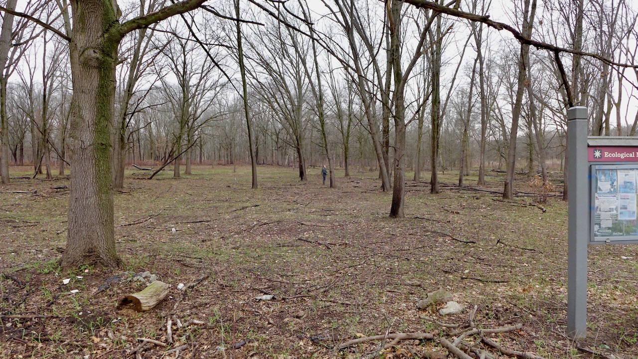
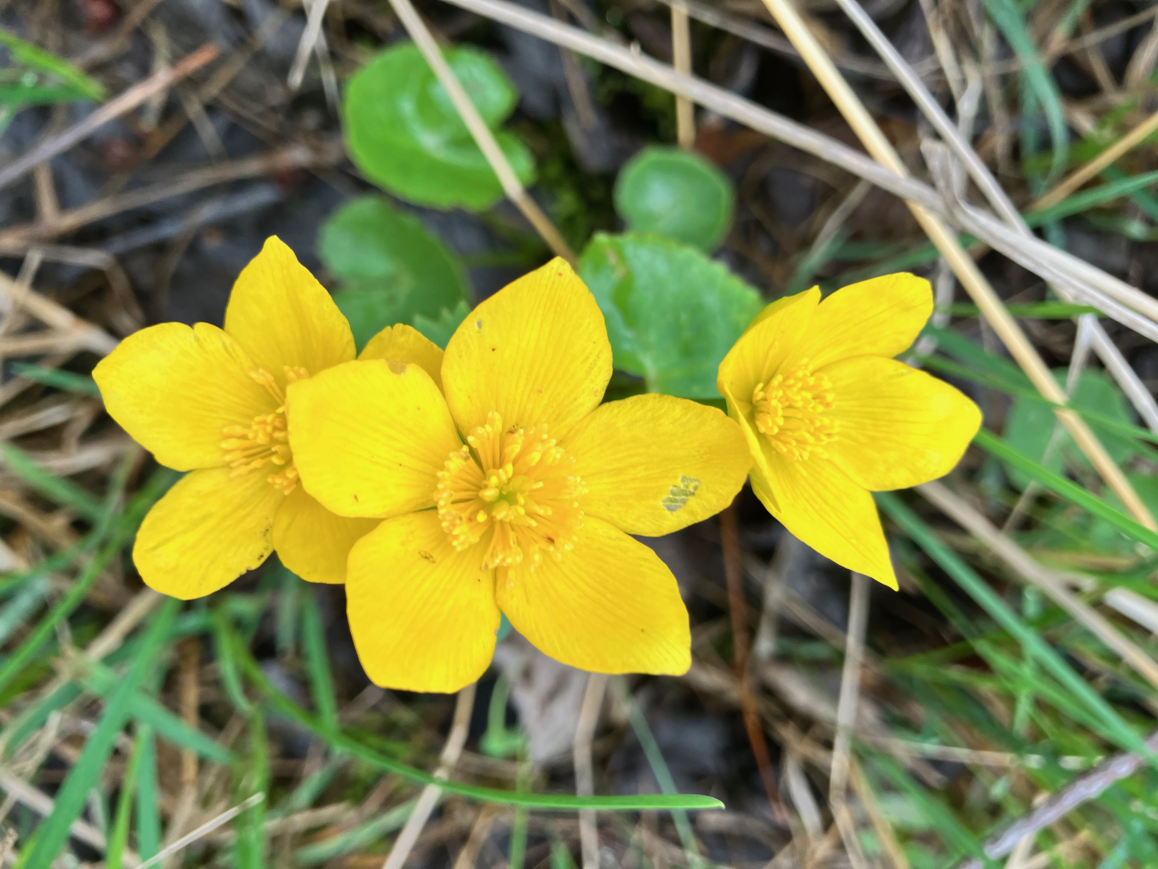
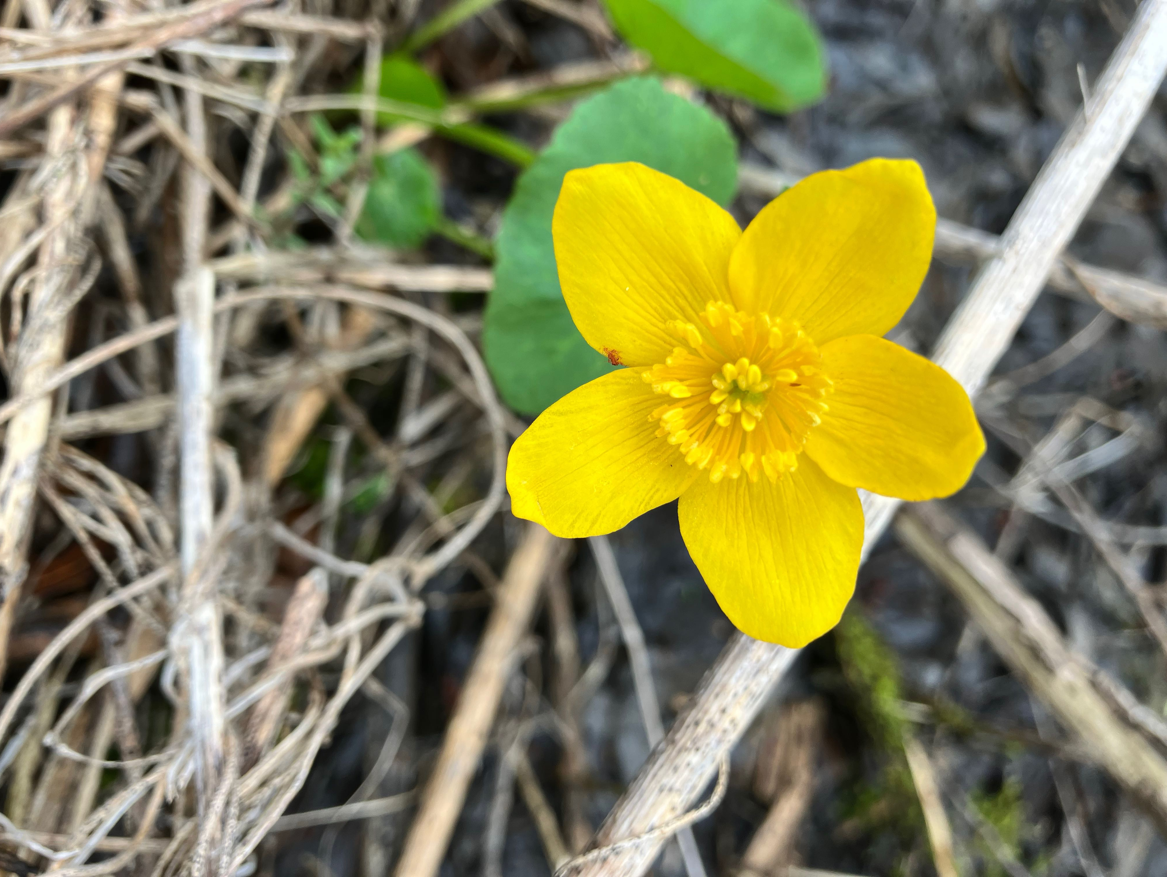
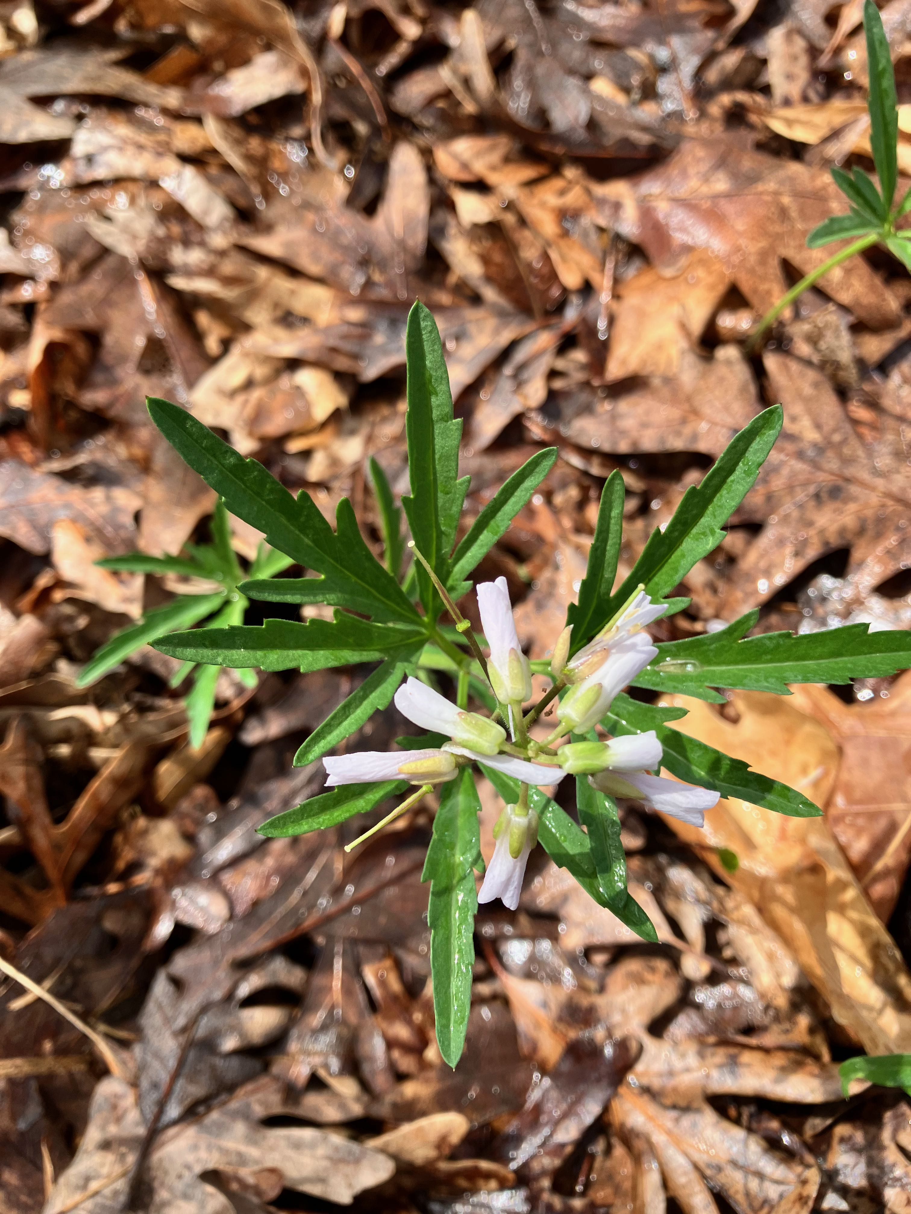
Too early for spring ephemerals in flower; some favorites would be right here under this oak.
But there were other friends to see!
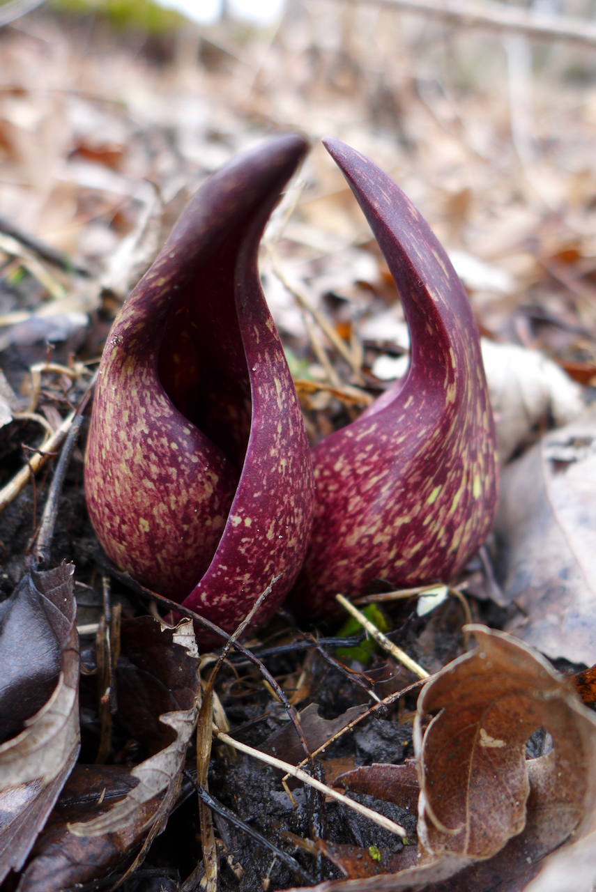
Too early for spring ephemerals in flower; some favorites would be right here under this oak.
But there were other friends to see!
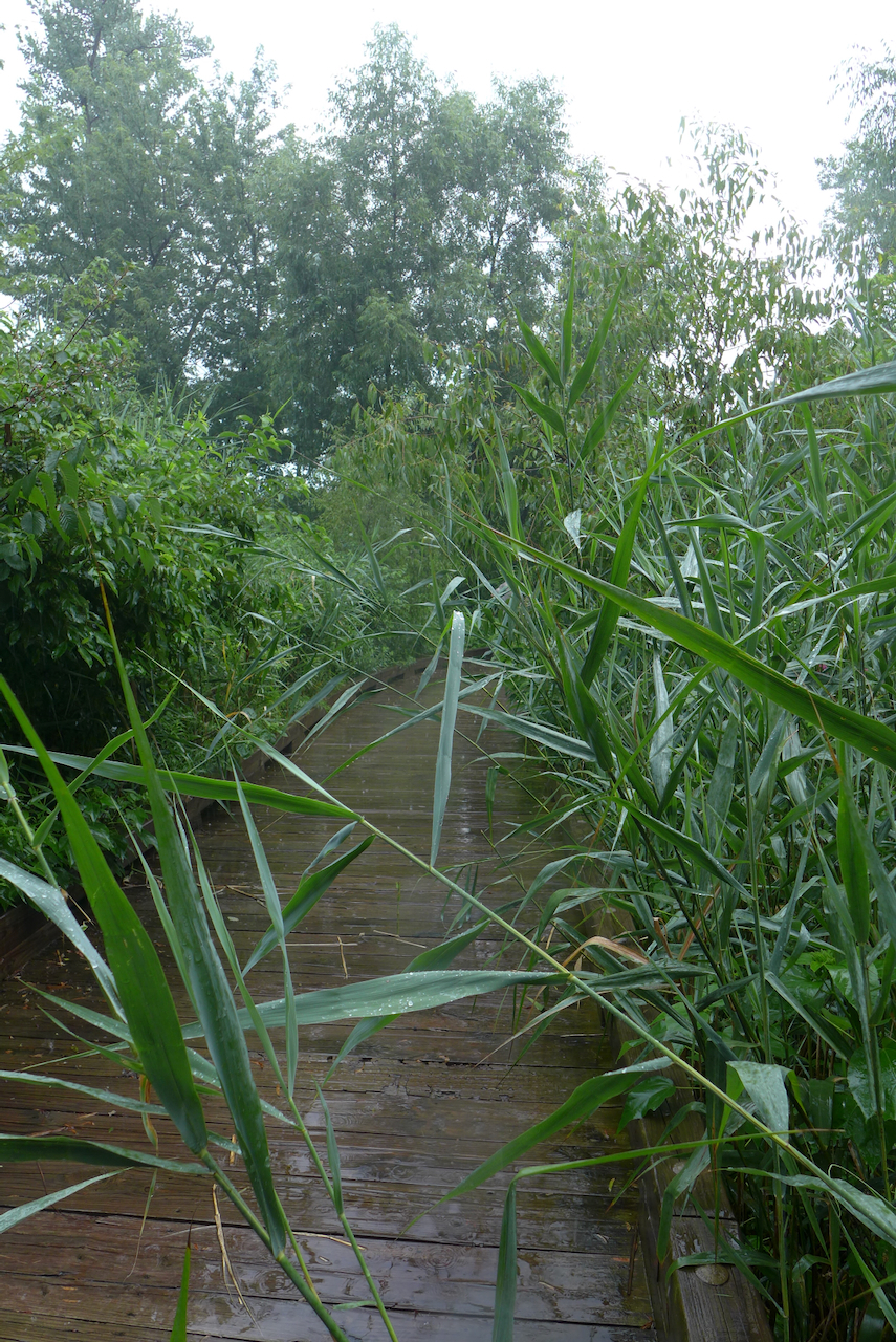
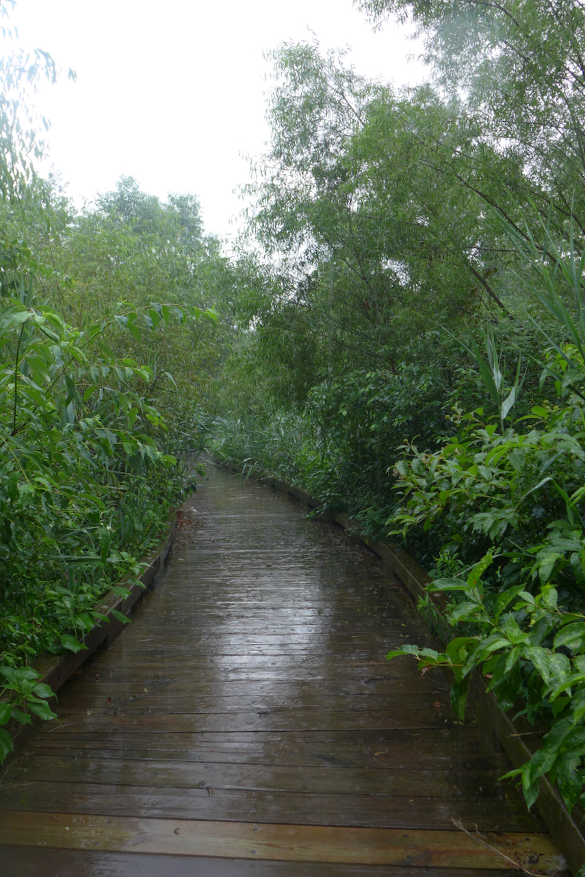
In recent years, I’ve visited Sand Ridge more often in the early spring, to locally see skunk cabbages and ephemerals. On this day in July, it’s rainy and overgrown with the amorphous green of a late summer urban woodland.
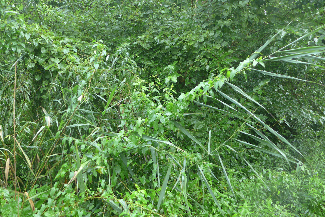
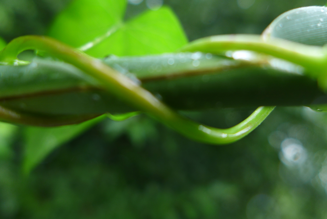
In the rain, the amorphous green belies the competition in front of us: just out of frame,
the hedge bindweed vine is twisting up Phragmites, taking down and smothering this towering invasive plant. Living the vine life is just about spreading out and getting as much leaf area in sun as fast as possible. Think kudzu, bindweed, invasive Fallopia.
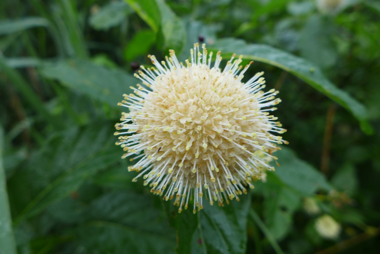
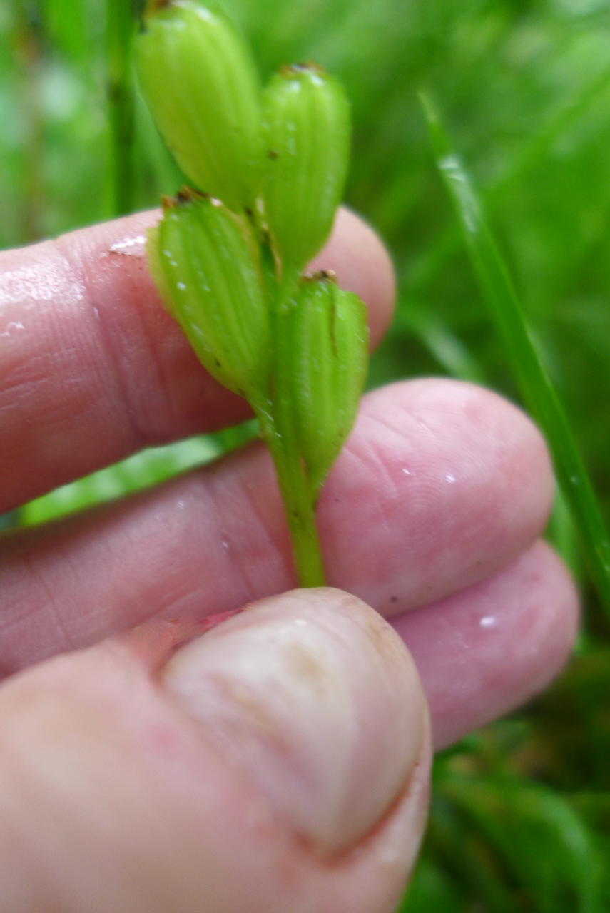
I’ve been visiting the same fen orchids at Sand Ridge for a few years now in different seasons. Note to self – remember that late-July is likely too late to see them in flower!
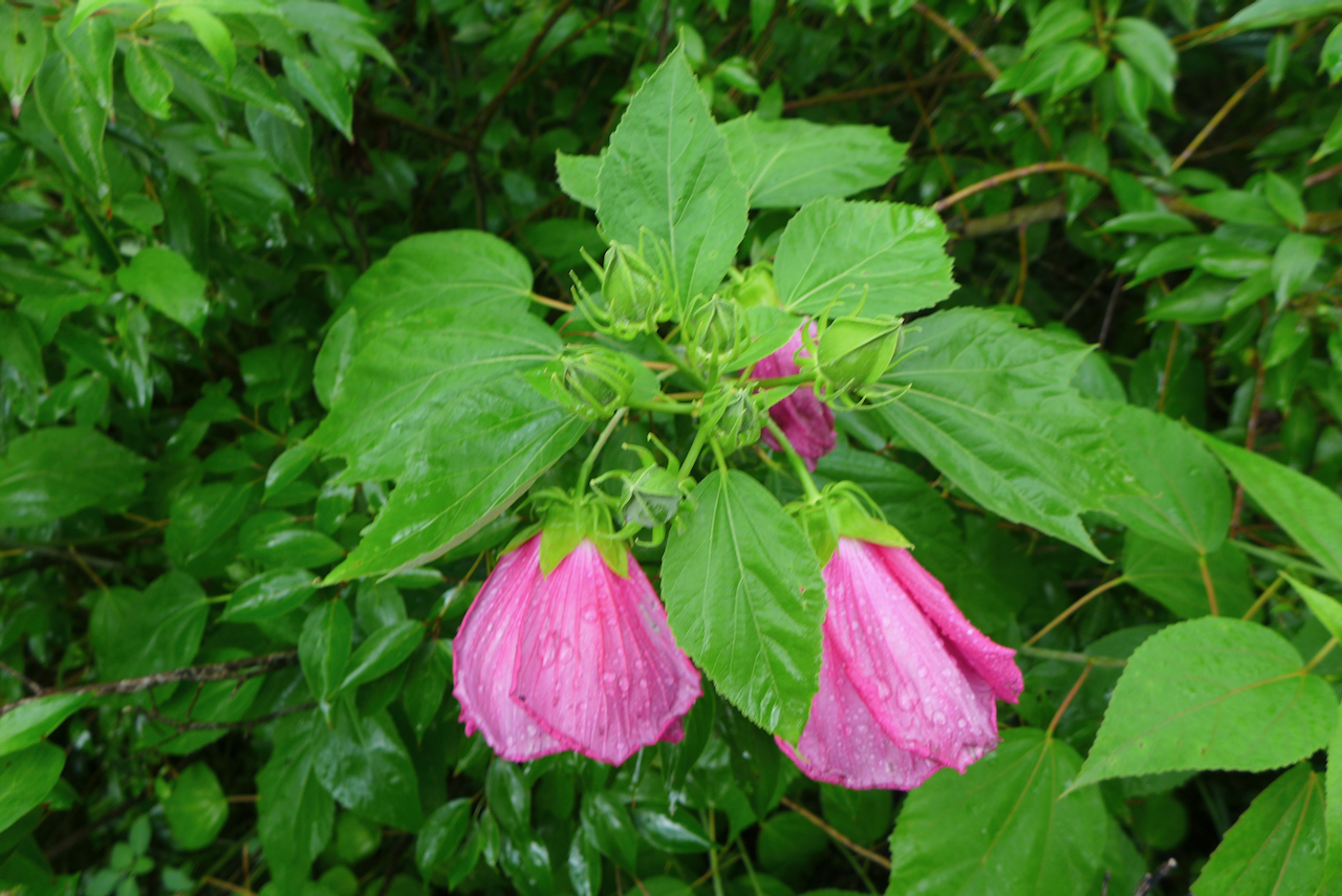
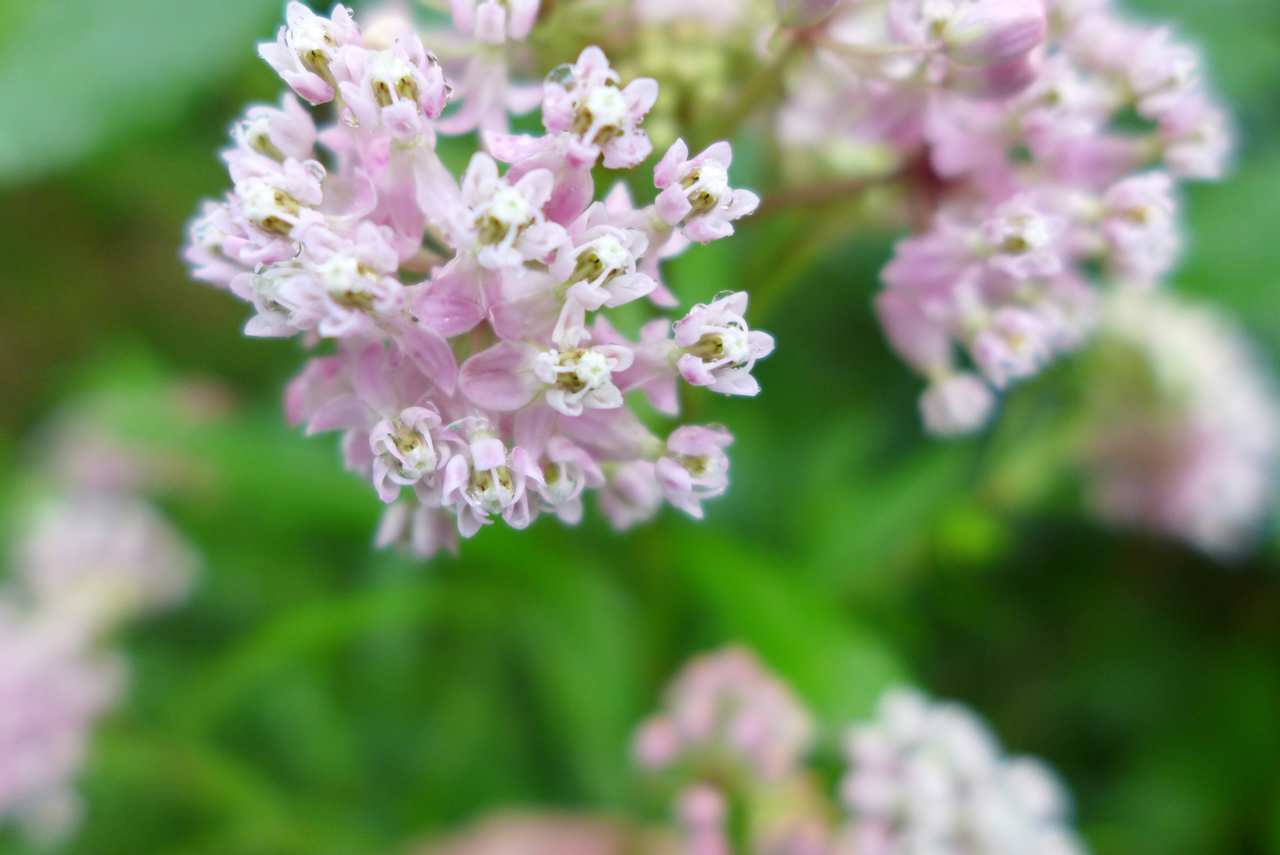
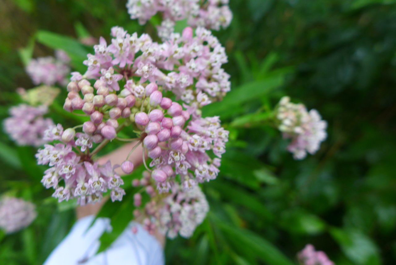
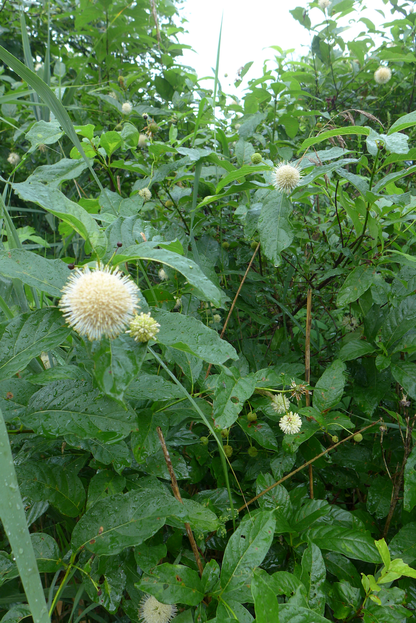
The swamp mallow are just starting to flower. In another few weeks, either side of the boardwalk will be profusely fuchsia!
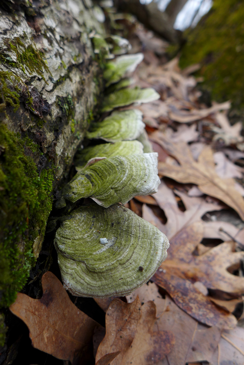
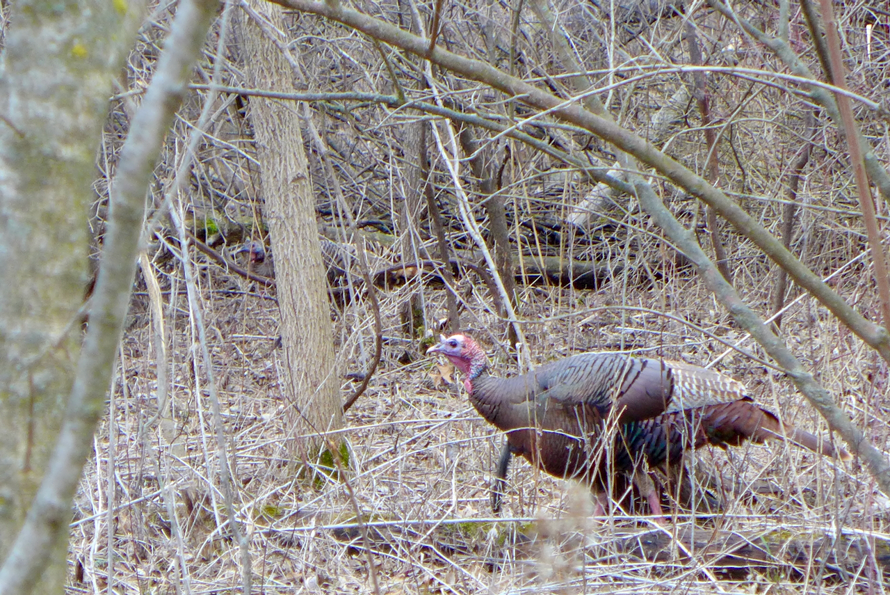
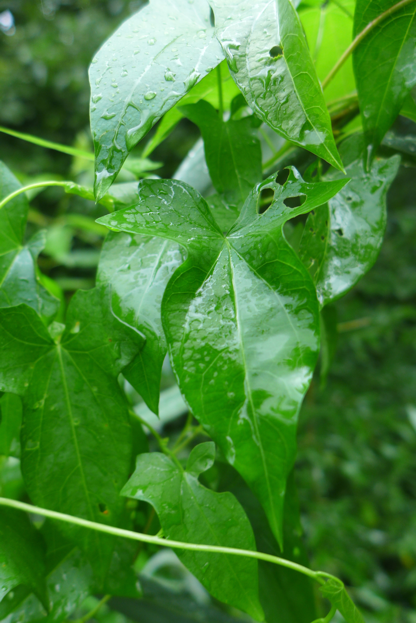
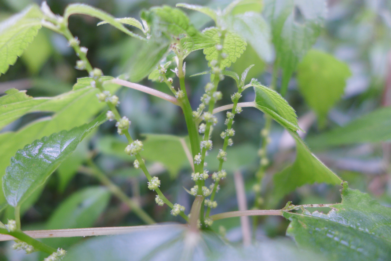
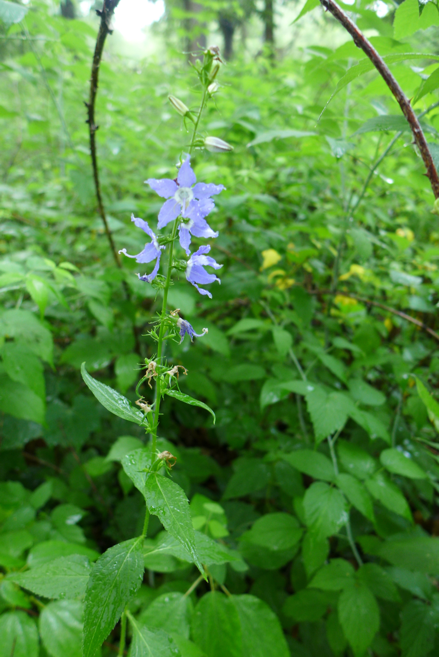
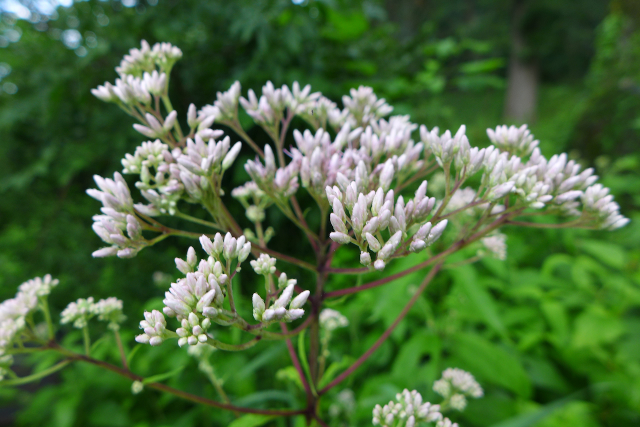
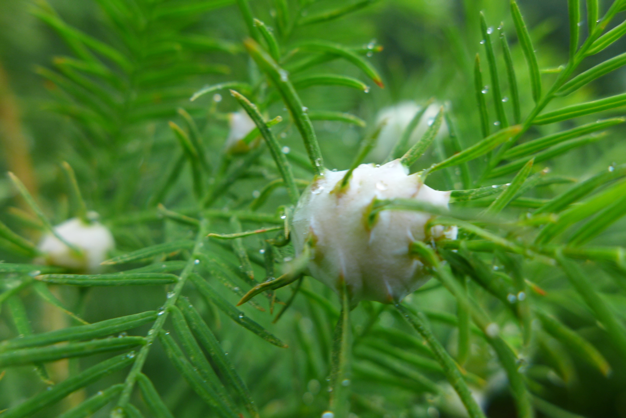
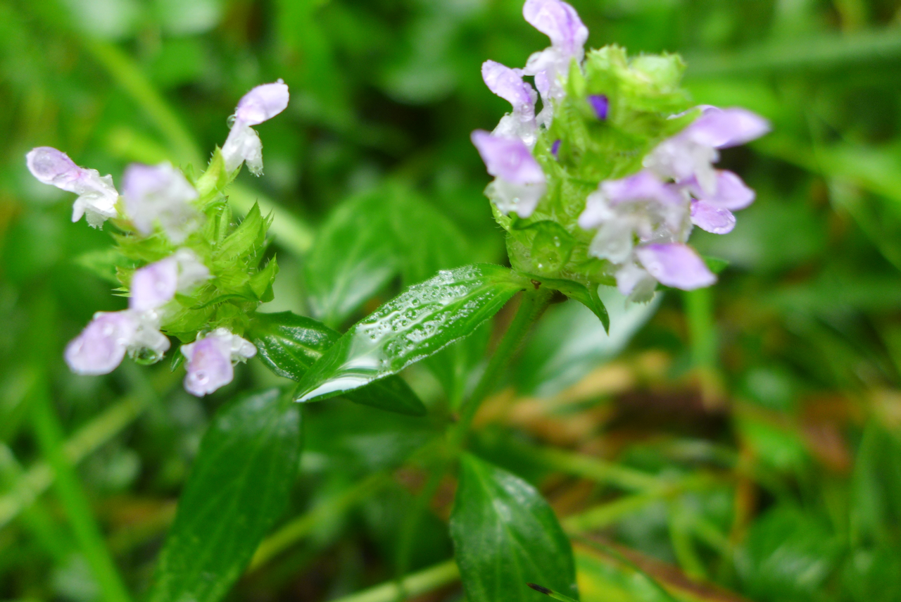
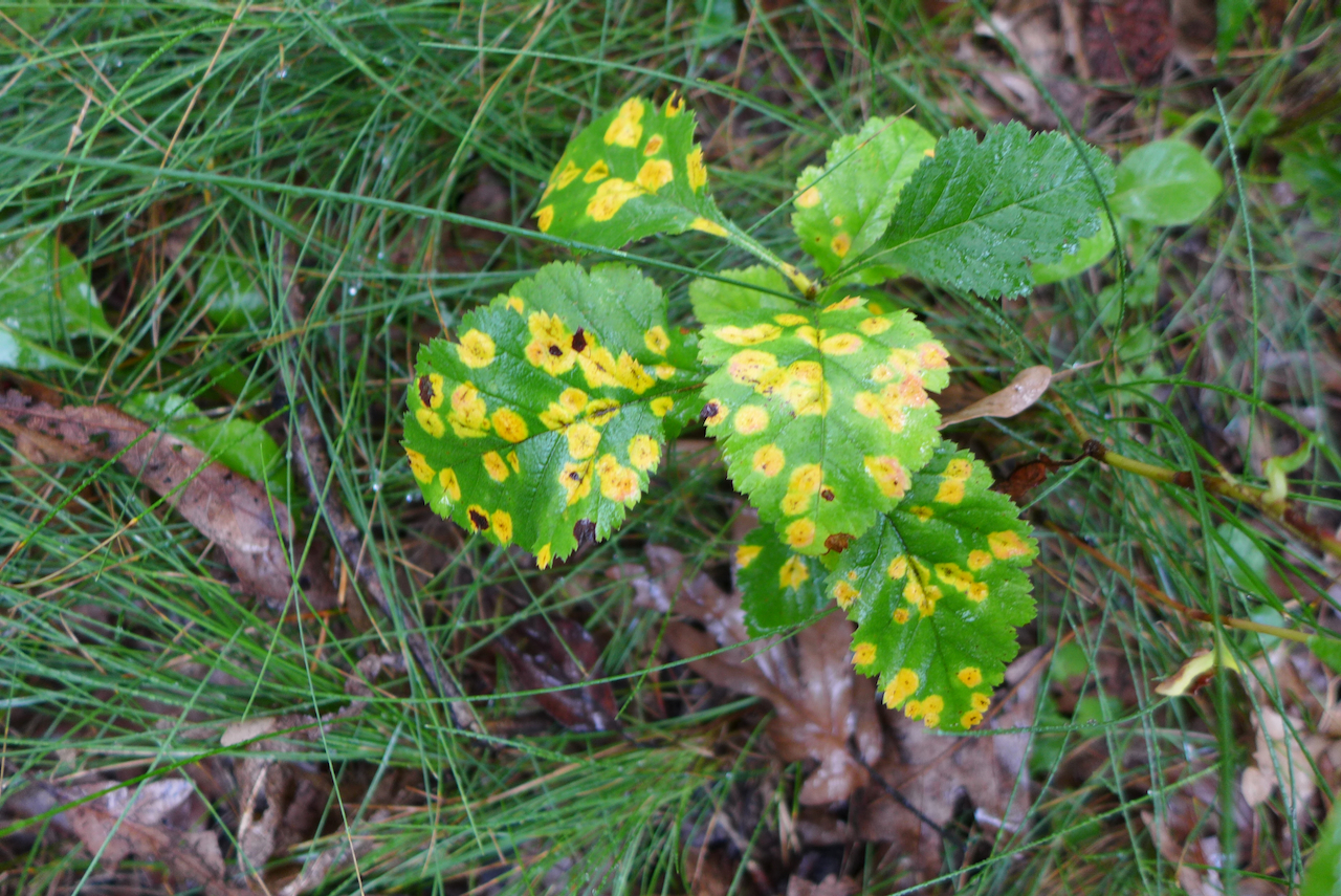
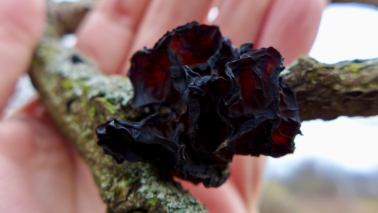
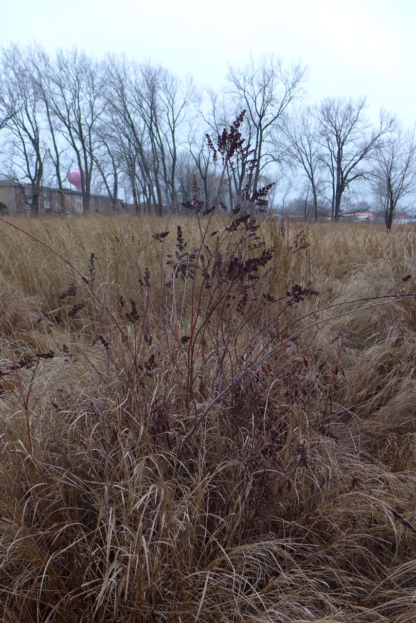
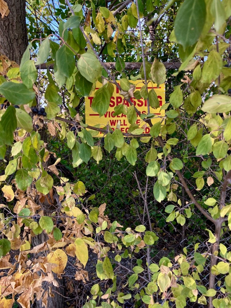
An assortment of other plant friends (and enemies!) on the trail:
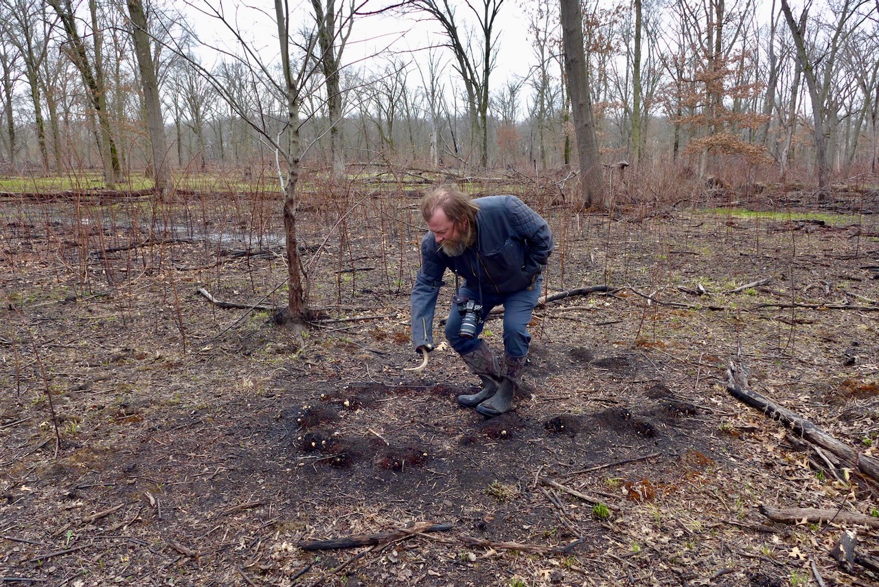
There was a burn here recently, like many other local haunts. Deep in the woods, near the fairy ponds, singed mounds of grass look like modern photosynthetic stromatolites (with plant, not cyanobacteria!). It was a good burn season, or so went the public lands stewardship chatter.
Powderhorn encompasses a vast tract of land, owned and managed by the Forest Preserve District of Cook County, on the far southeast side of Chicago. It’s a stocked lake with fishers all year round, an award-winning remnant dune and swale habitat,
a to-be-acquired industrial lot with rail tankers, a railroad track lined with Phragmites, and disused land in a residential district made into an urban sponge that captures rainwater and drains it in to the lake. Altogether, it makes a really nice urban greenspace

that works with the land and hydrology and habitats, and enhances what they already are (minus some invasive species and plus some light mowing). Check out this terrific Storymap about the most recent restoration project!
…

…
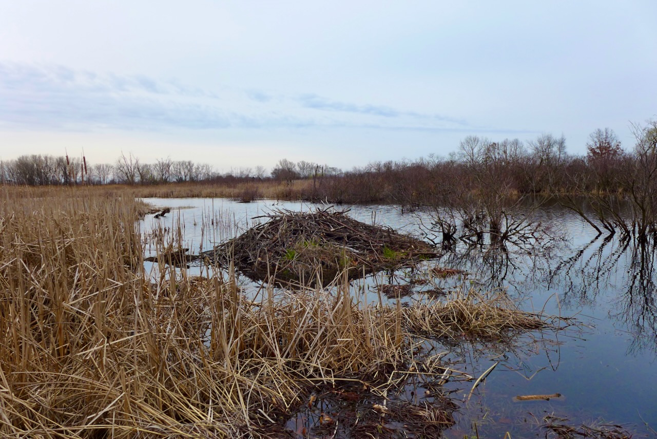
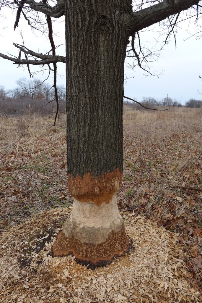
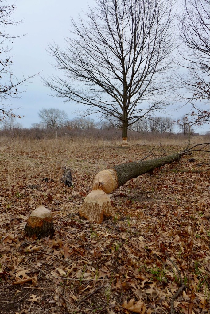
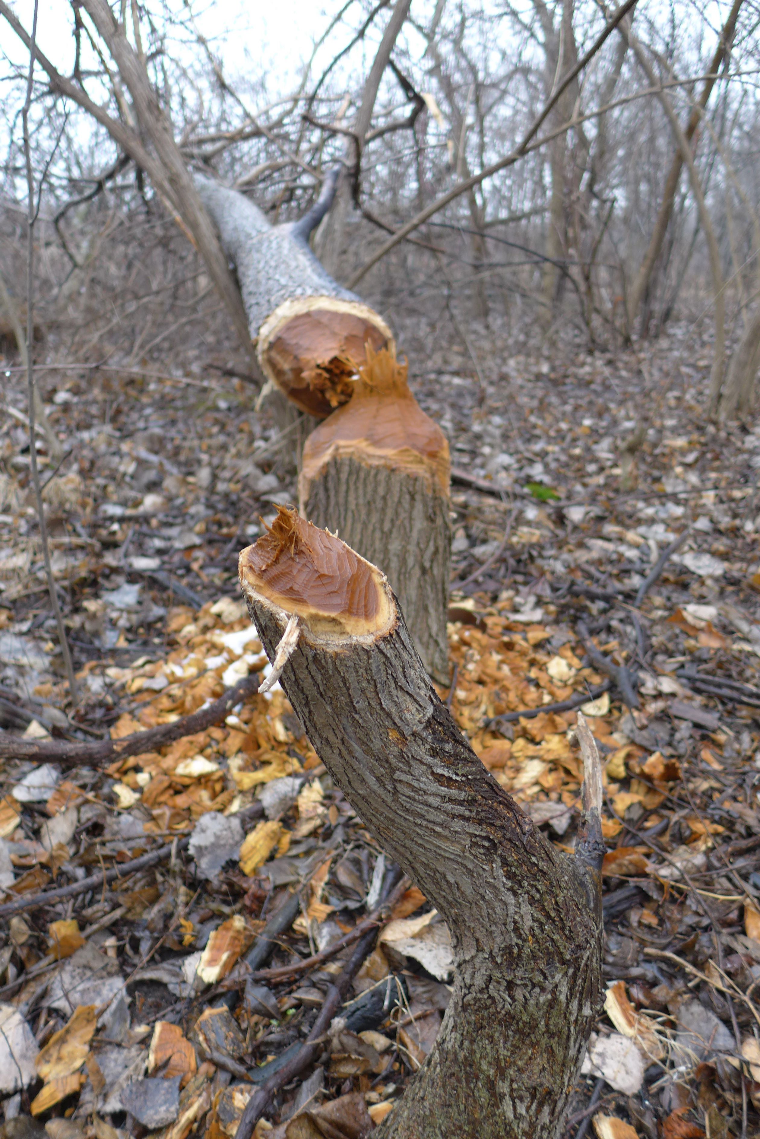
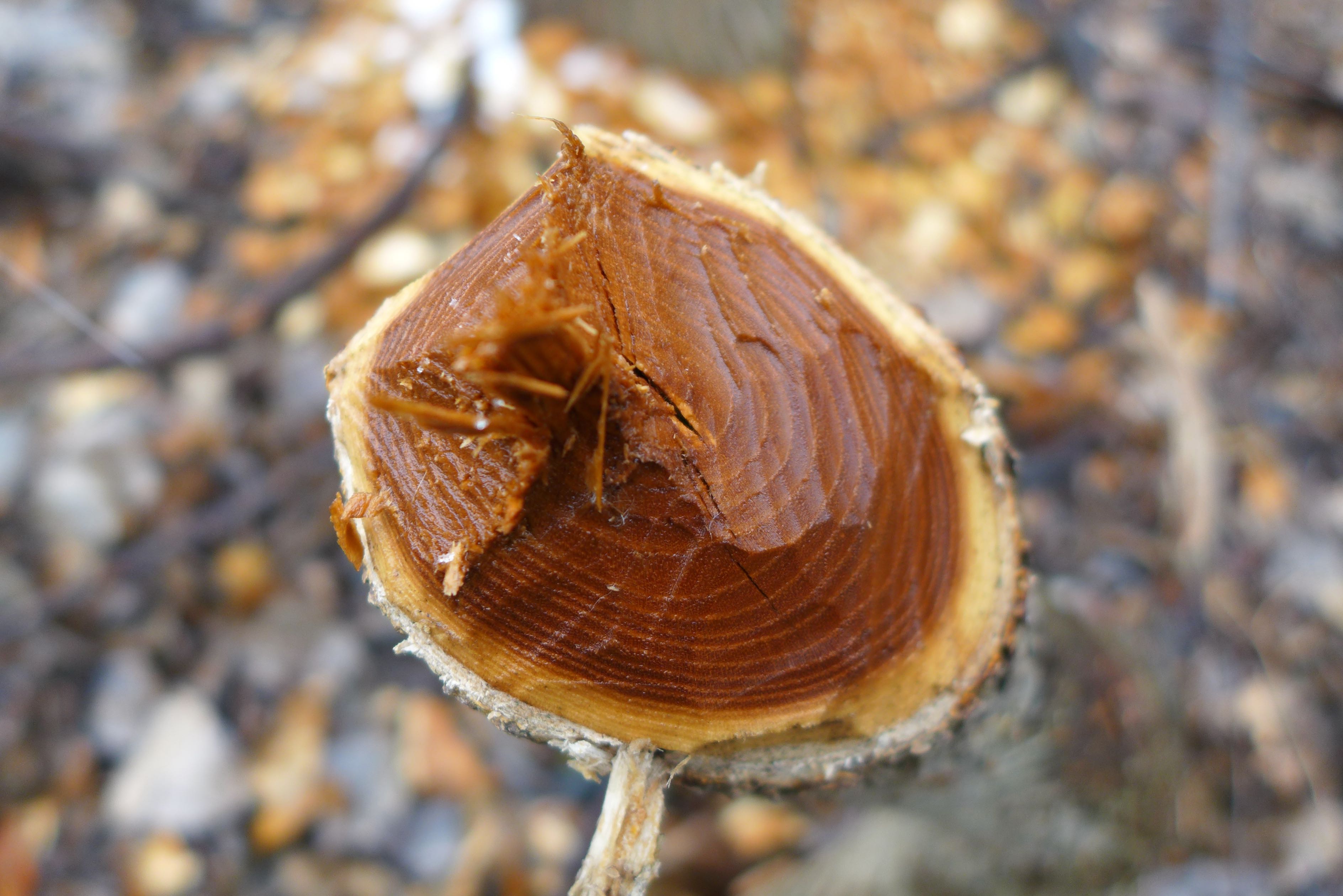
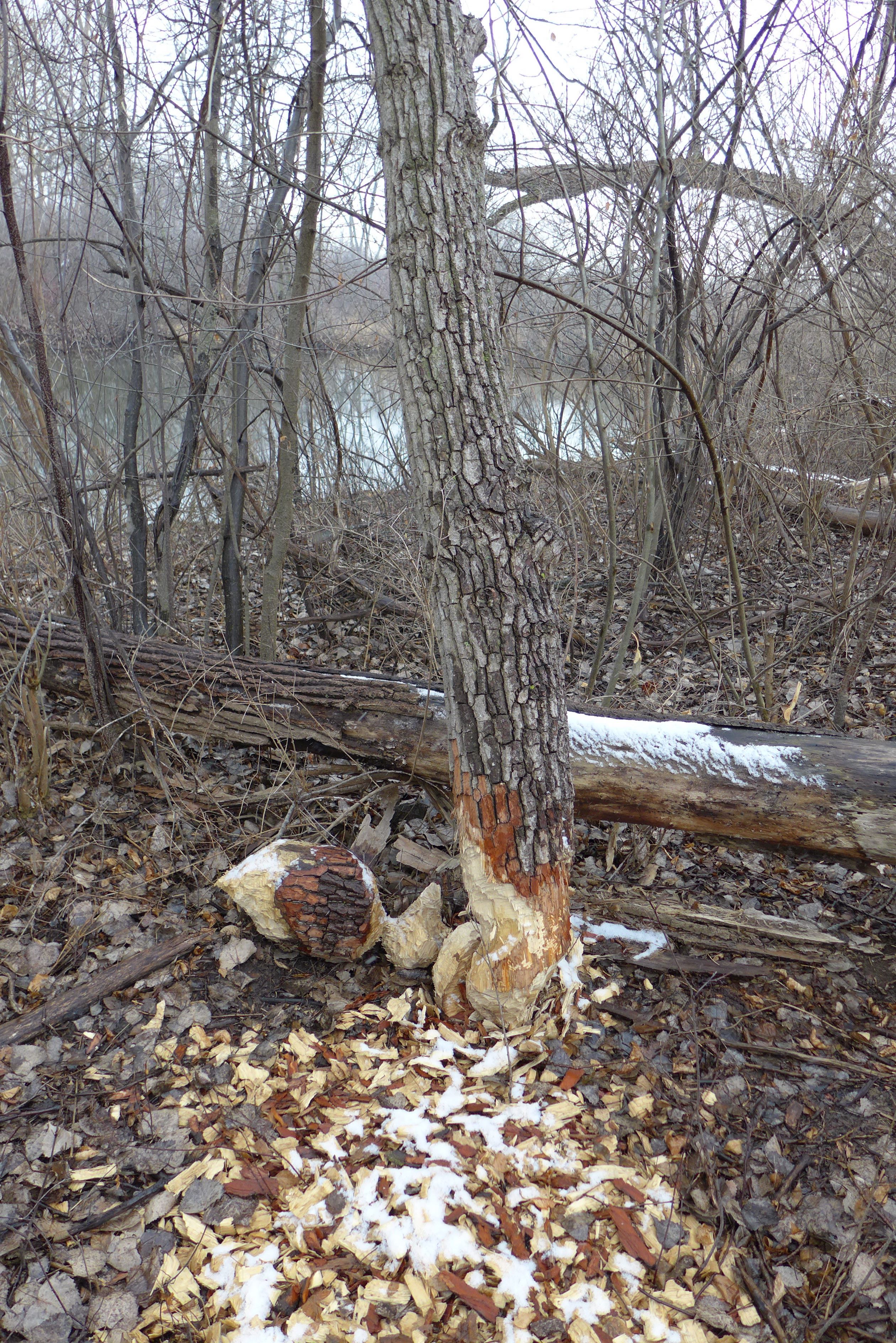
We saw lots of evidence of beavers!
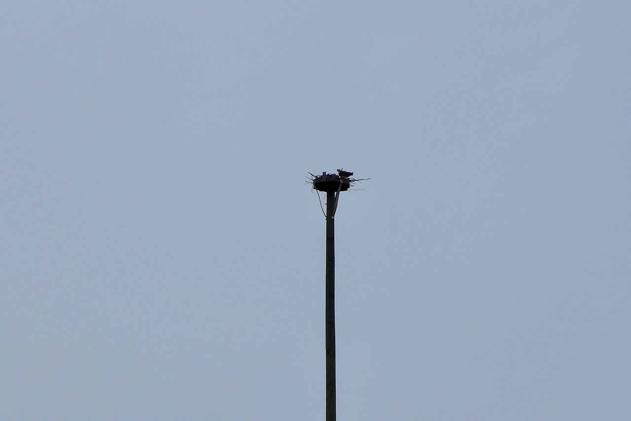
and other wildlife — like this osprey on a nest on a human-constructed osprey tower!

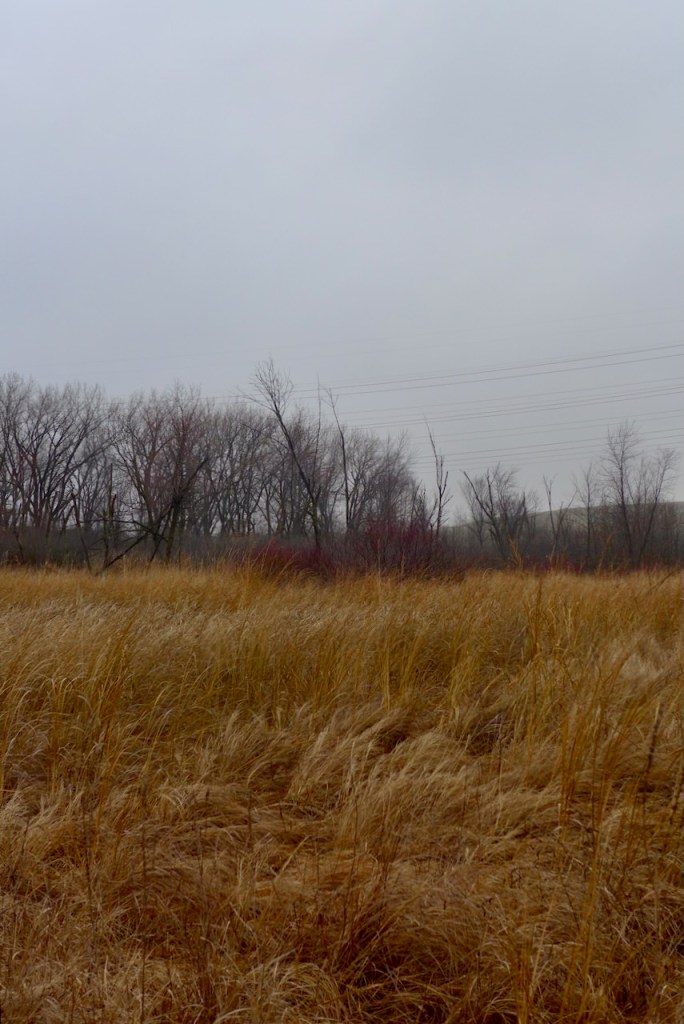
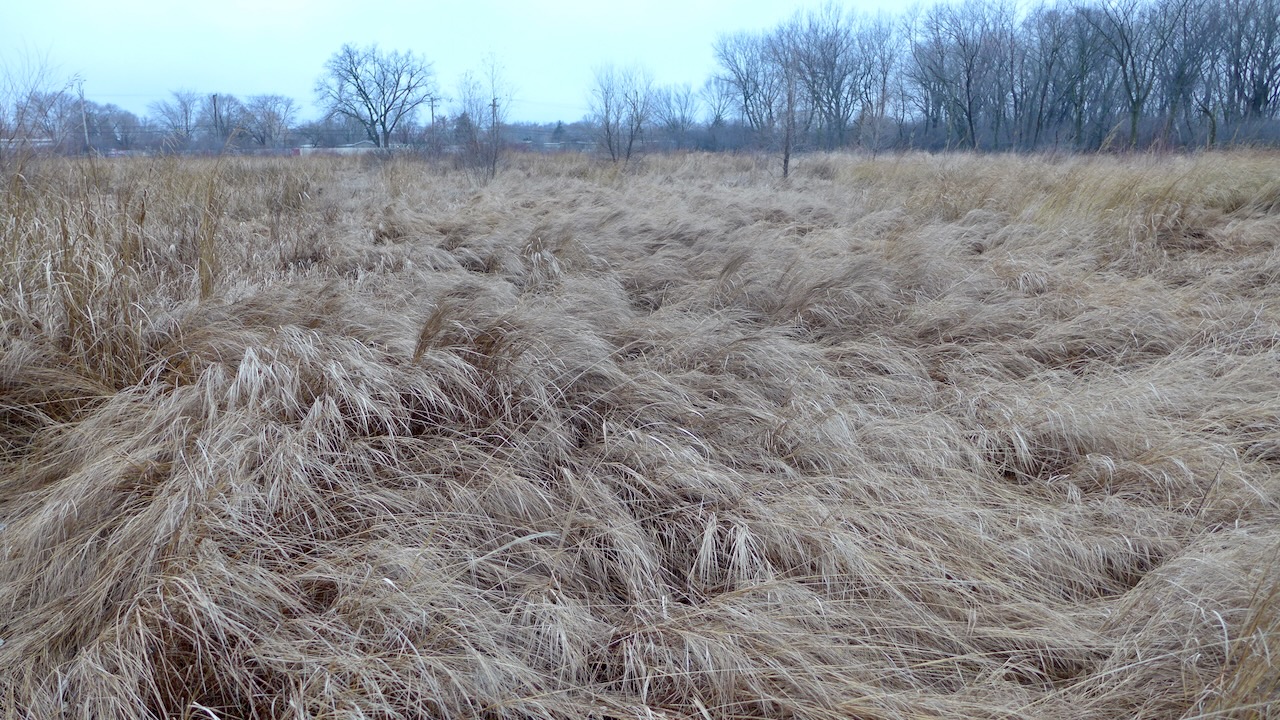
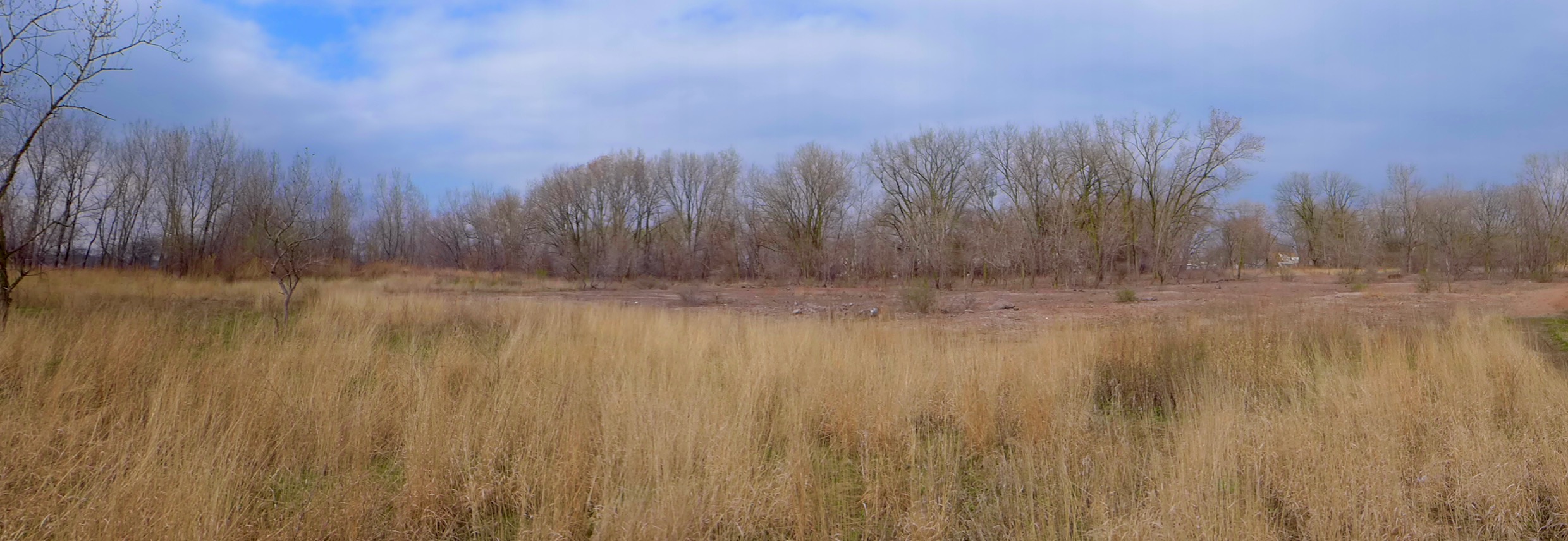
It’s a real urban prairie – an undeveloped remnant that was dense Phragmites only a few years ago.

we drove all the way along thornton-lansing road, ignoring our usual stop at the fairy ponds, and drooling at the restored forest preserve to the south;
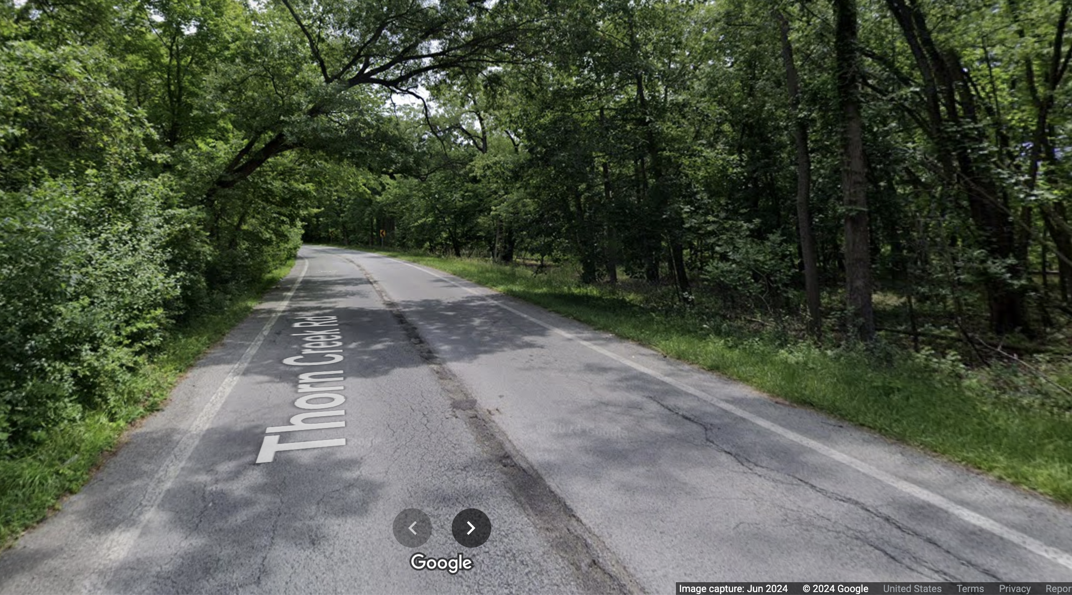
then turned south, wiggling beside, and then across, thorn creek. (I was focused on driving so these are all snips from google street view:)
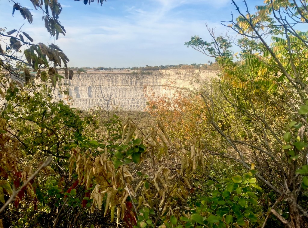
“and where,” I mused, “are the quarries?” So we drove further west and my god they are huge. hidden, sloppily, by recruits from the local seed pool, or so completely by earthen berms, that it’s not clear exactly where they are.
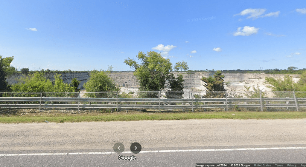
then we noticed a lookout on the east side of this southern quarry. no one else was around.

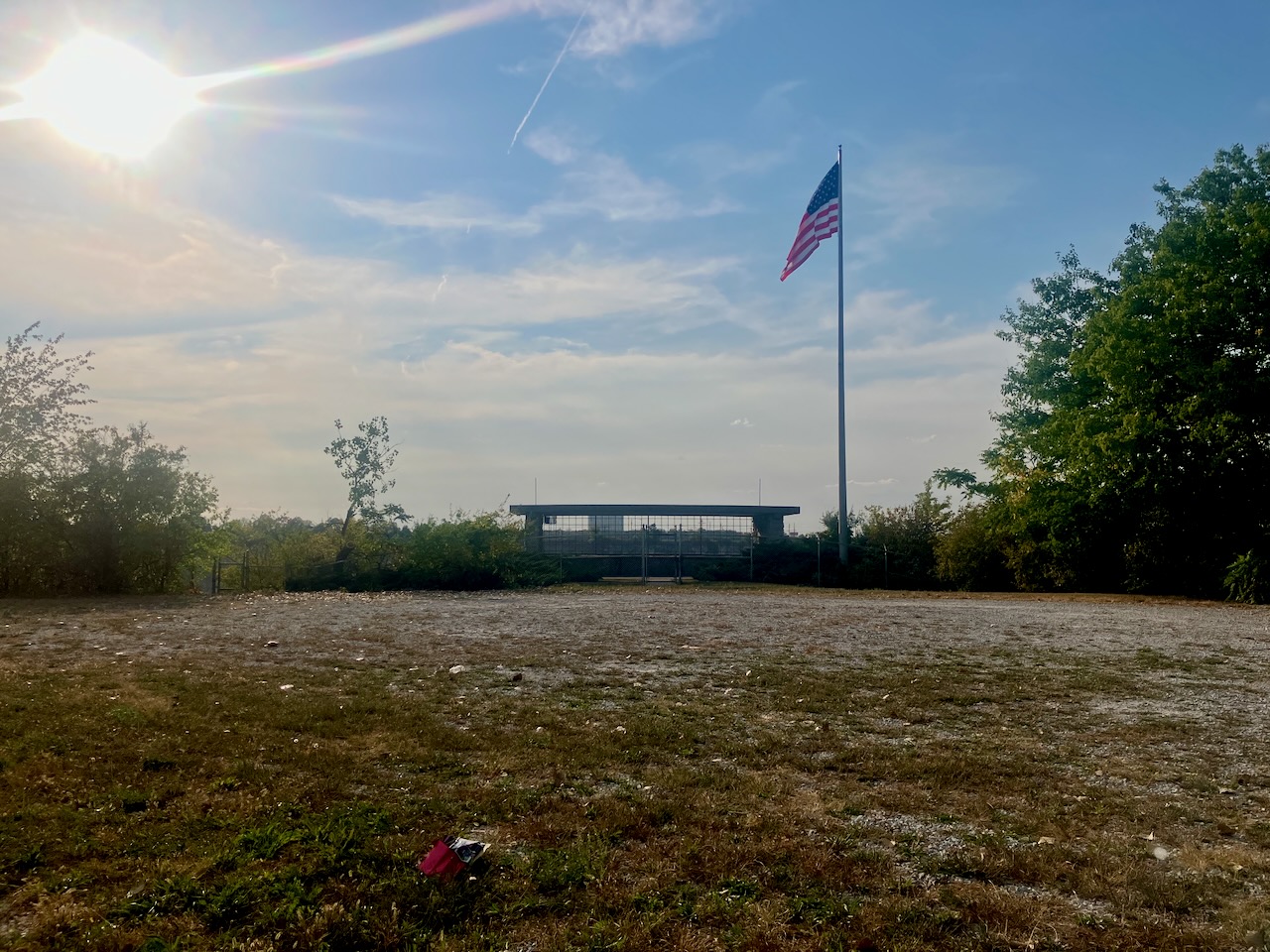
we were unable to actually access the lookout, but it’s clear it wasn’t too long ago that people were invited into this space by manicured junipers and fossils. what a view it must have been!
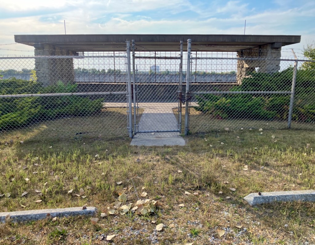
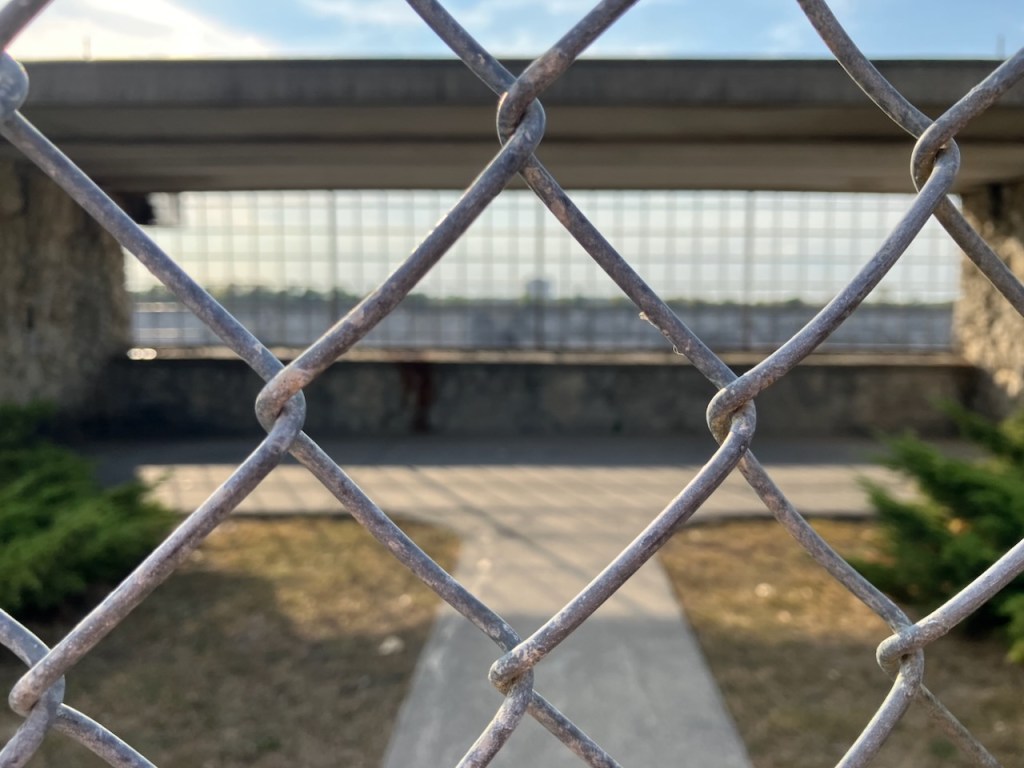
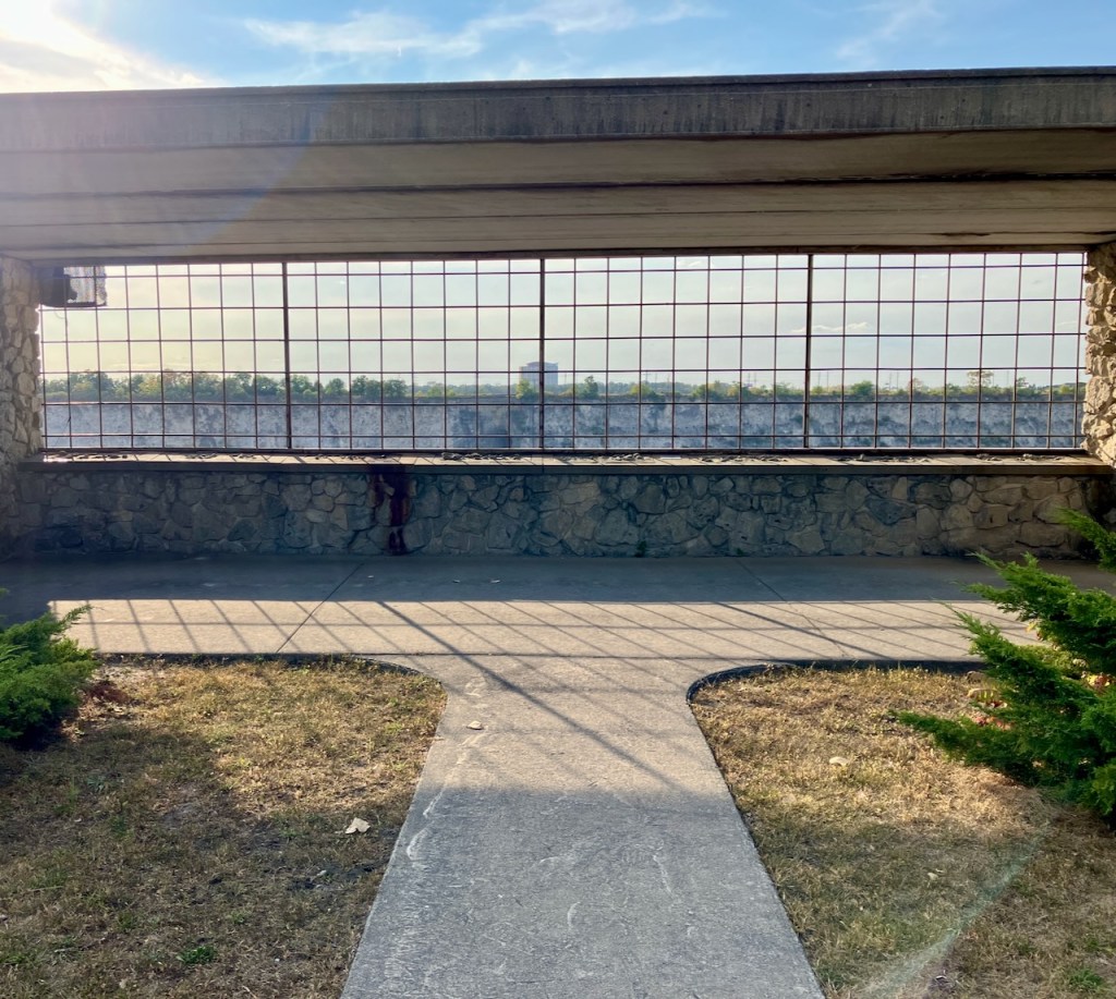
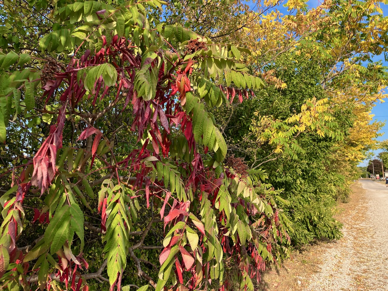
unfortunately there was not an easy way to bypass the fence, so we walked tamely back east, along the mowed grass and gravel, both dusty. it’s been weeks without rain. the young trees – ash, tree of heaven, buckthorn – sadly hung their leaves, in heavy yellows and reds.
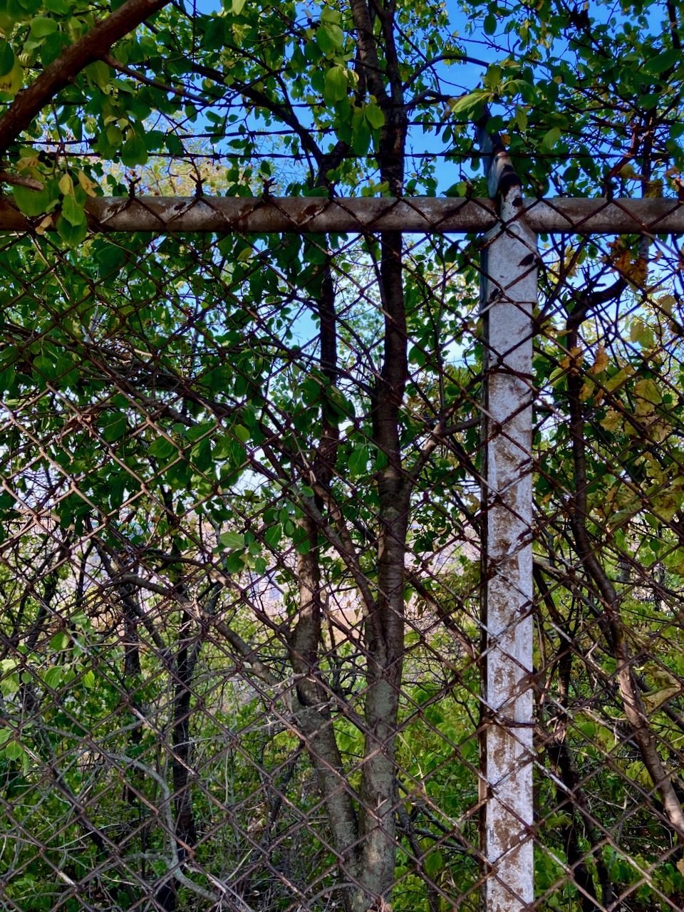
It’s not a place where I’d like to fall in, but nothing is more inviting than restricted access…

We came up through the south end of Burnham Prairie, over several sets of railroad tracks. There was no parking lot; it just seemed like a close spot based on Google Maps.
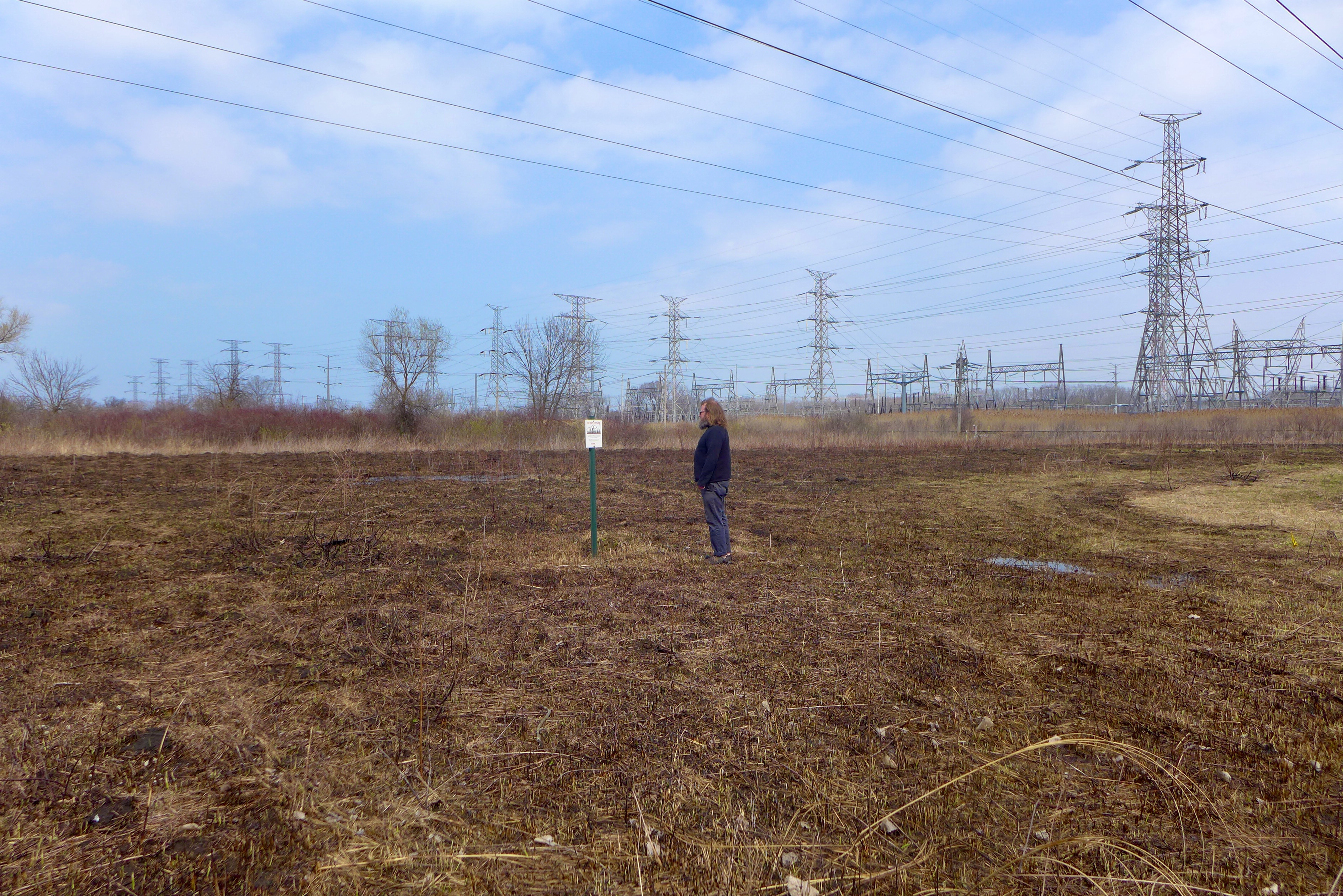
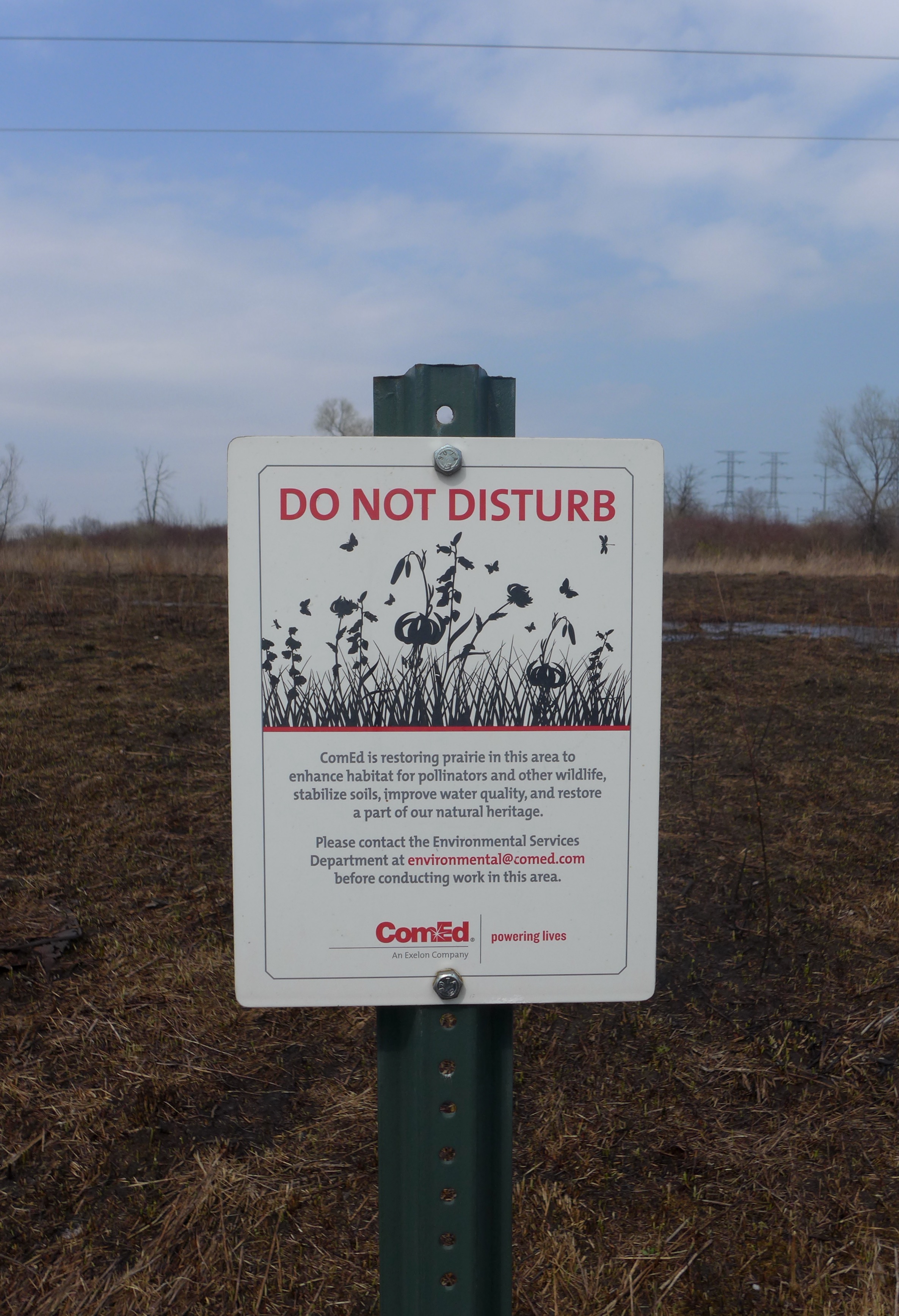
We found a recent burn by Com Ed,
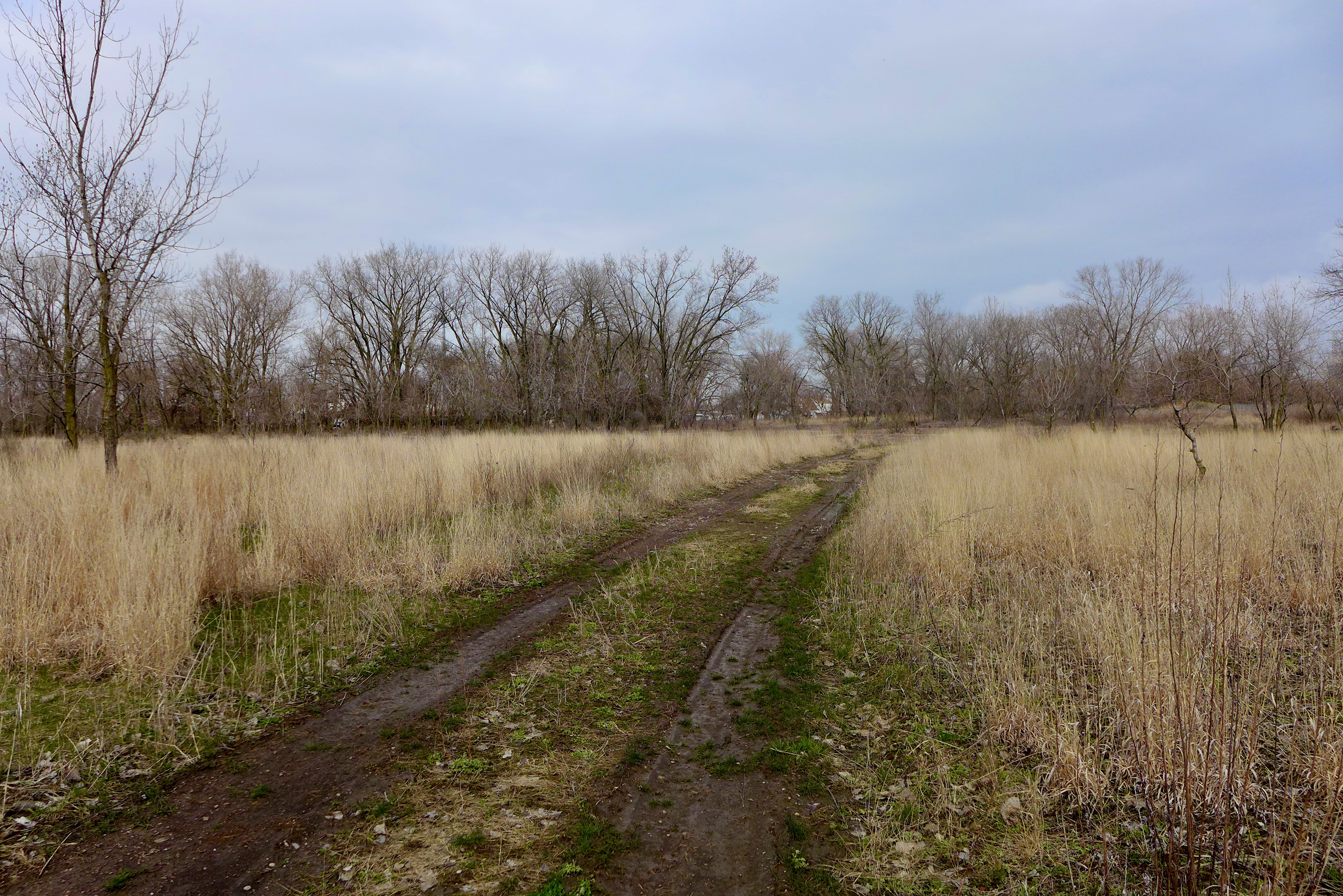
and skirted the wetlands of the Illinois State Nature Preserve.

We turned back and drove up to the north end of Burnham Prairie, well-hidden in the furthest reaches of residential Burnham, abutting the Grand Calumet River.
As we approached the slag prairie I realized I’d forgotten how much like Mars this slag is: everything is very stunted (very clear in cottonwoods); spotted knapweed is a champ and brings all the pollinators to the yard; there are a few Liatris, lots of whorled milkweed, some sumac; mosses making the barrens less barren.

Check out another visit to the same site a few years ago: Burnham Prairie, IL • March 2016
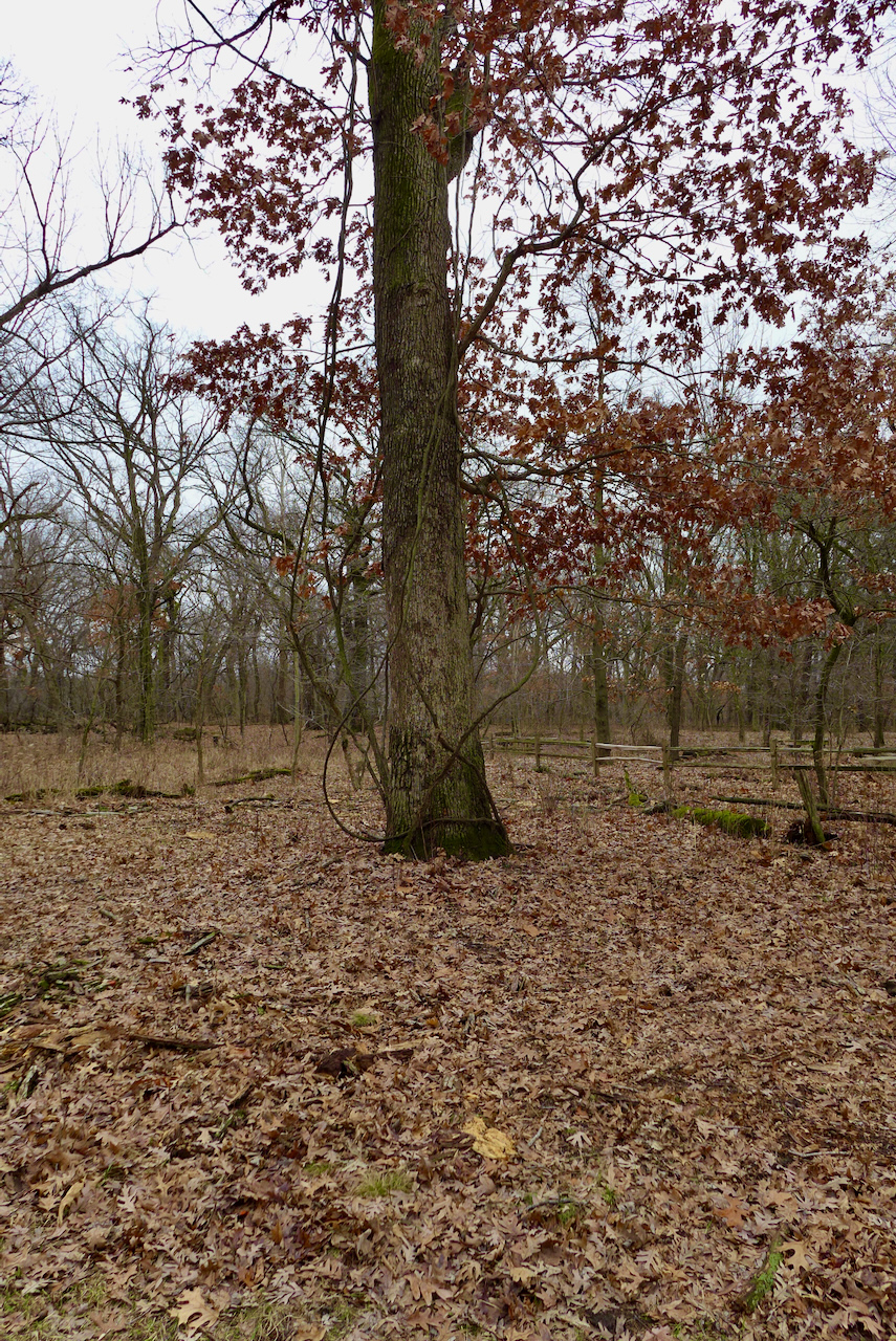
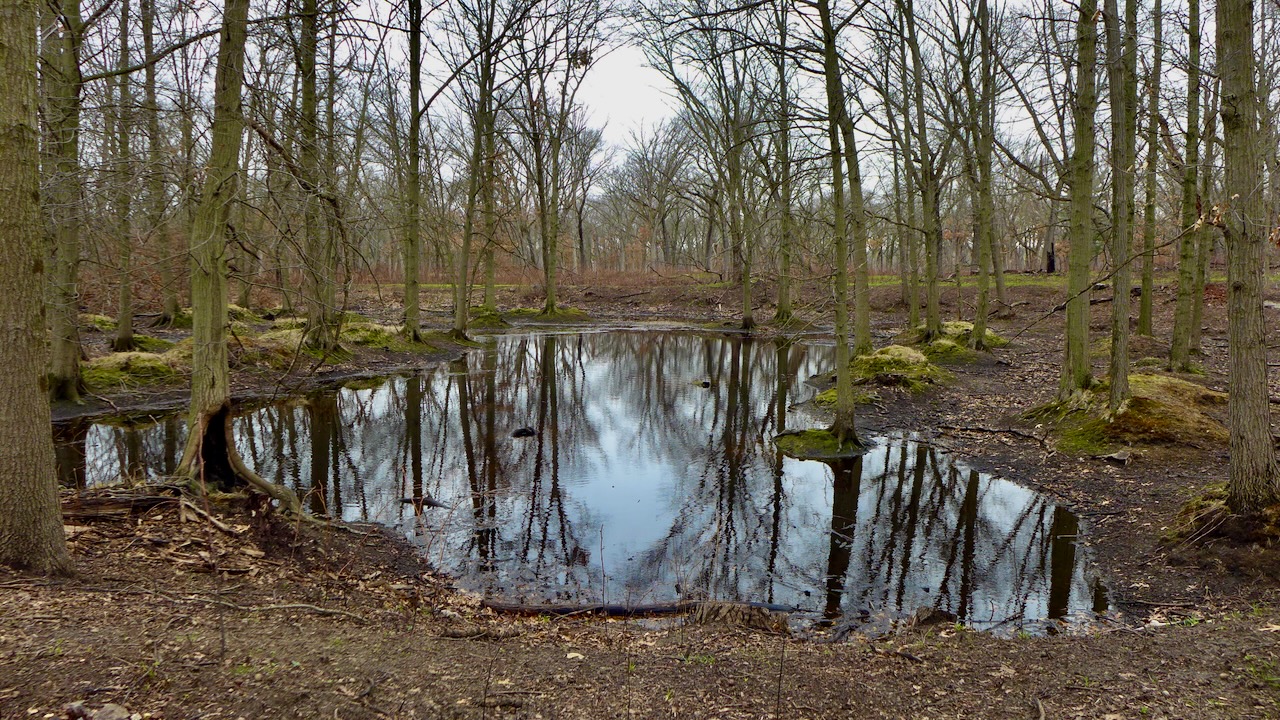
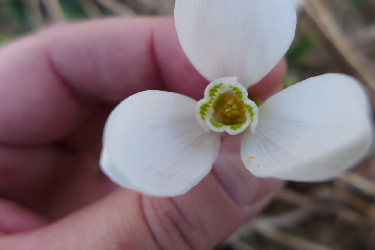
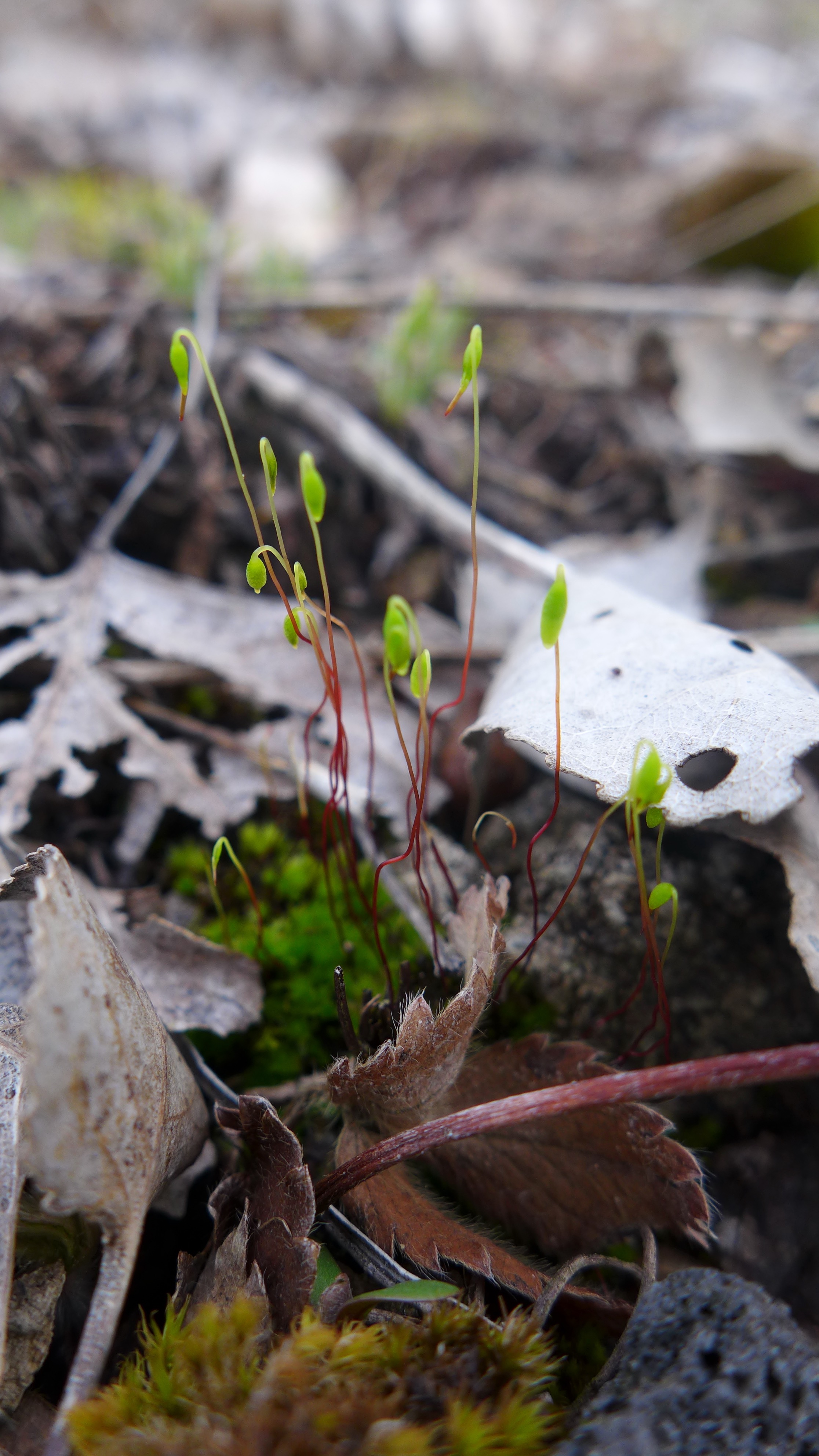
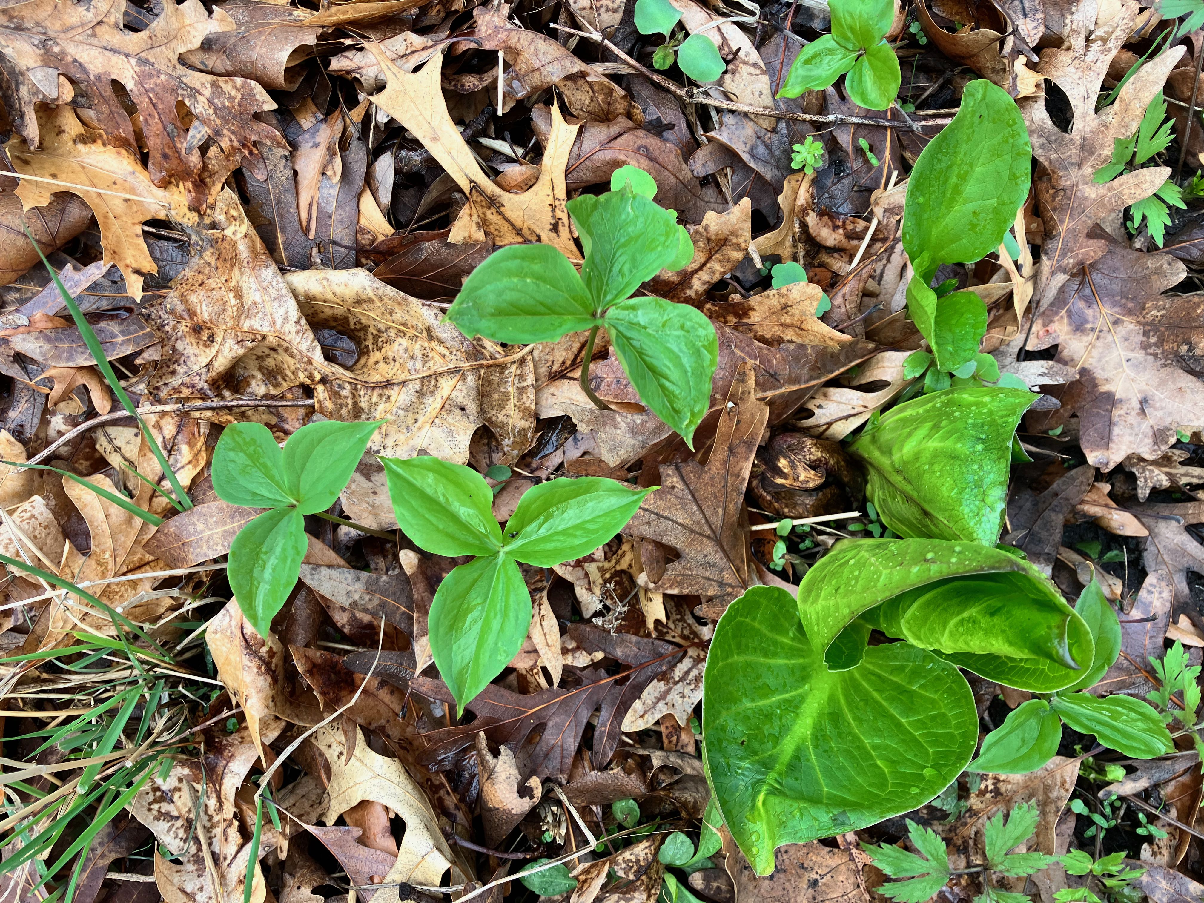
It’s that time of year again – spring ephemerals at Sand Ridge. They never get old.
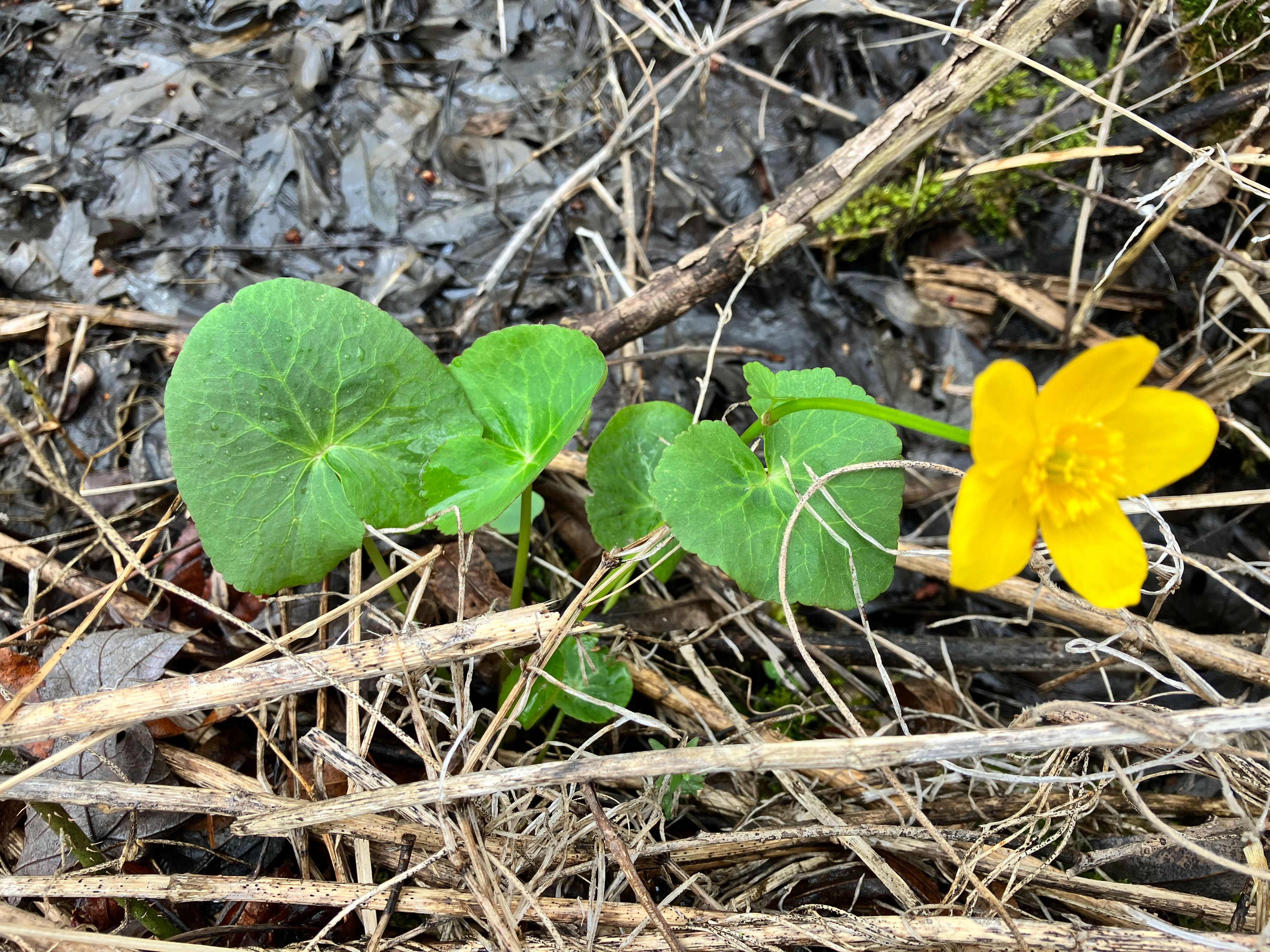
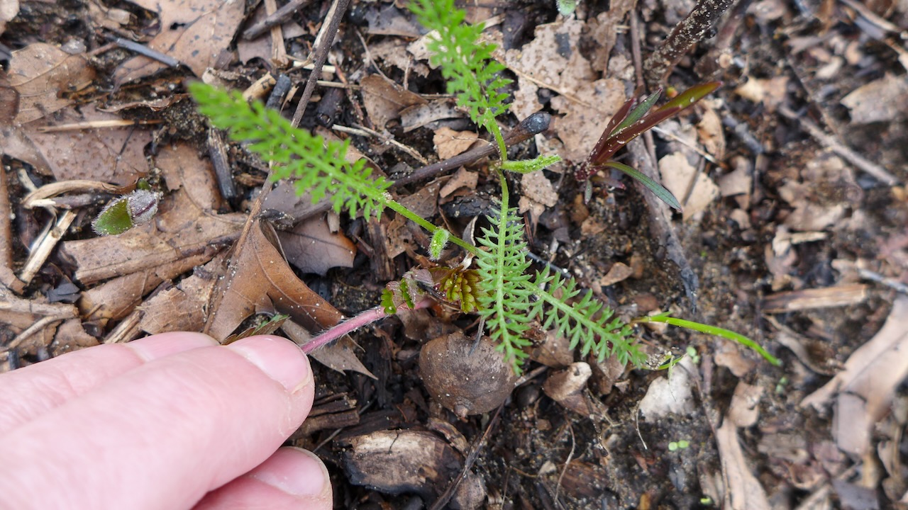
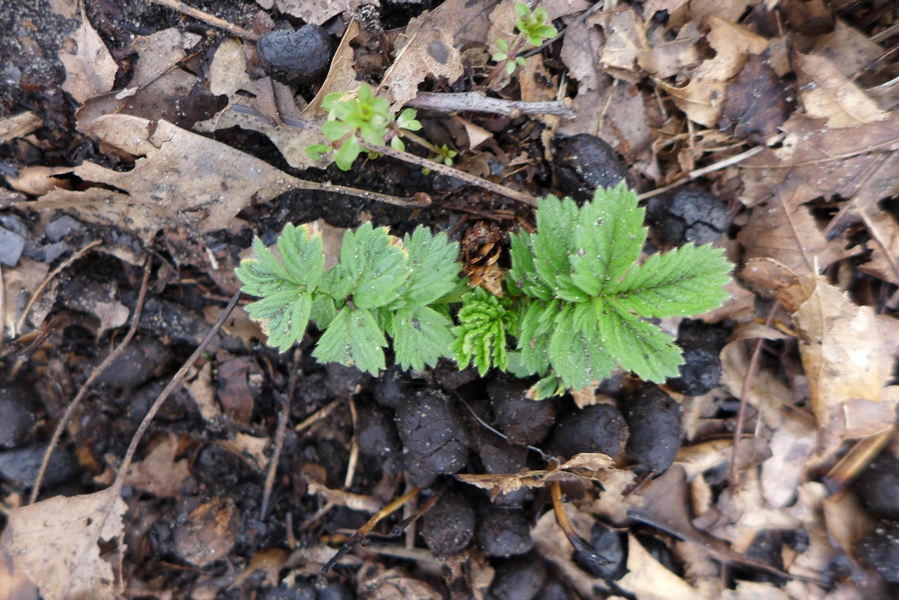
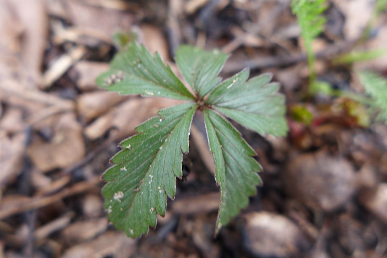
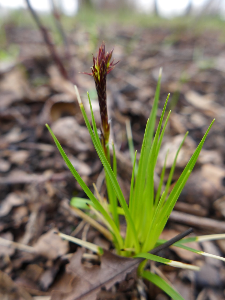
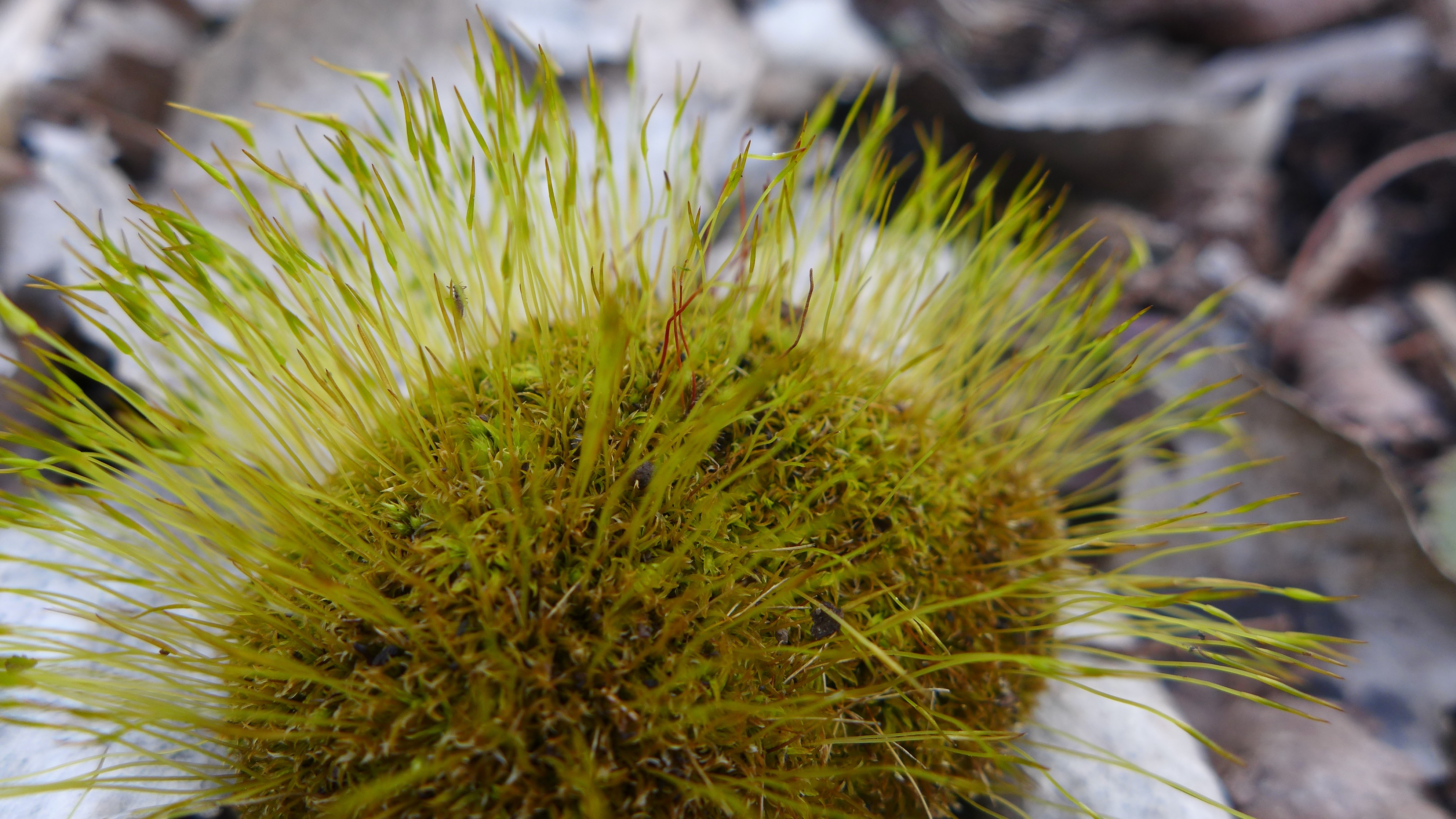
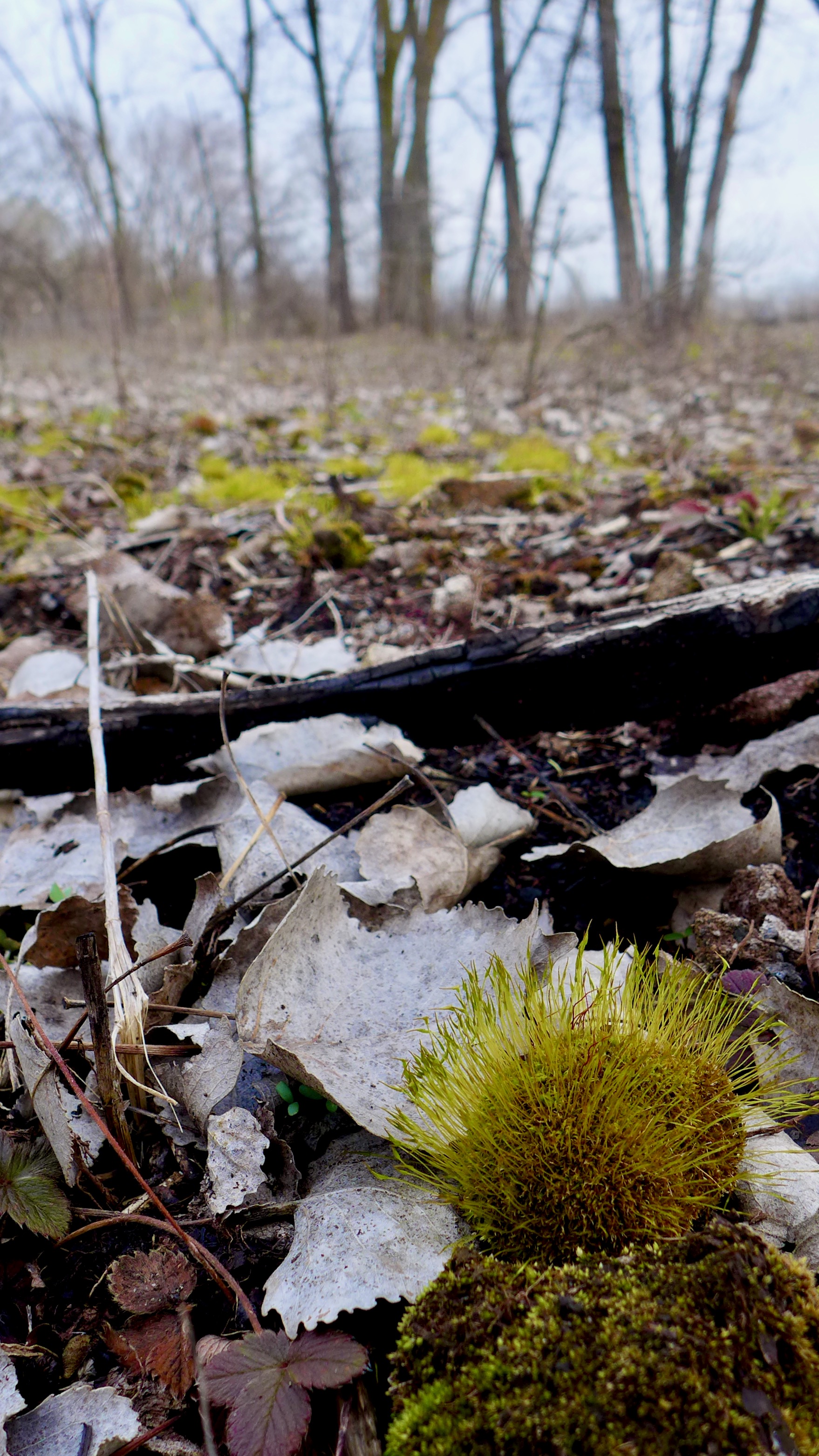
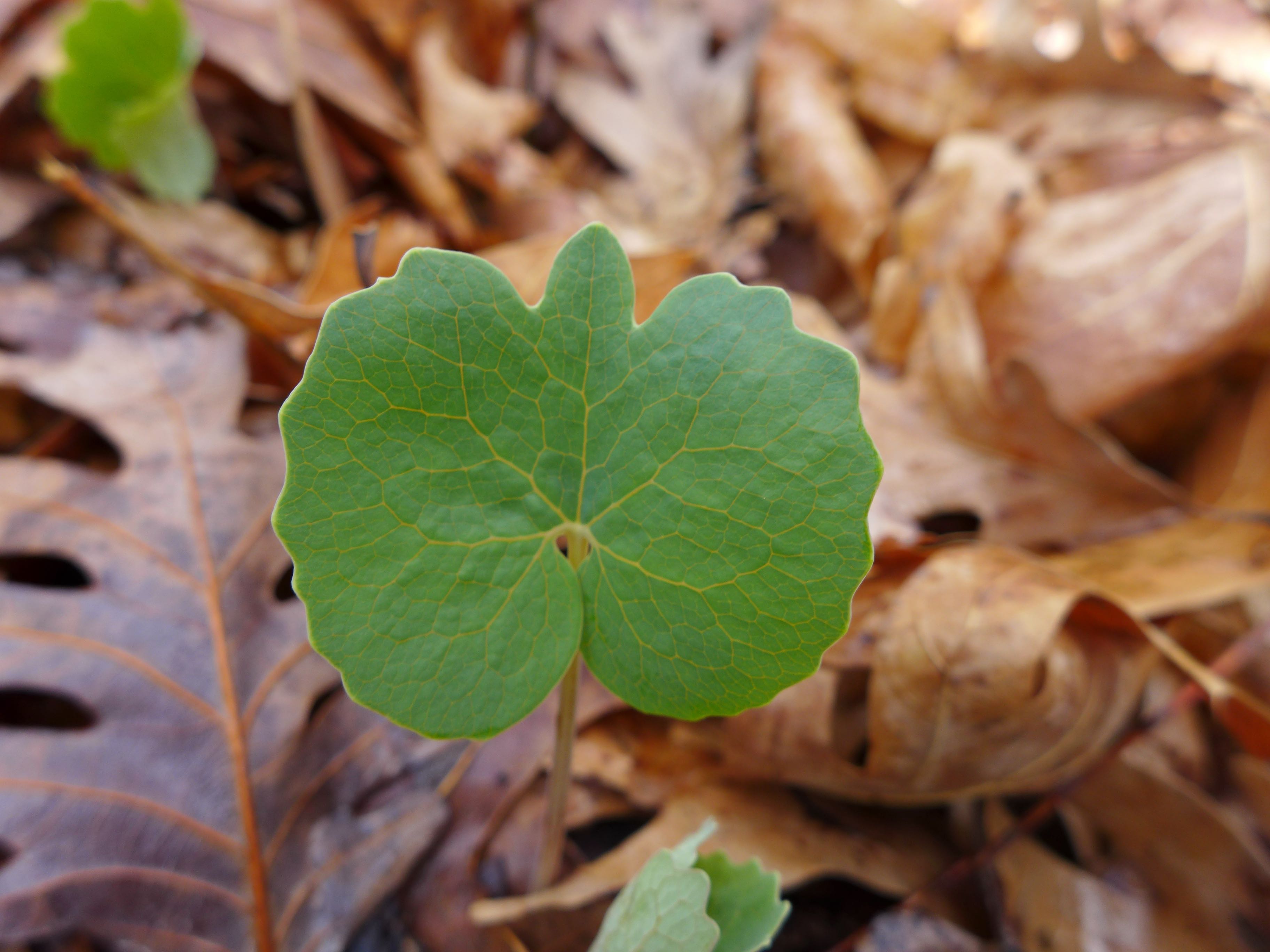
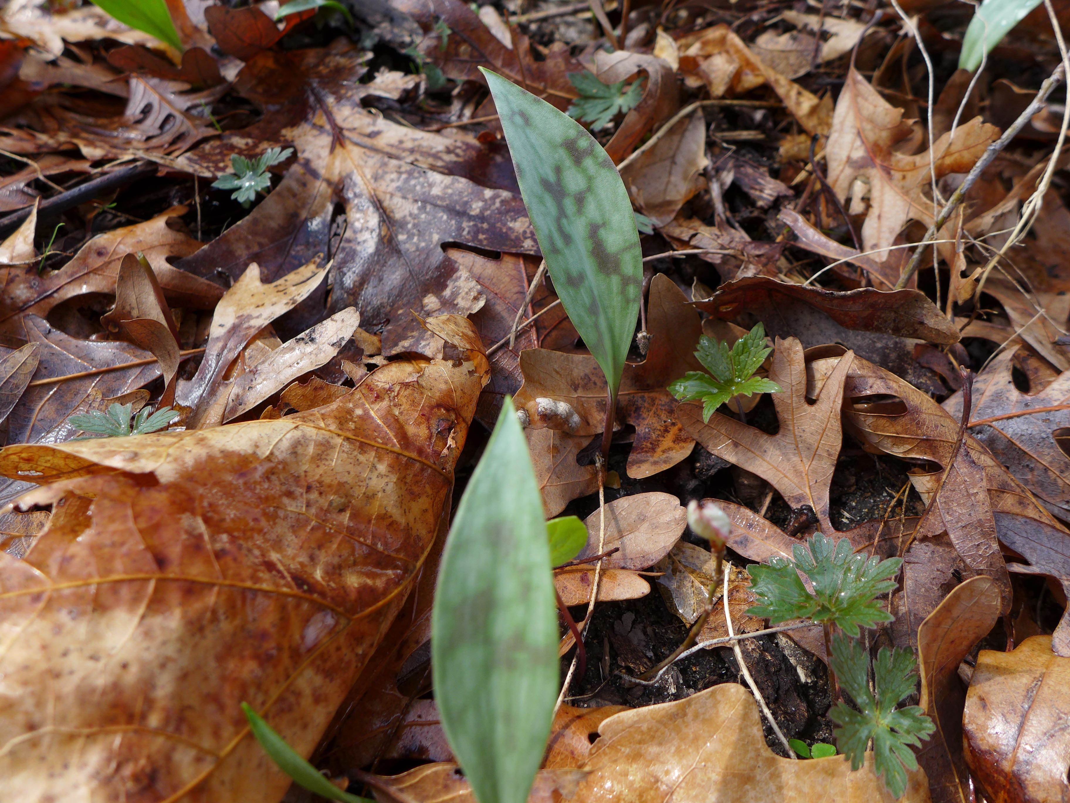
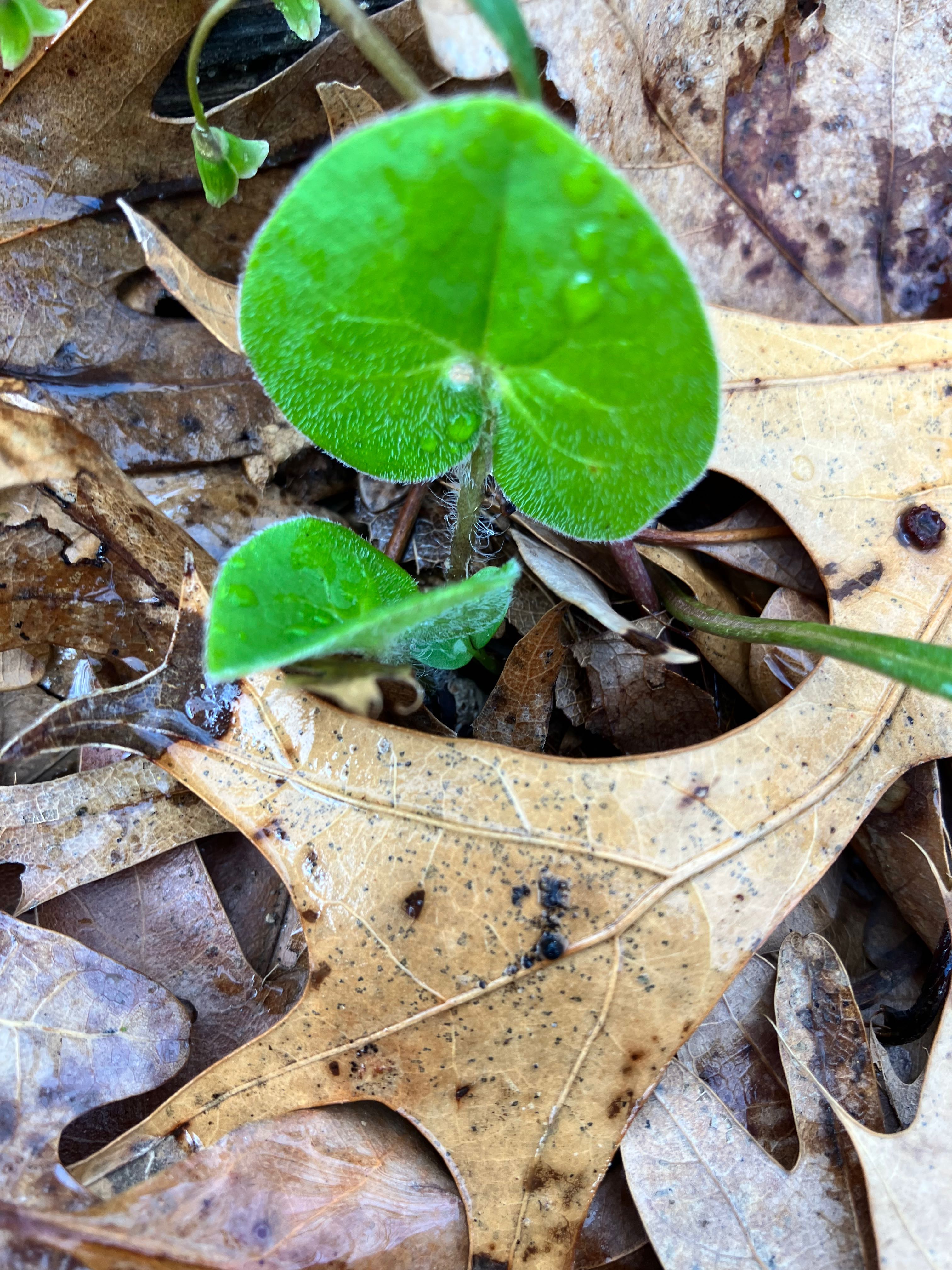
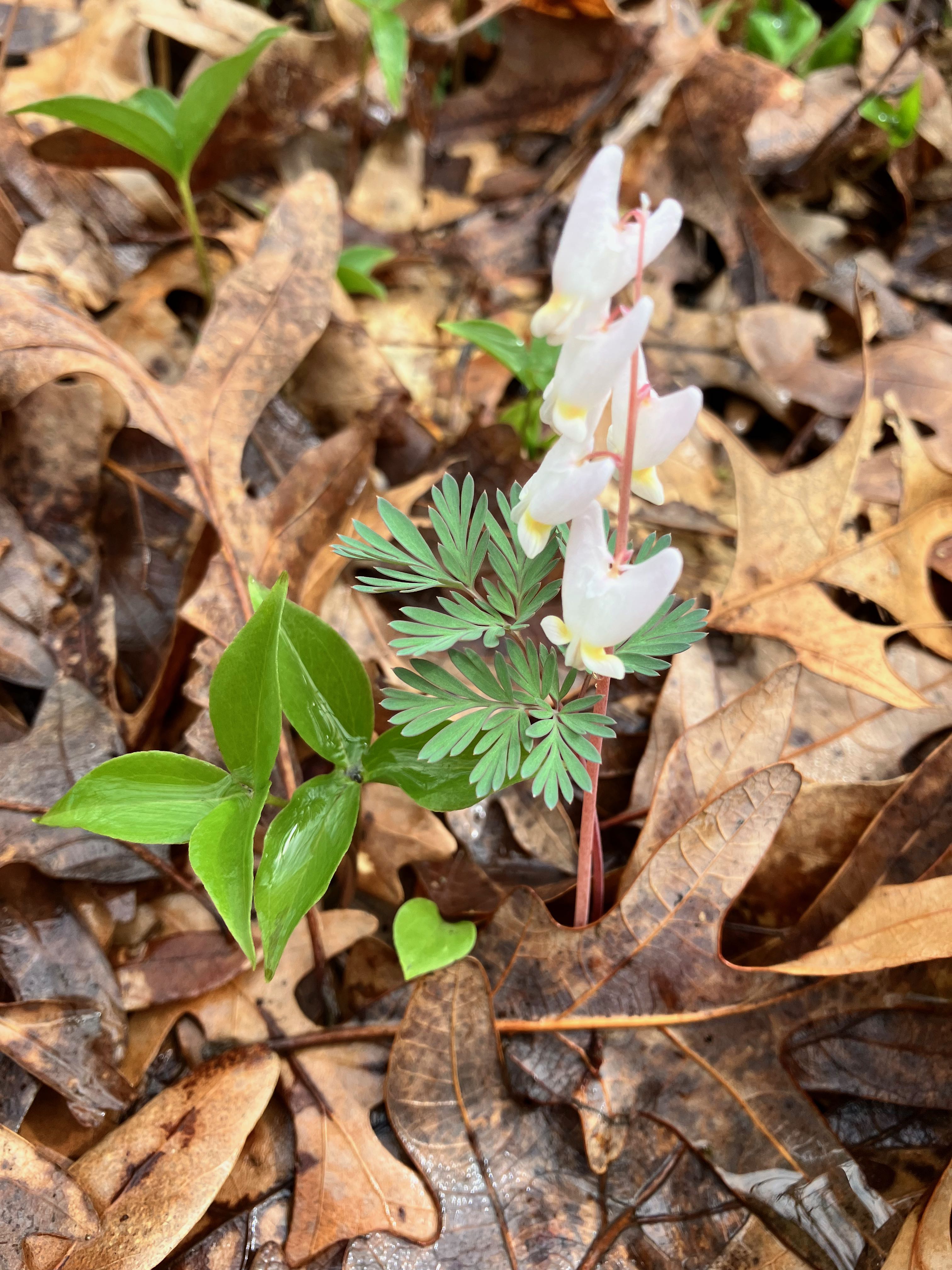
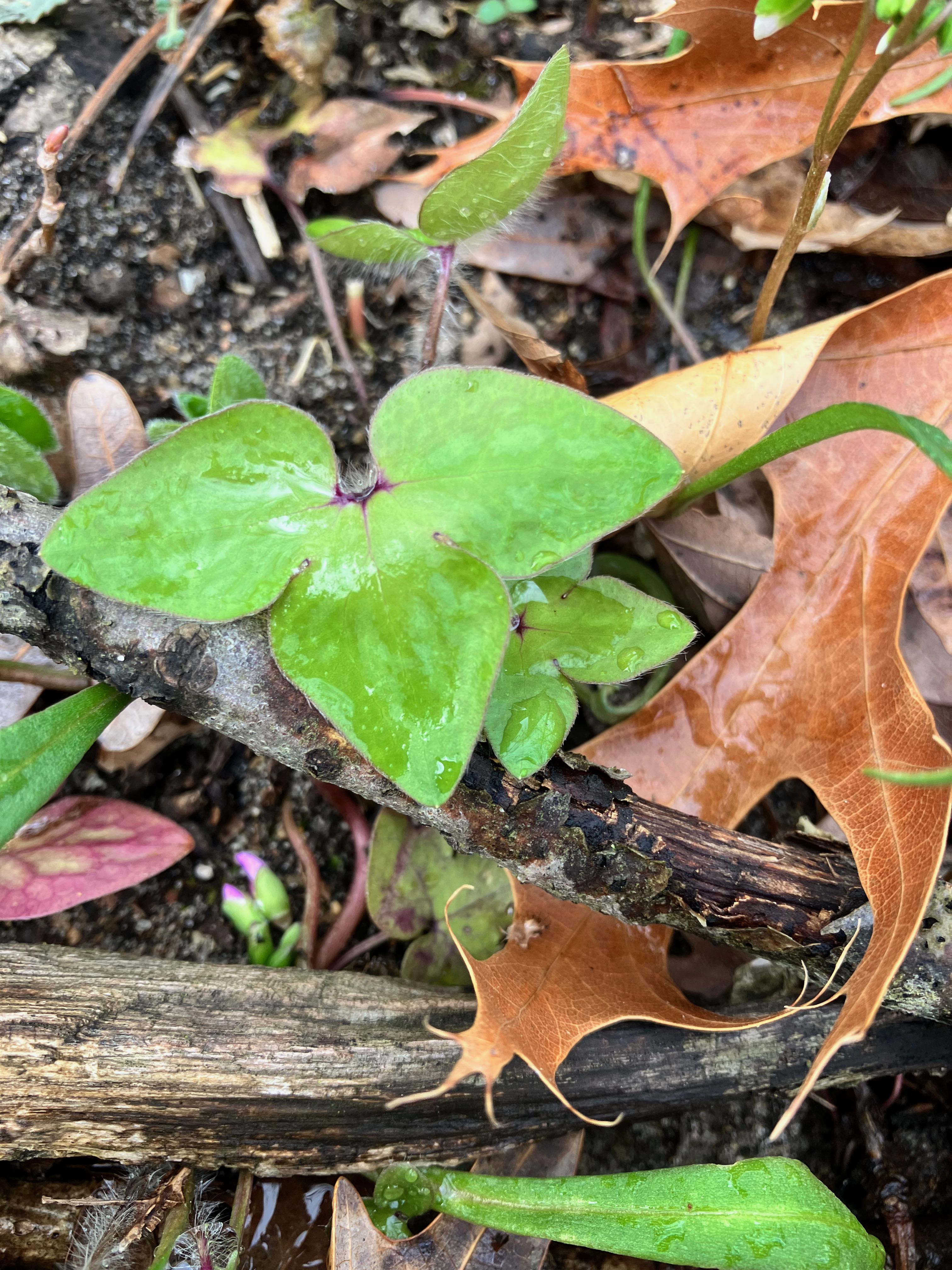
upland woodland friends, sprouting from under the oak leaves.
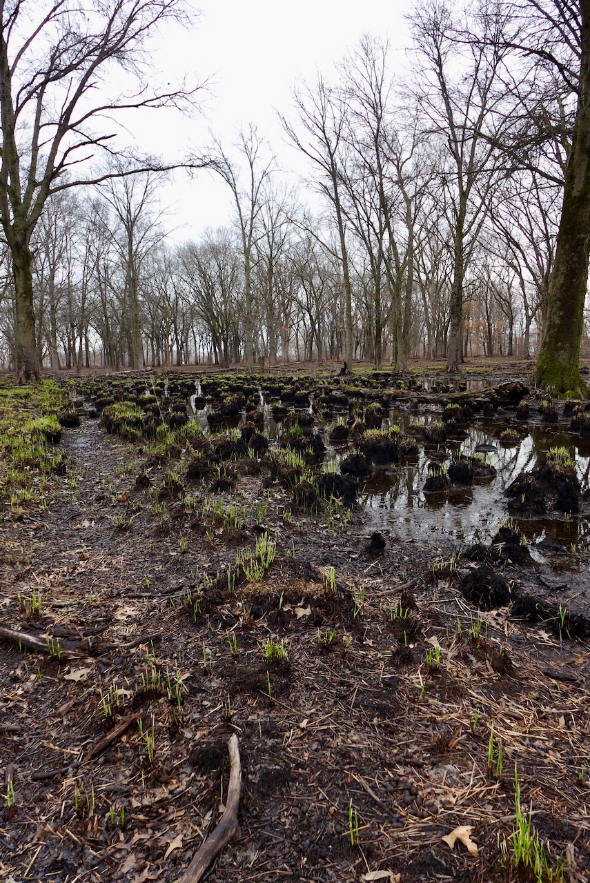
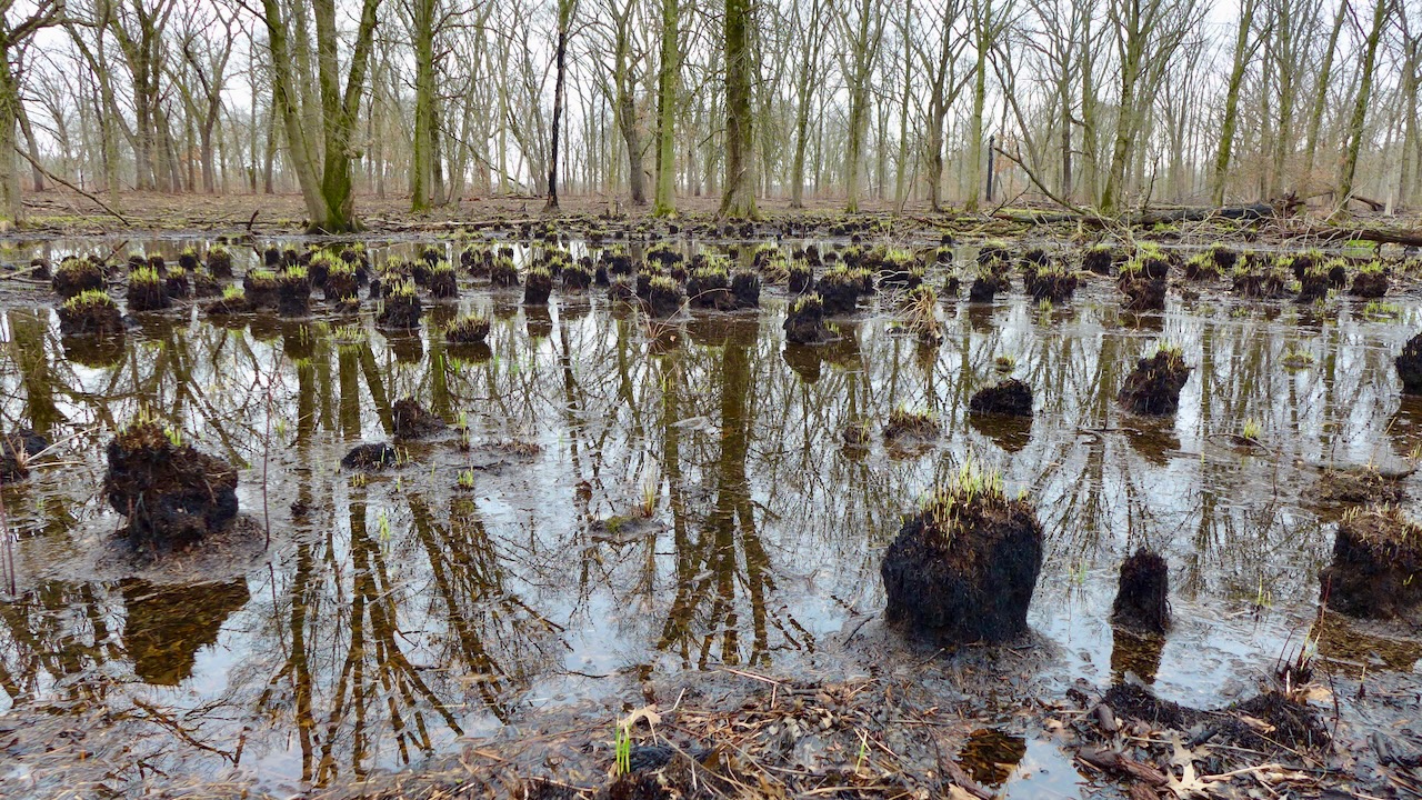
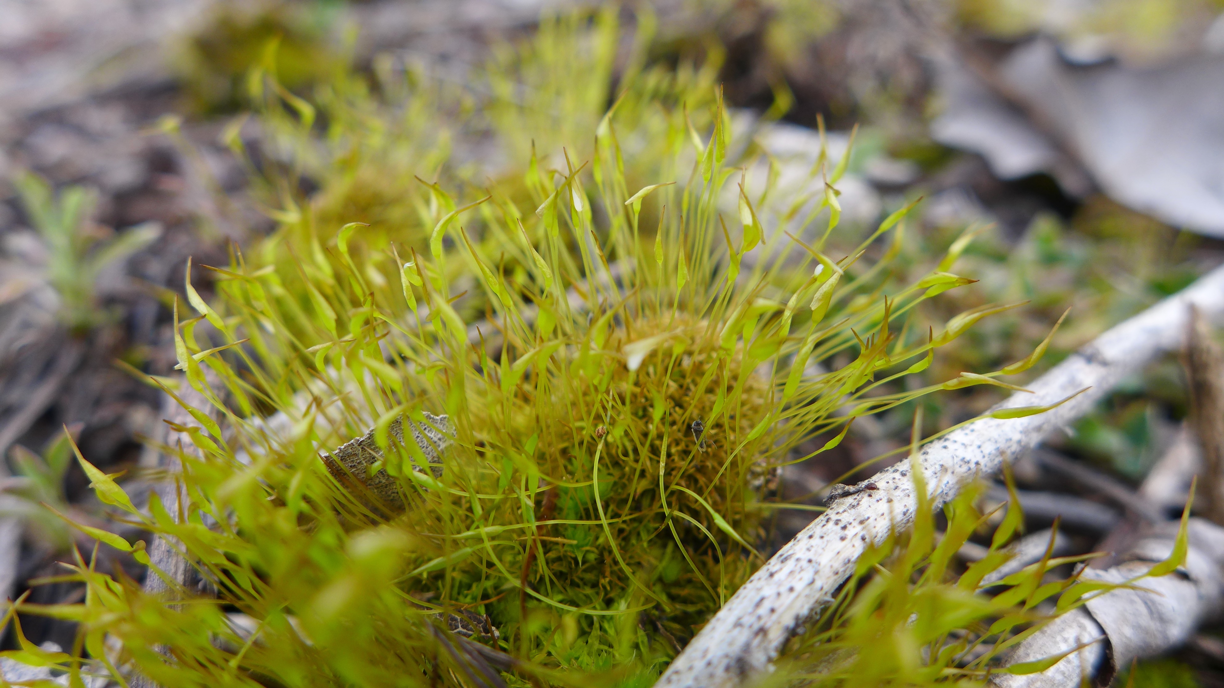
here’s the hummocks that enable the fen orchid
this little wetland is on sandy soil in a swale among the aspens.
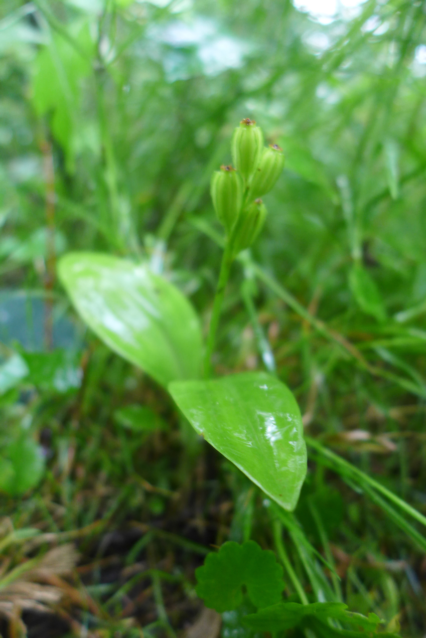
a younger grove is undergoing restoration and in a decade or so, may harbor high quality orchids and sedges like this one.
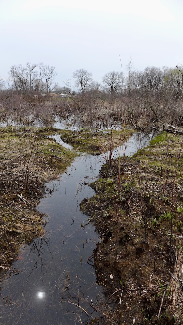
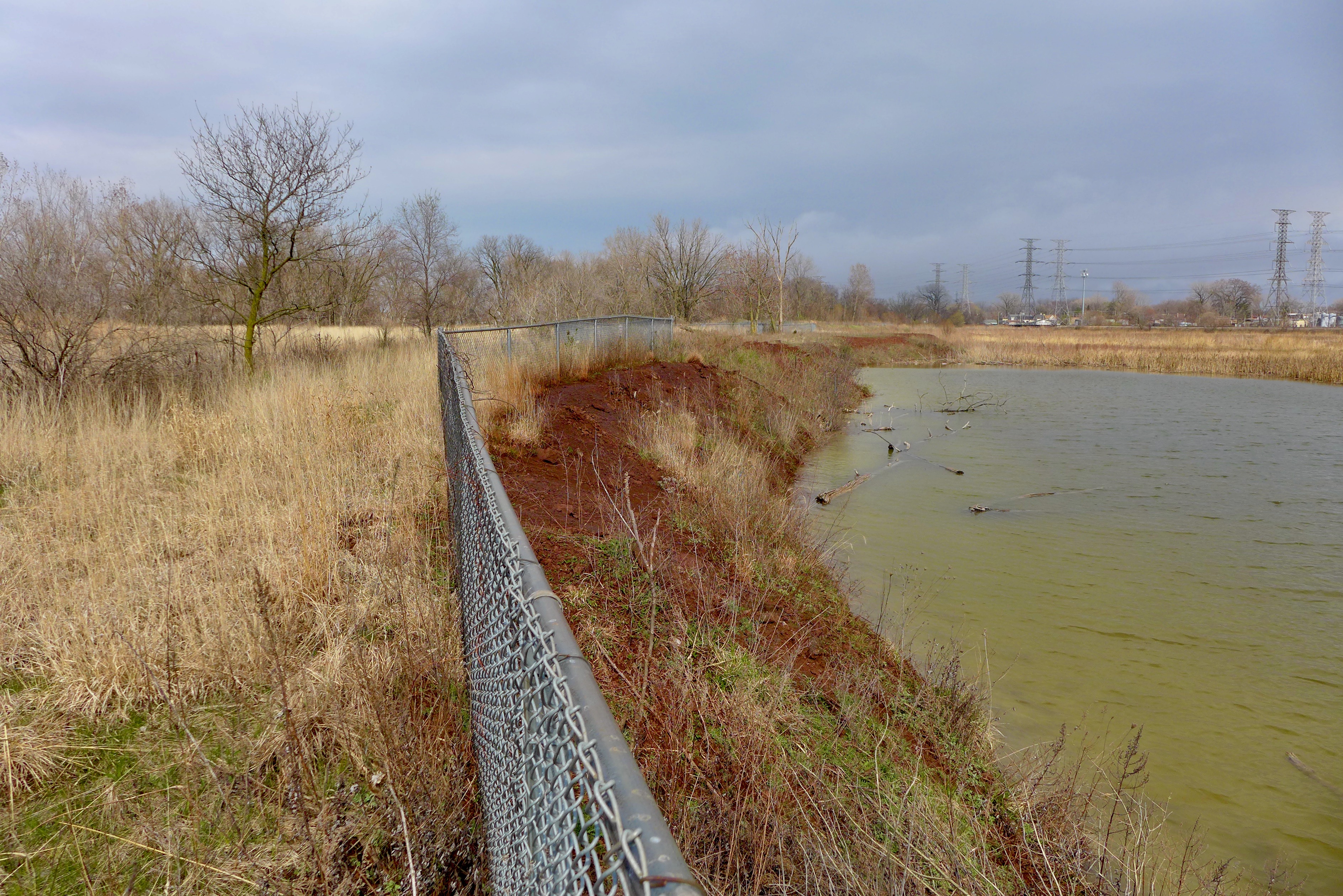
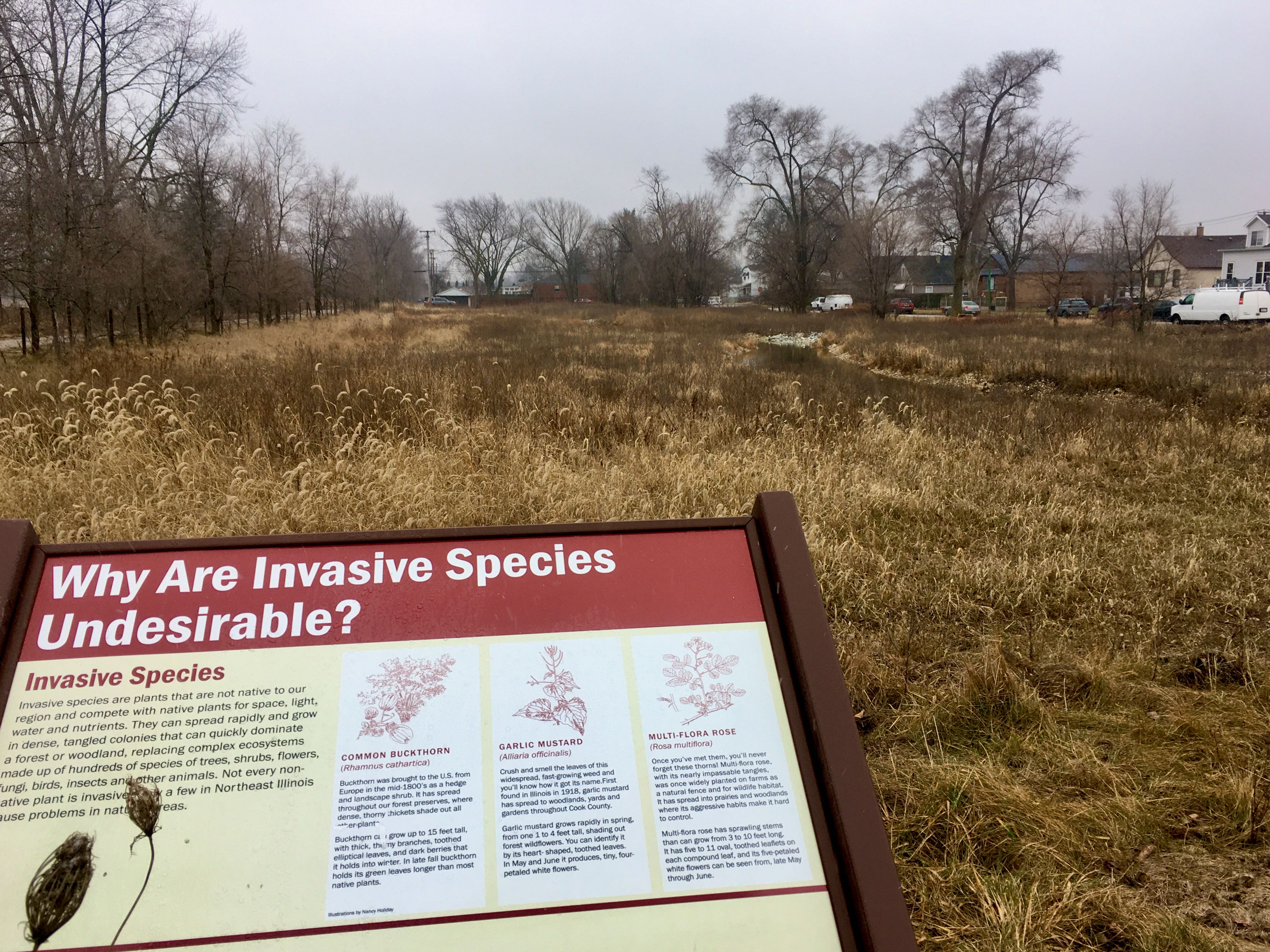
A boat launch at Wolf Lake and a hydrological connection to Powderhorn Lake are new initiatives by the Forest Preserves and State Park. The connection between these bodies of water is an important one in reconstituting the wetland complex that has characterized the Calumet Crescent in the last 10,000 years.
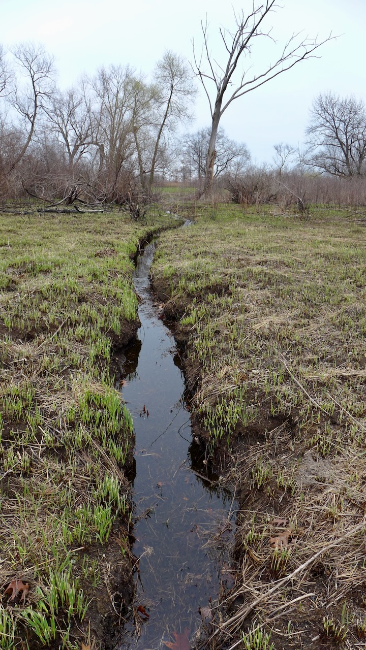
Looking south towards Powderhorn, this new naturalized channel was constructed in an empty, perennially flooded lot. This green infrastructure is beneficial to the surrounding human community (decreasing local flooding) and connecting the animal communities.

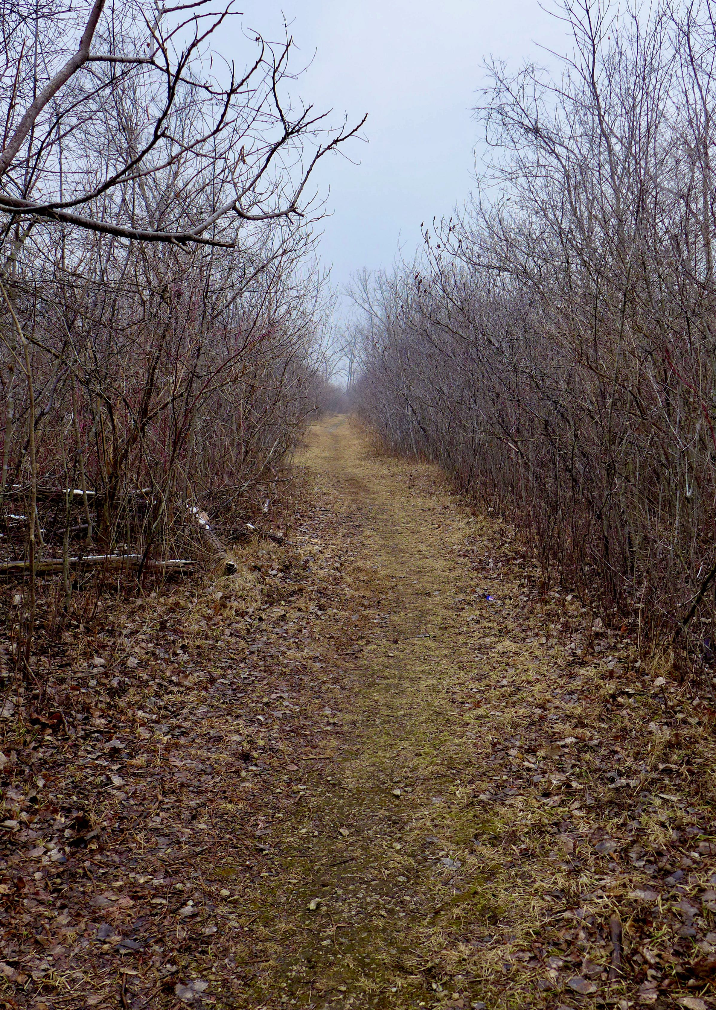
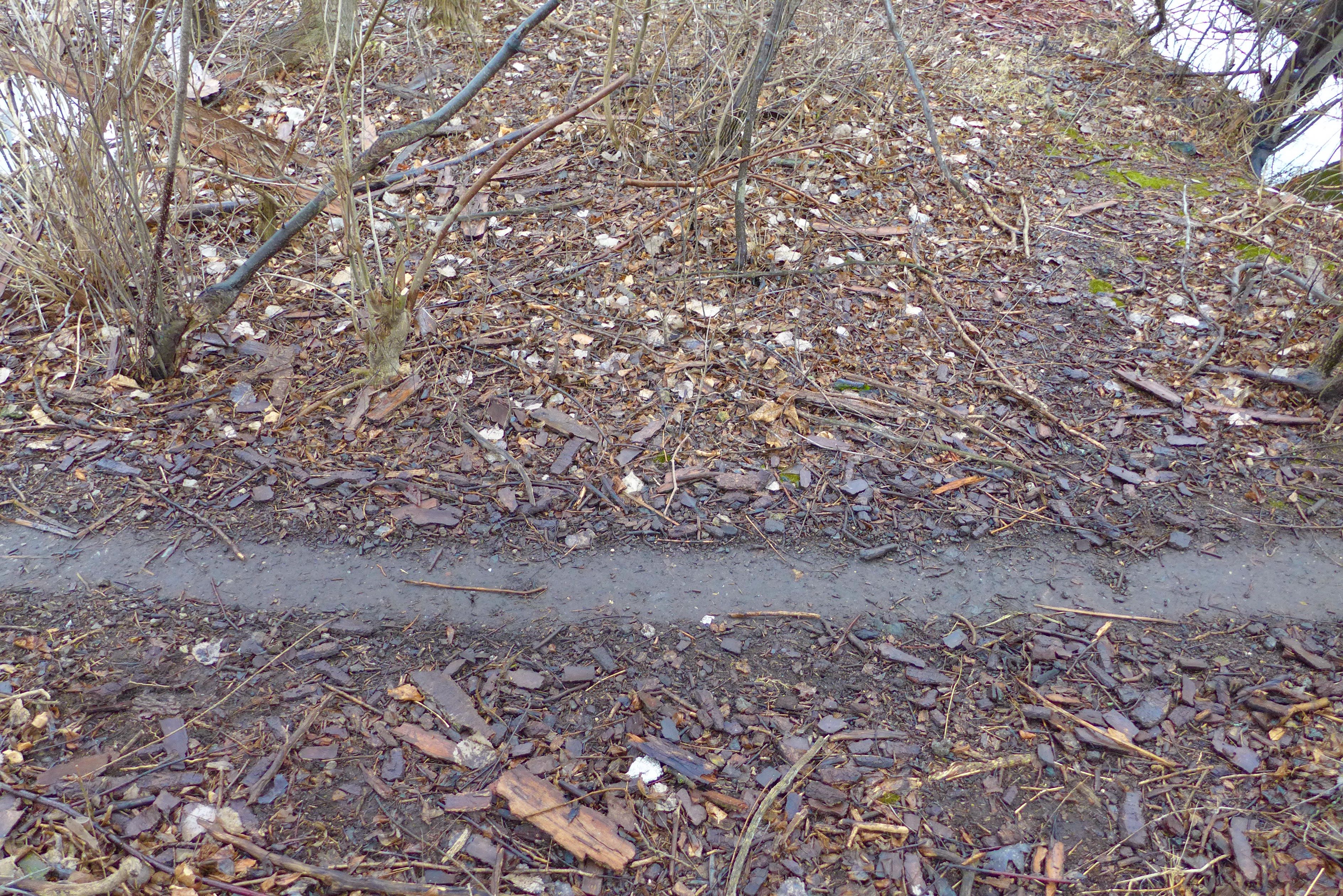
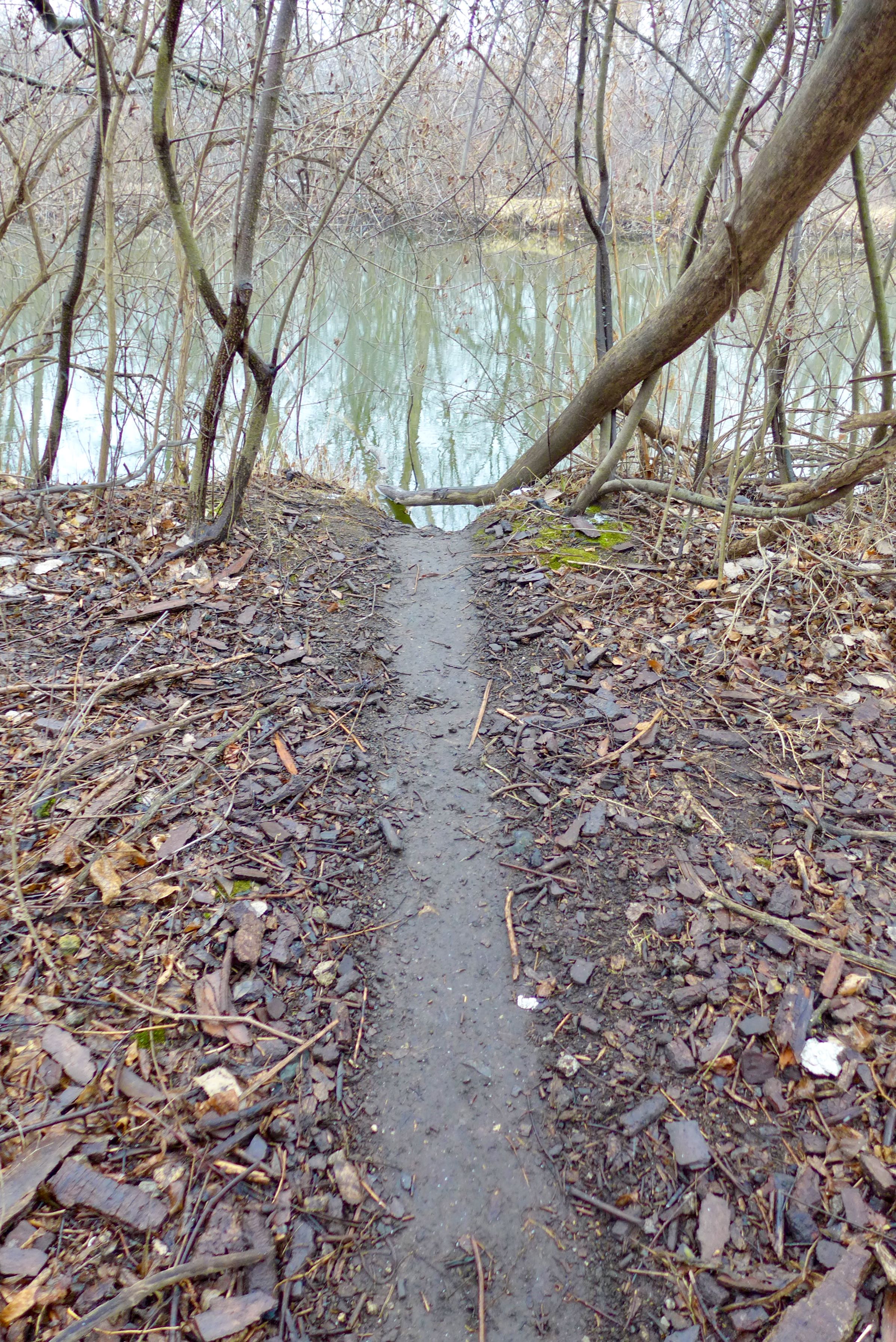
Walking north, a buckthorn protected path affords coverage for waterfowl hunters (remember there is a gun club close by and hunting is legal in William Powers State Park) or coyotes, flanked by the transition zones between land and lake.


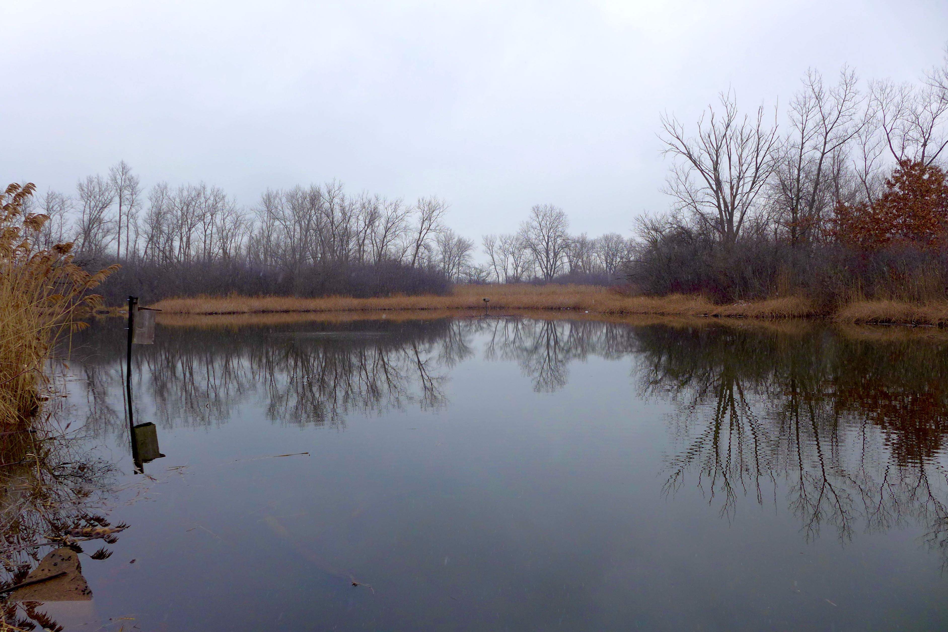
The real action though comes from the beavers. We’ve seen beaver dams around Powderhorn Lake in the past – I wonder if these beaver clans were already connected overland, or if the coming months will be first contact between the populations! I hope someone is using this behavioral, range, and host tree preference data to learn lots about these local ecosystem builders!


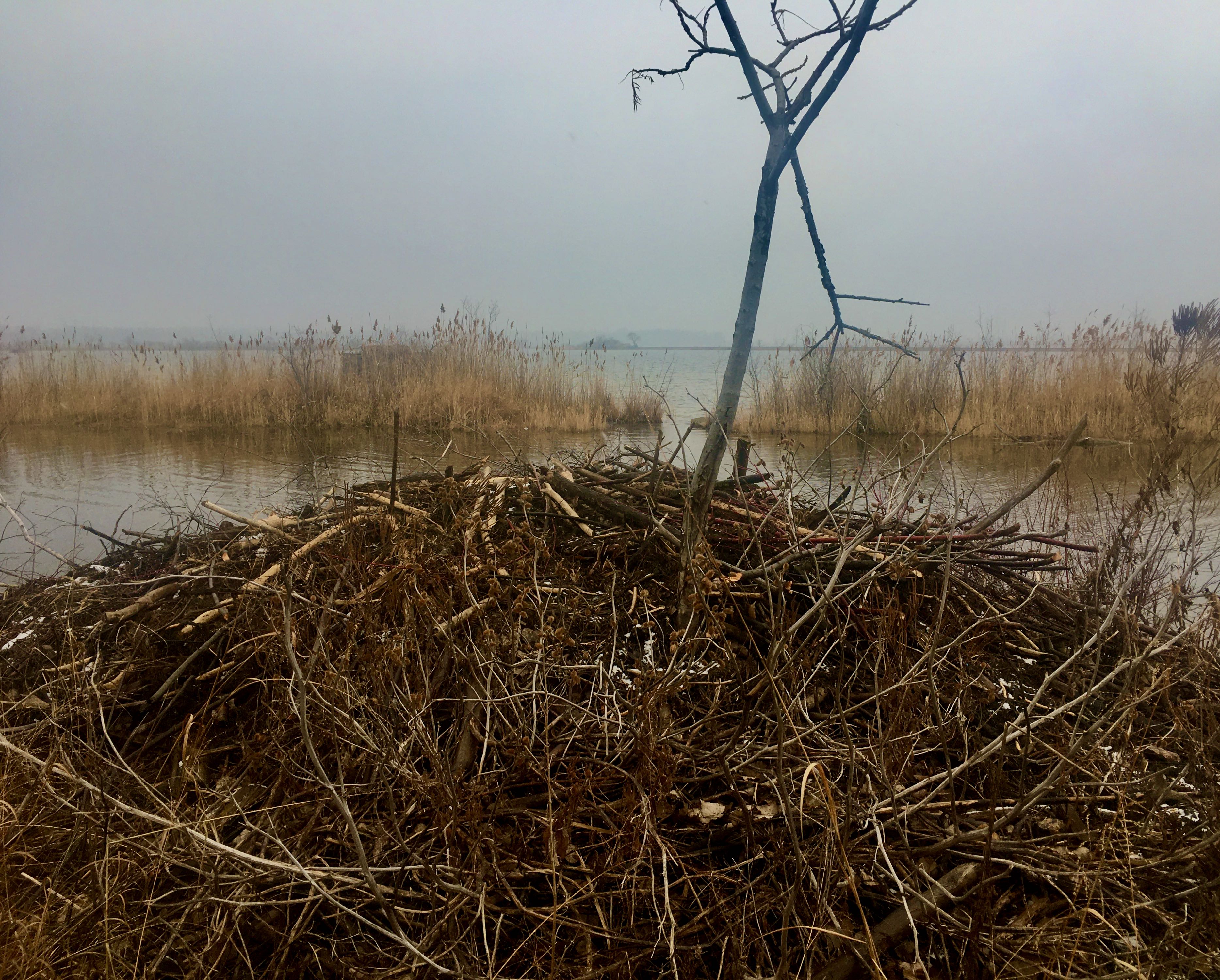
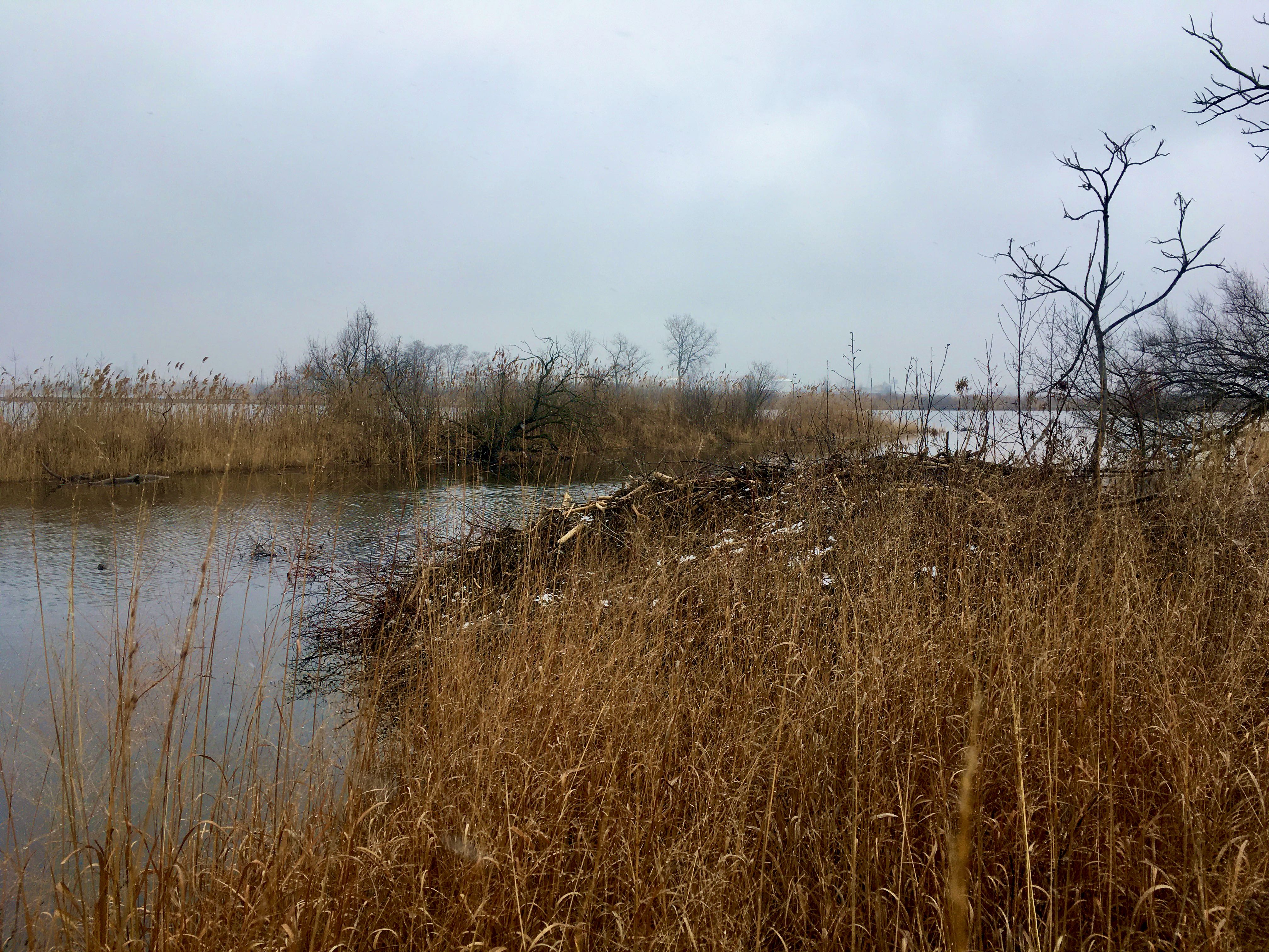
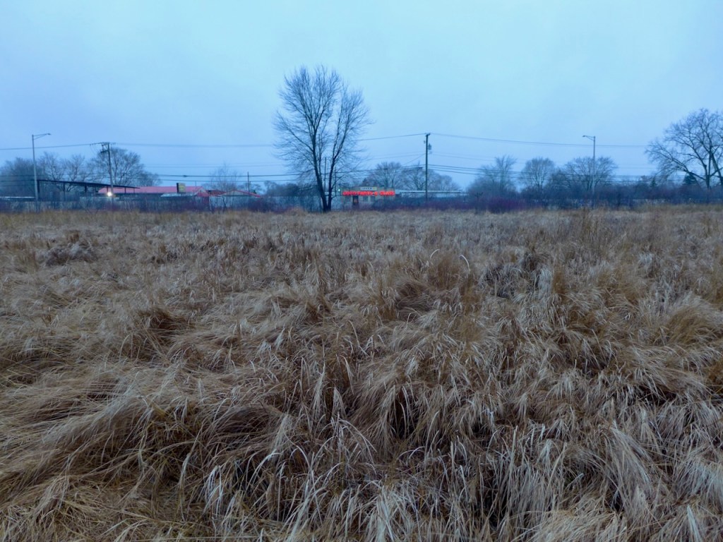
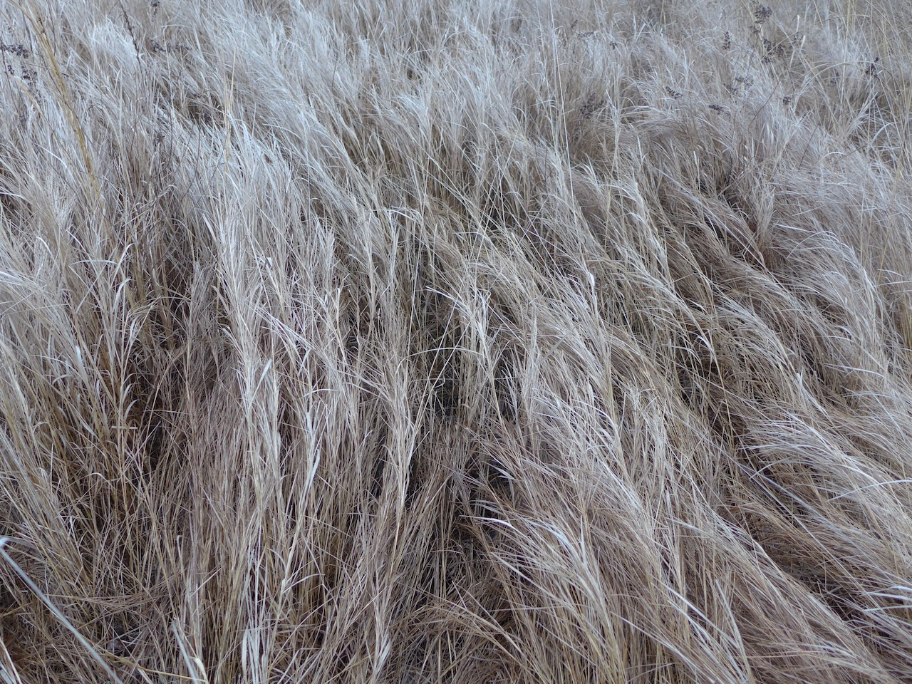
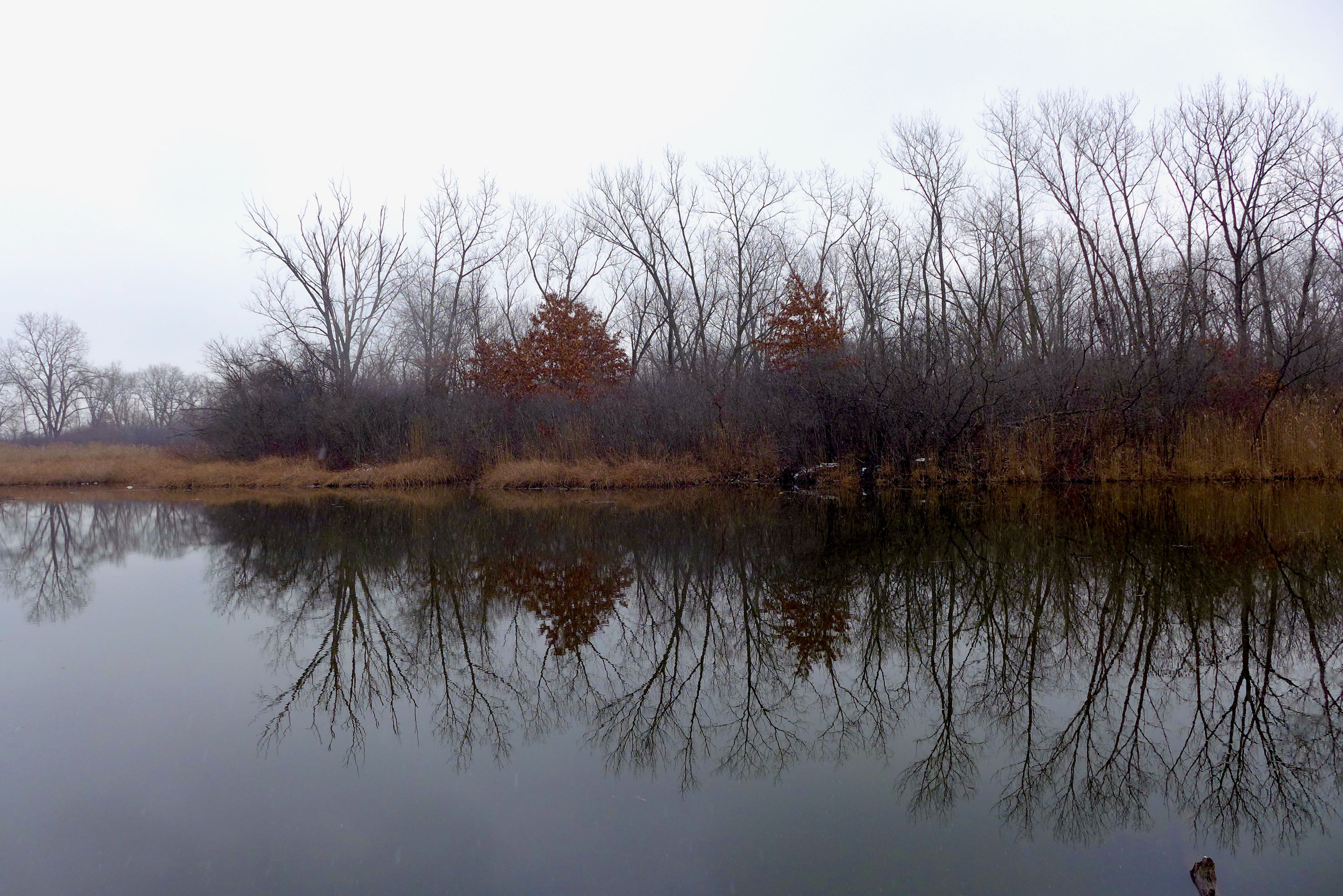
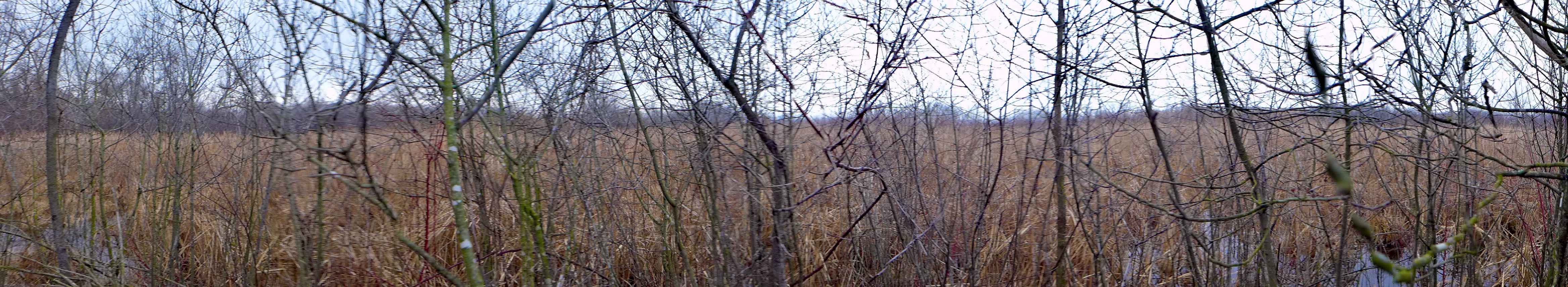
With no one else around, there was a liminal feeling to the masses of Phragmites topped with a cloudy gauze covering the winter afternoon sun.
