The Mars Transect @ Big Marsh, IL

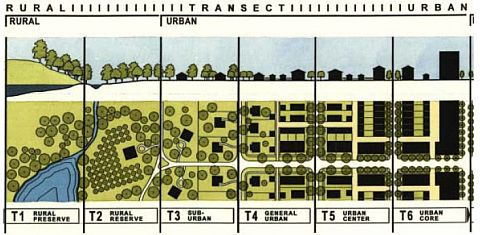
I recently had a conversation with a colleague about what in the heck a transect is. In ecology, it’s just an experimental tool, to help orient you to the landscape. Literally, it’s a line with known geographical coordinates. Gradients of various types are often revealed along a transect, through repeated sampling or experimental plots.

Urbanists like to talk about transects, especially in the context of the typology of the city. The transect articulates transitions between zones, with the idea that there are concentric circles of economic activities as you move out from the central city, from dense urban core, to sparse rural farmhouses.

Anyway, at Big Marsh, we are using the transect on Mars to look at how vegetation and soil characteristics vary along this transect, and over time. Part of our slow science research.

But what does this actually look like? It’s trivial for me to imagine, but not so for others. Here’s a collection of images I found that may help to visualize it.

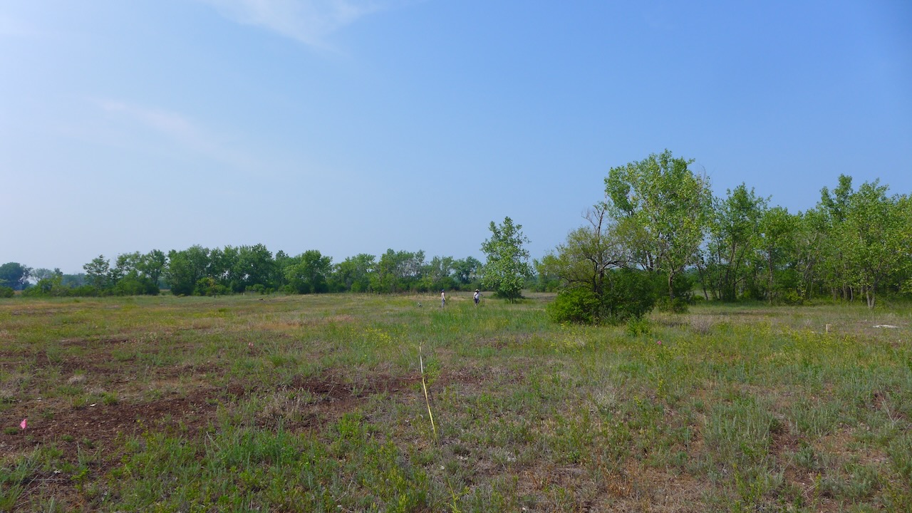
The transect goes from northish to southish on the east side of Big Marsh Park, across what’s affectionately called Mars, because of the unearthly iron-red slag. The transect is about 600m.

We set up a plot every 25m and record plant species and coverage twice a year. At the paired plots every 50m, there’s an additional plot on the opposite site of the marker, that was cleared of all plant material when plots were set up in 2020.

Paired plots at 350, looking north.

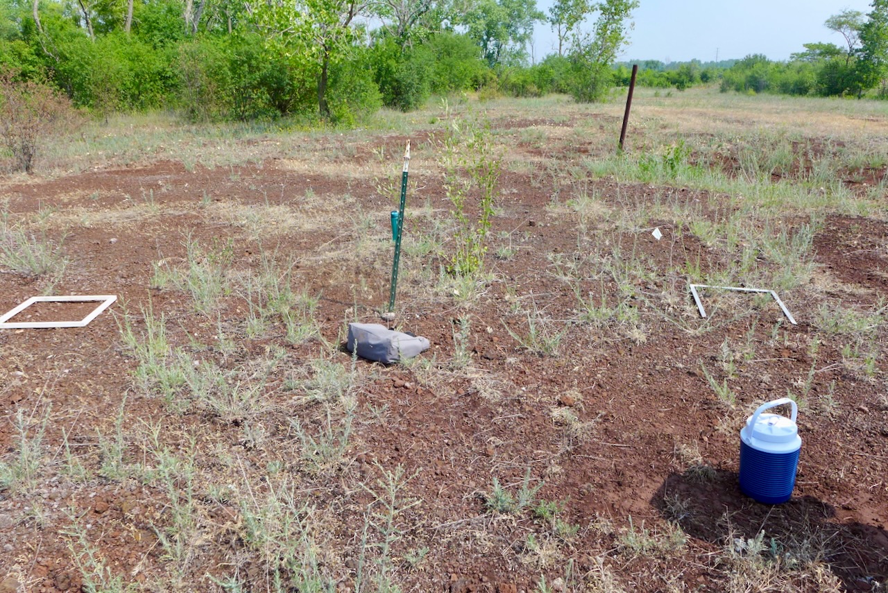
What’s the point of clearing plots? We want to see if there is a trend in the species that are able to persist on “bare ground,” and if there is a predictable order in which species make themselves at home in the plot, or a process called “ecological succession.”

Paired plots at 200m, looking west.
My favorite plot, full of Nostoc, at 350m, looking northwest.

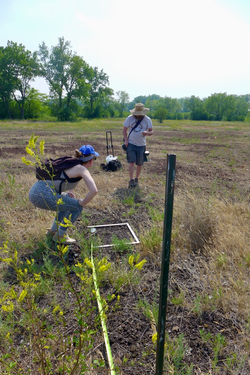
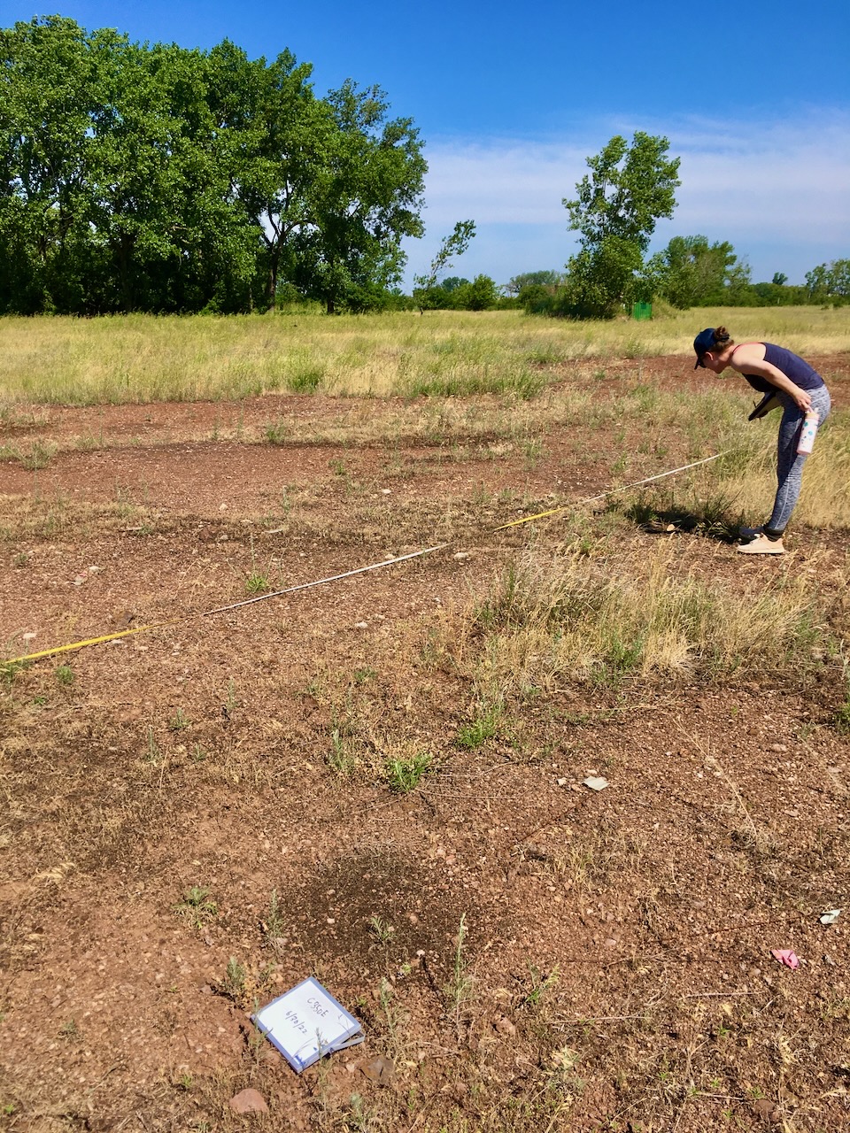
By surveying the plants every year, we will see how community composition changes over time. We’ve collected six years of data, so stay tuned for a publication in the next decade!
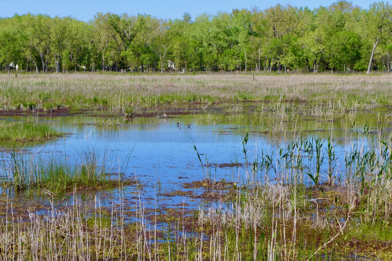
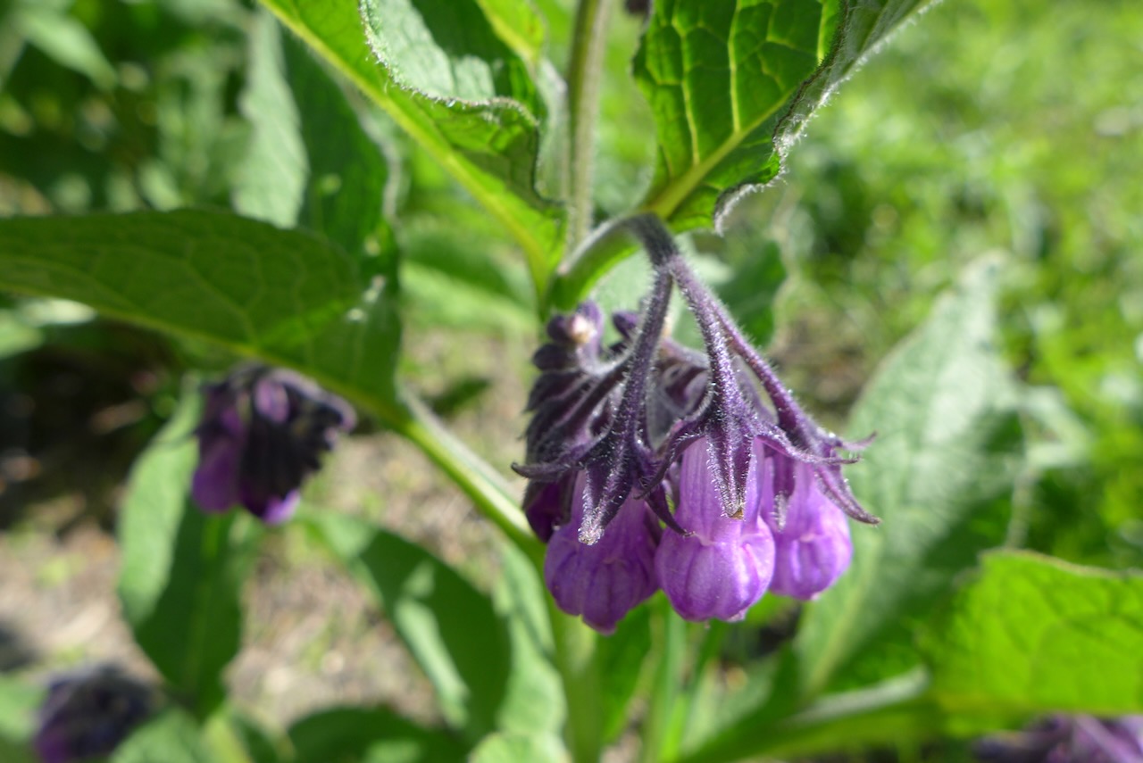
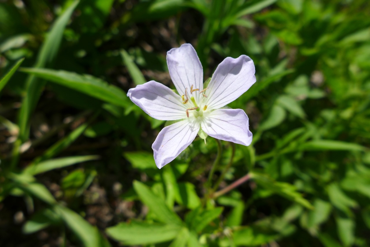
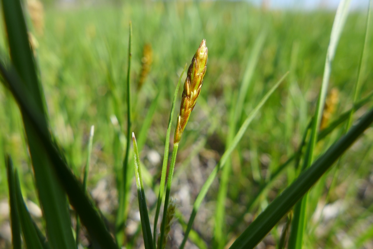
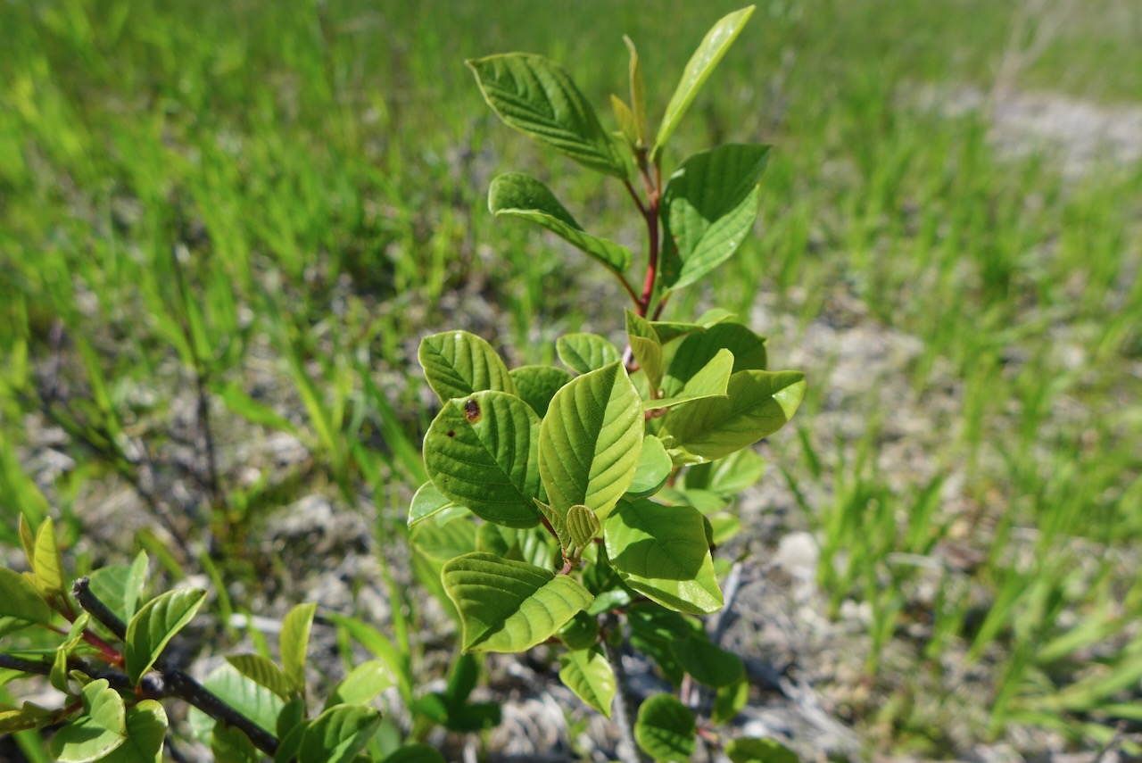
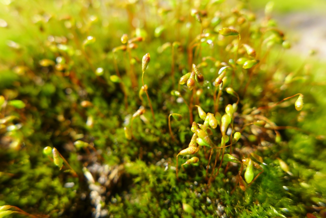
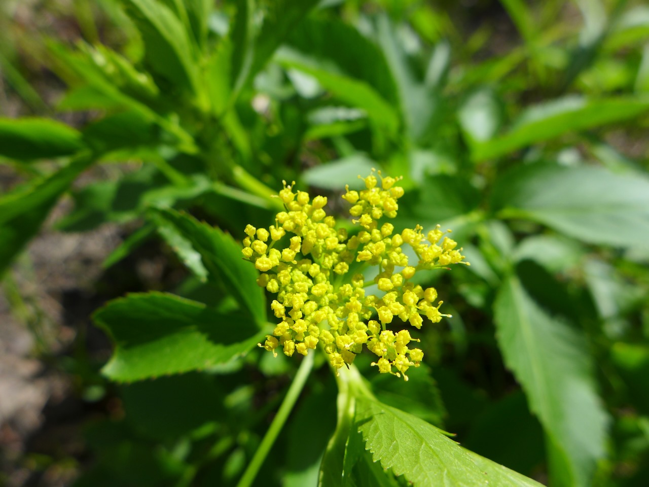
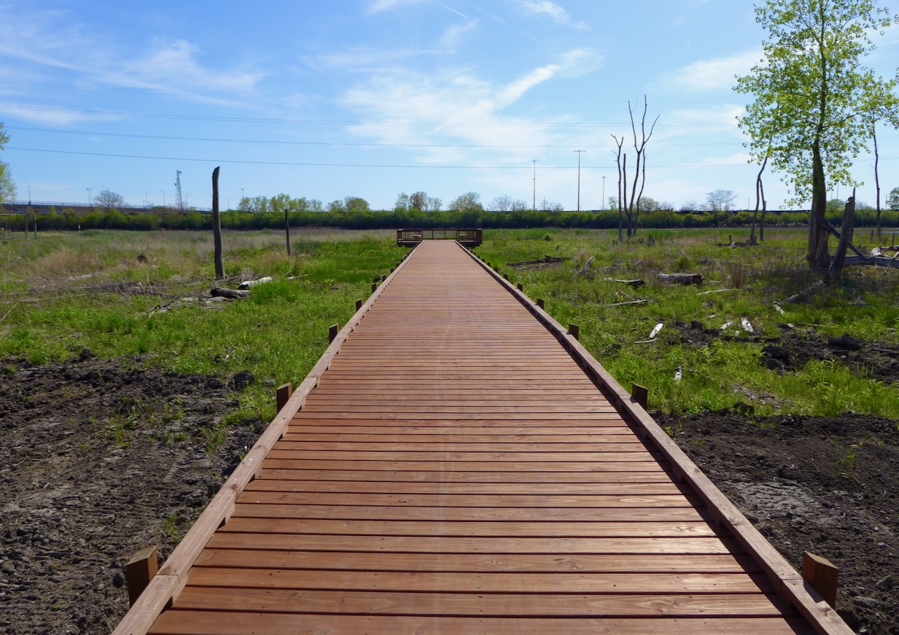
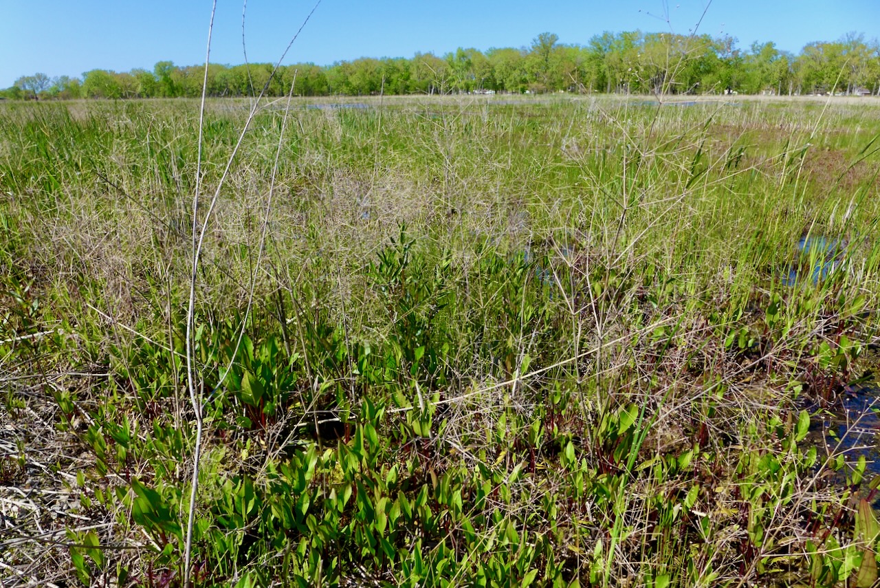
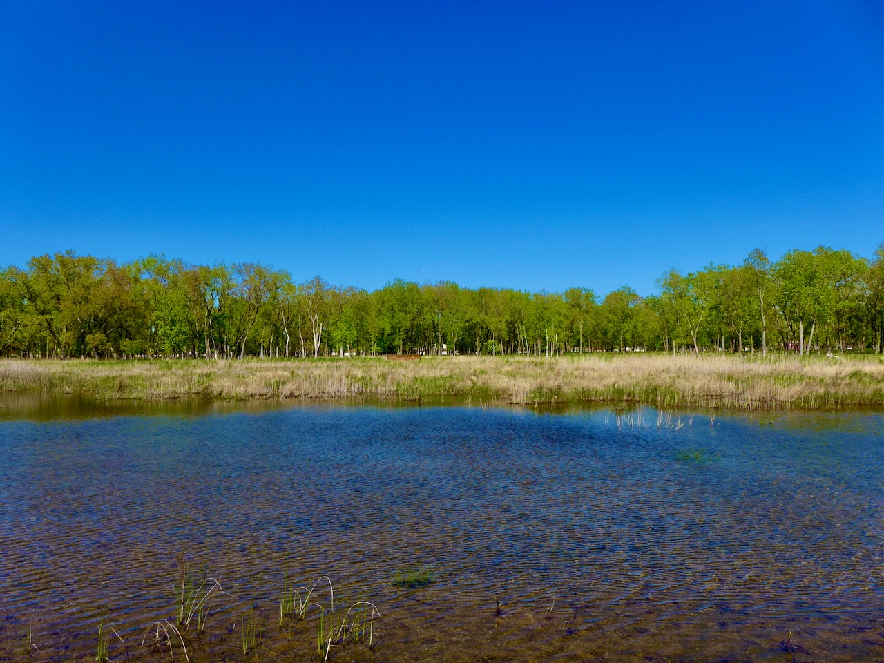
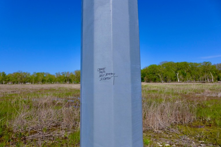
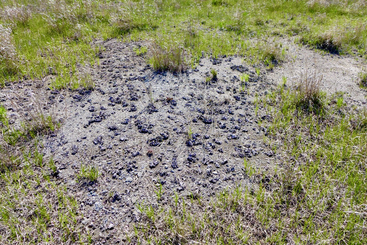
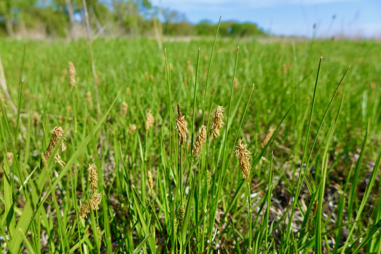
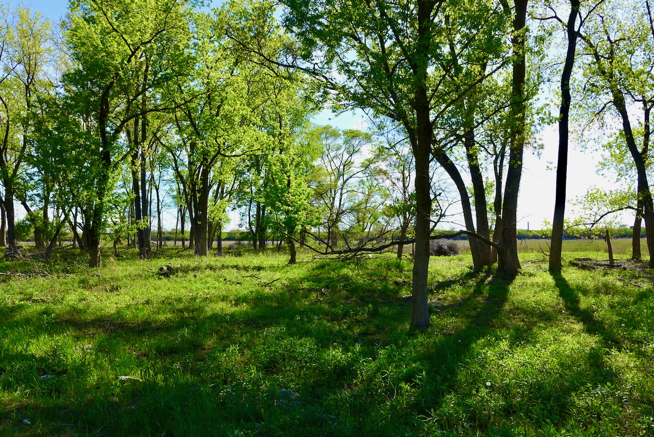
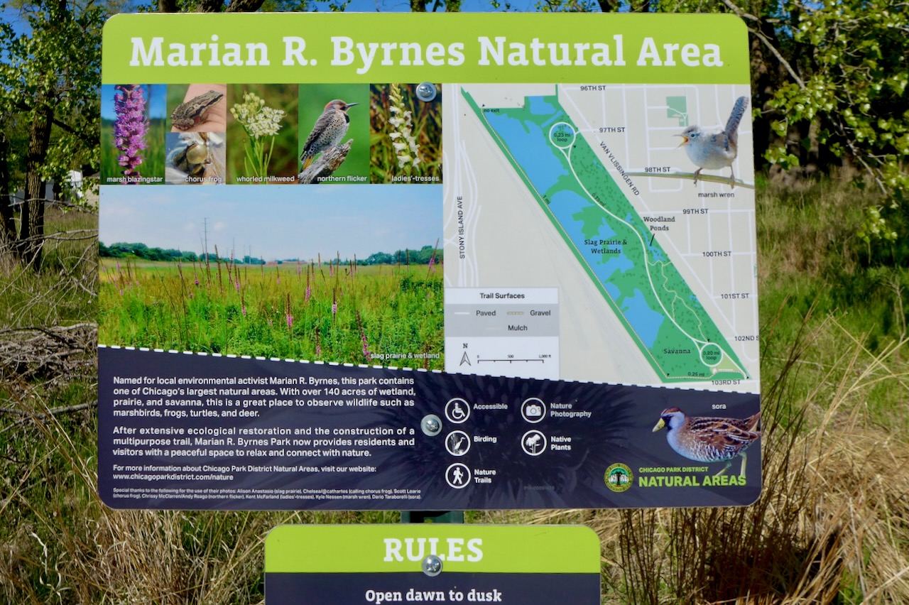
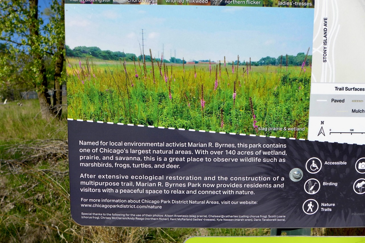
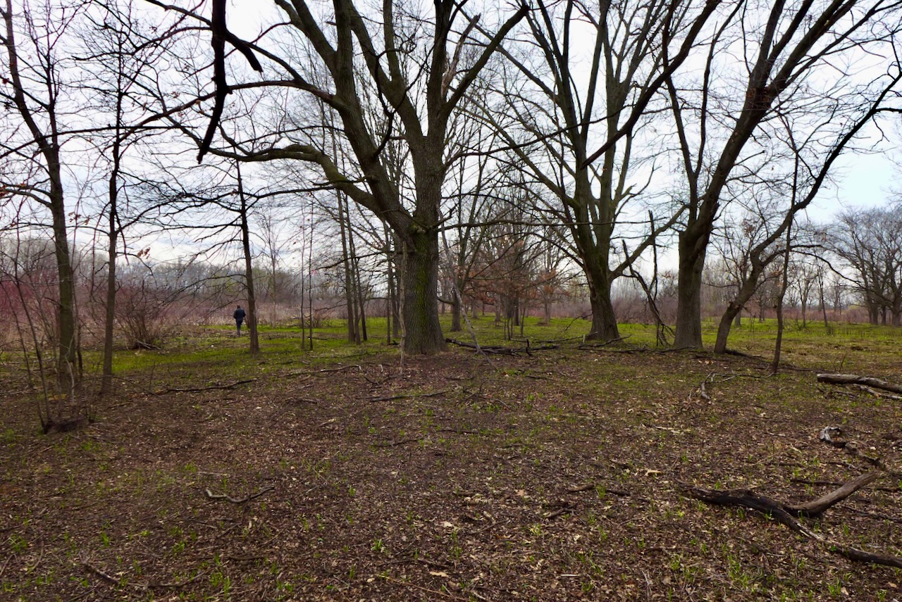
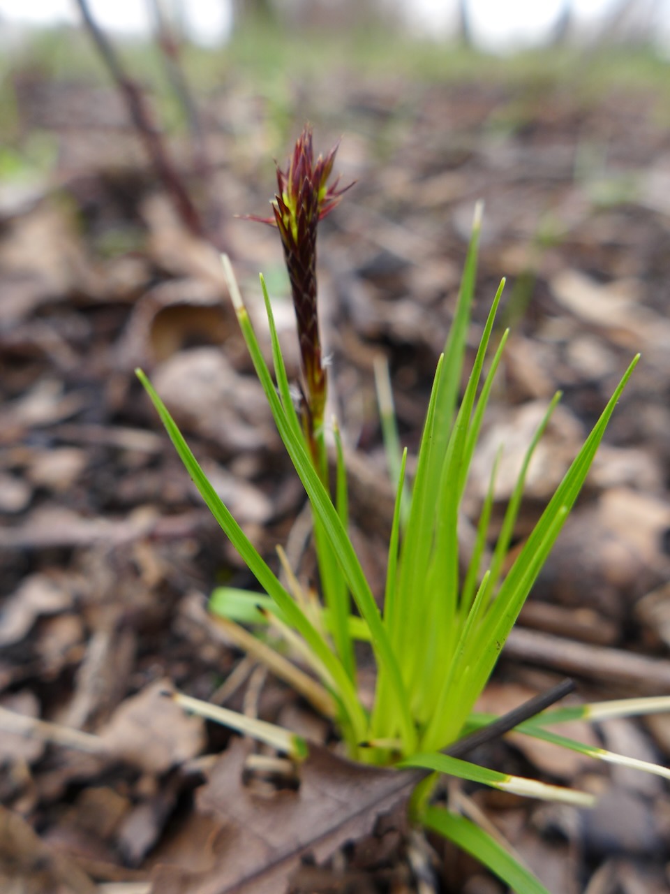
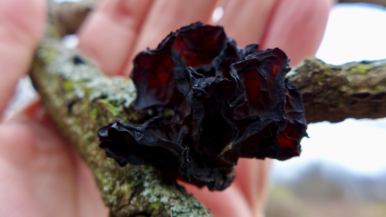
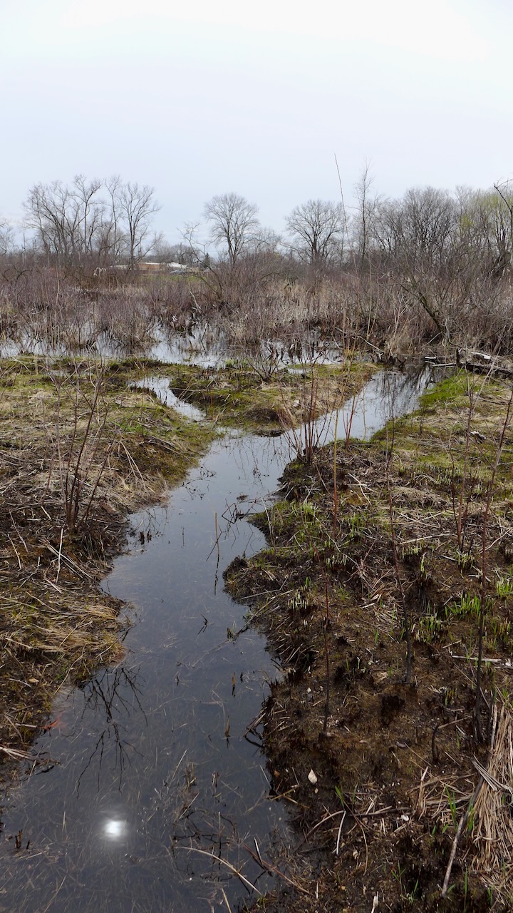
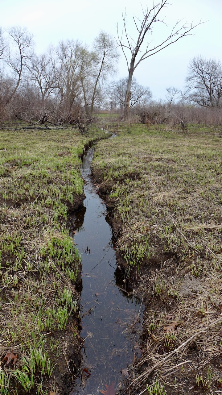
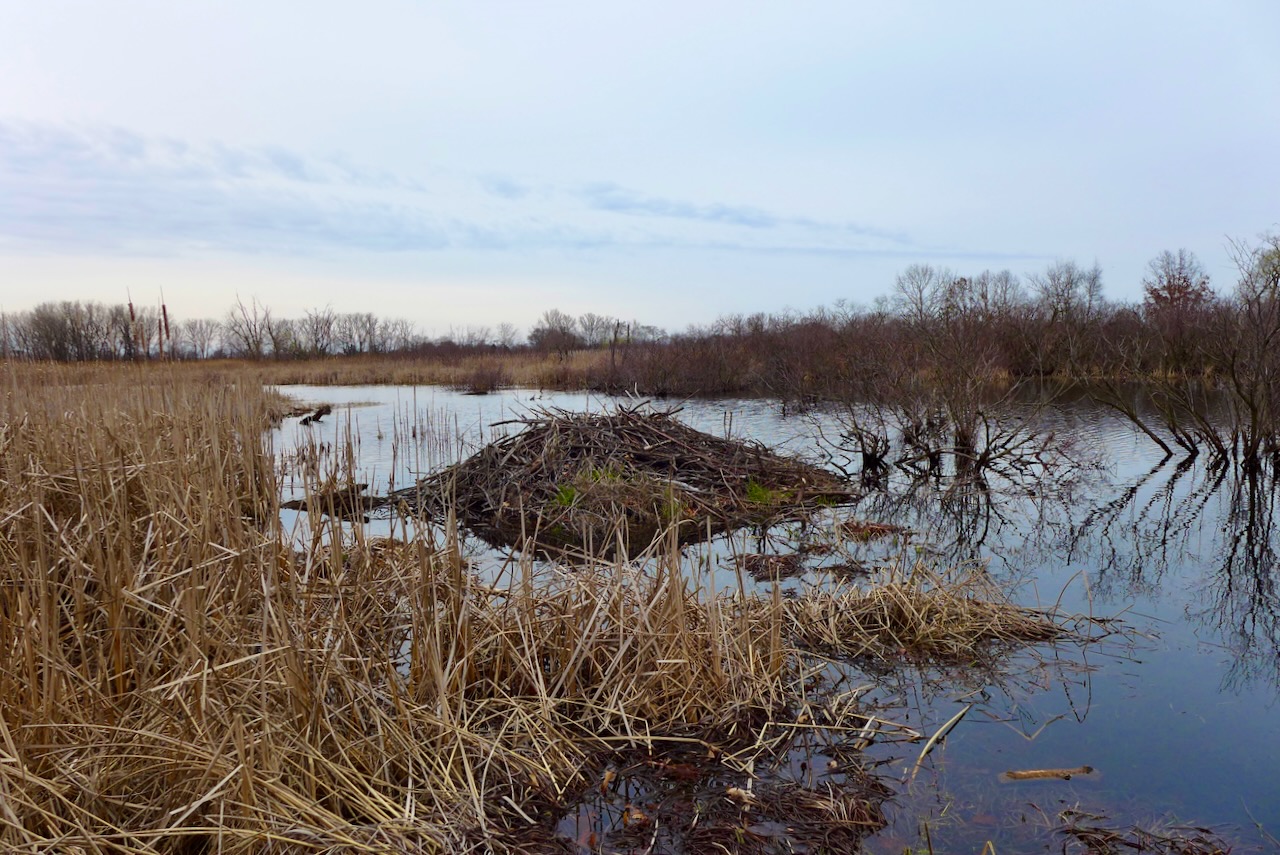
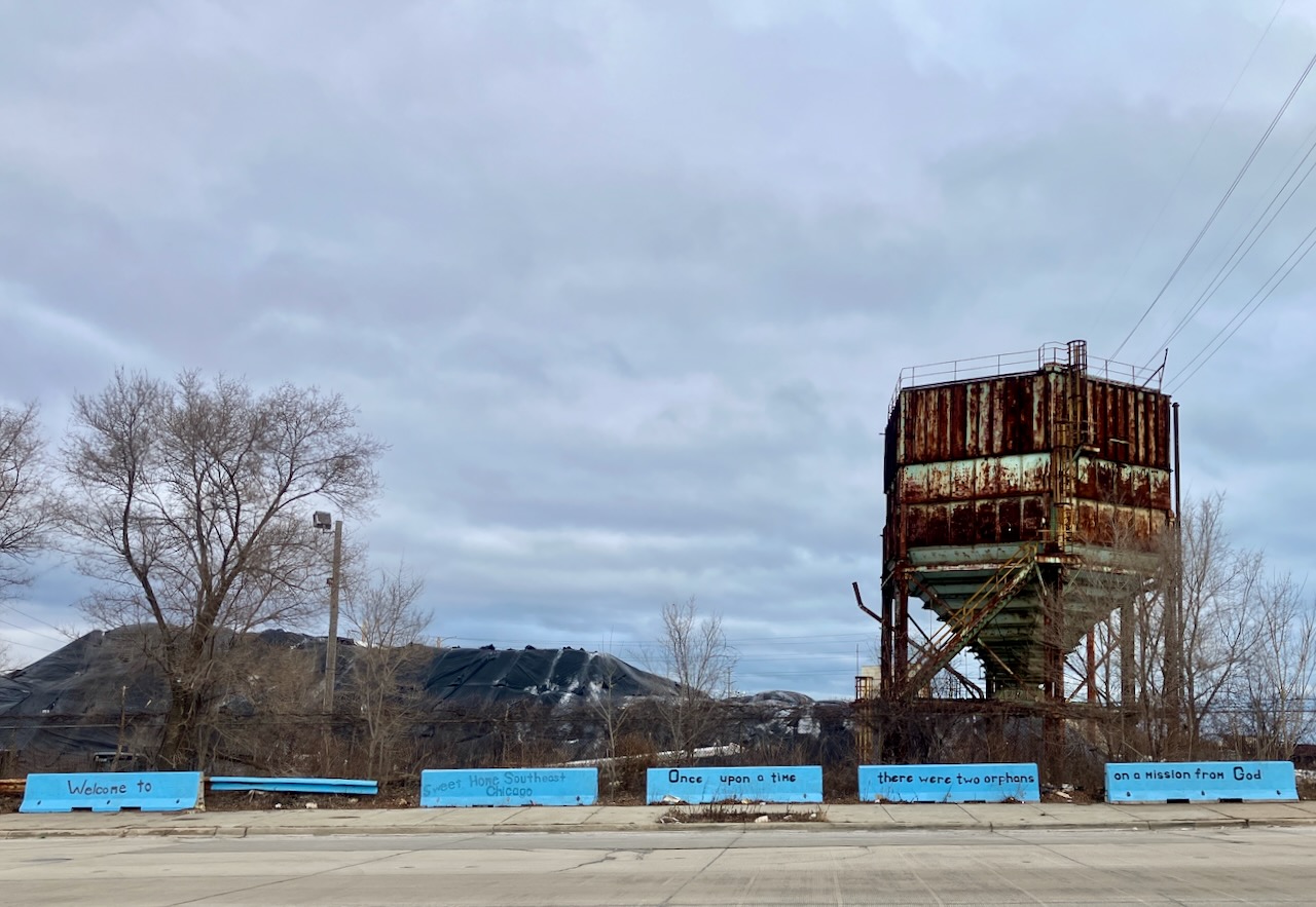
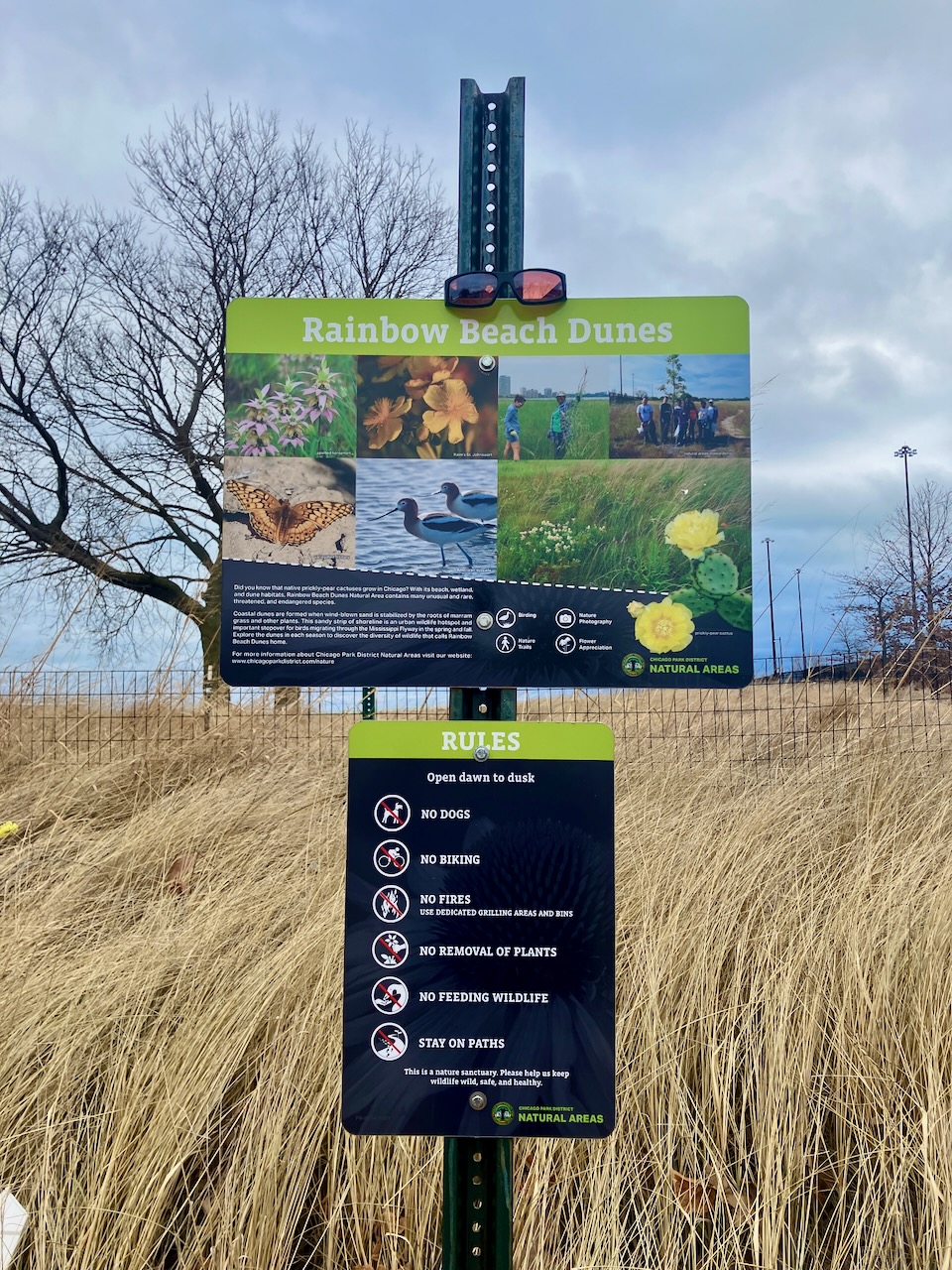
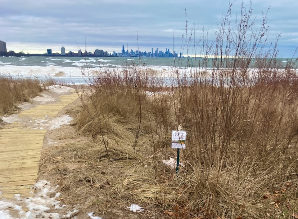
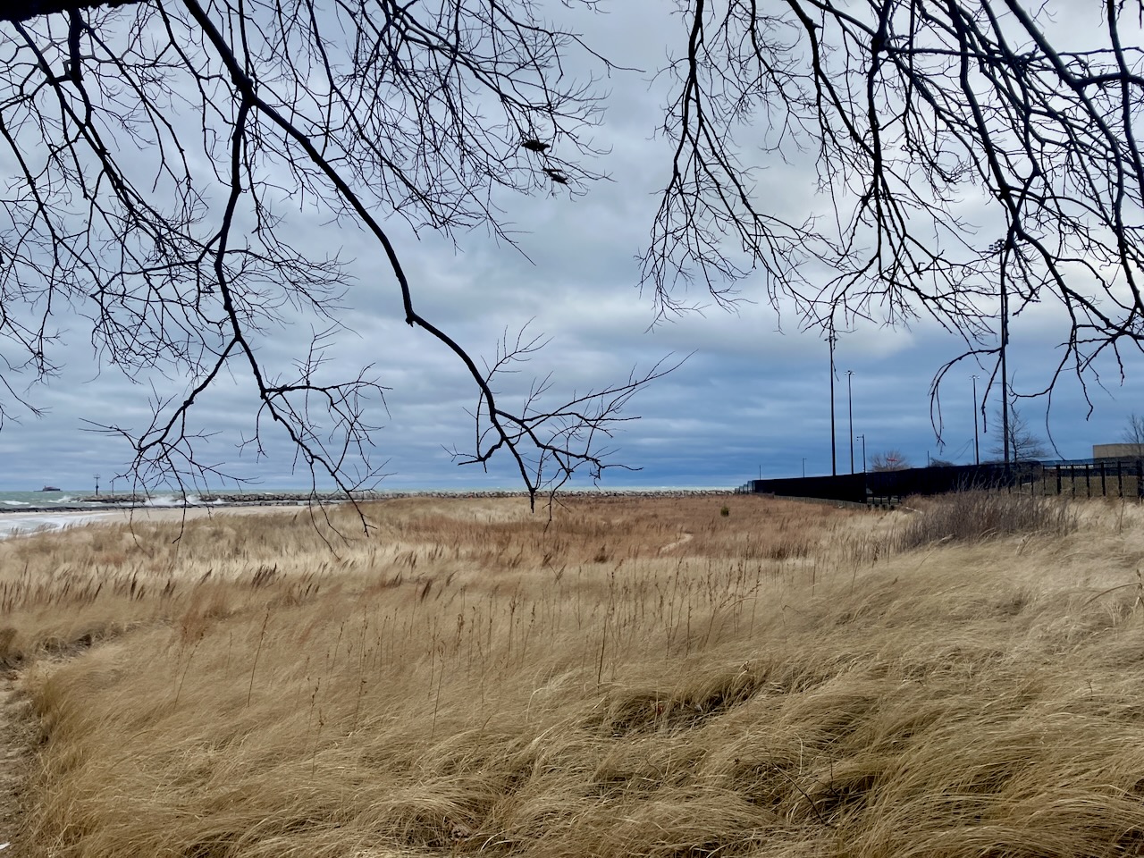
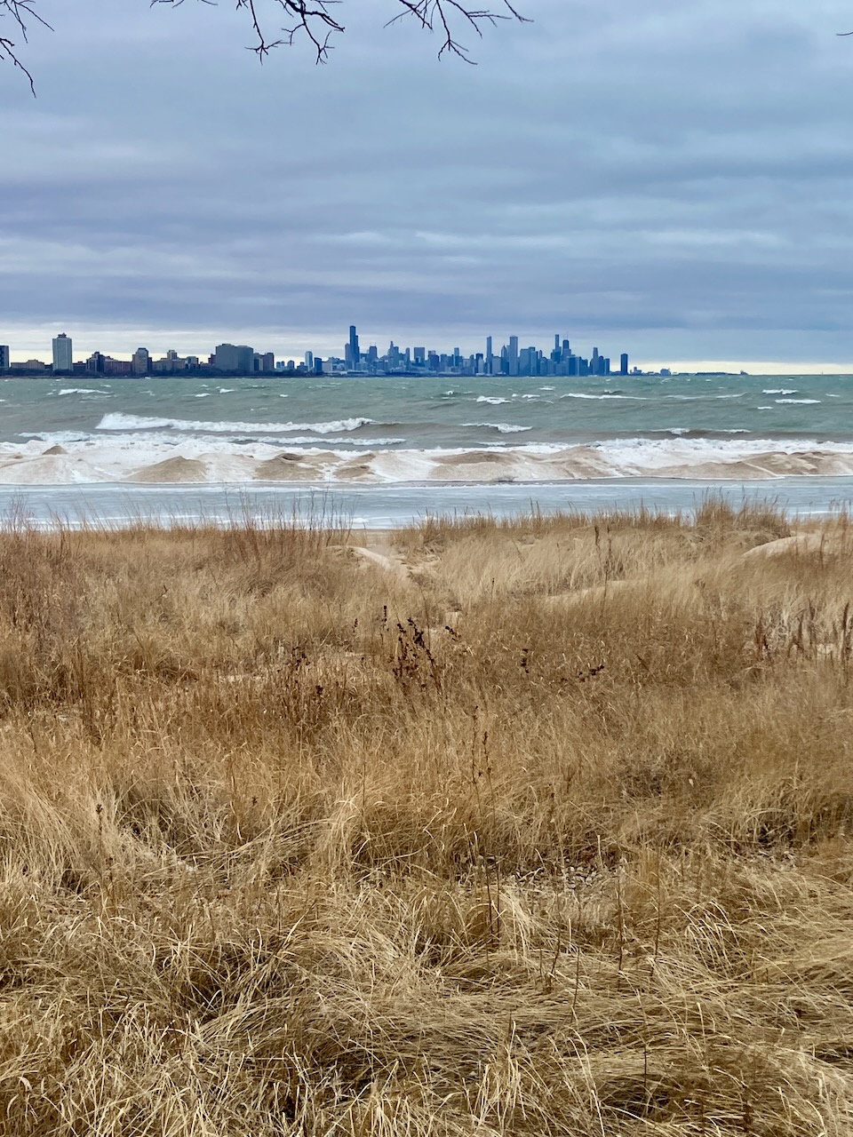
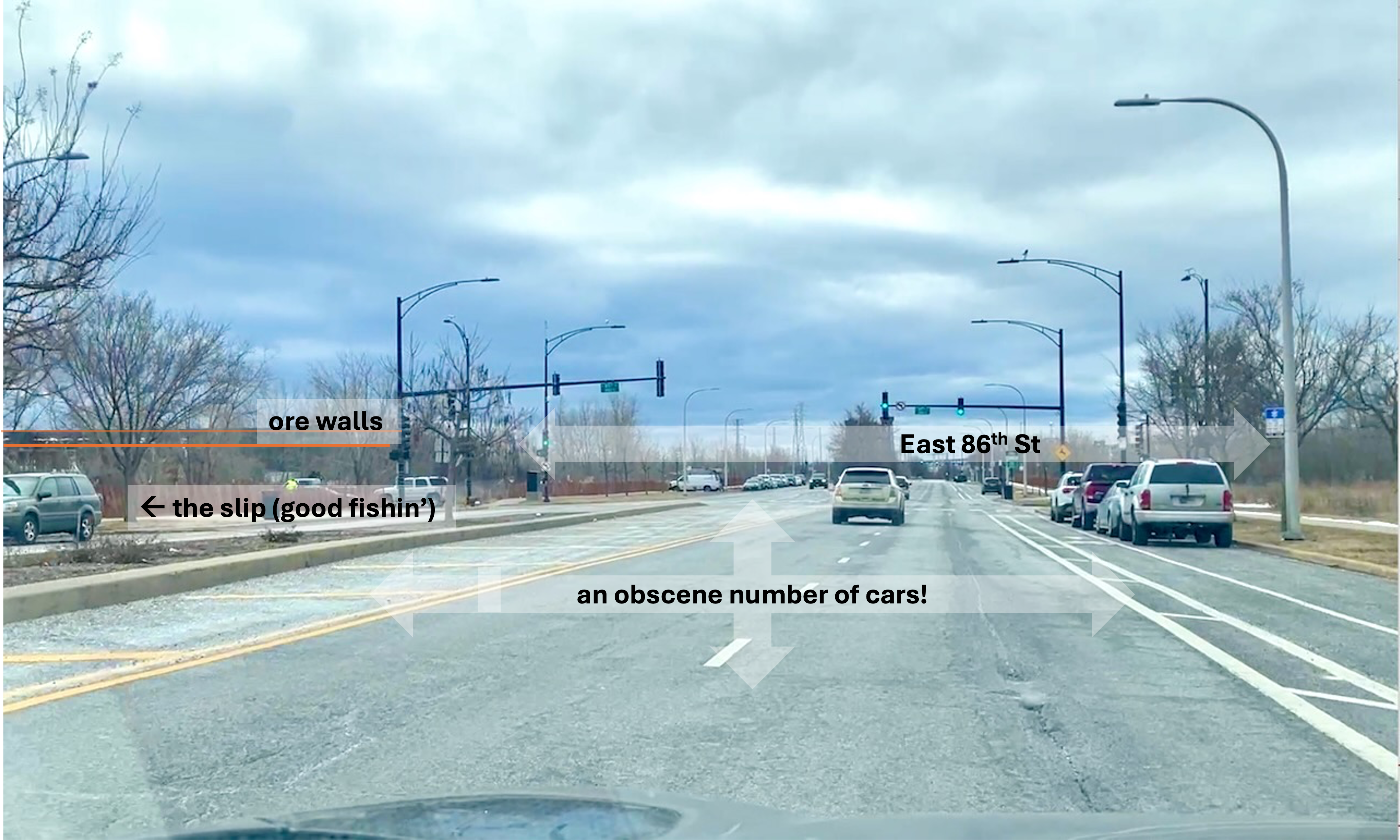
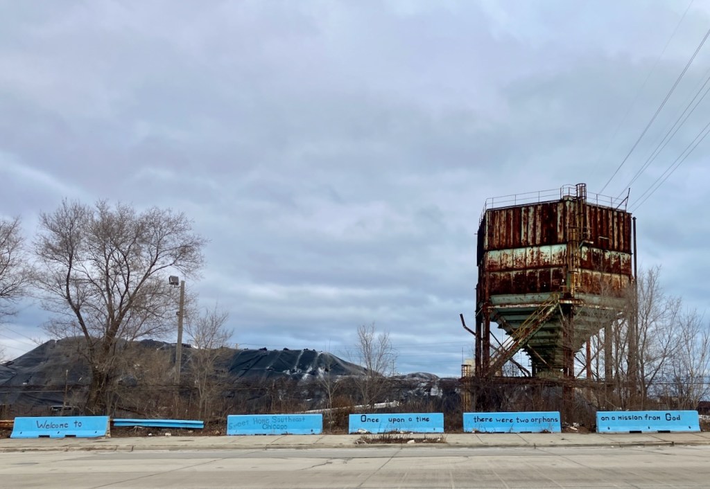
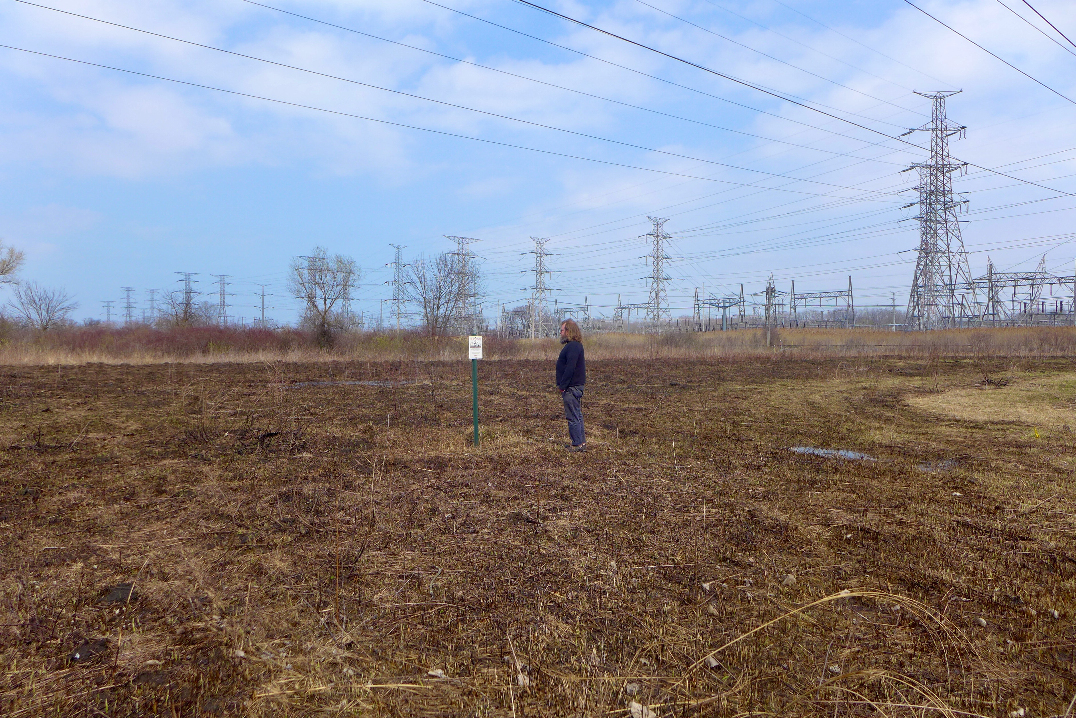
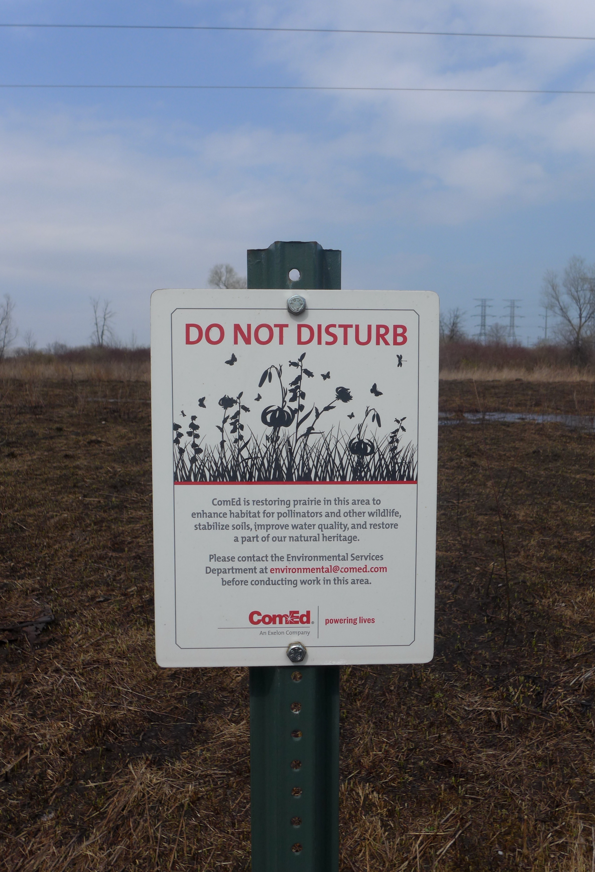
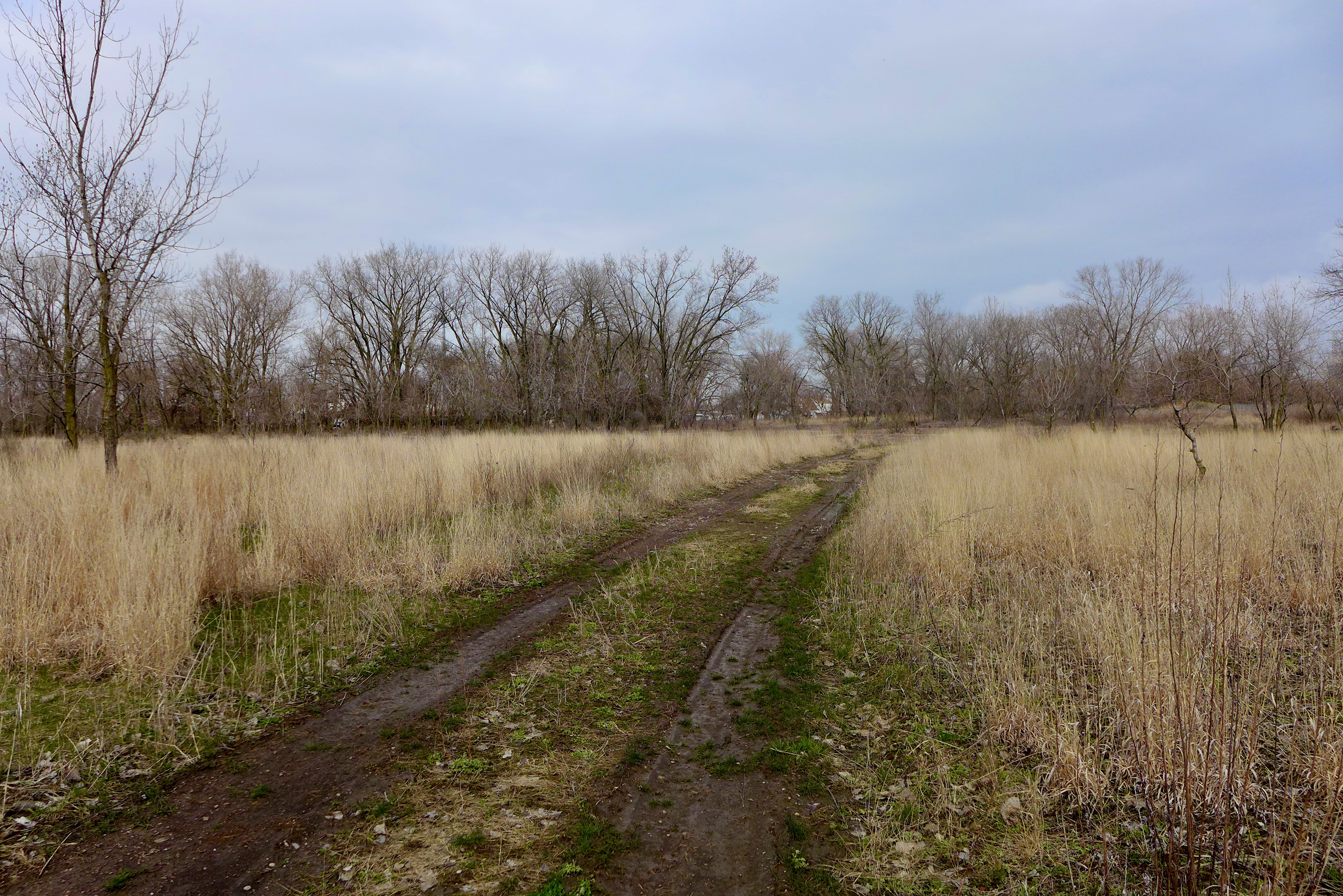
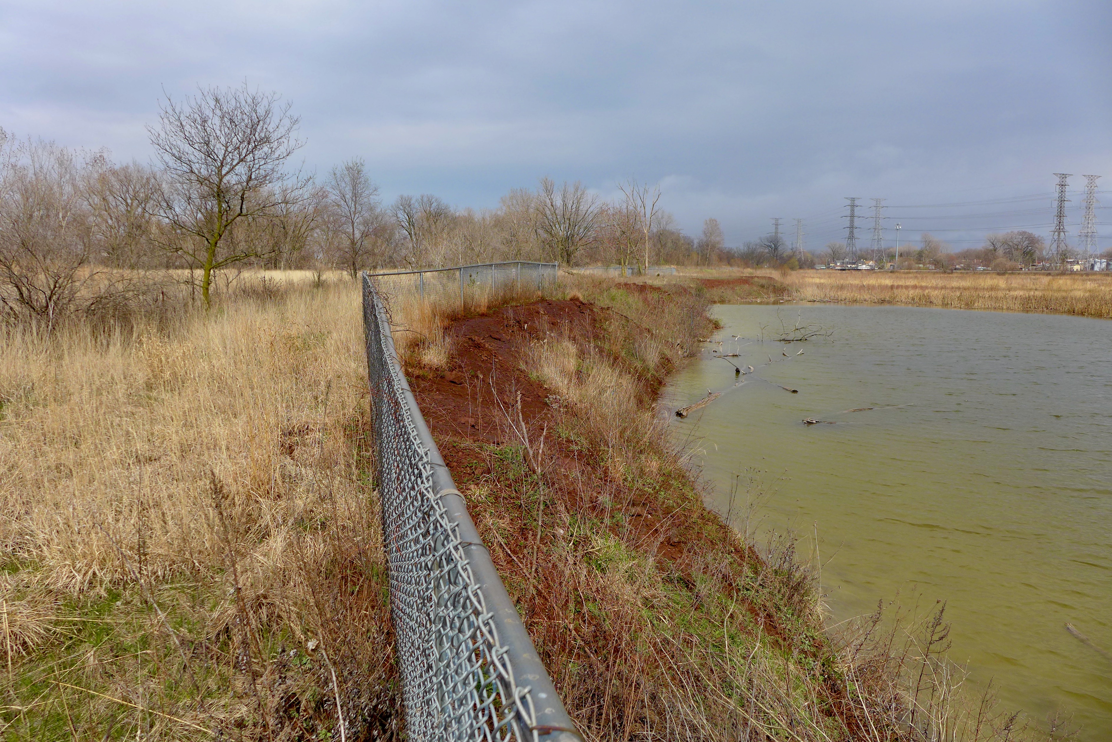
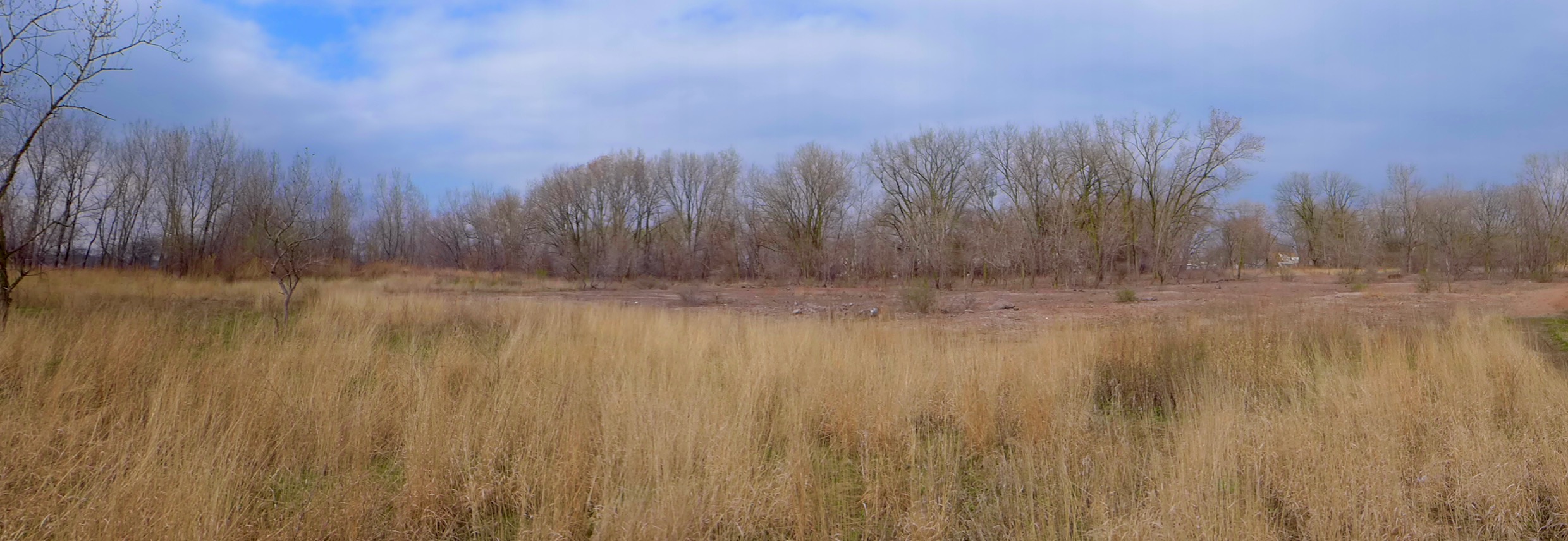
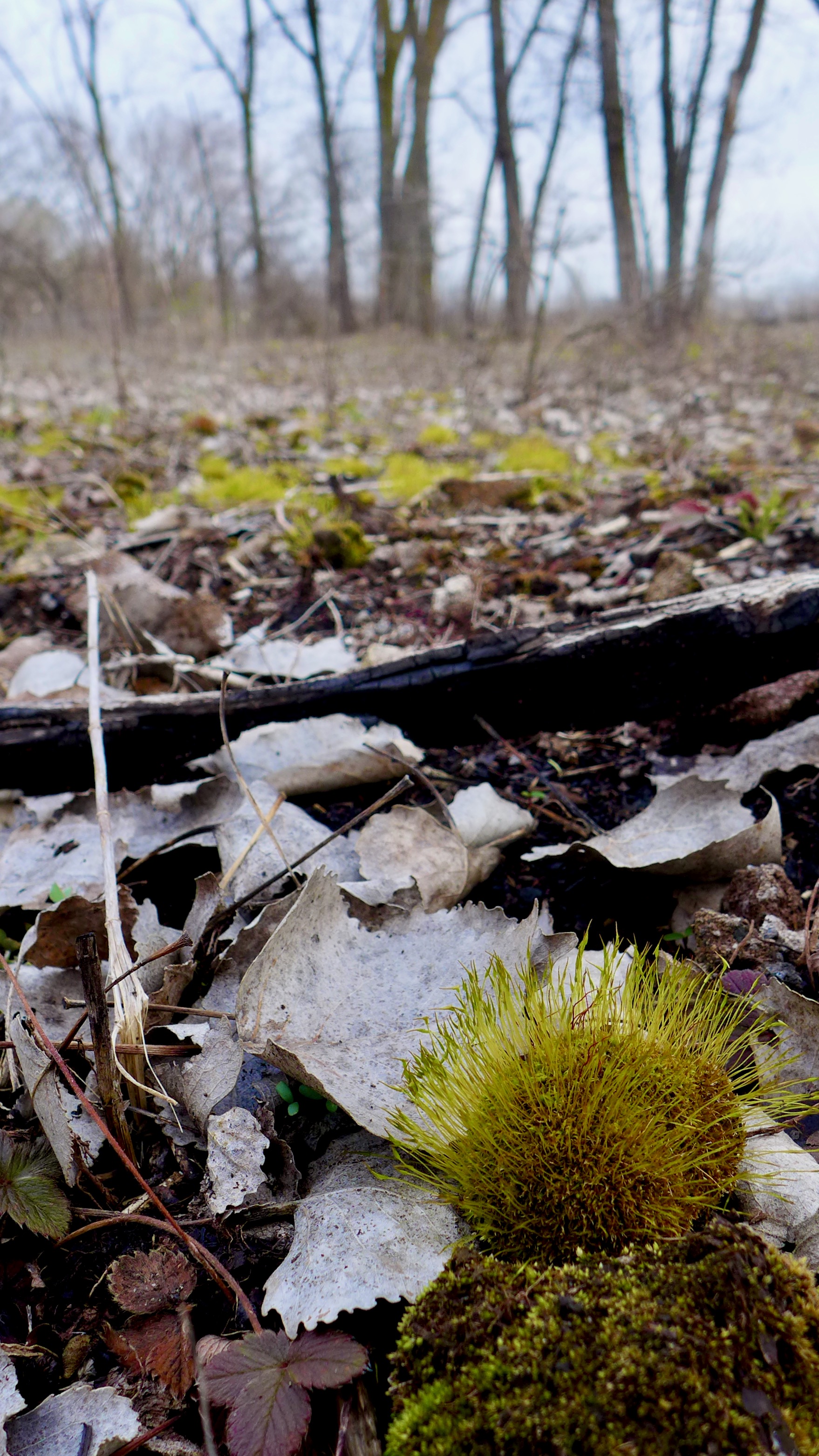
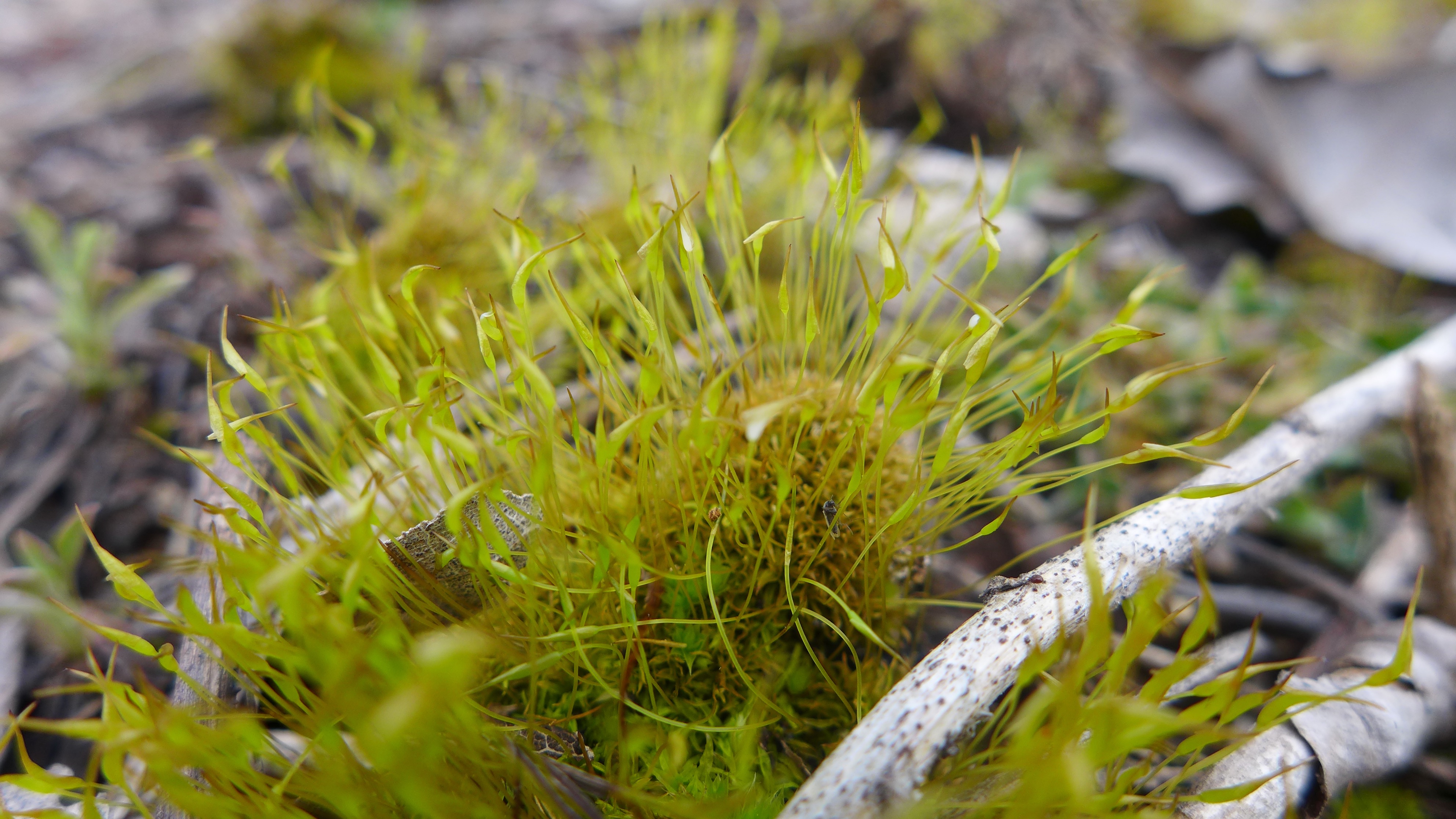
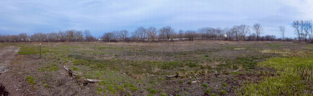
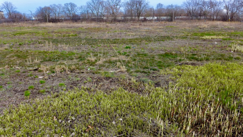
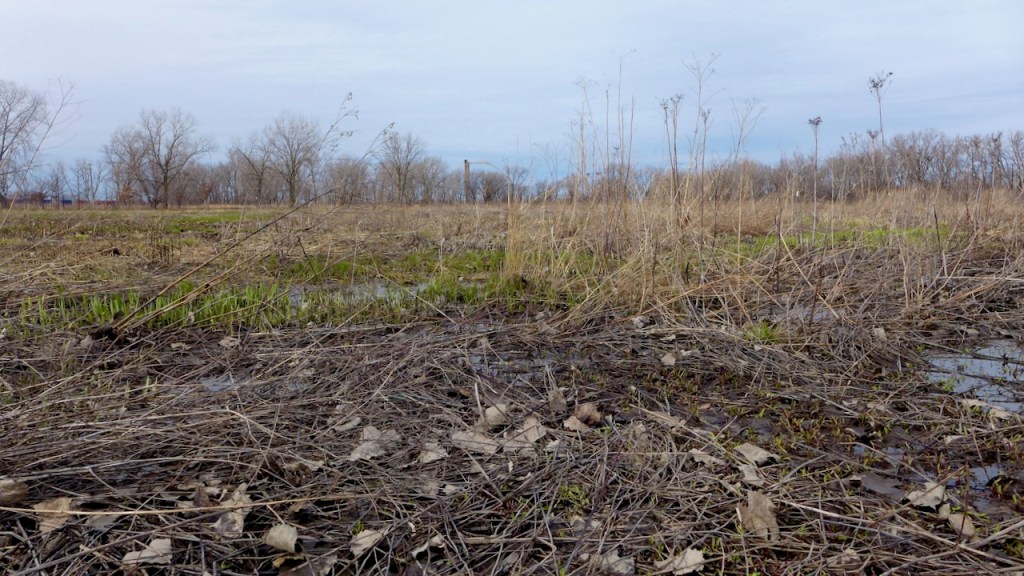
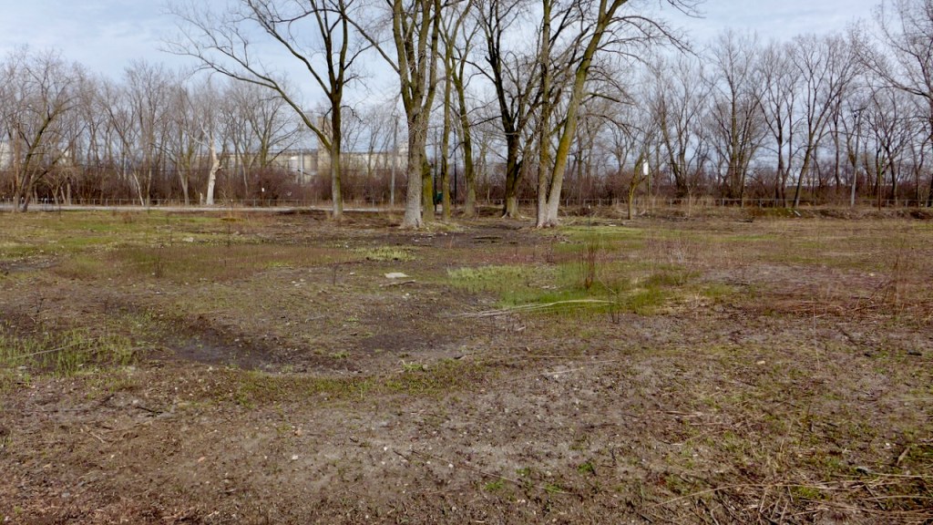
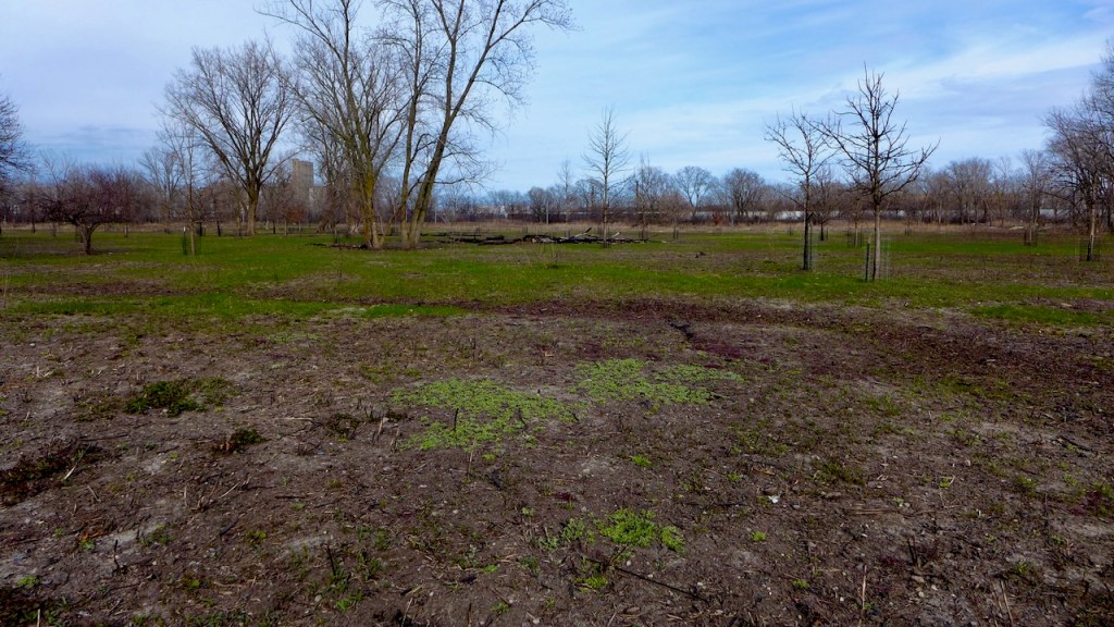
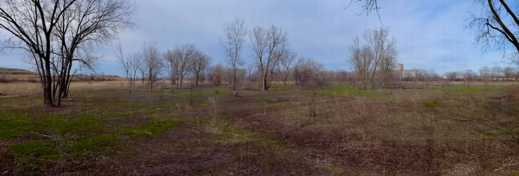
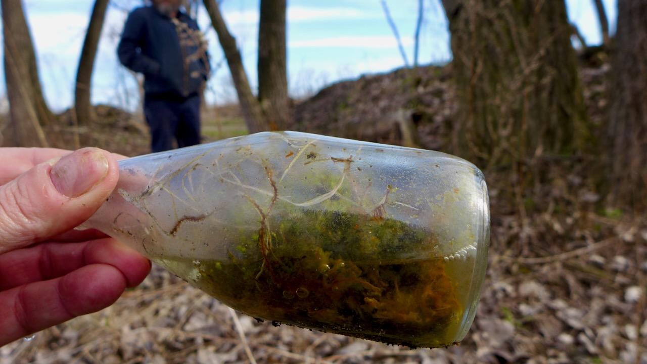
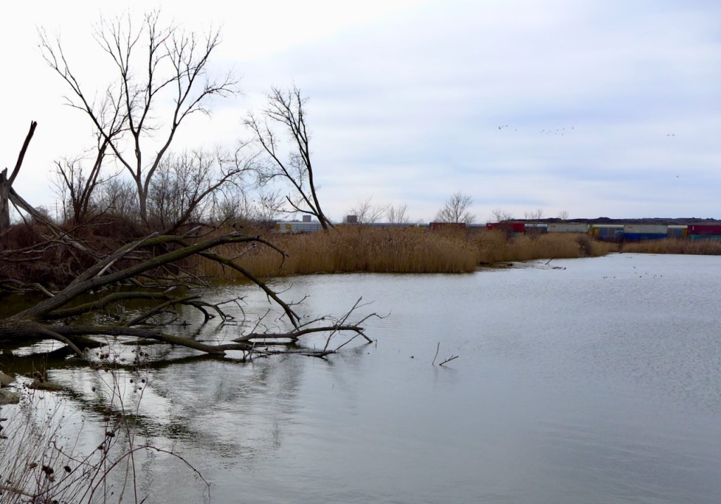
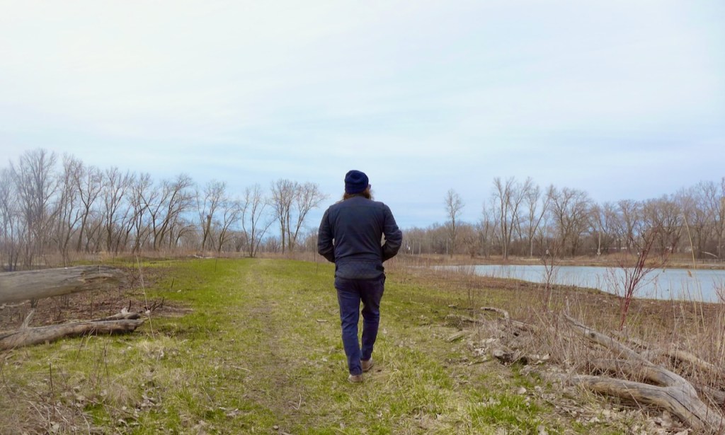
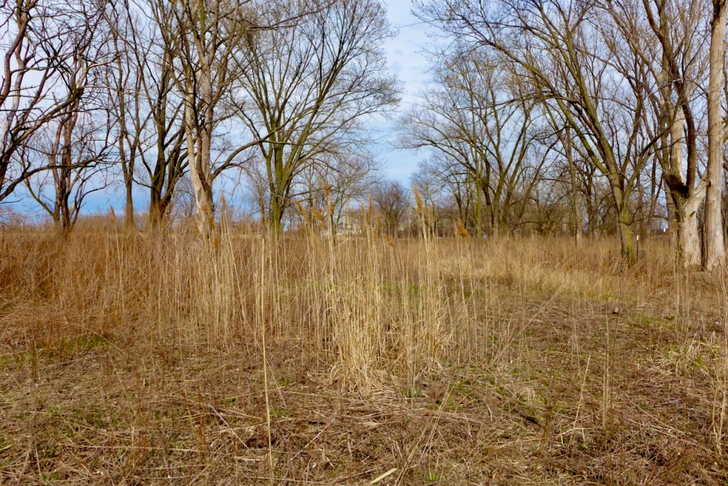
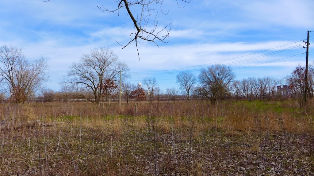
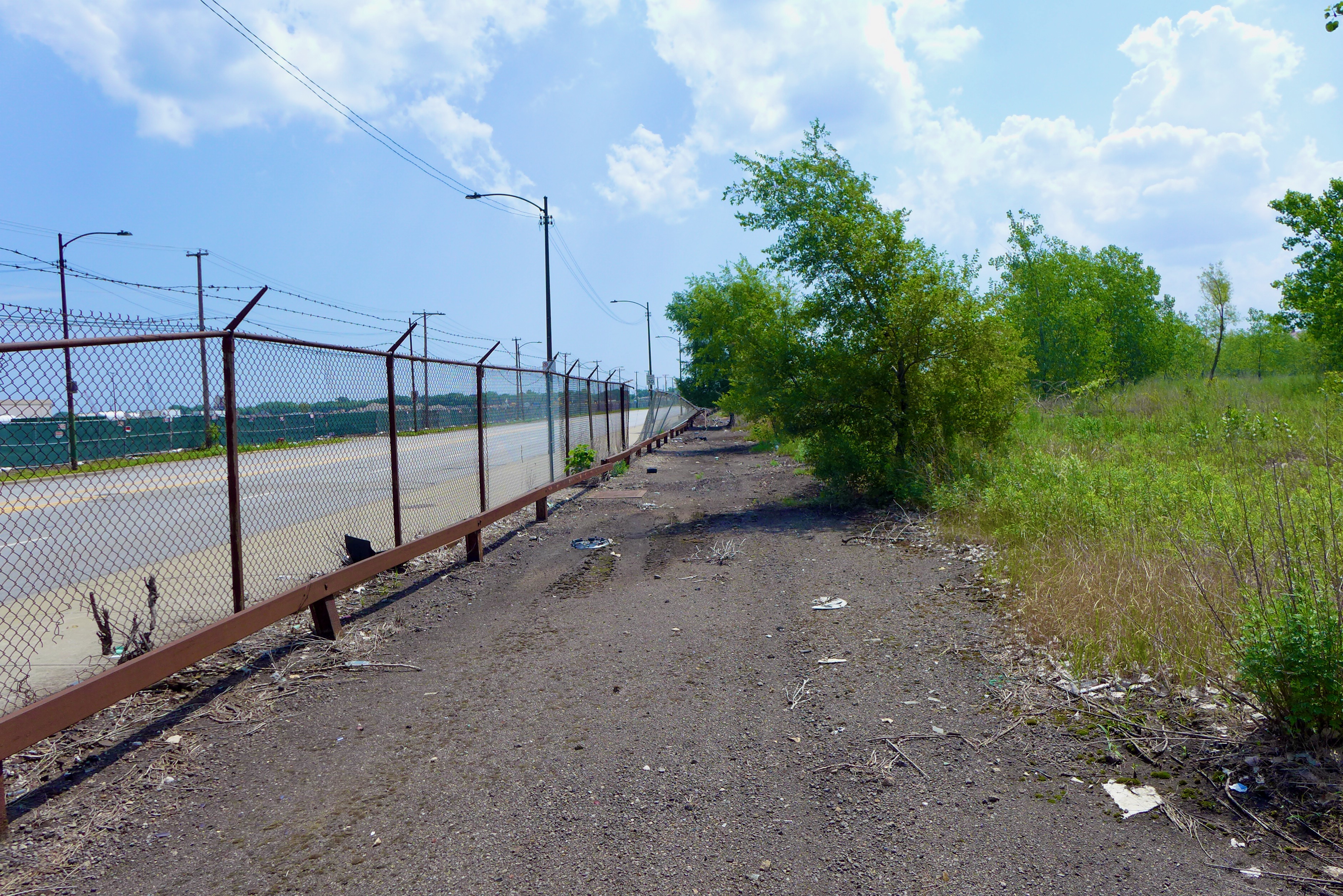
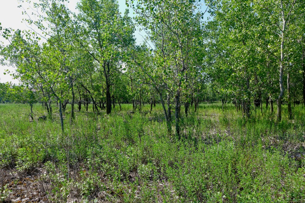
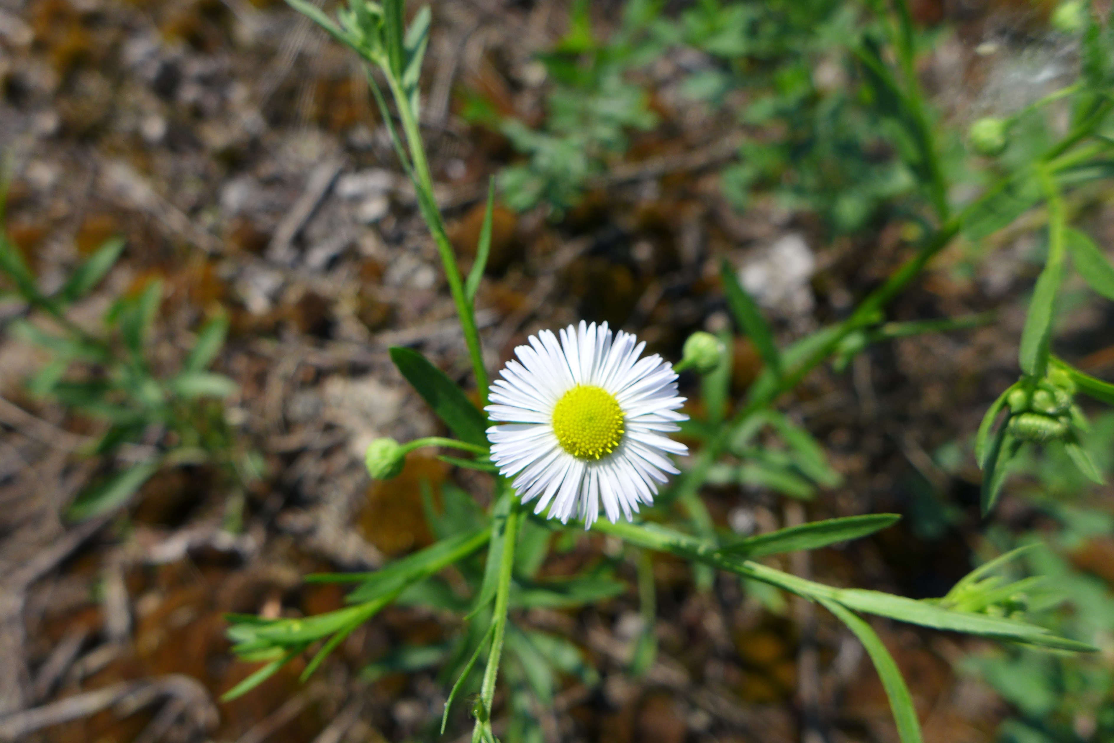
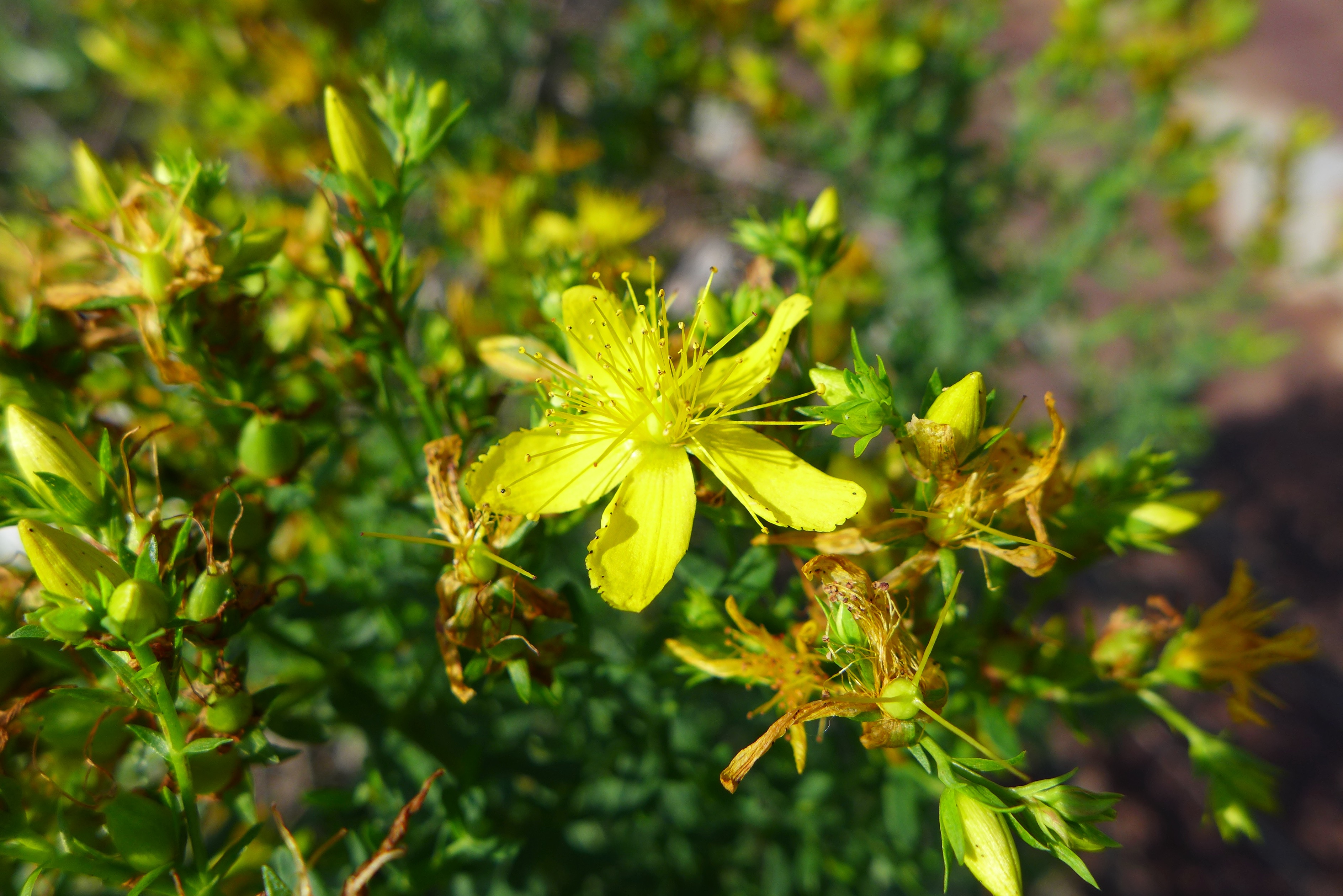
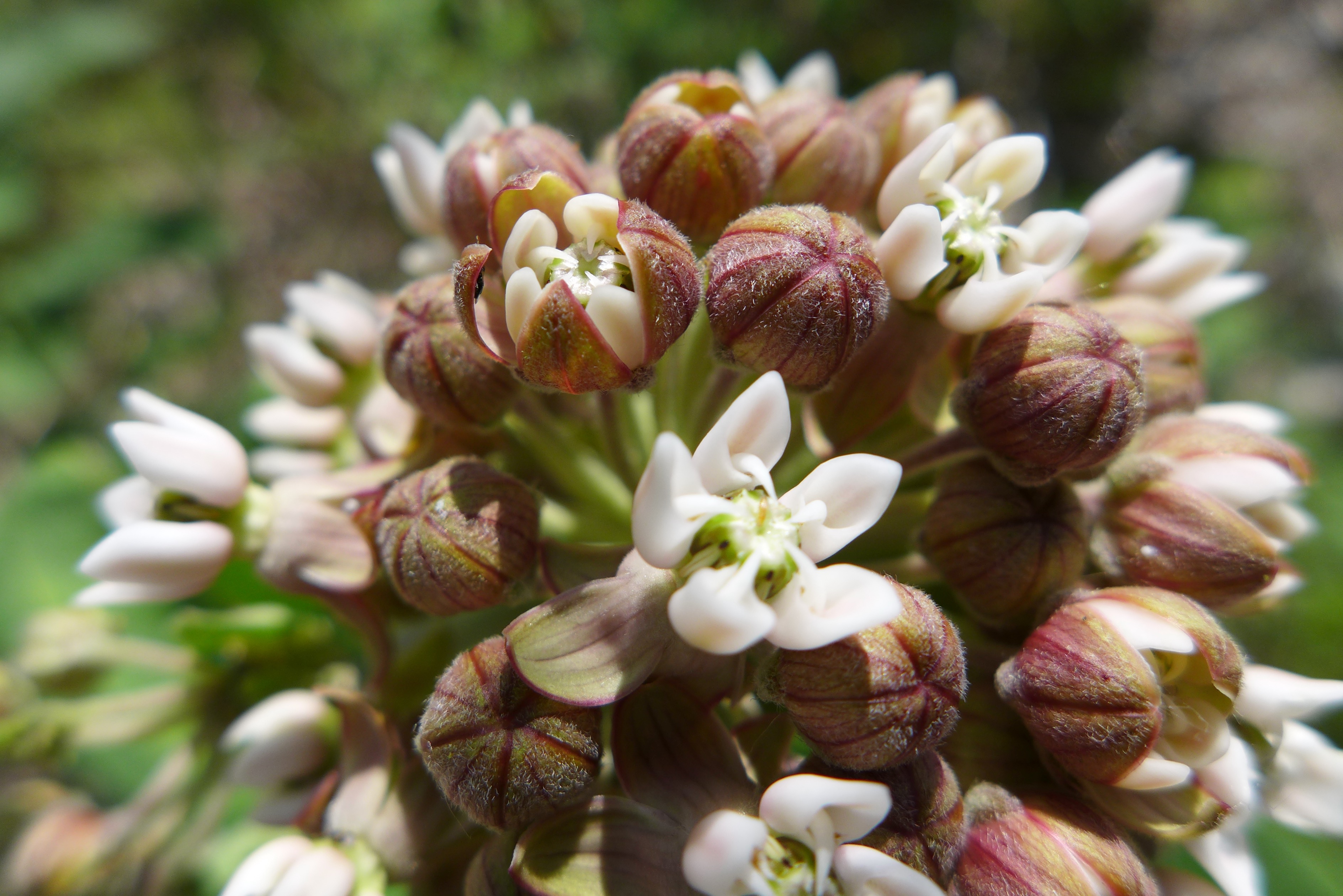
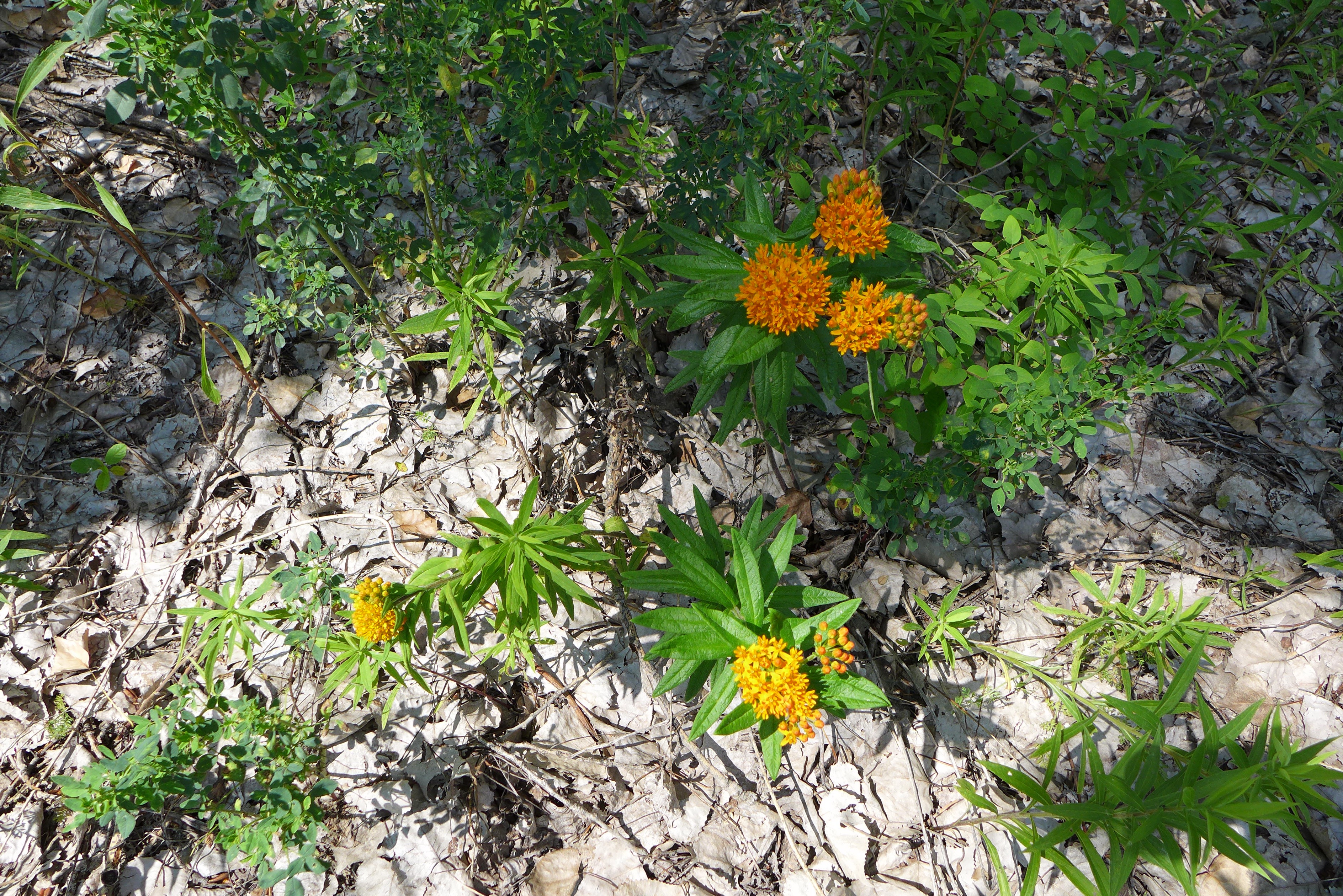
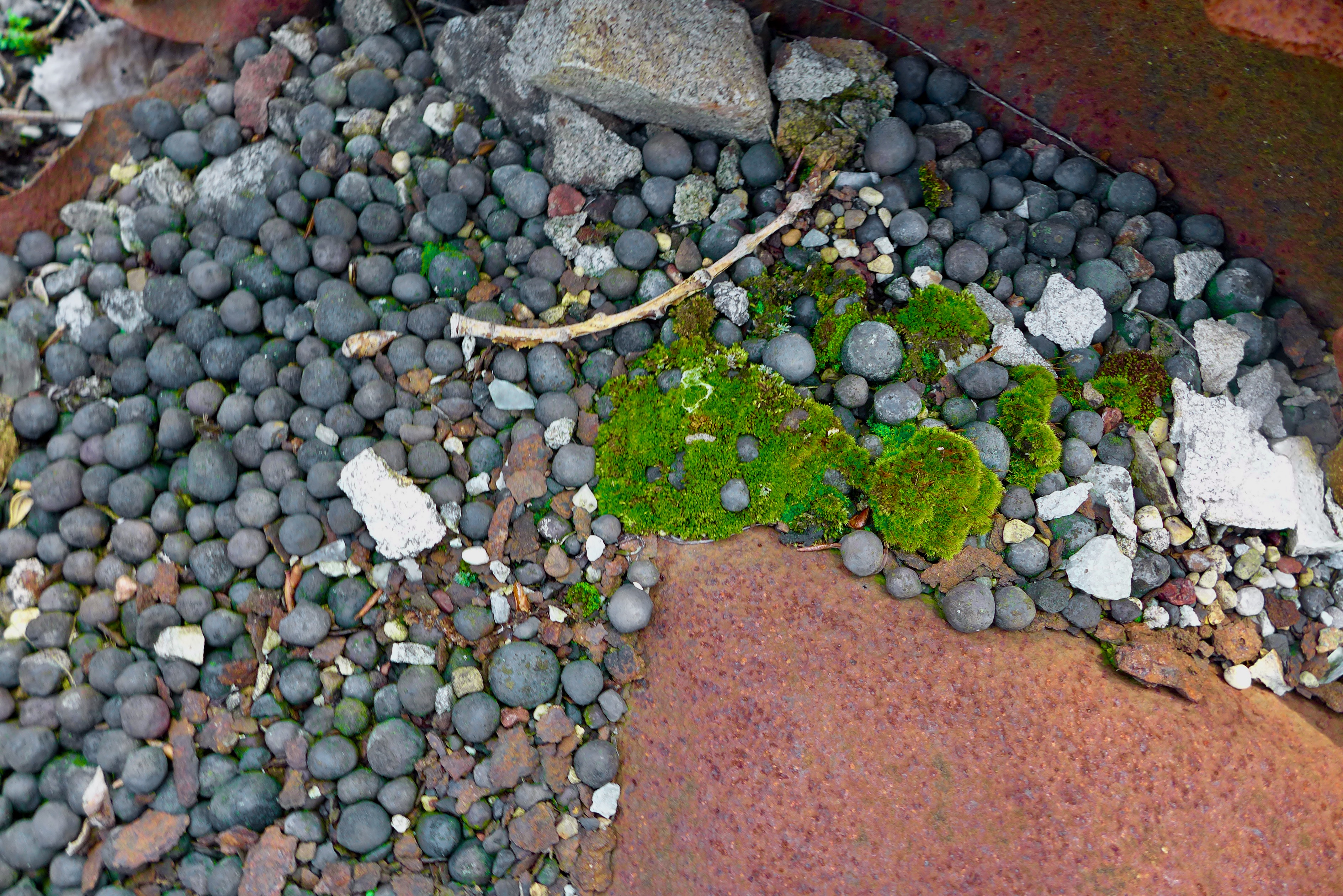
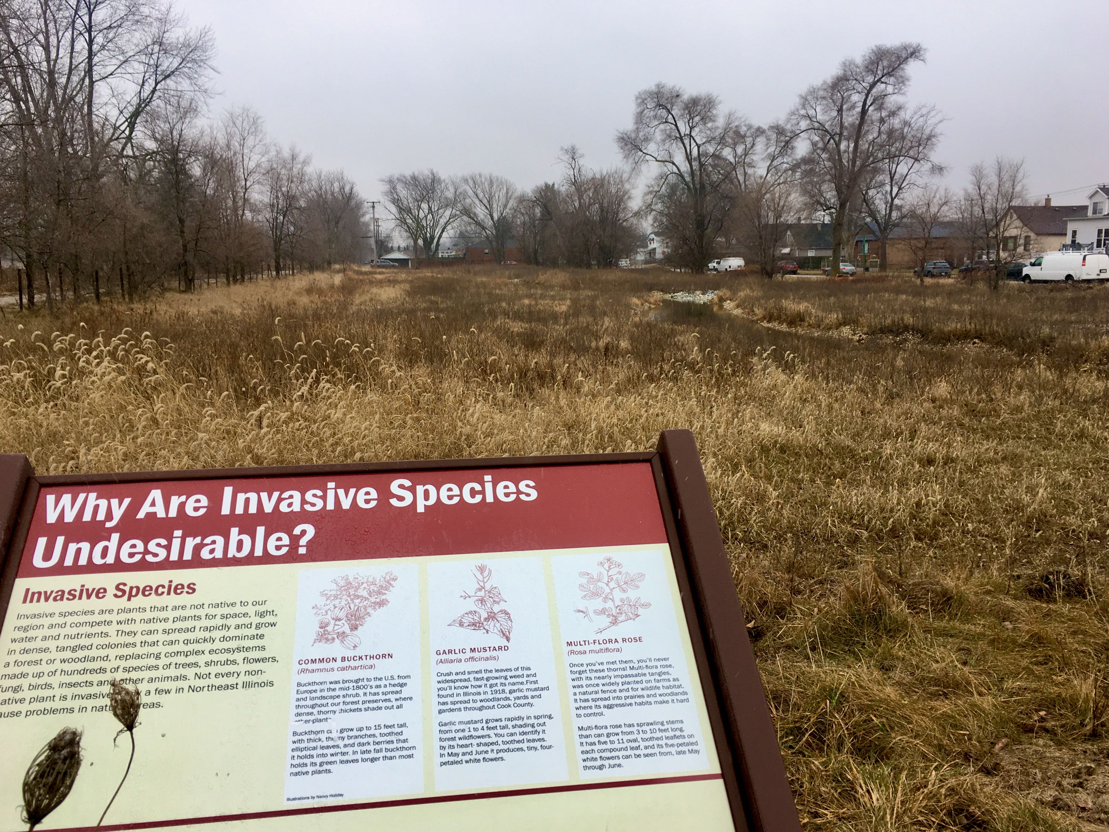
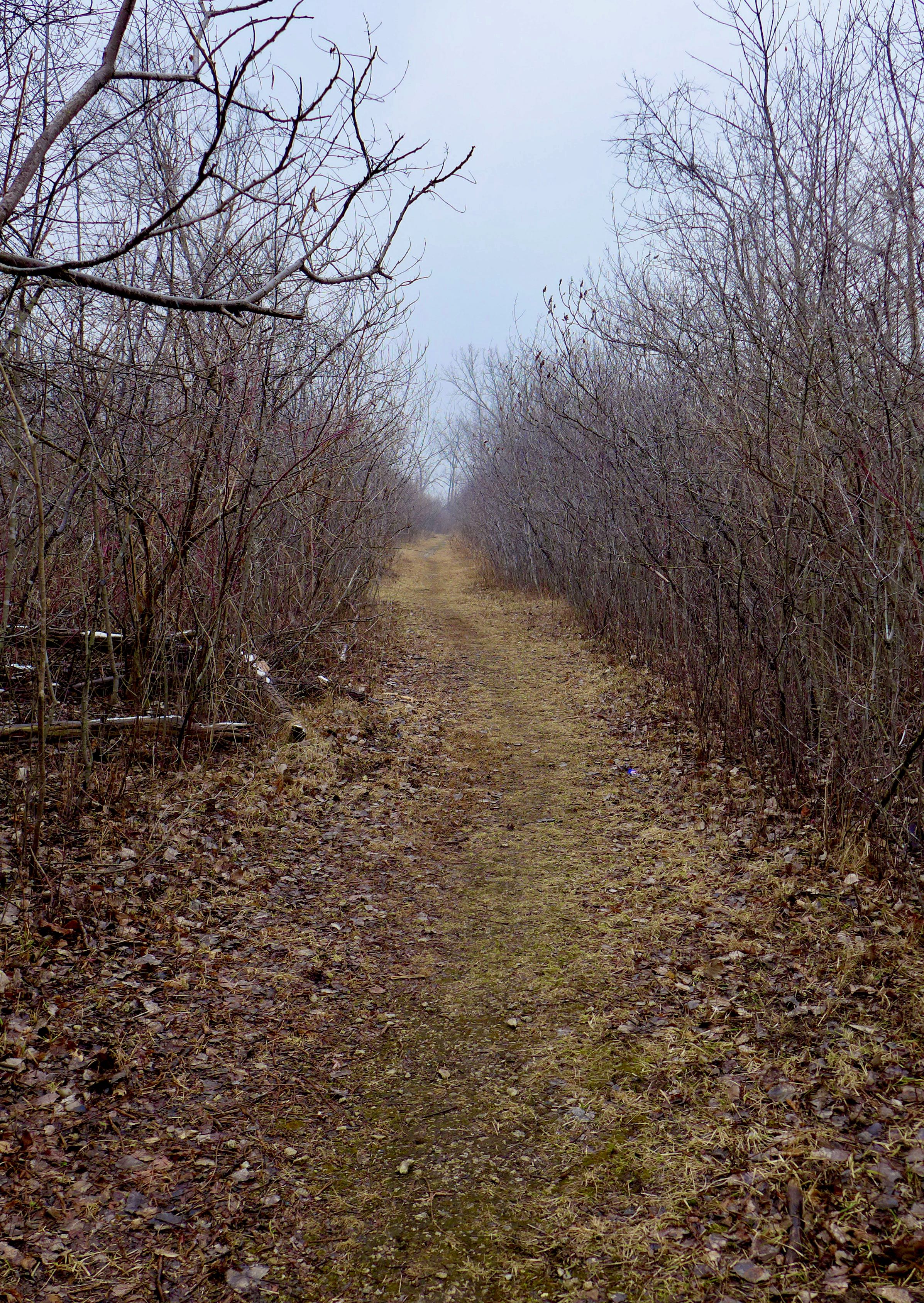
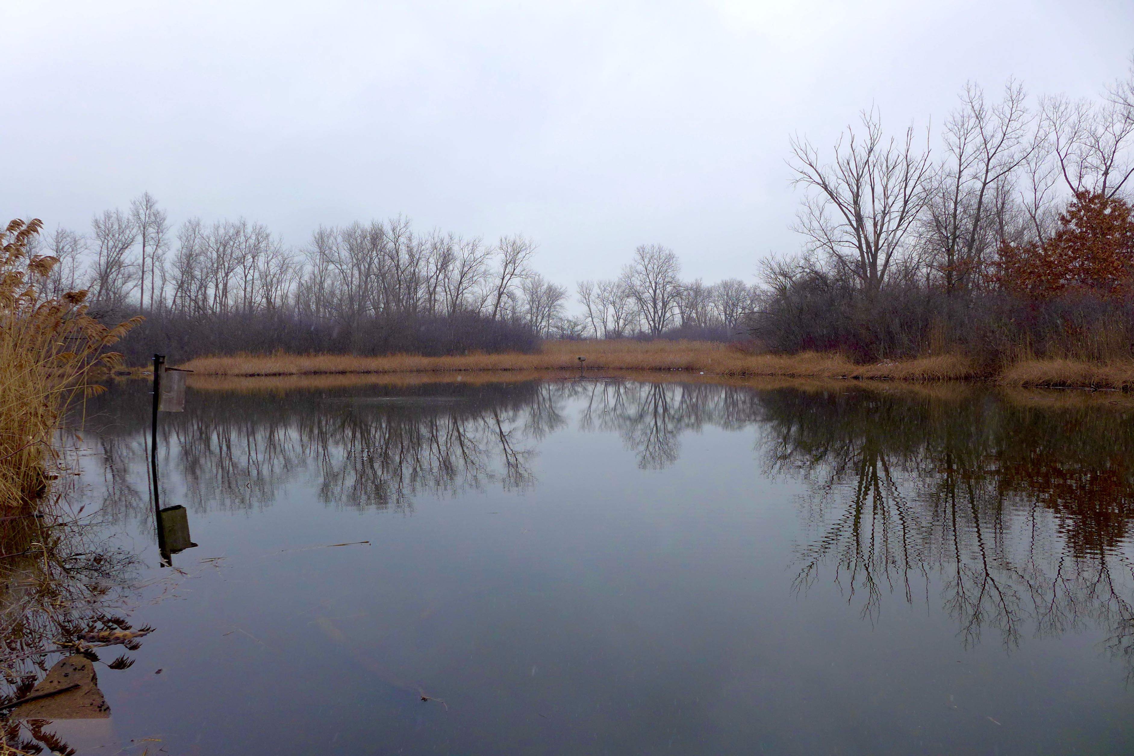
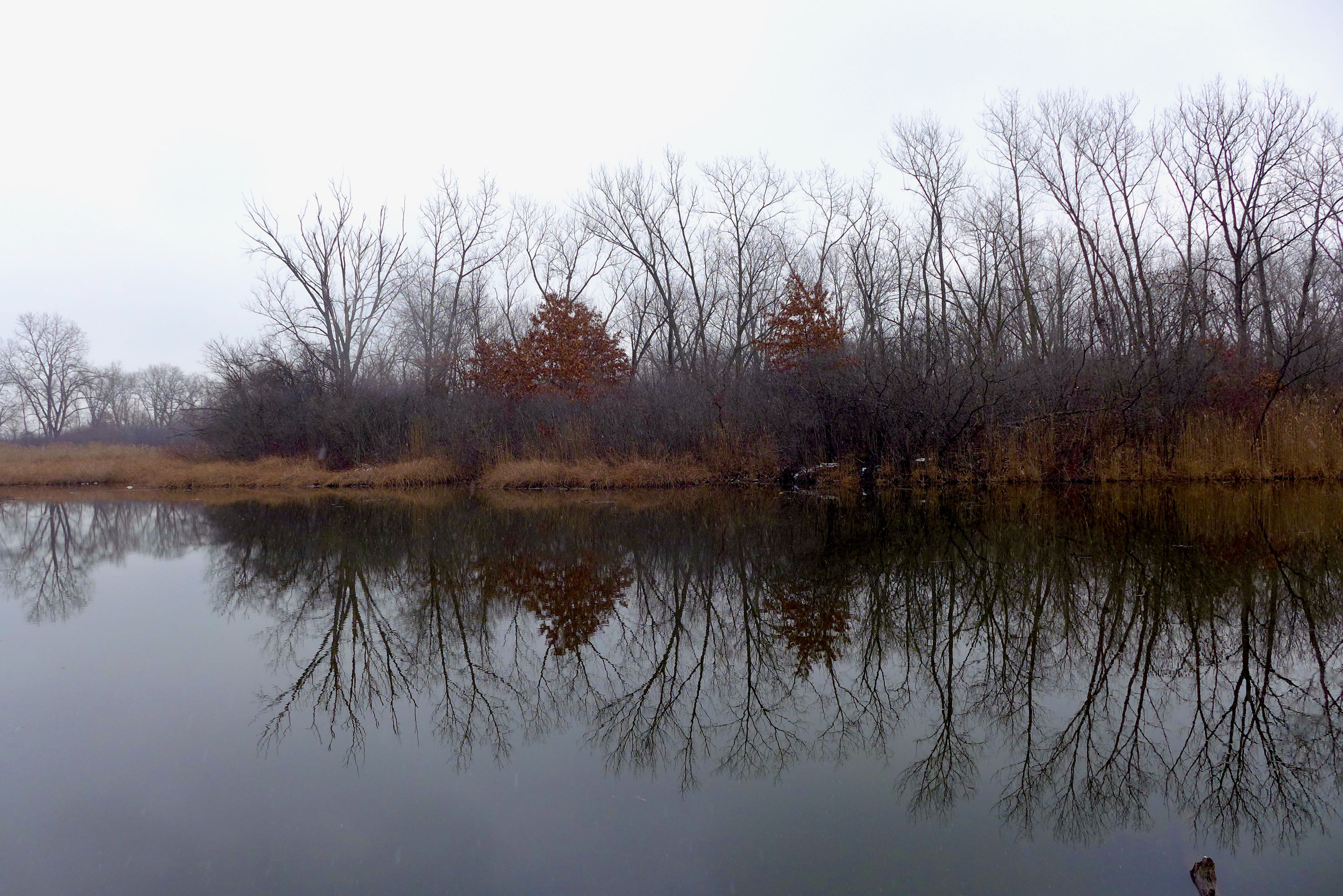
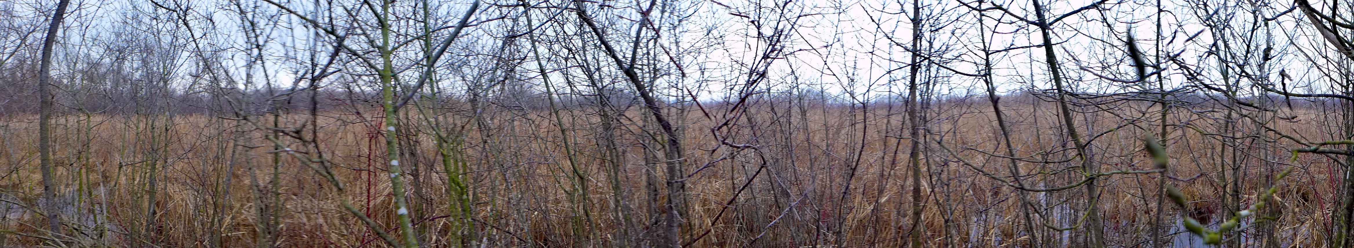
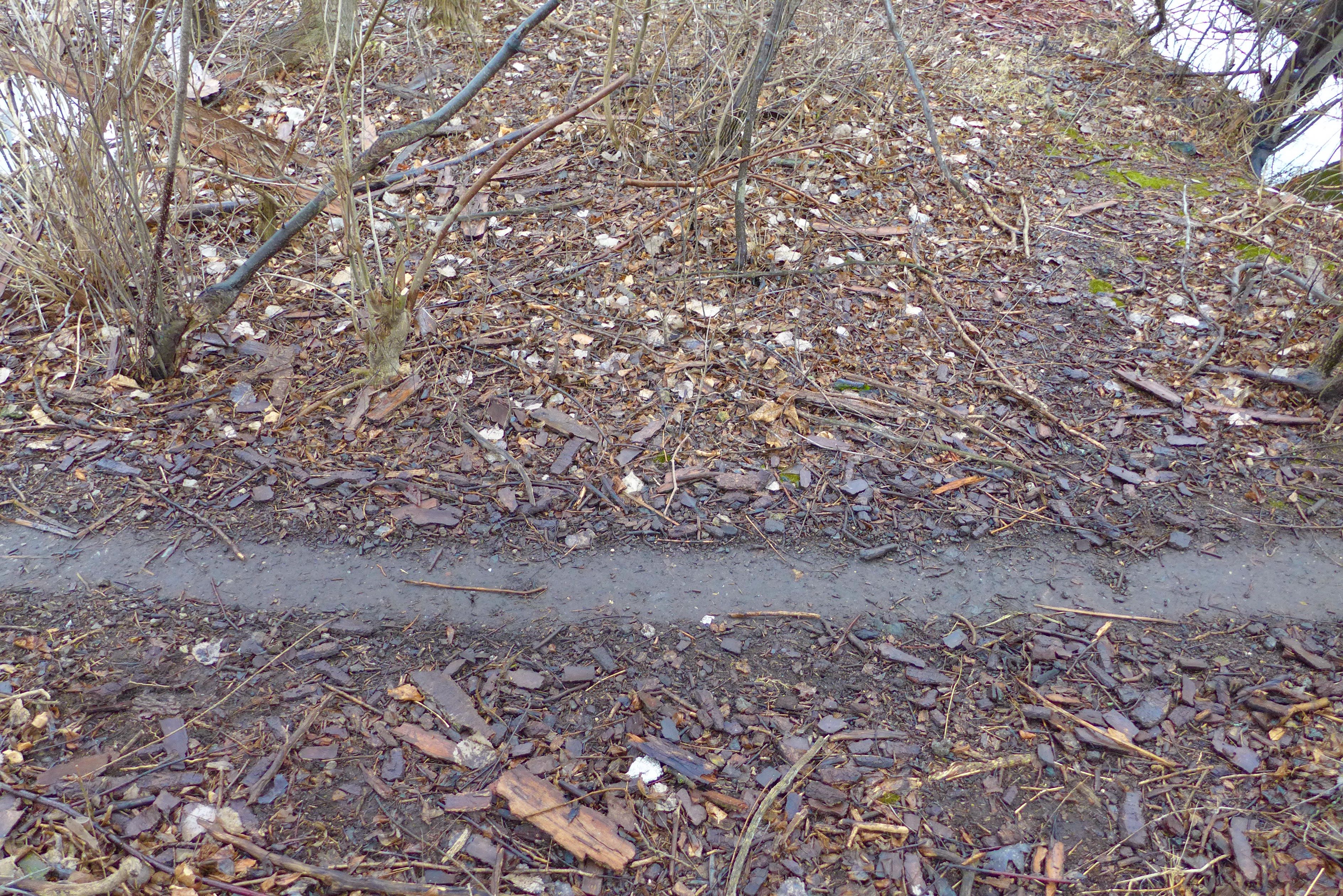
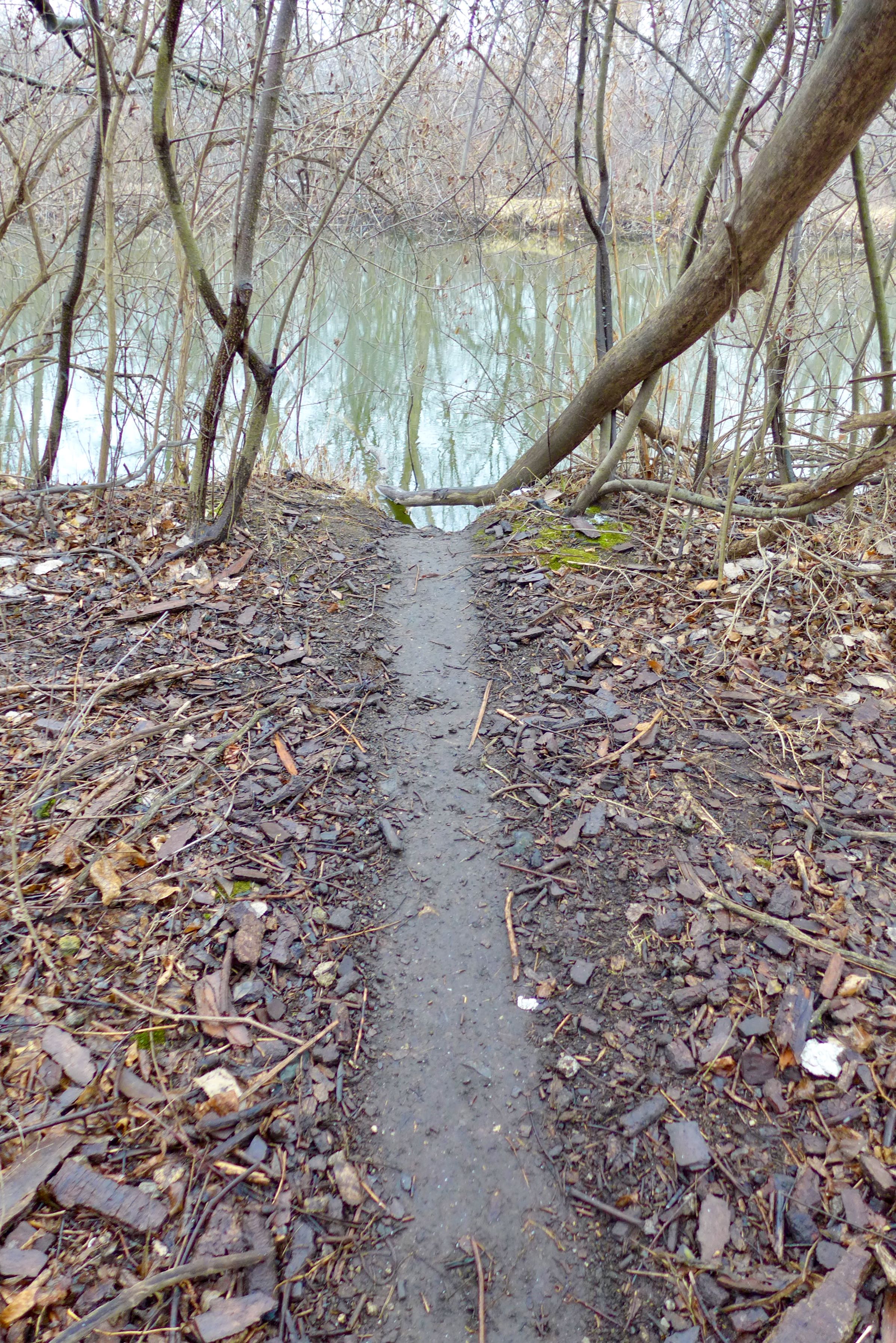
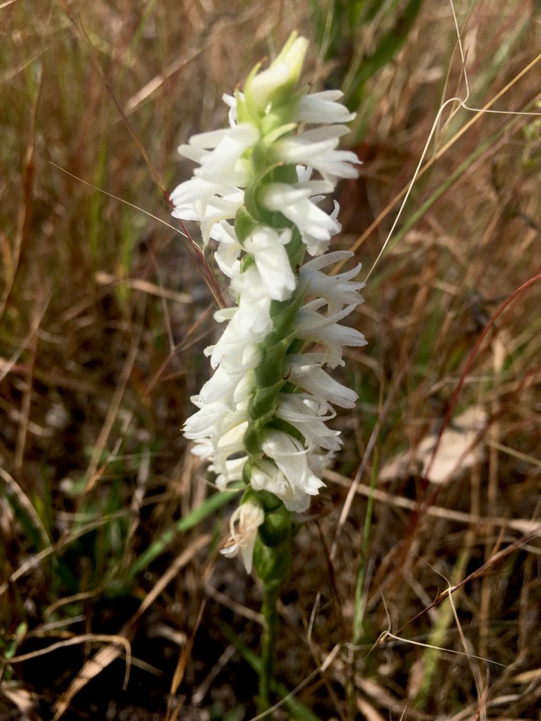
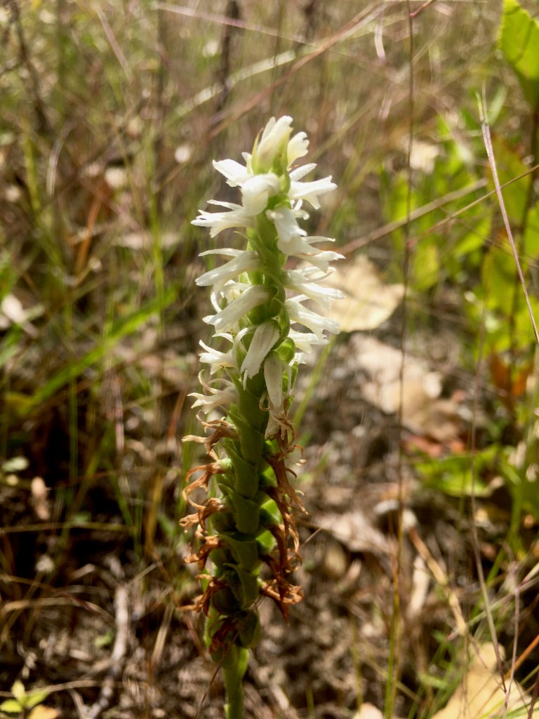
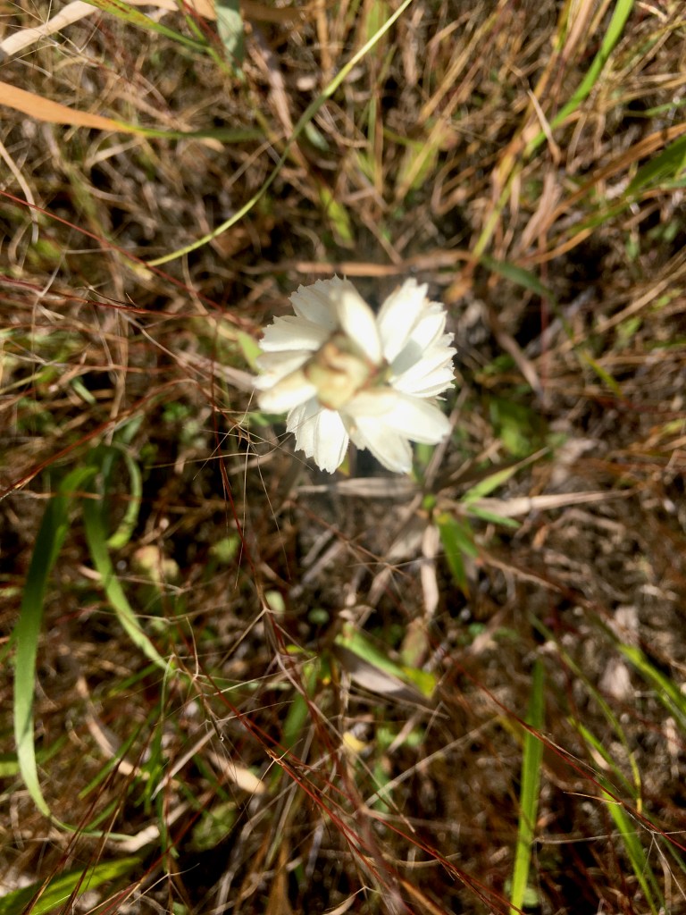
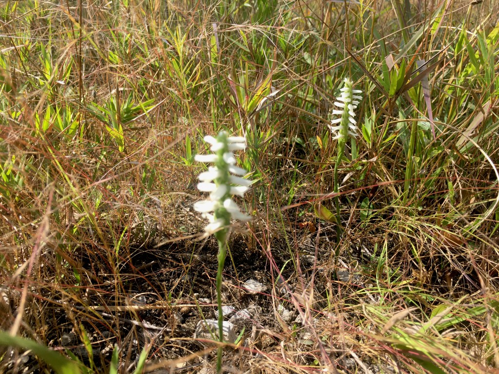
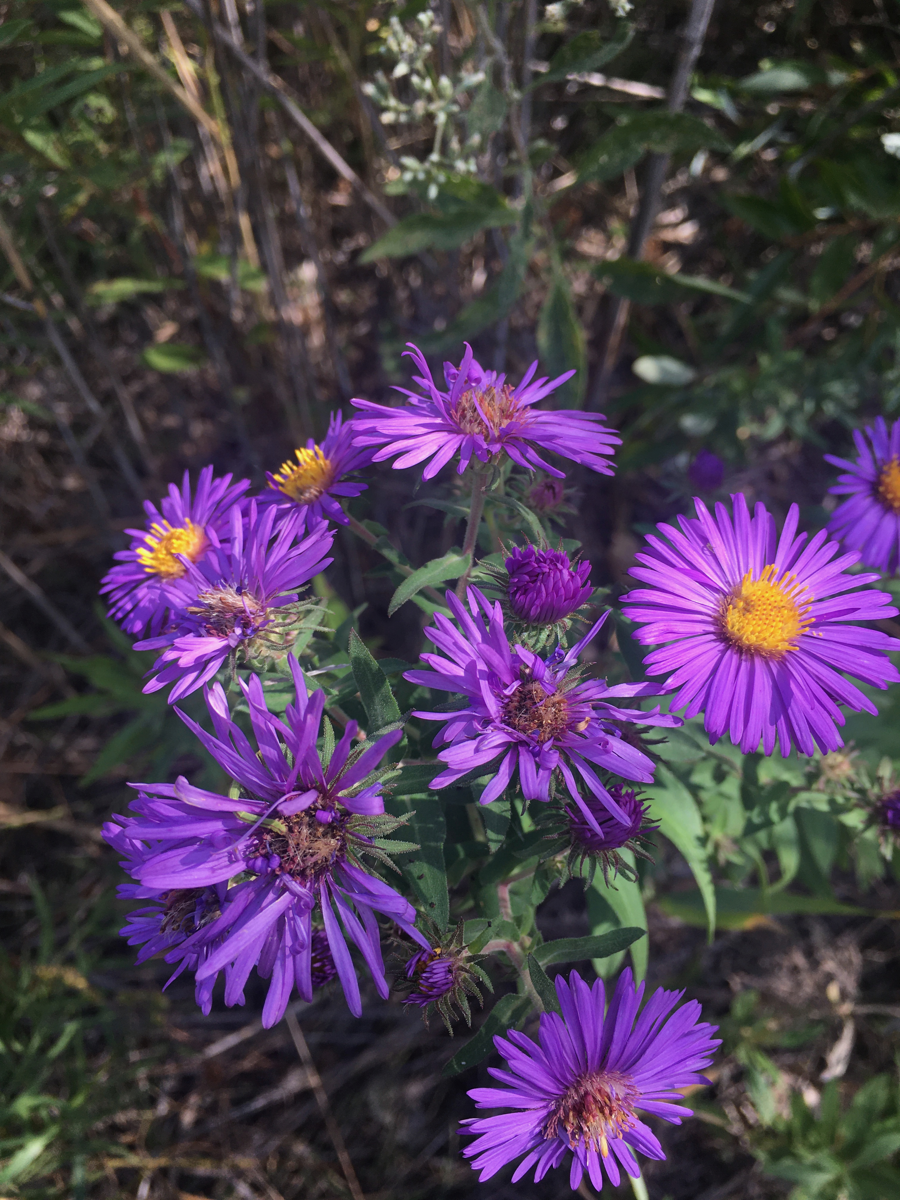
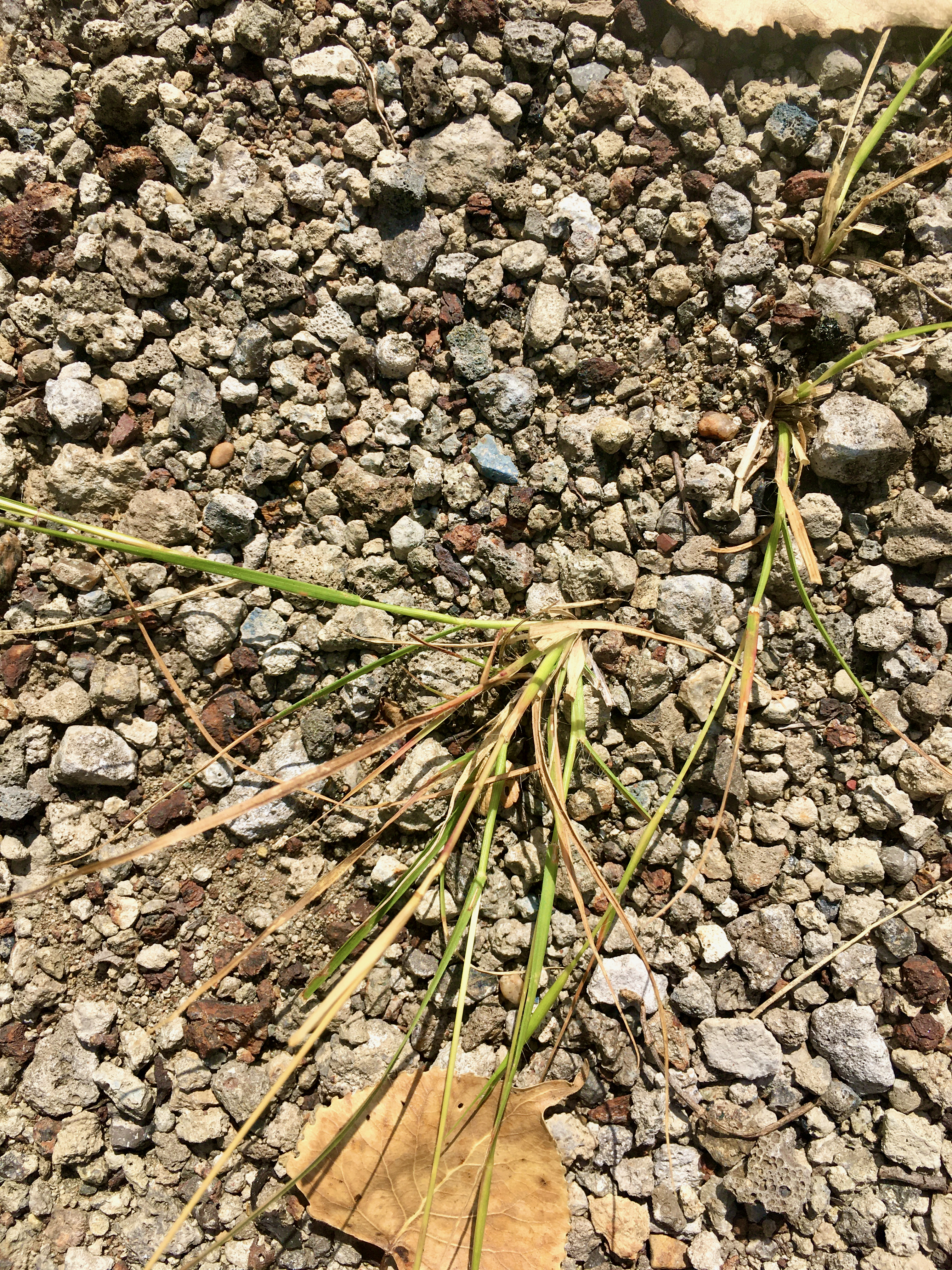
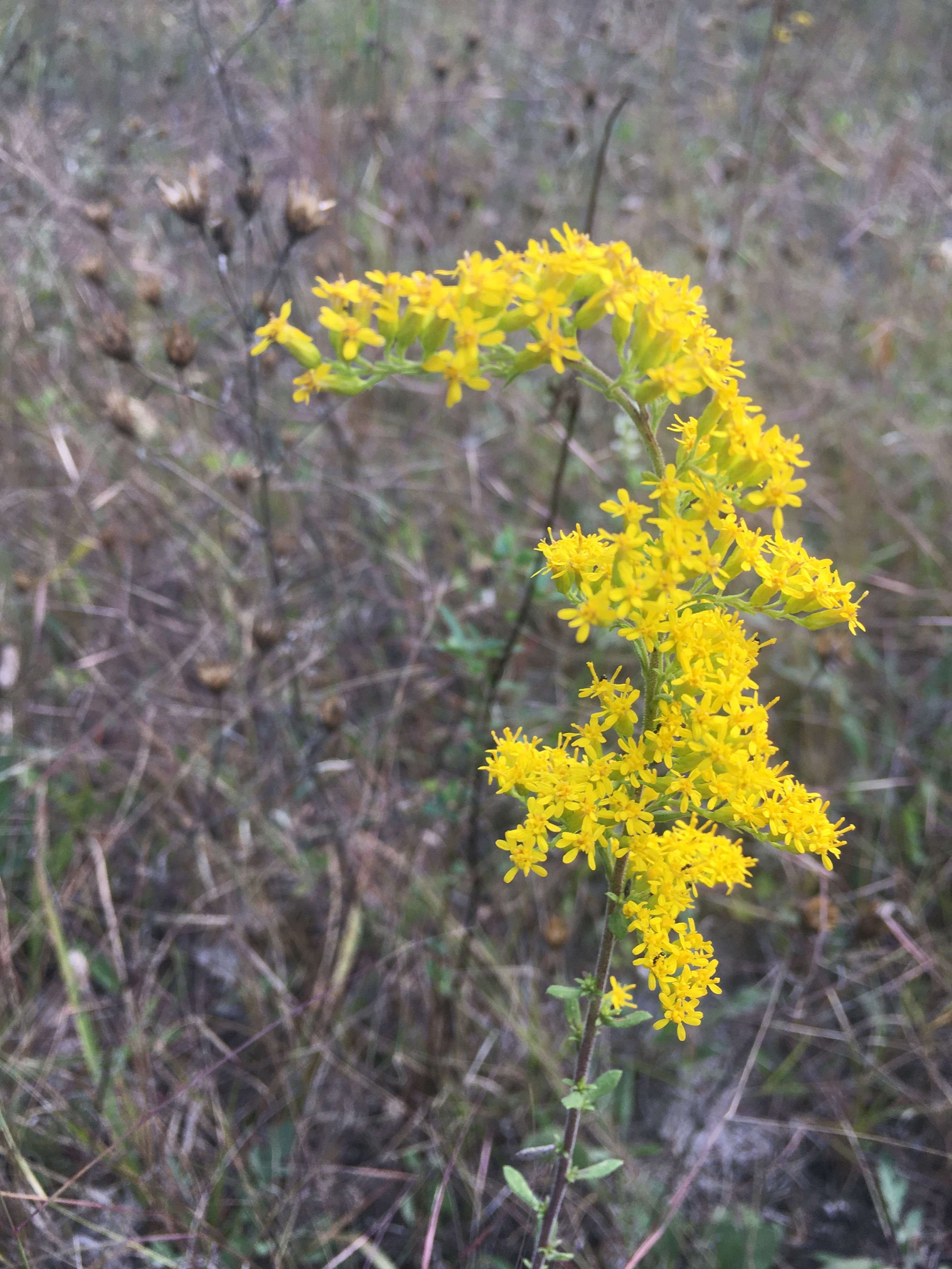
Marian R. Byrnes Park, IL • May 2025

This place is a unique kind of urban restoration. Van Vlissingen Park has been owned by the Chicago Park District since 2011. When we first started visiting, it was an overgrown, impenetrable, Phragmites-filled mess, like many public lands around Chicago in the 80s through early 2000s.

And the restoration isn’t back to some pre-colonial time; this is no remnant habitat here. It’s a spontaneous ecosystem that moved in on a bed of slag and construction waste. Some of the waste continues to erupt from layers of soil; bricks and building materials form vignettes highlighting the ever present human input into these urban ecosystems.

Now that it’s Marian R. Byrnes Natural Area, it’s a beautiful slag prairie and wetland, with a luxurious woodland path.

Alisma inflorescences from last year, and new vegetative growth

an honor for another explorer of underappreciated ecosystems to make his mark here!
with the water level down across the site, you can see balled up Nostoc, slowly dehydrating

Powderhorn, Chicago IL • April 2025

Powderhorn encompasses a vast tract of land, owned and managed by the Forest Preserve District of Cook County, on the far southeast side of Chicago. It’s a stocked lake with fishers all year round, an award-winning remnant dune and swale habitat,

a to-be-acquired industrial lot with rail tankers, a railroad track lined with Phragmites, and disused land in a residential district made into an urban sponge that captures rainwater and drains it in to the lake. Altogether, it makes a really nice urban greenspace

that works with the land and hydrology and habitats, and enhances what they already are (minus some invasive species and plus some light mowing). Check out this terrific Storymap about the most recent restoration project!

We saw lots of evidence of beavers!

and other wildlife — like this osprey on a nest on a human-constructed osprey tower!

Burnham Prairie, IL • April 2024

We came up through the south end of Burnham Prairie, over several sets of railroad tracks. There was no parking lot; it just seemed like a close spot based on Google Maps.

We found a recent burn by Com Ed,

and skirted the wetlands of the Illinois State Nature Preserve.

We turned back and drove up to the north end of Burnham Prairie, well-hidden in the furthest reaches of residential Burnham, abutting the Grand Calumet River.

As we approached the slag prairie I realized I’d forgotten how much like Mars this slag is: everything is very stunted (very clear in cottonwoods); spotted knapweed is a champ and brings all the pollinators to the yard; there are a few Liatris, lots of whorled milkweed, some sumac; mosses making the barrens less barren.

Check out another visit to the same site a few years ago: Burnham Prairie, IL • March 2016

Indian Ridge Marsh, IL • March 2024

A recent controlled burn here has left a patchwork of new growth of sedges, rushes, and grasses, which will be punctuated with fireworks of colorful flowers later in the year.

other fun finds included:
a well supported bench on high – probably useful for waterfowl hunting.

a spontaneous terrarium.

nice views.

South Central Wolf Lake, IL • January 2023

A boat launch at Wolf Lake and a hydrological connection to Powderhorn Lake are new initiatives by the Forest Preserves and State Park. The connection between these bodies of water is an important one in reconstituting the wetland complex that has characterized the Calumet Crescent in the last 10,000 years.

Looking south towards Powderhorn, this new naturalized channel was constructed in an empty, perennially flooded lot. This green infrastructure is beneficial to the surrounding human community (decreasing local flooding) and connecting the animal communities.

Walking north, a buckthorn protected path affords coverage for waterfowl hunters (remember there is a gun club close by and hunting is legal in William Powers State Park) or coyotes, flanked by the transition zones between land and lake.

The real action though comes from the beavers. We’ve seen beaver dams around Powderhorn Lake in the past – I wonder if these beaver clans were already connected overland, or if the coming months will be first contact between the populations! I hope someone is using this behavioral, range, and host tree preference data to learn lots about these local ecosystem builders!

With no one else around, there was a liminal feeling to the masses of Phragmites topped with a cloudy gauze covering the winter afternoon sun.

Slag Cliffs/Vet’s Park, Chicago, IL • September 2022: revisiting an orchid hypothesis

Remember earlier this year when I mused on whether the slag depression with Phragmites and grasses west of the slag cliffs might foster a Spiranthes population? MY FRIENDS, IT DOES.

I parked across the railroad tracks and walked in near the hay bales. I audibly squealed when I saw the first orchid! Check out the video below where I get very excited and wax romantic about this little mesic slag landscape.