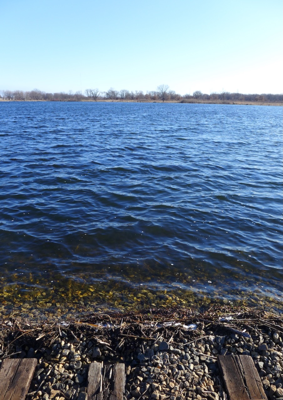
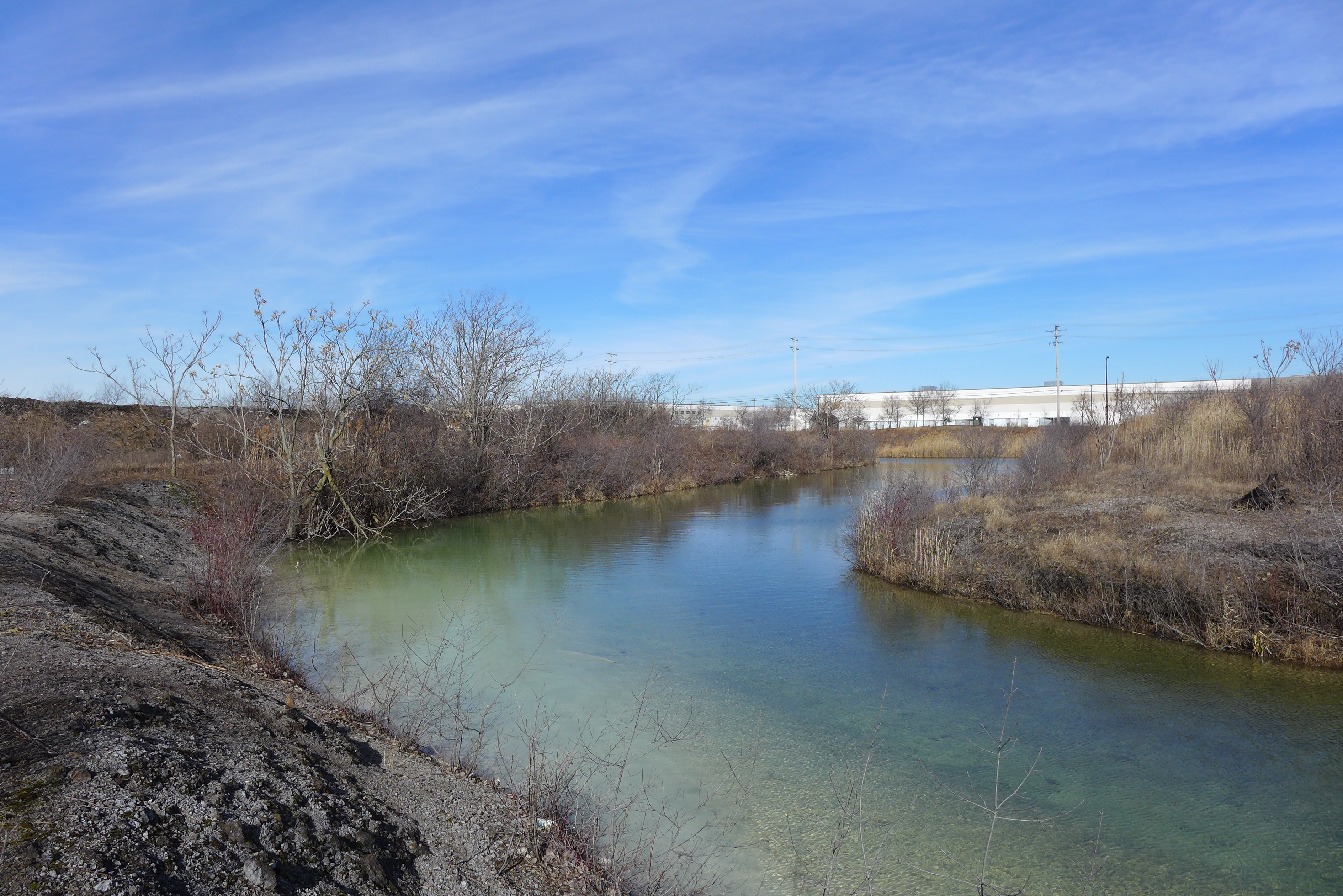
Walk south from the southern end of Wolf Lake, past the roads that peek into residential pockets, past what was overgrown vacant lots — it’s all being rewilded, connecting Wolf Lake to Powderhorn Lake (fig 1). It expands the local wetland complex, but in a different direction than the historical baseline. Why? Because Powderhorn Lake is human-constructed, so there was never a connection between these bodies of water before.


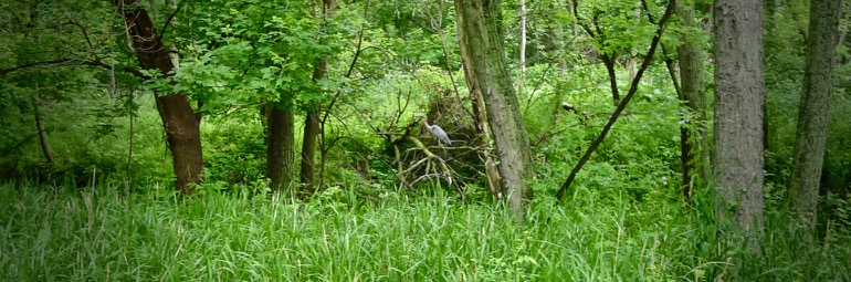
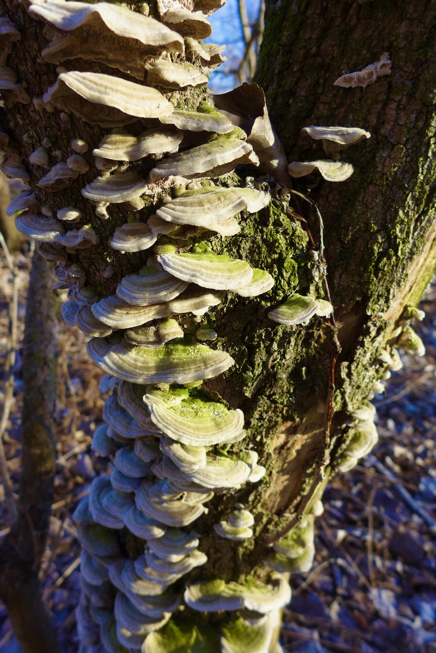
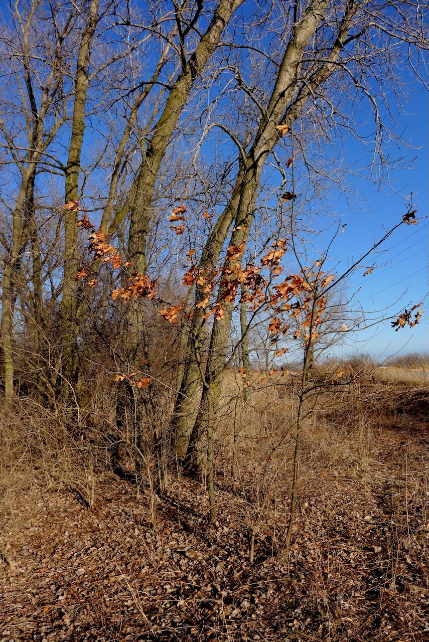
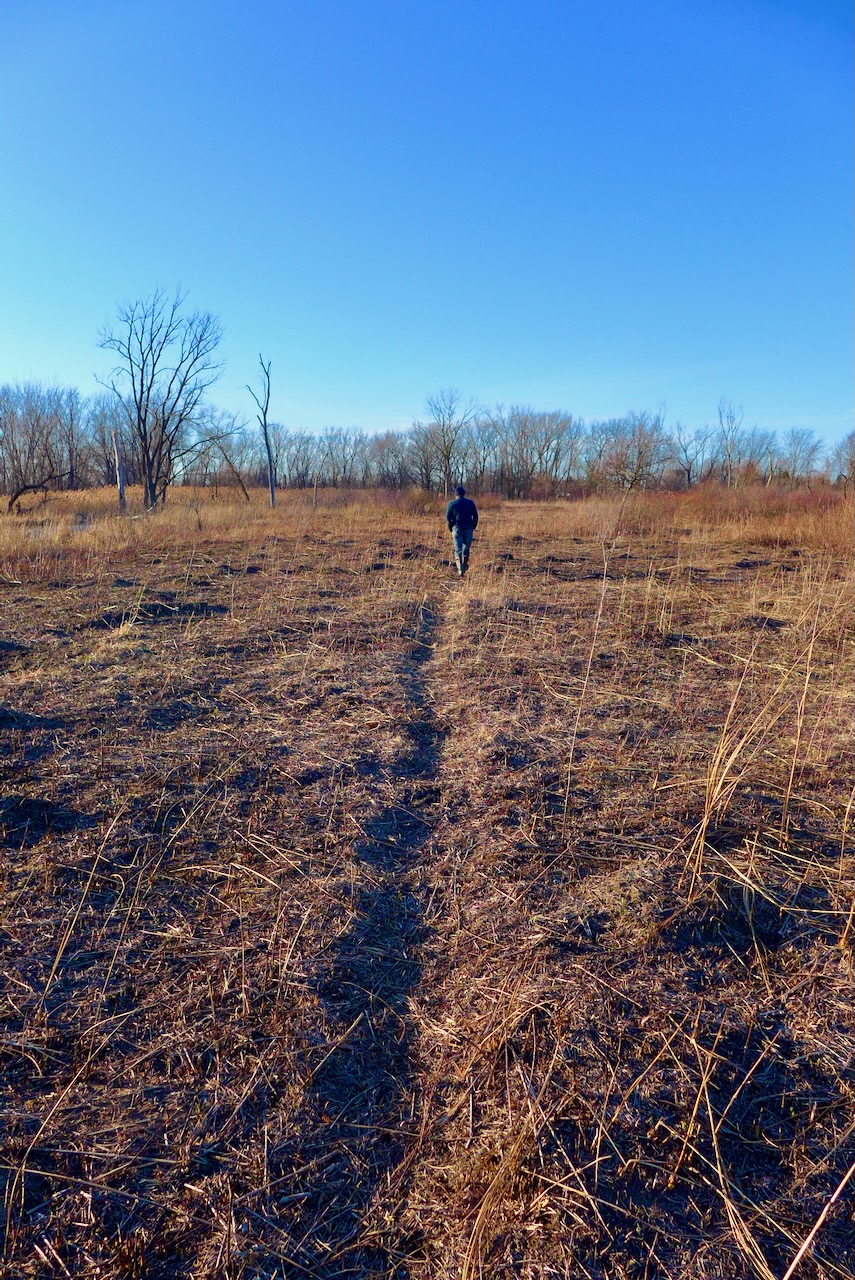
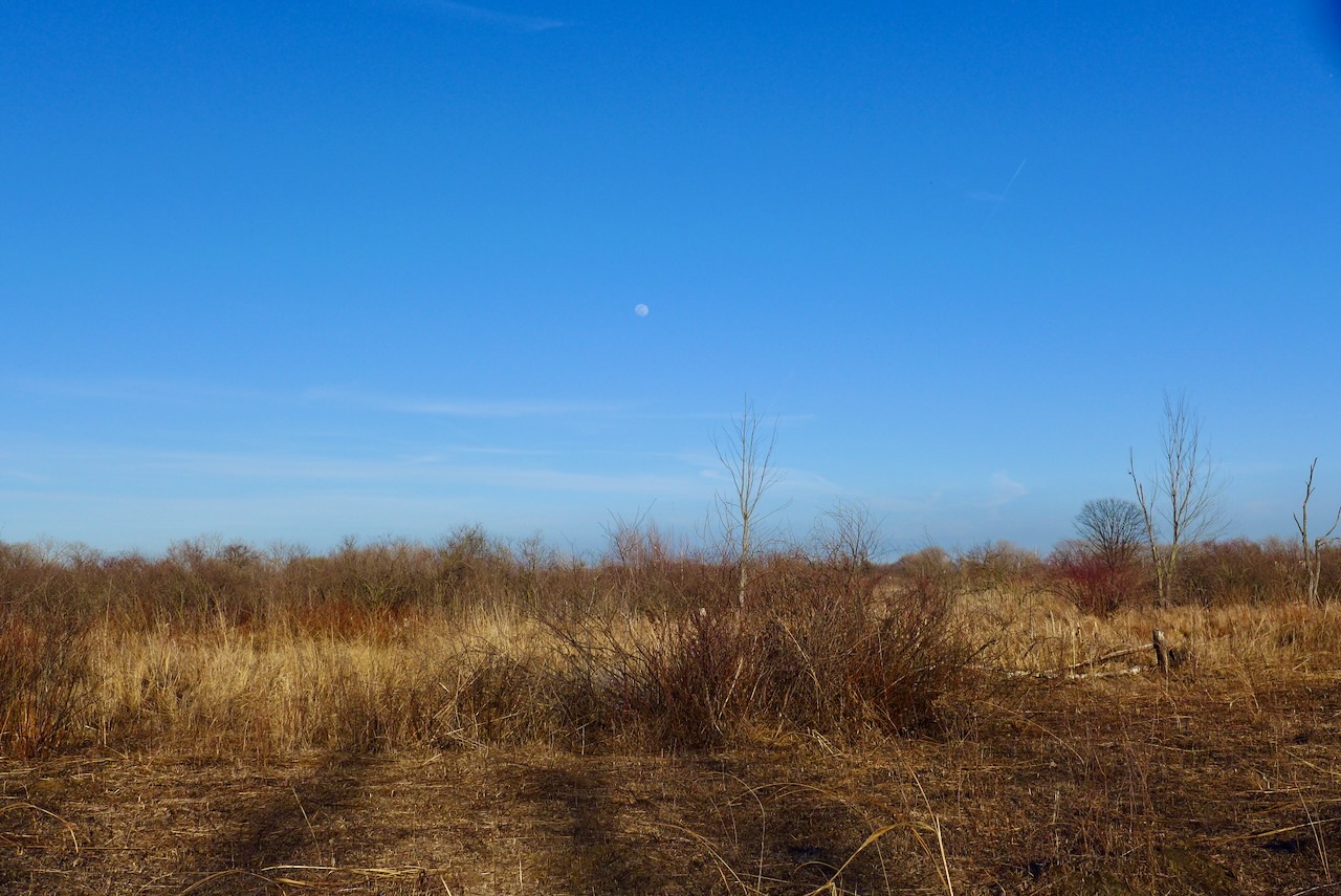
We started in the greenspace north of Powderhorn Lake (though quite brown this time of year).
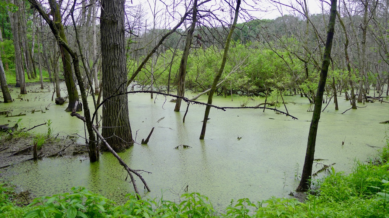
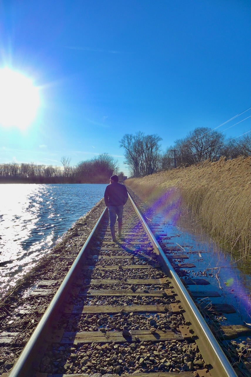
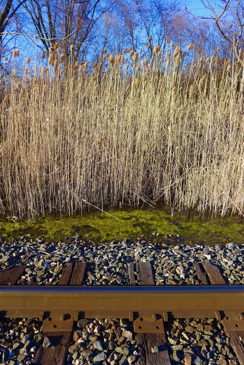
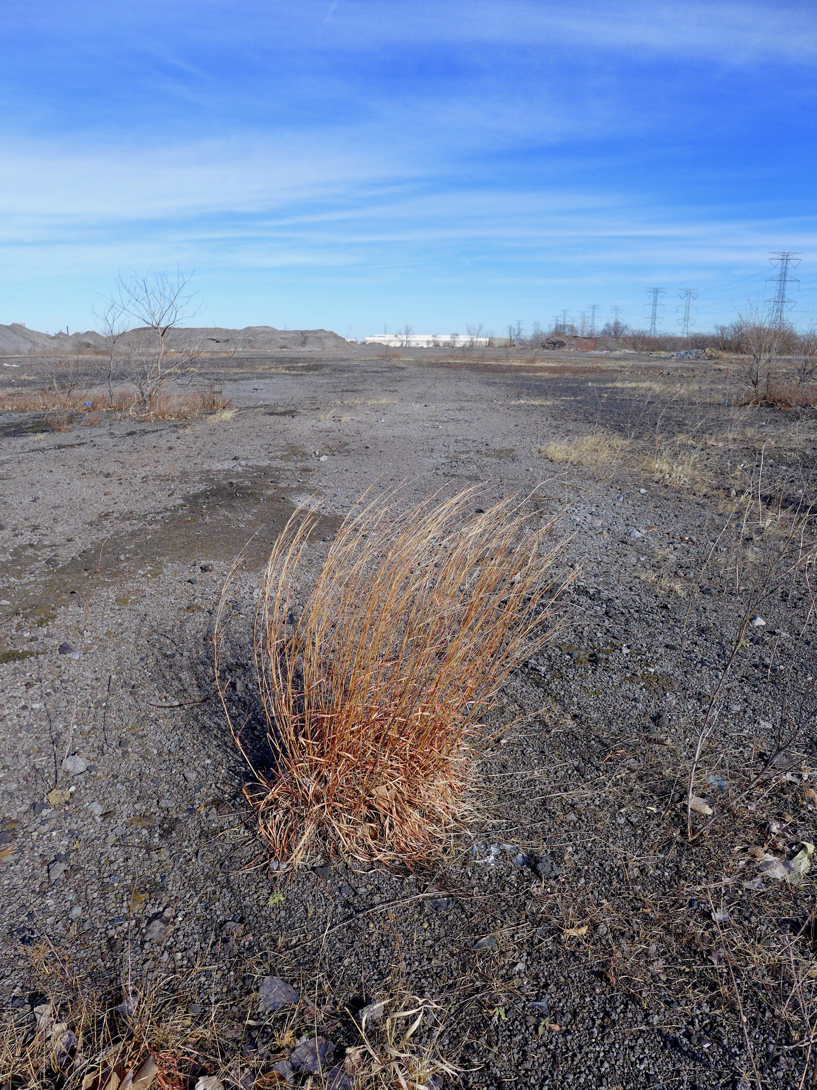
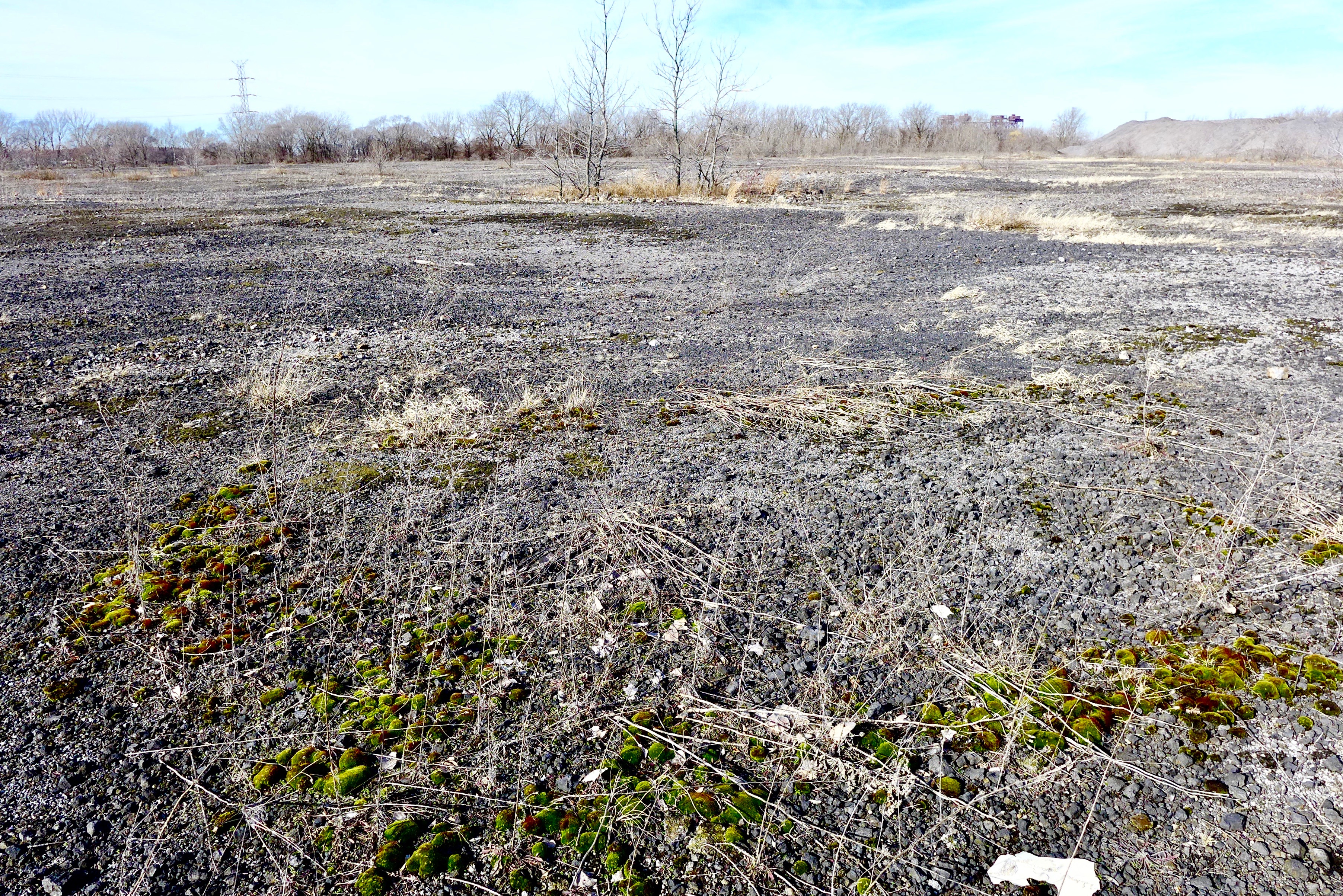
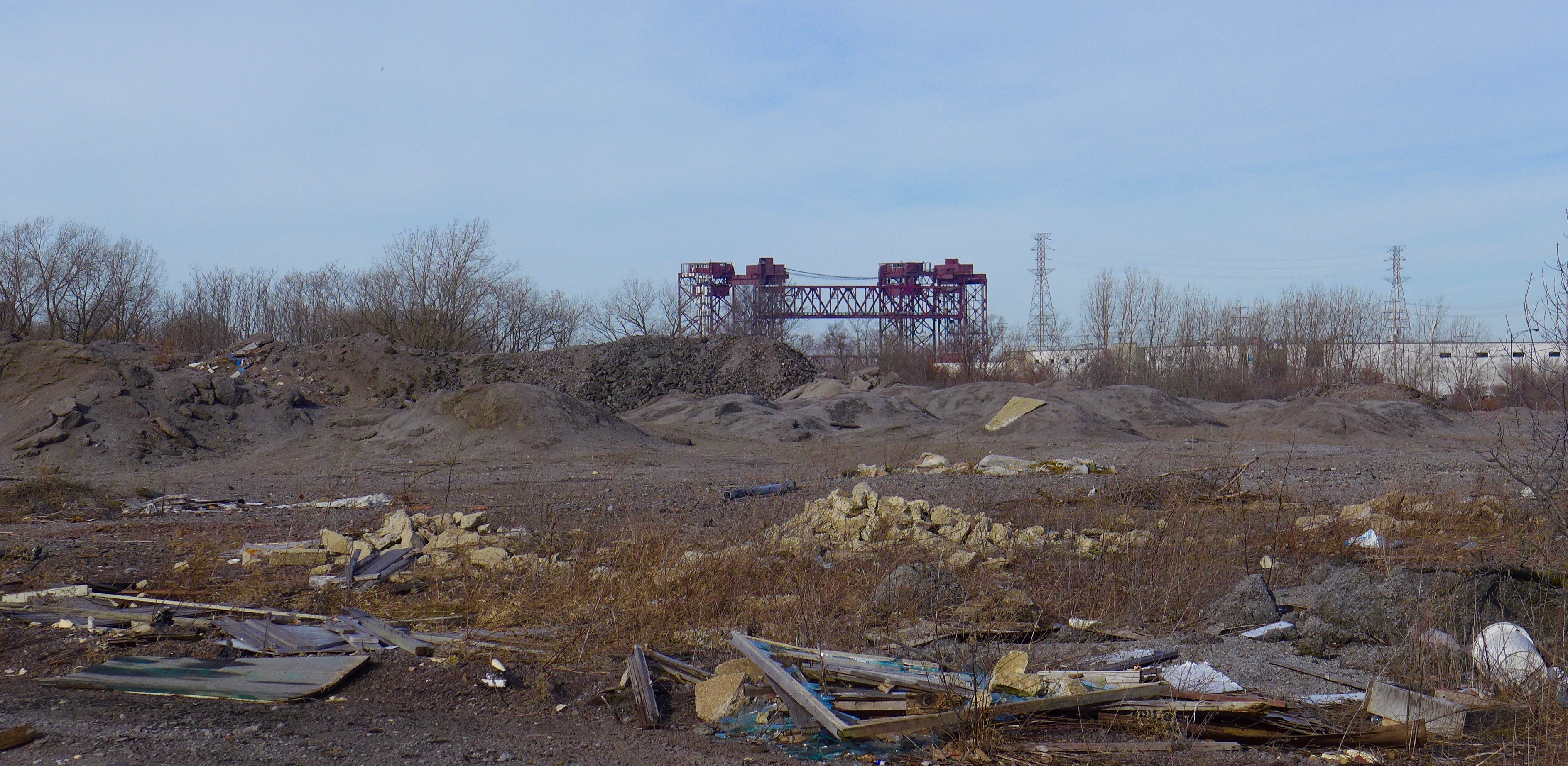
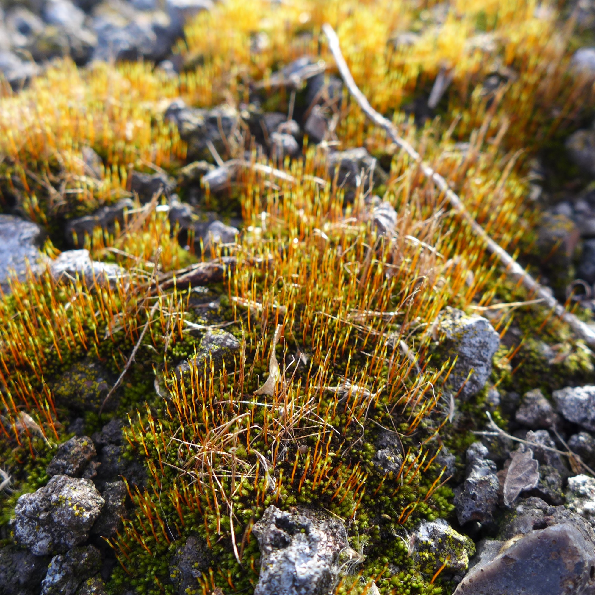
We came out from the buckthorn and Phragmites to a railroad track on the north side of Powderhorn Lake.
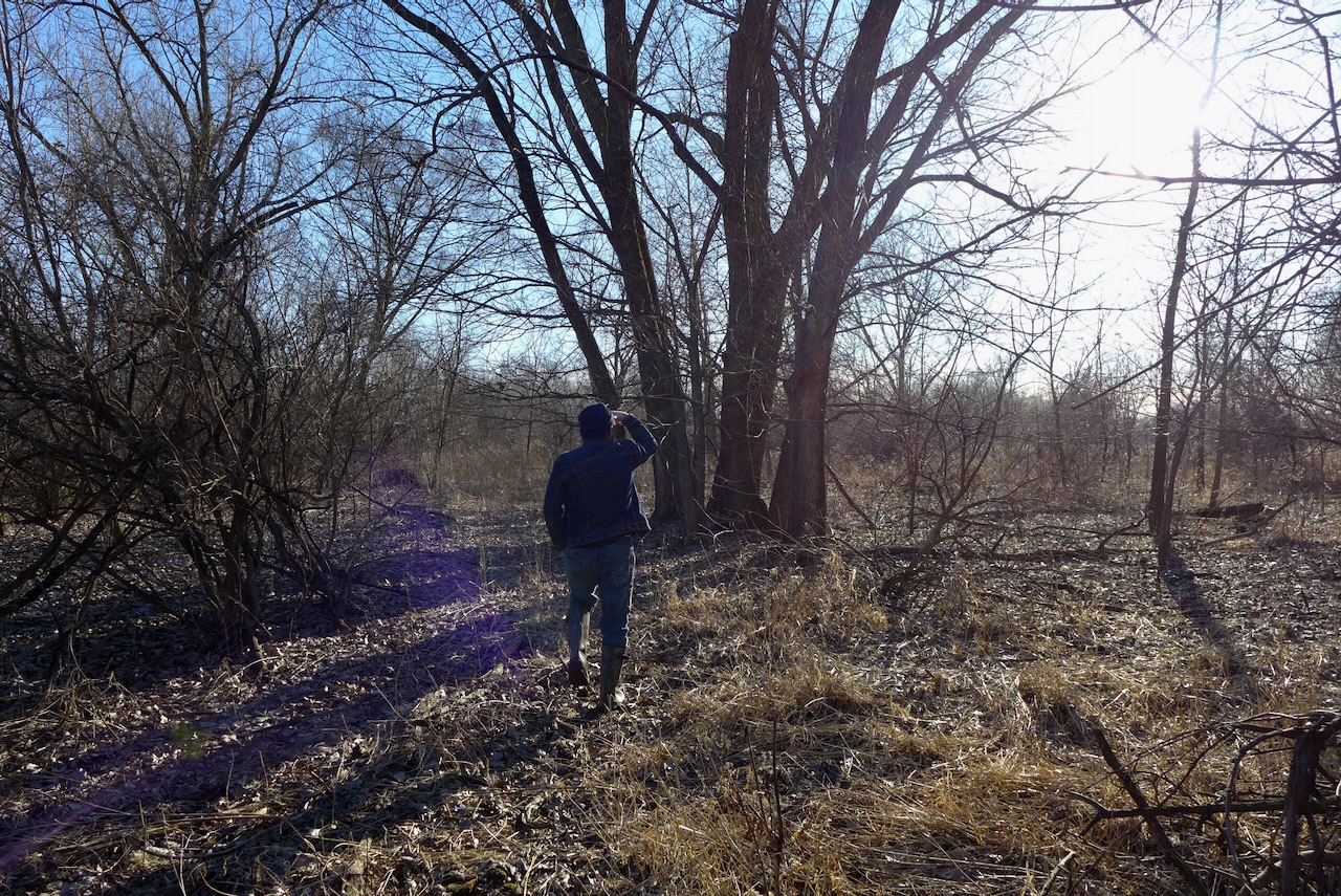
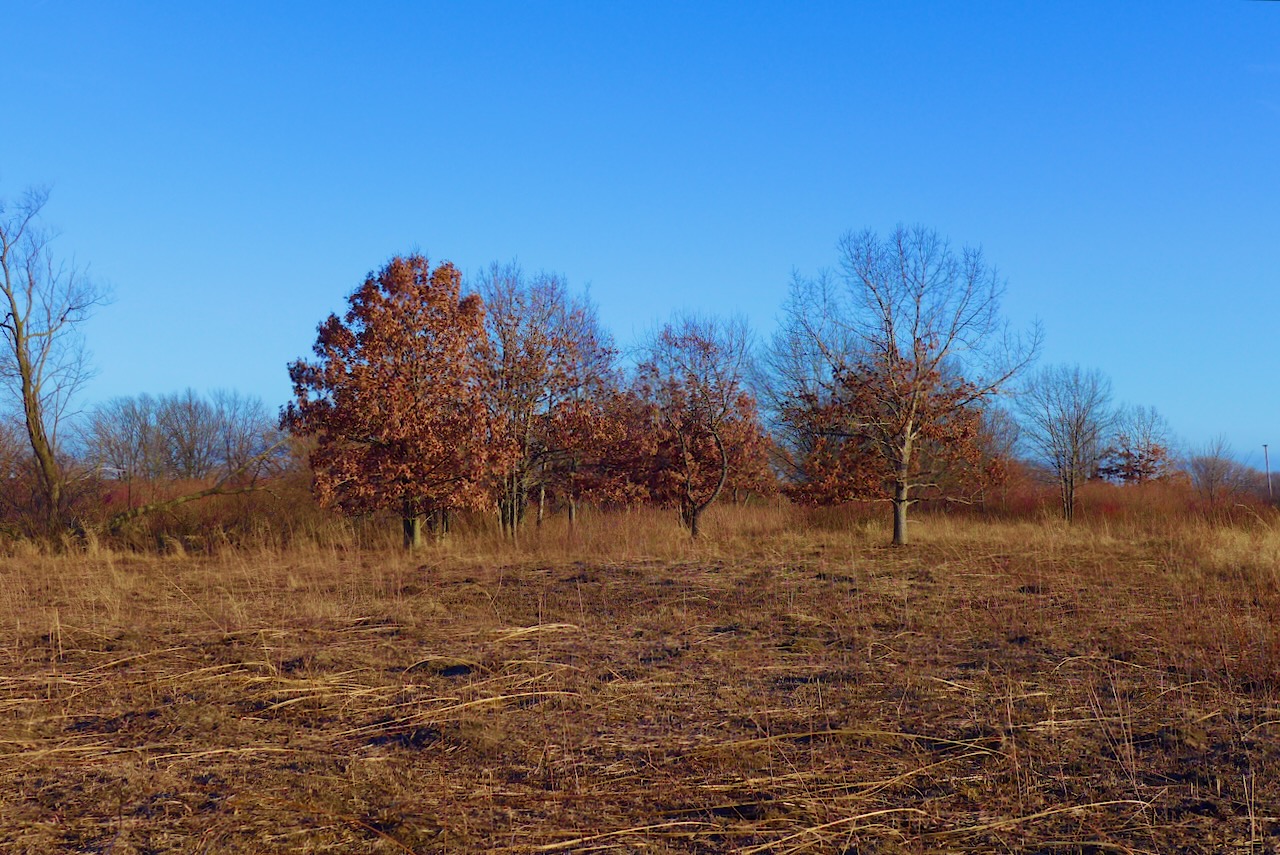
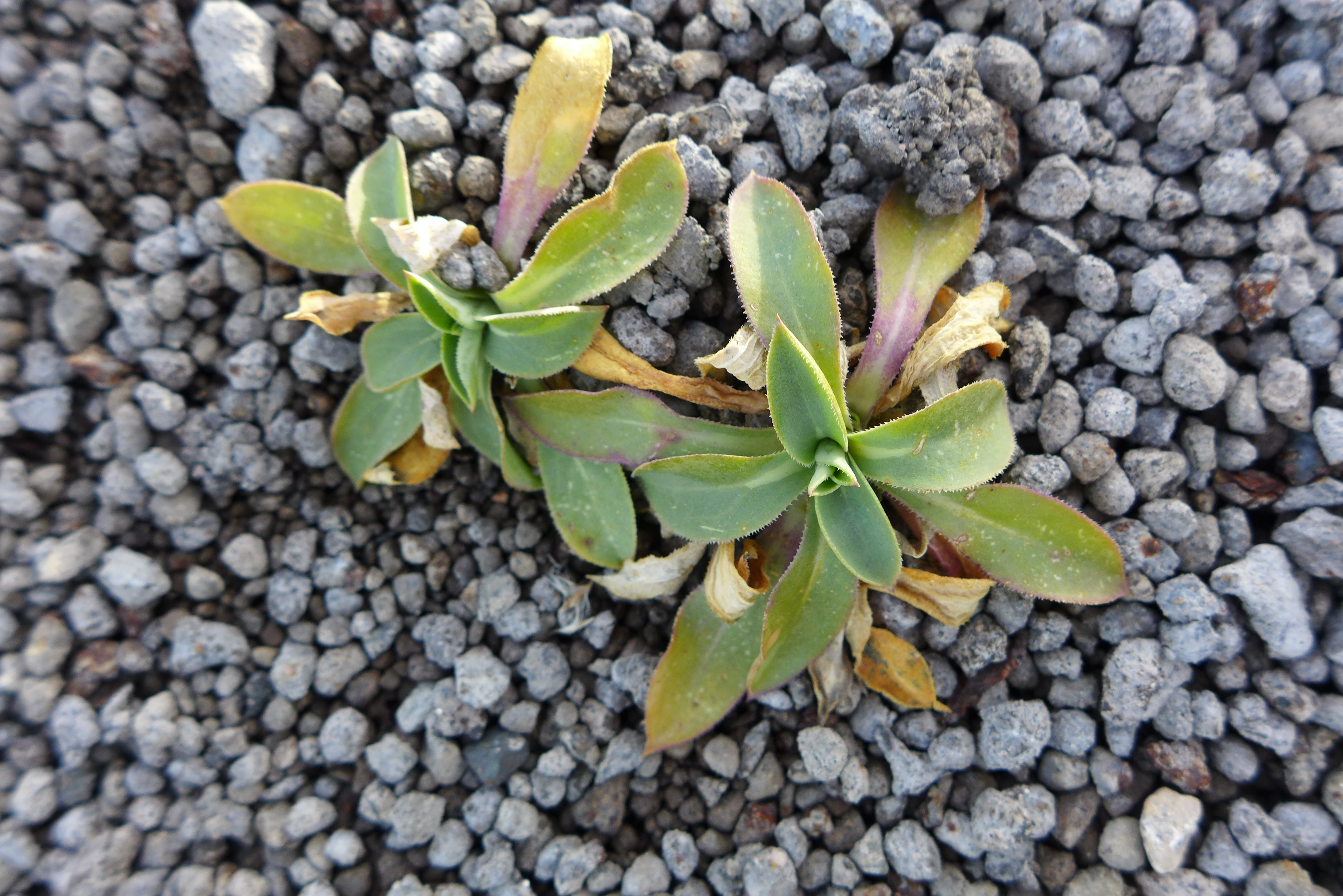
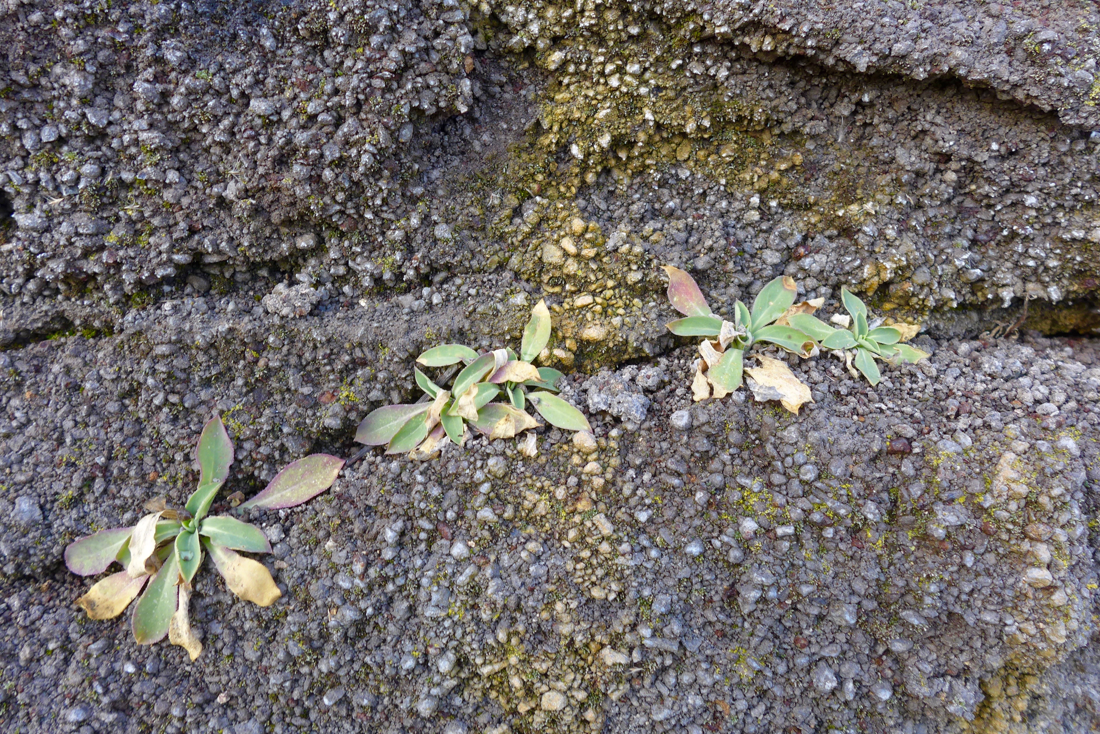
The dune and swale that you see on the map, looking like a ridged swamp, to the west of Powderhorn Lake- that dune and swale is still there! This is a long finger of oak savanna heading to the southeast.


")
")
")
")
")

")
")
")
")
")