I didn’t remember that we had visited here in May before, but check out May 2017 to see what we found here a few years ago!
I didn’t remember that we had visited here in May before, but check out May 2017 to see what we found here a few years ago!

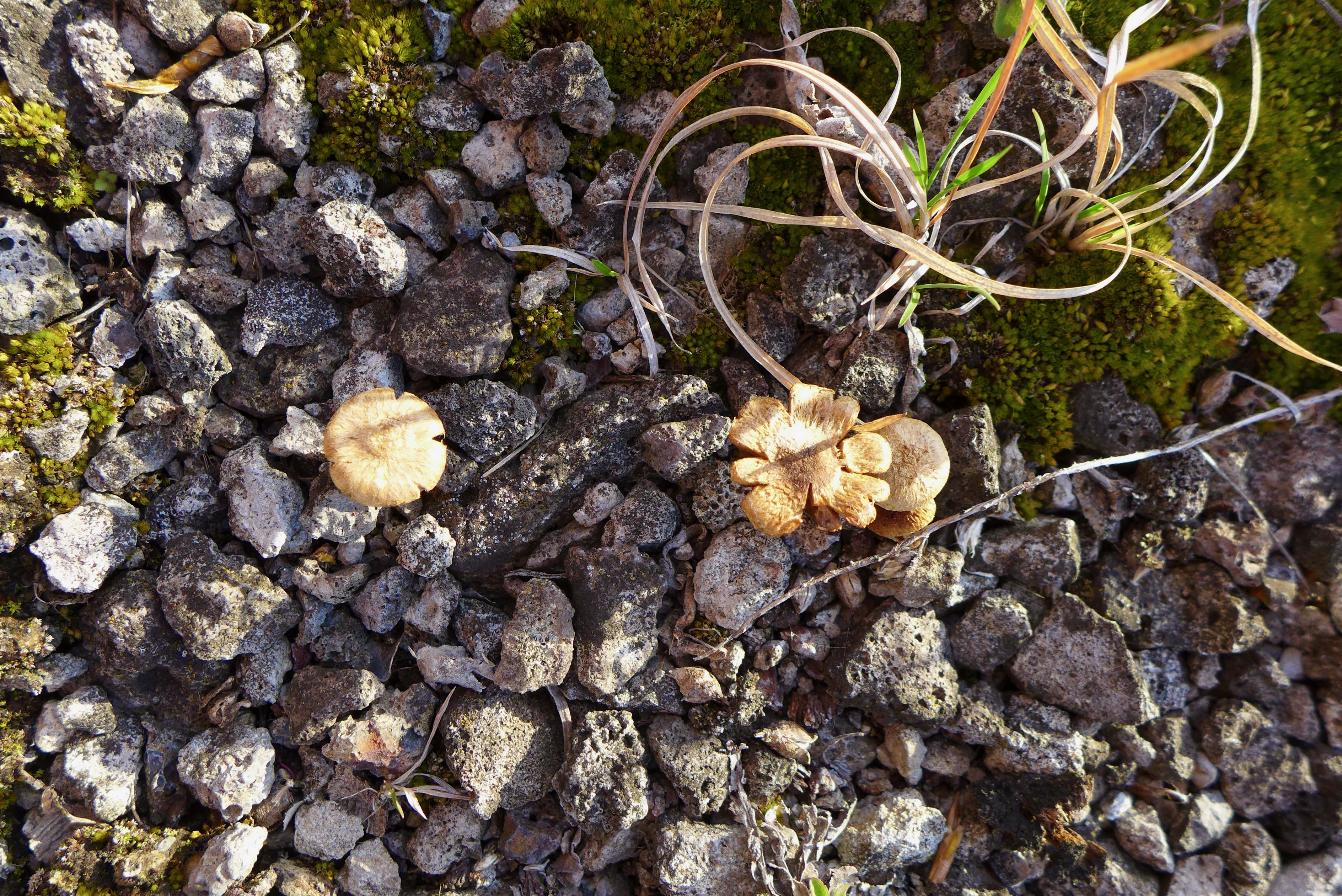
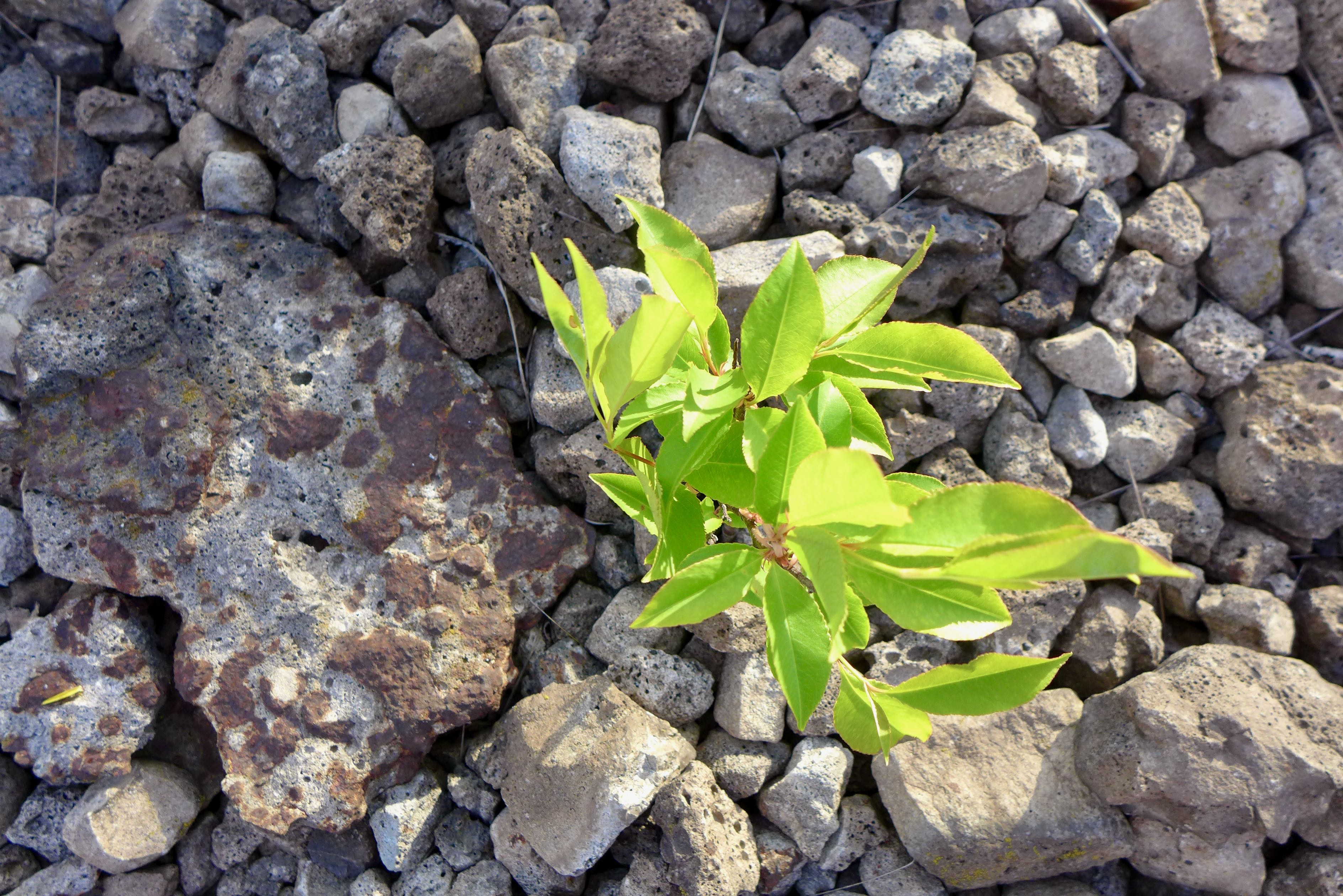
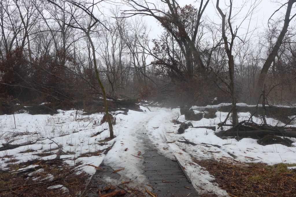
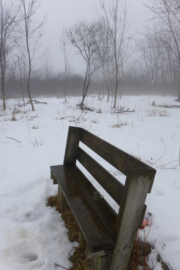
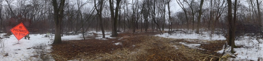
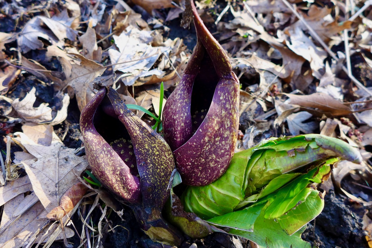
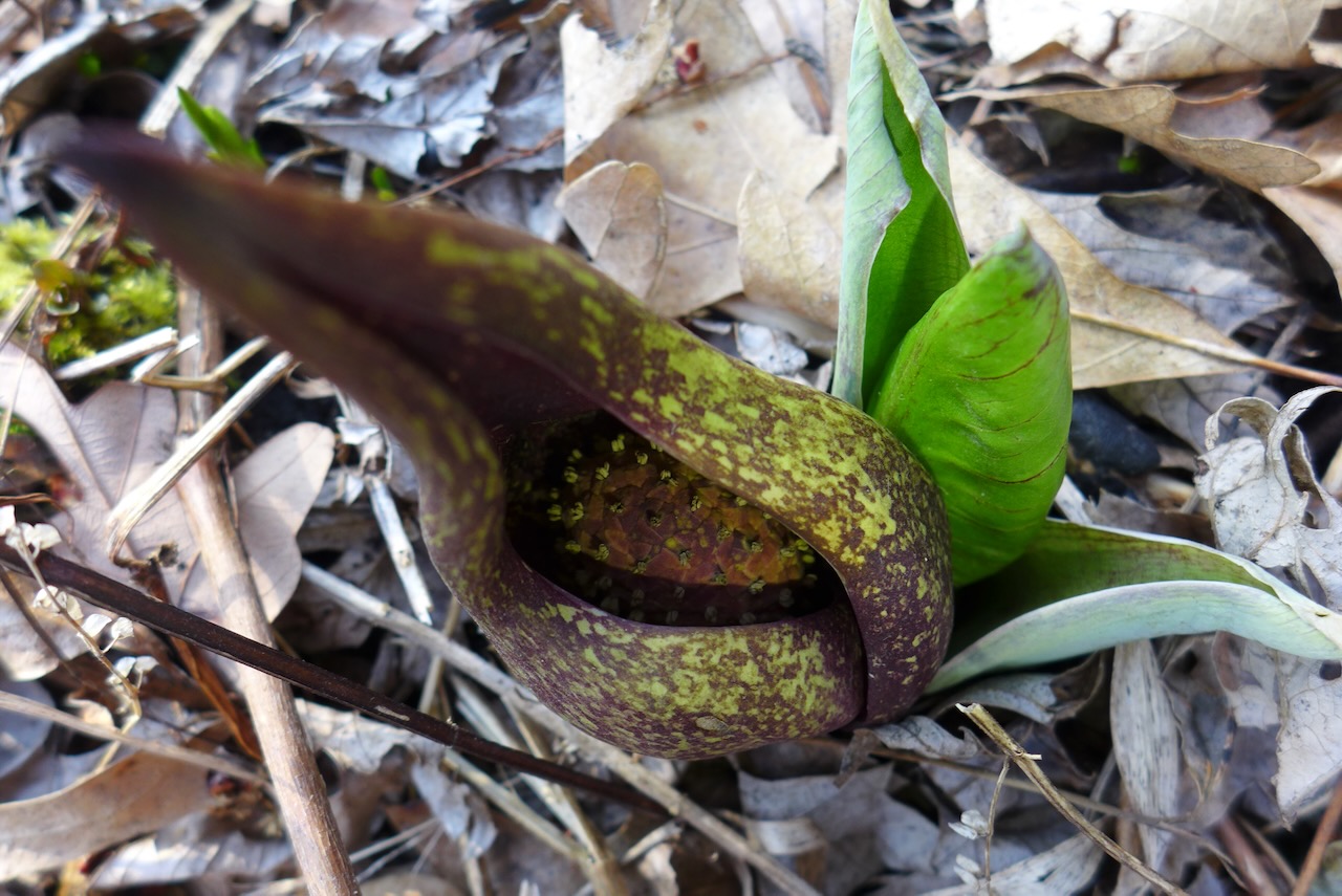
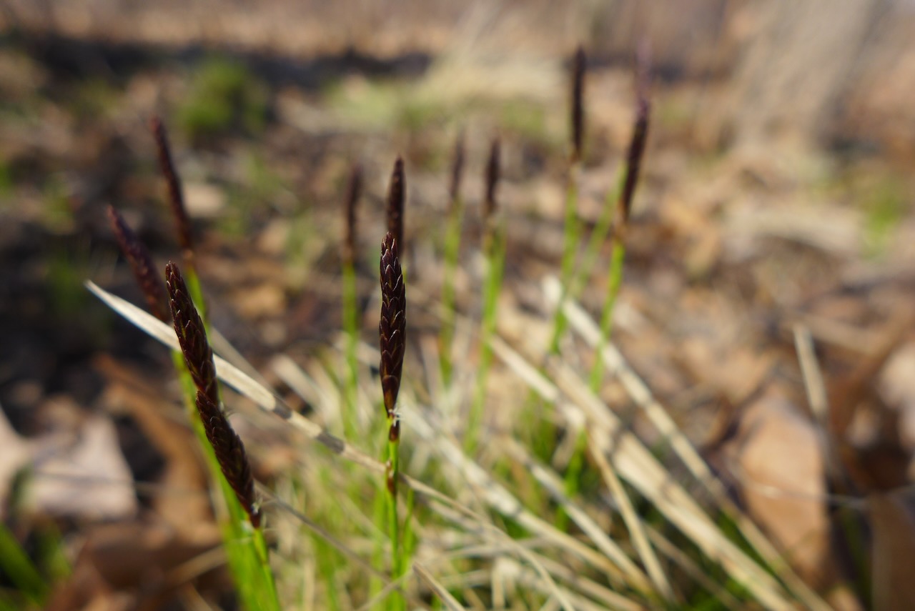
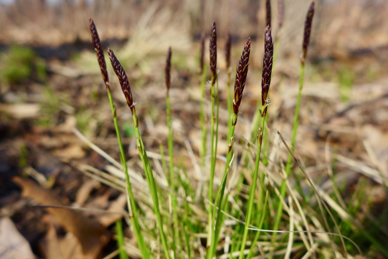
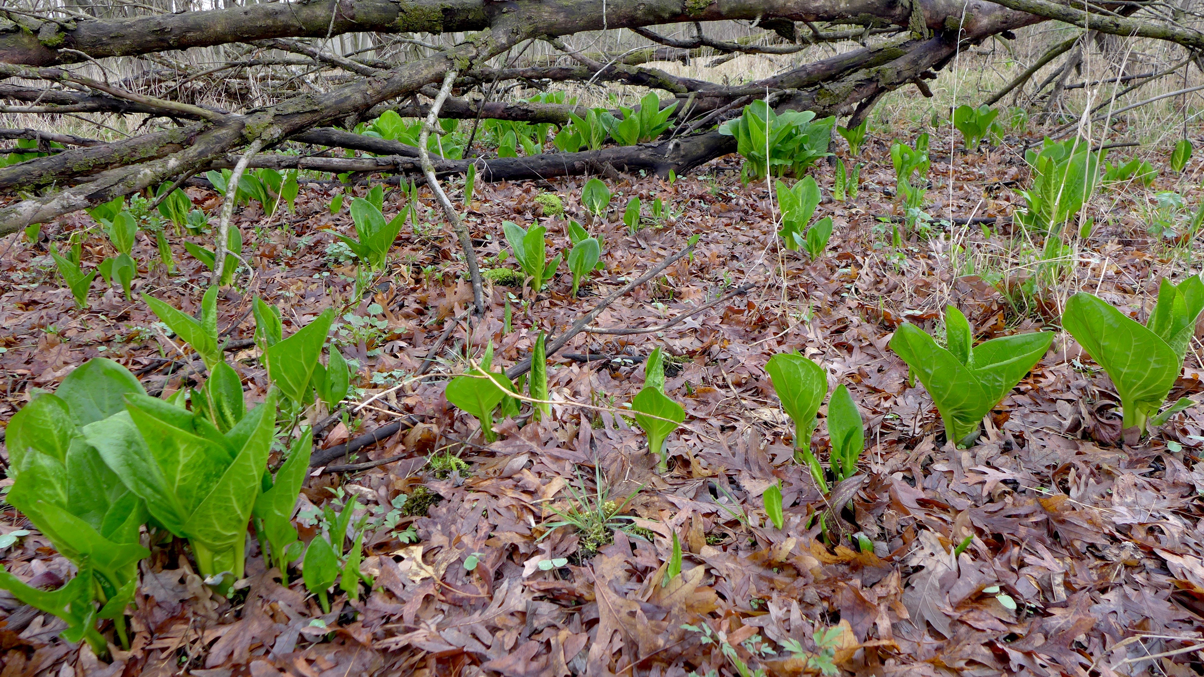
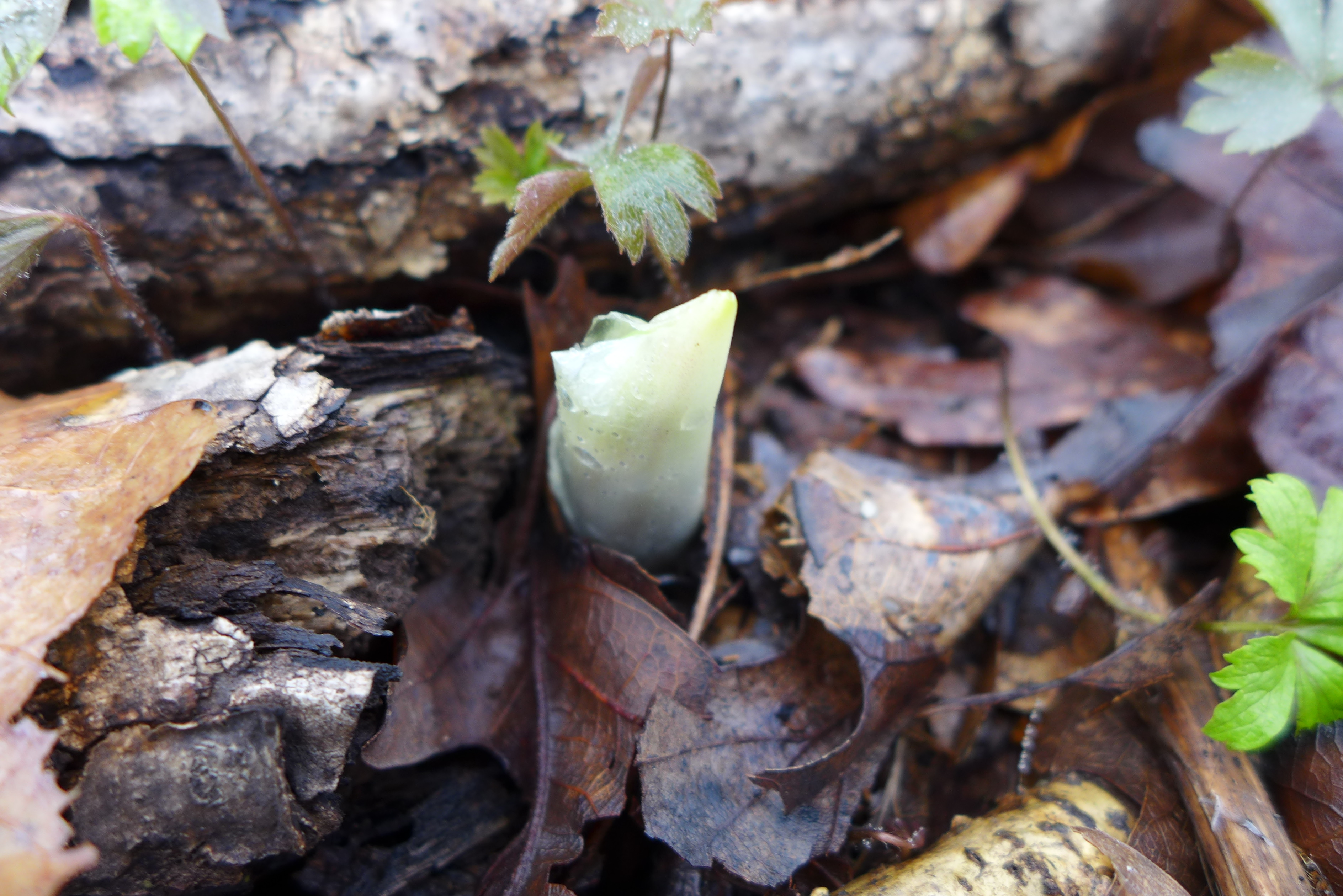
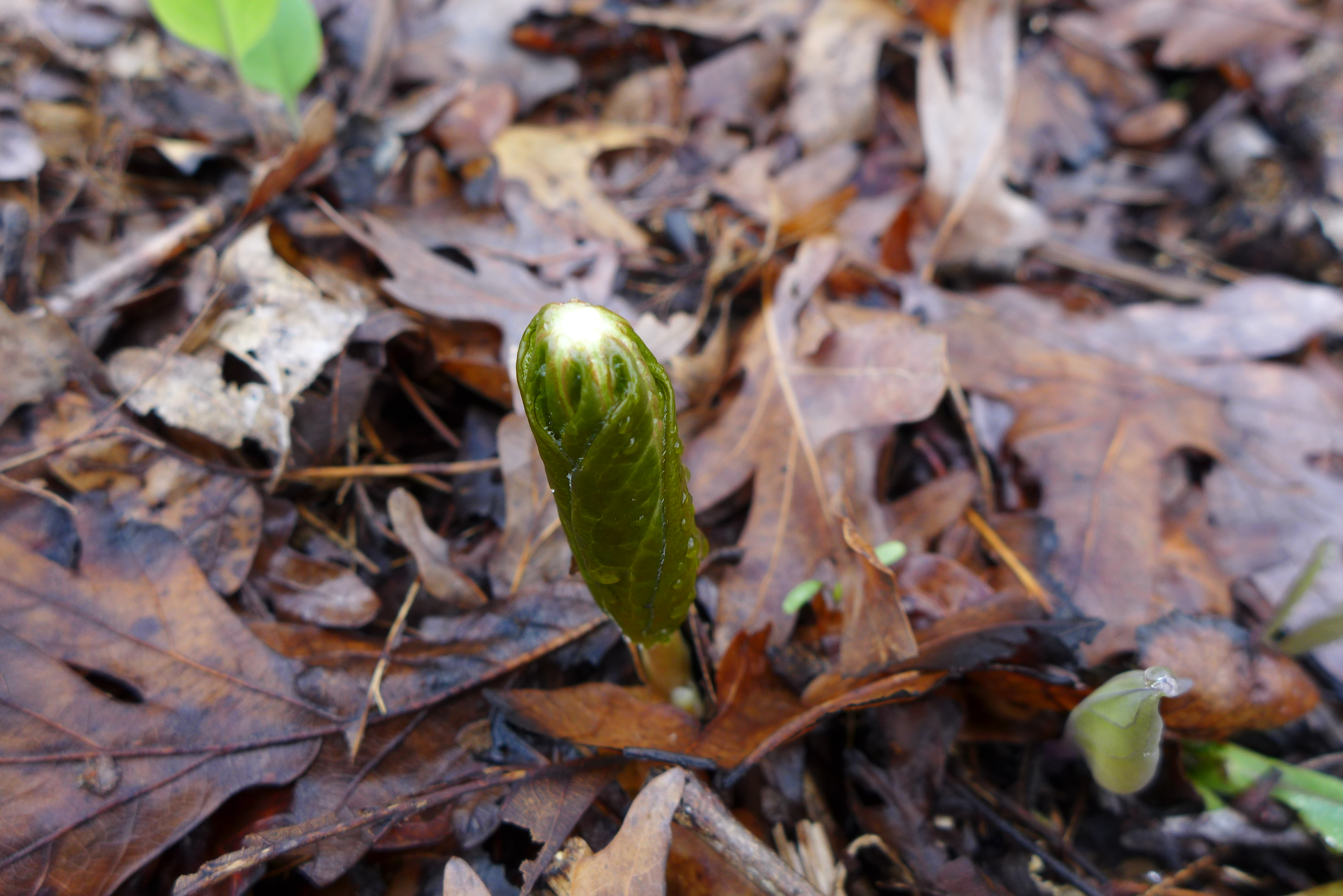
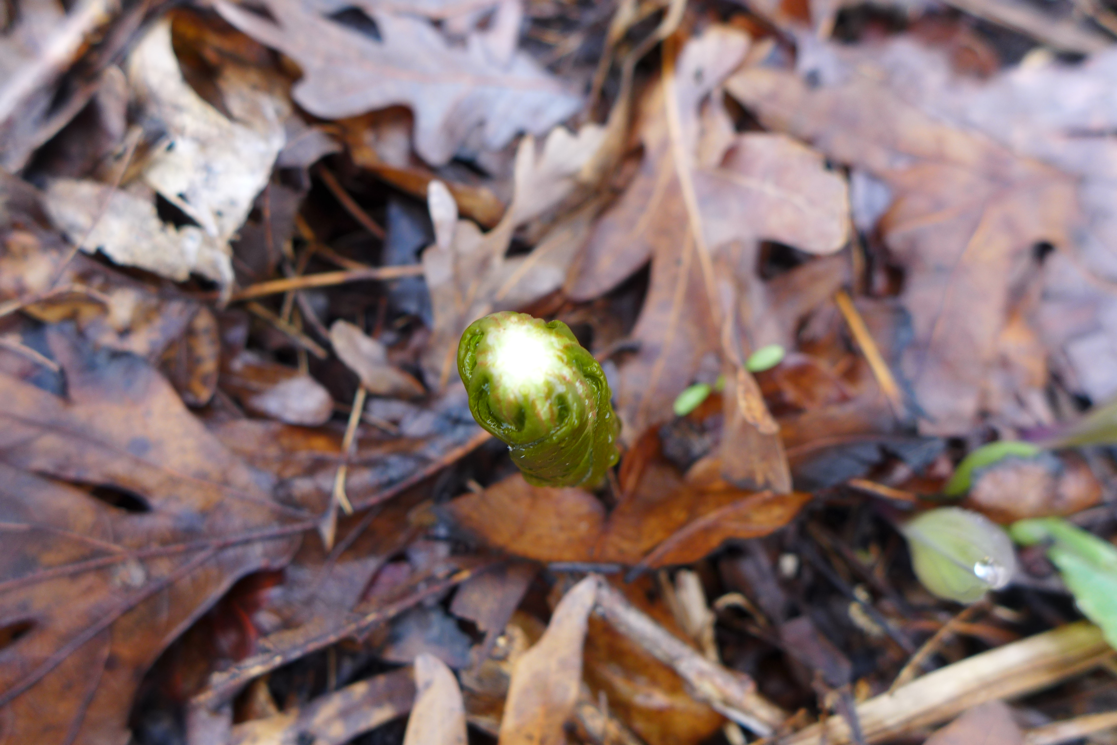
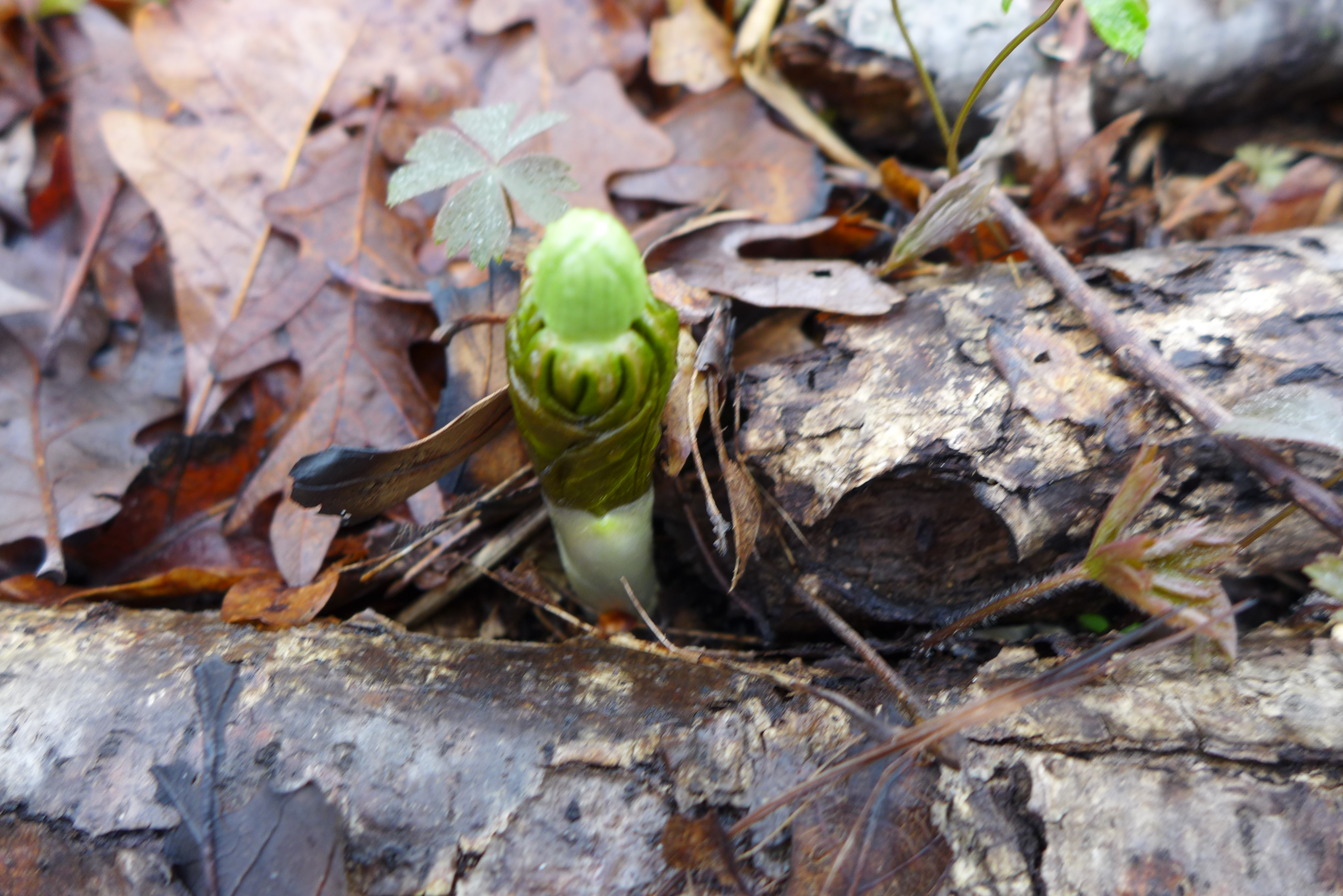
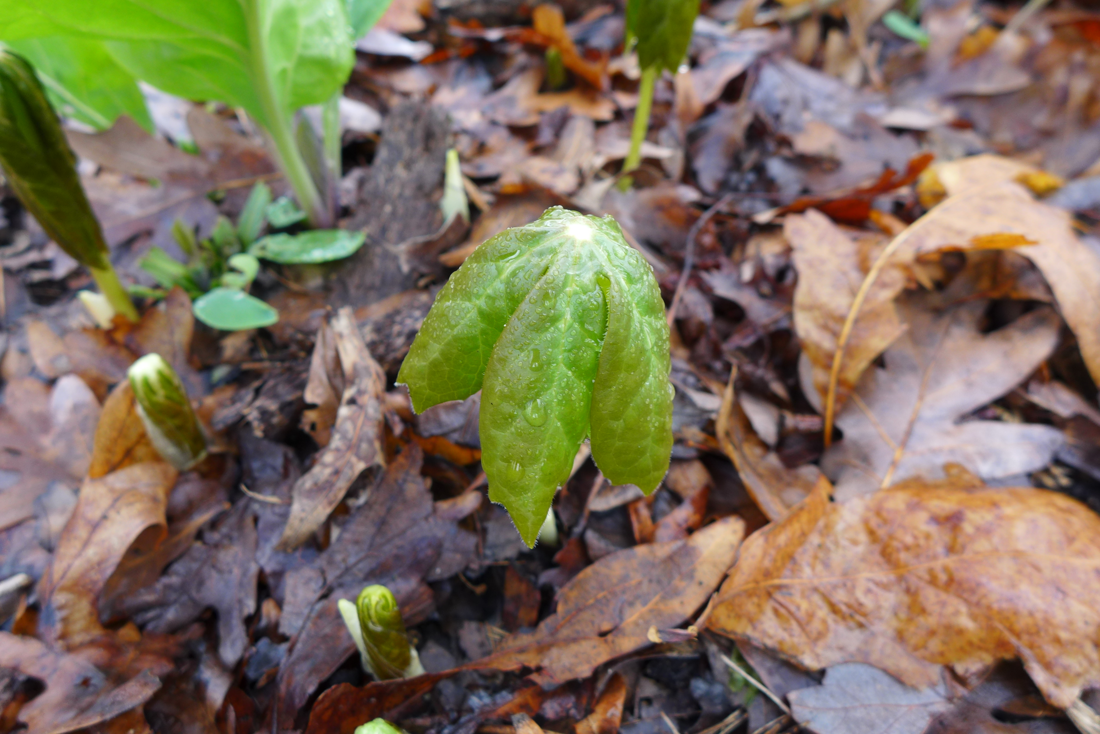
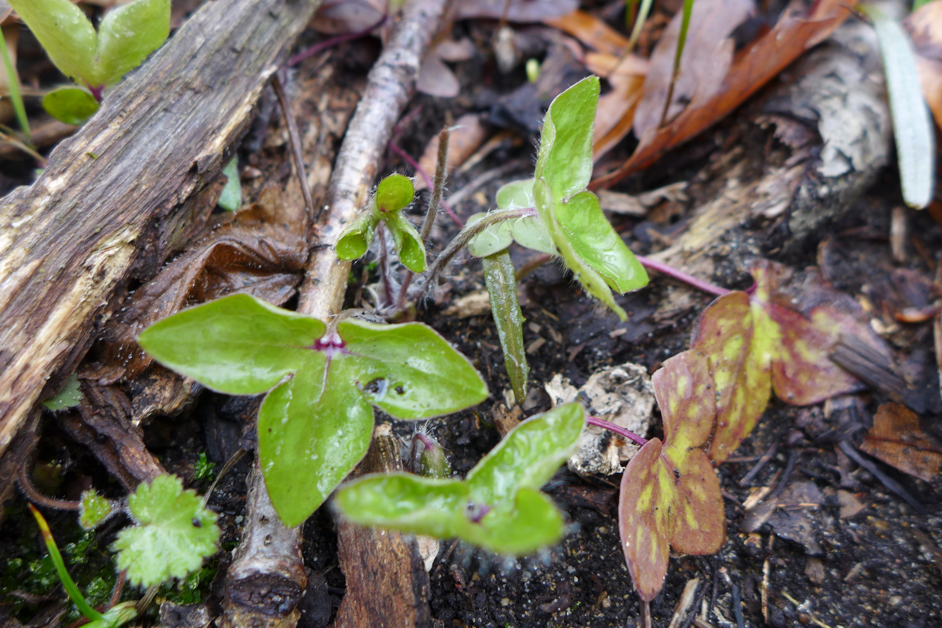
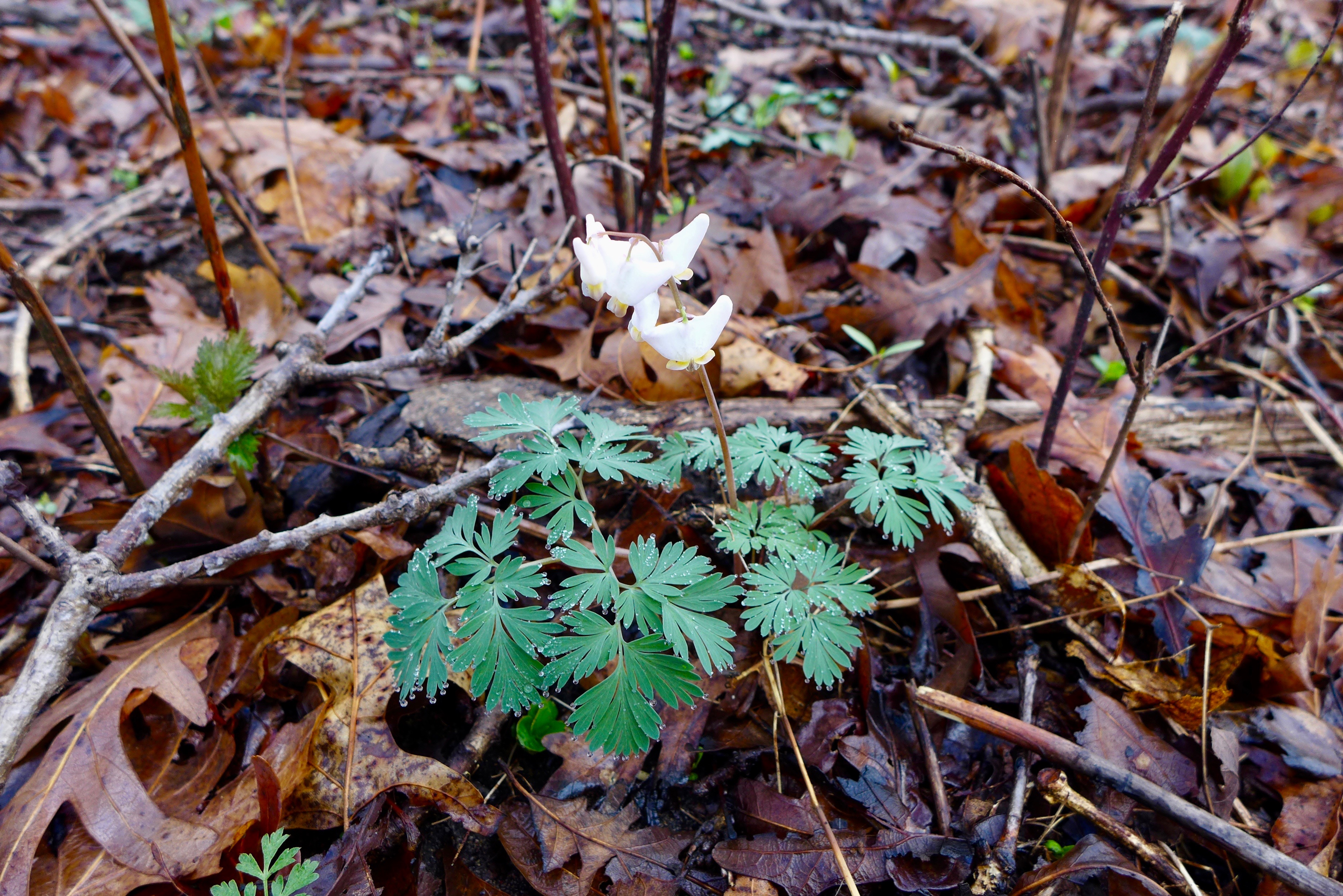
Early in the year yields many trips to the Sand Ridge complex in Calumet City – for wetlands with the year’s earliest flowers, skunk cabbage, and sandy woodland openings with the beginnings of spring ephemerals.
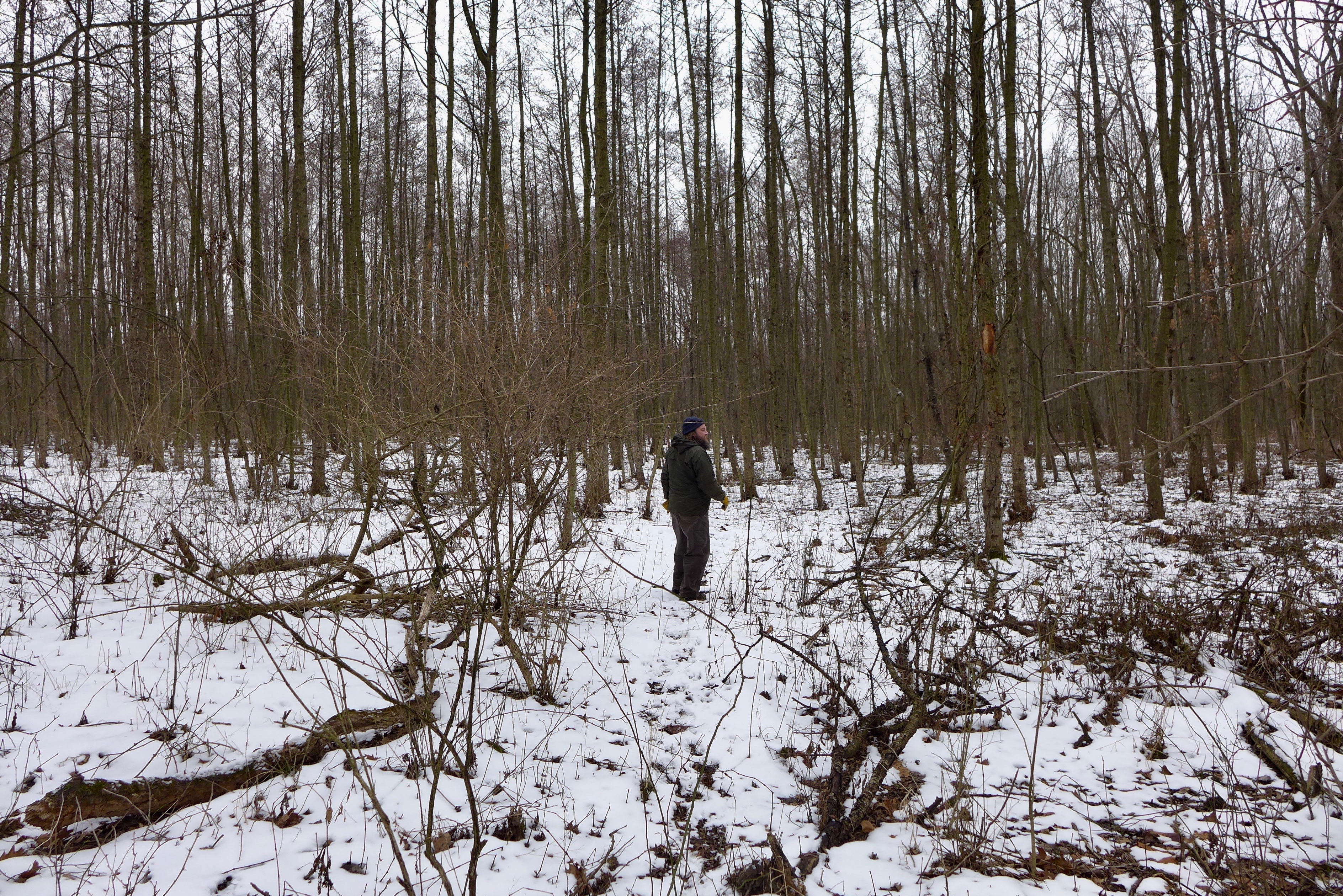
February 28

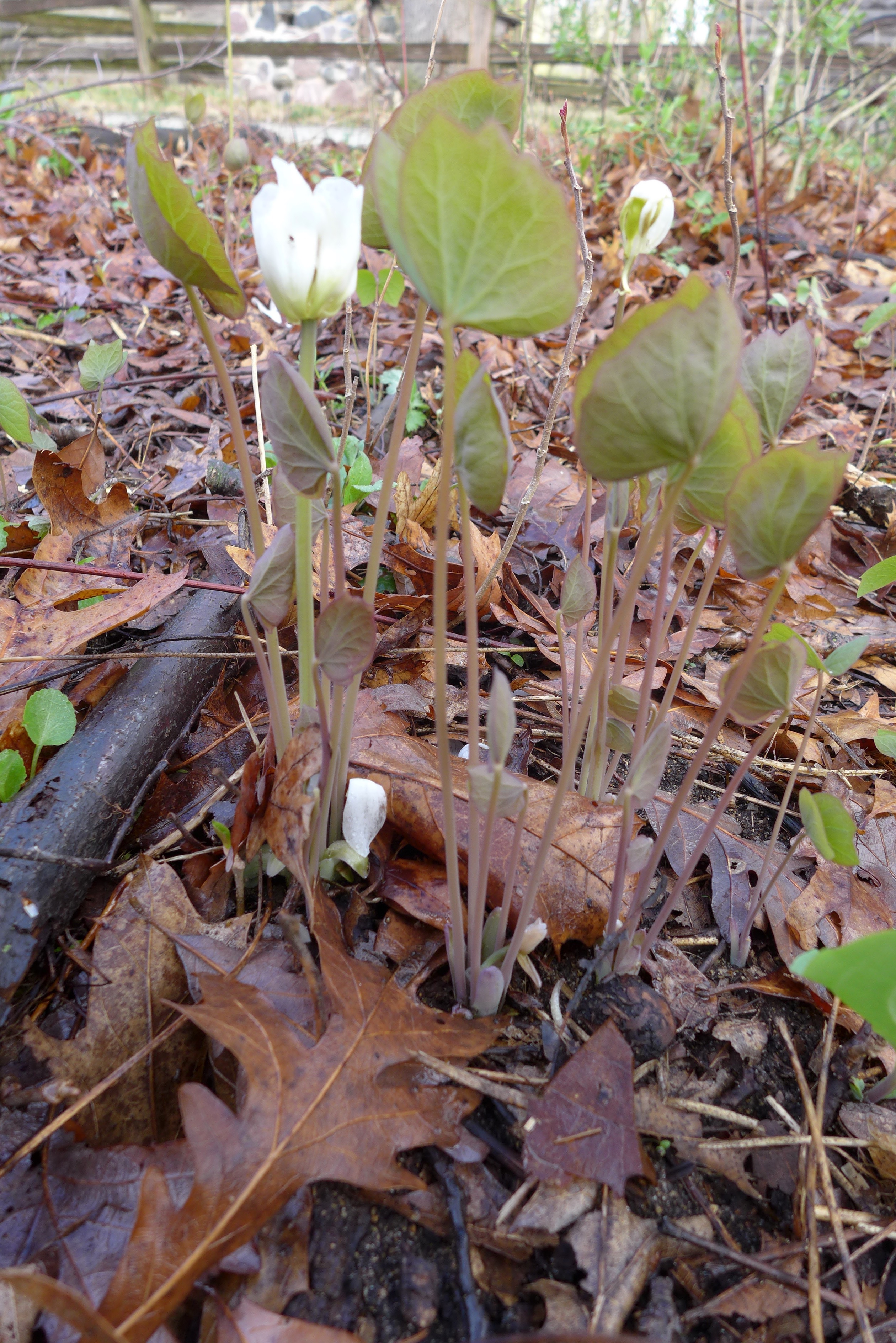
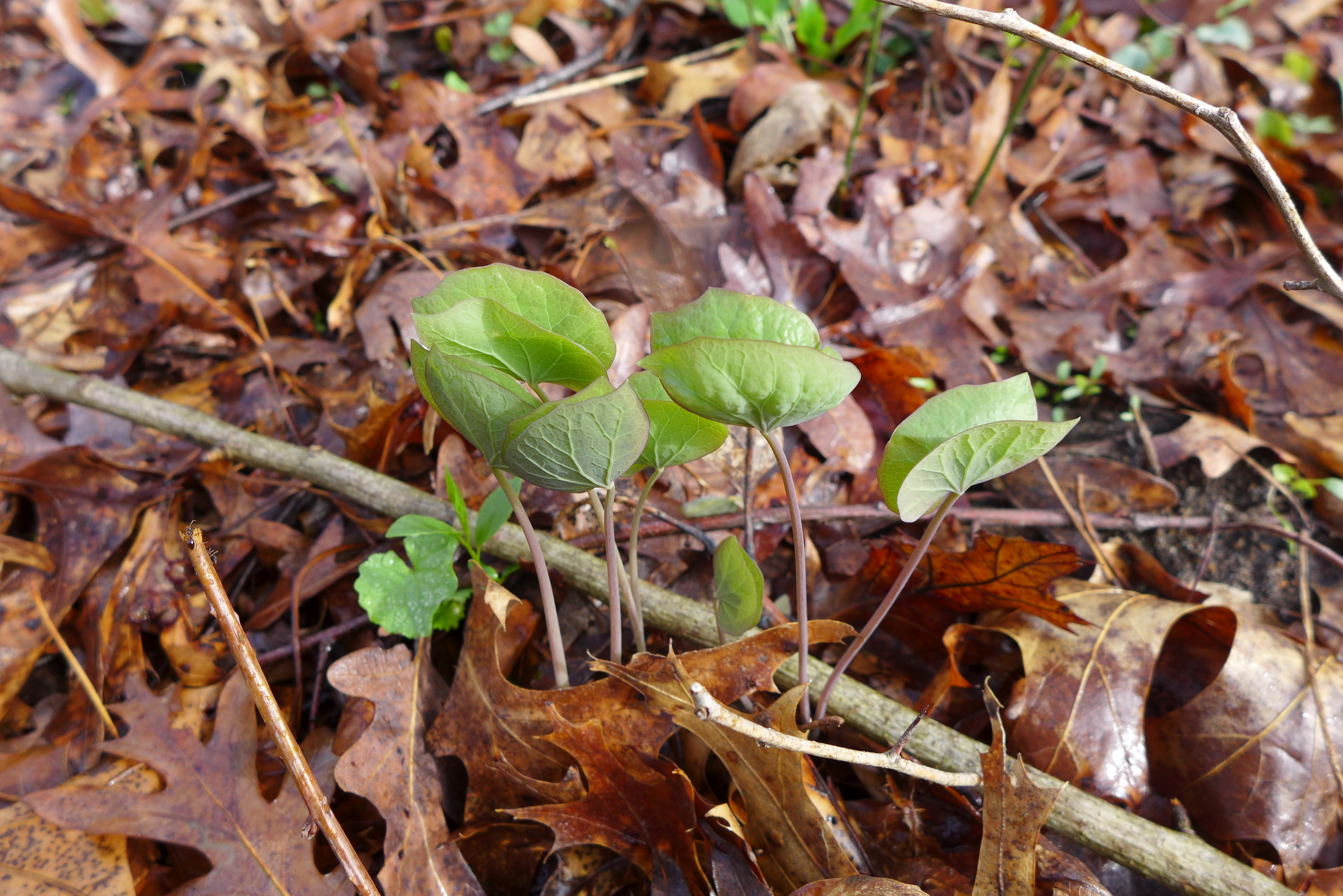
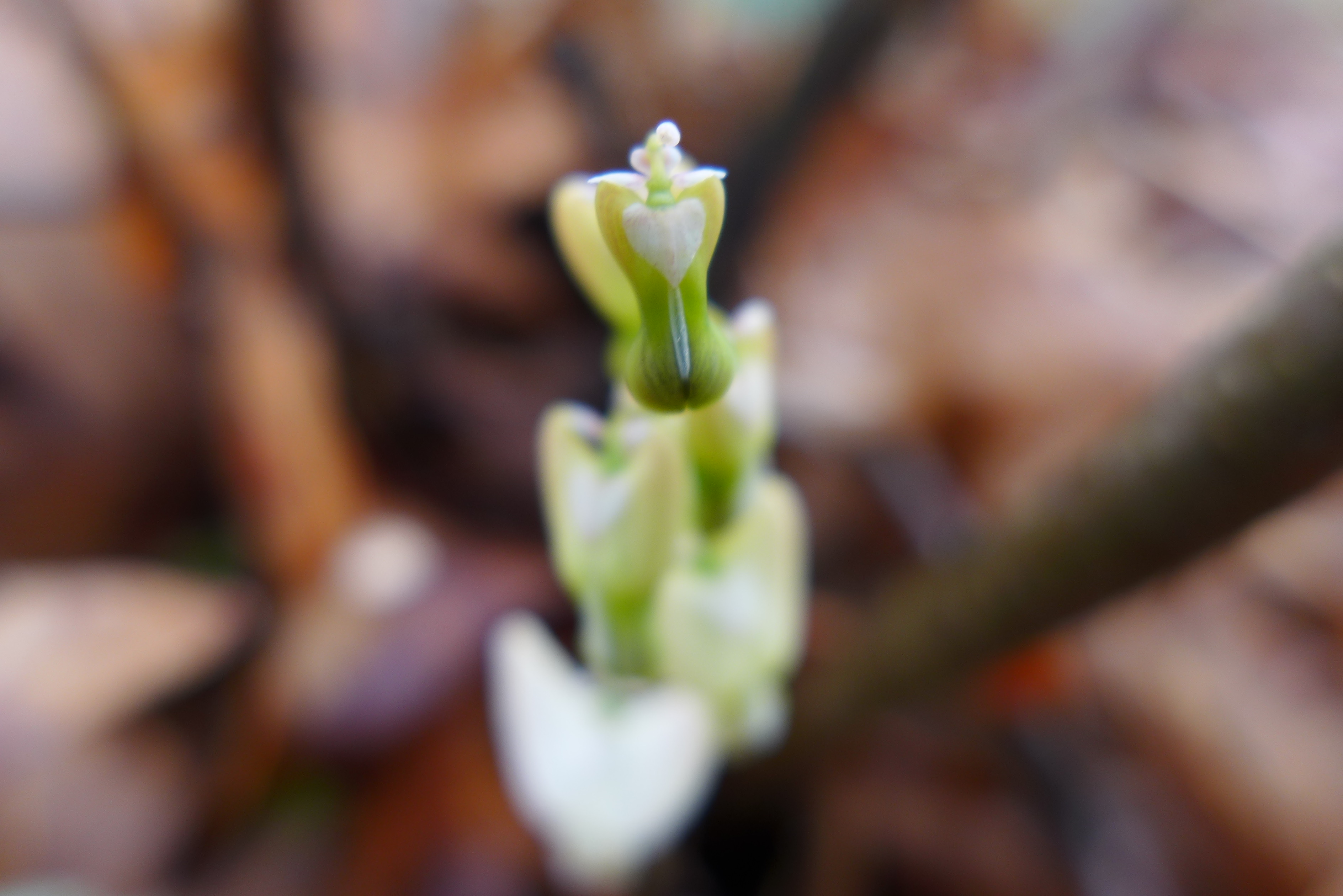
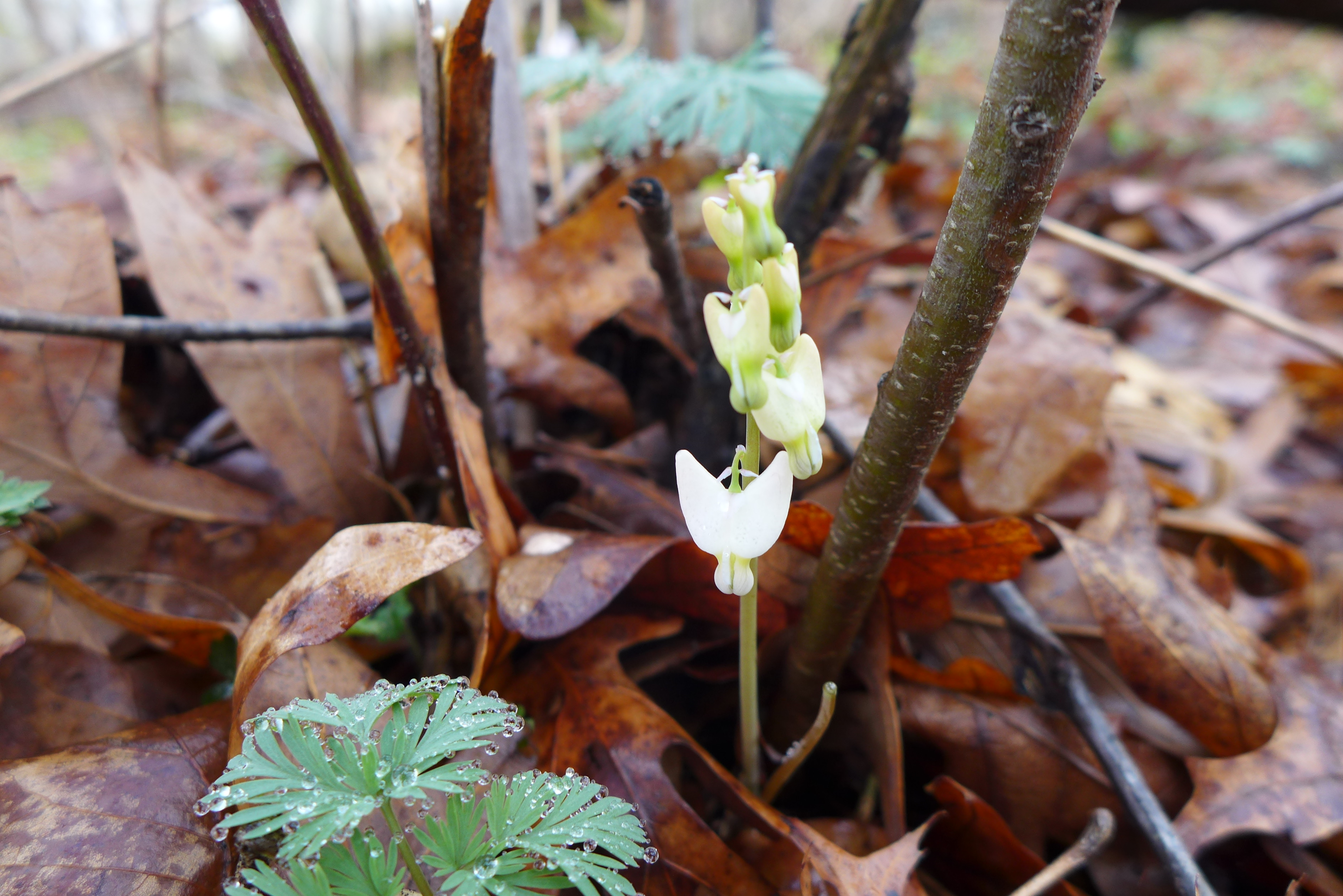
April 4
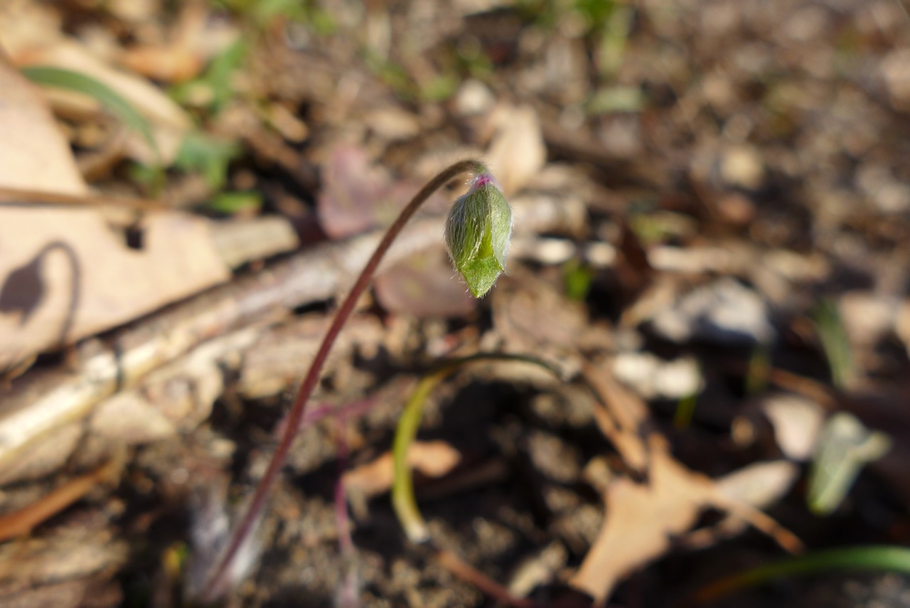
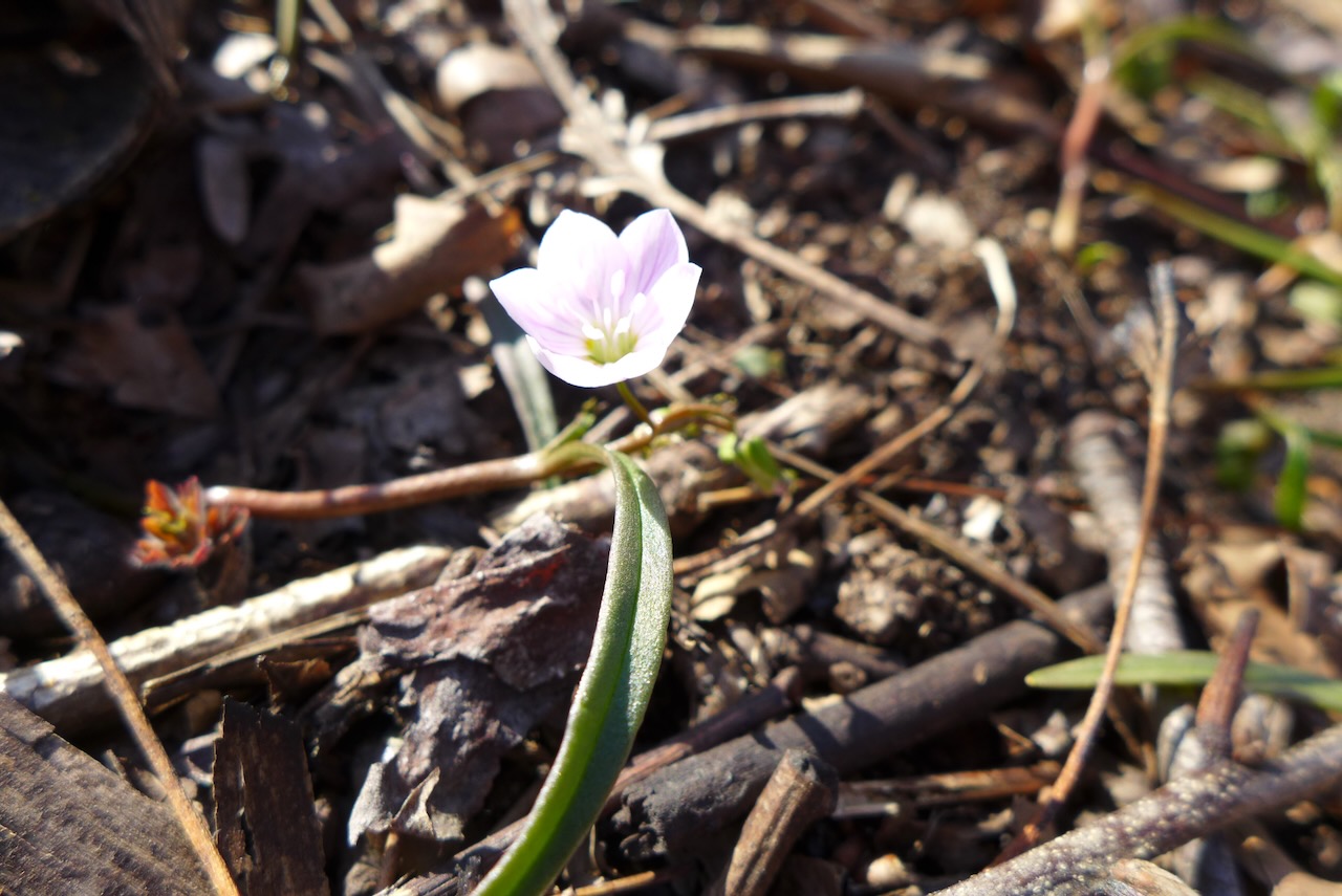
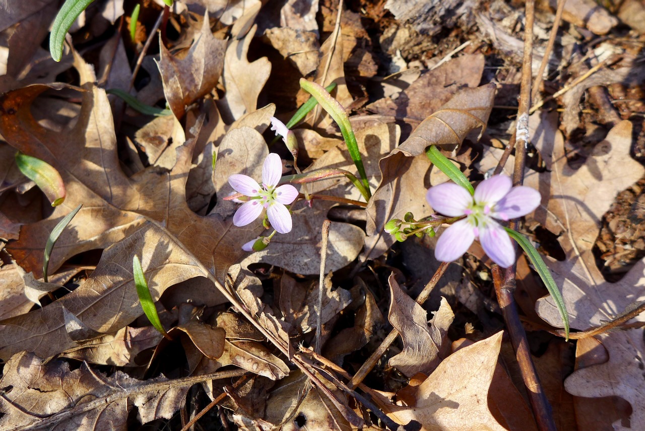
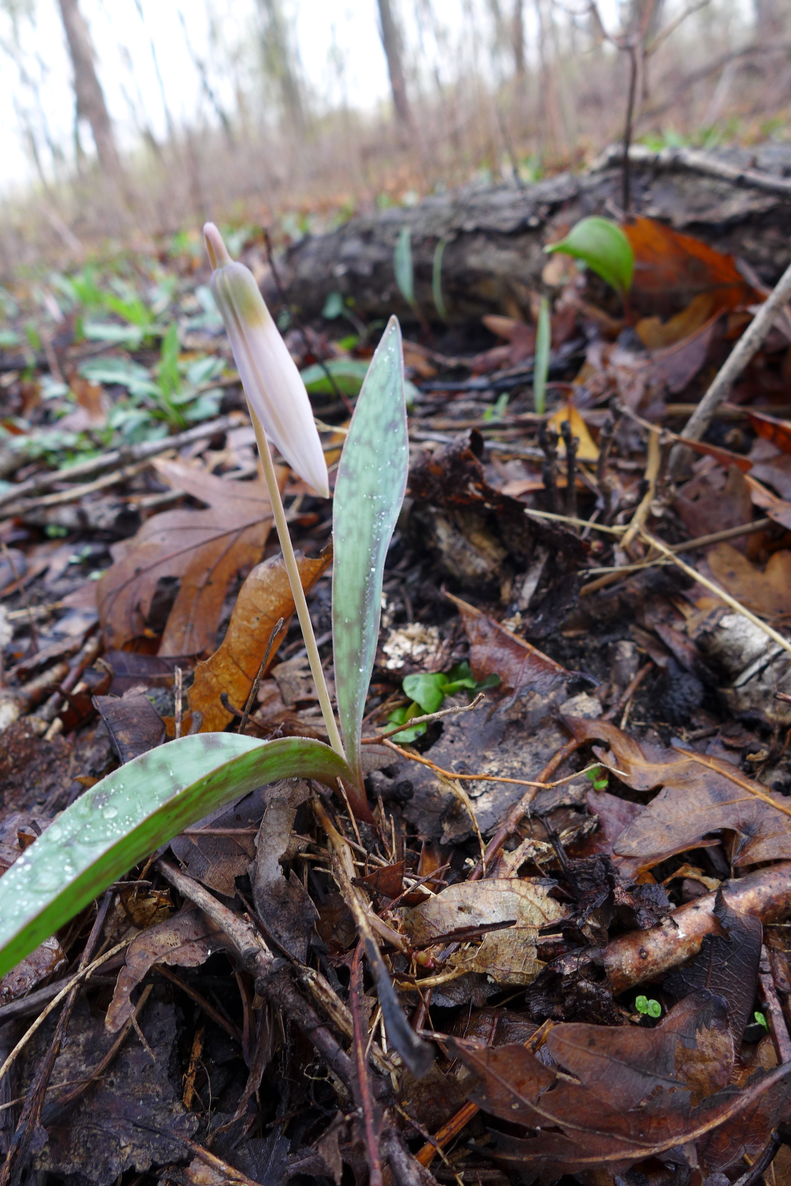
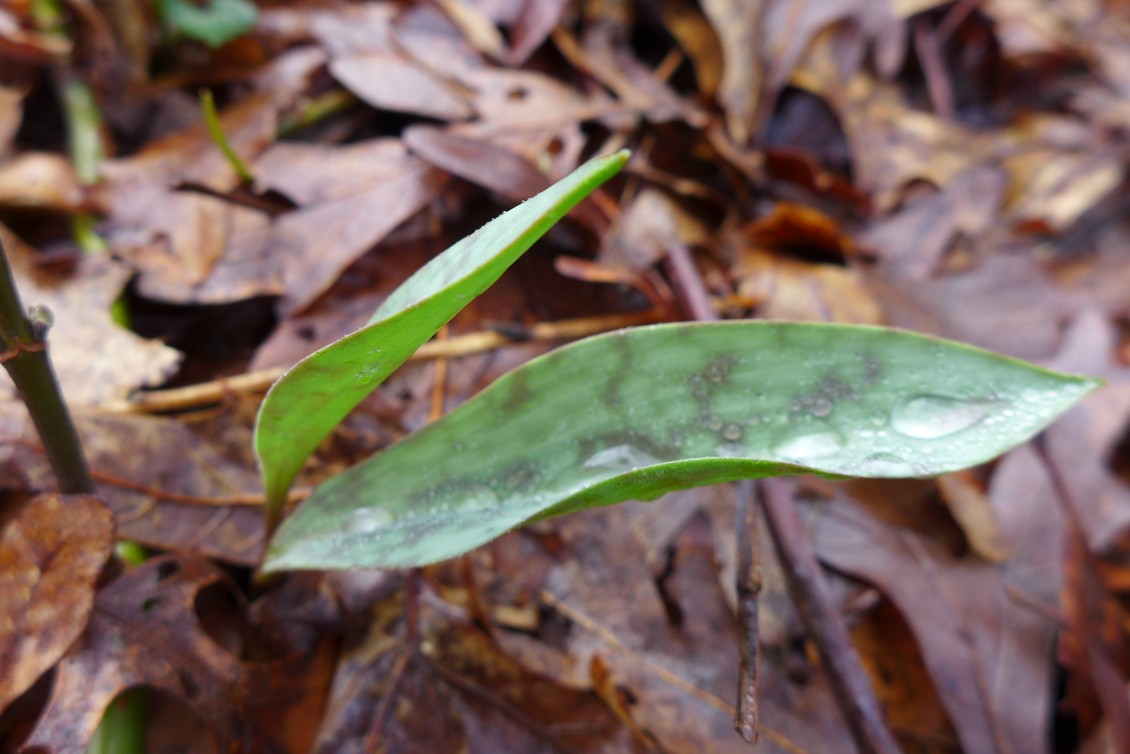
April 11


We go to the part of the Salt Creek complex in the northeast corner, often, but here, we approached Brownell Woods from the east side of 394! following the equestrian trail under the freeway.
First you walk through an old plantation,

under the freeway,
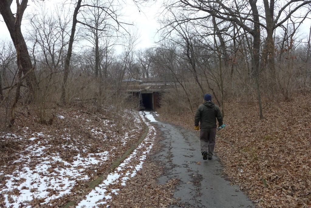
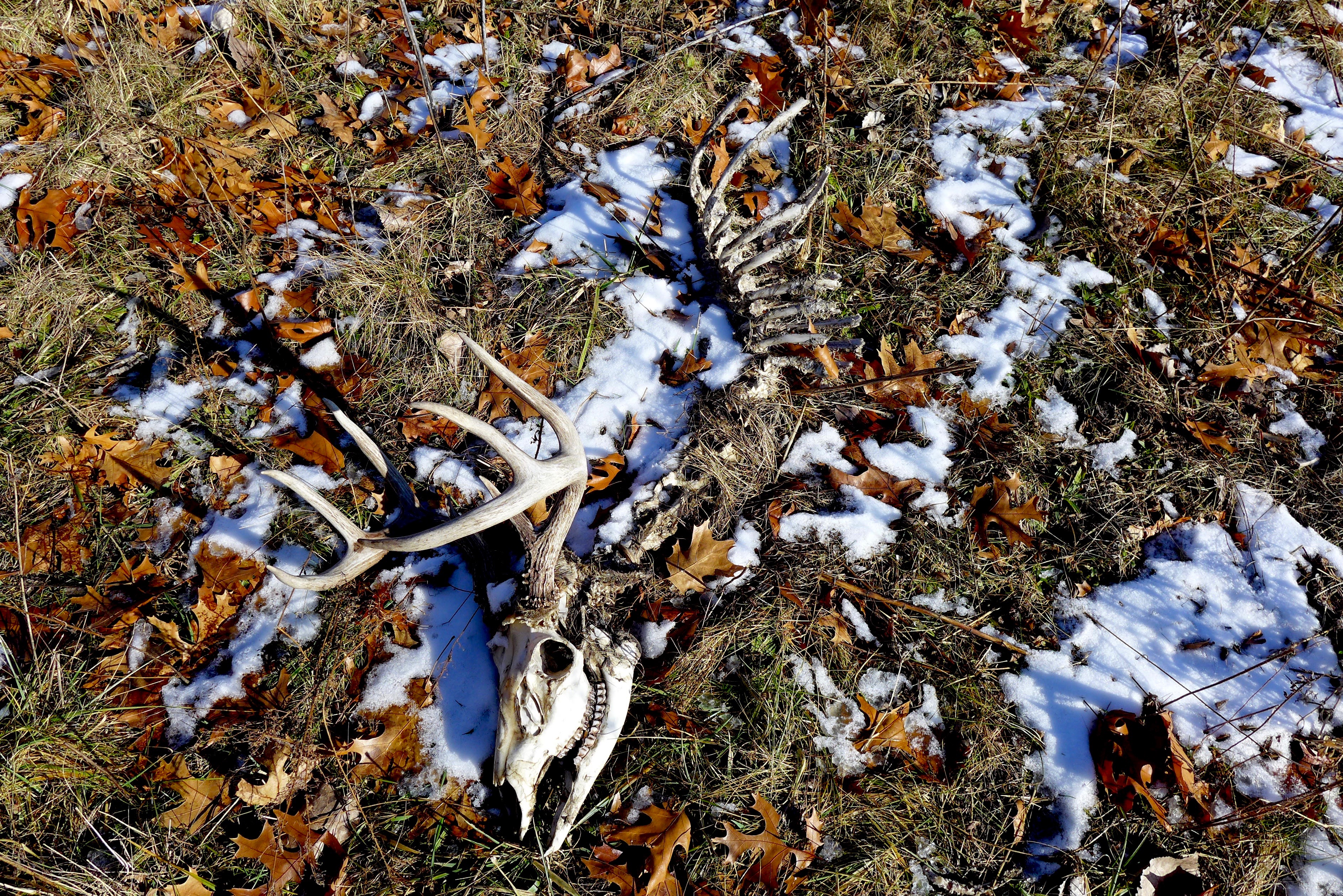
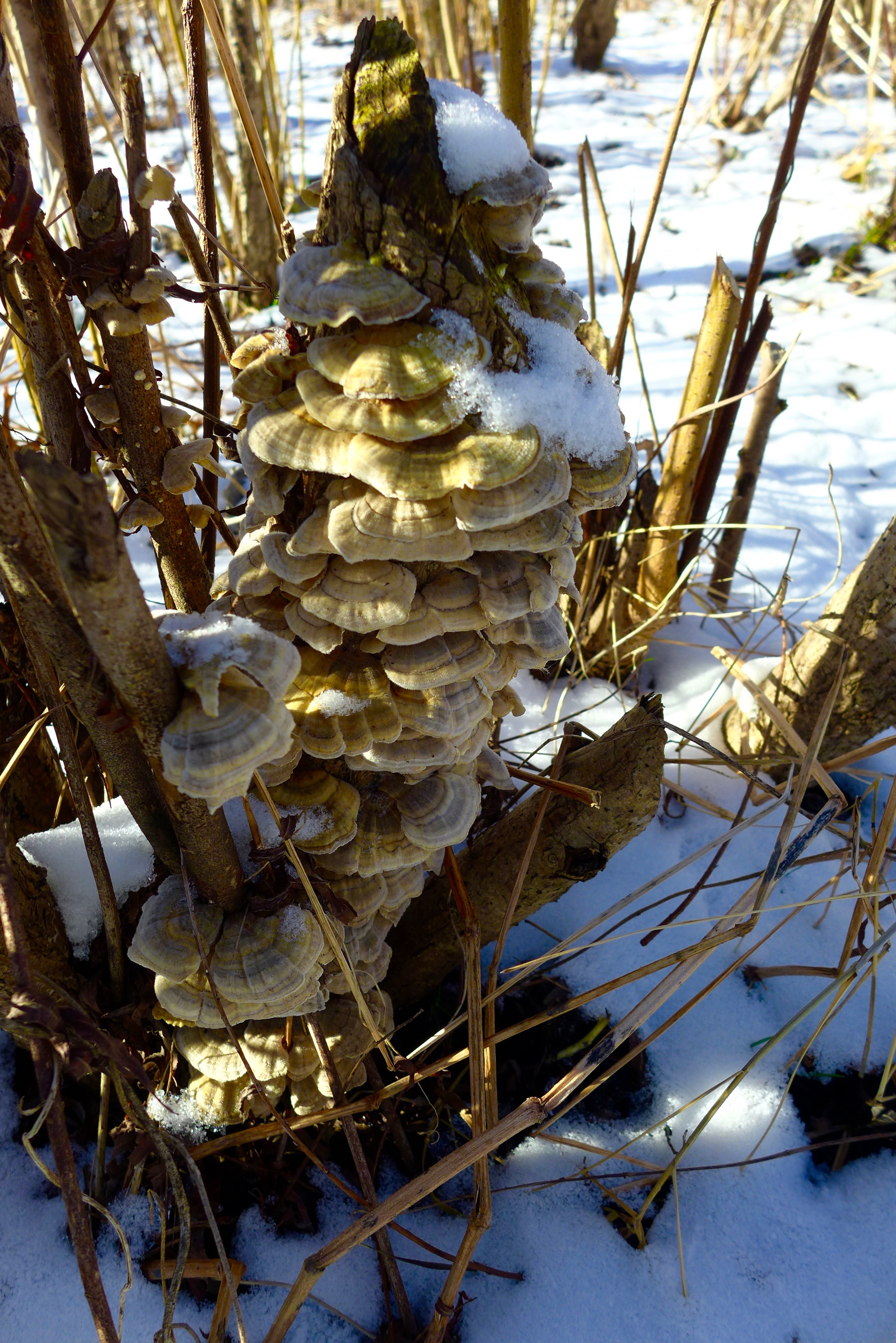
and back out on the west side, to some strange sights,


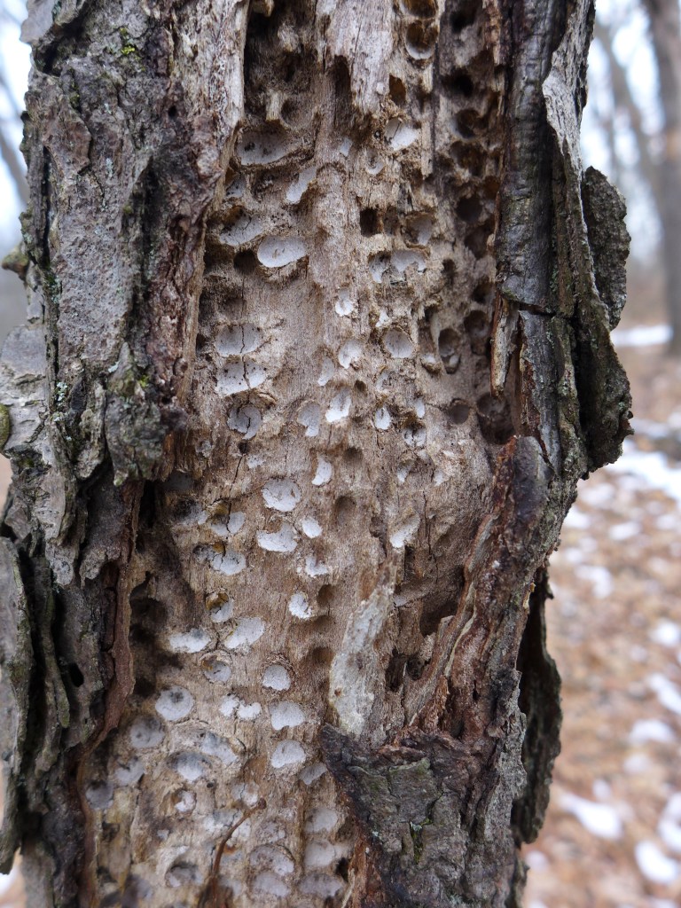
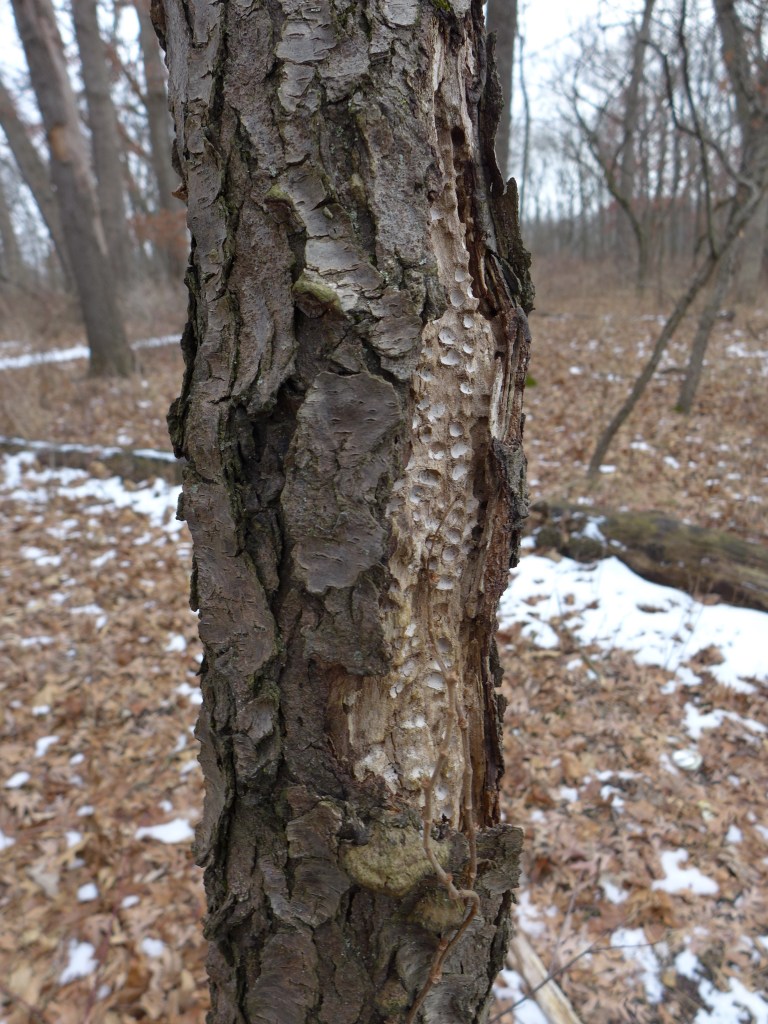
but also some familiar ones.


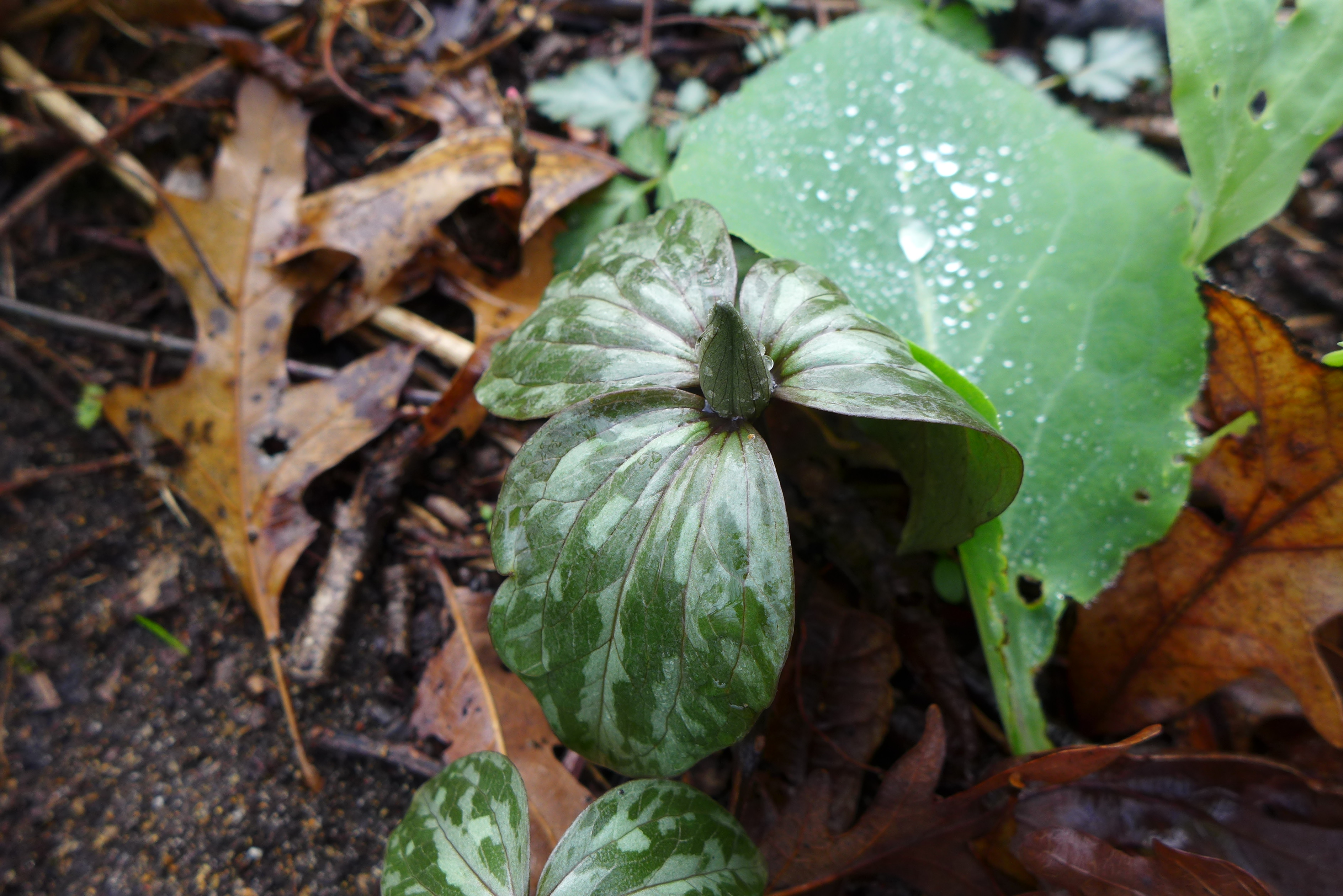
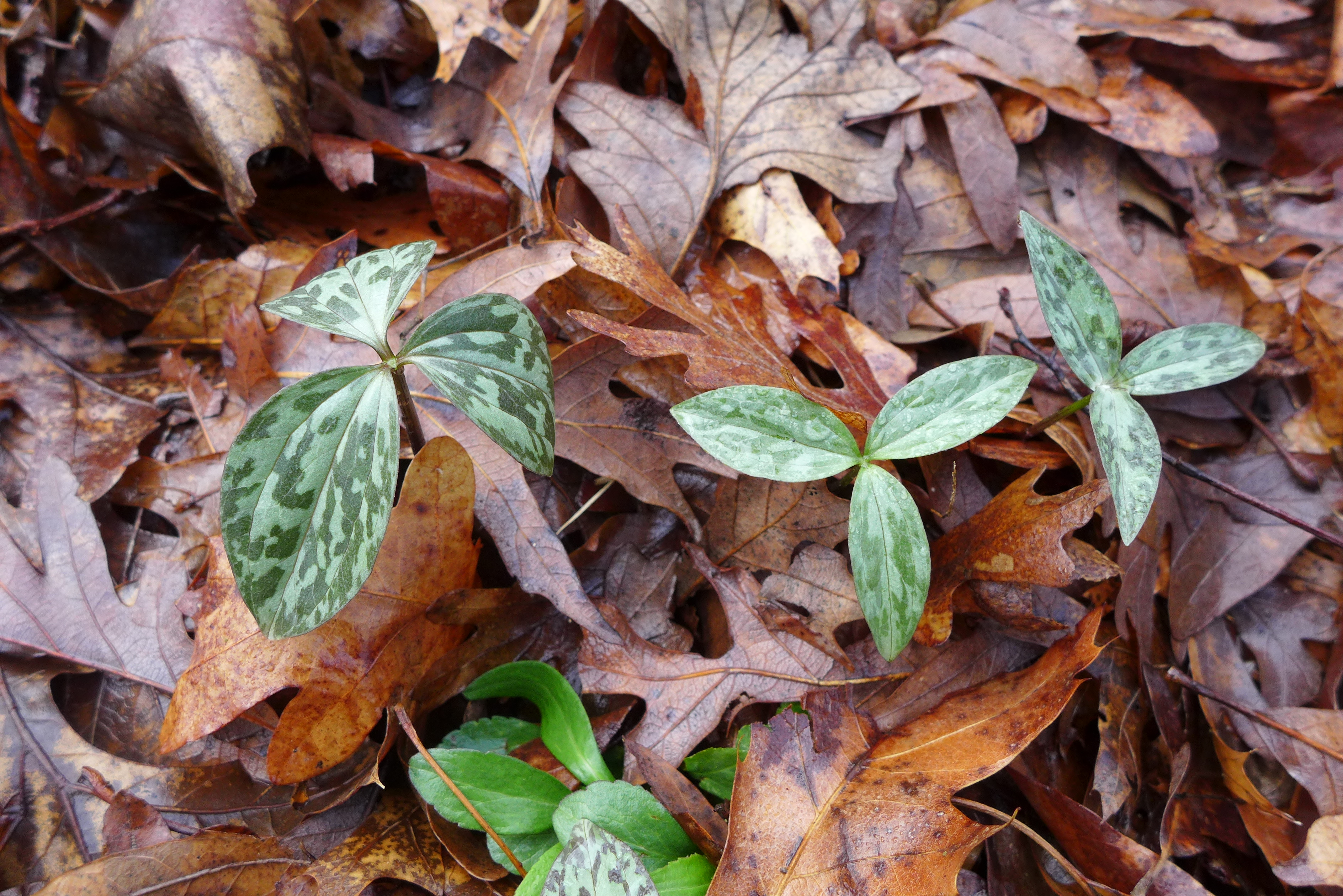
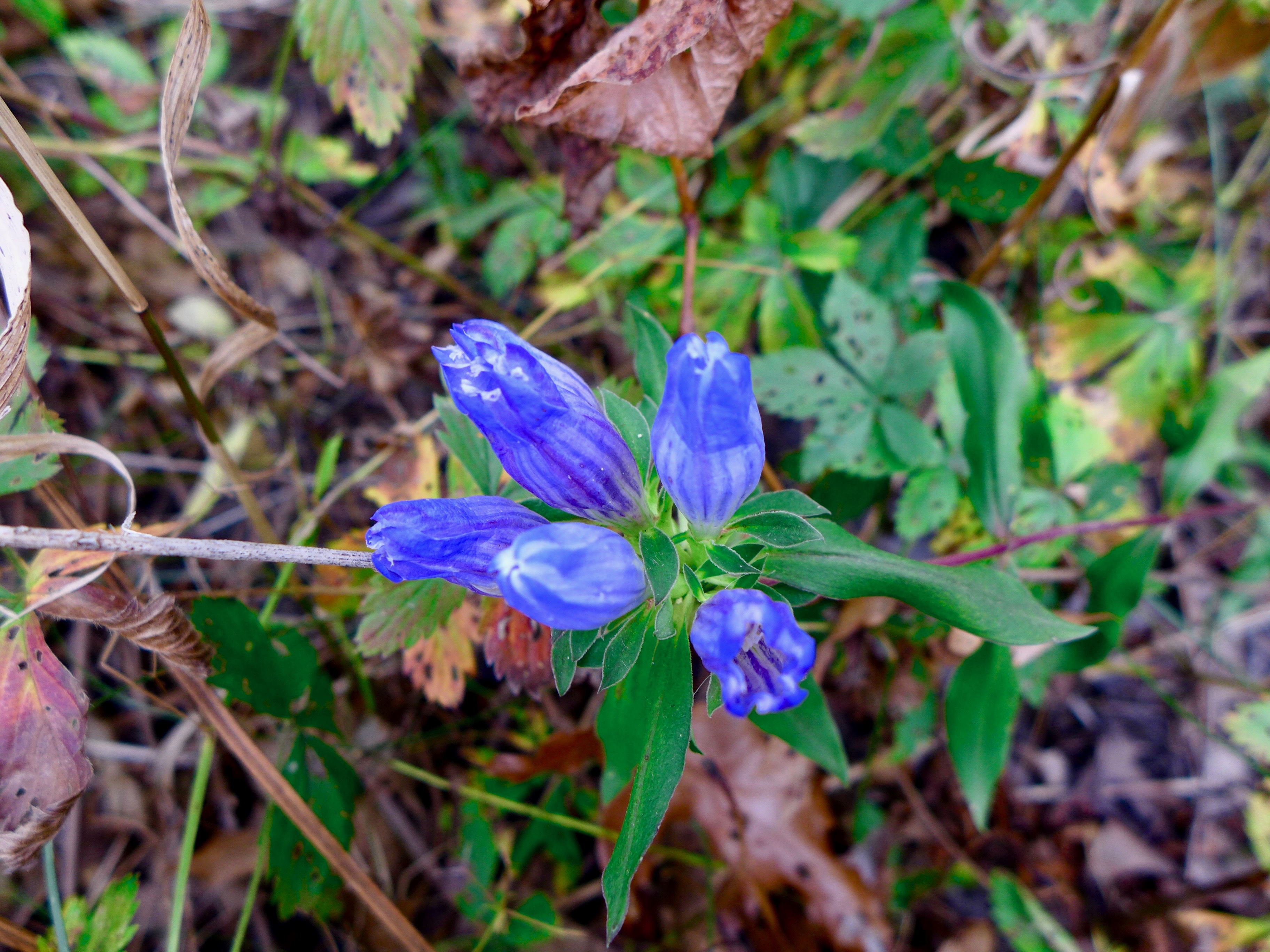
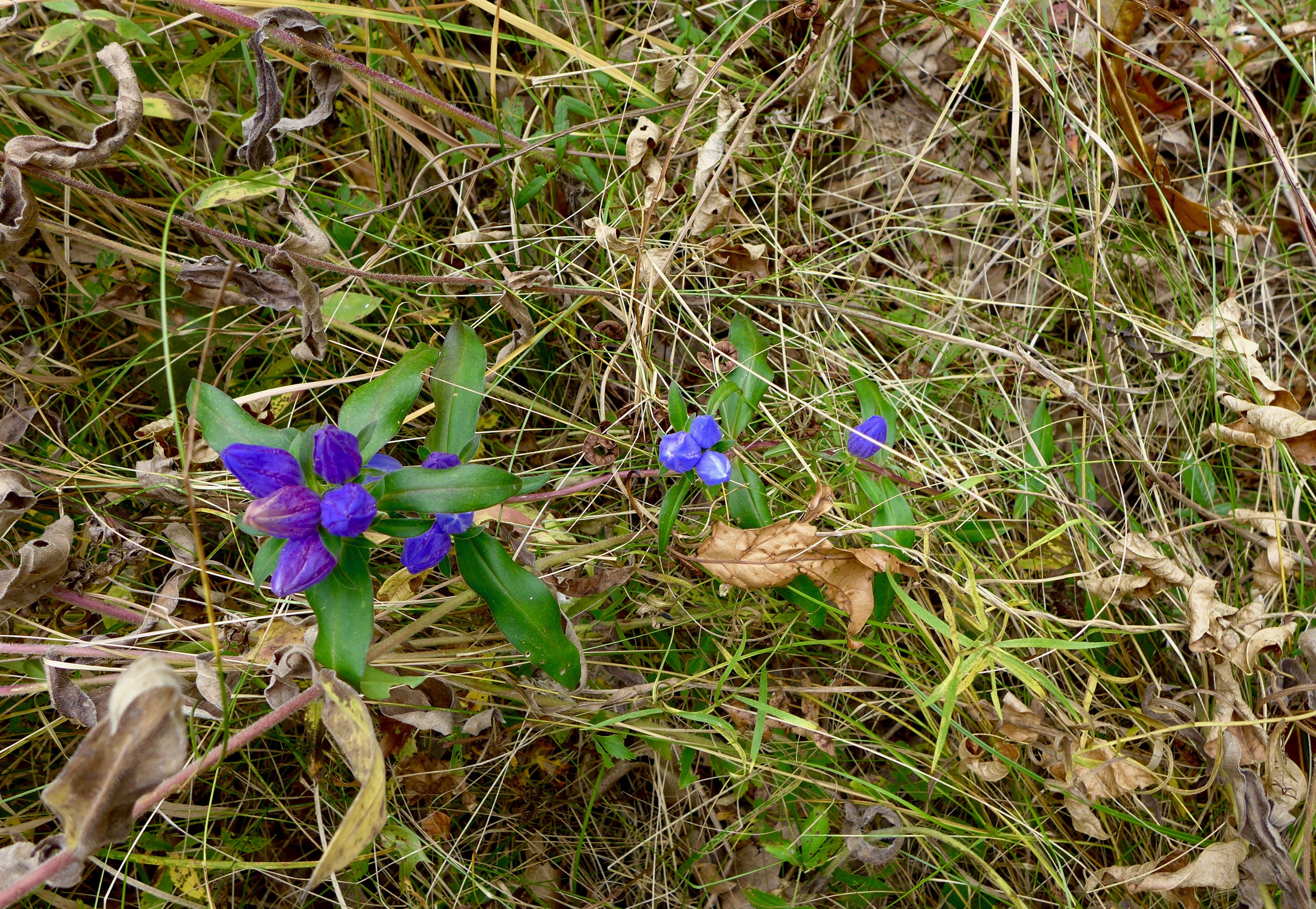
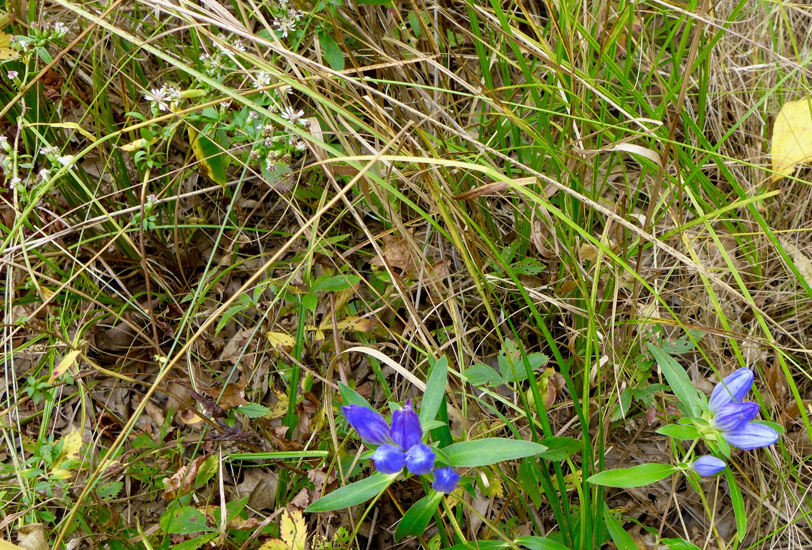
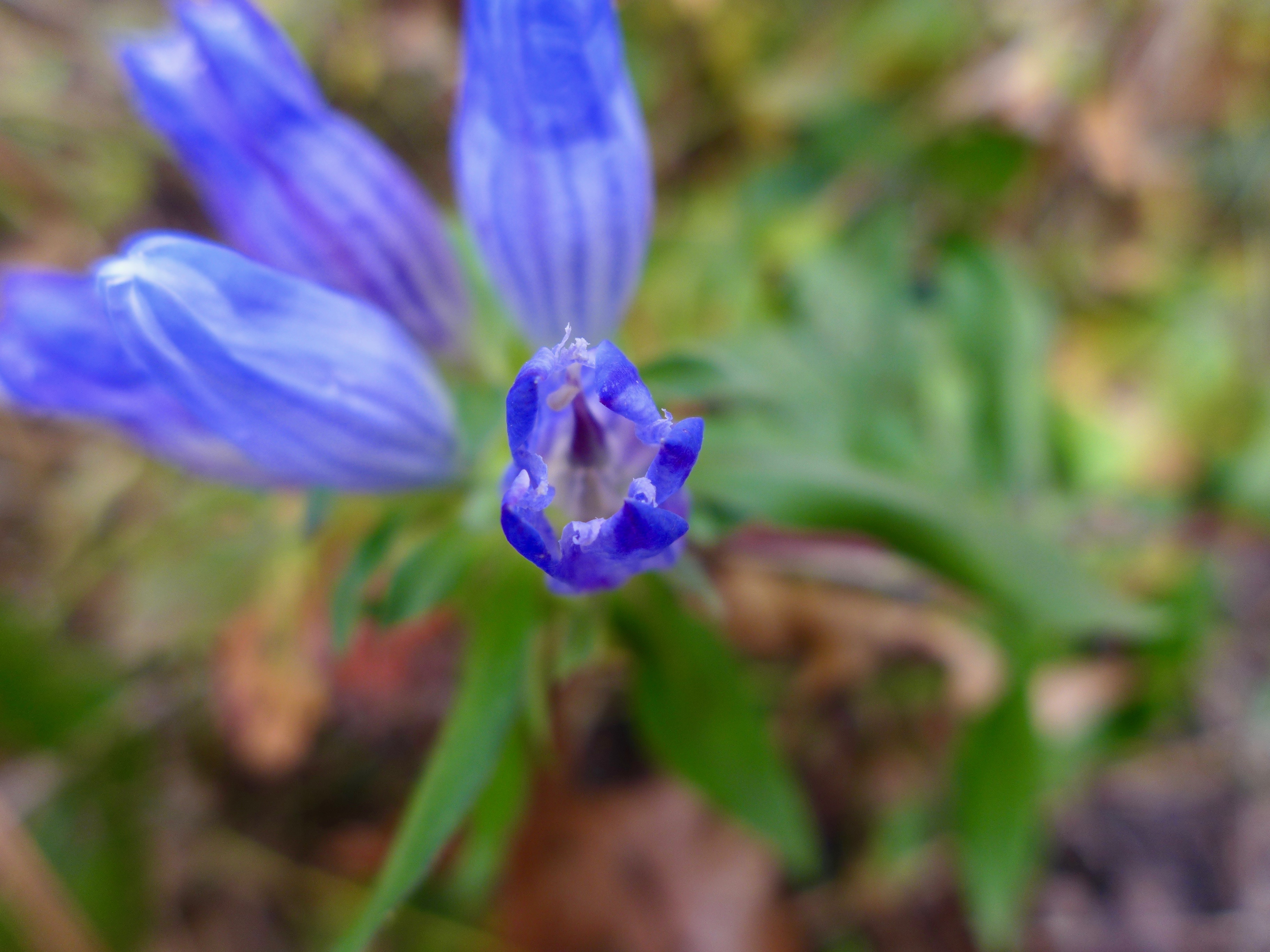
Do you ever get tired of the bottle gentians? Me neither.
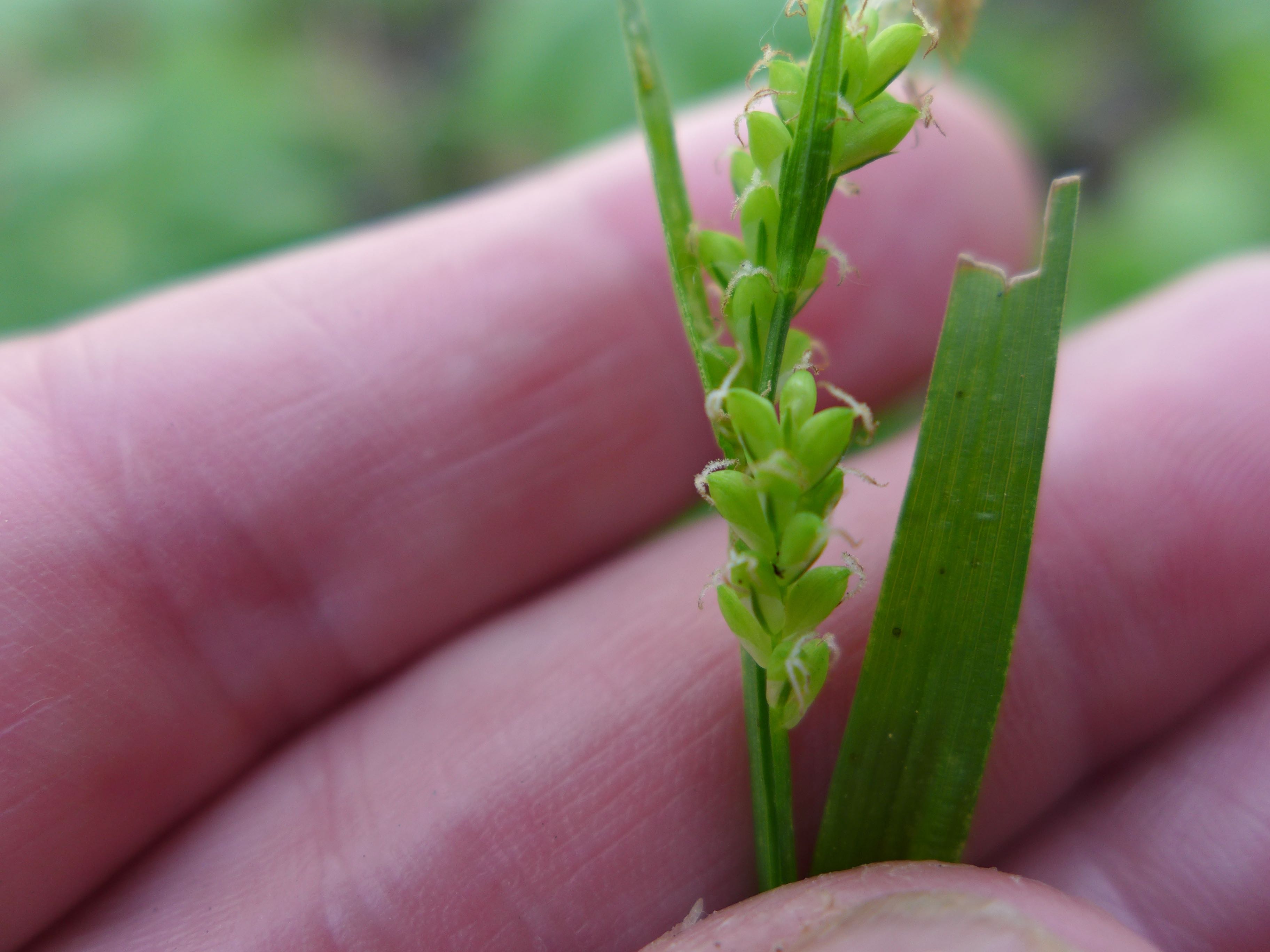
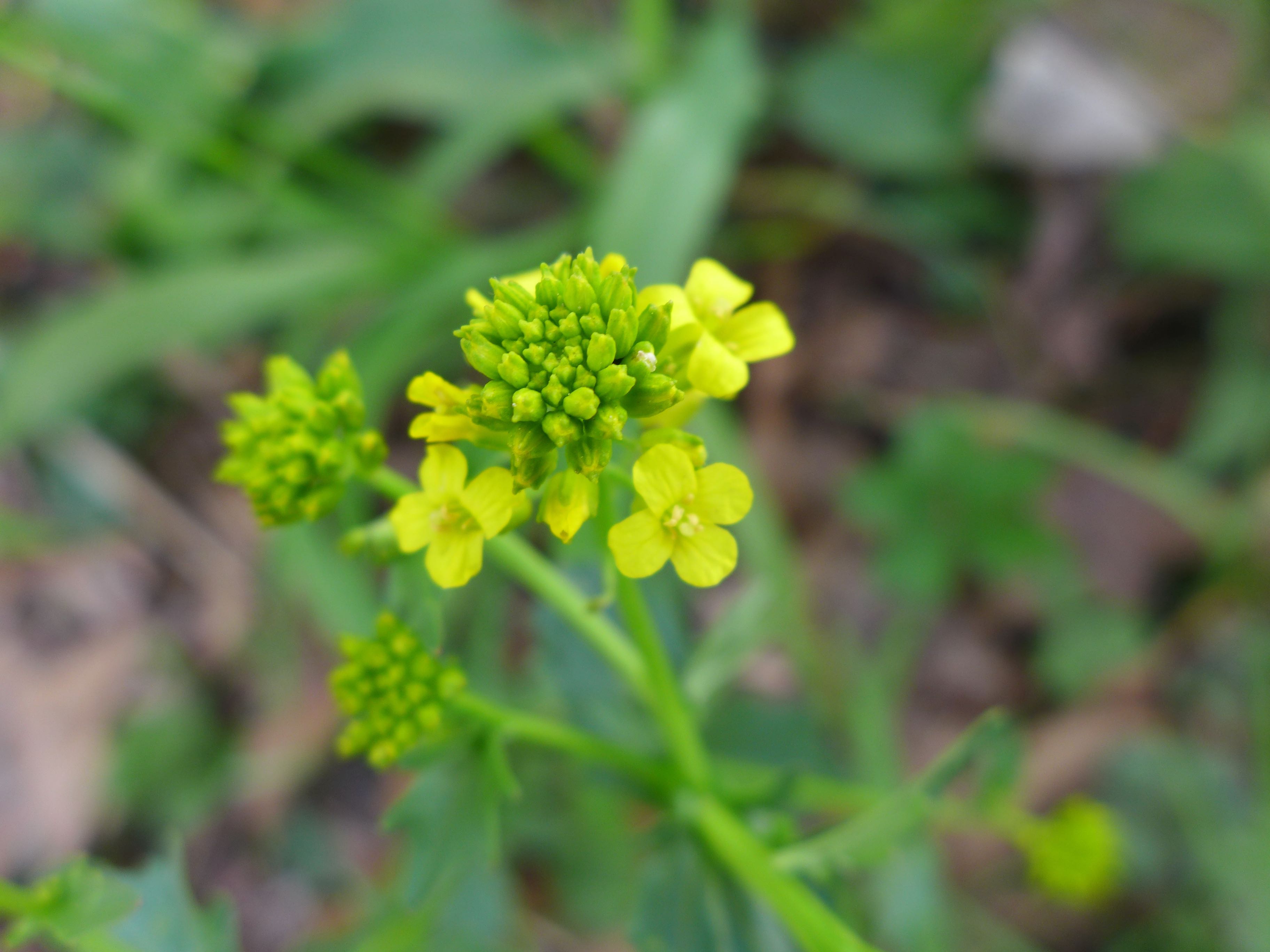
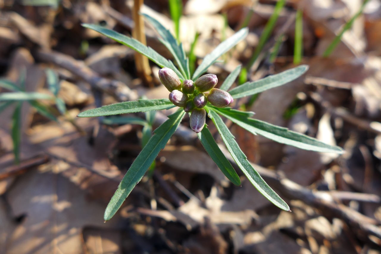
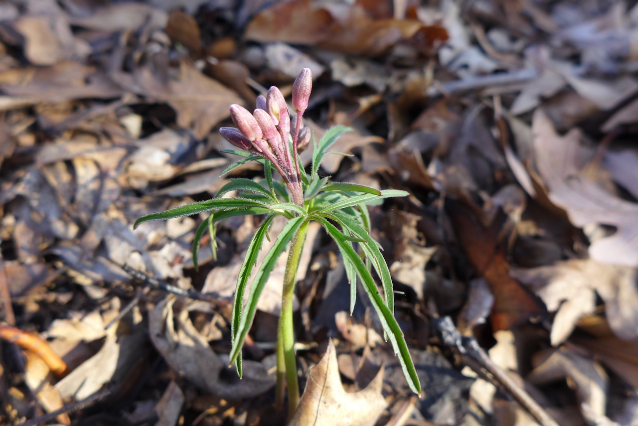
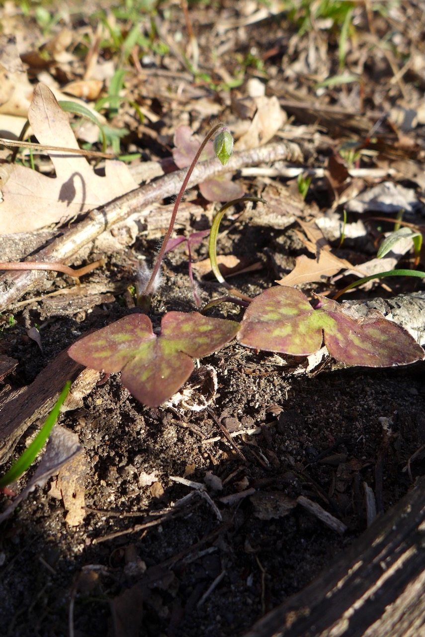
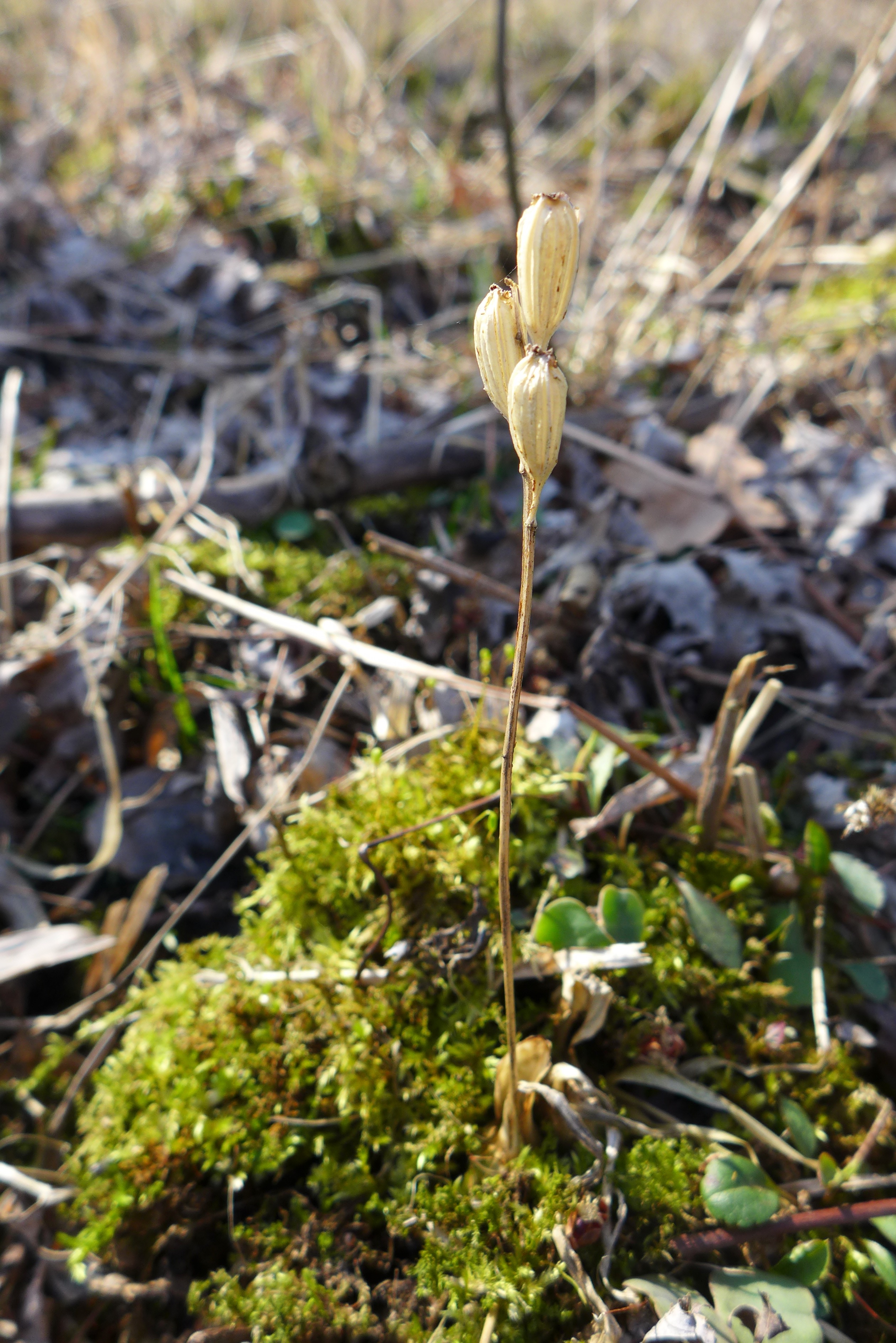
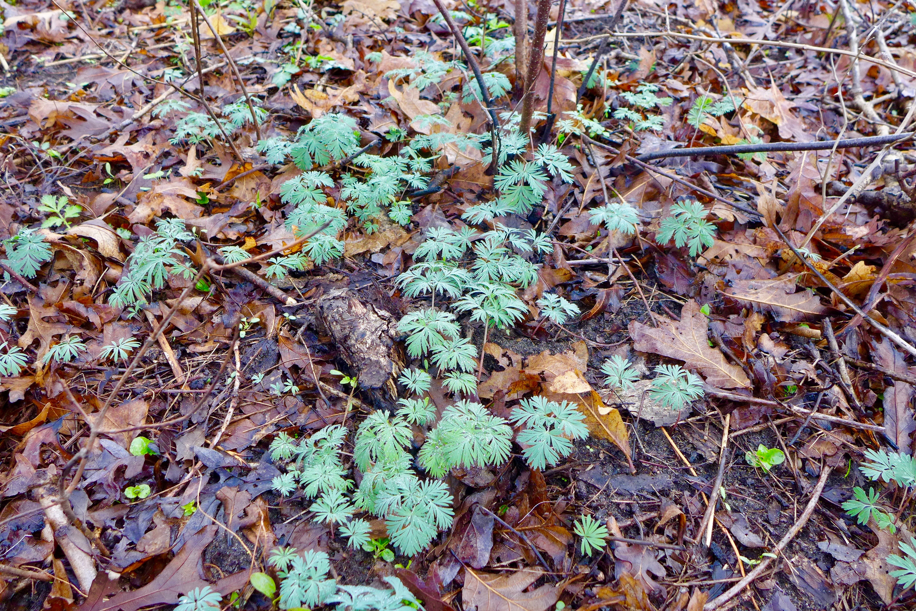
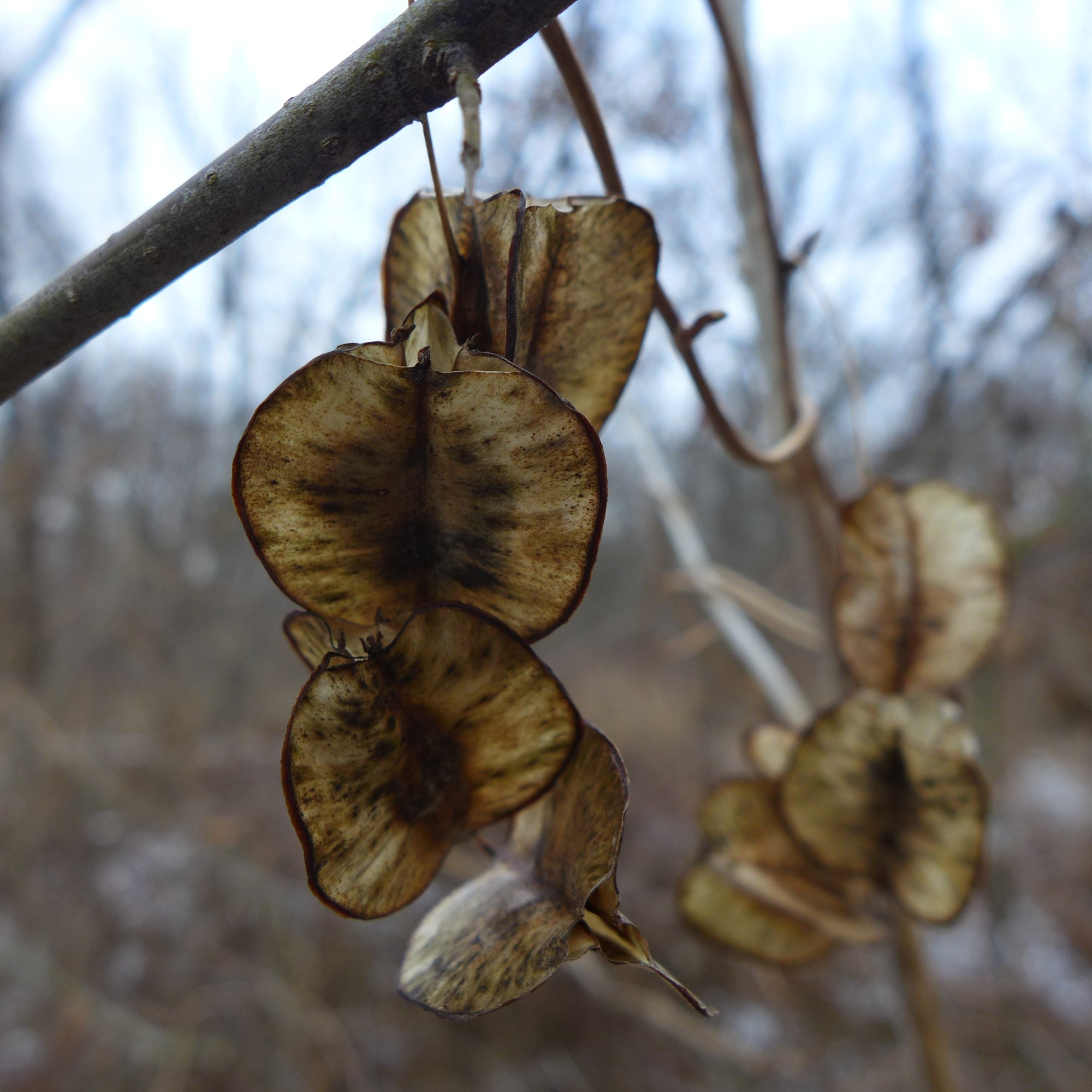
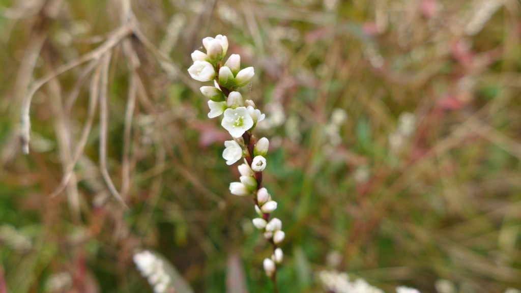
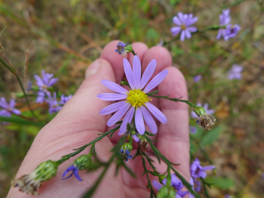
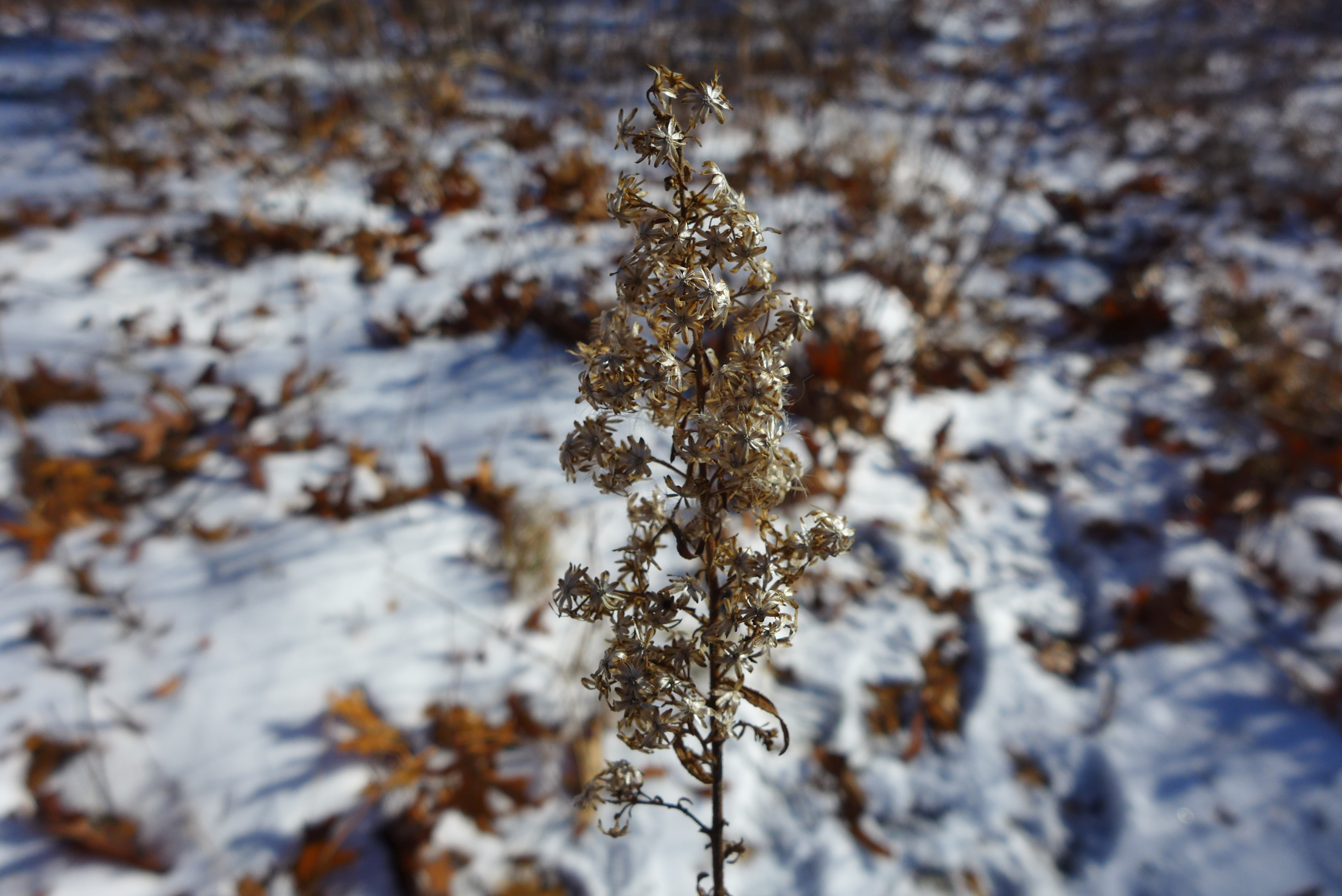
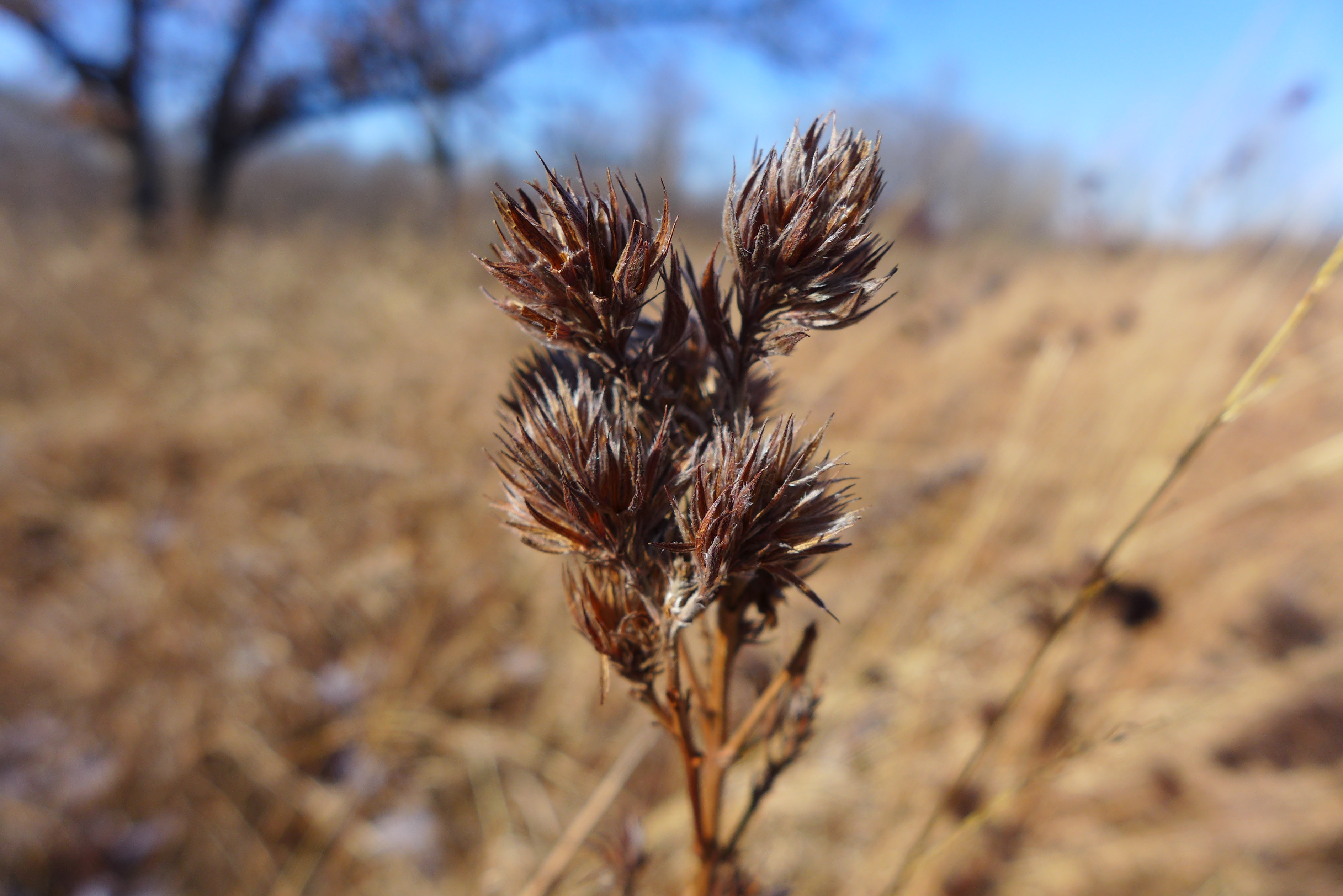
and there is so much else this season, too!


We hadn’t been to the south part of Beaubien in years. We thought we might get a chance to see lots of roosting birds in the trees, but I think we were too early in the evening.


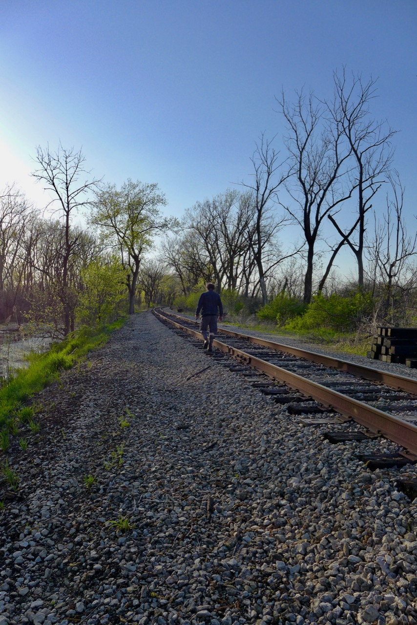
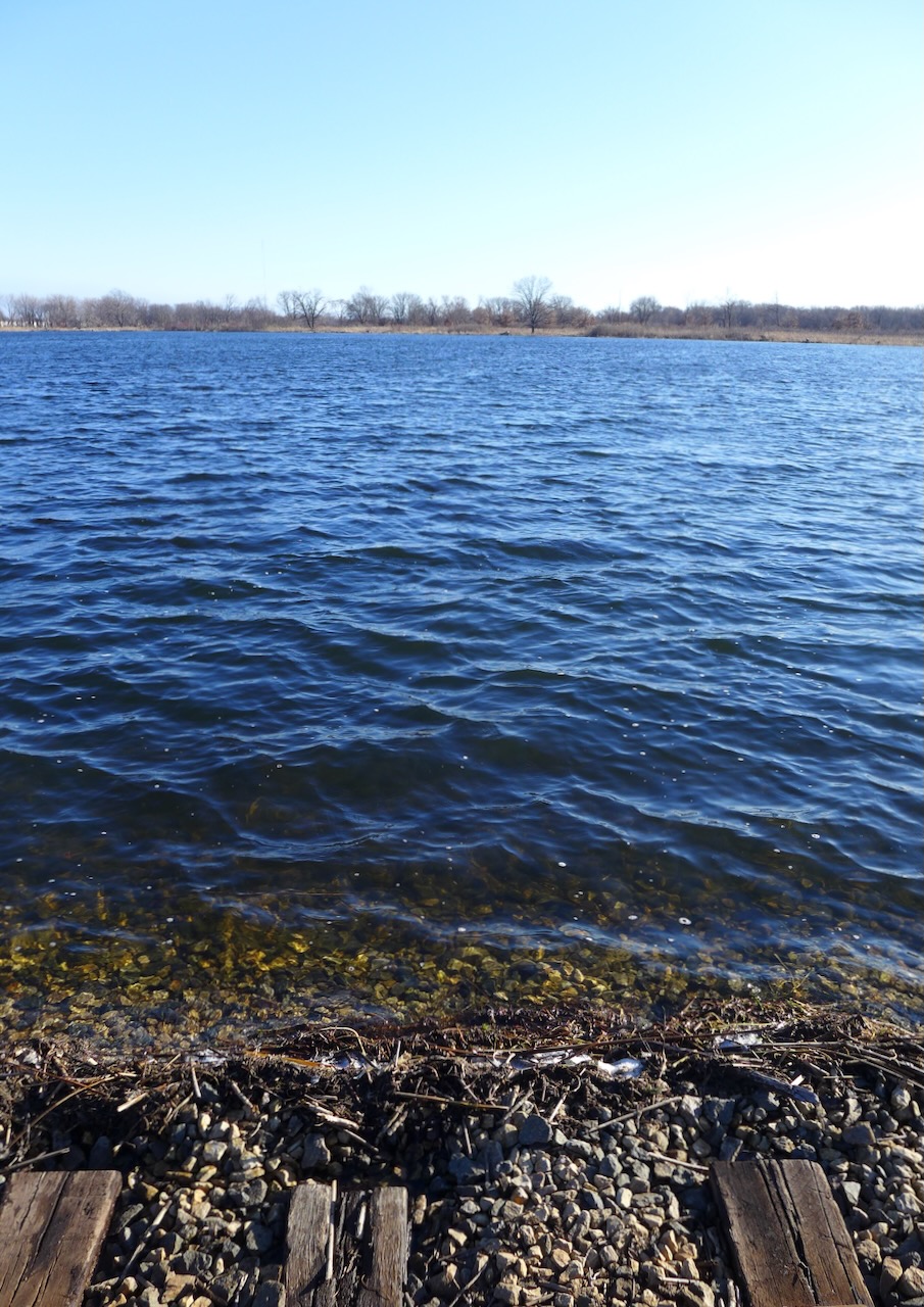
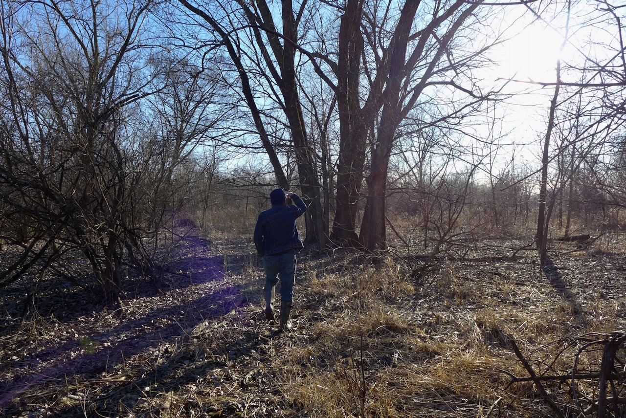
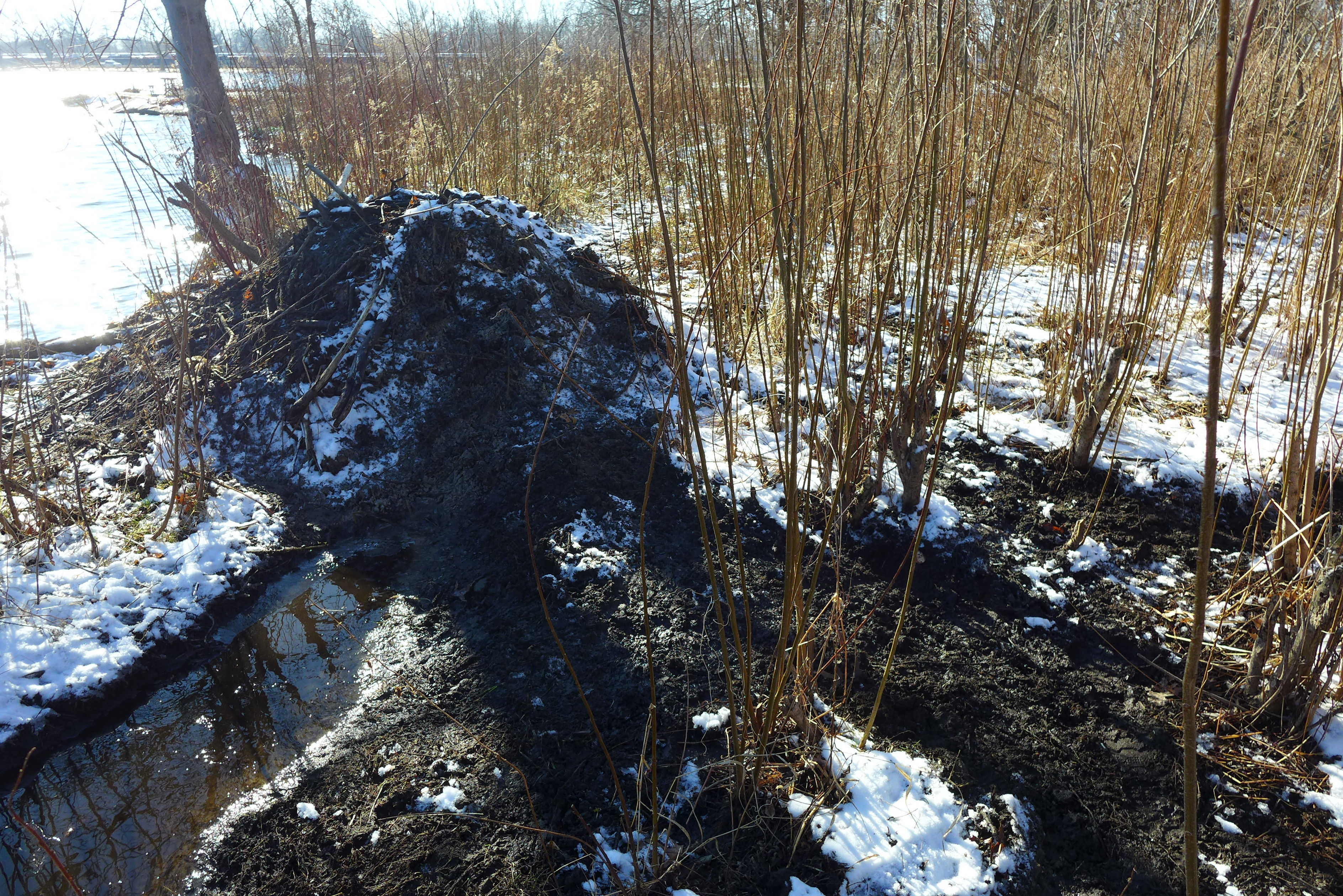
We wanted to get close to the Little Cal so we went down by the railroad tracks, and like most days we CRAC, we thank ourselves for wearing muck boots.
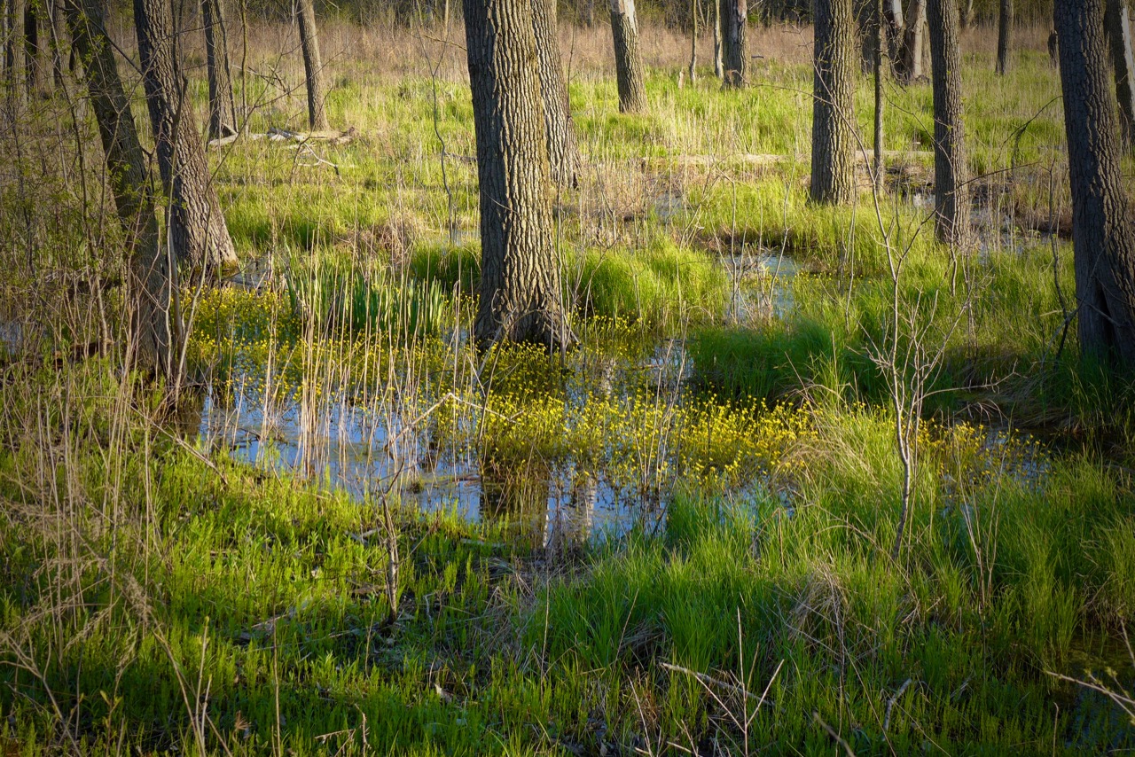
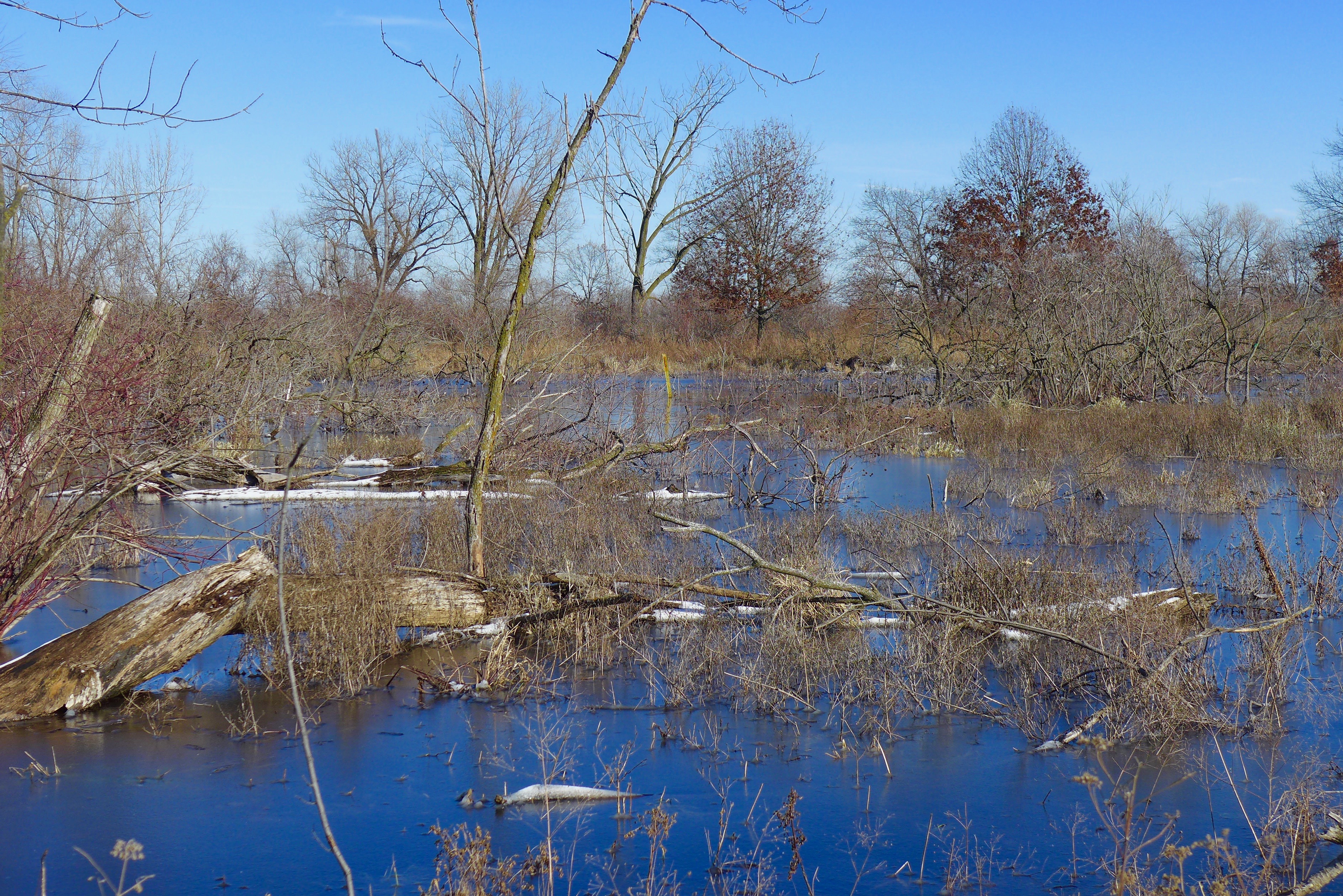
I couldn’t get a good picture of the juvenile bald eagle we saw, but I promise it was there! The trees around this wetland are just the spot to rest and recuperate before going for a hunt over the Little Calumet River.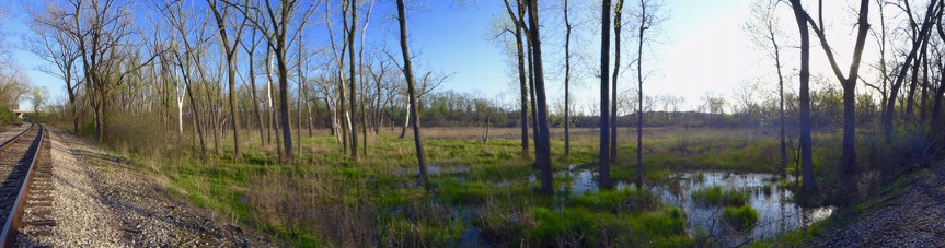


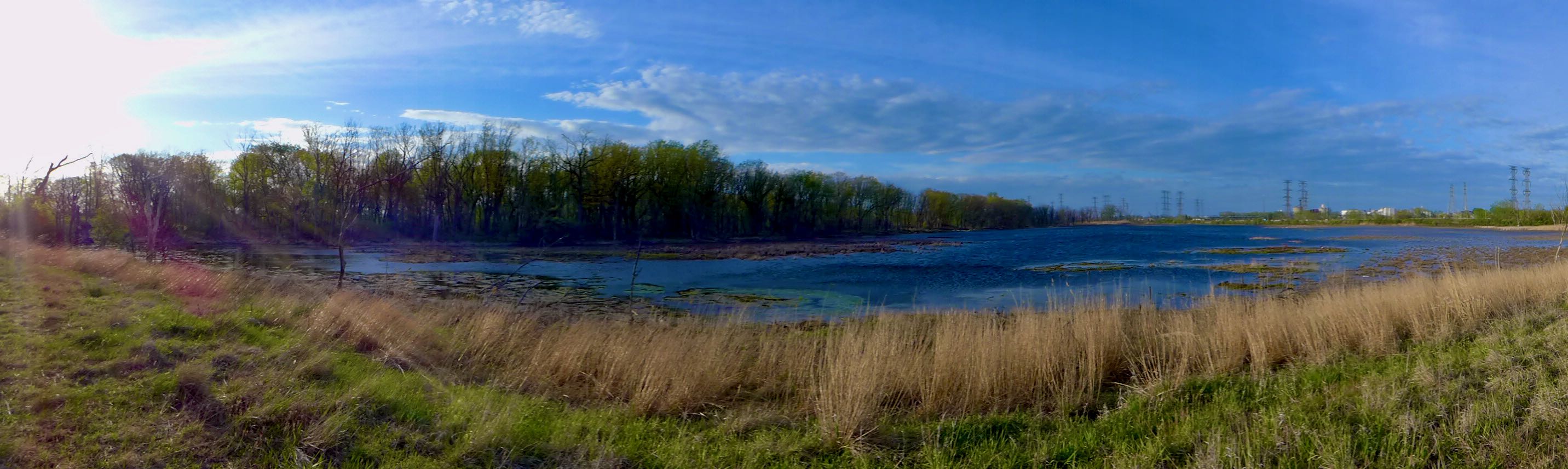
Walk south from the southern end of Wolf Lake, past the roads that peek into residential pockets, past what was overgrown vacant lots — it’s all being rewilded, connecting Wolf Lake to Powderhorn Lake (fig 1). It expands the local wetland complex, but in a different direction than the historical baseline. Why? Because Powderhorn Lake is human-constructed, so there was never a connection between these bodies of water before.


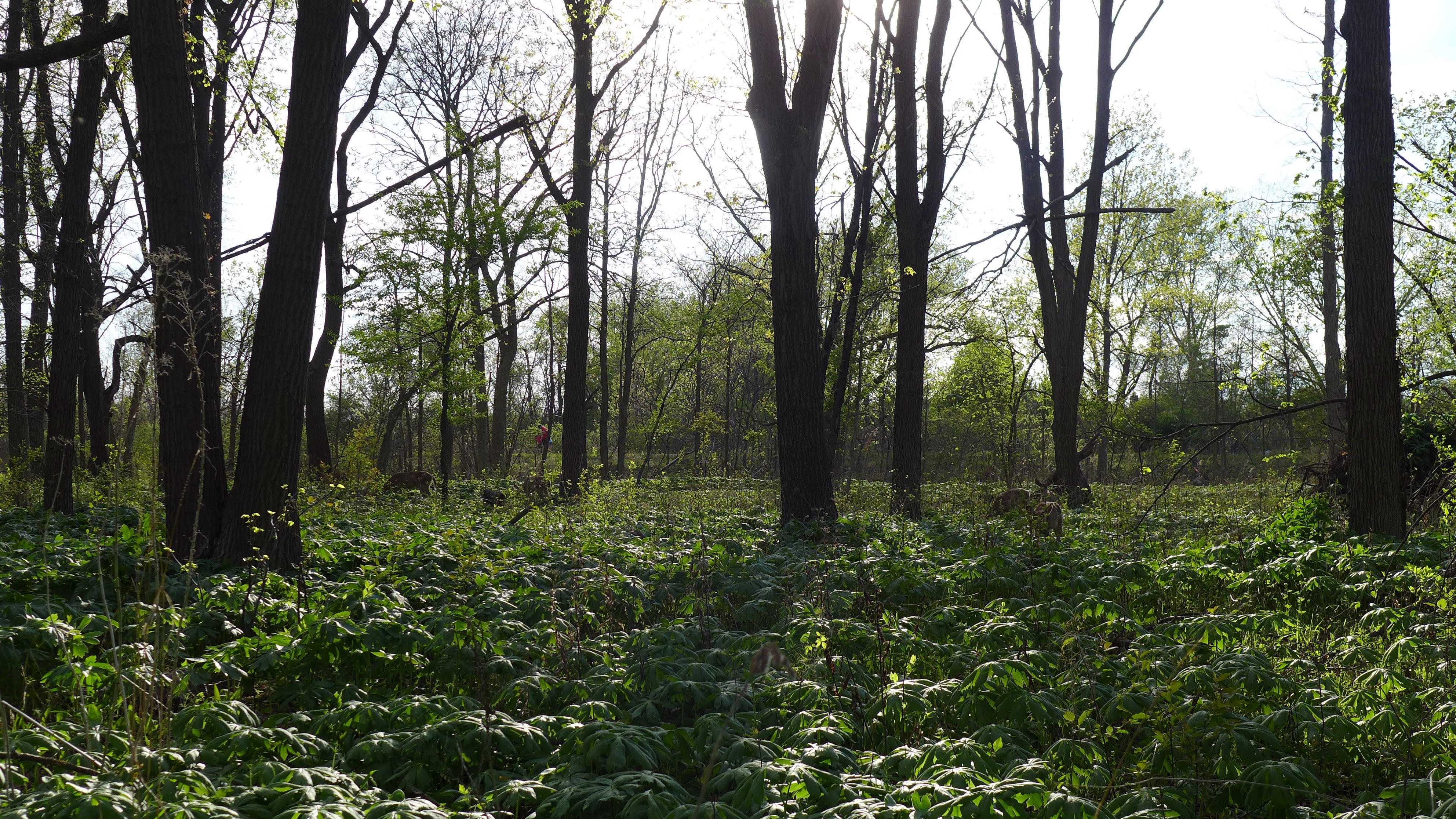
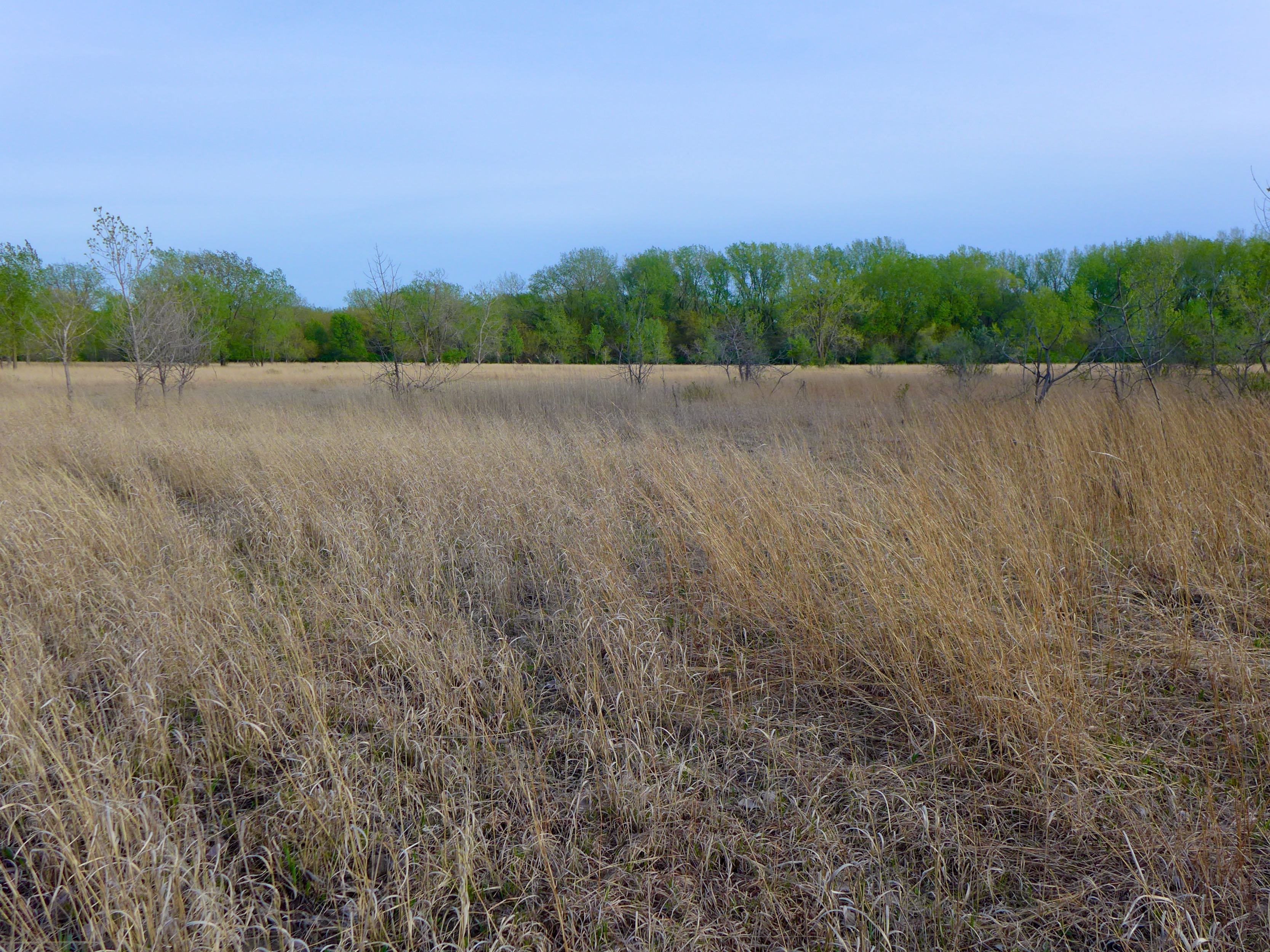
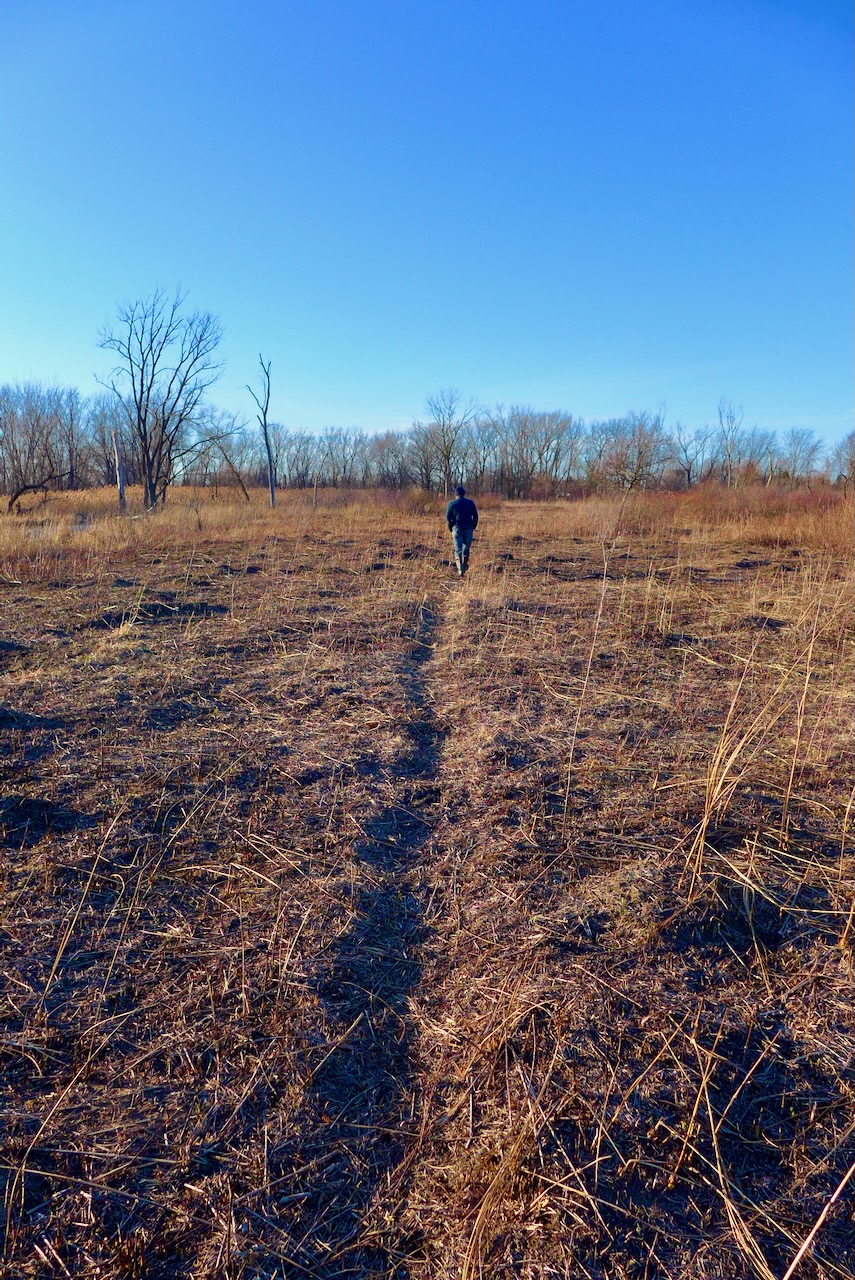
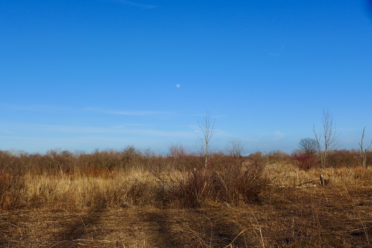
We started in the greenspace north of Powderhorn Lake (though quite brown this time of year).
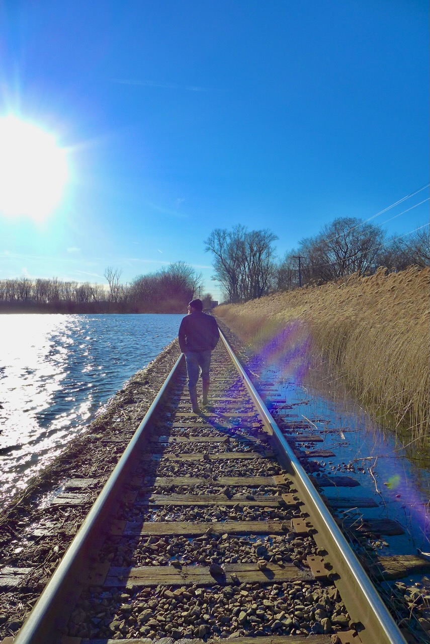
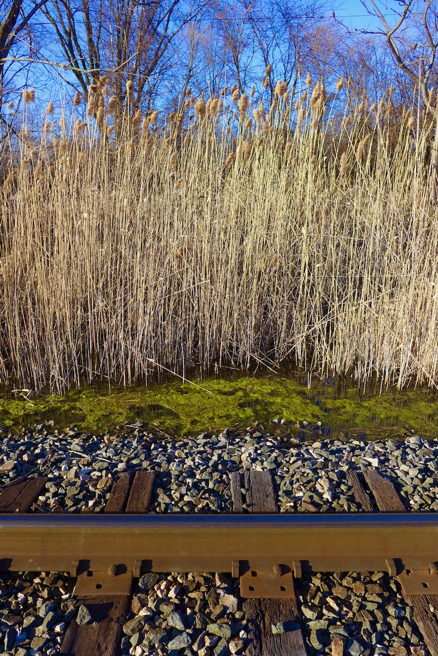
We came out from the buckthorn and Phragmites to a railroad track on the north side of Powderhorn Lake.
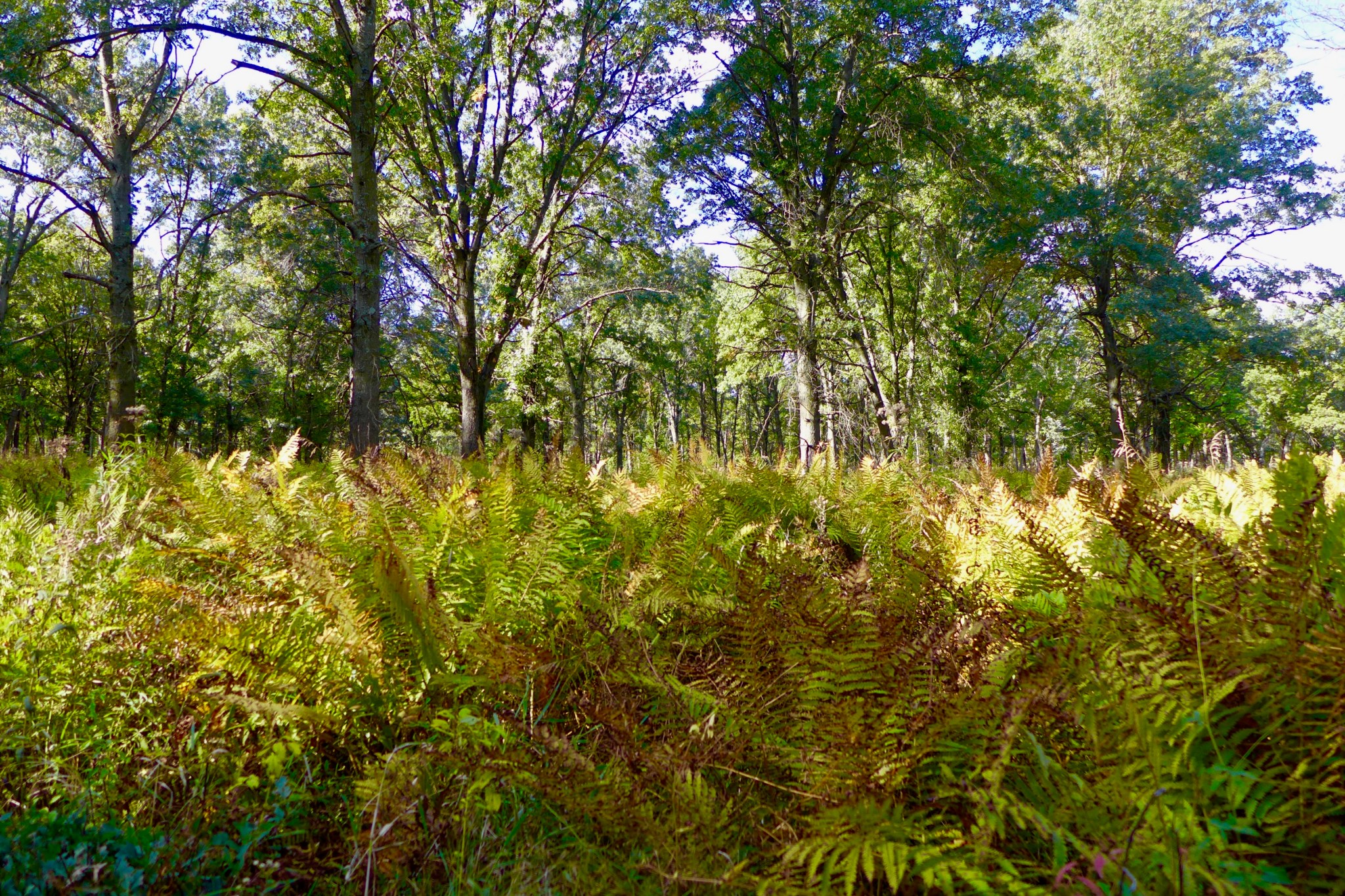
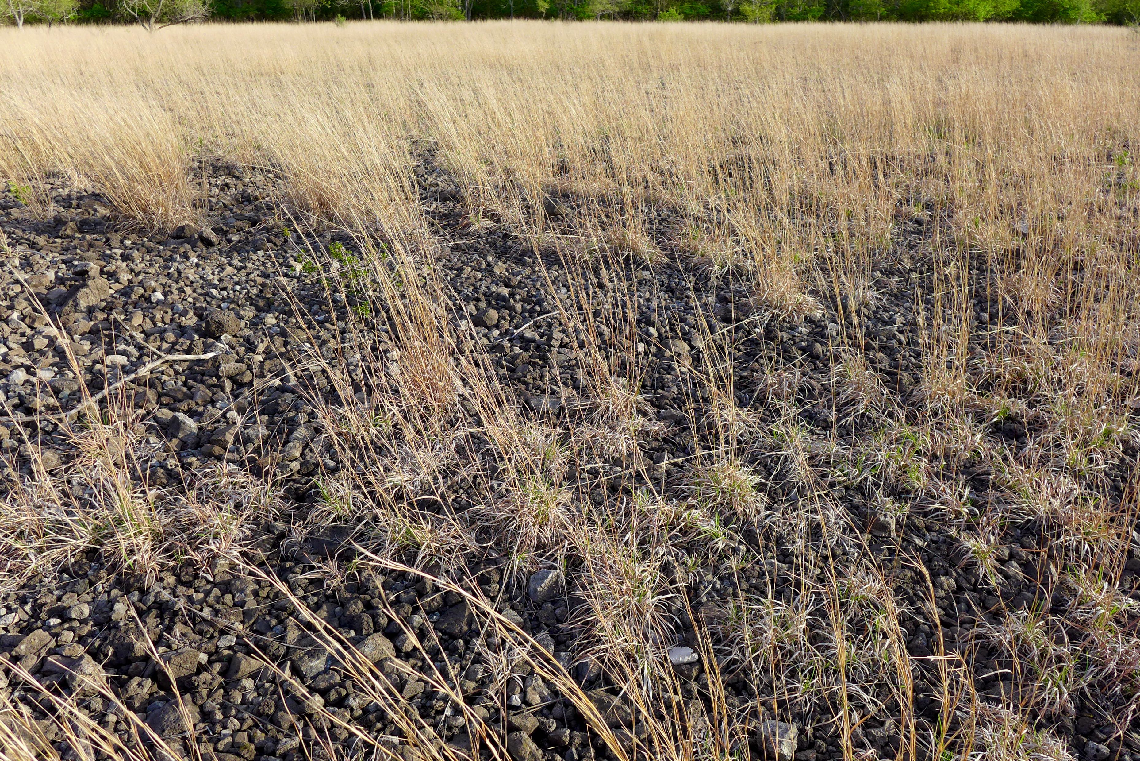
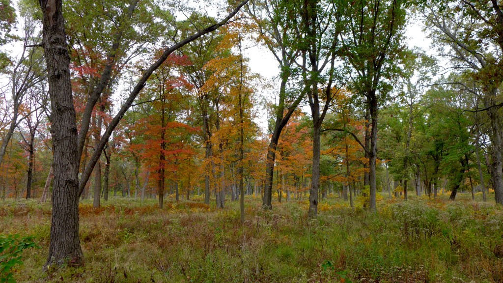
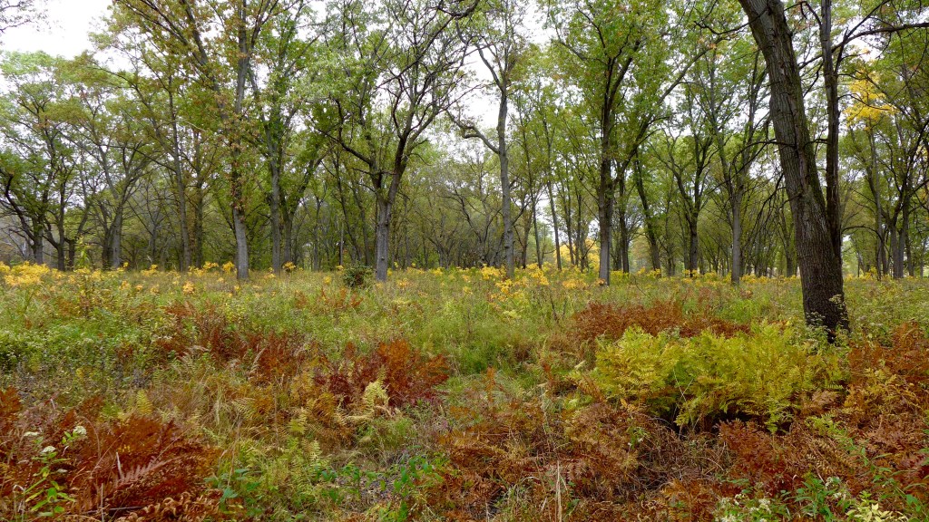
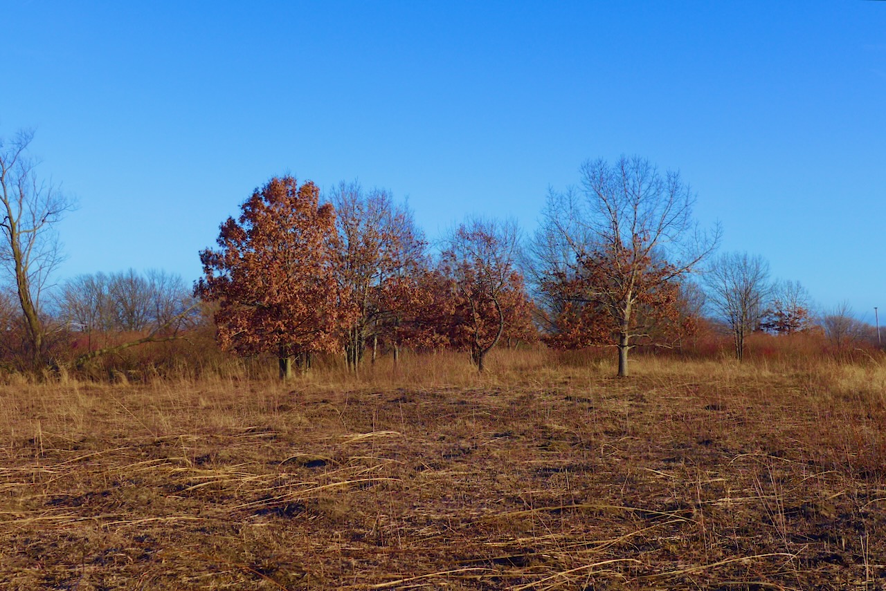
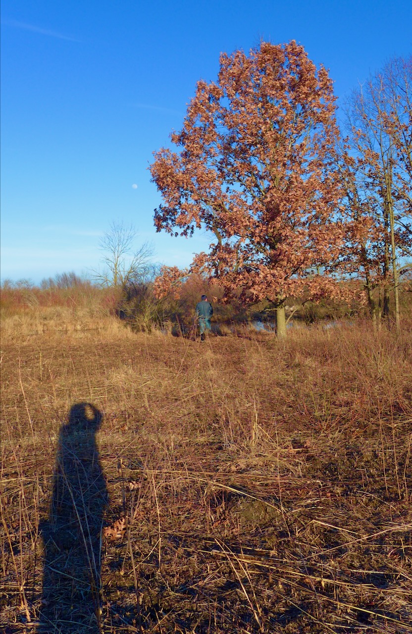
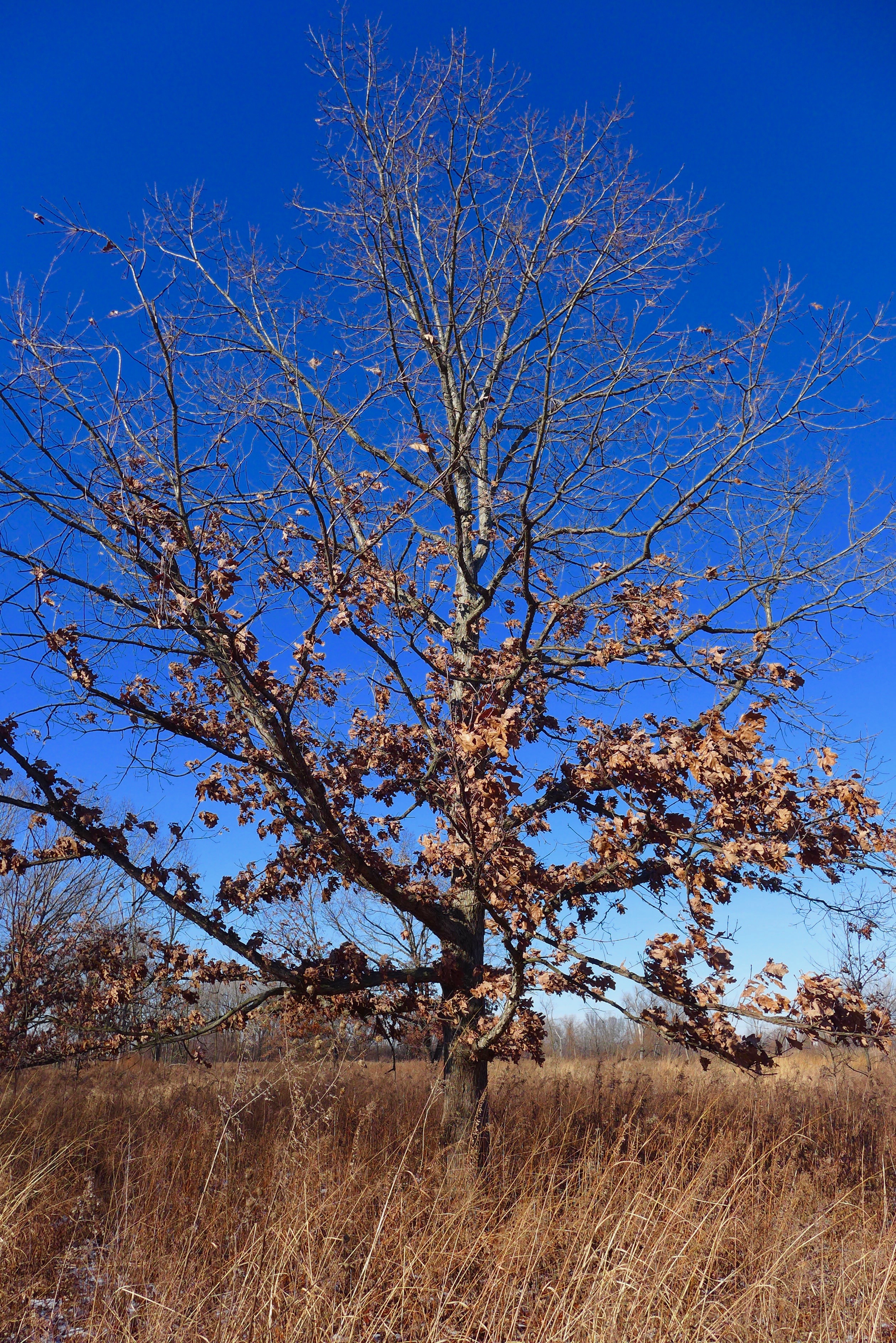
The dune and swale that you see on the map, looking like a ridged swamp, to the west of Powderhorn Lake- that dune and swale is still there! This is a long finger of oak savanna heading to the southeast.


I promise we left all most of the seeds behind before we got in the car.