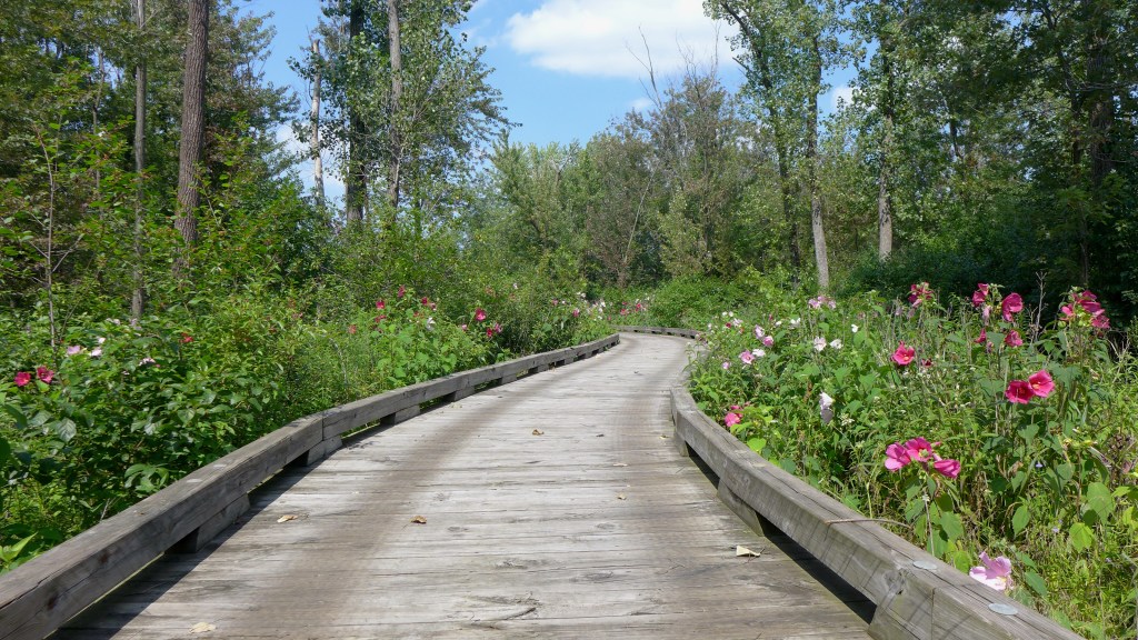


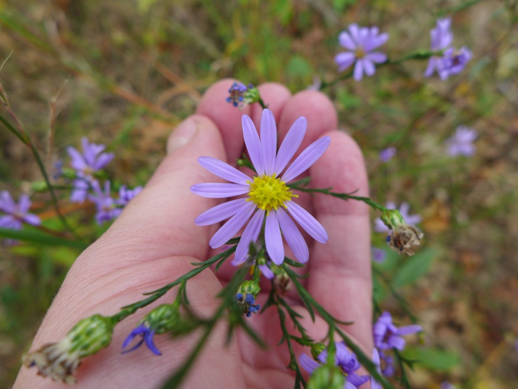
July is just the beginning of mallow season at Sand Ridge. Imagine the flowers twice as dense along the sides of the boardwalk – only a week or two away!


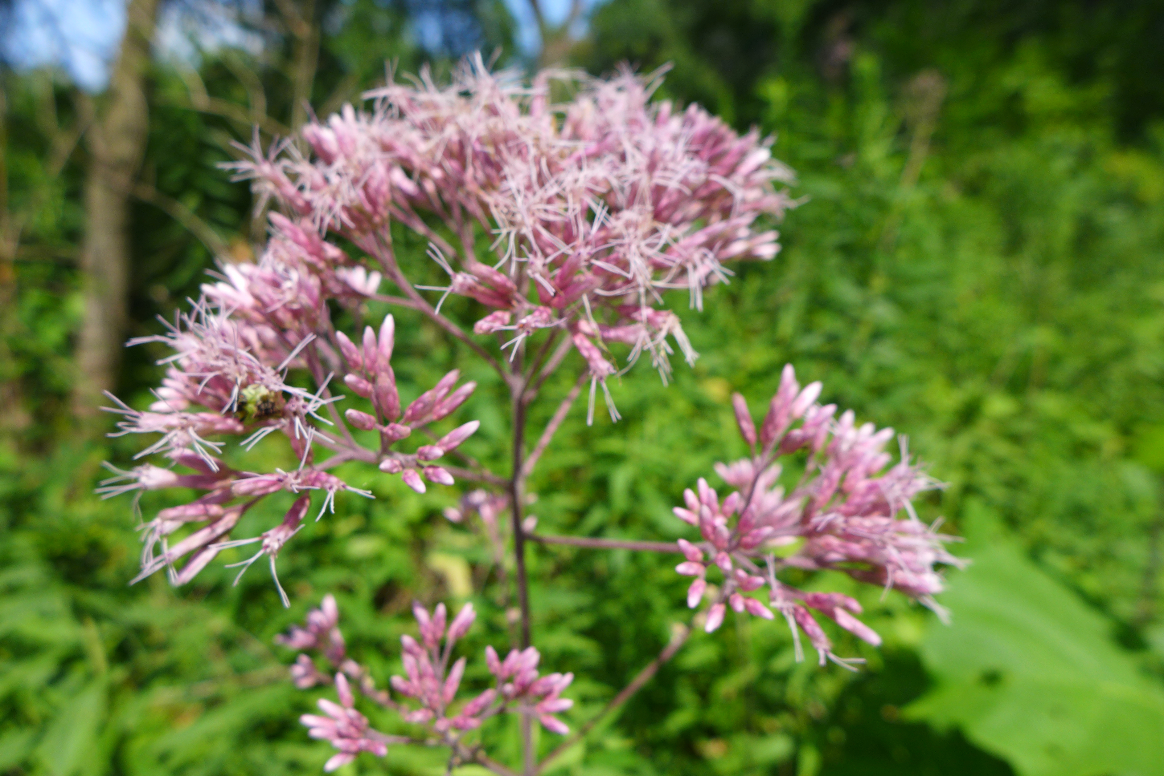


July is just the beginning of mallow season at Sand Ridge. Imagine the flowers twice as dense along the sides of the boardwalk – only a week or two away!
I didn’t remember that we had visited here in May before, but check out May 2017 to see what we found here a few years ago!
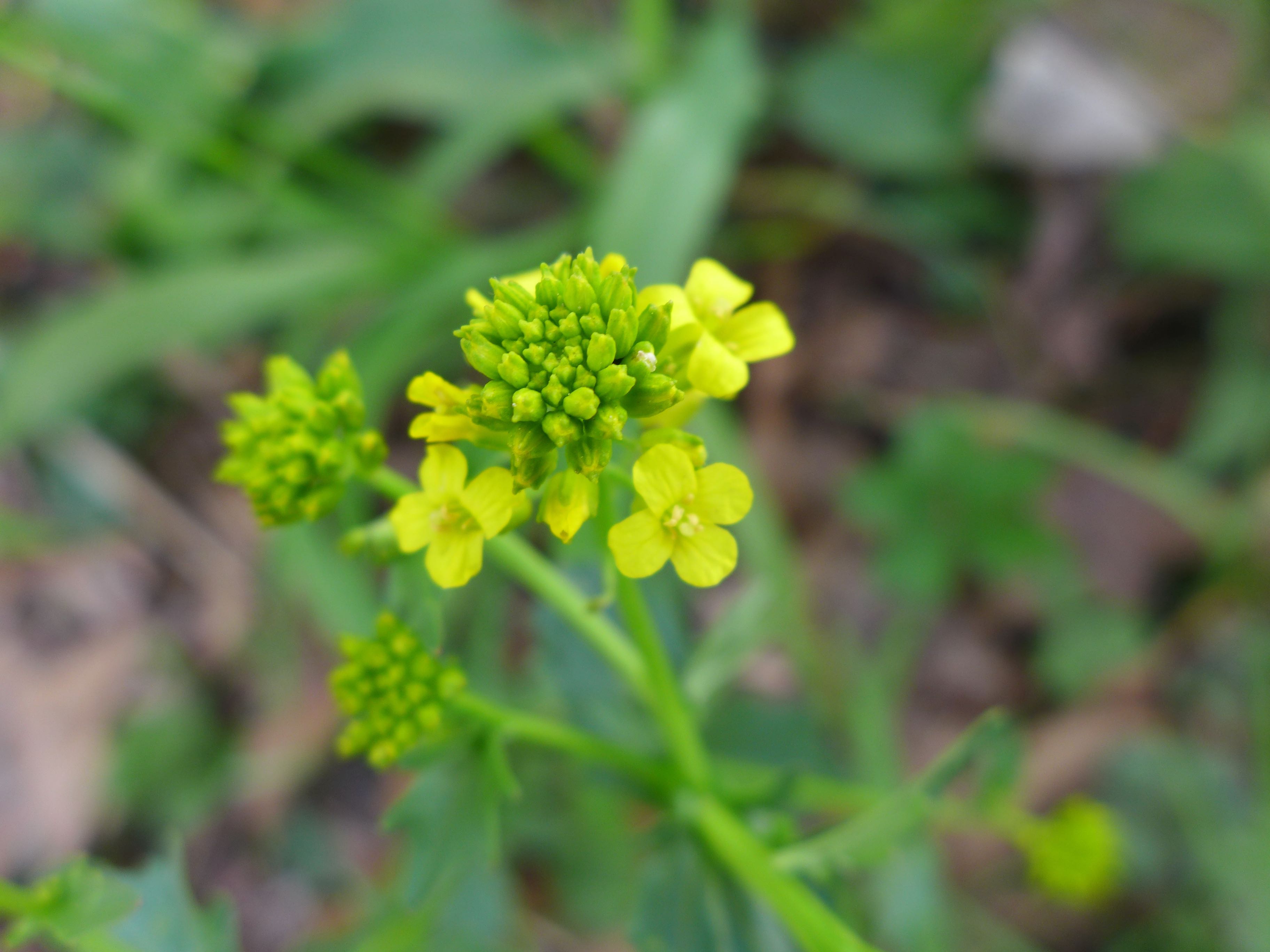
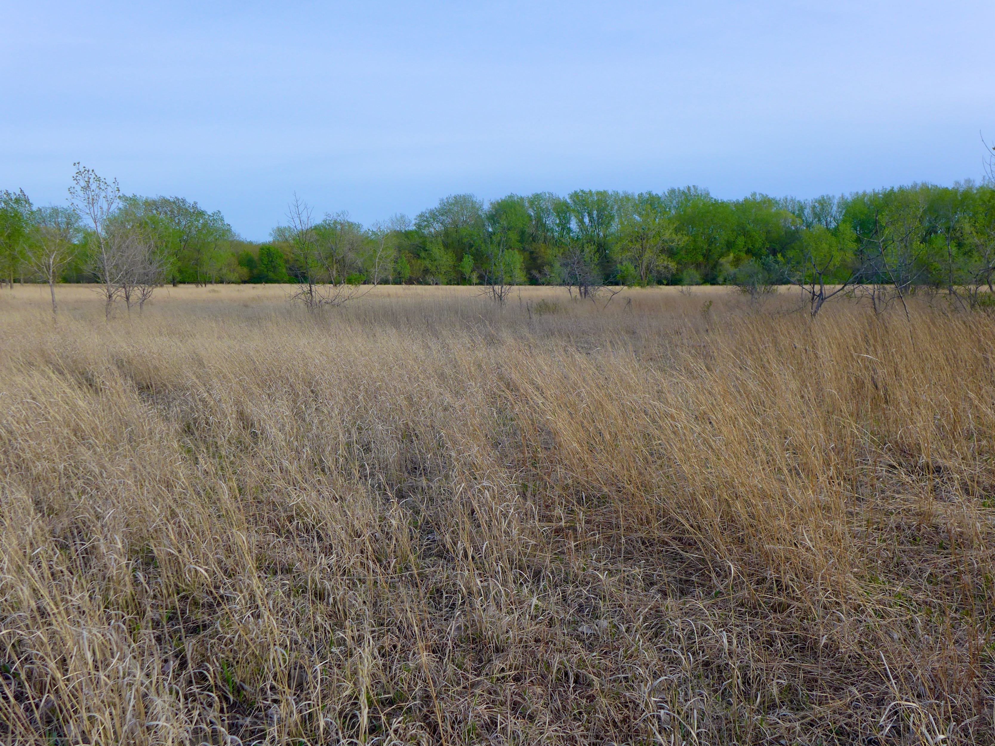
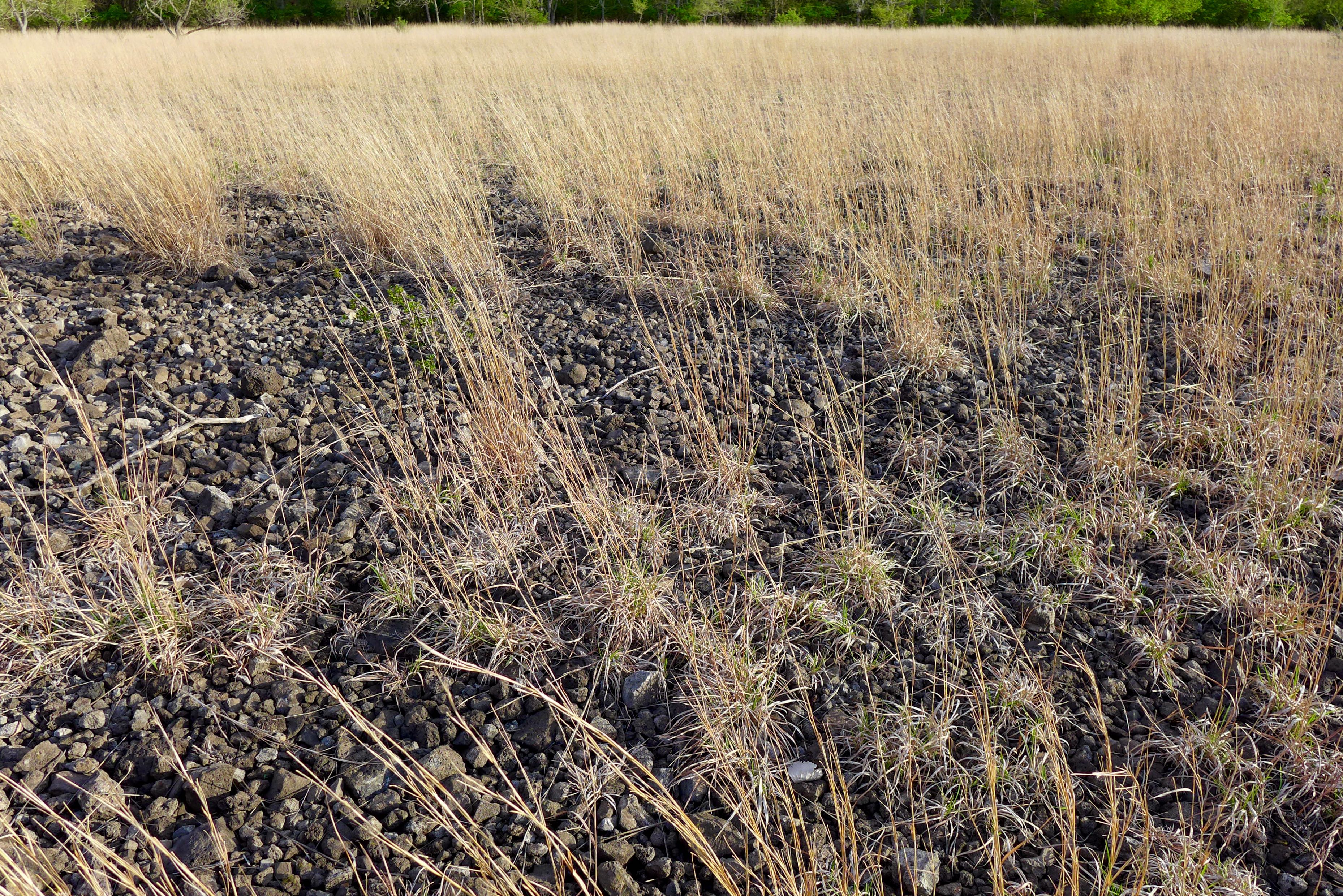

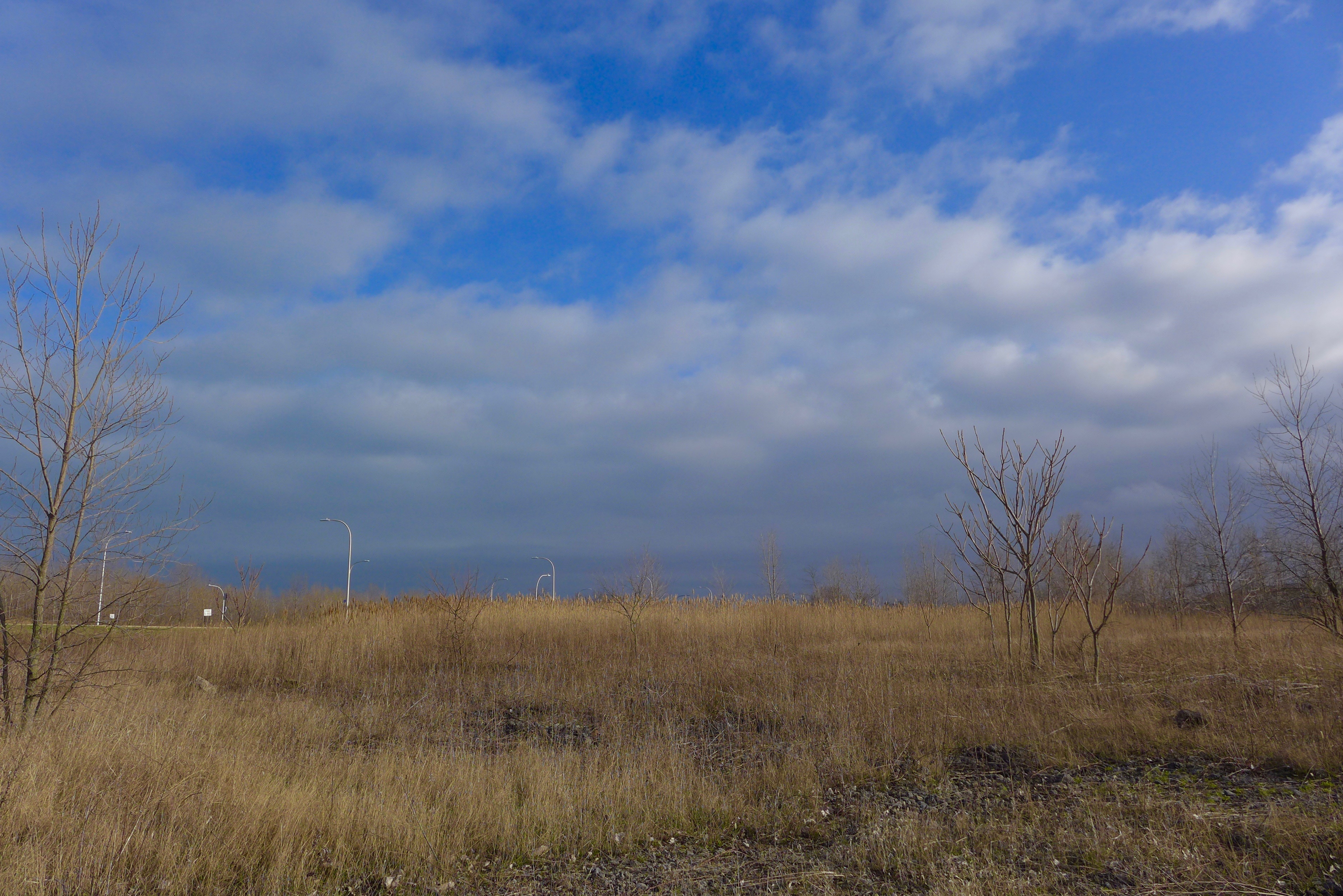
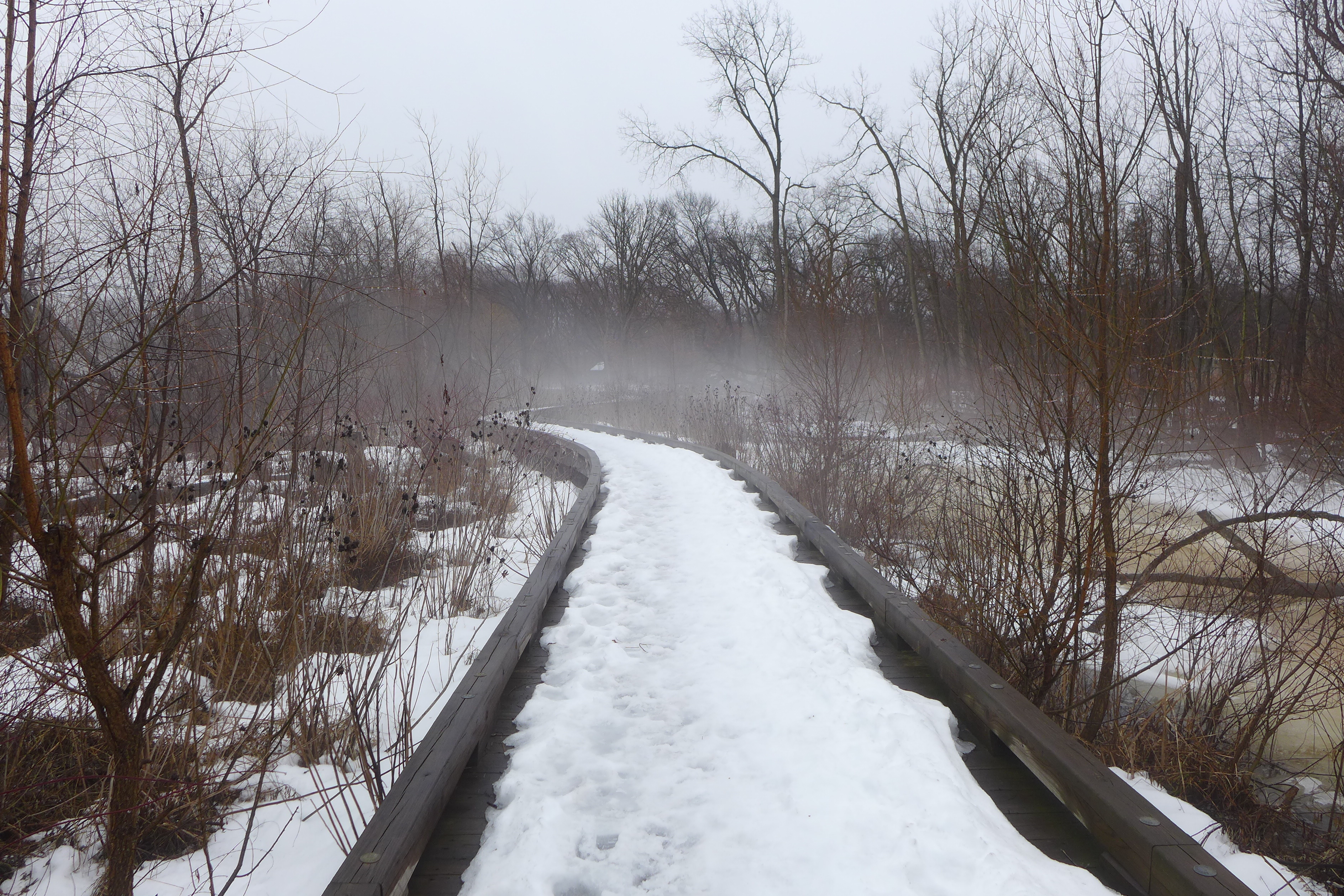
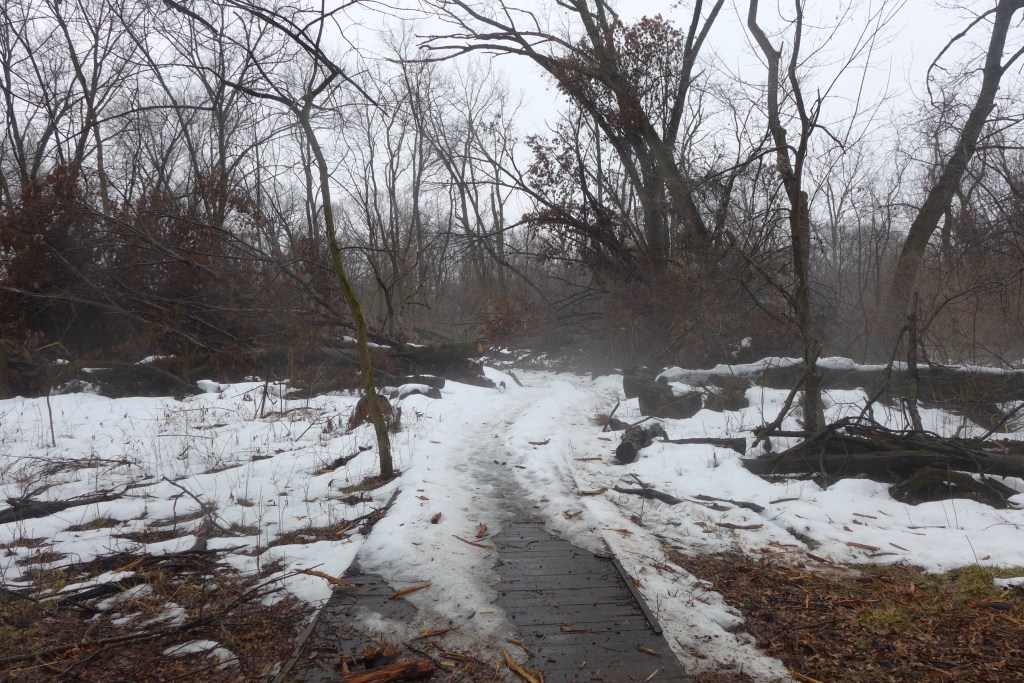
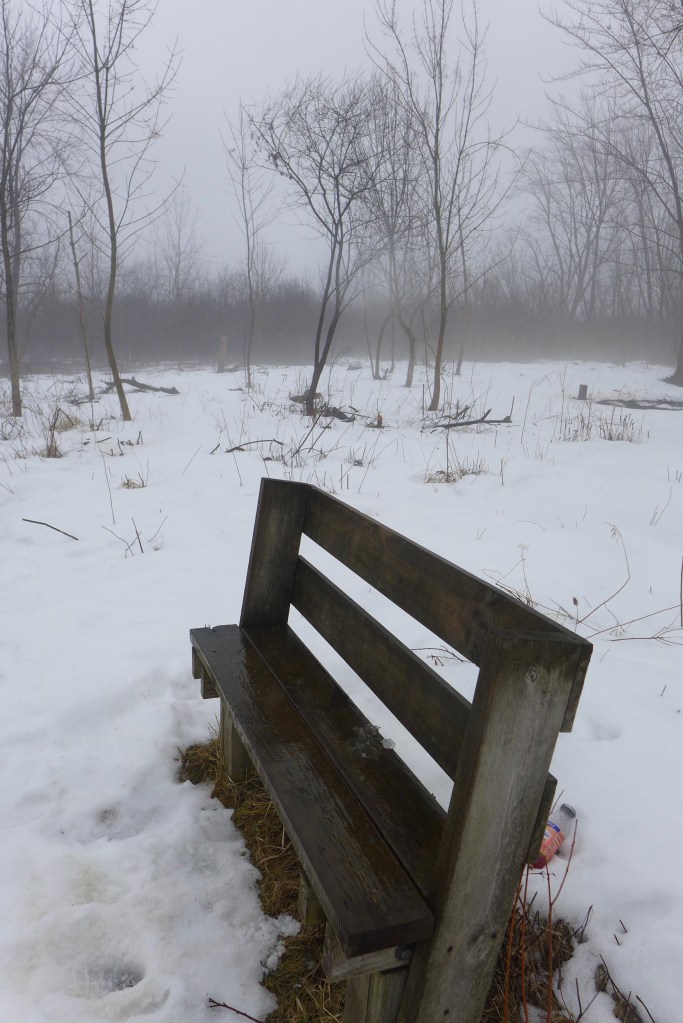
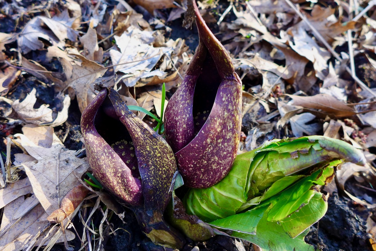
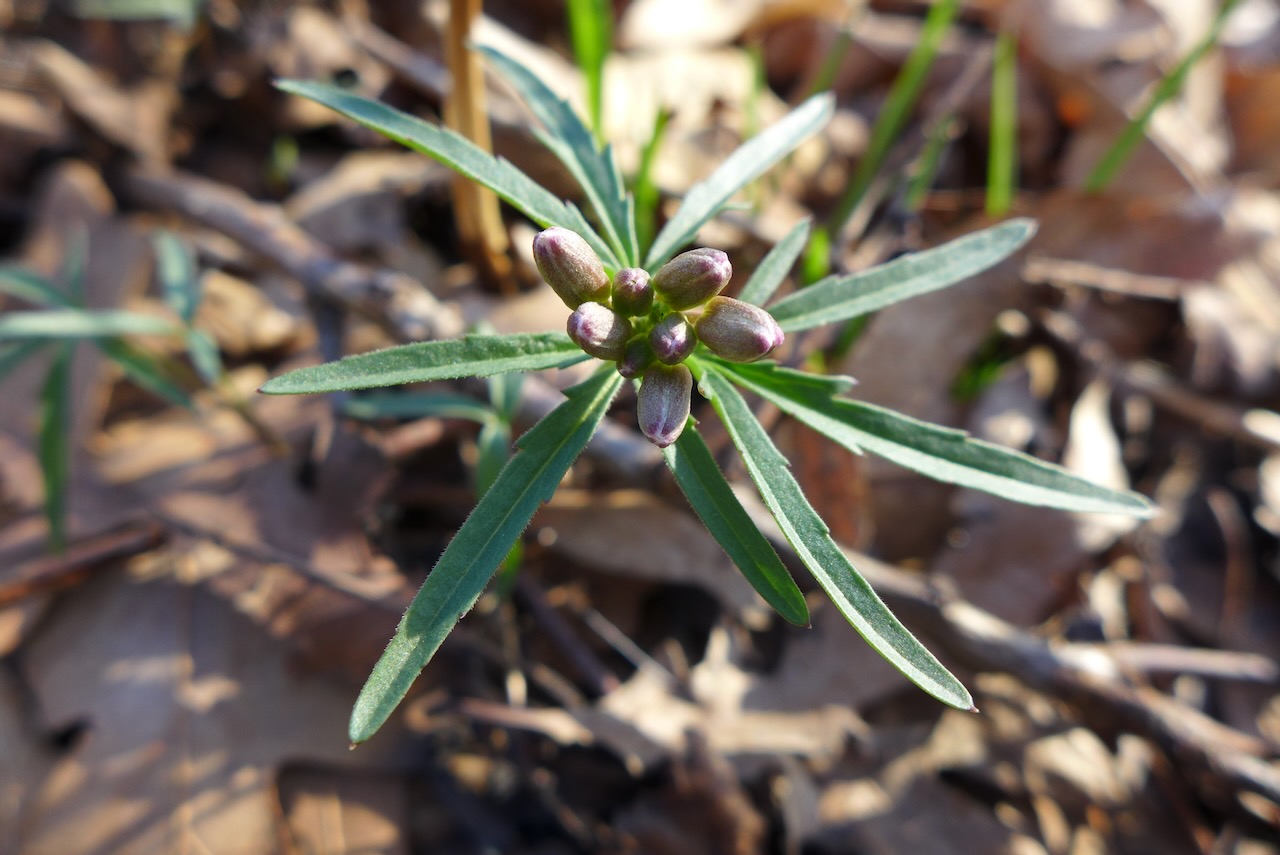
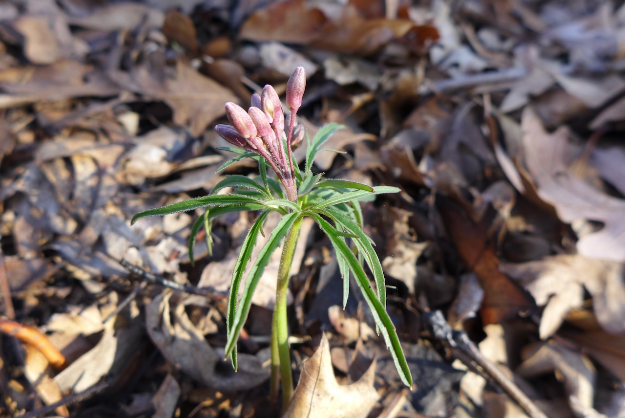
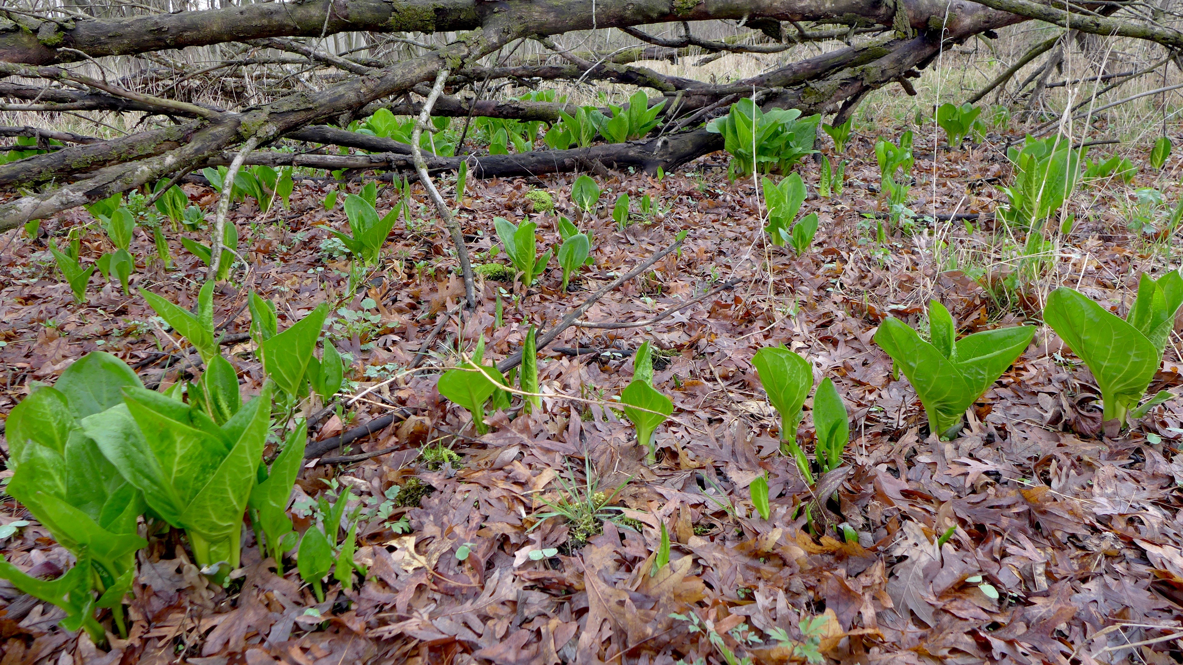
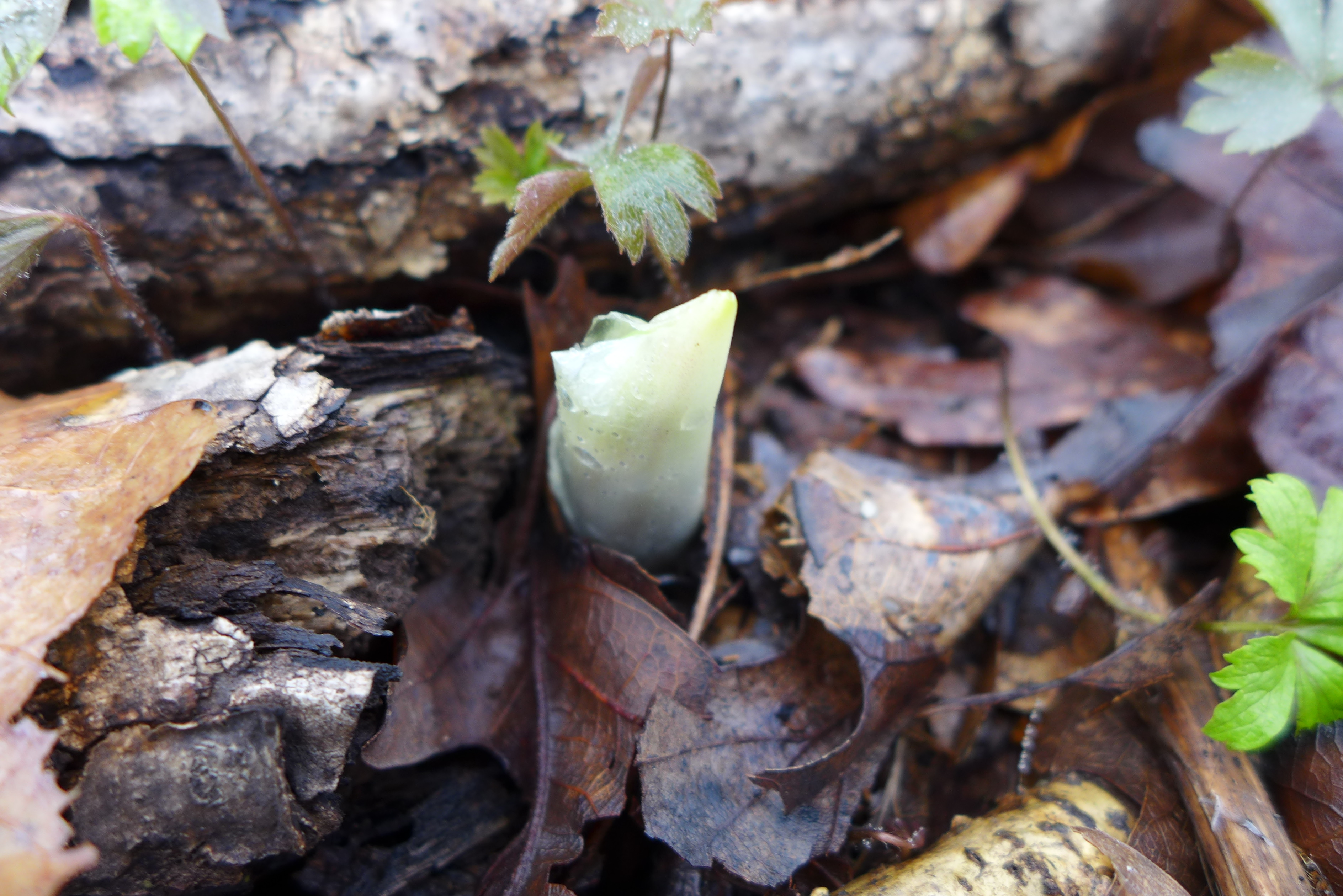
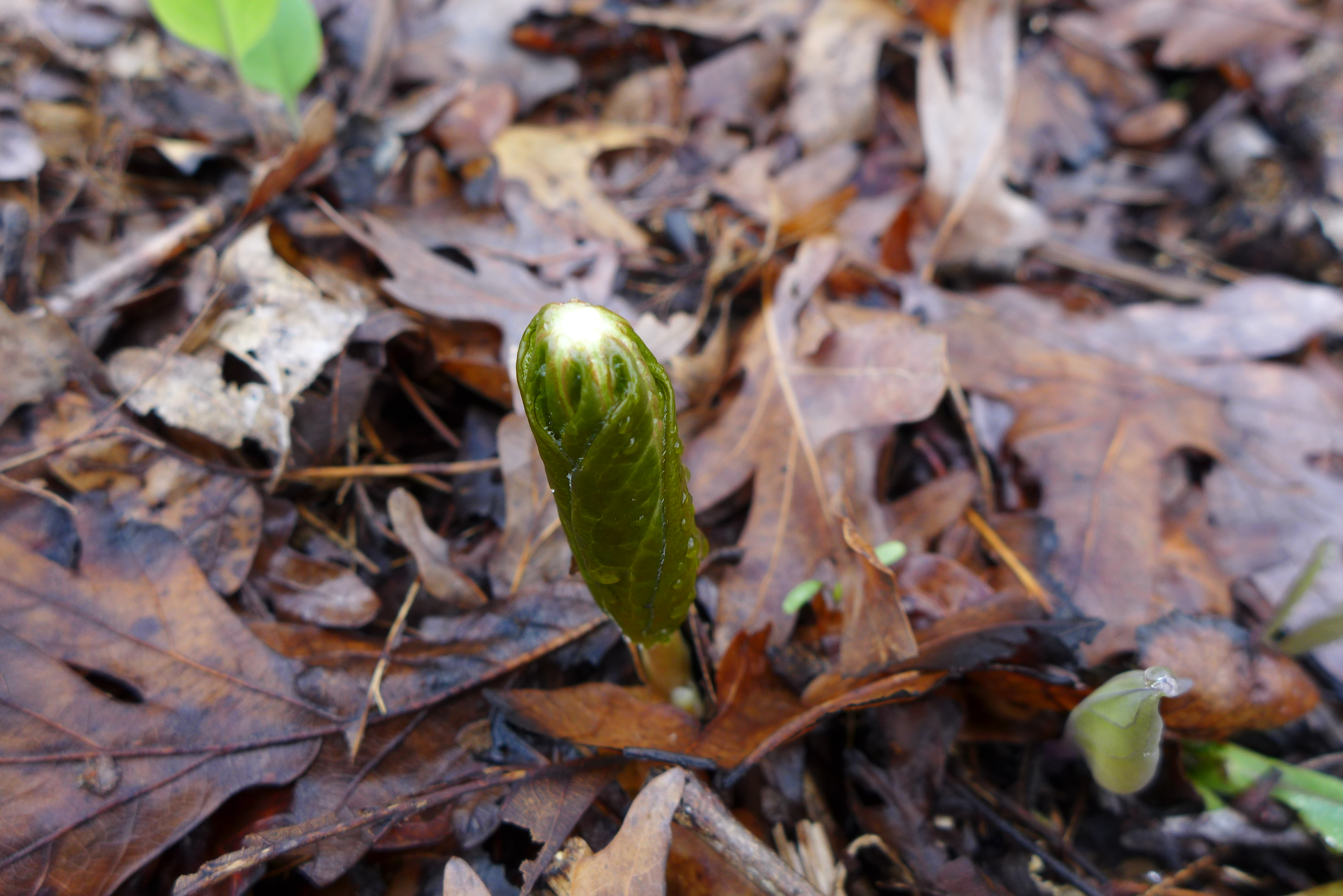
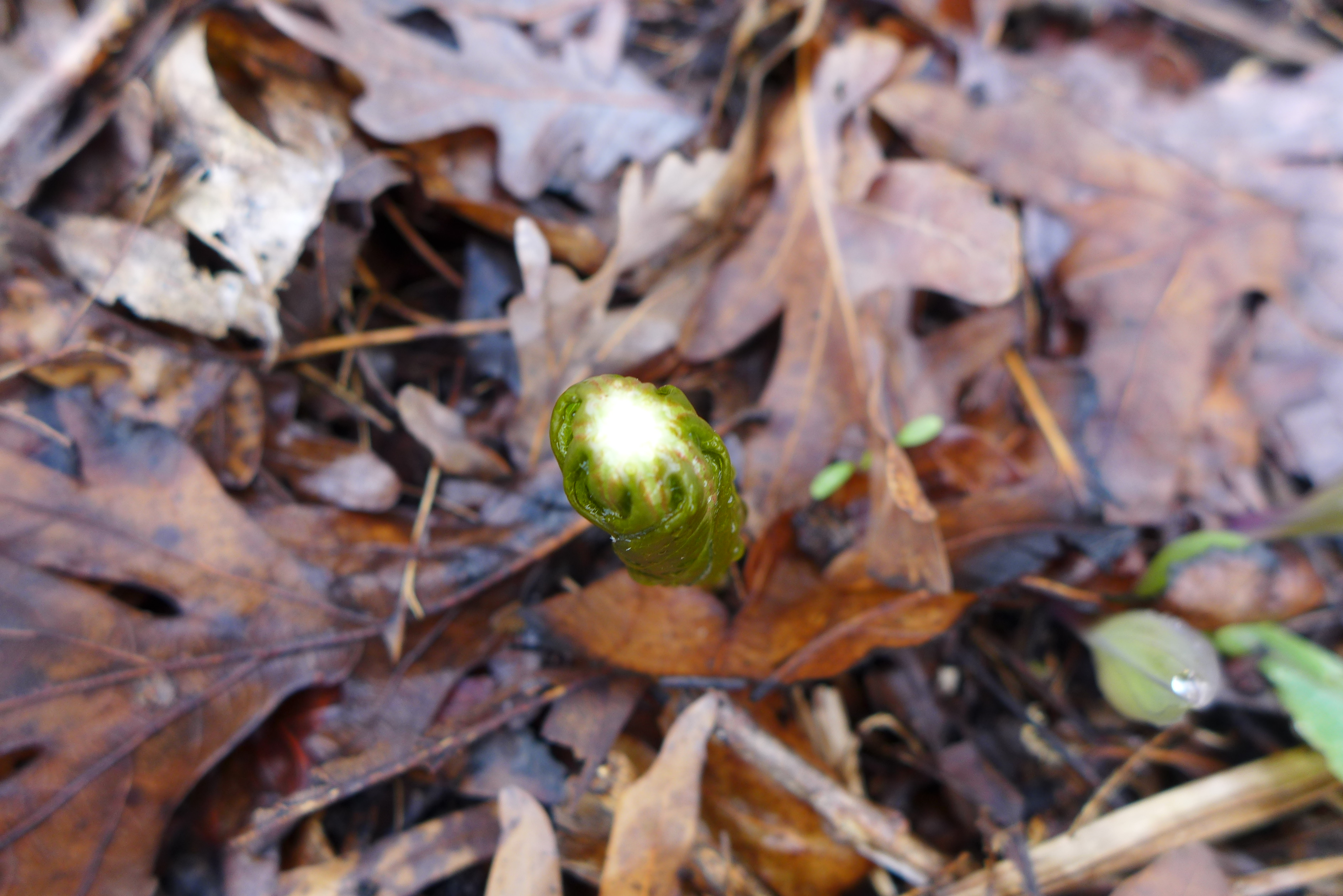
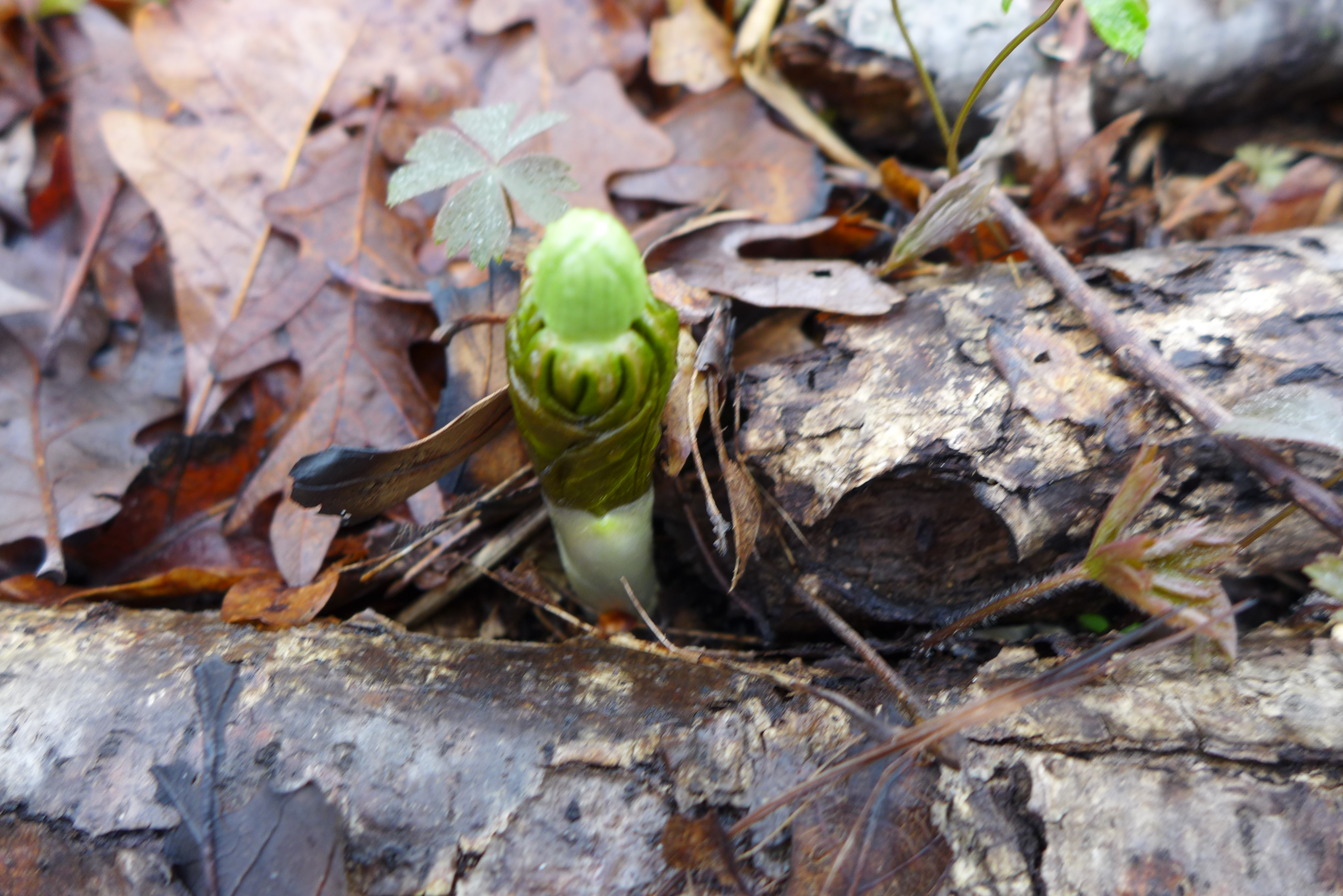
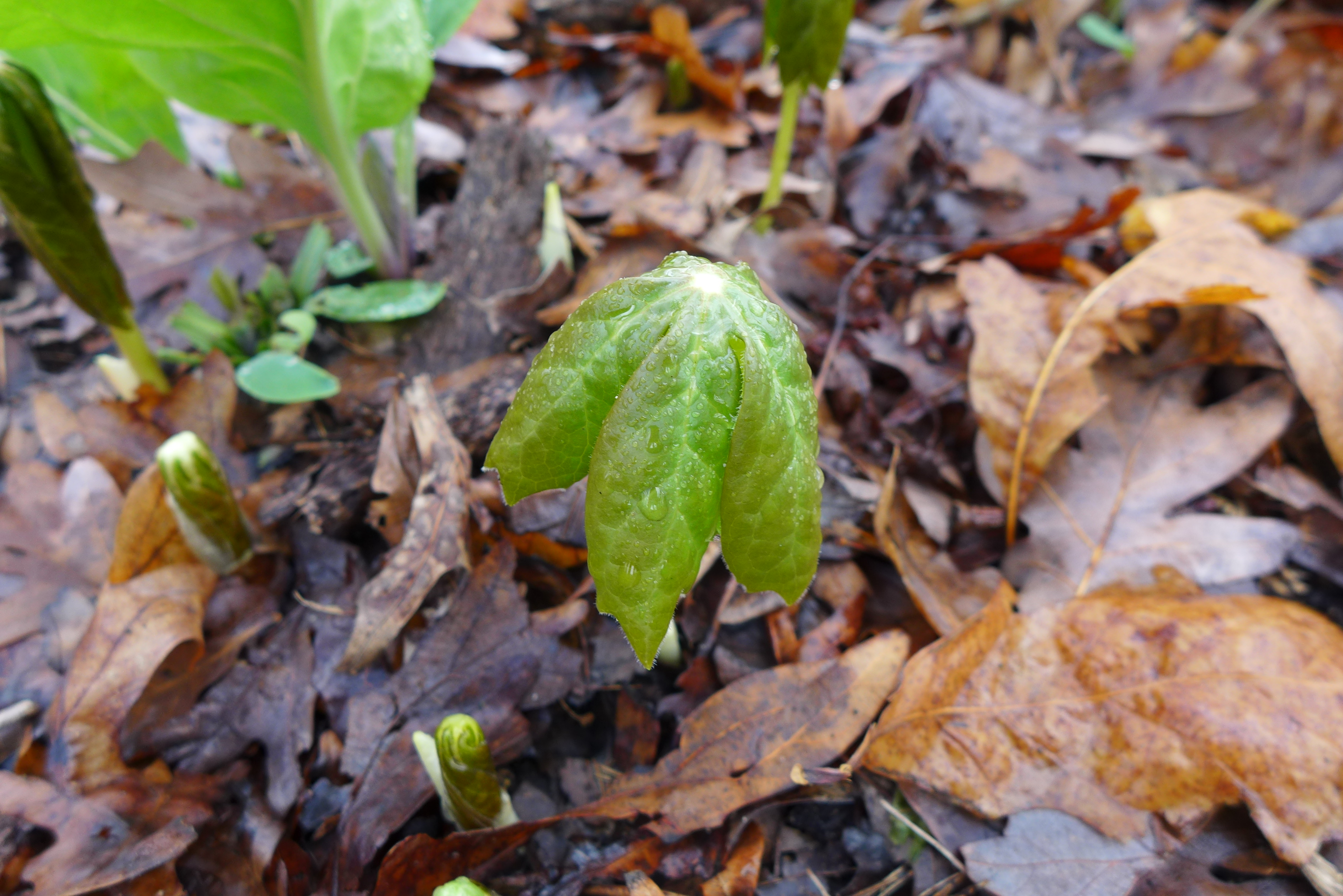
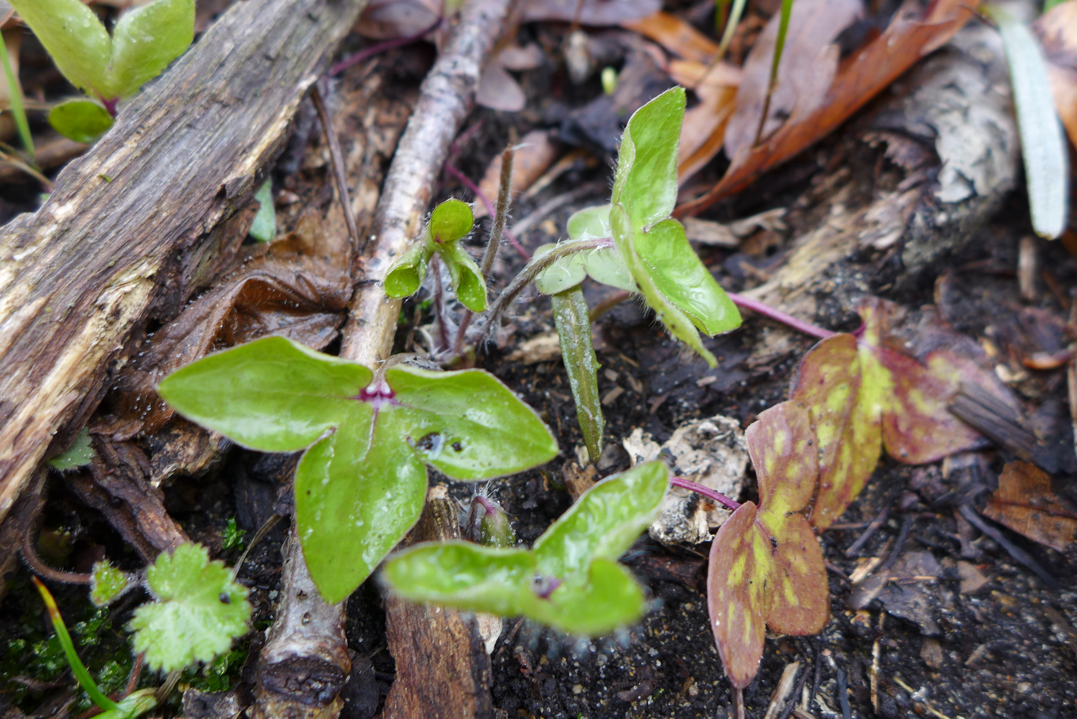
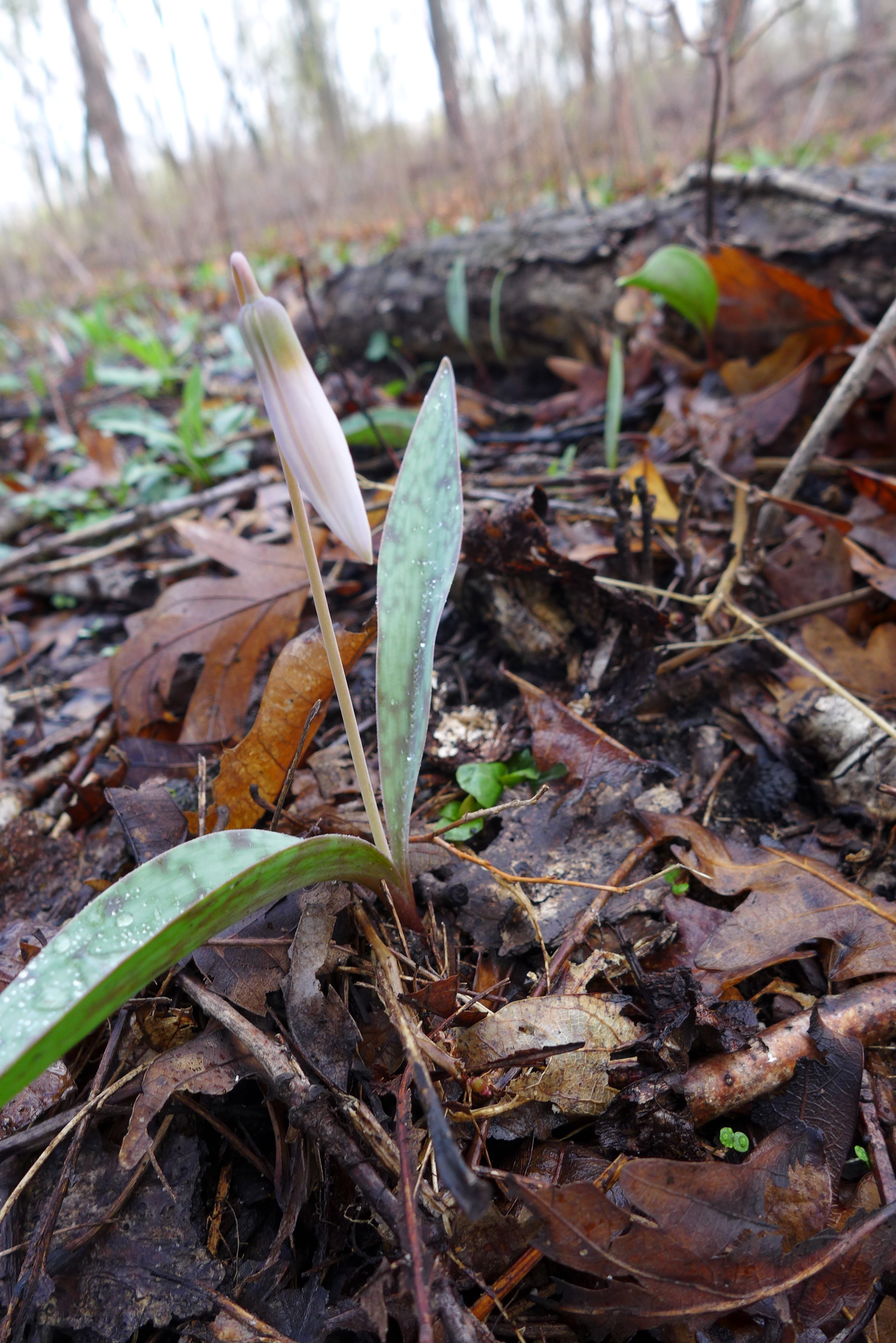
Early in the year yields many trips to the Sand Ridge complex in Calumet City – for wetlands with the year’s earliest flowers, skunk cabbage, and sandy woodland openings with the beginnings of spring ephemerals.
February 28

April 4
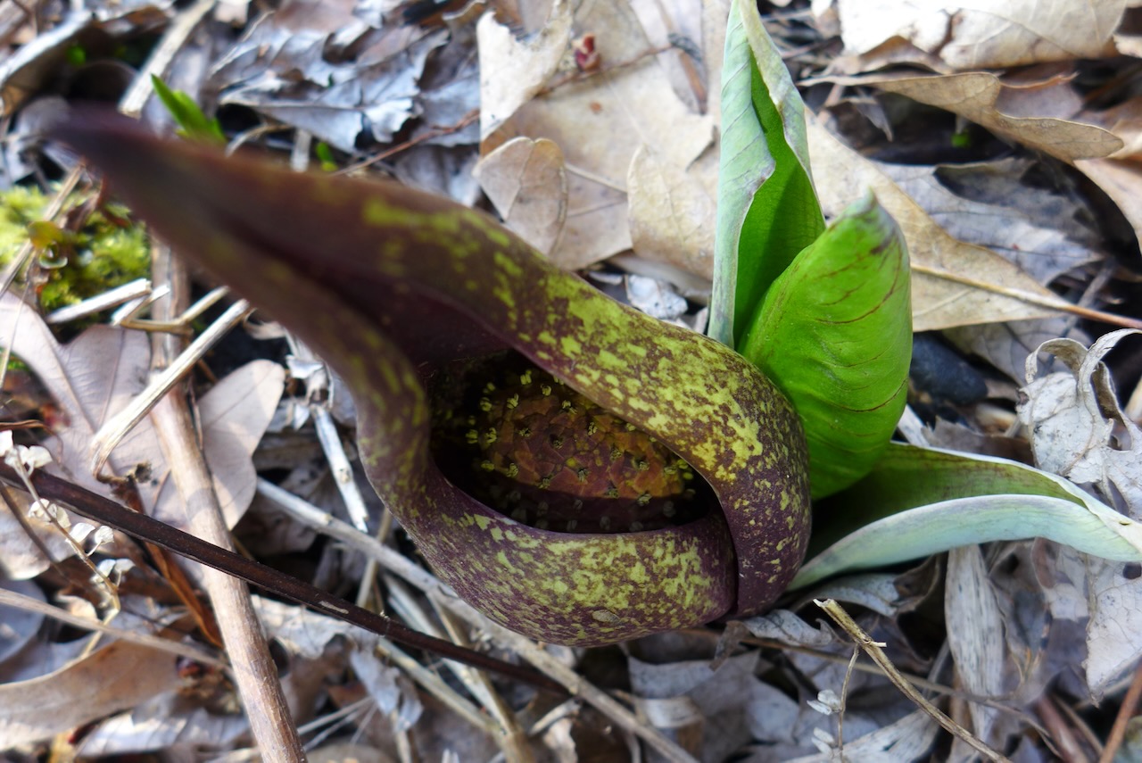
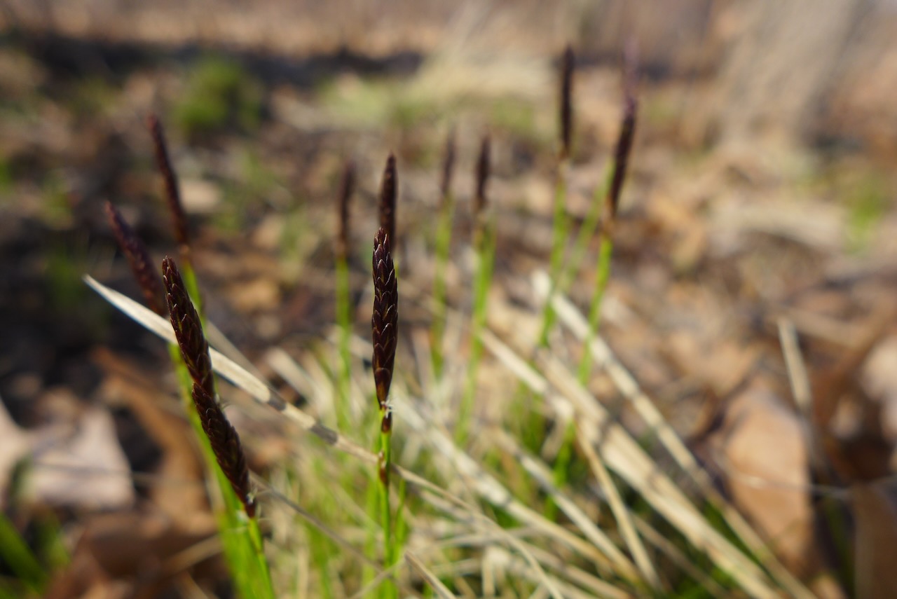
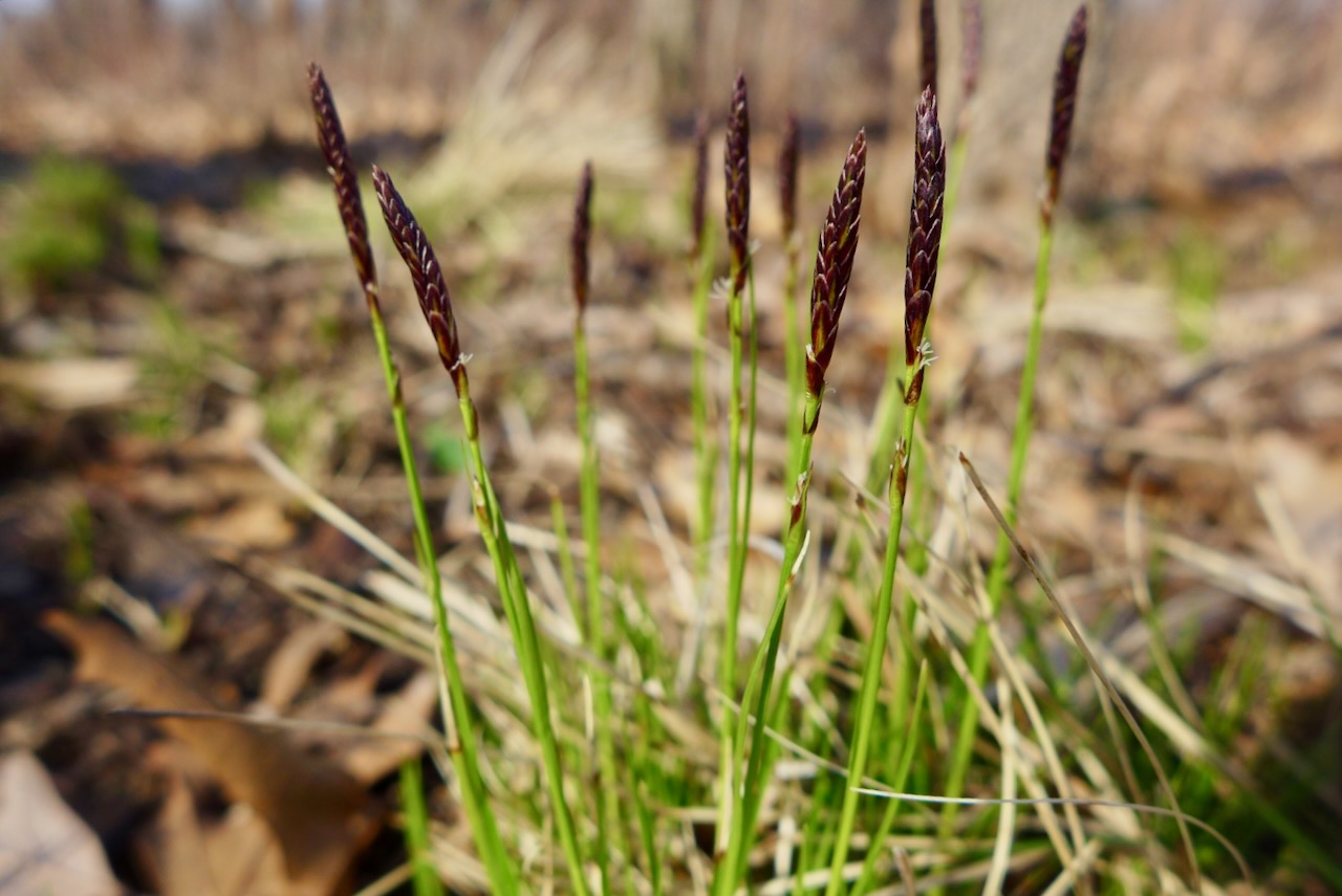
April 11


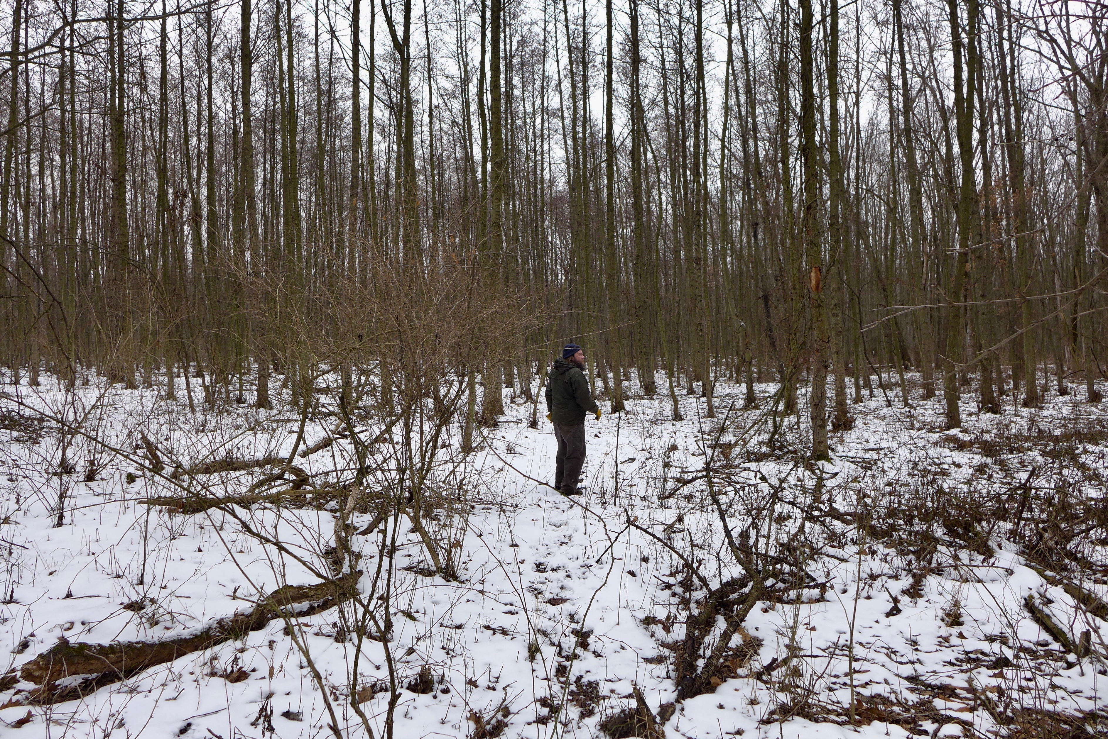
We go to the part of the Salt Creek complex in the northeast corner, often, but here, we approached Brownell Woods from the east side of 394! following the equestrian trail under the freeway.
First you walk through an old plantation,

under the freeway,
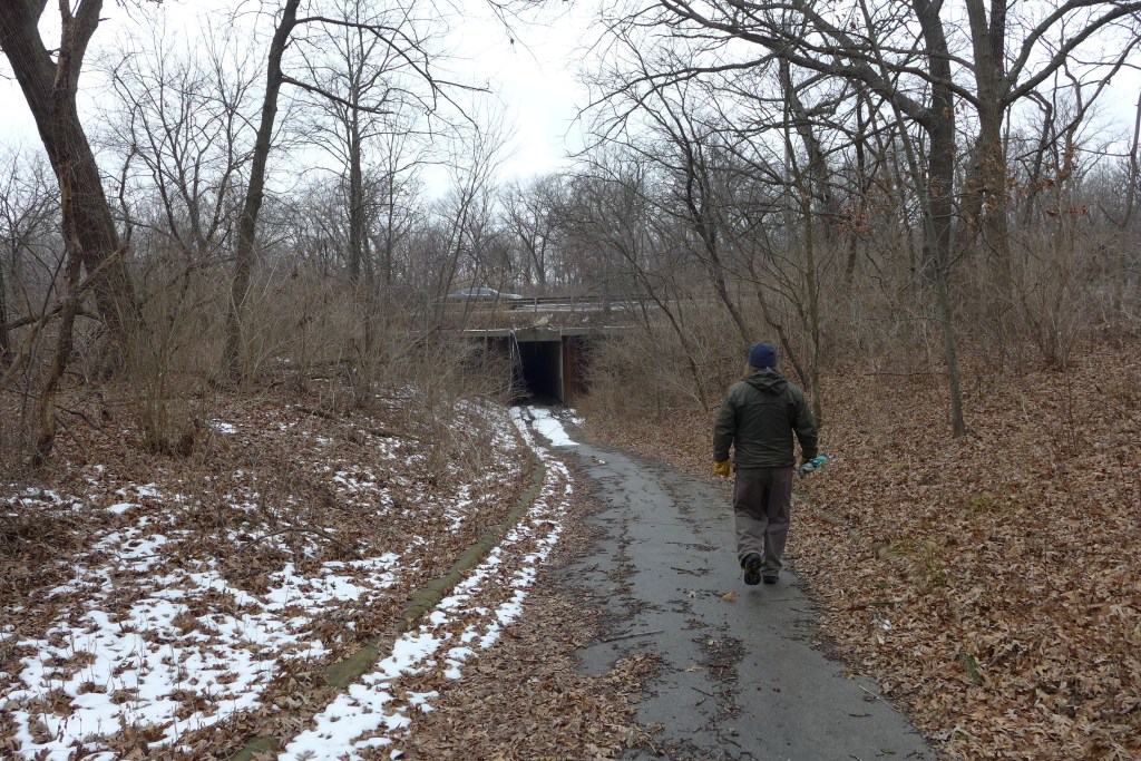
and back out on the west side, to some strange sights,


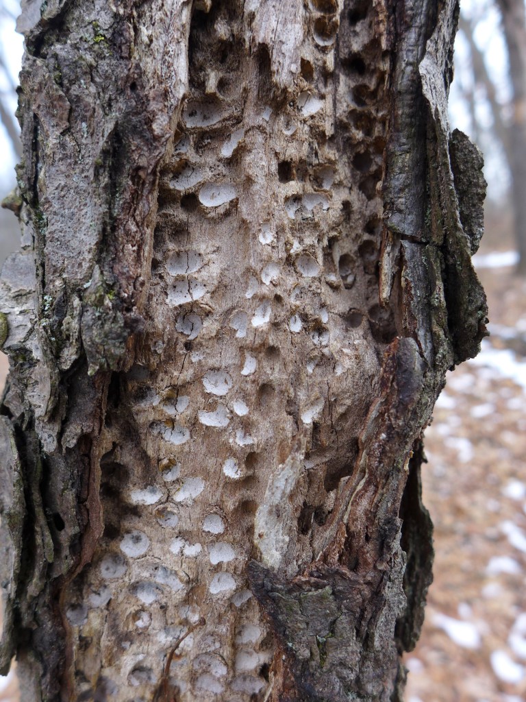
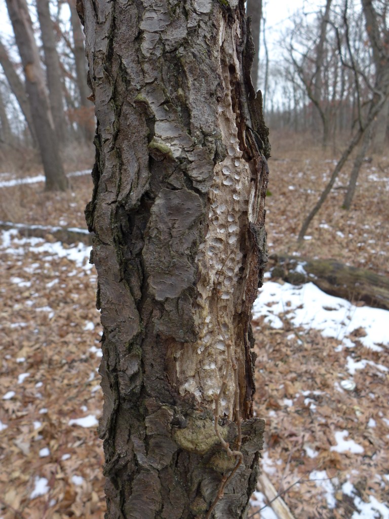
but also some familiar ones.


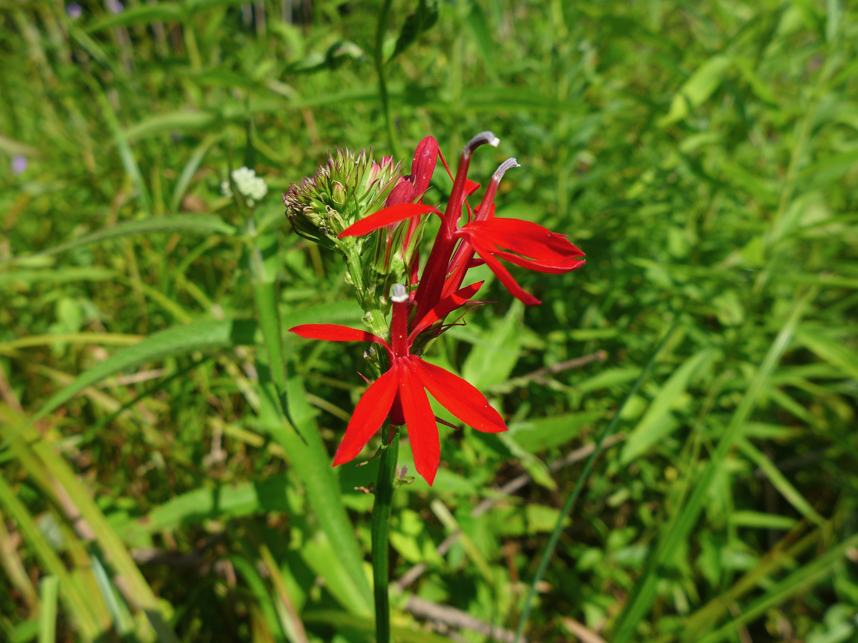
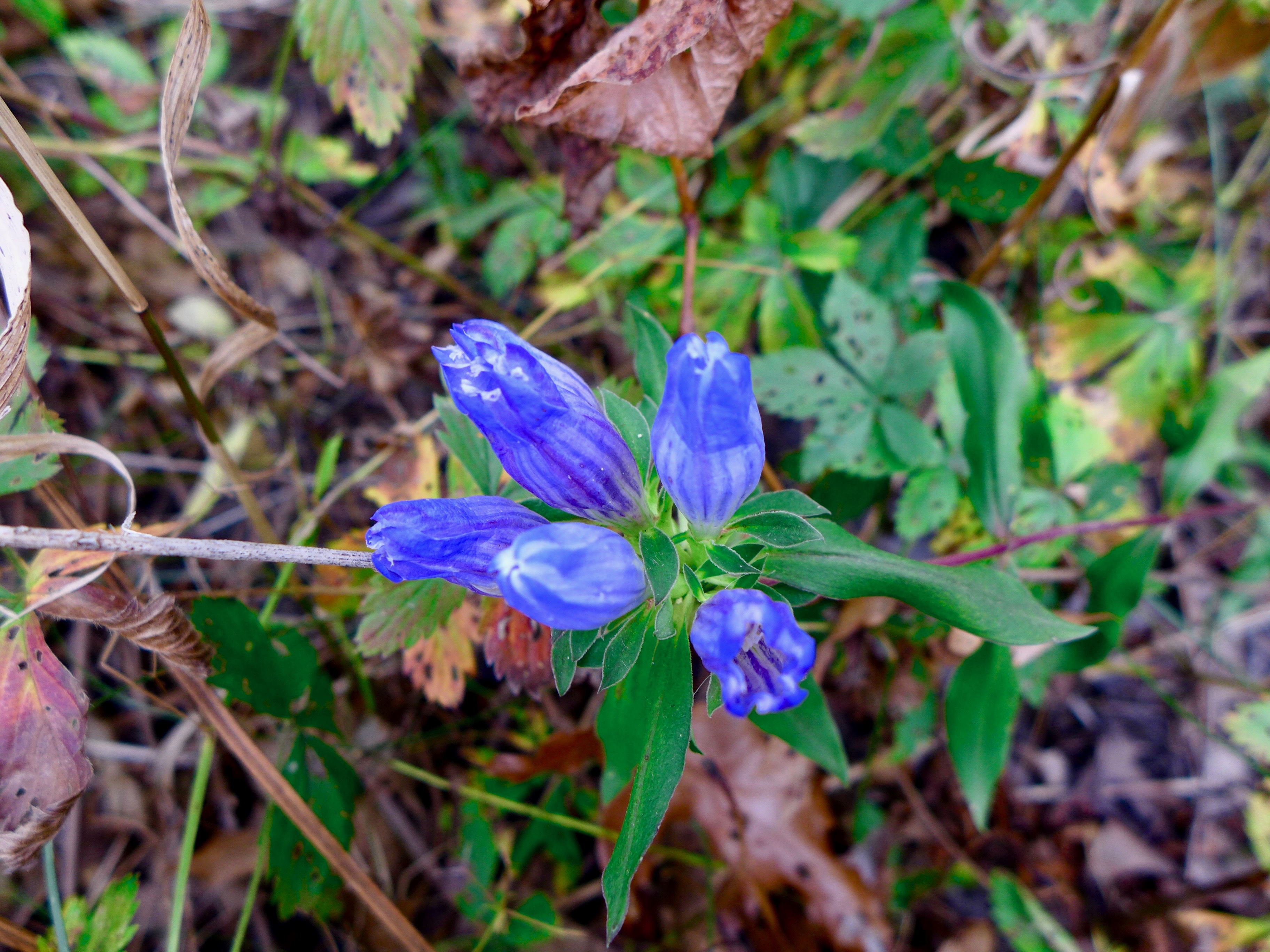
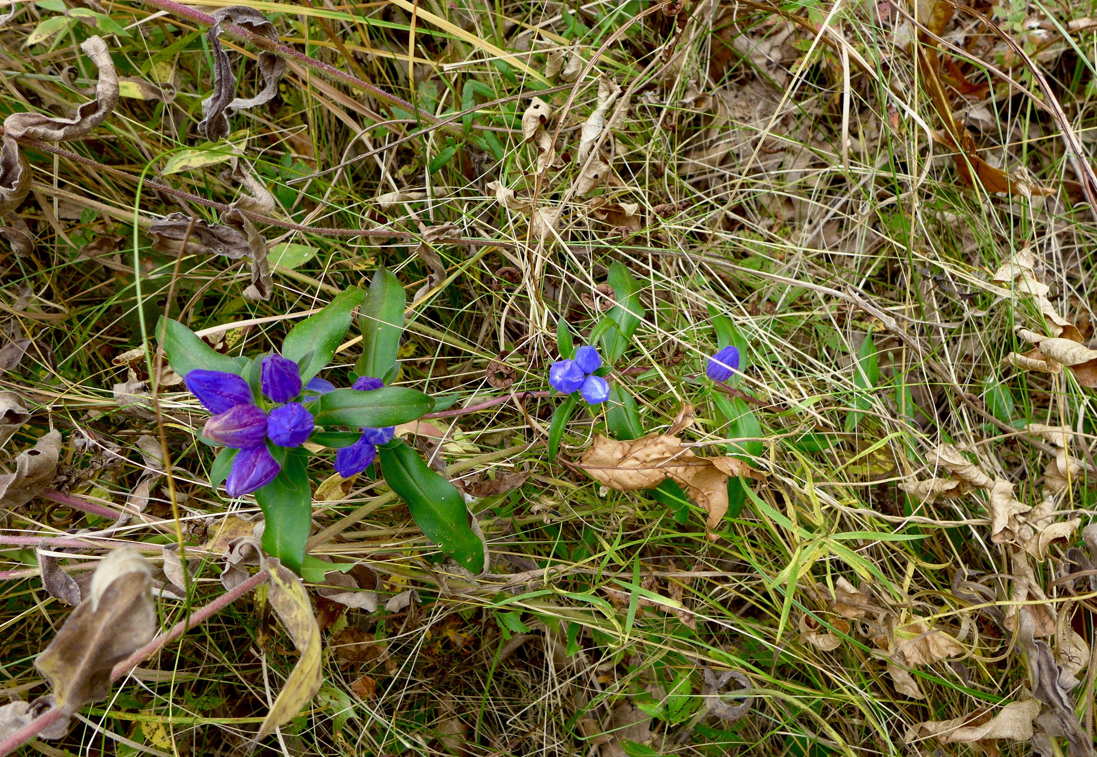
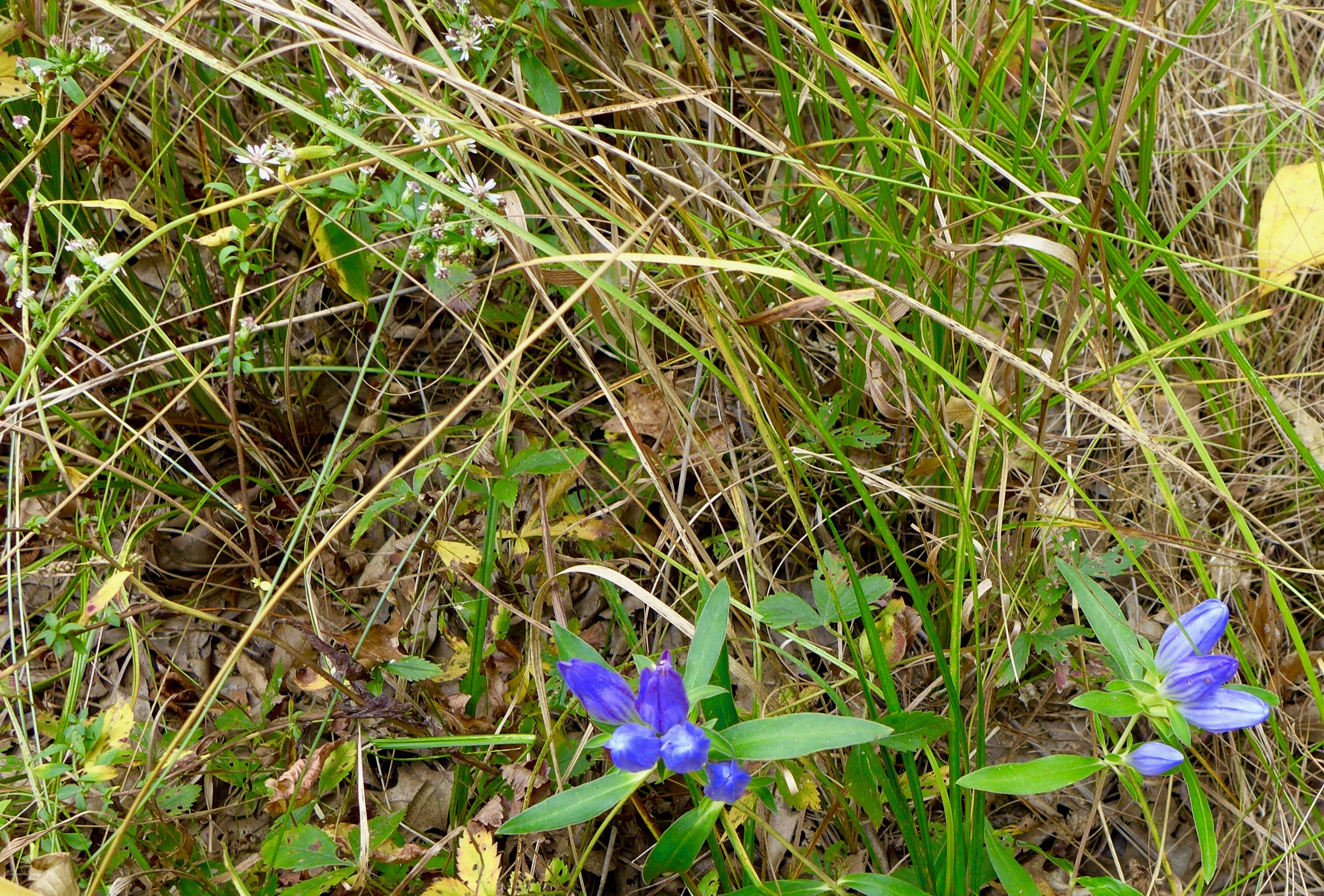
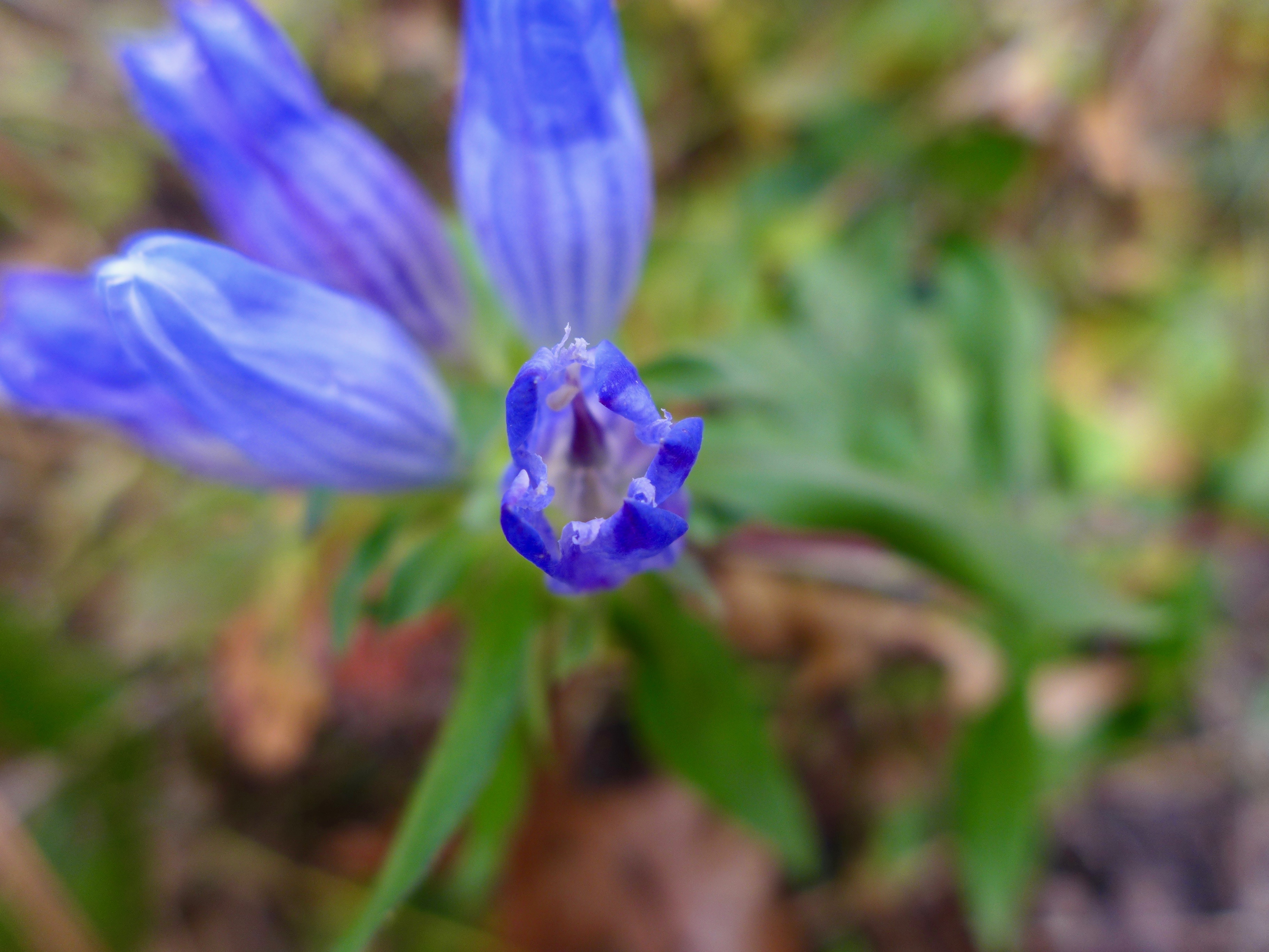
Do you ever get tired of the bottle gentians? Me neither.
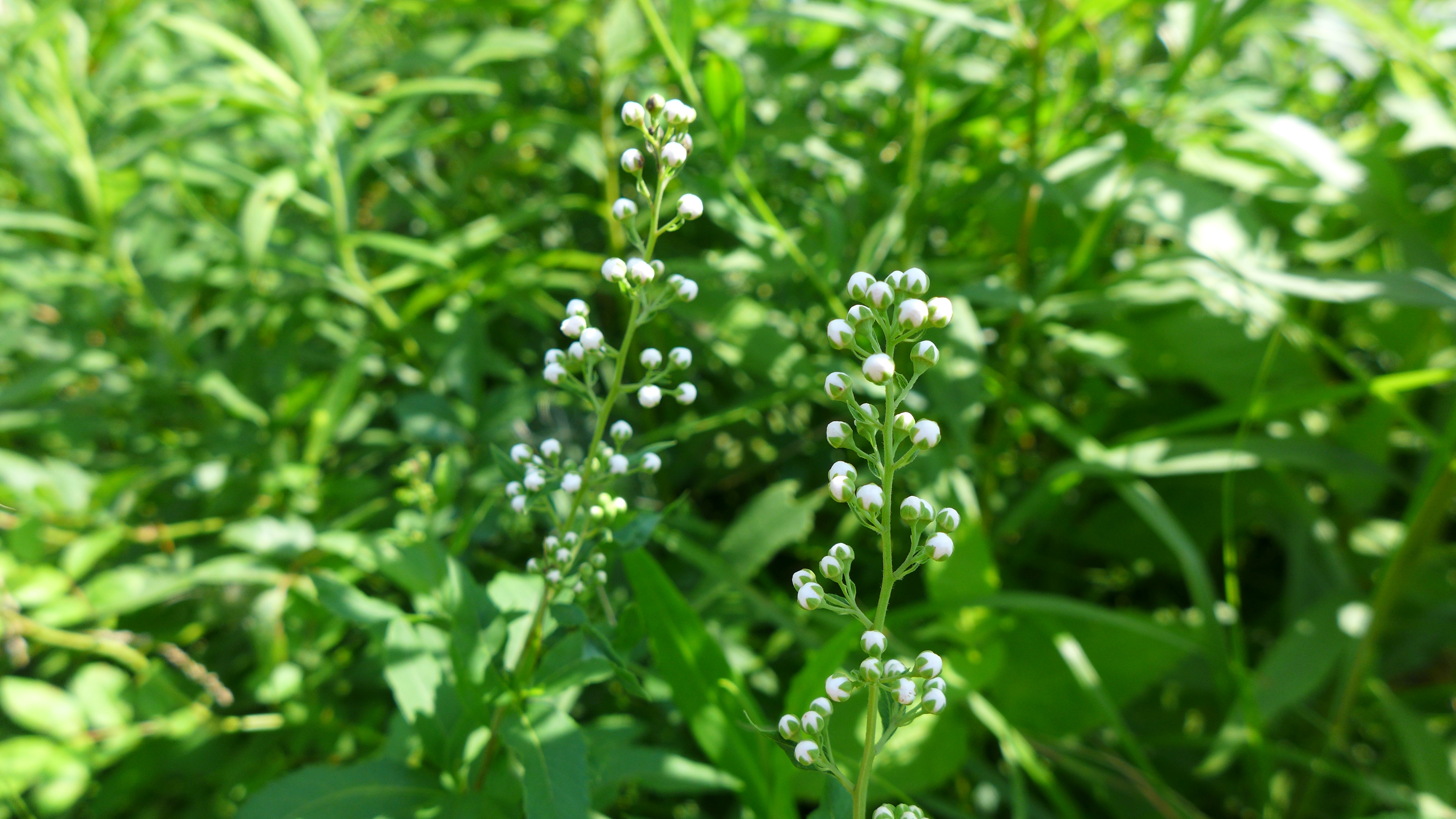
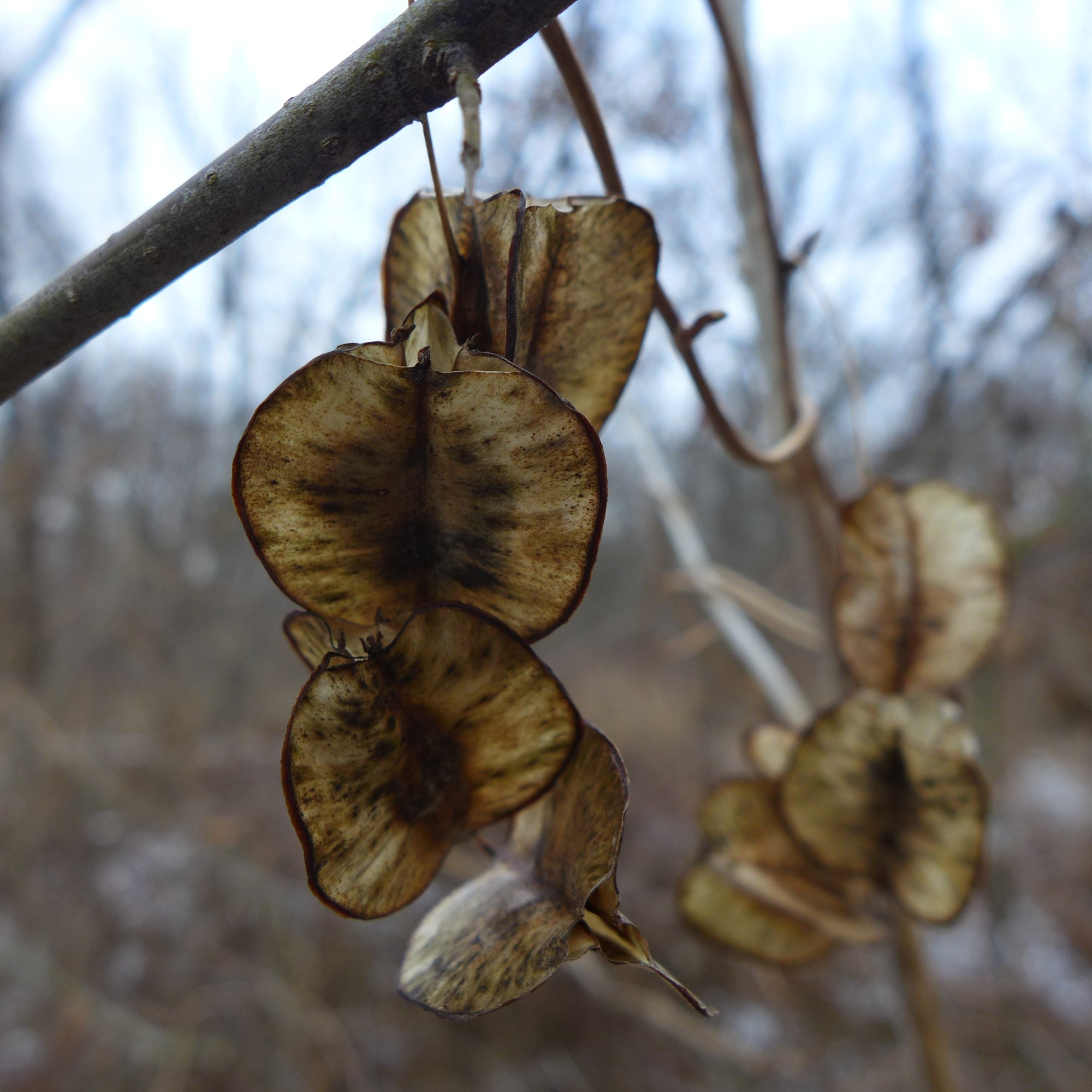
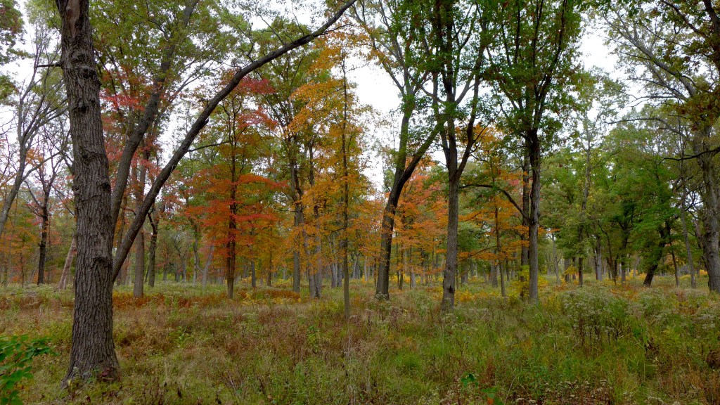
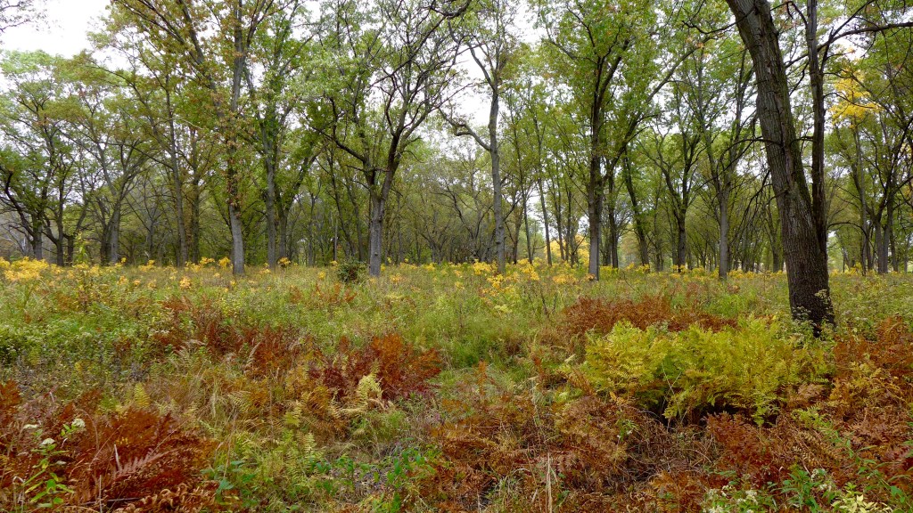
and there is so much else this season, too!


We hadn’t been to the south part of Beaubien in years. We thought we might get a chance to see lots of roosting birds in the trees, but I think we were too early in the evening.


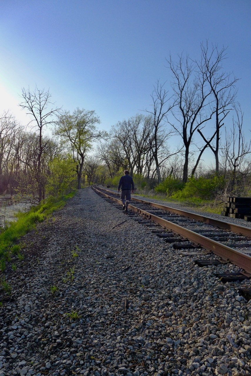
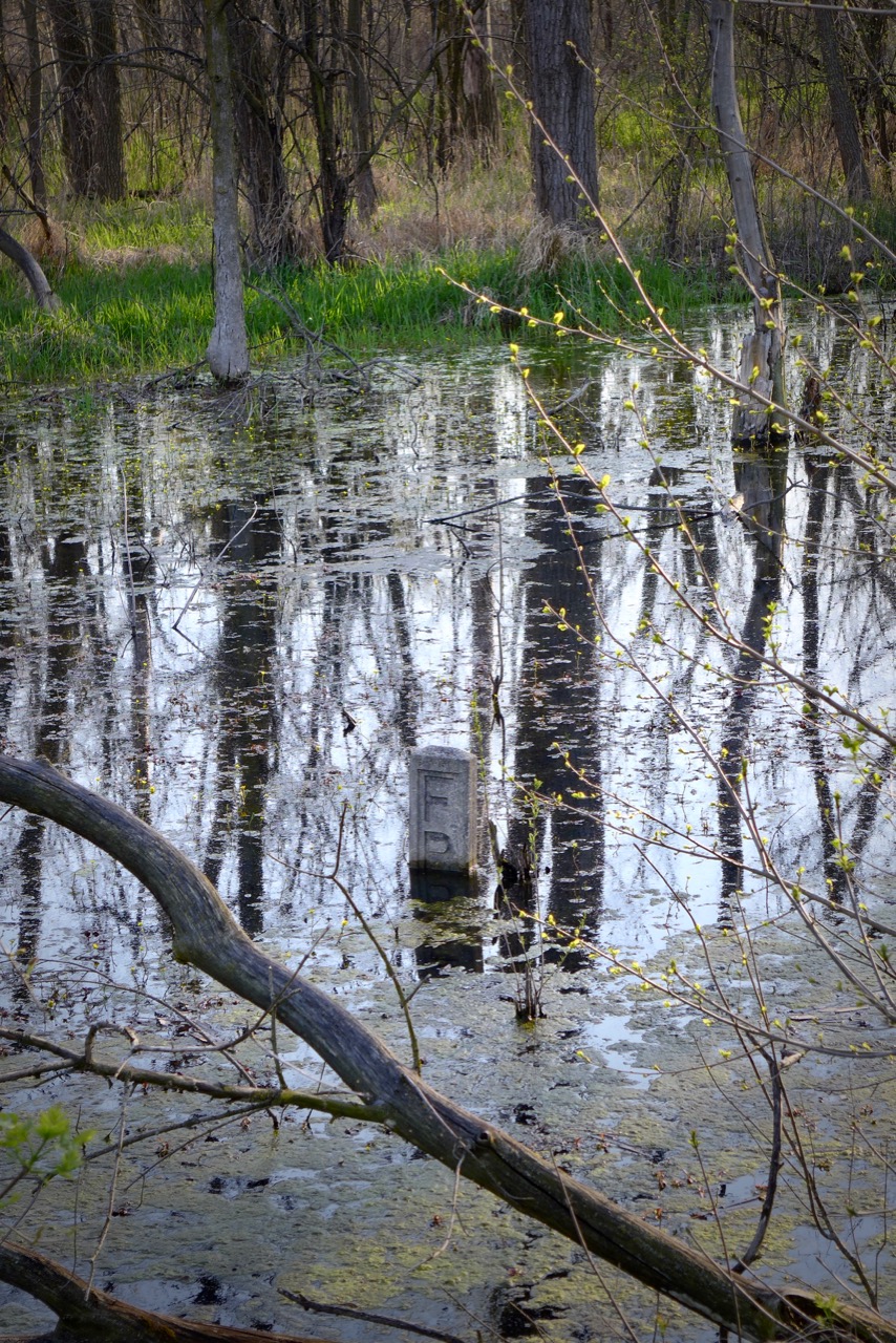
We wanted to get close to the Little Cal so we went down by the railroad tracks, and like most days we CRAC, we thank ourselves for wearing muck boots.
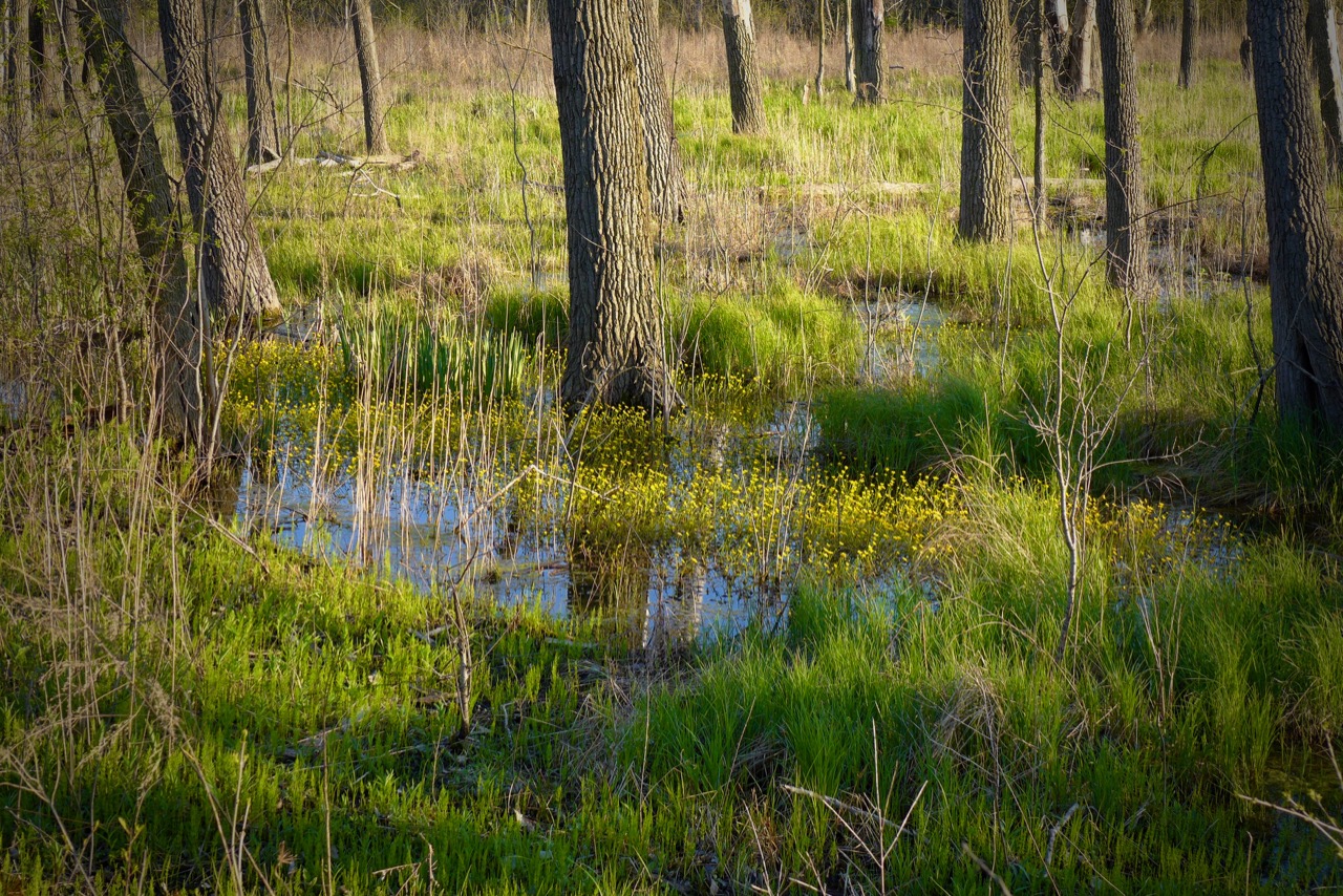
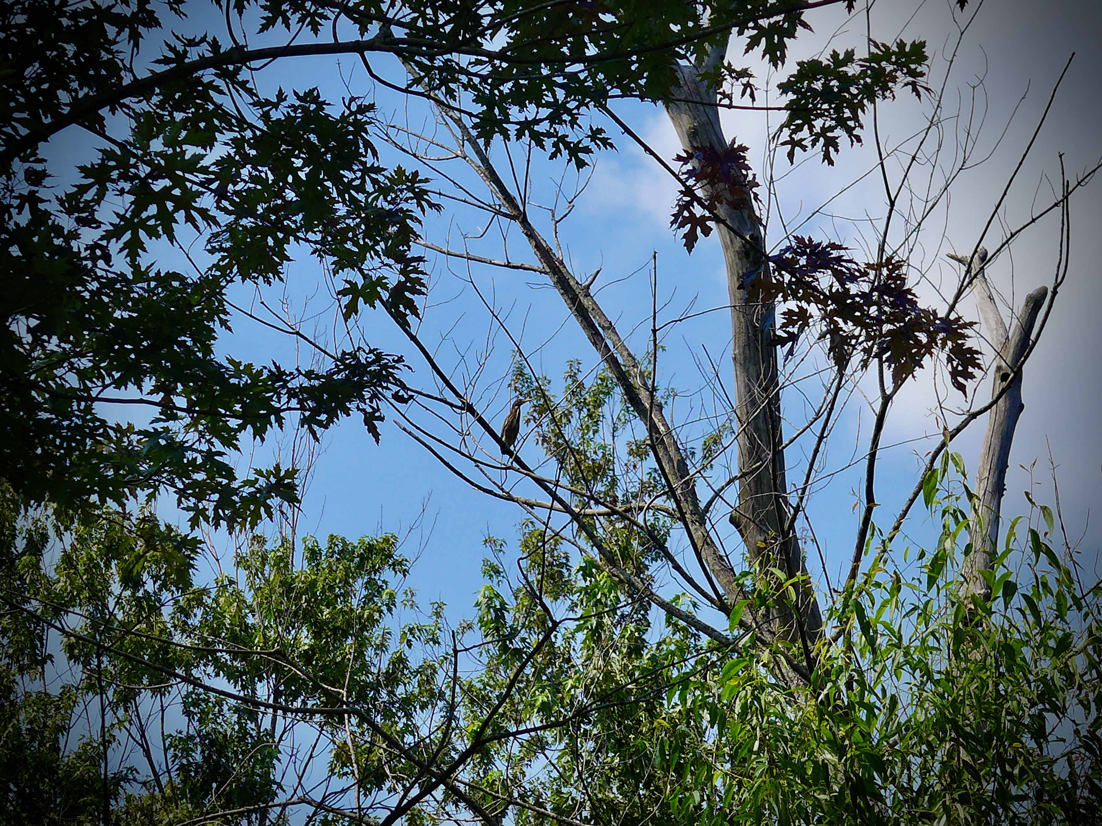
I couldn’t get a good picture of the juvenile bald eagle we saw, but I promise it was there! The trees around this wetland are just the spot to rest and recuperate before going for a hunt over the Little Calumet River.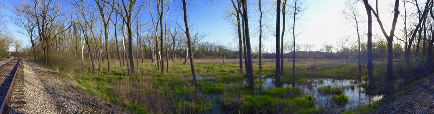


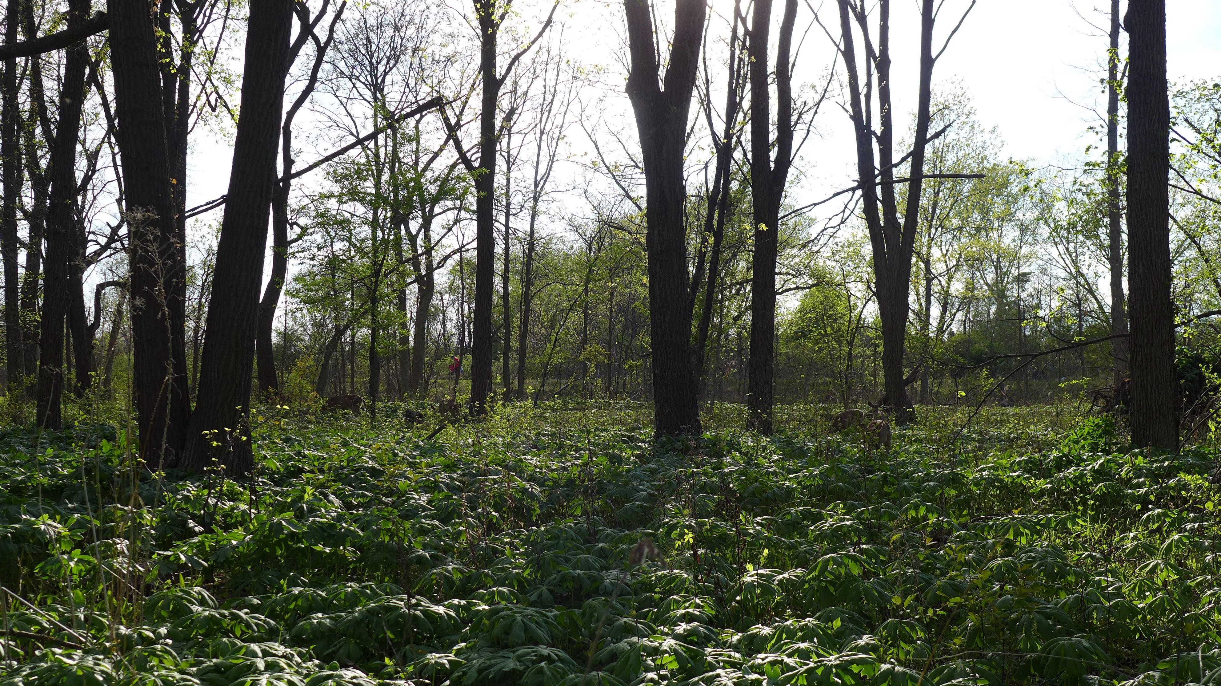
I’ve spent many months at Marian Byrnes Park- mostly doing research and botanizing. It’s where my favorite slag wetland is, a secret garden hidden behind a lovely woodland stroll. Just a few years ago, this park was pretty overgrown and inaccessible. Now it’s such a gem, with great shaded walking trails in a narrow savanna-esque strip, right off of 103rd.


Out on the slag, we see a human-modified ecosystem, just like the woodland (which of course is a highly managed park) but it’s such an unfamiliar landscape. You see remnants of its recent past as a flydumping mecca and plants that looks like weeds on concrete.


But with little human intervention for several decades in the management of this ecosystem, one could argue it’s more “natural” than the familiar tall trees and open understory along the path.


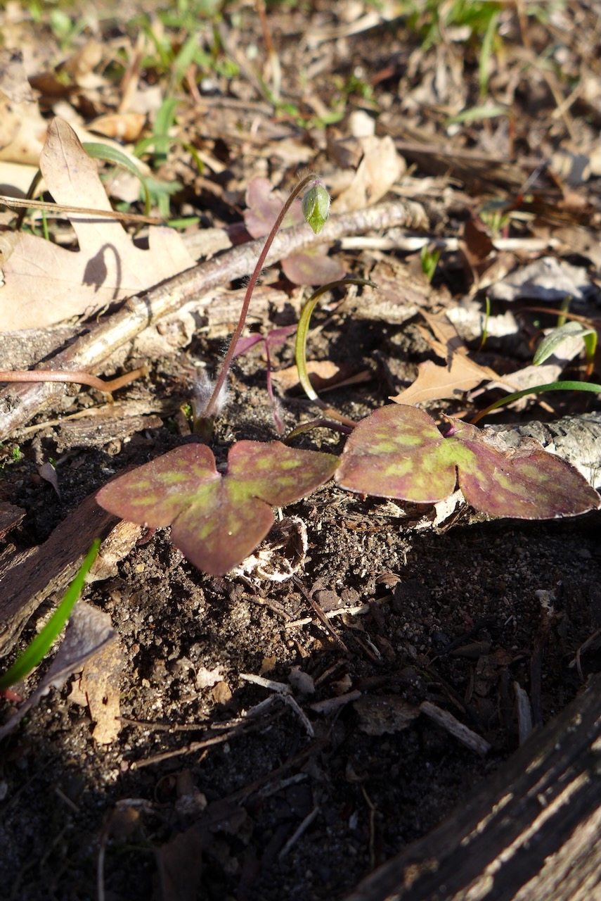
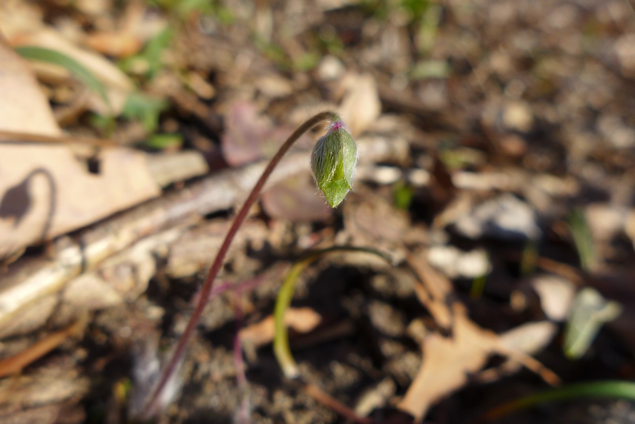
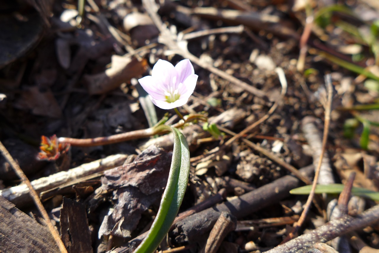
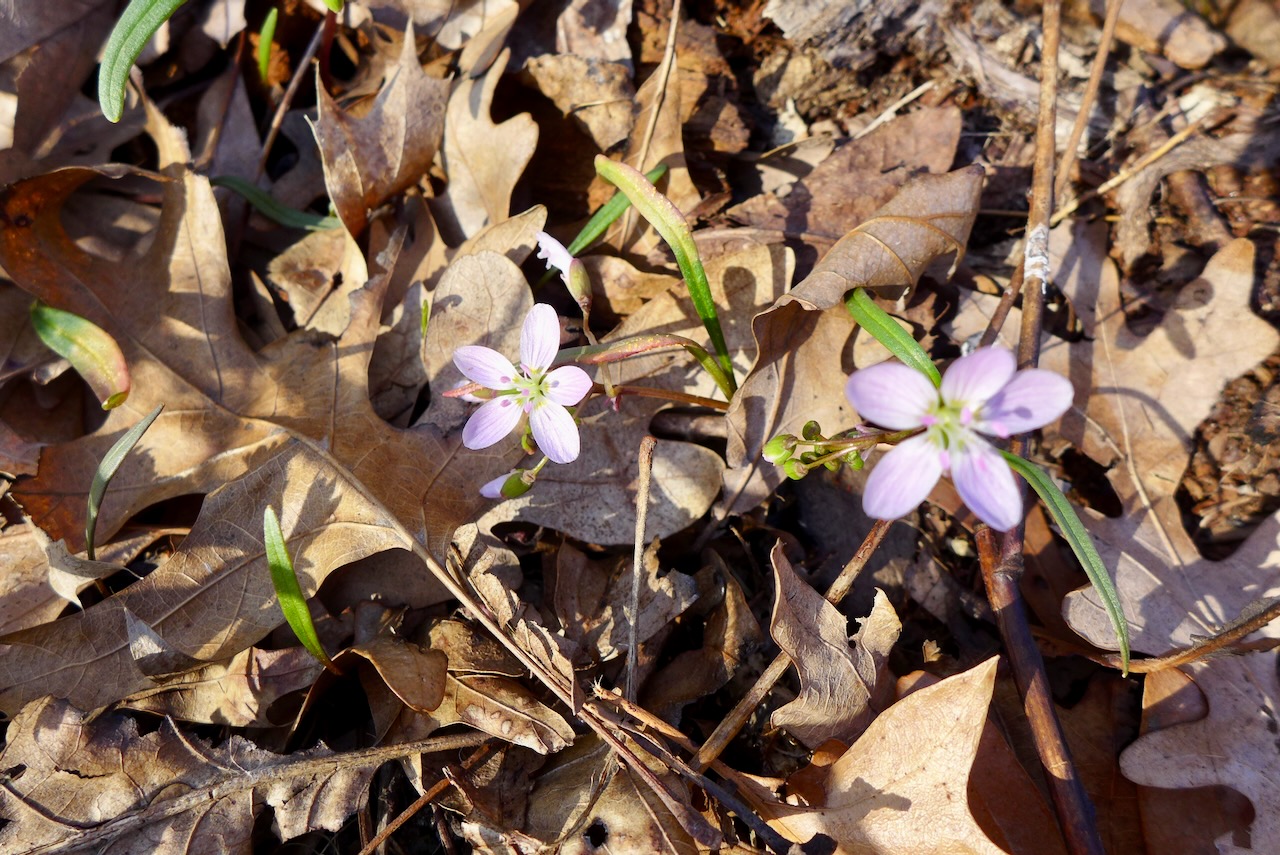
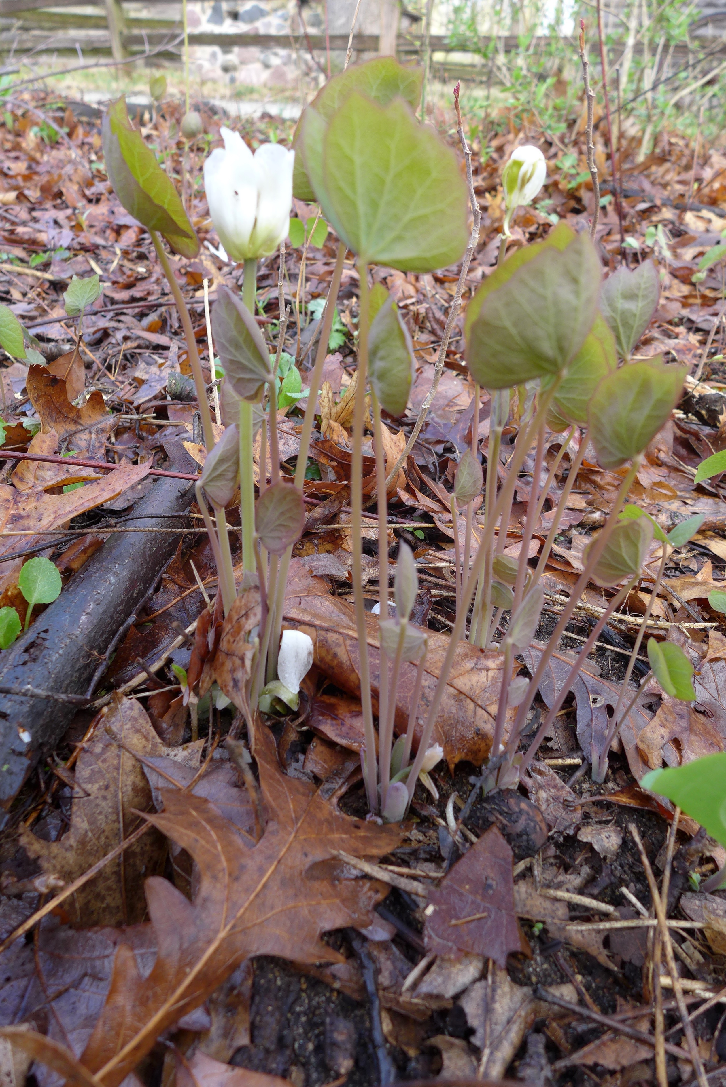
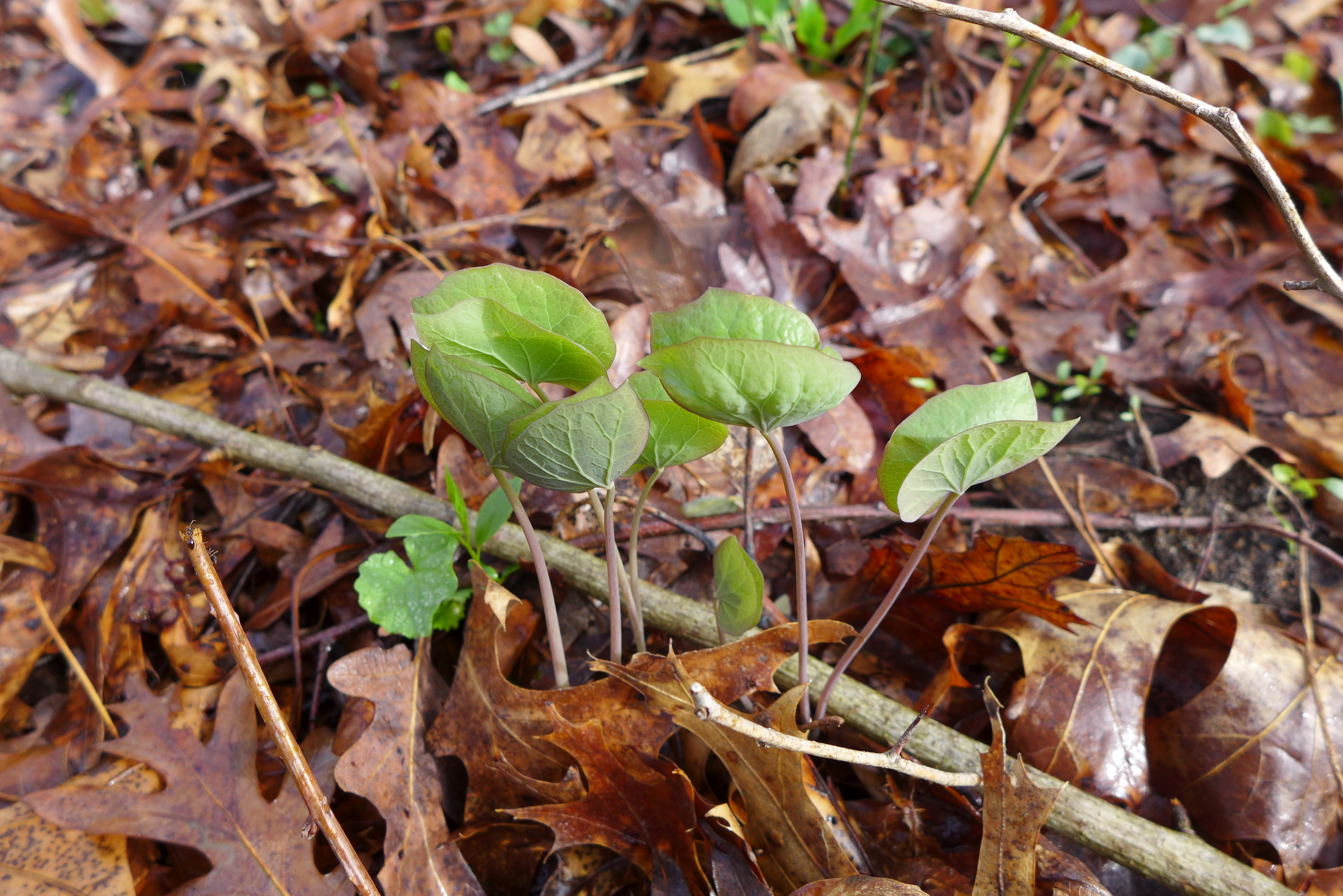
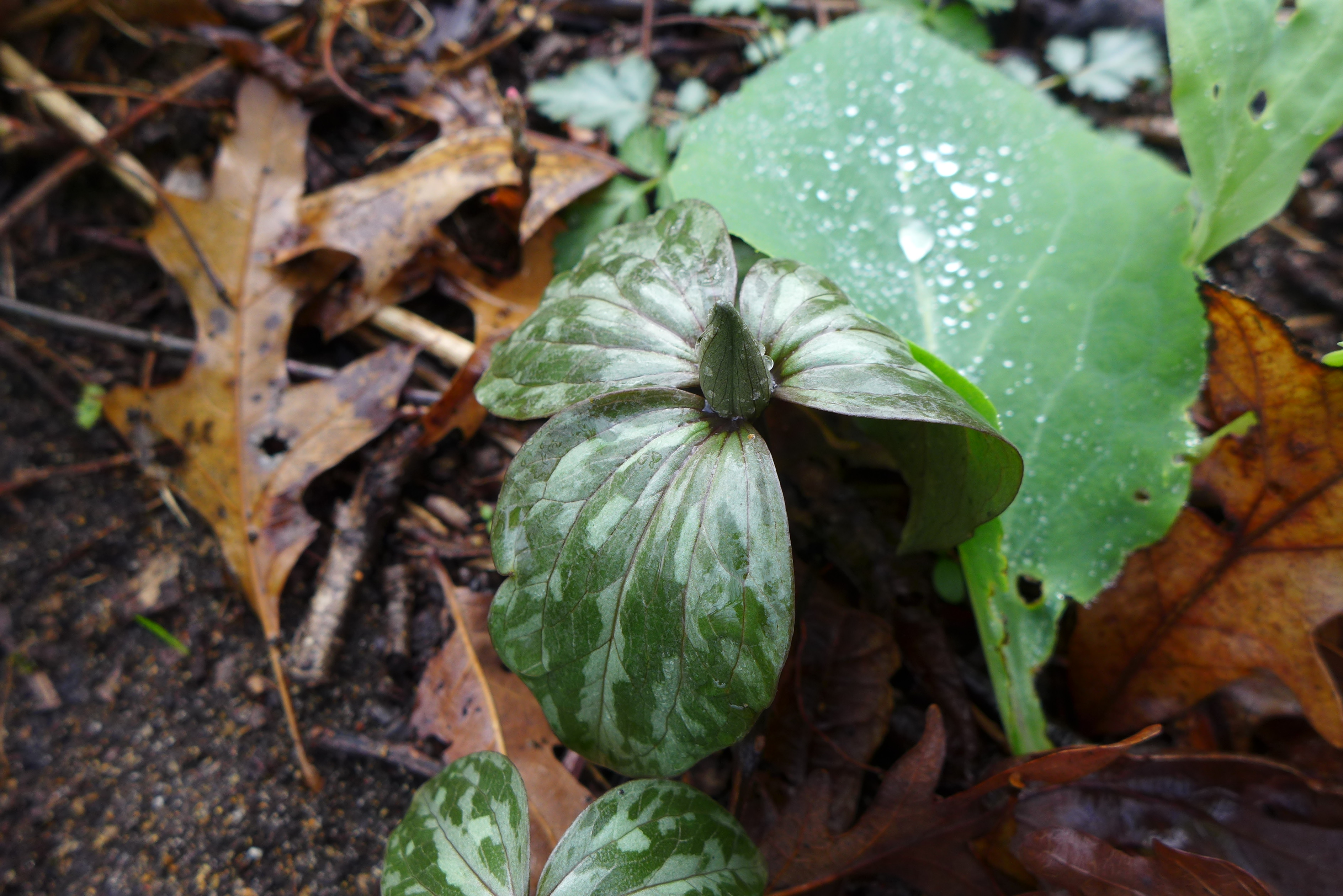
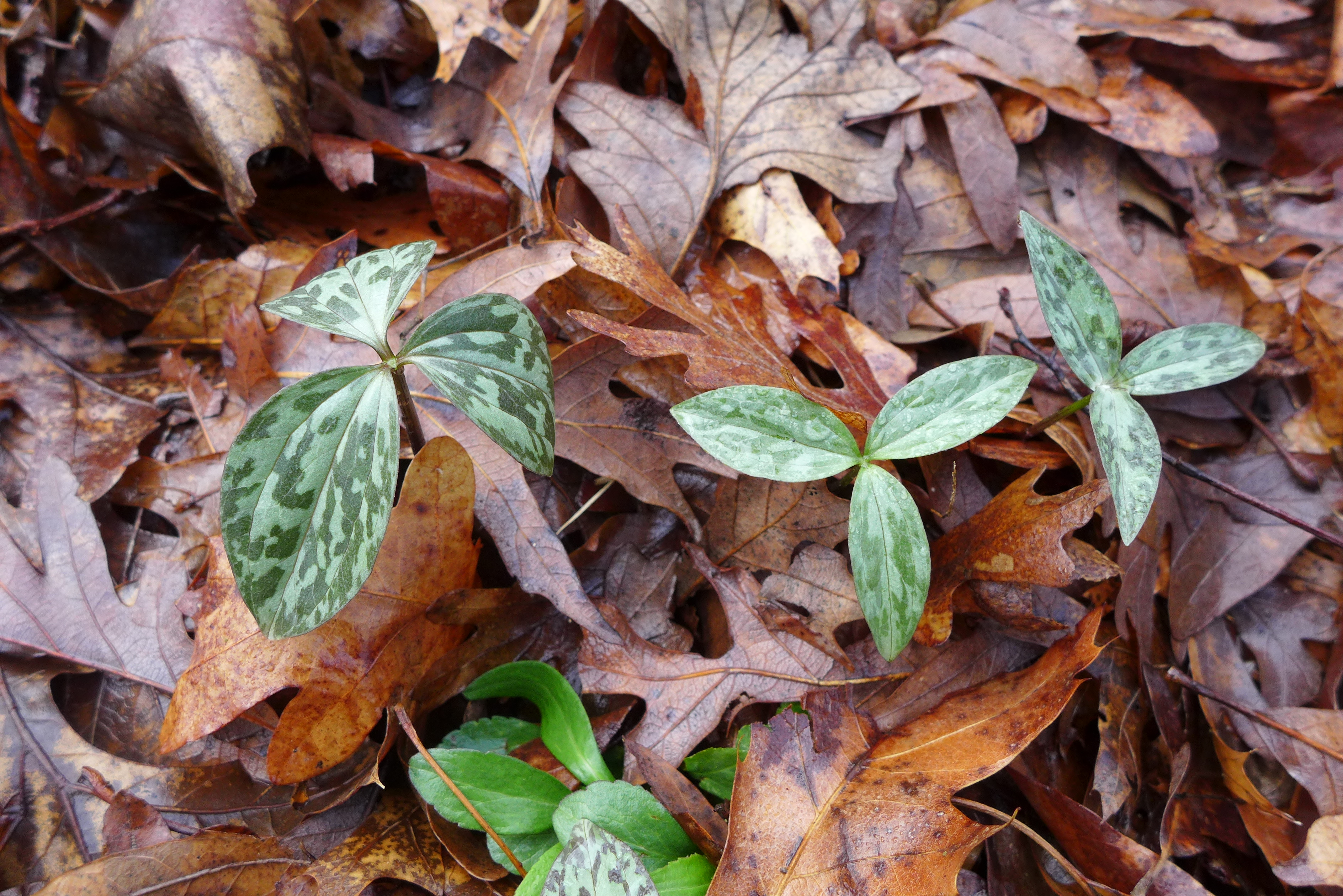
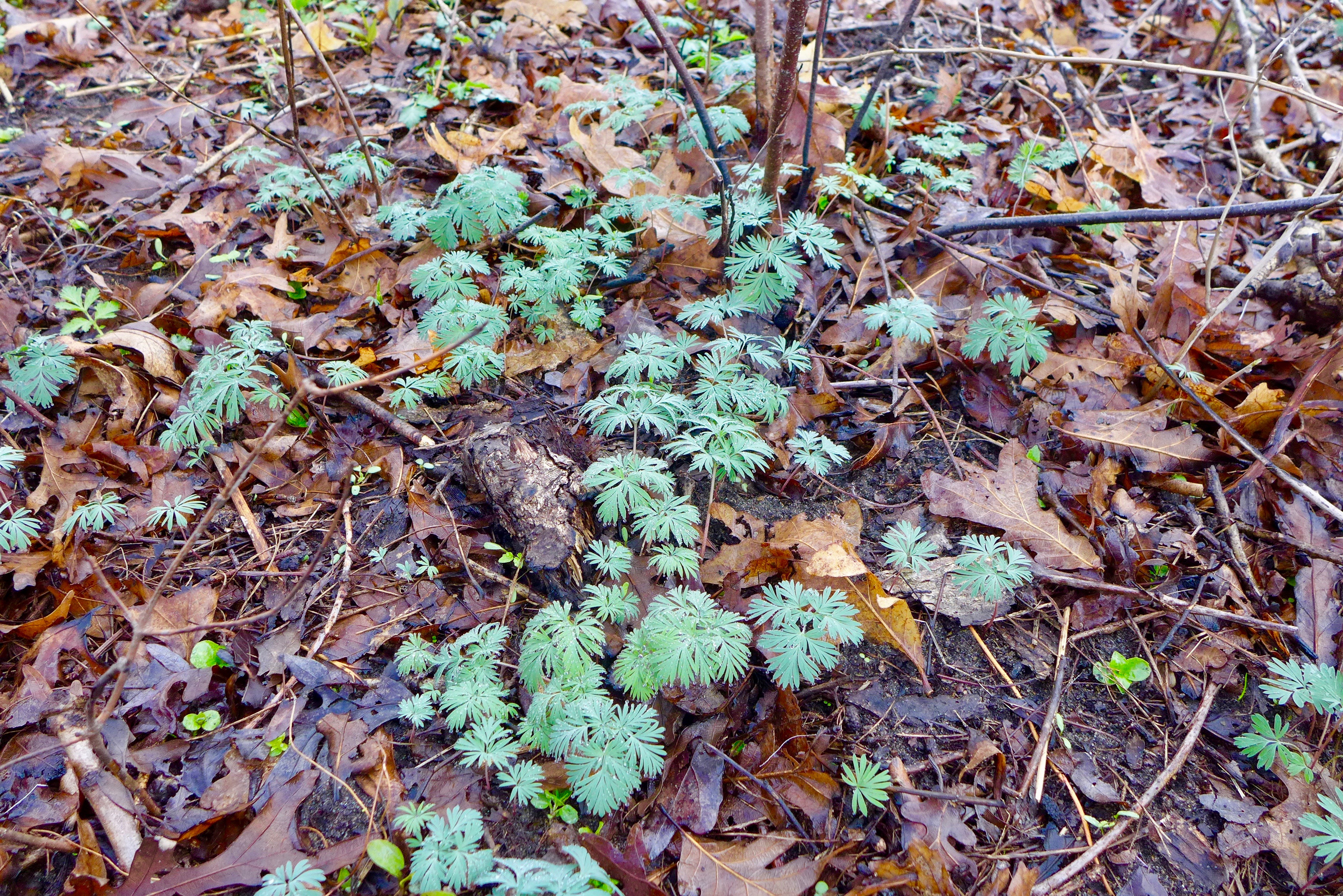
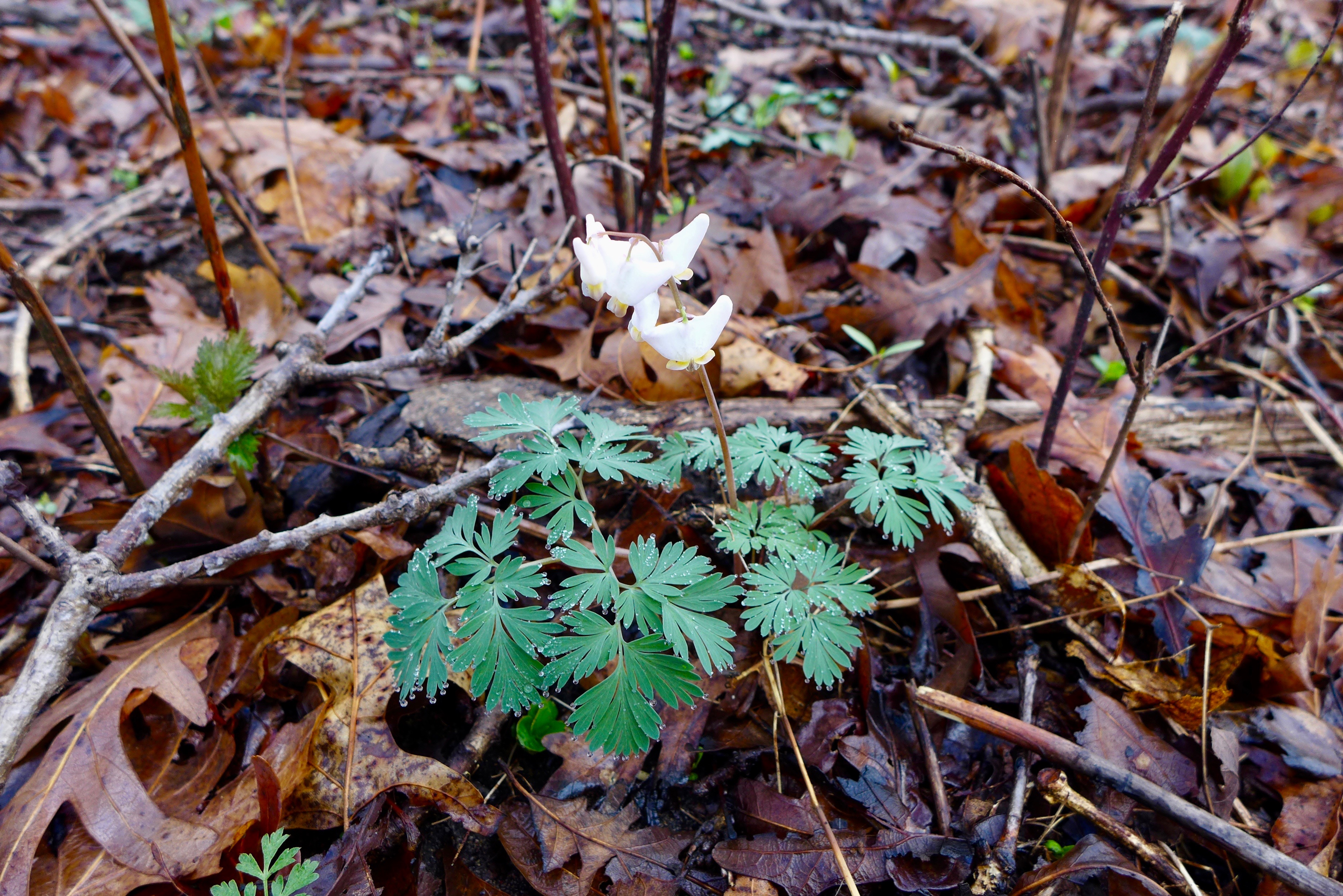
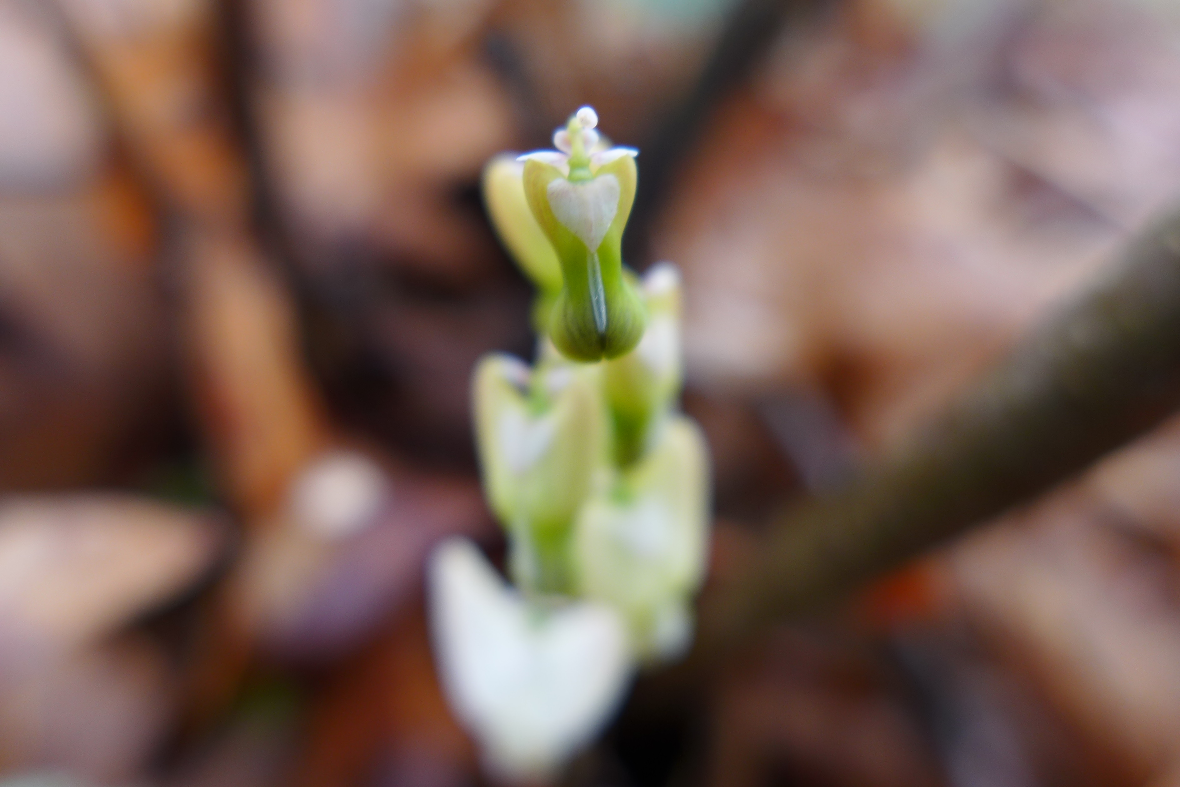
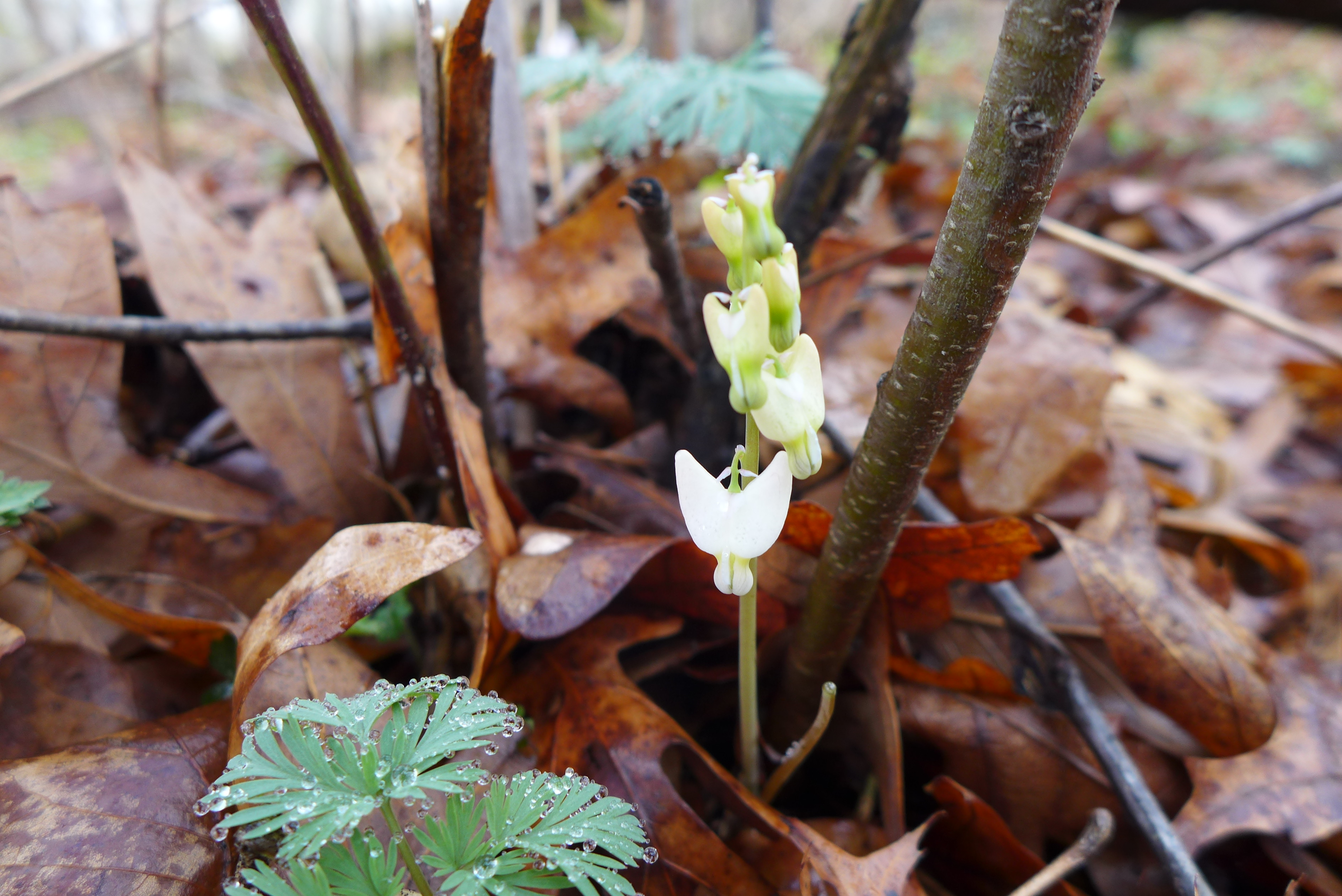
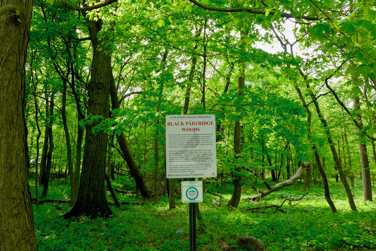
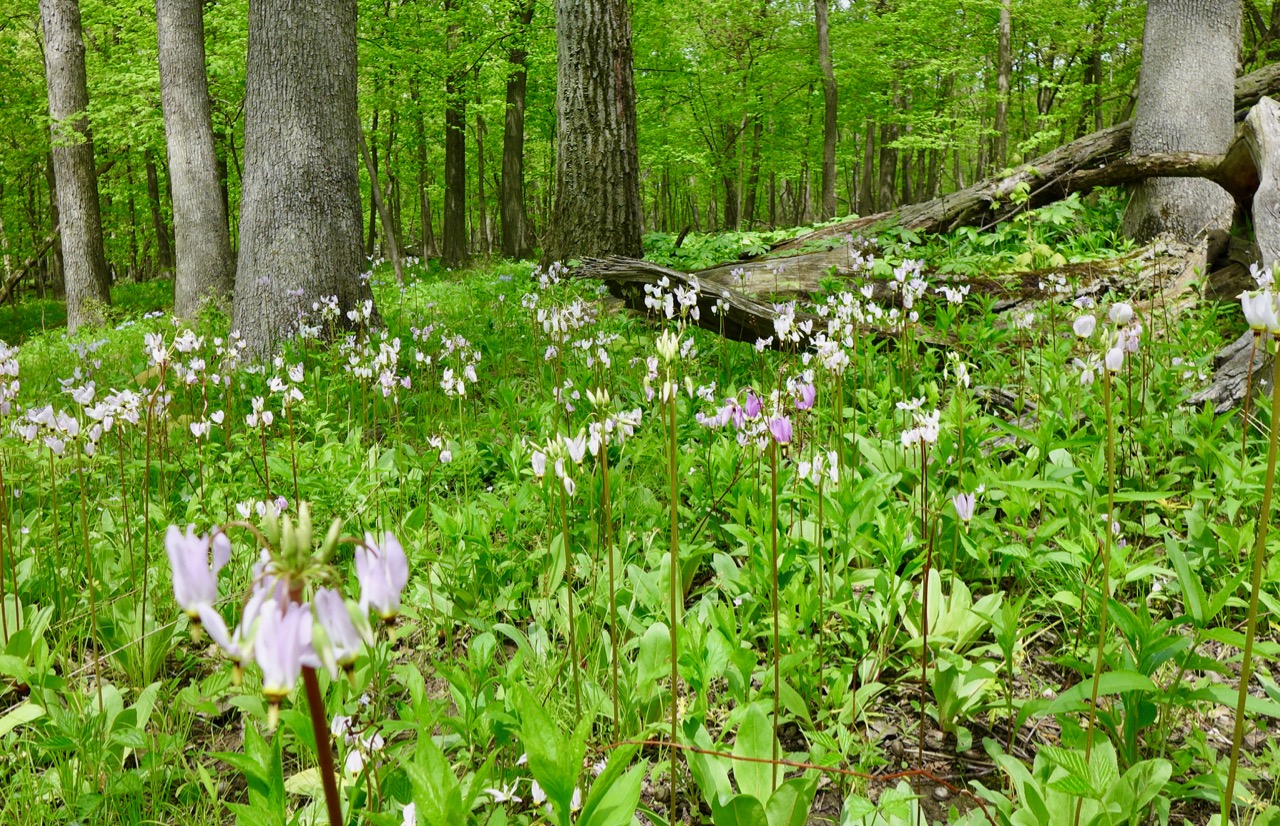
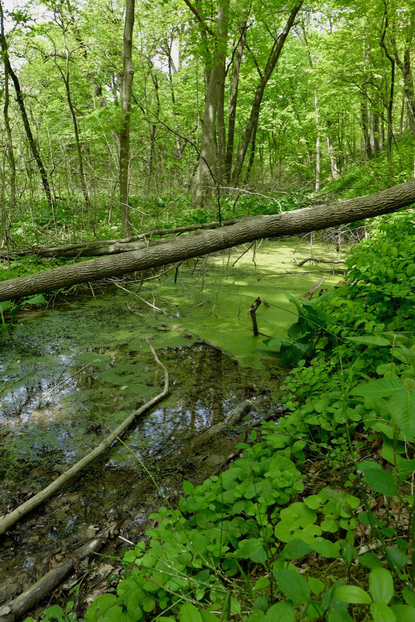
Black Partridge Woods has beautiful spring ephemerals and real nice topography –geology makes these ravines possible!
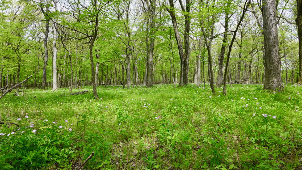
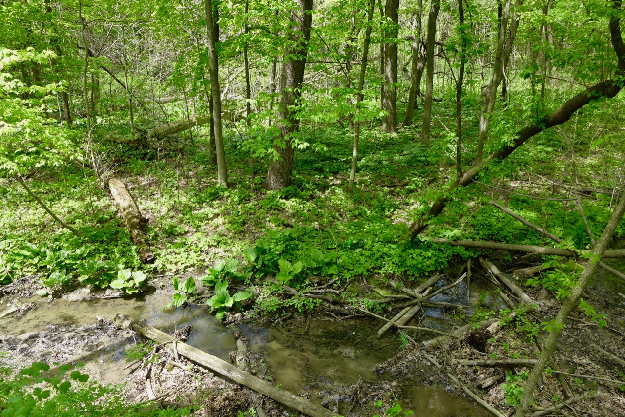


Fields of wood betony are just finishing flowering; bumble bees still want them!


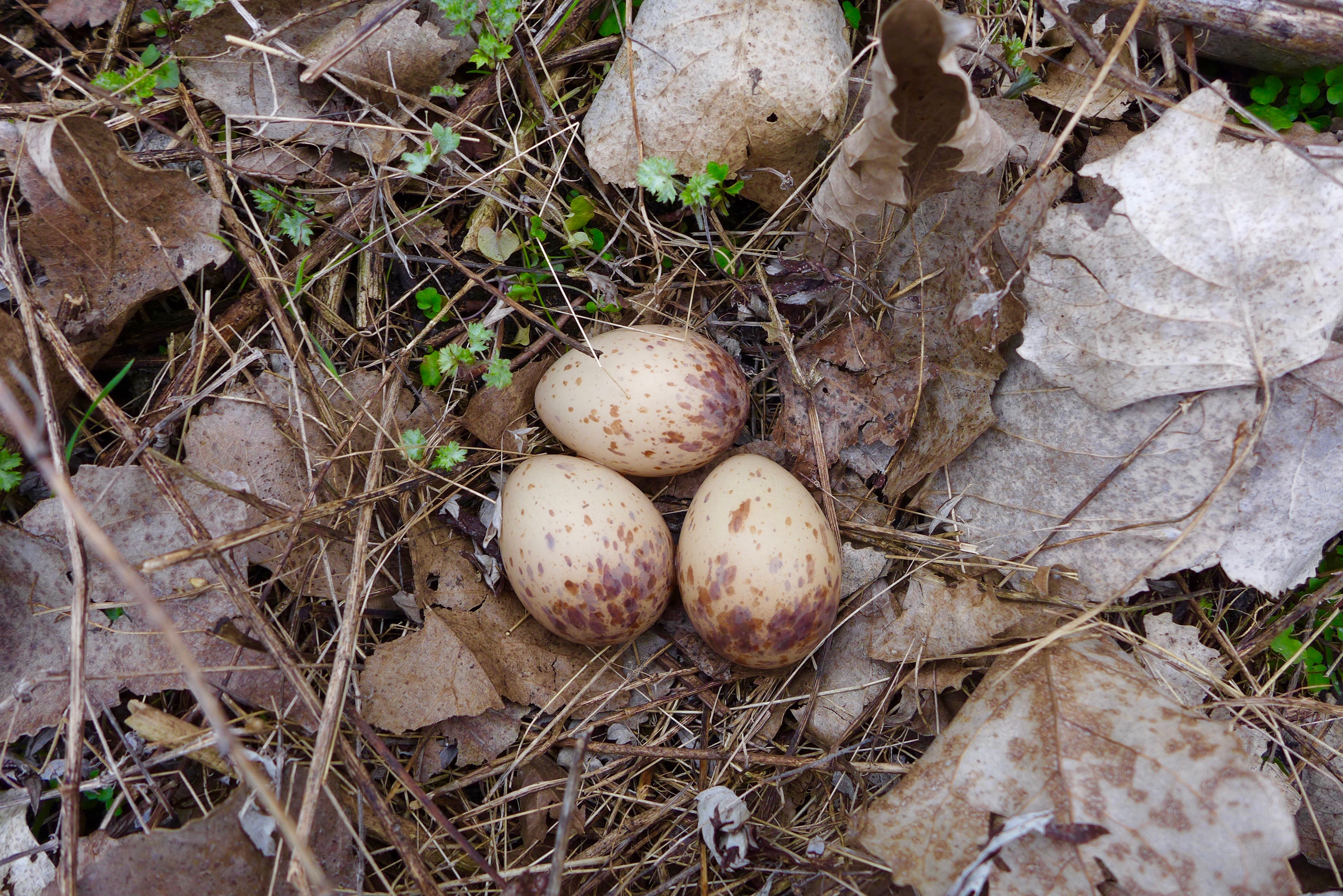
I had to start with the coolest thing we saw on our foray: woodcock eggs! We flushed their parents out of the brush from like 100 yards away. Questionable parenting.
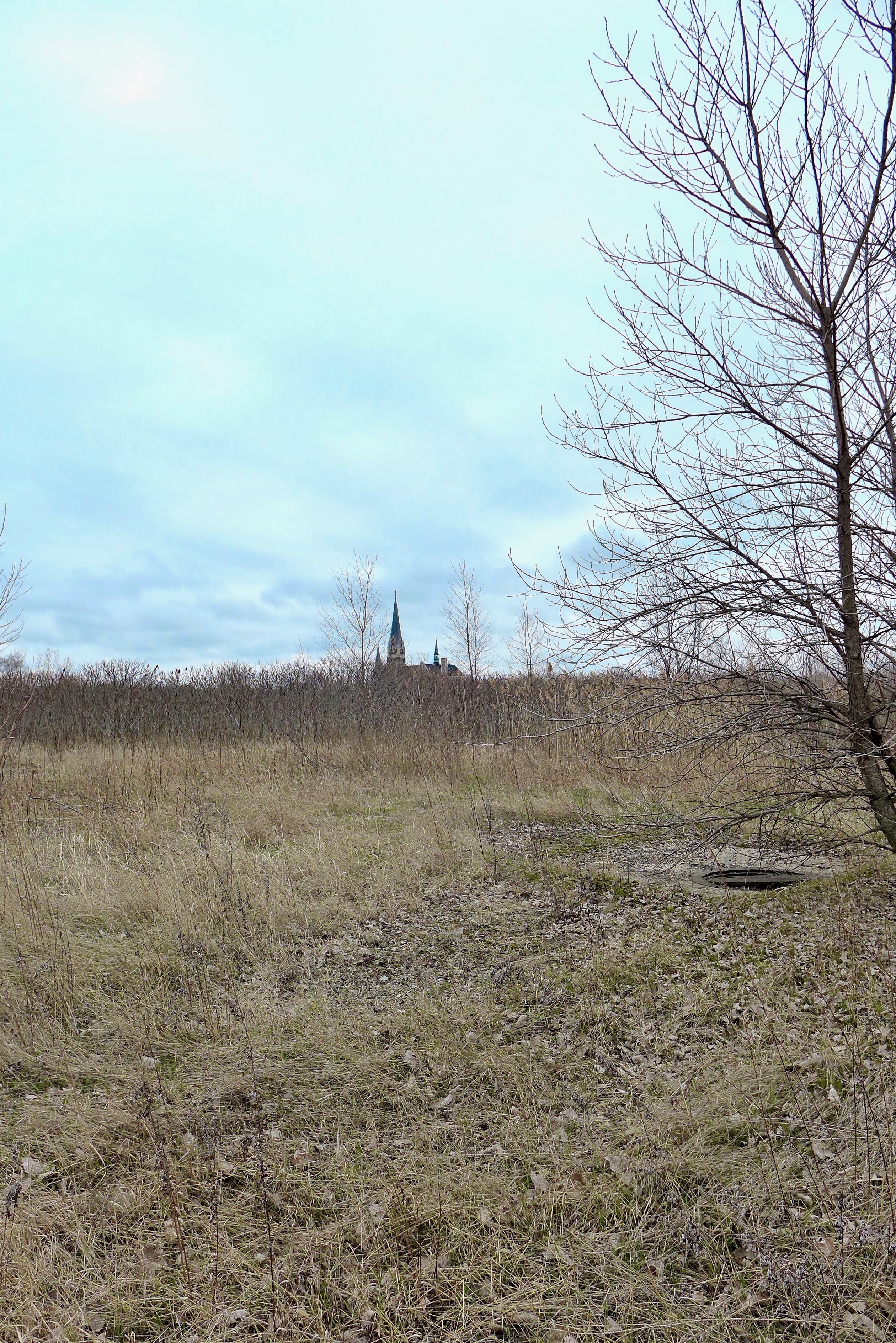
St. Michael’s Church.
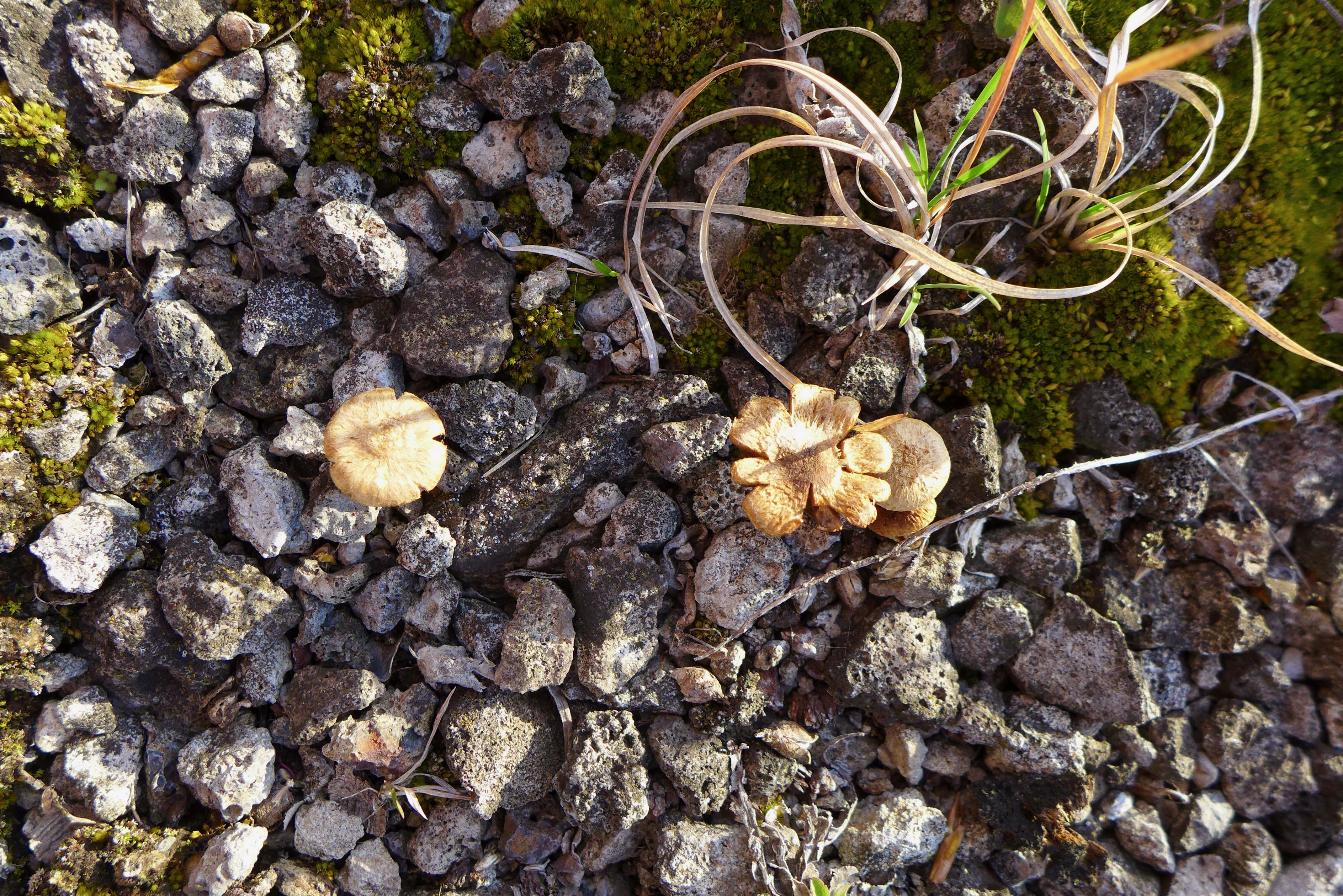
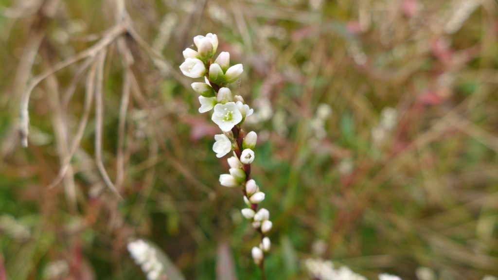
Some tiny buddies.


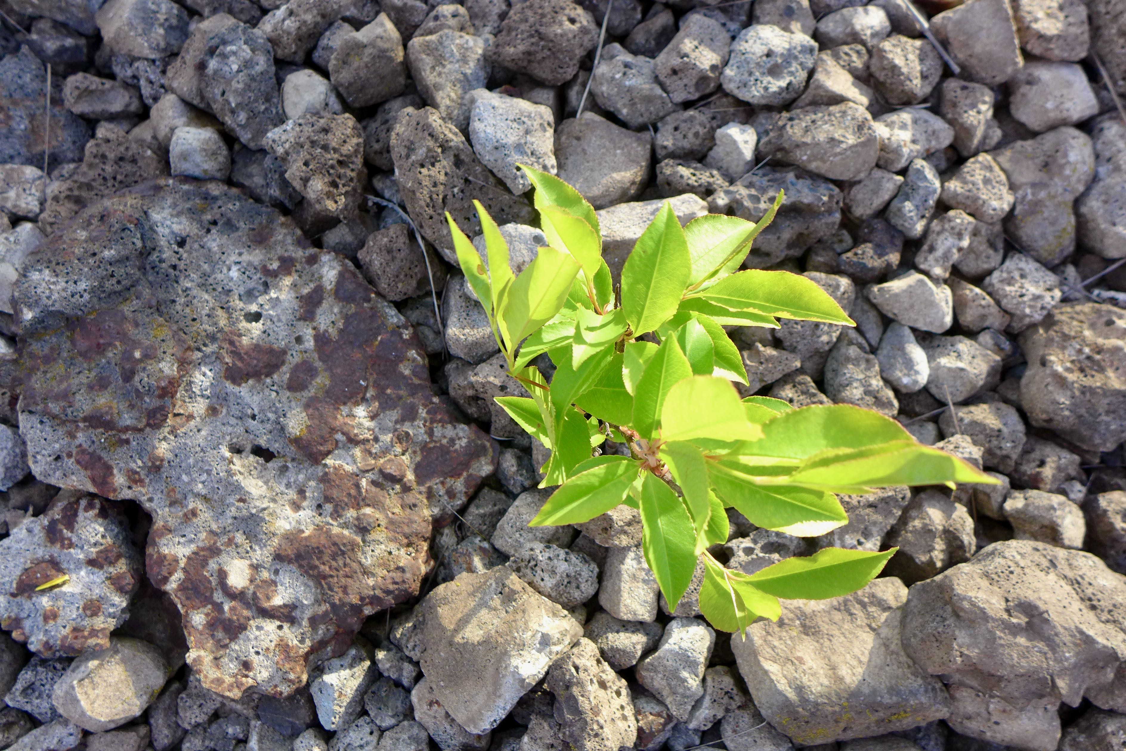
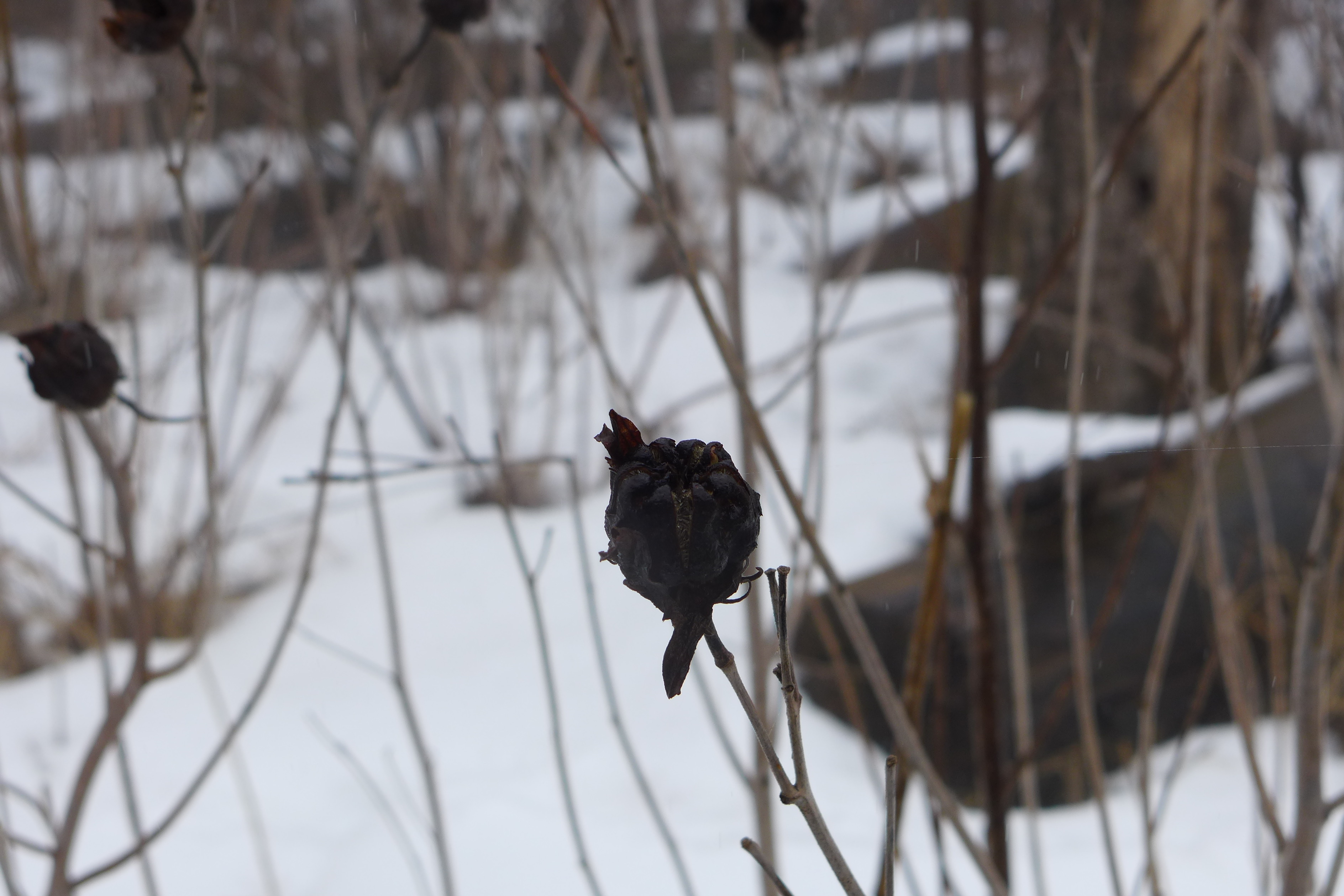
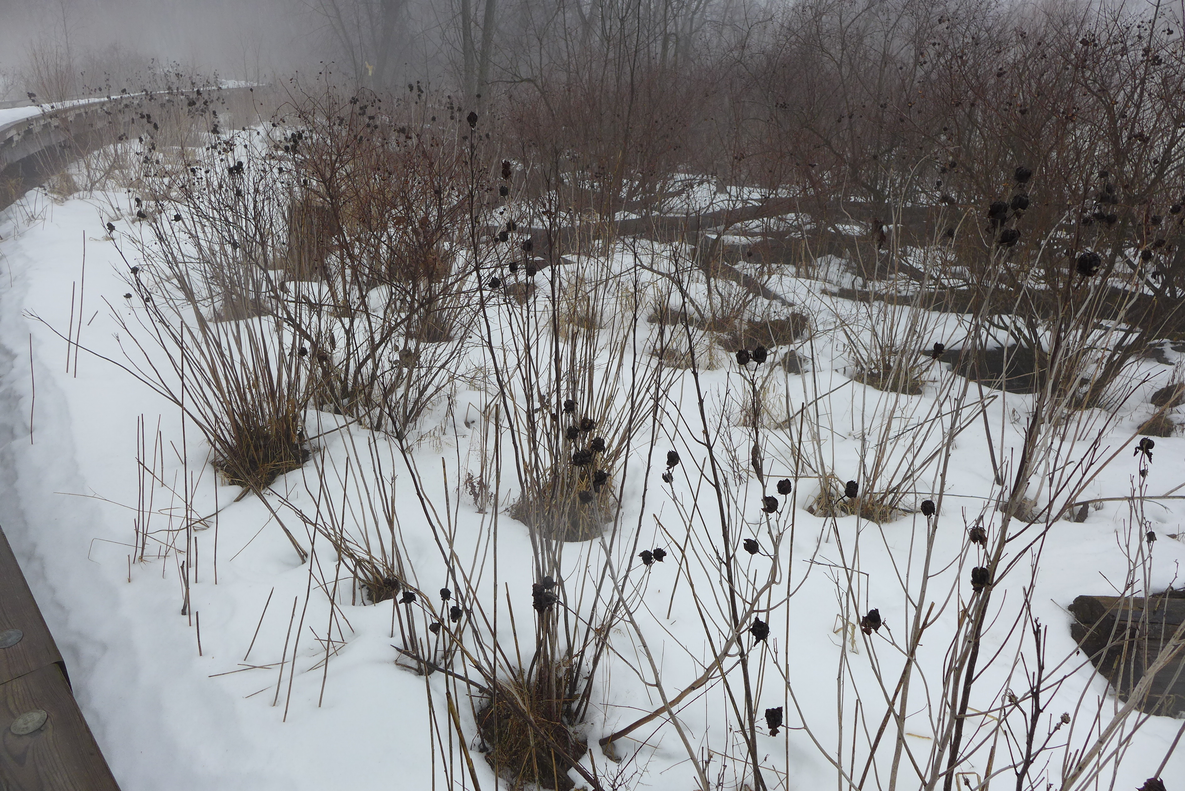
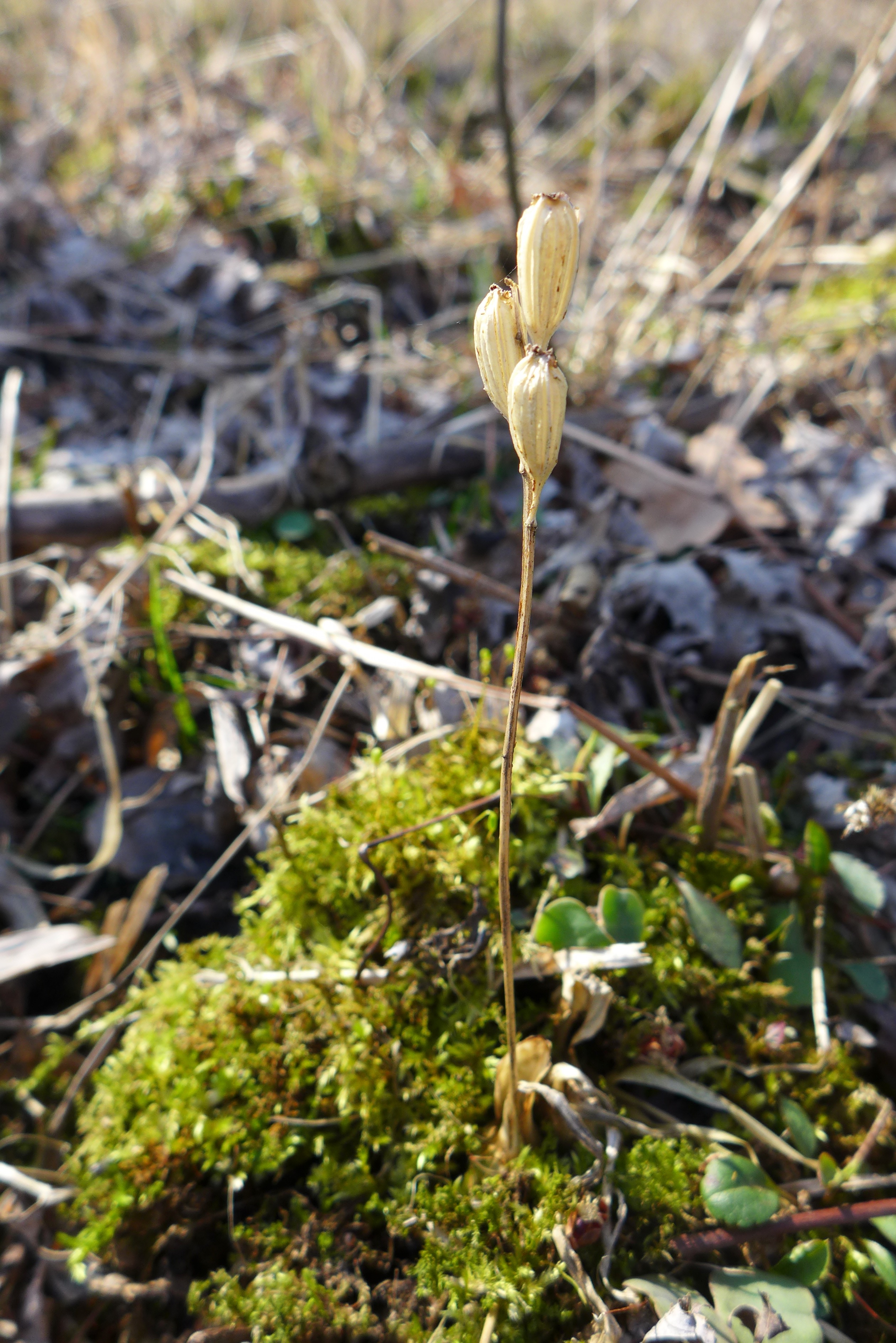
Moss is a critical early successional component of the ecosystem, accumulating organic matter than other species can eventually grow in.


A deer path through the sumac forest. Always follow the deer path.


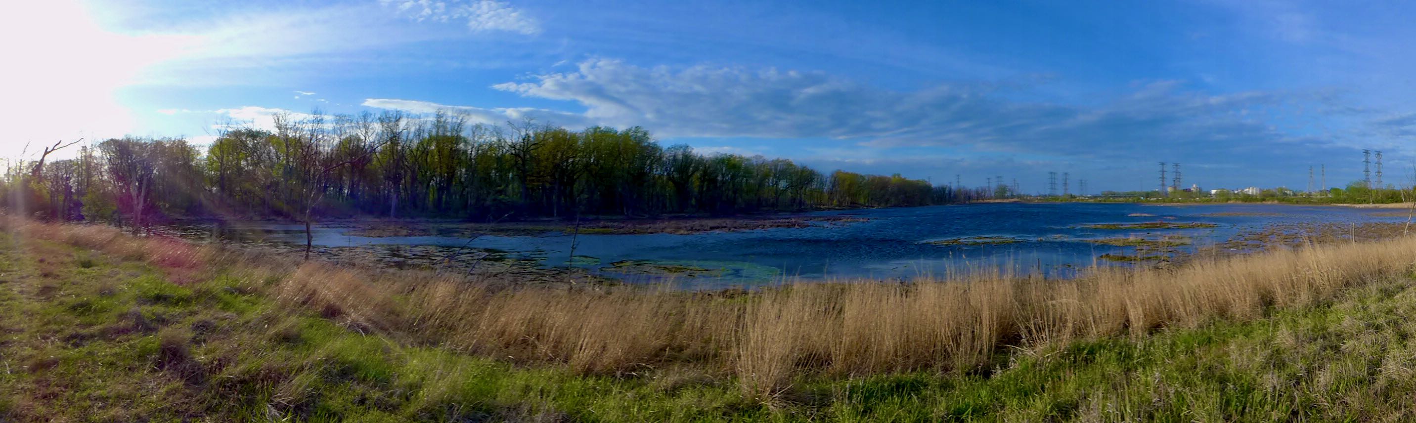
Gothic Calumet.