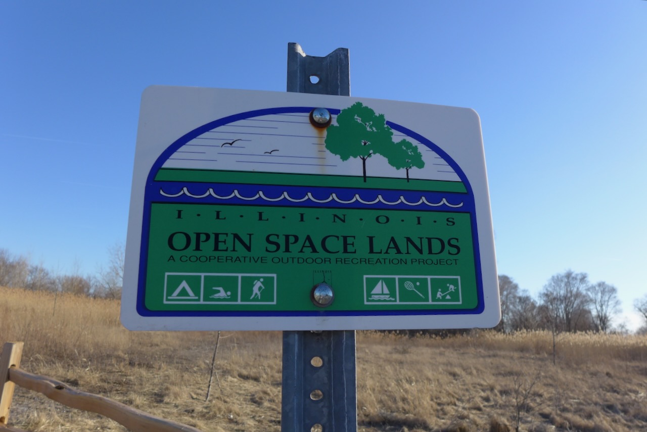
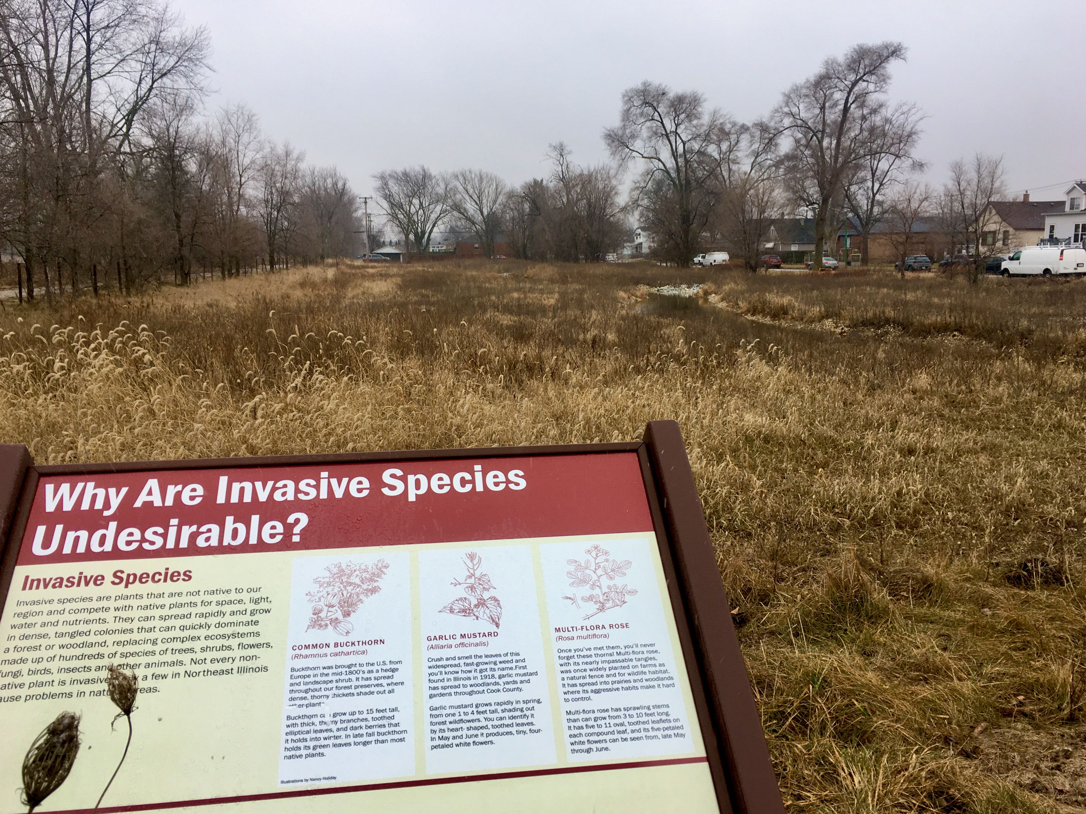
A boat launch at Wolf Lake and a hydrological connection to Powderhorn Lake are new initiatives by the Forest Preserves and State Park. The connection between these bodies of water is an important one in reconstituting the wetland complex that has characterized the Calumet Crescent in the last 10,000 years.
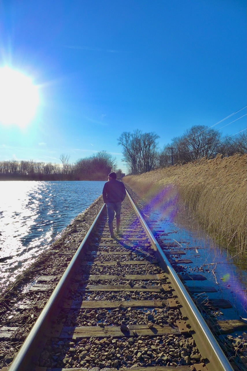
Looking south towards Powderhorn, this new naturalized channel was constructed in an empty, perennially flooded lot. This green infrastructure is beneficial to the surrounding human community (decreasing local flooding) and connecting the animal communities.

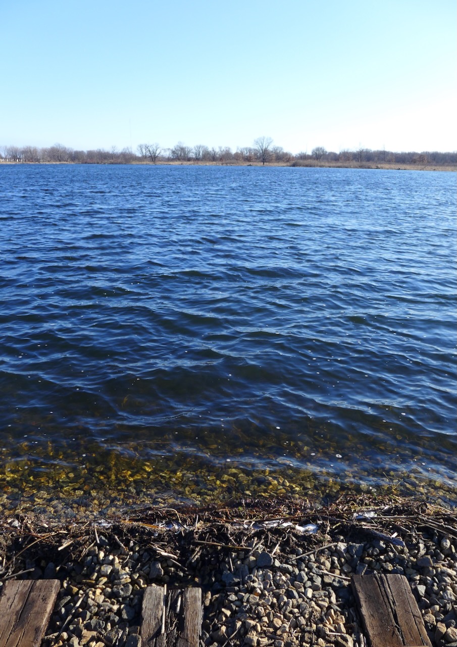
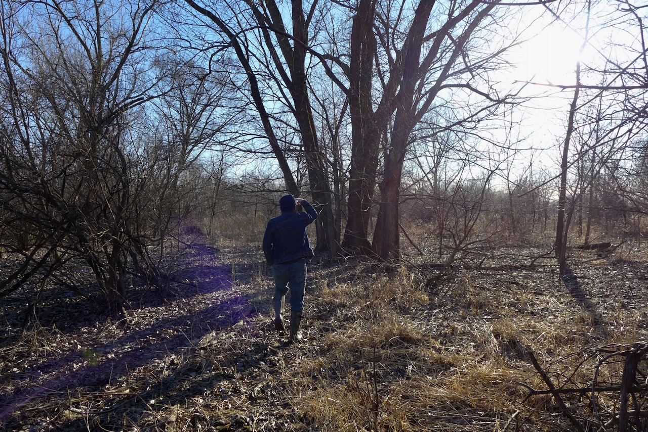
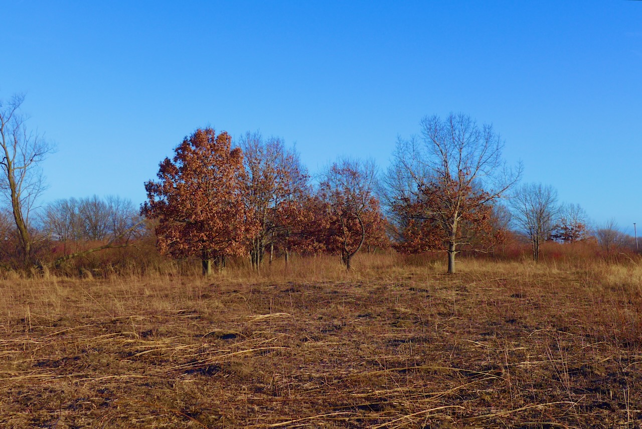
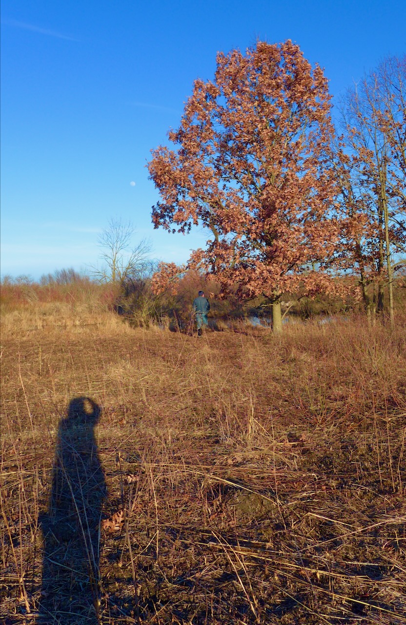
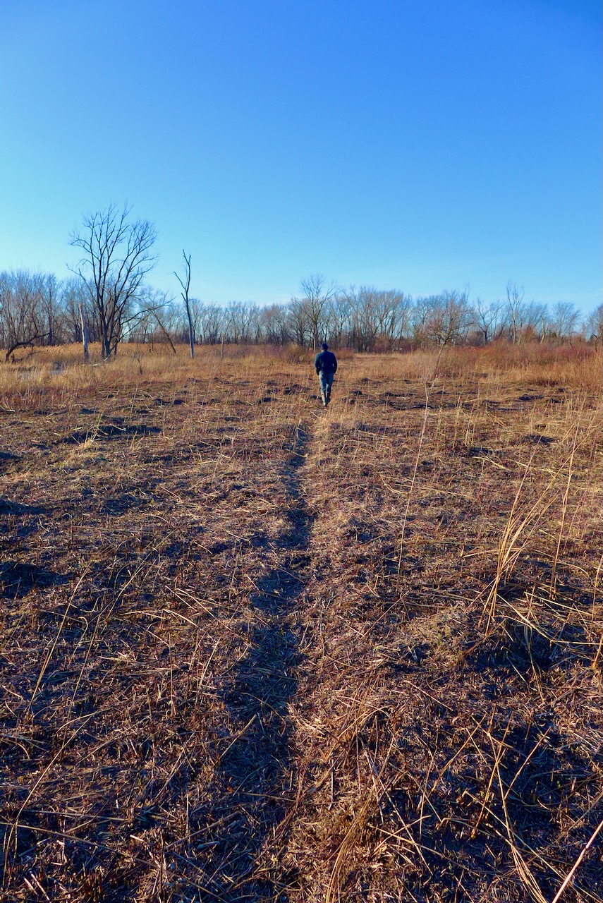
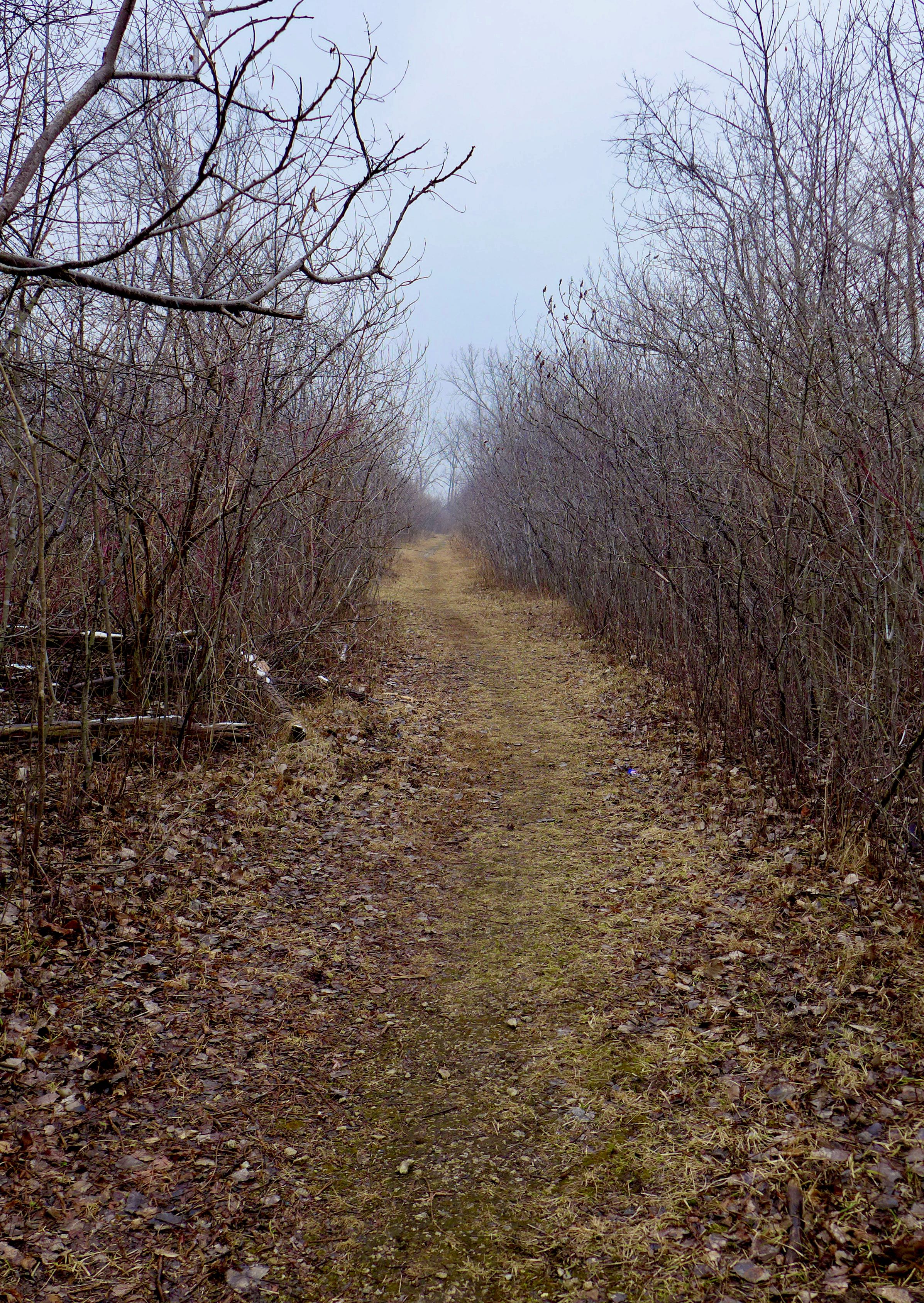
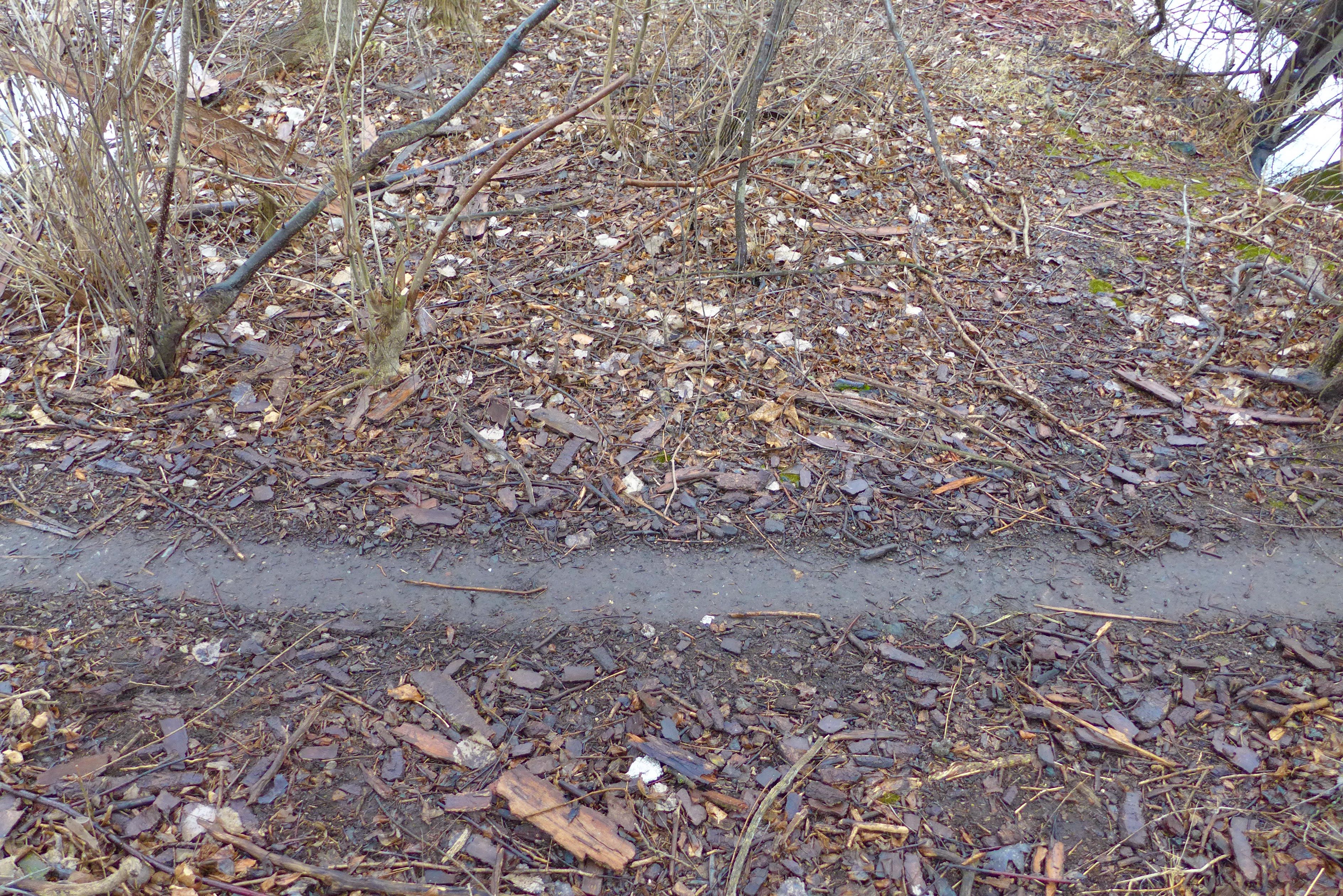
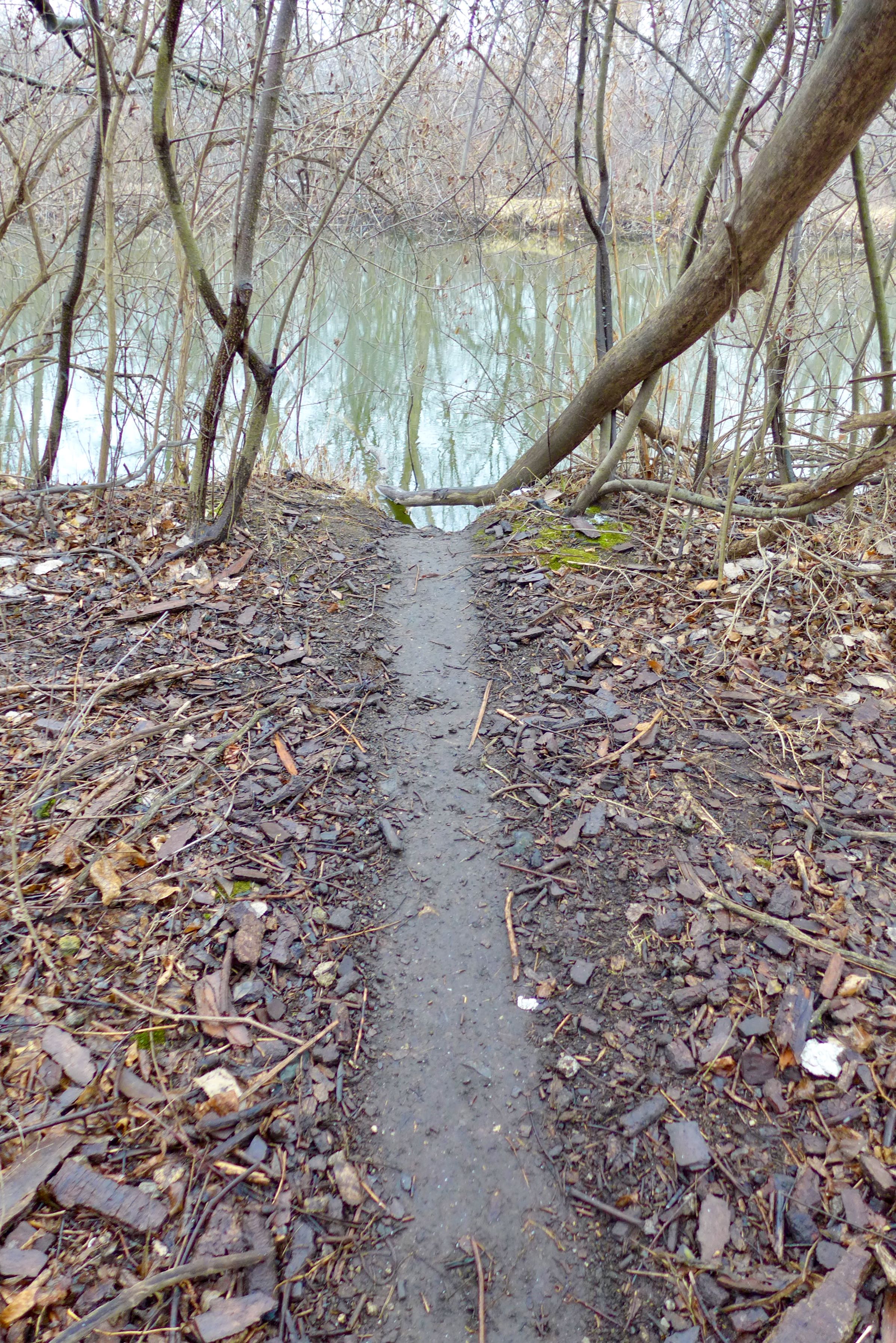
Walking north, a buckthorn protected path affords coverage for waterfowl hunters (remember there is a gun club close by and hunting is legal in William Powers State Park) or coyotes, flanked by the transition zones between land and lake.


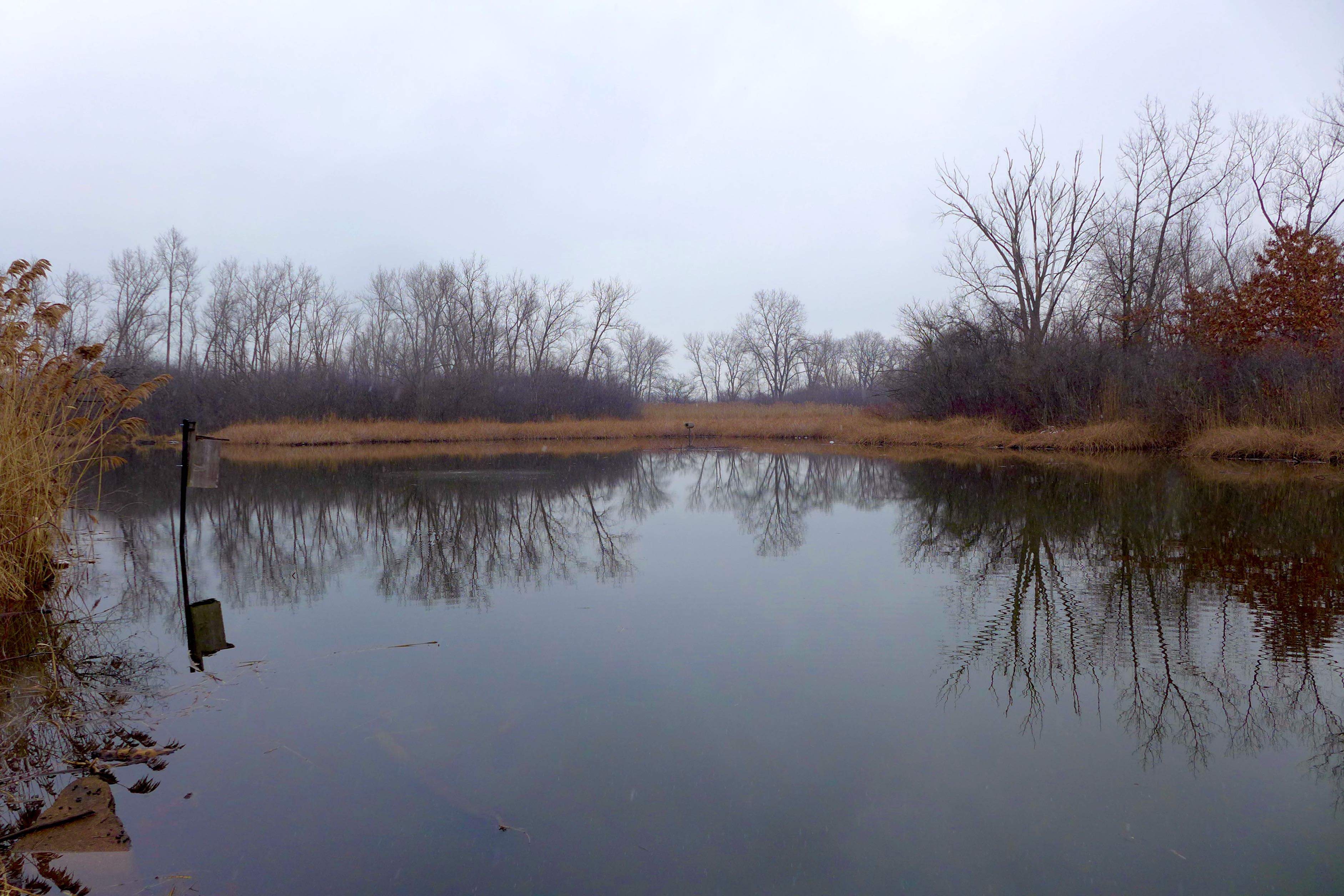
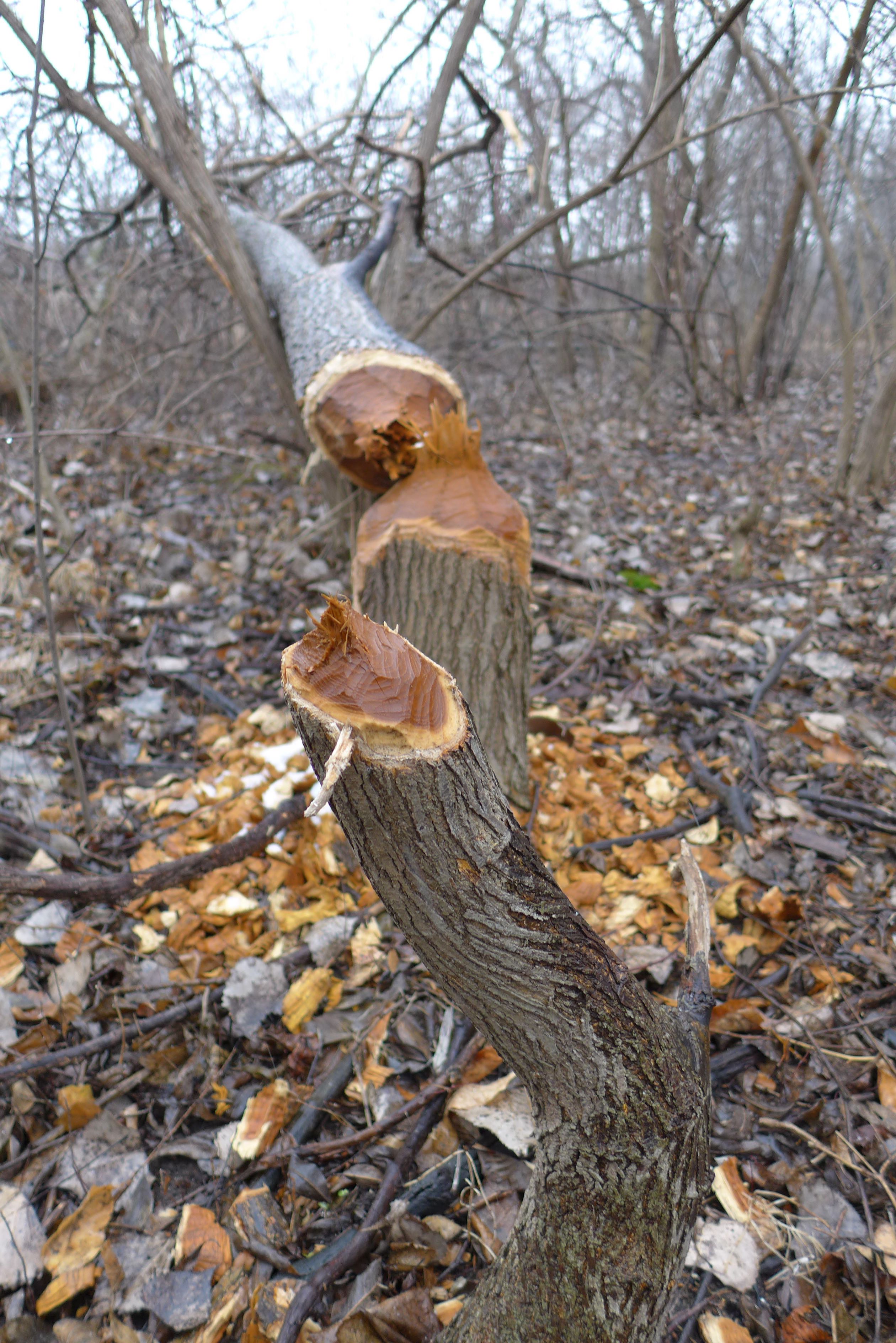
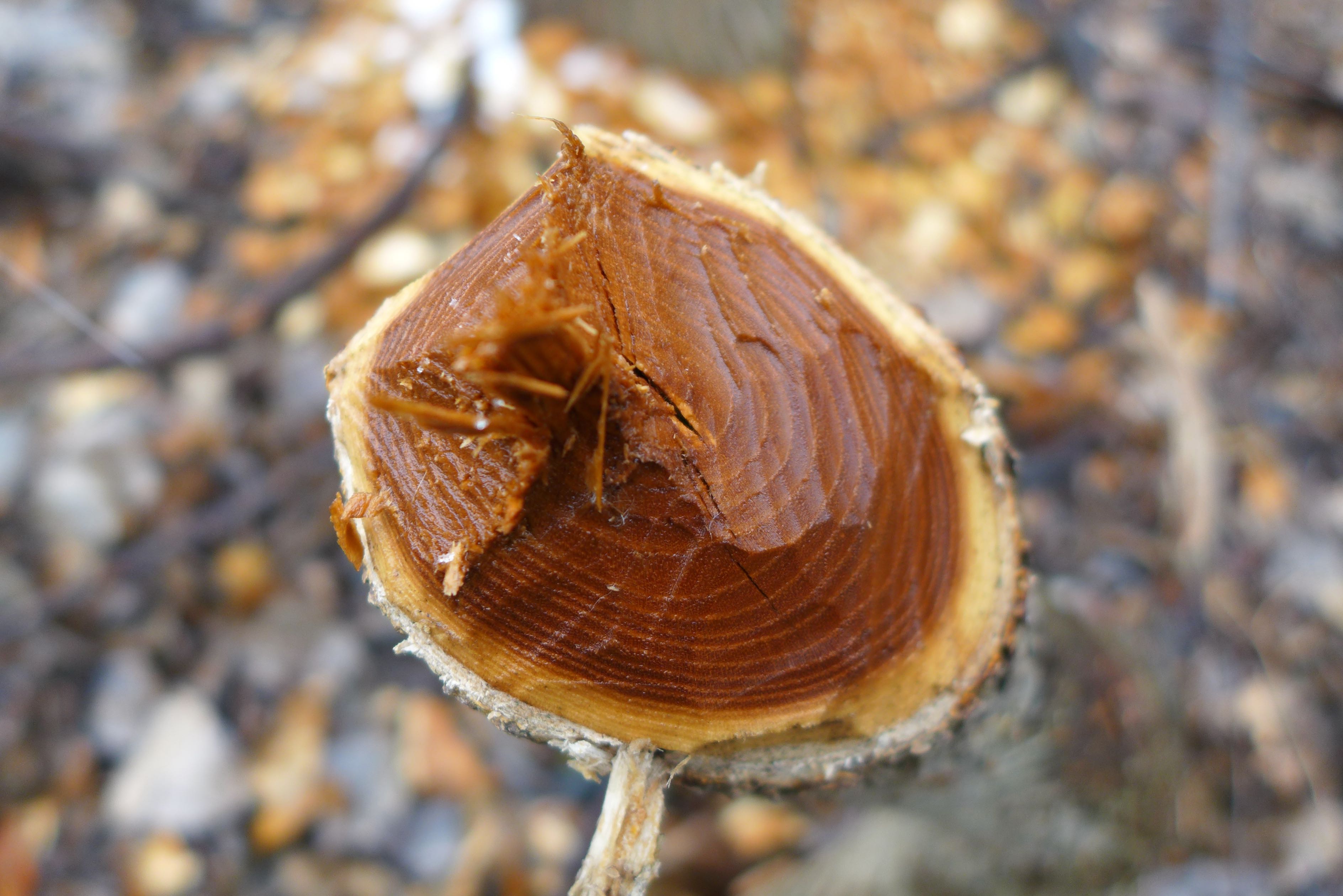
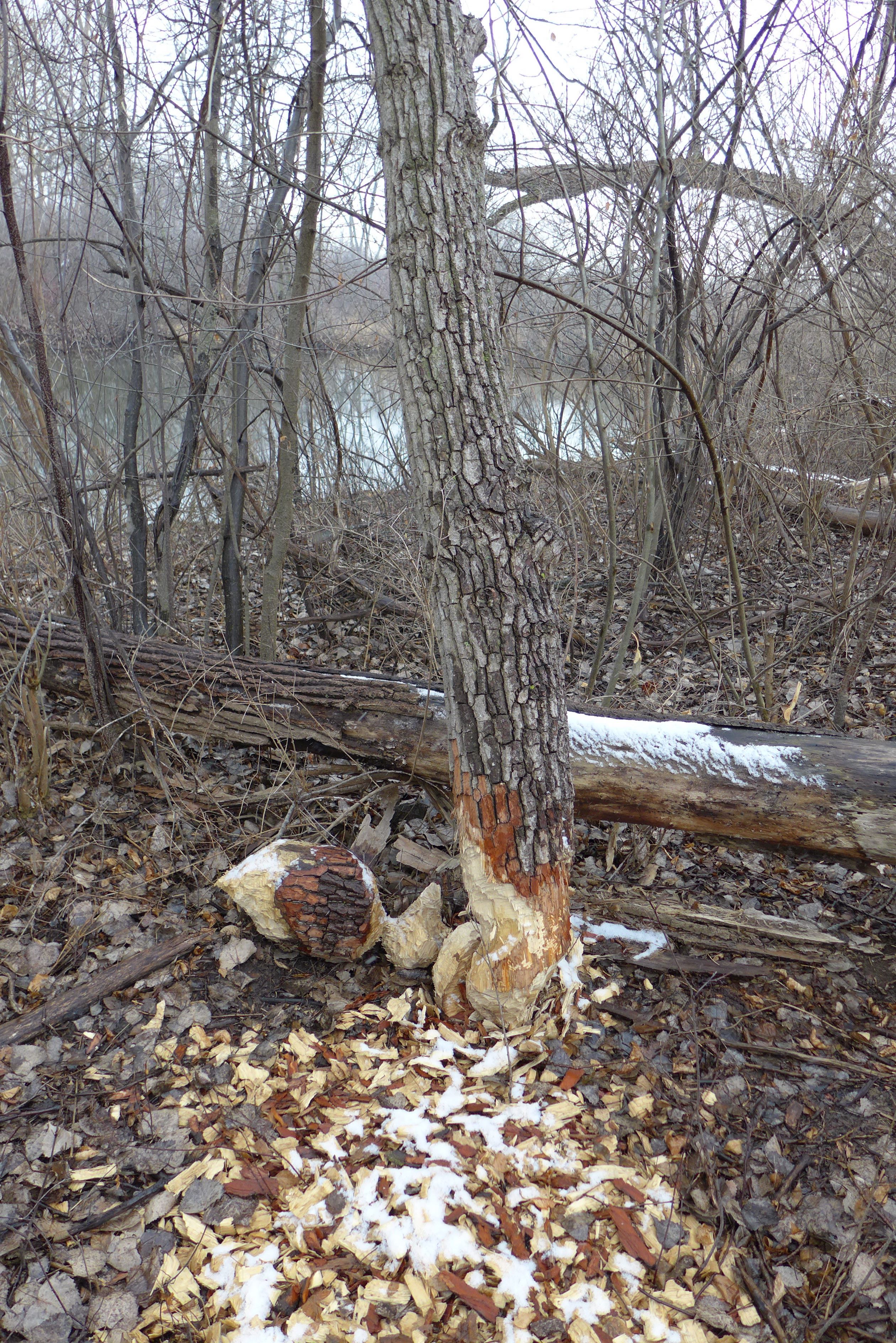
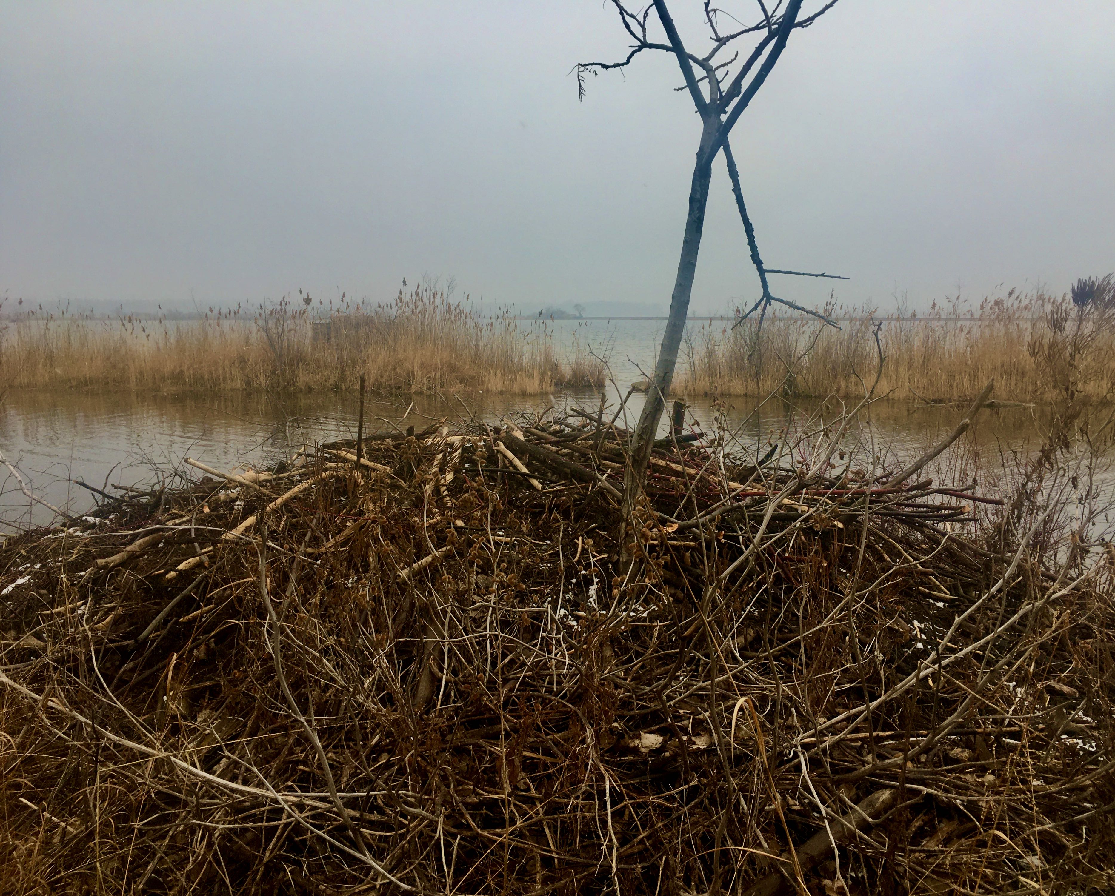
The real action though comes from the beavers. We’ve seen beaver dams around Powderhorn Lake in the past – I wonder if these beaver clans were already connected overland, or if the coming months will be first contact between the populations! I hope someone is using this behavioral, range, and host tree preference data to learn lots about these local ecosystem builders!


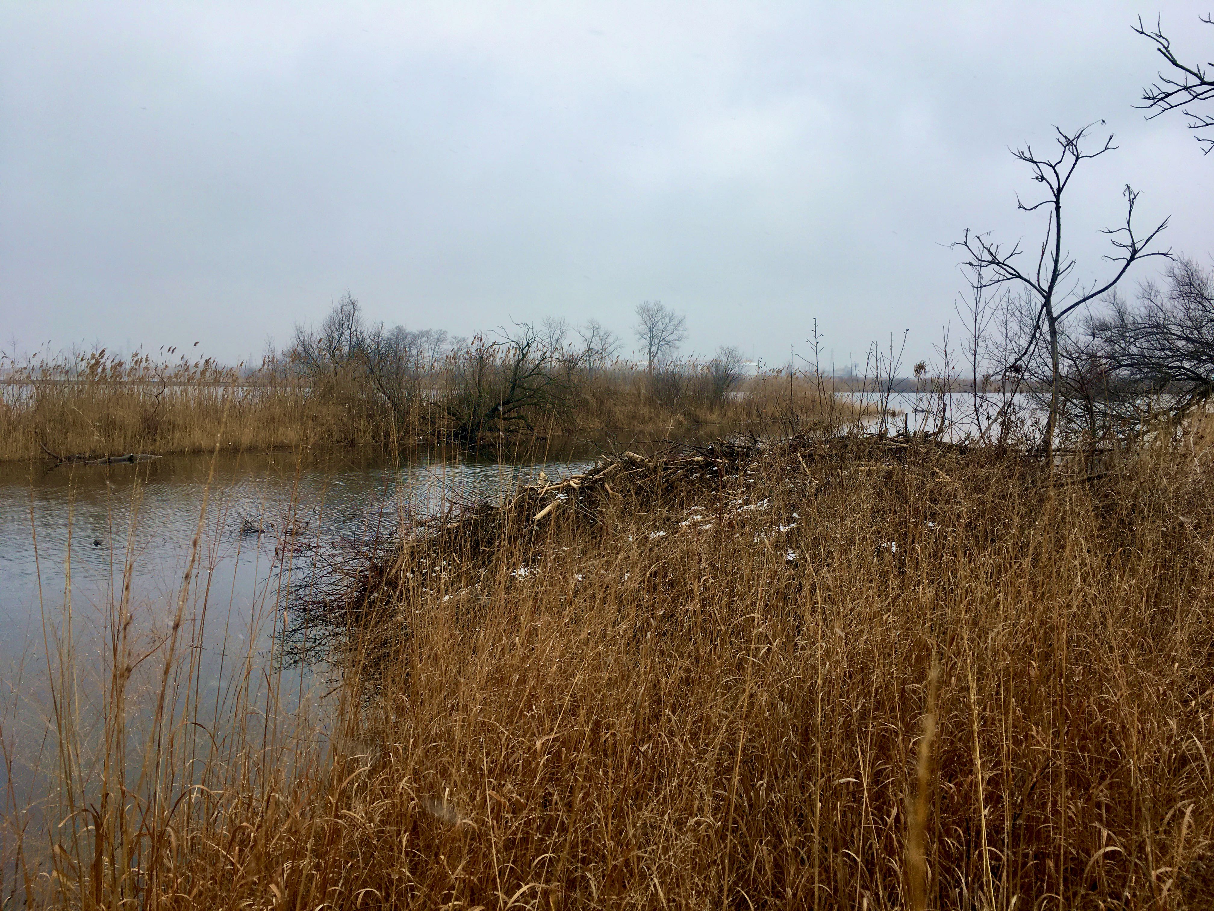
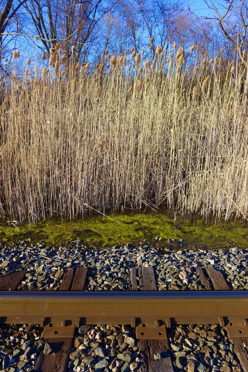
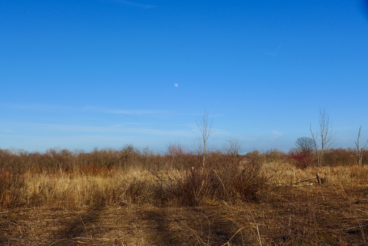
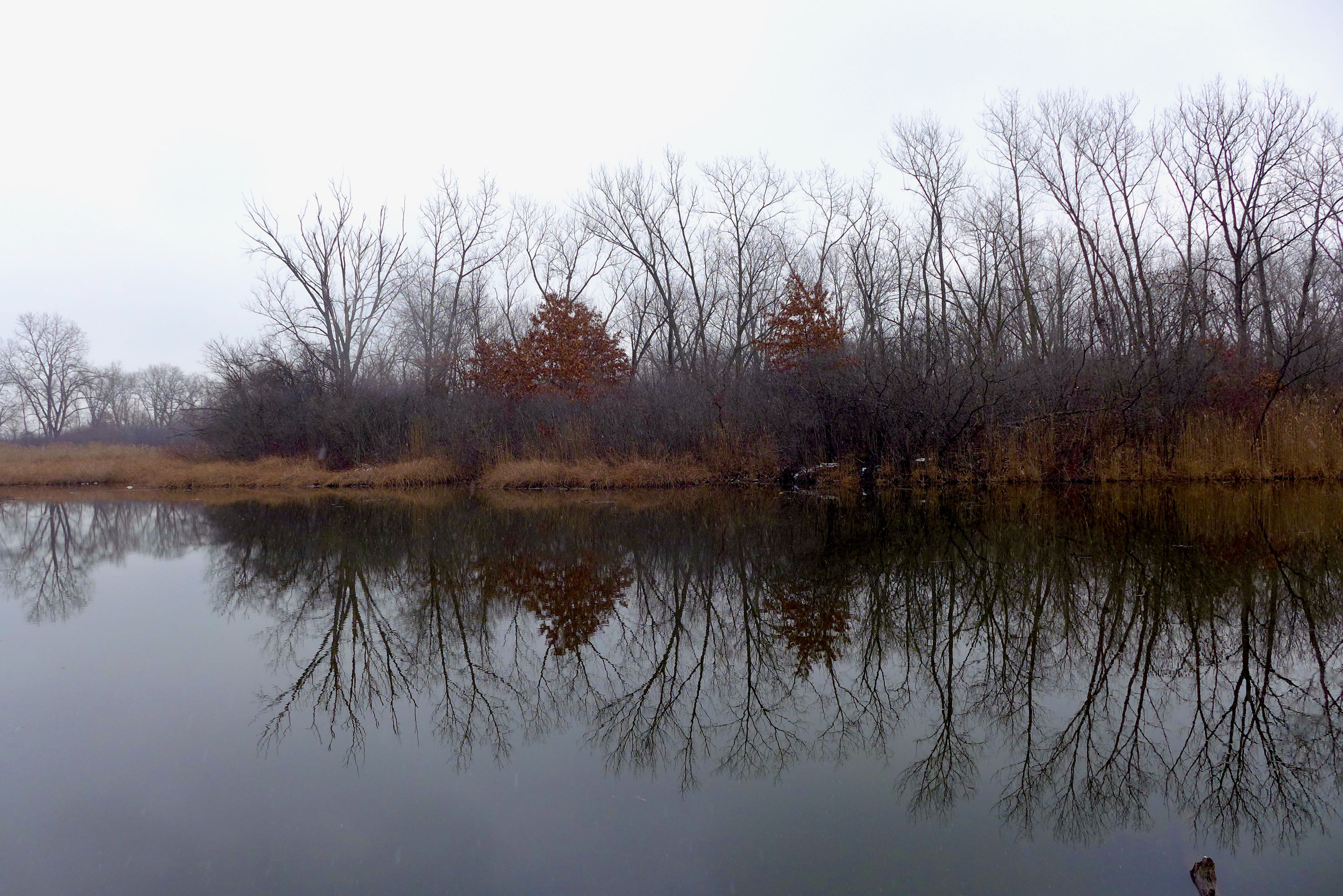
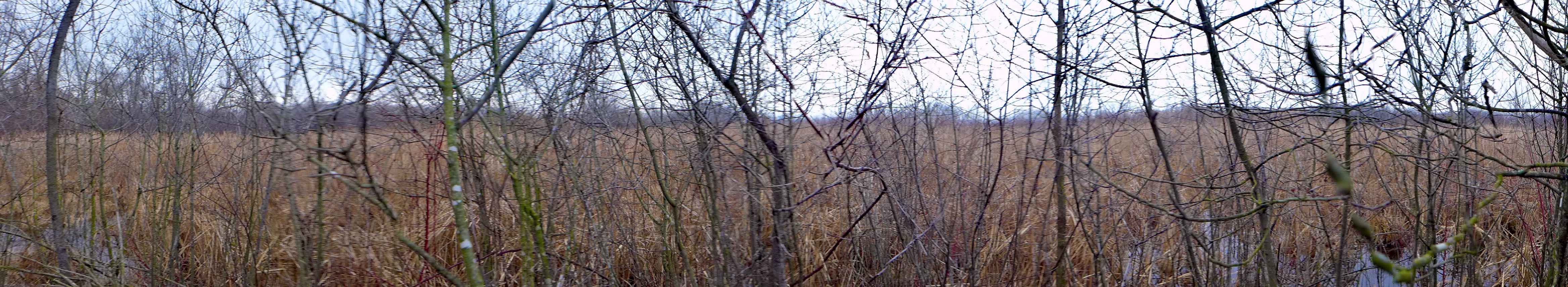
With no one else around, there was a liminal feeling to the masses of Phragmites topped with a cloudy gauze covering the winter afternoon sun.