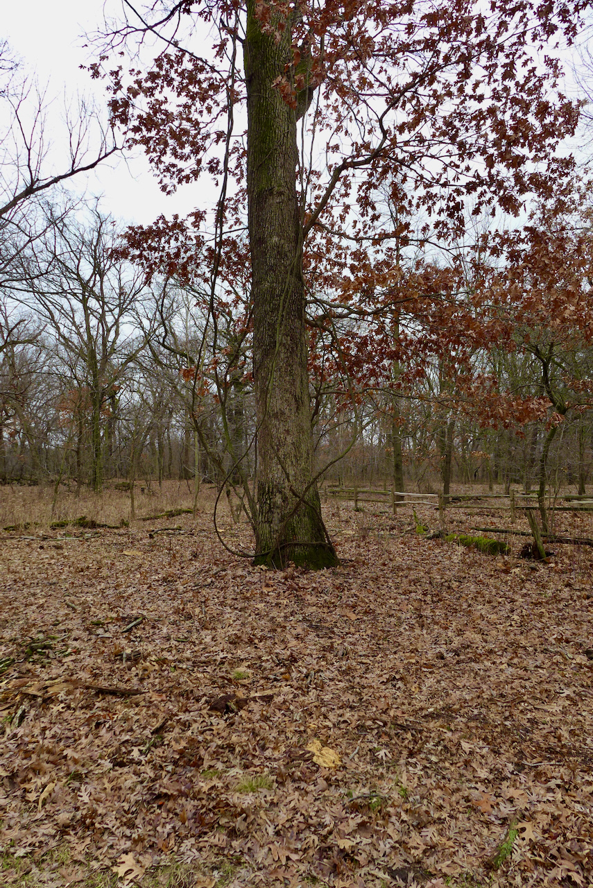
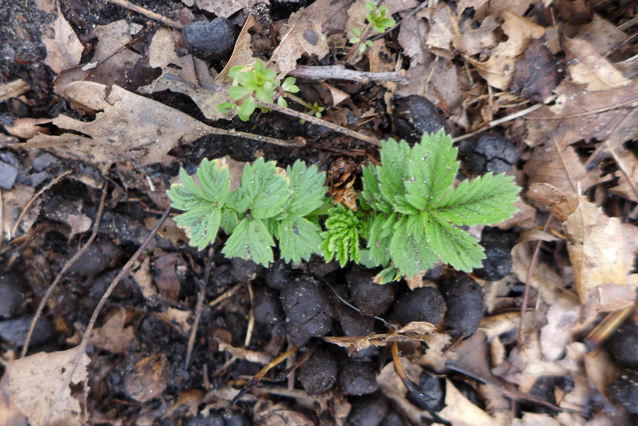
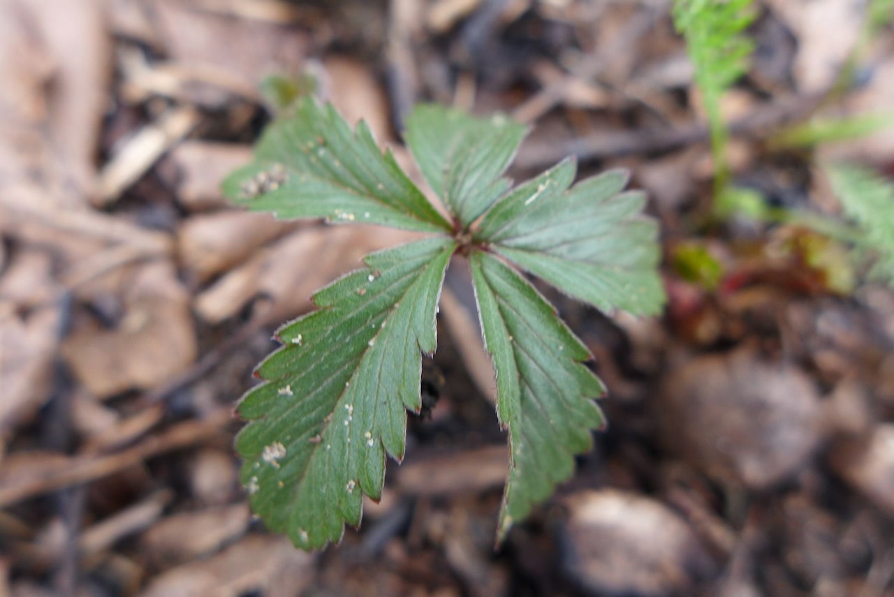
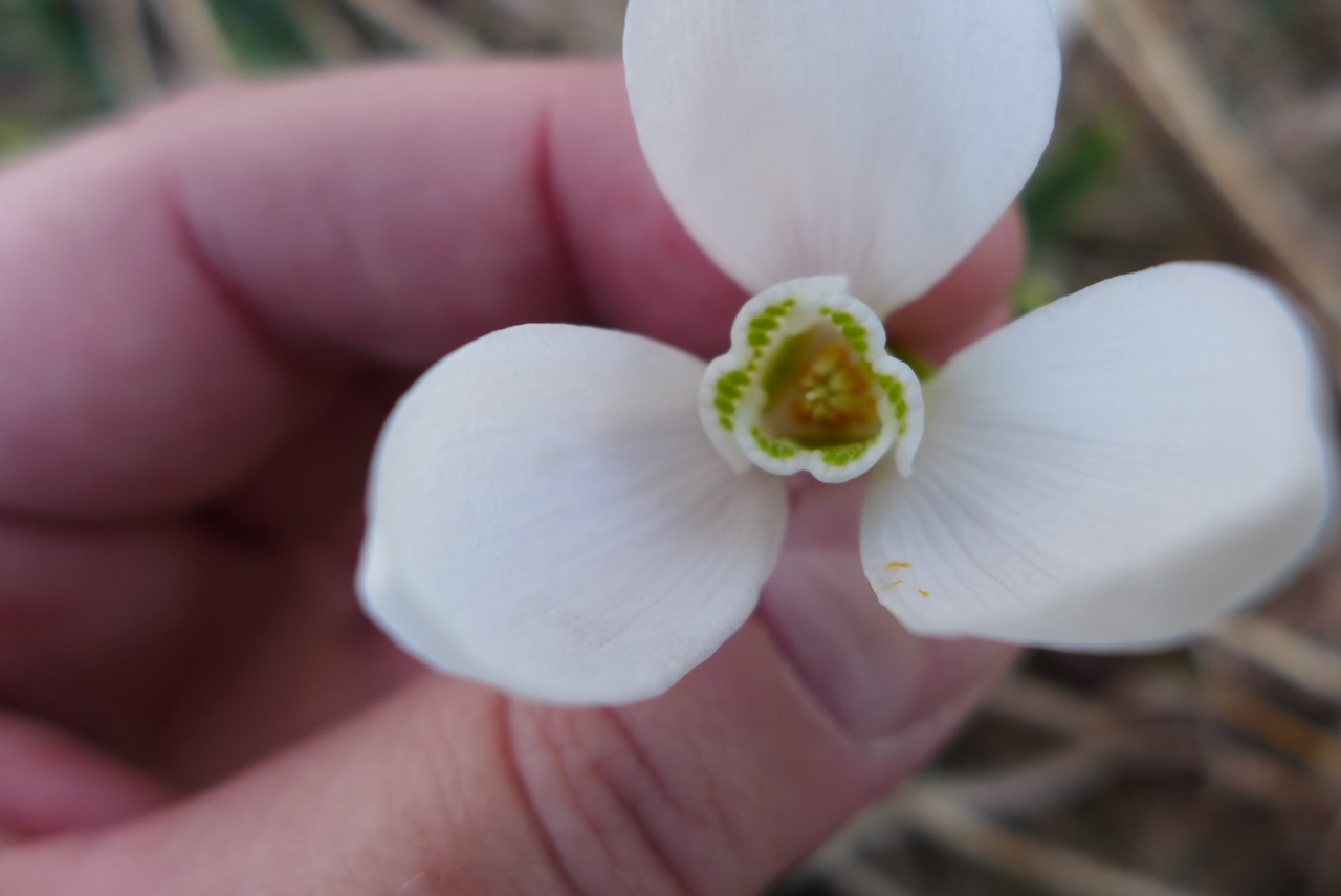
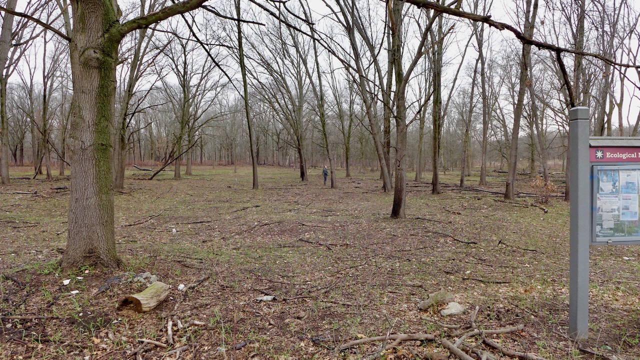
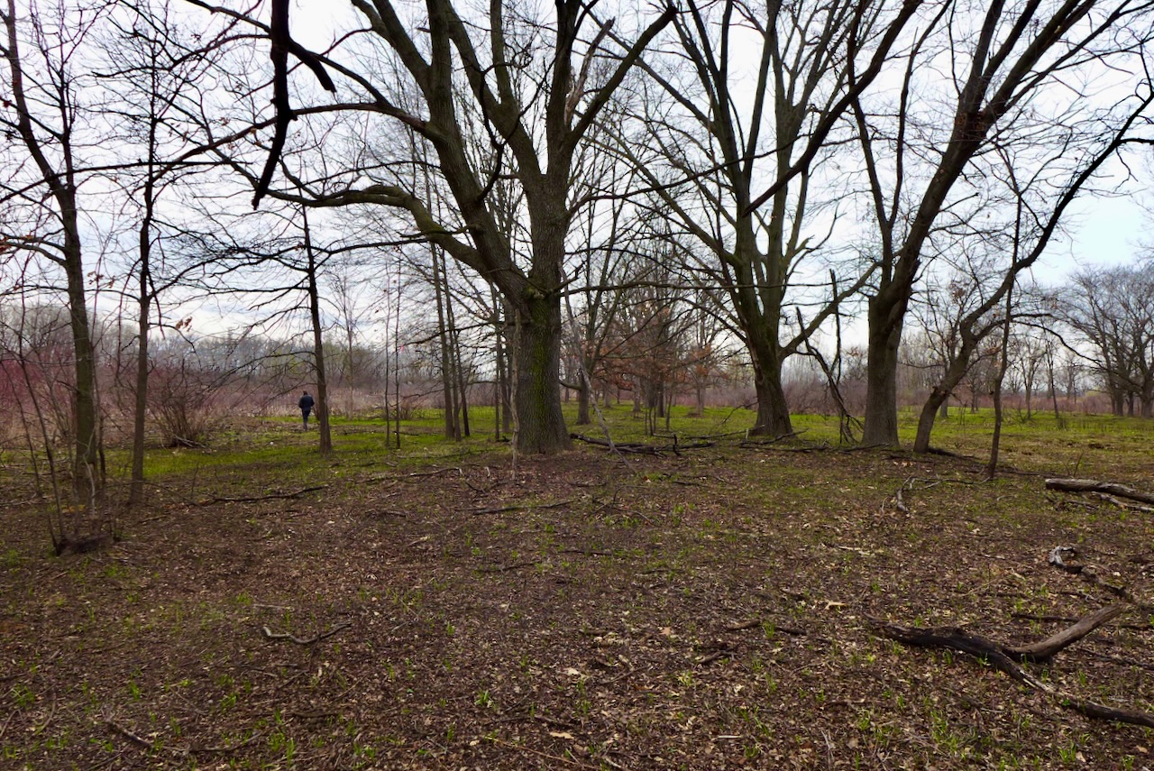
Too early for spring ephemerals in flower; some favorites would be right here under this oak.
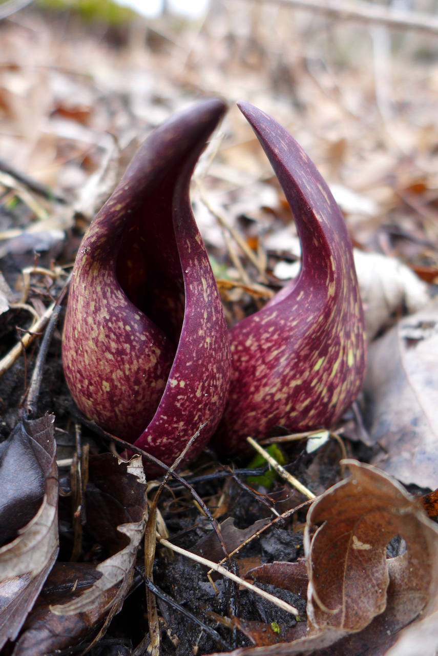
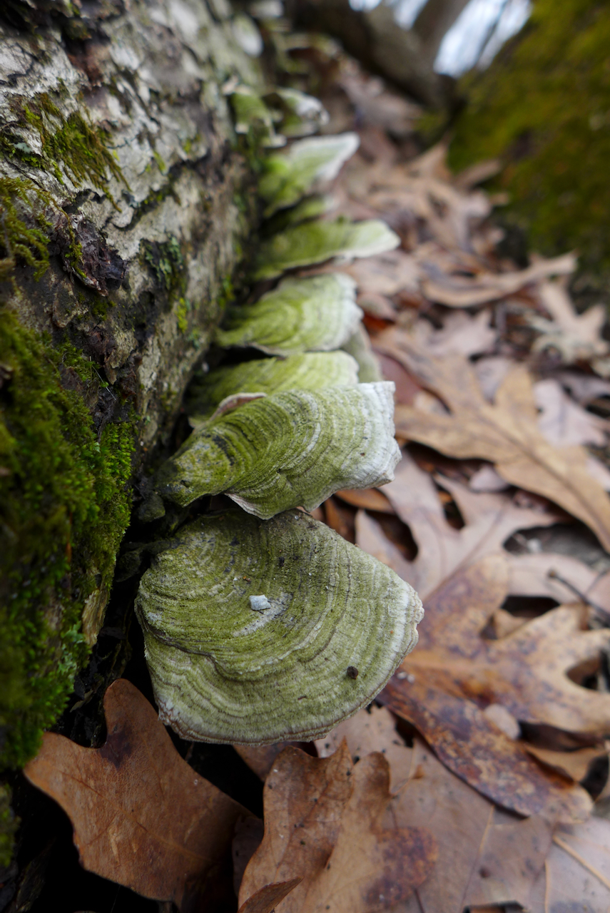
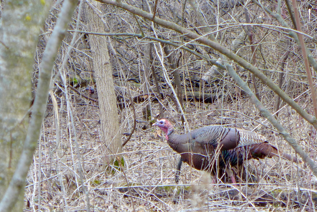
But there were other friends to see!
Too early for spring ephemerals in flower; some favorites would be right here under this oak.
But there were other friends to see!
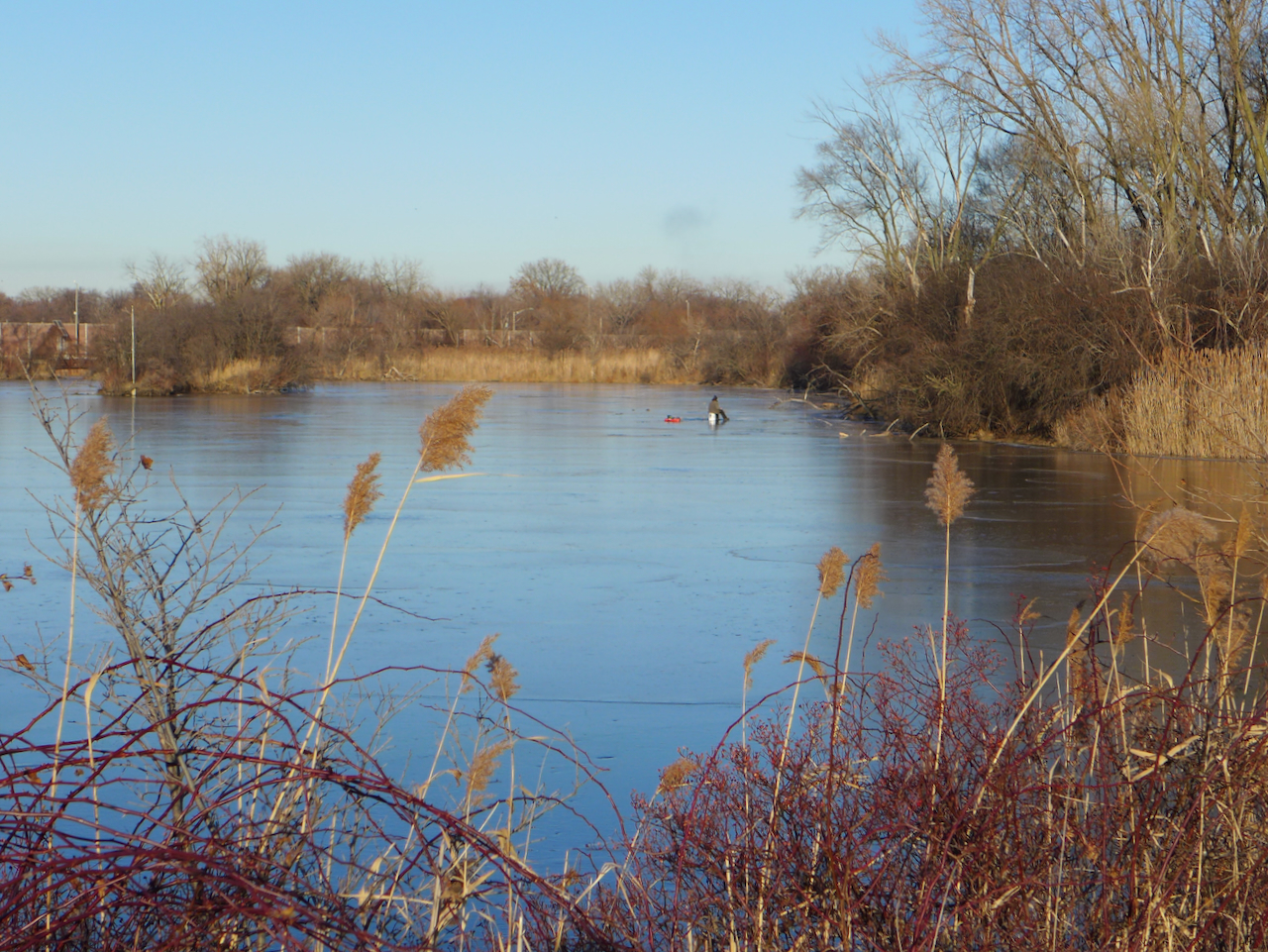
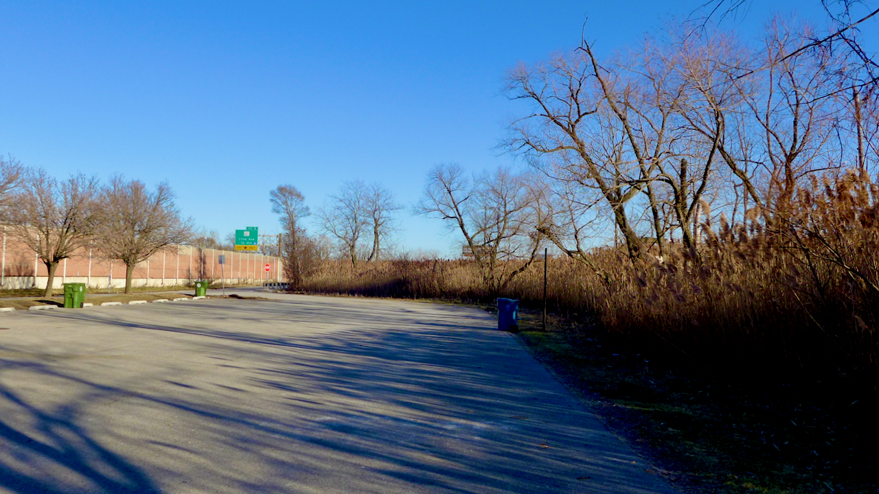
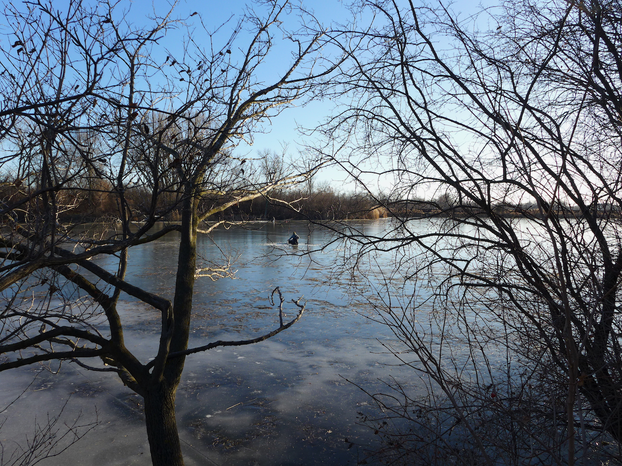
Today we adventured to a new spot, that, like lots of interesting things, unintuitively, is literally next to the highway; the greenspace is behind one of the nondescript impenetrable sound barriers that I ponder while driving along the Borman Expressway.
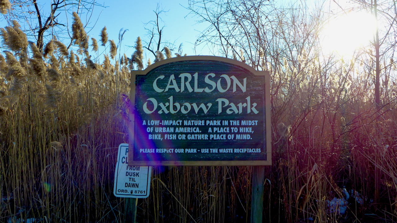
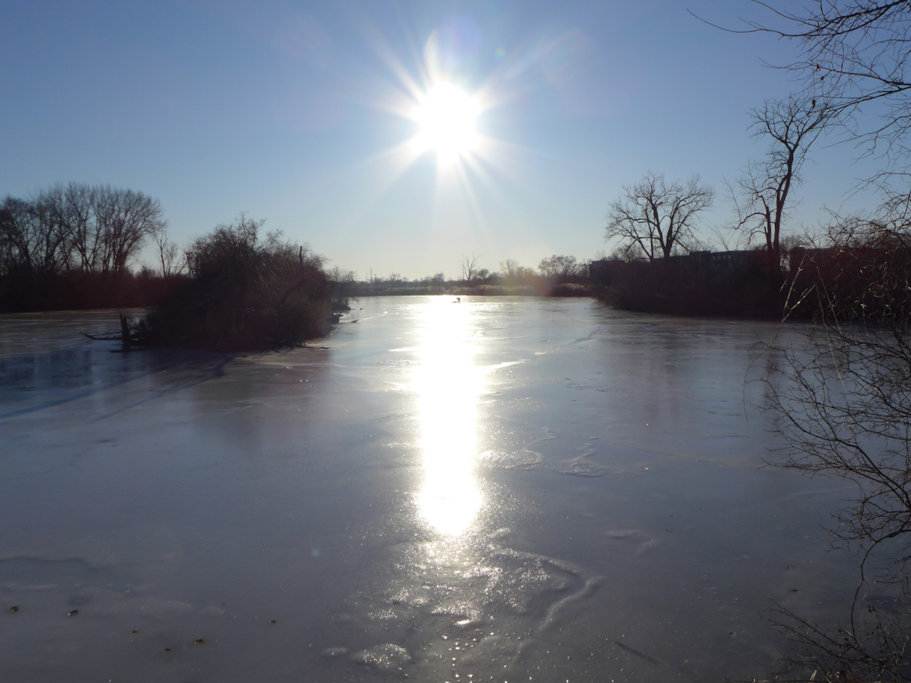
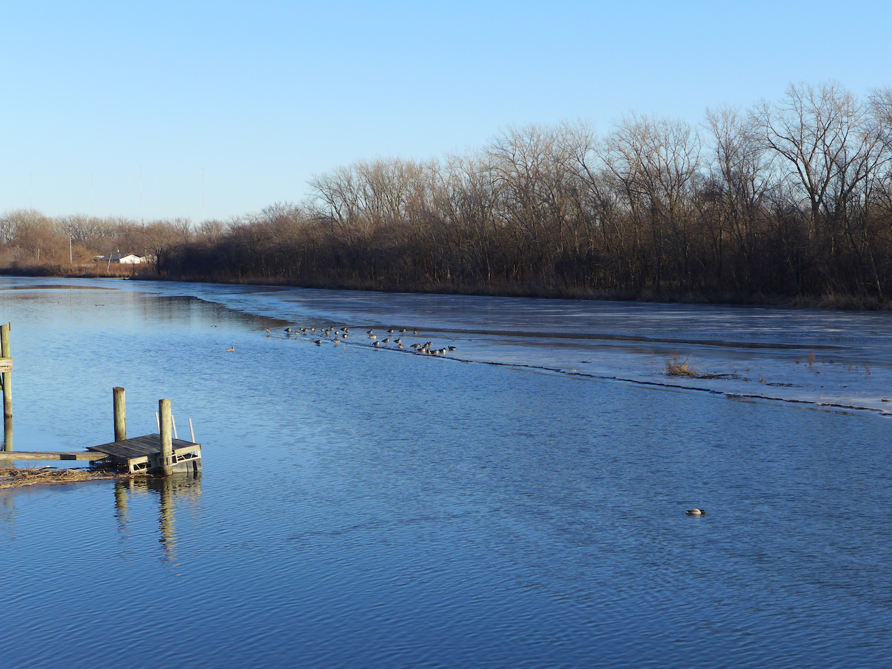
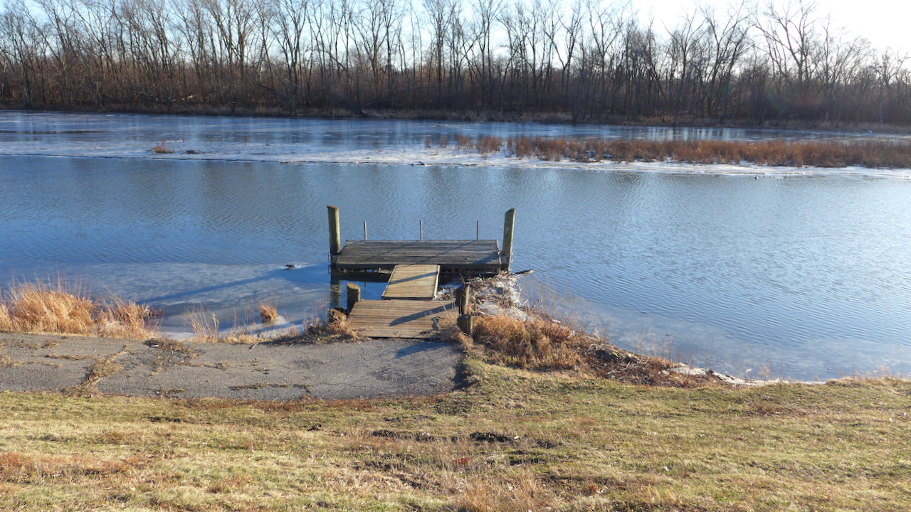
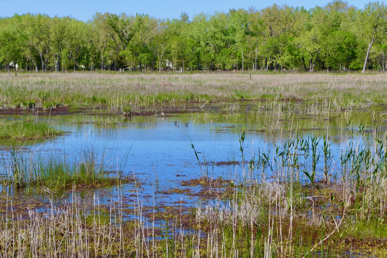
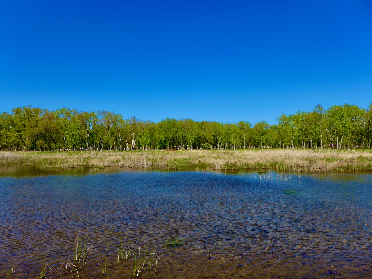
Once part of the Little Calumet River, the oxbow is cut off from the river for the most part, and are now small lakes, great for fishing any time of year. Three ice fishers were out today!
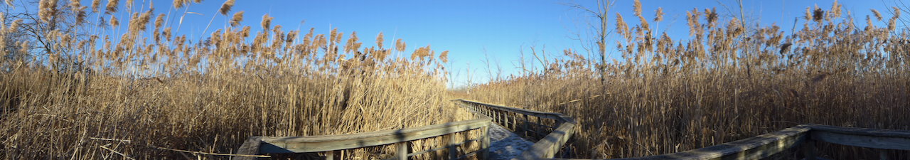
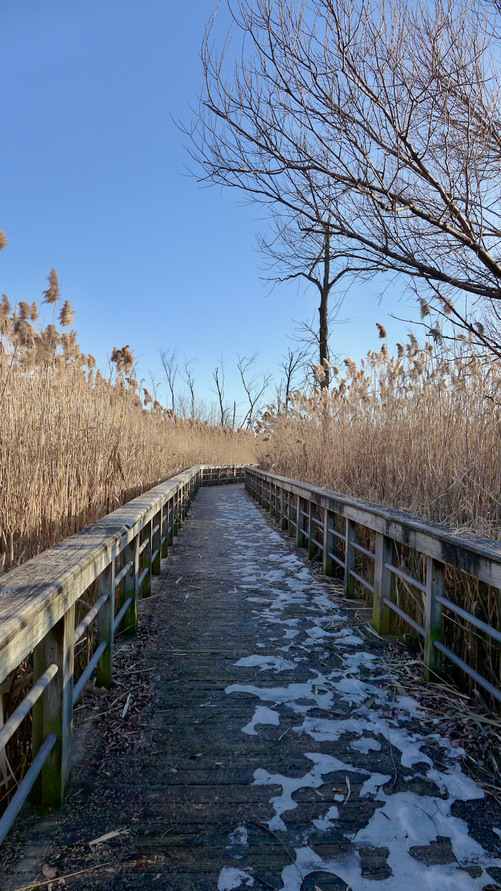
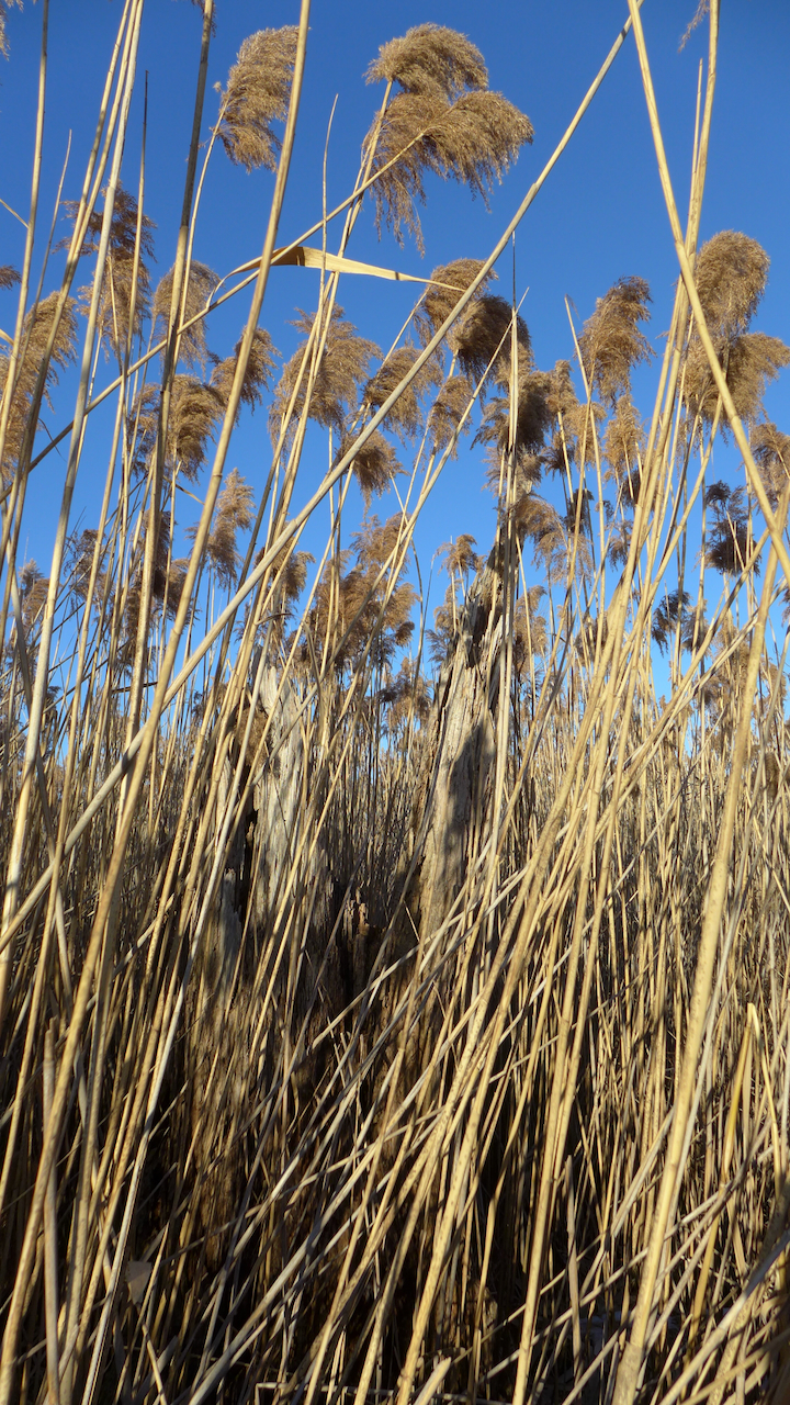
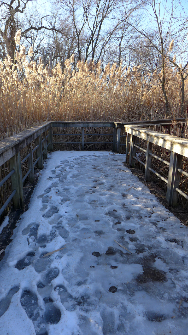
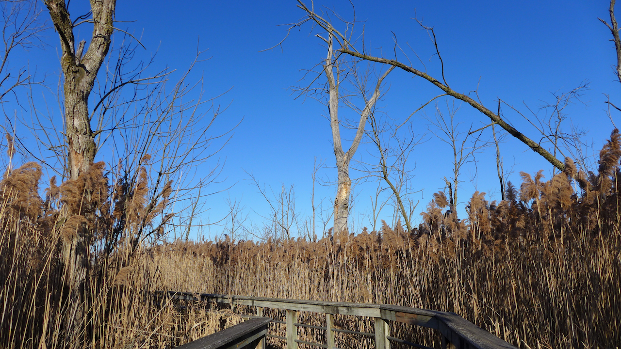
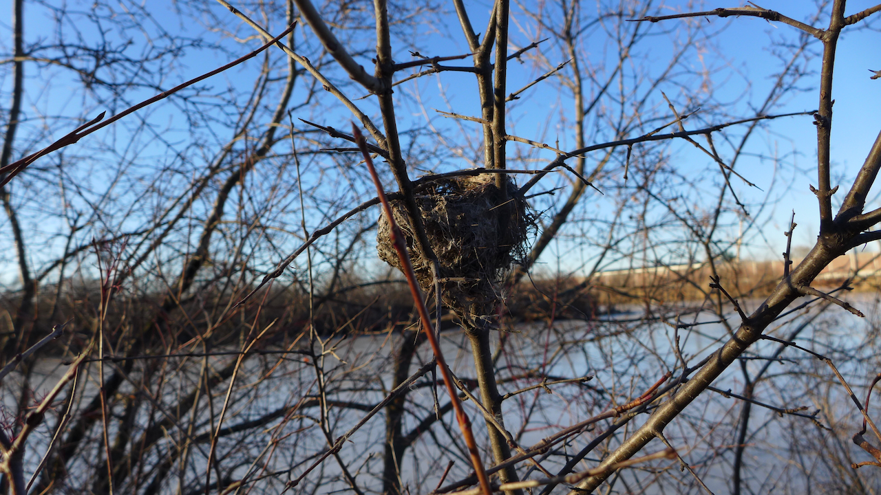
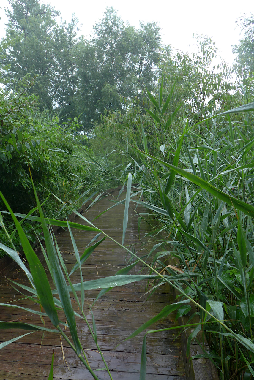
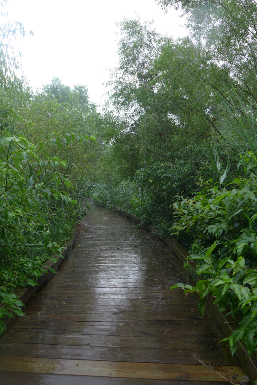
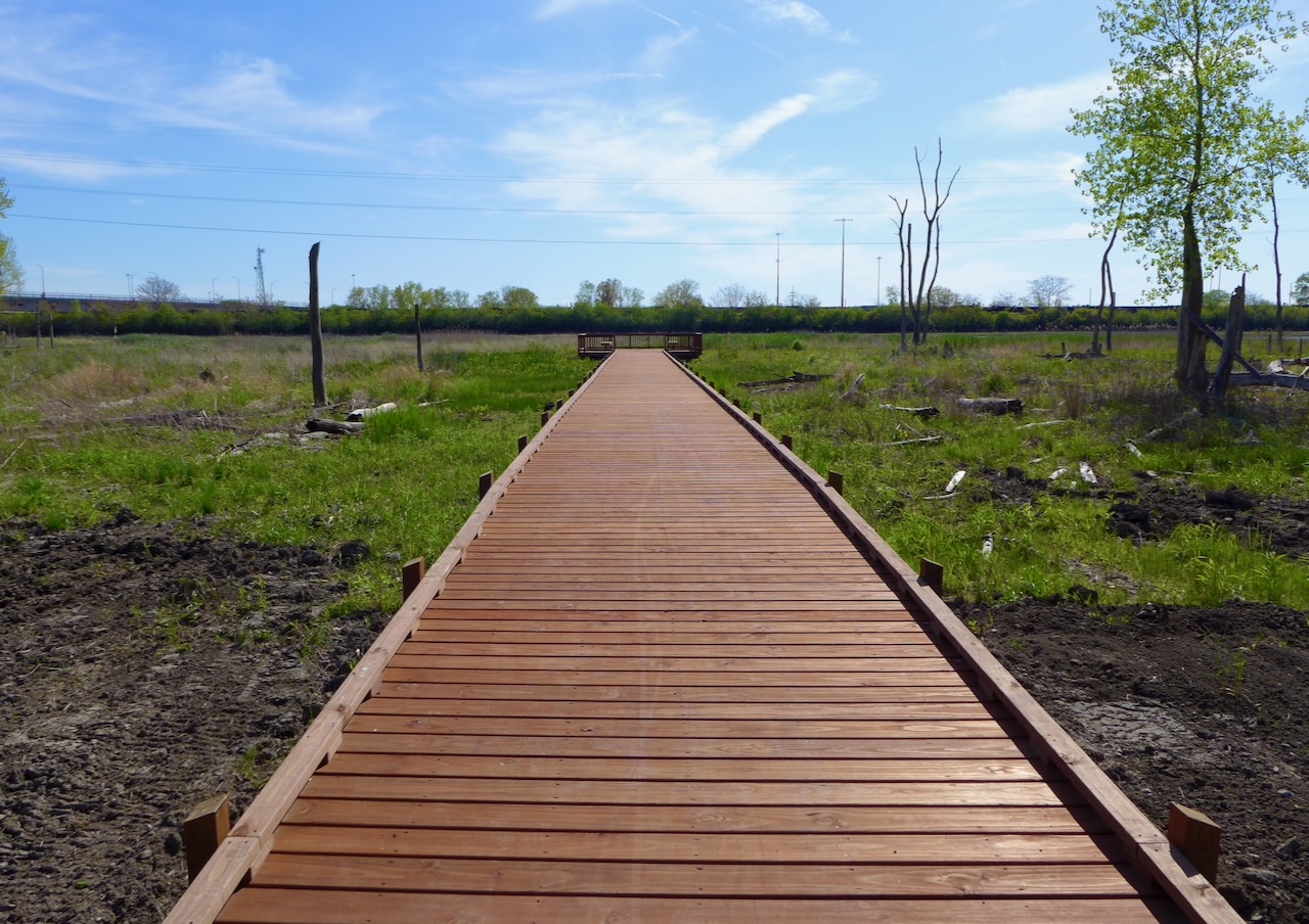
I love a boardwalk! What was incredible about this one was it was walled, and filled in by Phragmites, from every angle. It is an absolutely monoculture, save for a few shrubs that would require a machete to get to. There is something beautiful about the complete seclusion, a wall of dry vegetation, lightly swaying in the wind, framing the corners of the maze.
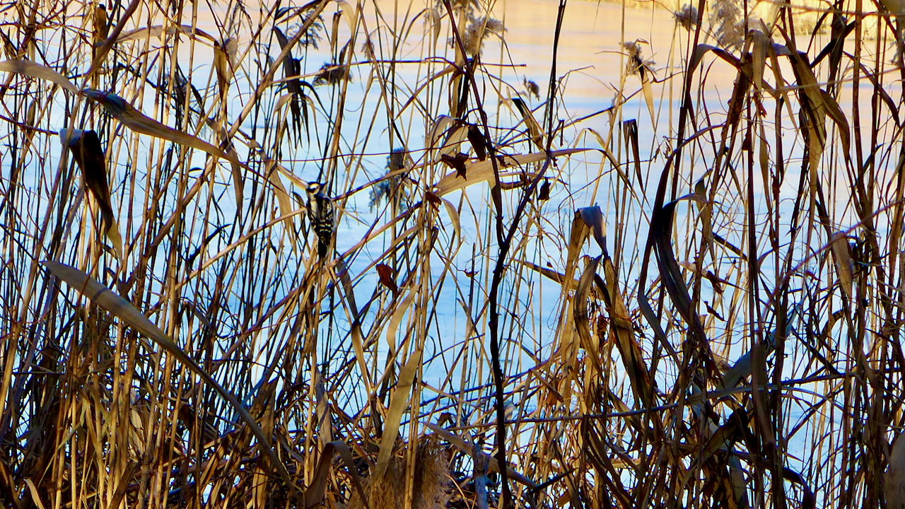
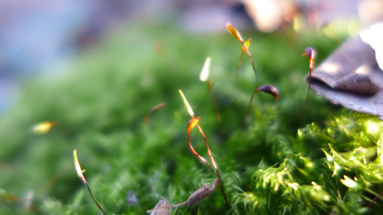
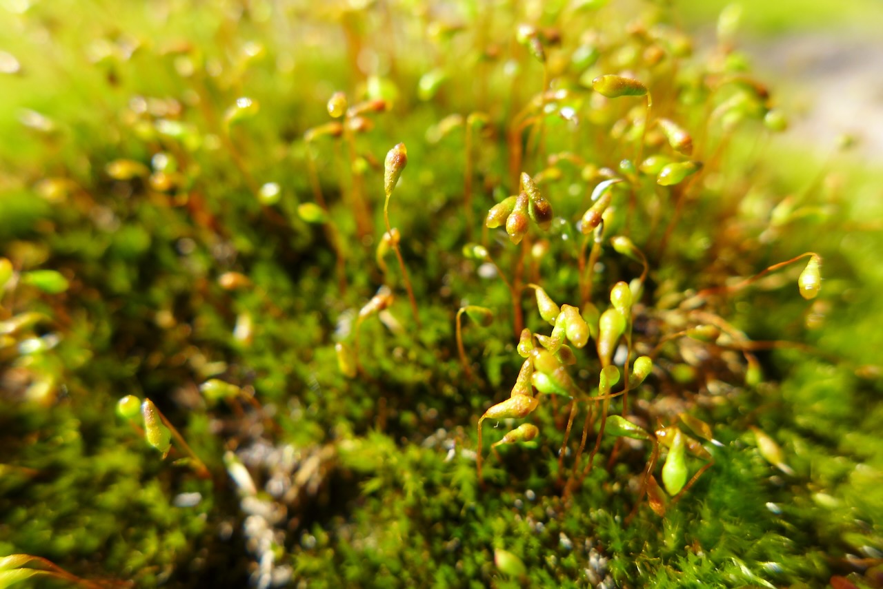
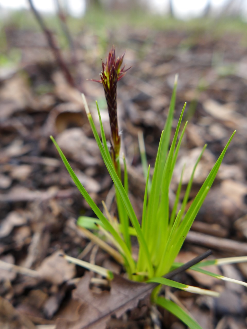
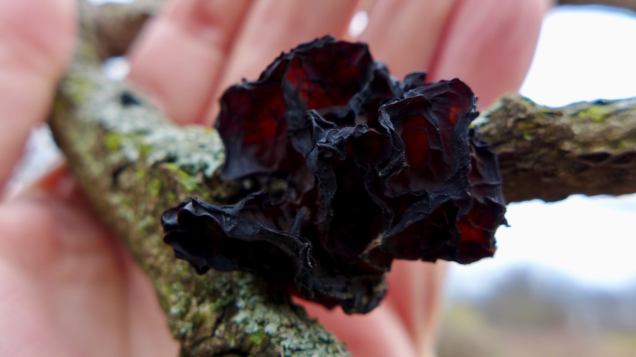
Signs of life: A woodpecker amongst the reeds; fruiting moss; a bird nest yearning for new residents.

Atop the levee, looking south-southeast on the Little Calumet River.
I recently had a conversation with a colleague about what the heck a transect is. In ecology, it’s just an experimental tool, to help orient you to the landscape. Literally, it’s a line with known geographical coordinates. Gradients of various types are often revealed along a transect, through repeated sampling or experimental plots.
Urbanists like to talk about transects, especially in the context of the typology of the city. The transect articulates transitions between zones, with the idea that there are concentric circles of economic activities as you move out from the central city, from dense urban core, to sparse rural farmhouses.
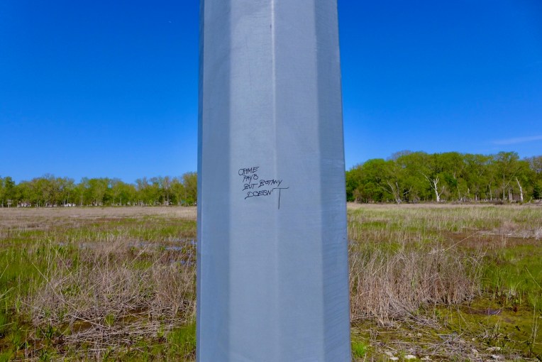
At Big Marsh, we are using the transect on Mars to look at how vegetation and soil characteristics vary along this transect, and over time. Part of our slow science research.
But what does this actually look like? It’s trivial for me to imagine, but not so for others. Here’s a collection of images I found that may help to visualize it.
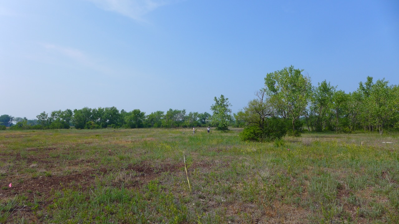
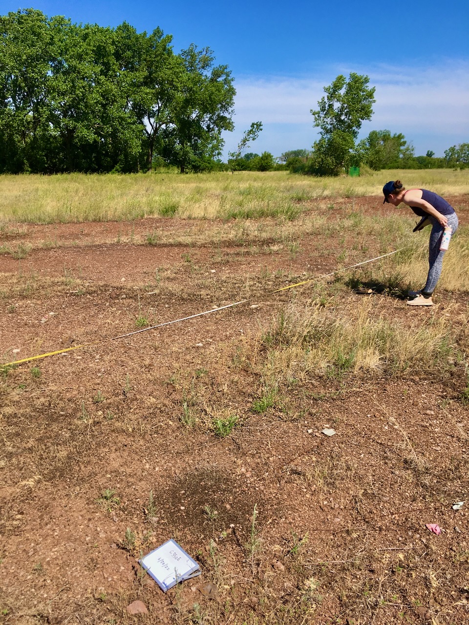
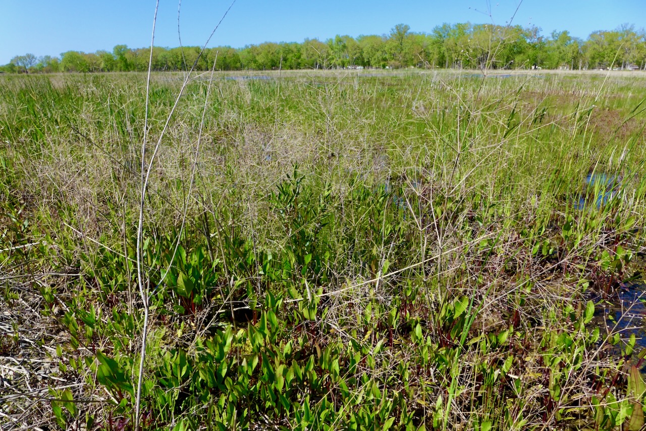
The transect goes from northish to southish on the east side of Big Marsh Park, across what’s affectionately called Mars, because of the unearthly iron-red slag. The transect is about 600m.
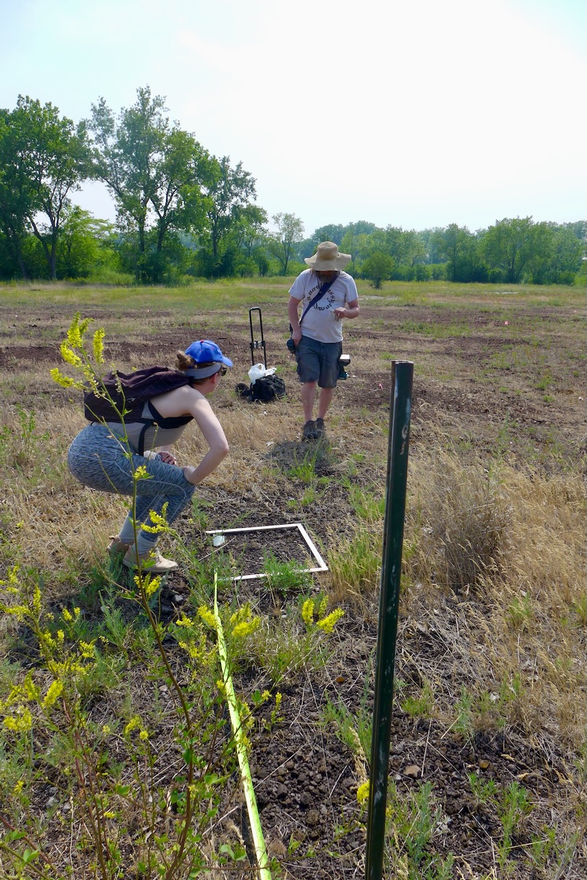
We set up a plot every 25m and record plant species and coverage twice a year. At the paired plots every 50m, there’s an additional plot on the opposite site of the marker, that was cleared of all plant material when plots were set up in 2020.
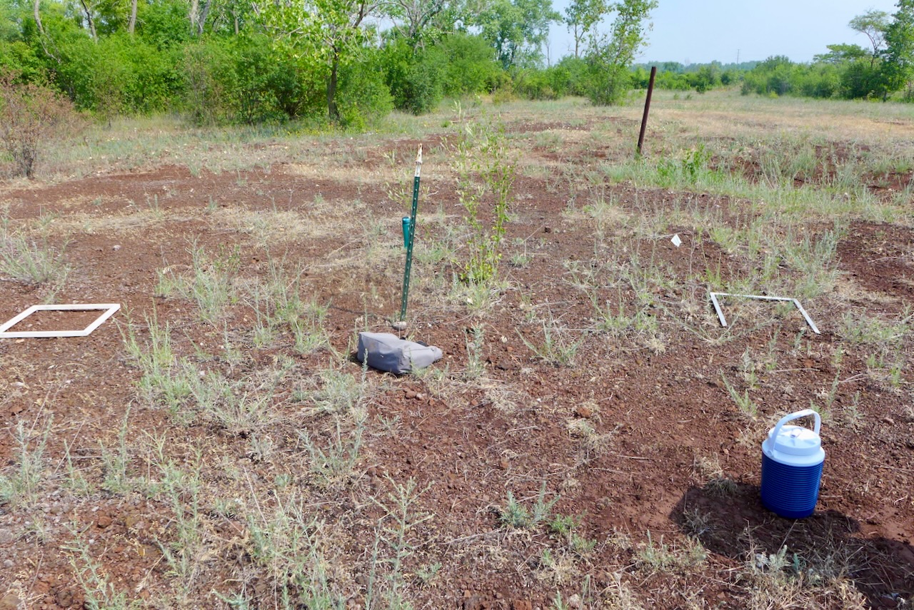
What’s the point of clearing plots? We want to see if there is a trend in the species that are able to persist on “bare ground,” and if there is a predictable order in which species make themselves at home in the plot, or a process called “ecological succession.”
By surveying the plants every year, we will see how community composition changes over time. We’ve collected six years of data, so stay tuned for a publication in the next decade!
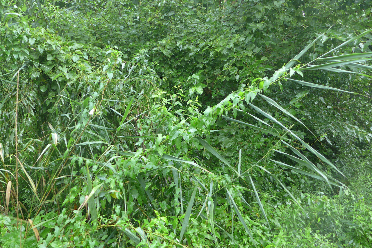
In recent years, I’ve visited Sand Ridge more often in the early spring, to locally see skunk cabbages and ephemerals. On this day in July, it’s rainy and overgrown with the amorphous green of a late summer urban woodland.
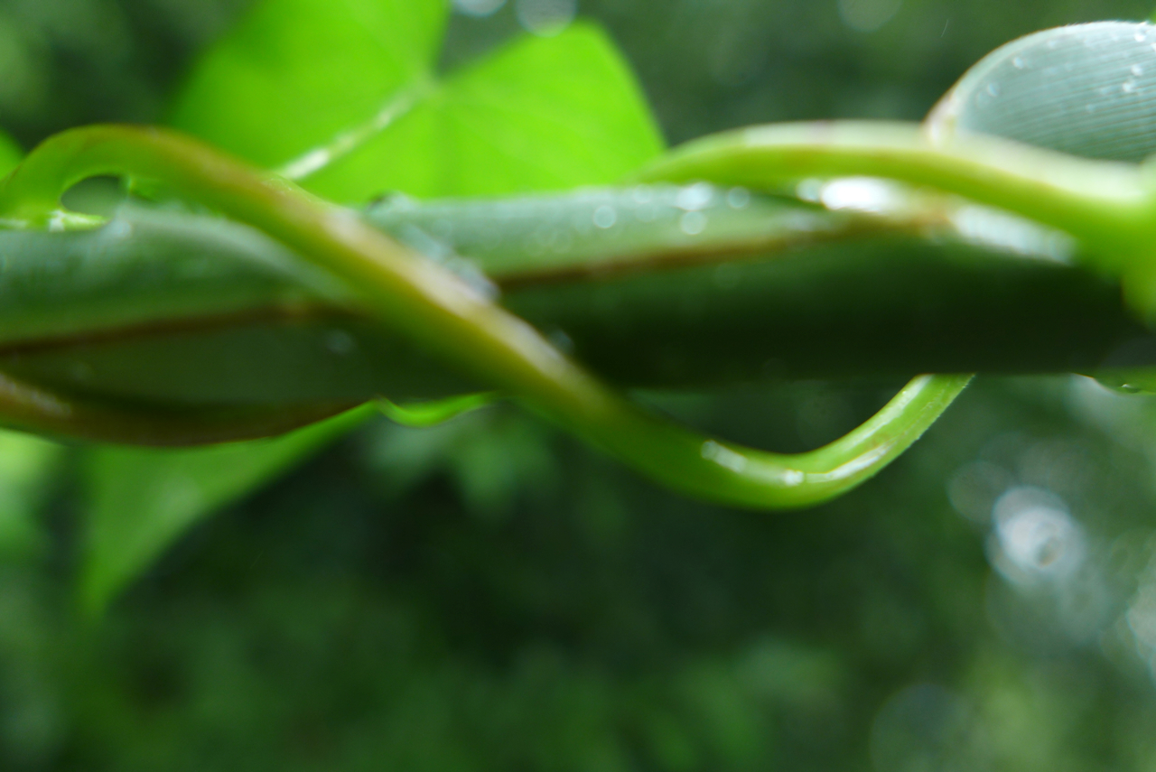
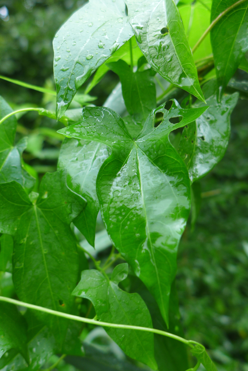
In the rain, the amorphous green belies the competition in front of us: just out of frame,
the hedge bindweed vine is twisting up Phragmites, taking down and smothering this towering invasive plant. Living the vine life is just about spreading out and getting as much leaf area in sun as fast as possible. Think kudzu, bindweed, invasive Fallopia.
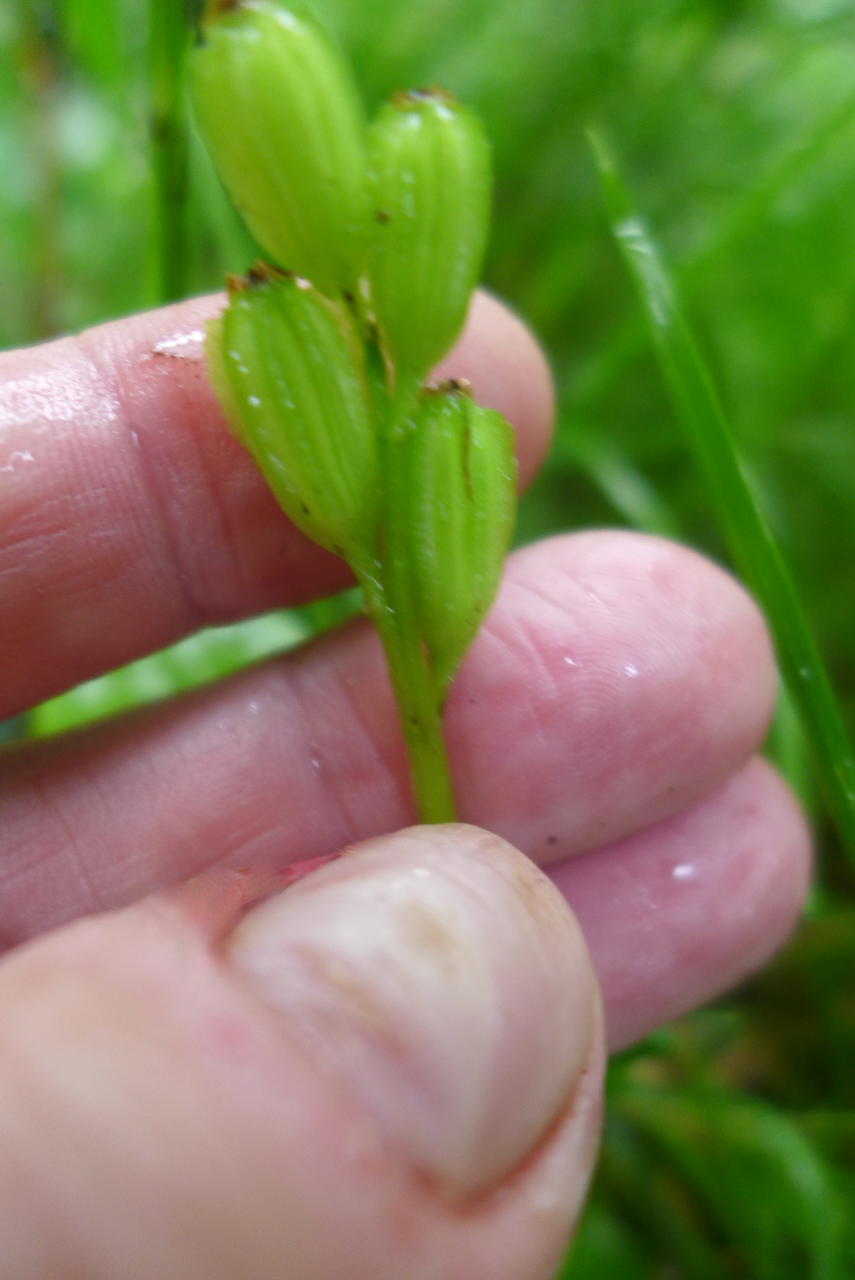
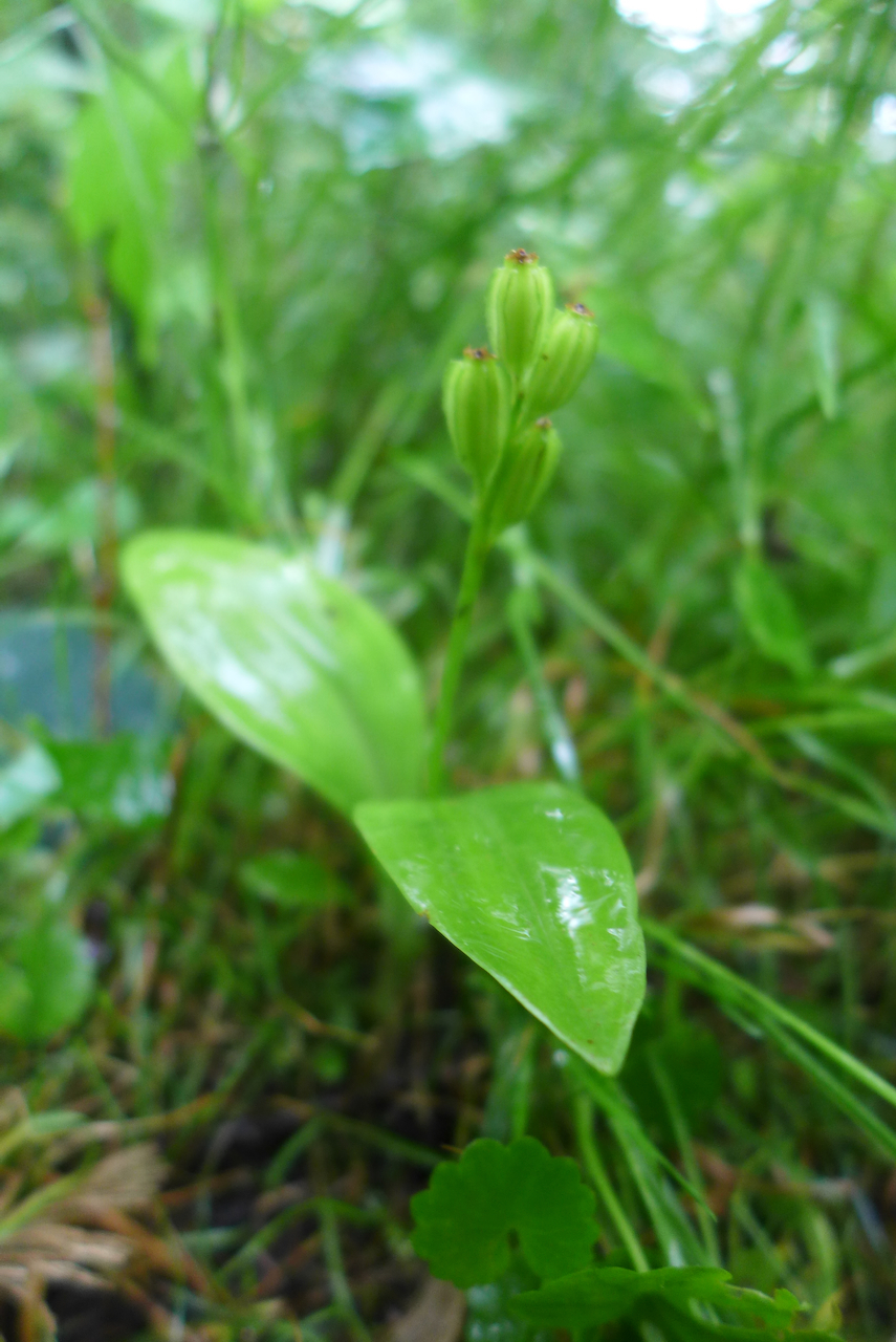
I’ve been visiting the same fen orchids at Sand Ridge for a few years now in different seasons. Note to self – remember that late-July is likely too late to see them in flower!
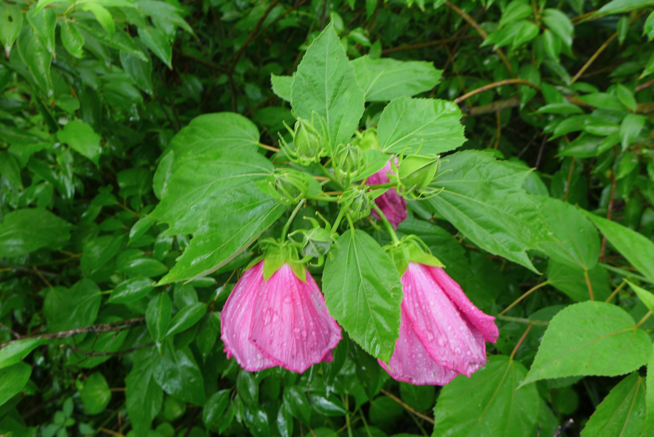
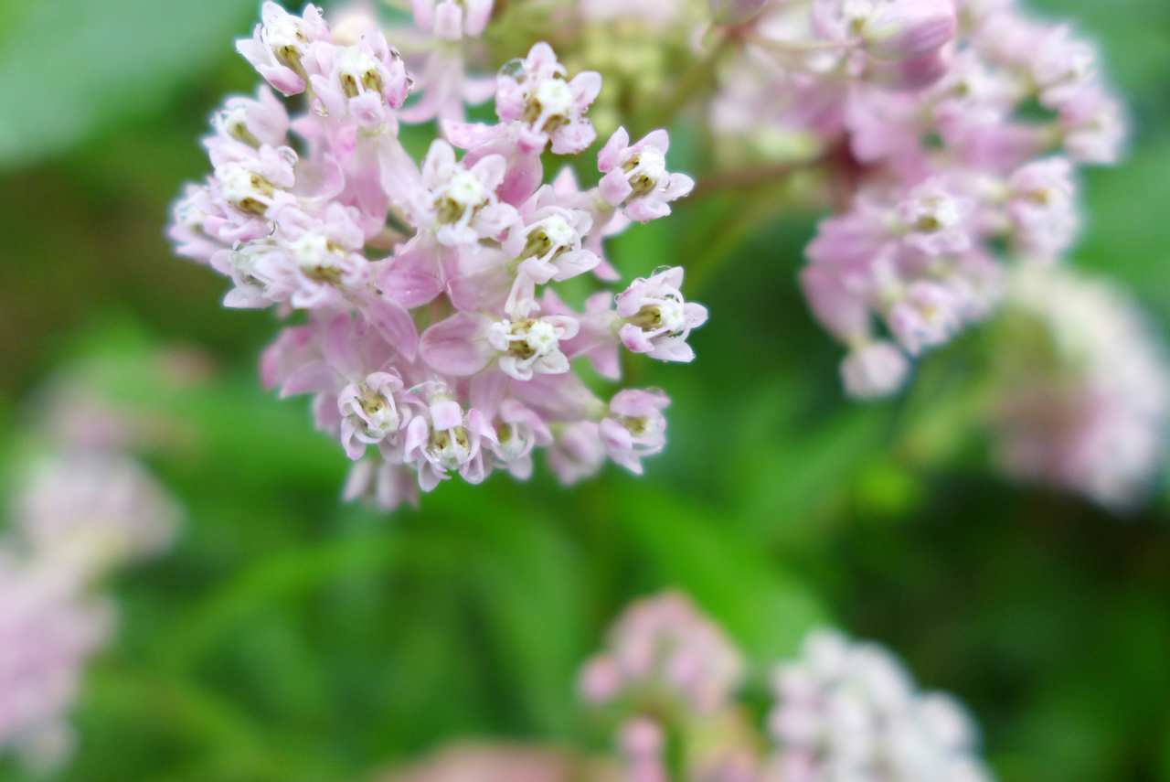
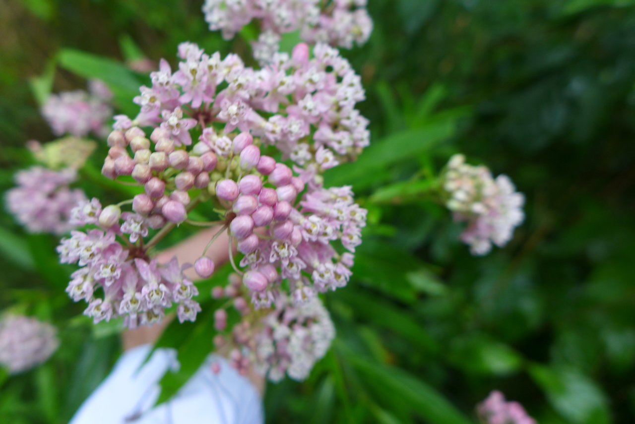
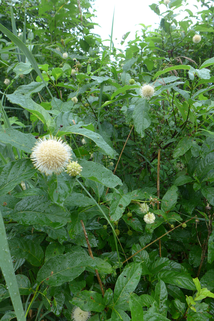
The swamp mallow are just starting to flower. In another few weeks, either side of the boardwalk will be profusely fuchsia!
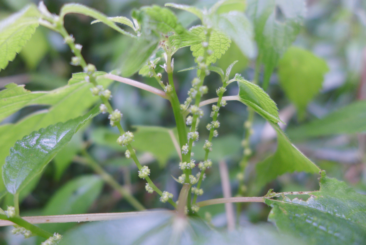
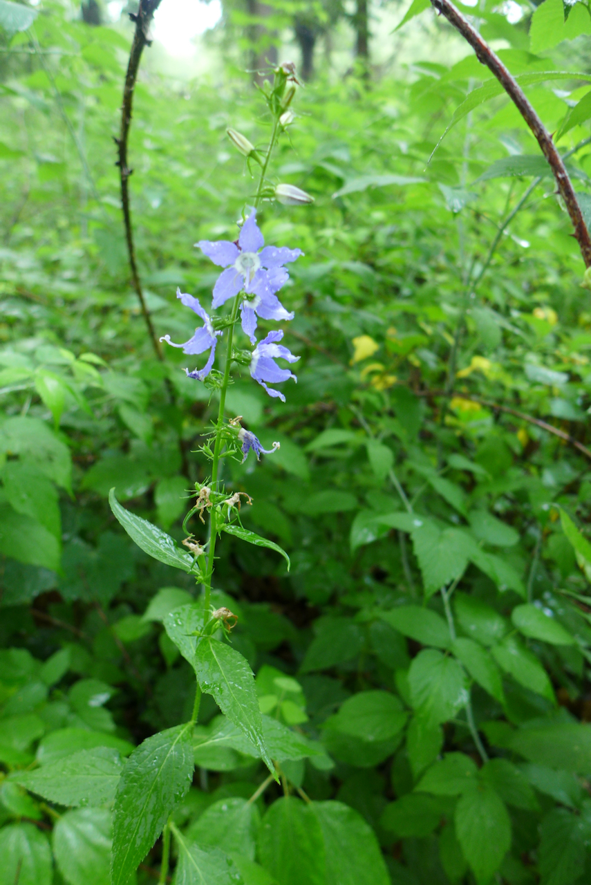
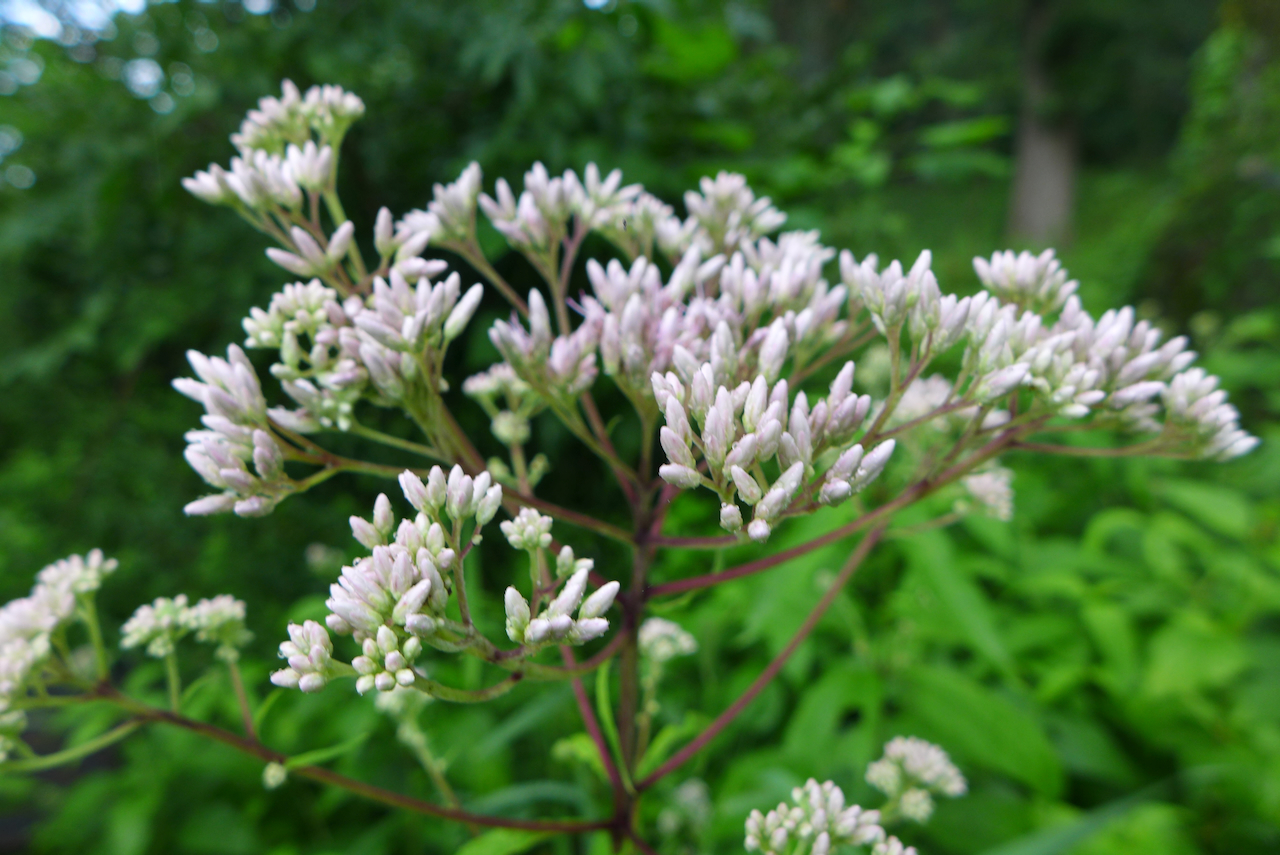
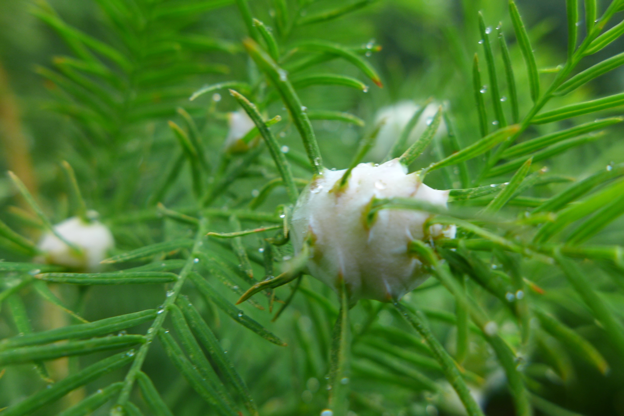
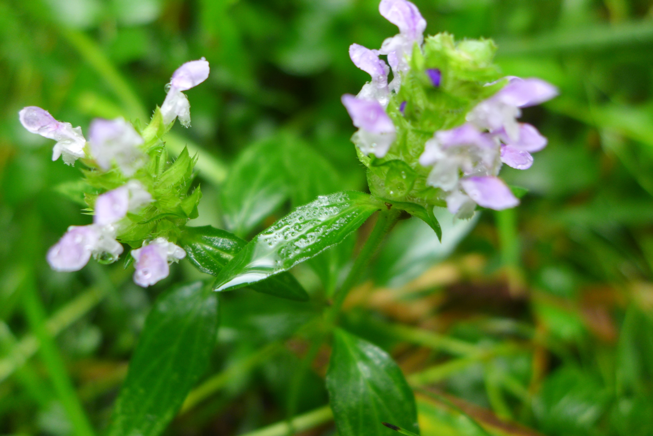
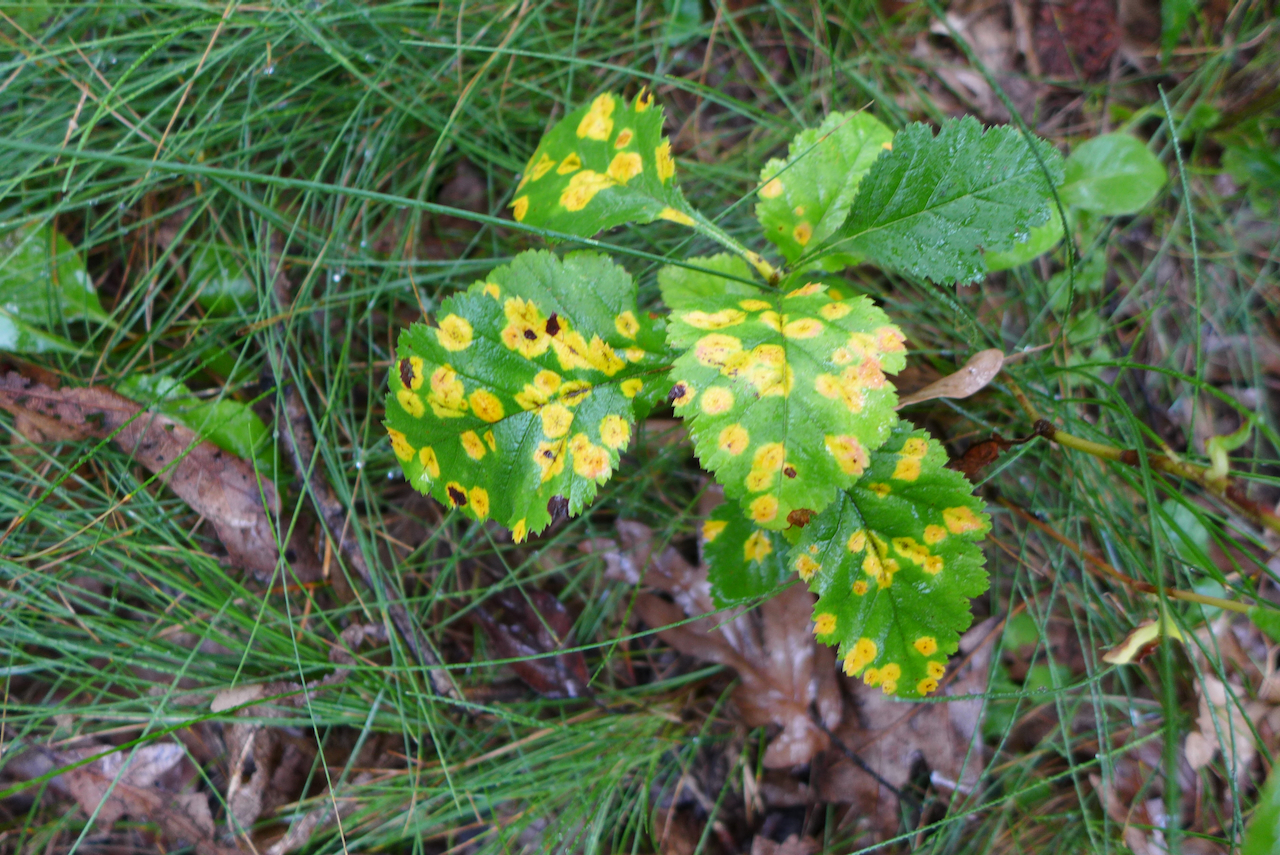
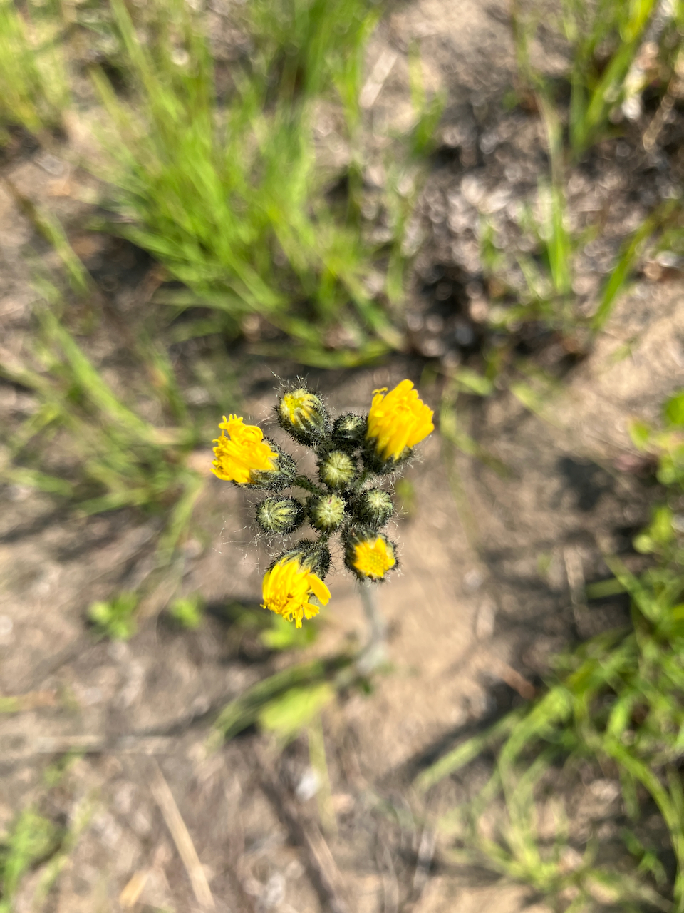
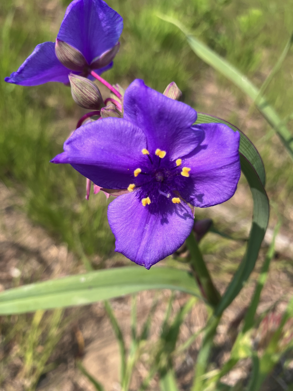
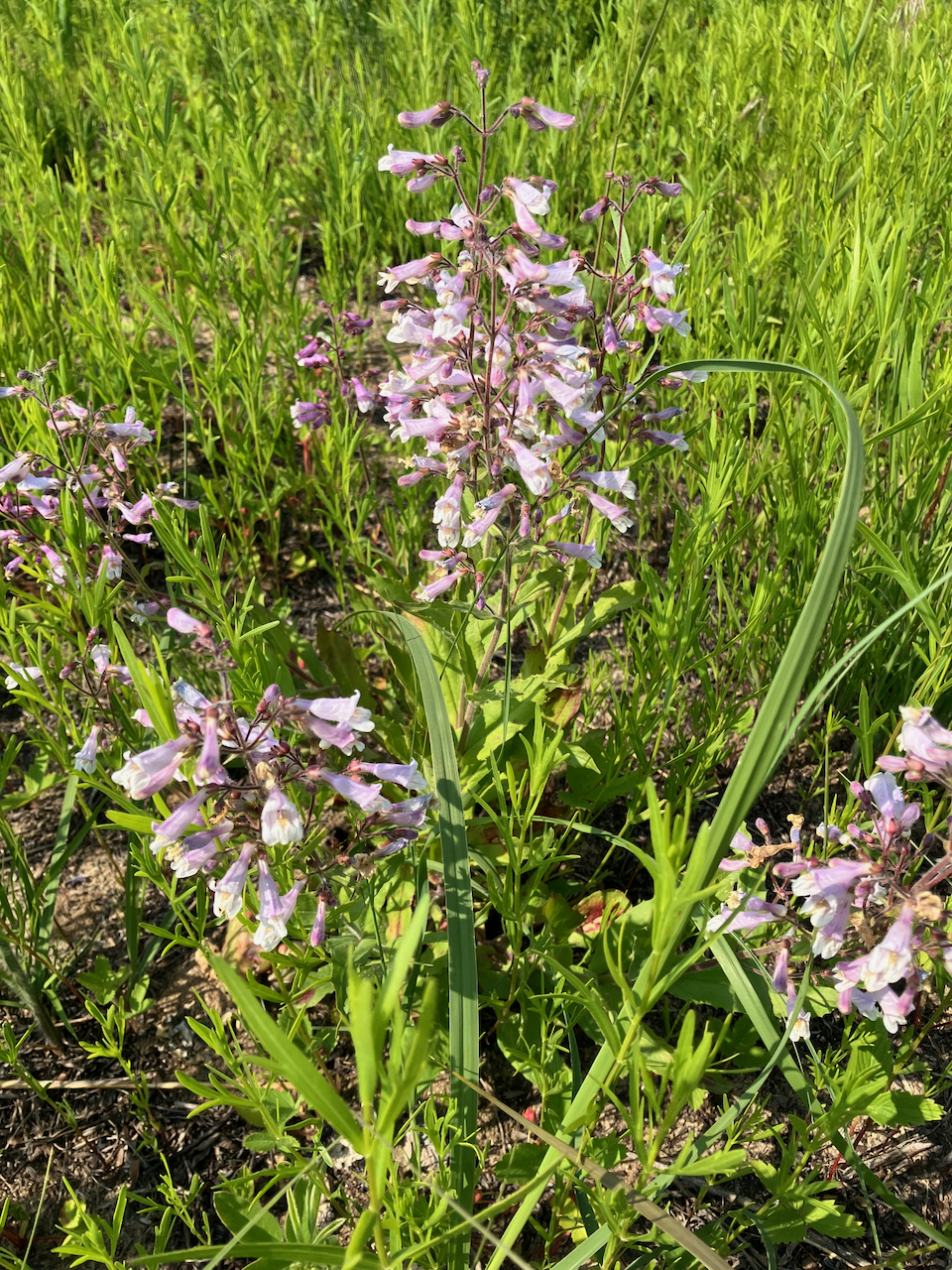
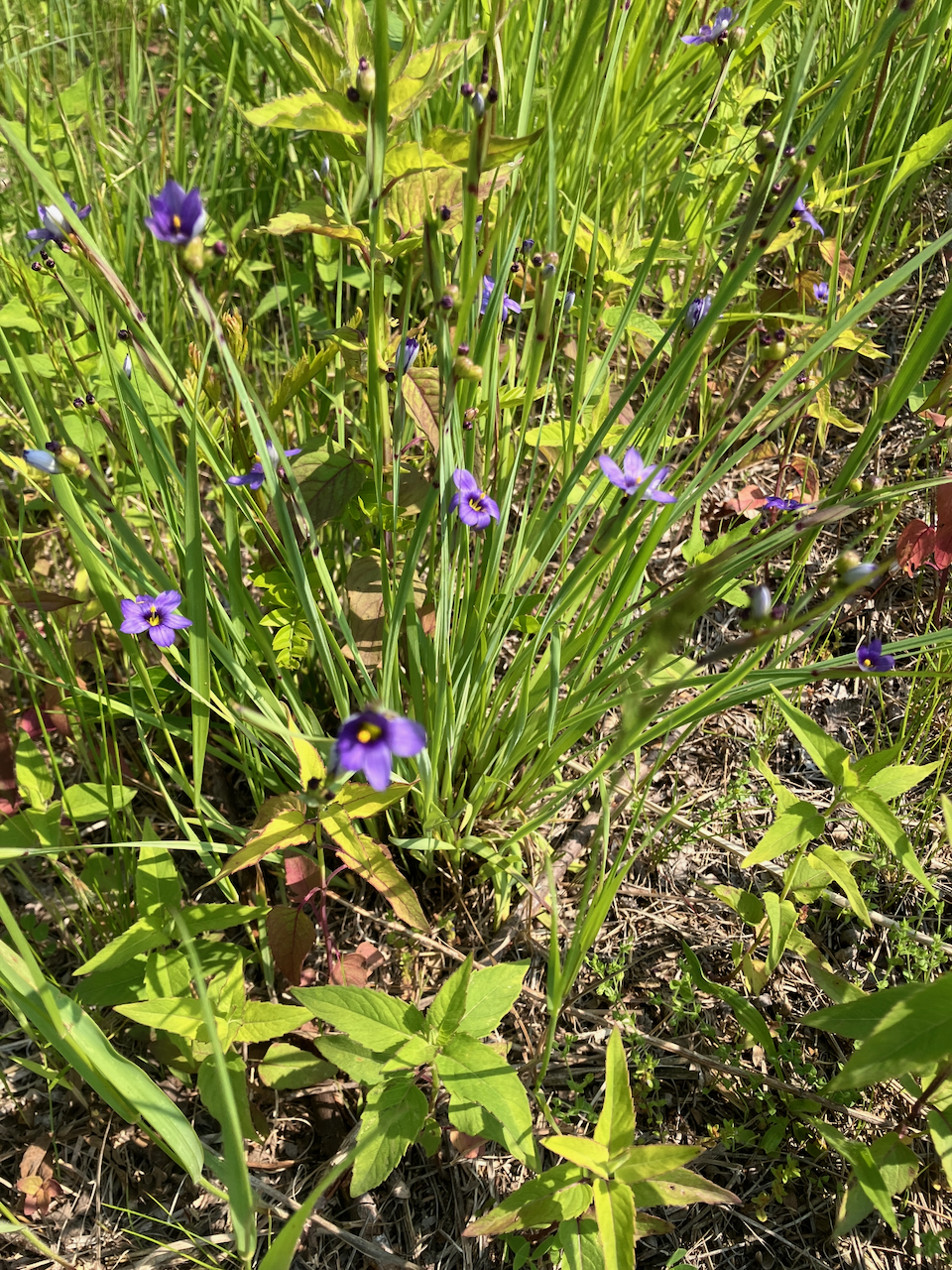
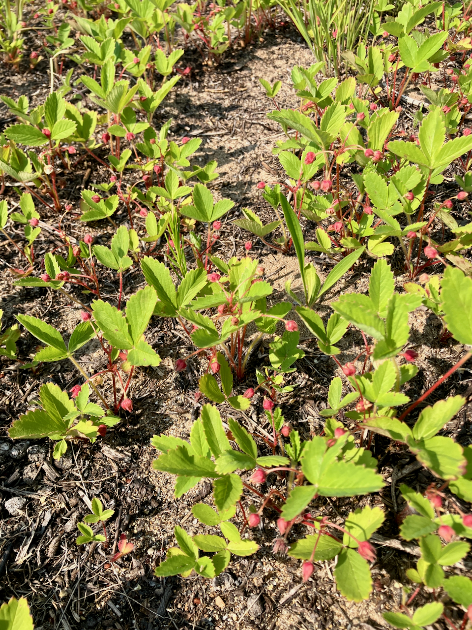
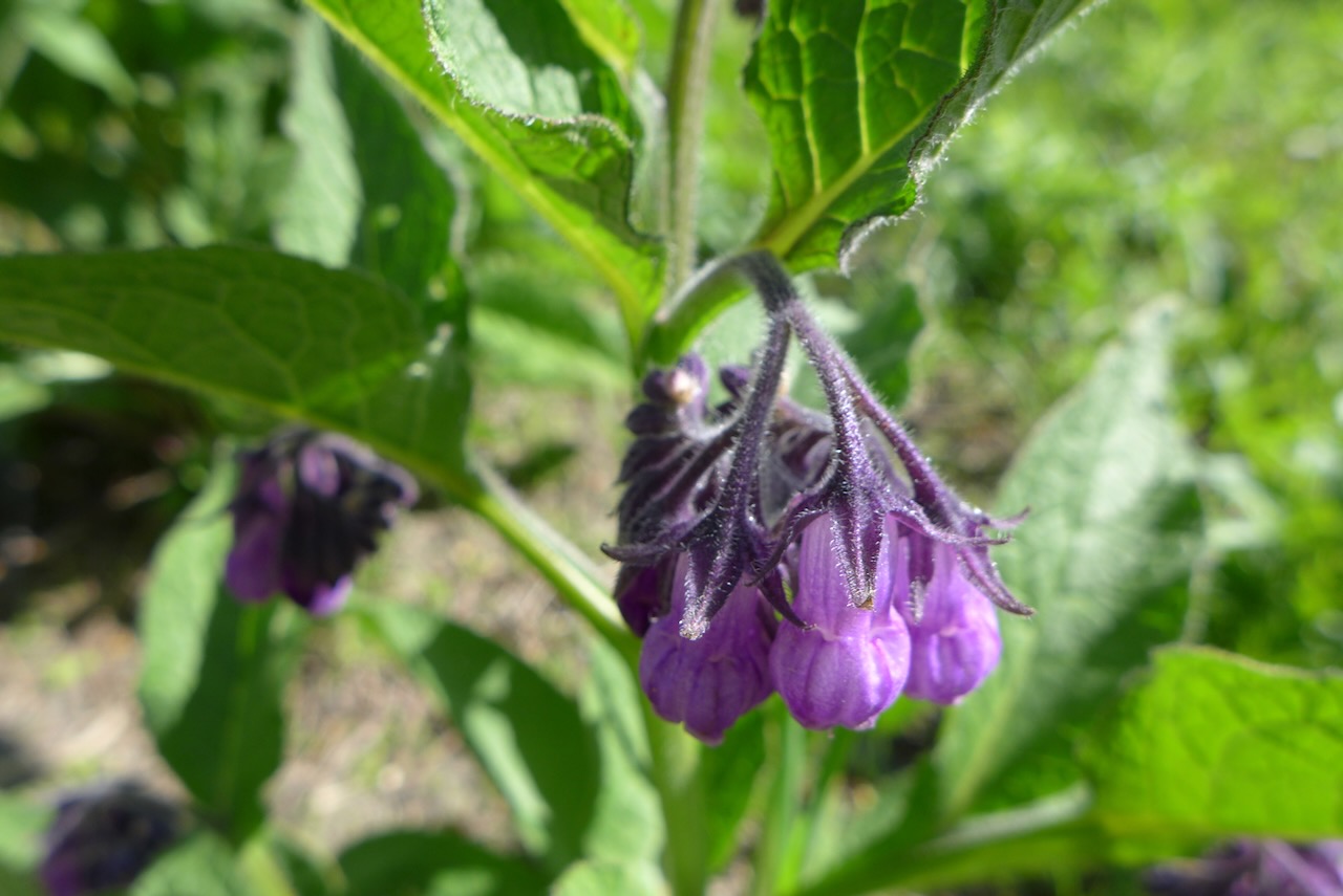
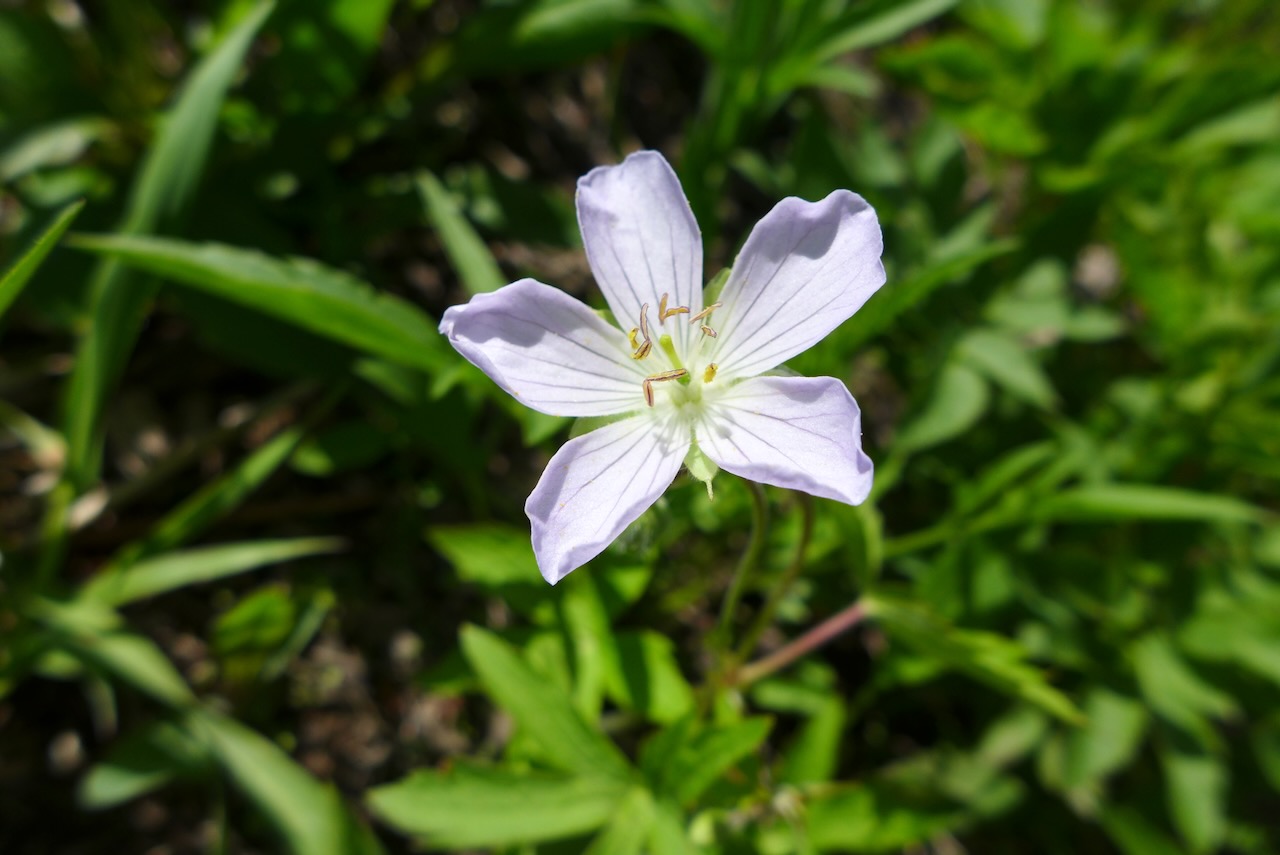
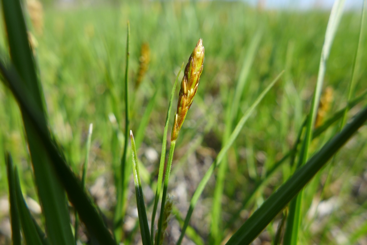
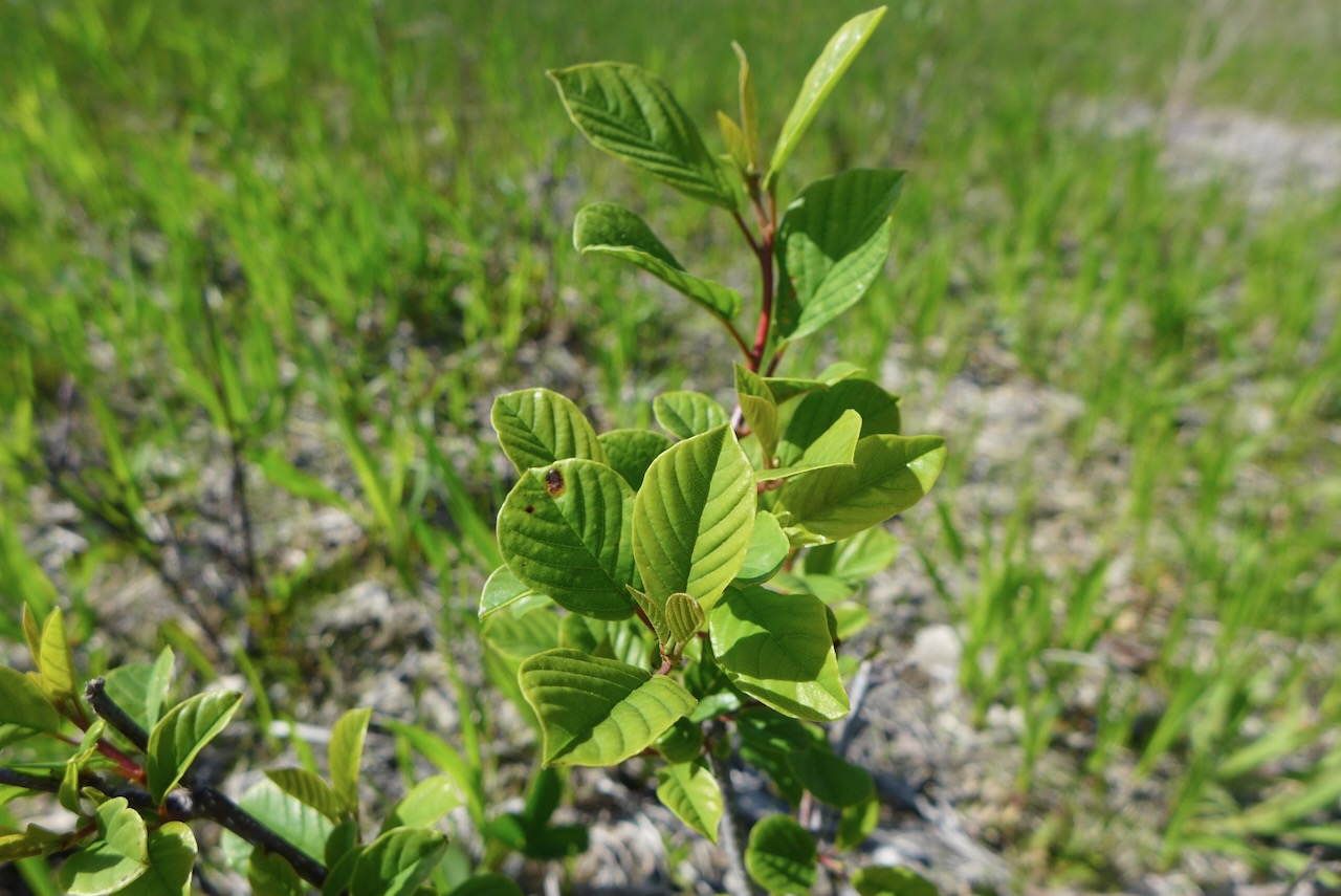
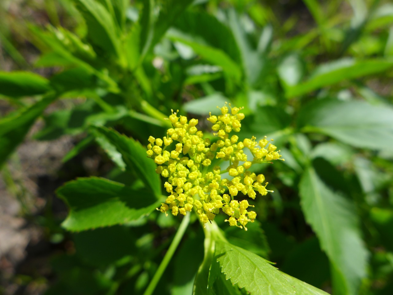
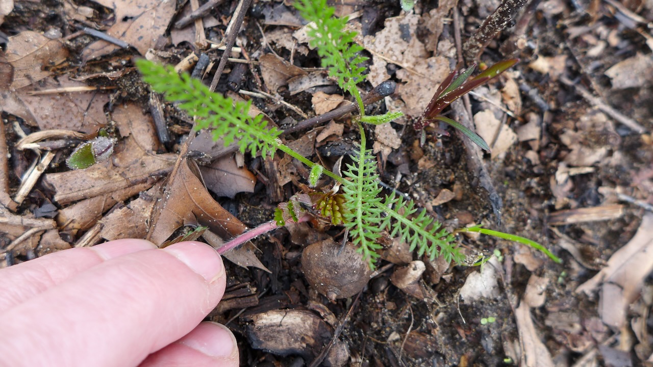
An assortment of other plant friends (and enemies!) on the trail:
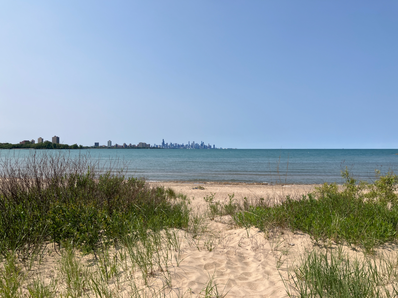
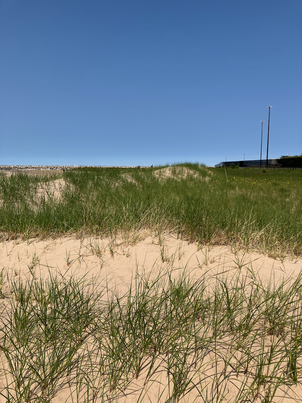
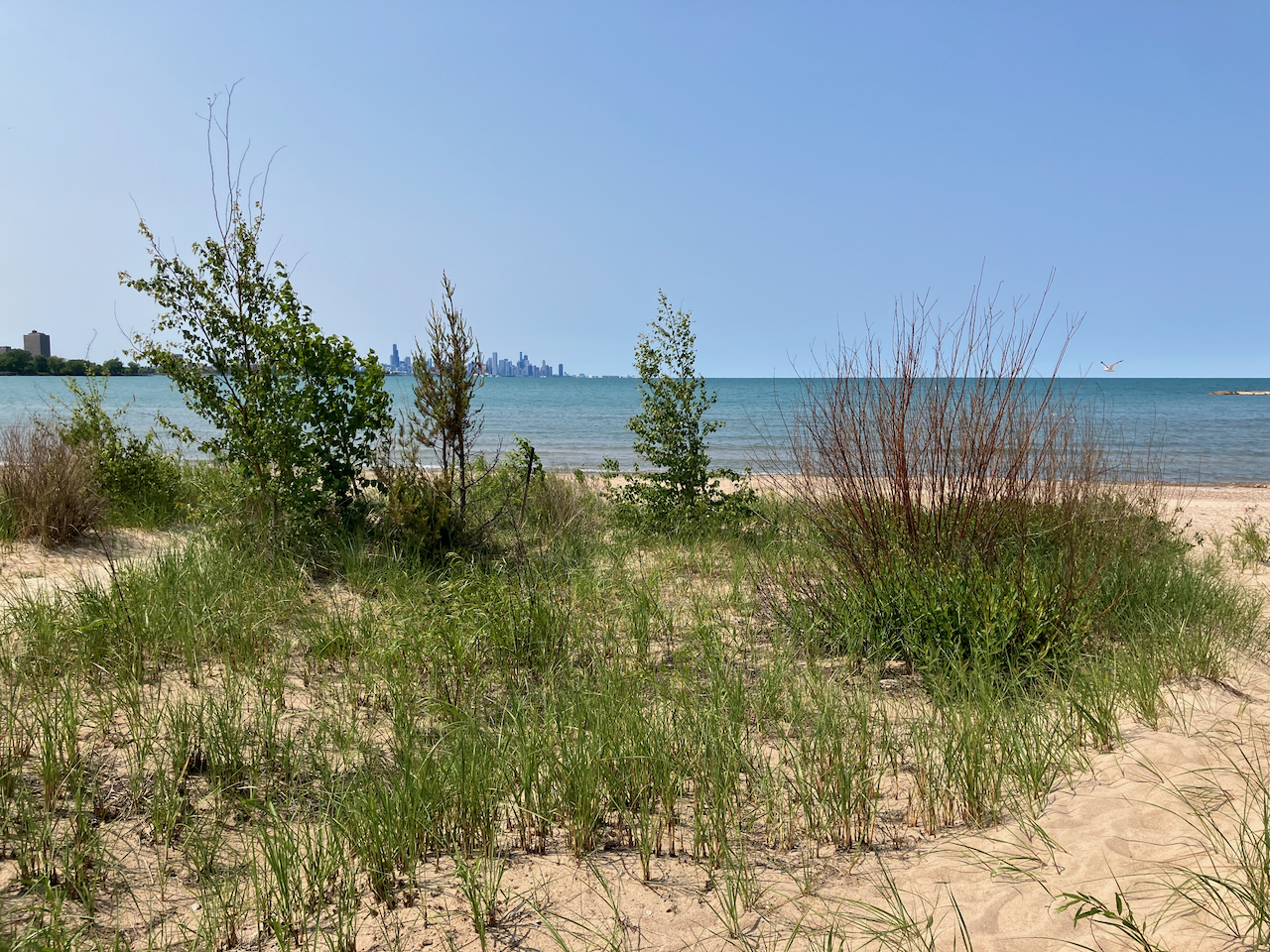
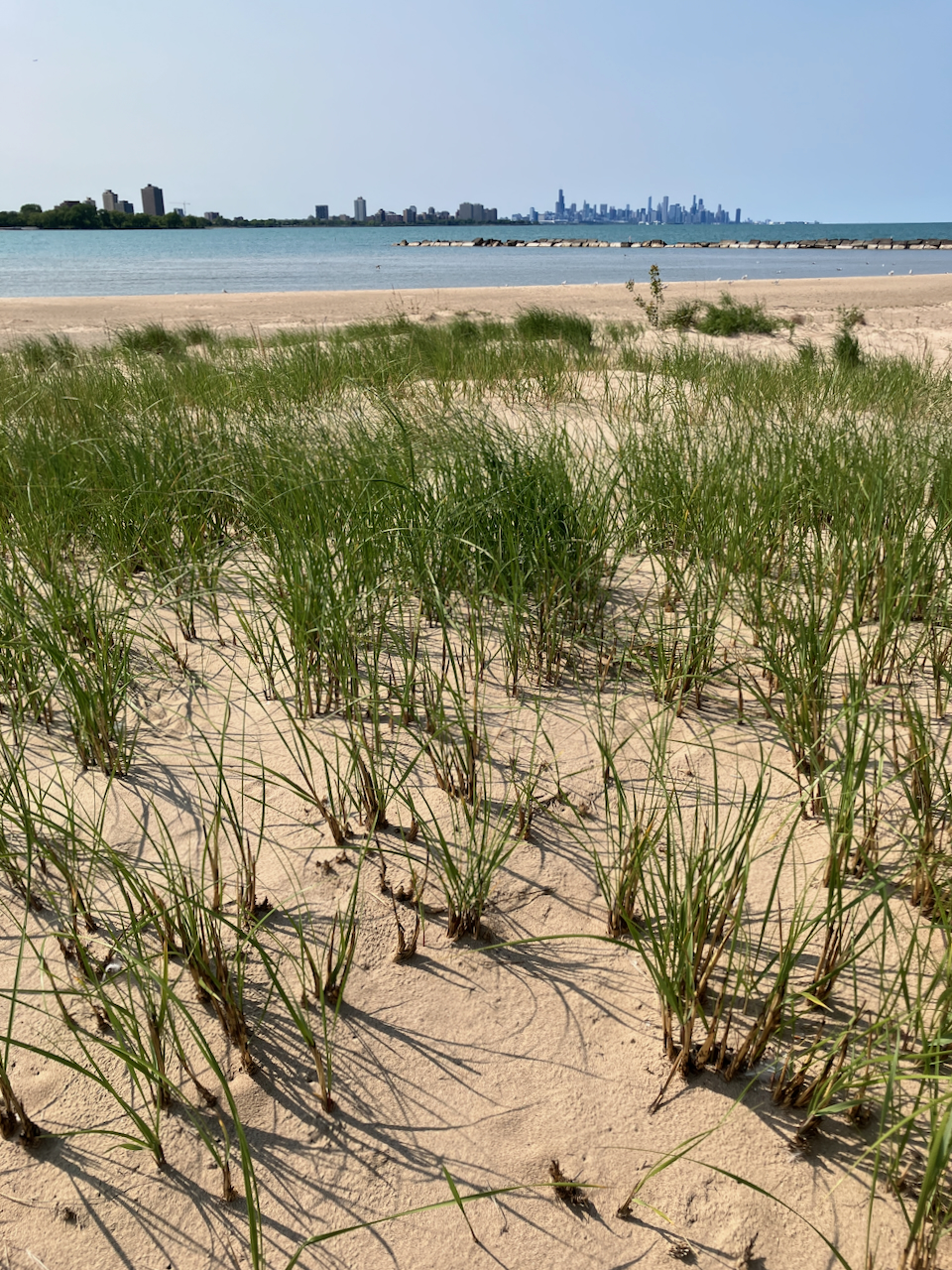
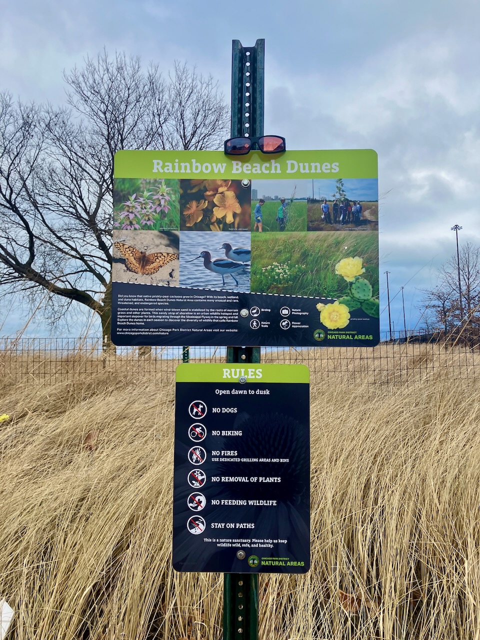
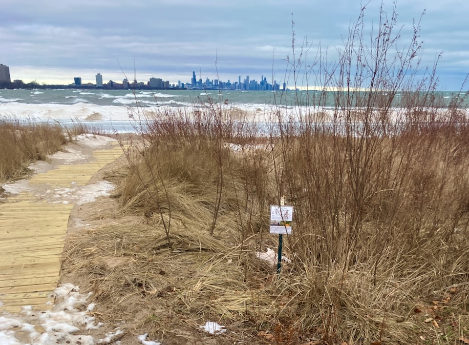
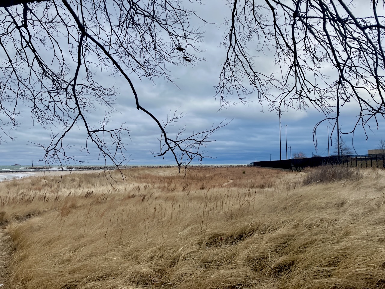
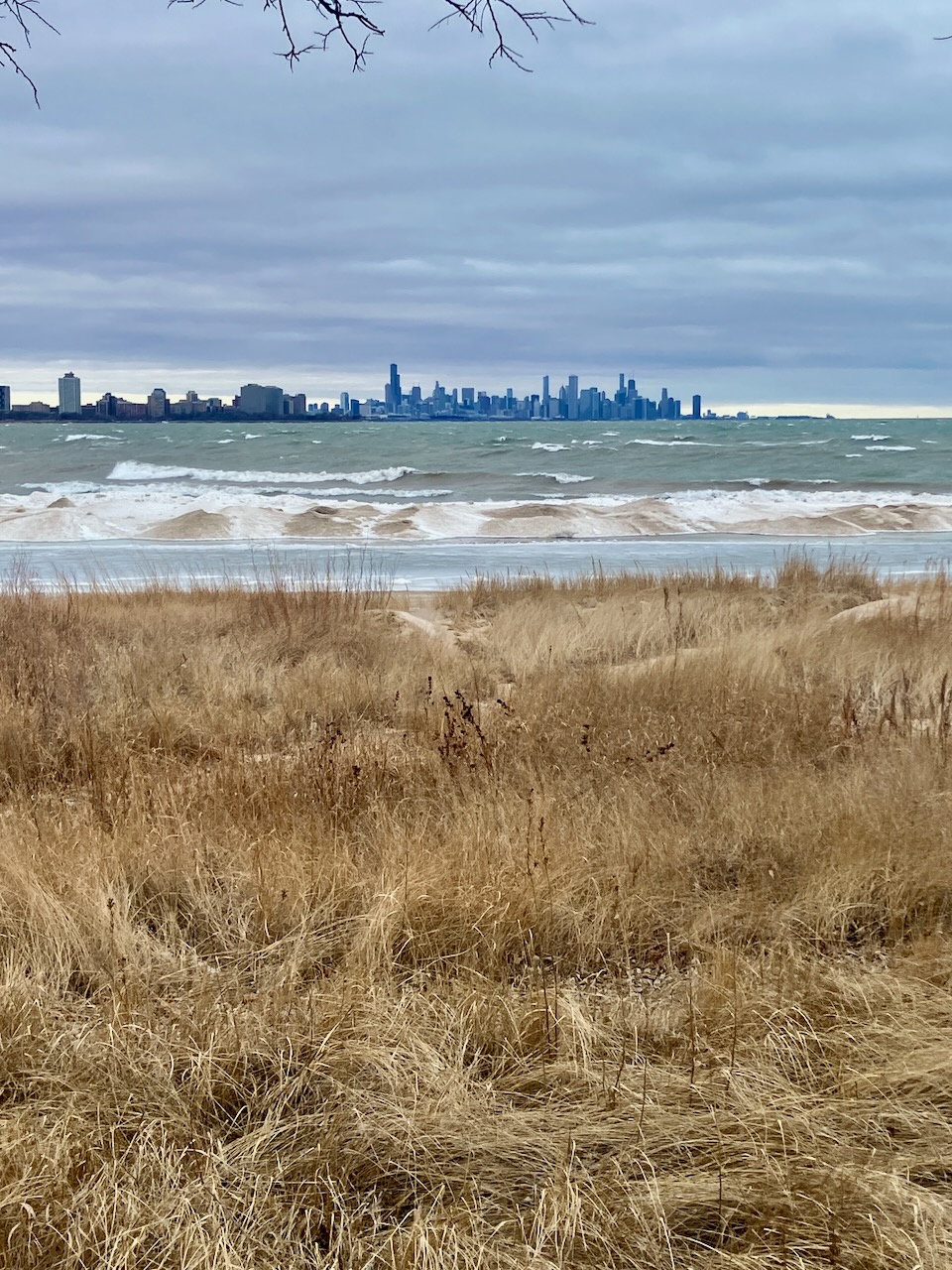
It’s never a bad time to visit Rainbow Beach Dunes!
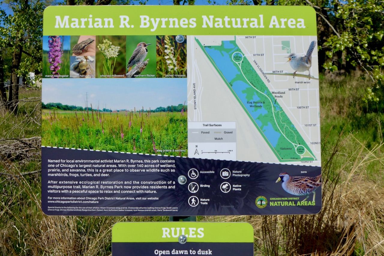
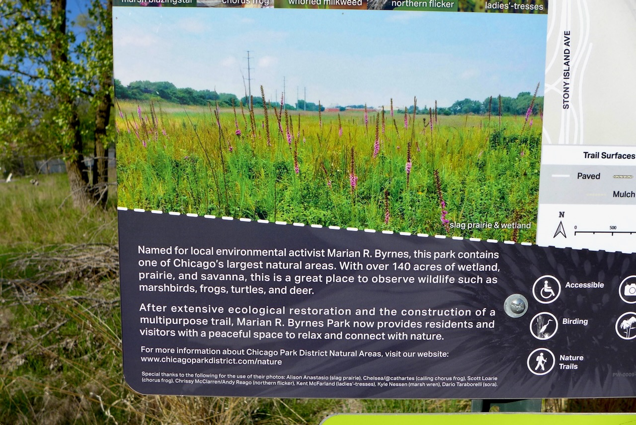
This place is a unique kind of urban infrastructure. Van Vlissingen Park has been owned by the Chicago Park District since 2011. When we first started visiting, it was an overgrown, impenetrable, Phragmites-filled mess, like many public lands around Chicago in the 80s through early 2000s.
And the “habitat restoration” isn’t back to some pre-colonial time; this is no remnant habitat here. It’s a spontaneous ecosystem that moved in on a bed of slag and construction waste and has been strengthened and structured by the Park District.
This is how urban restoration works.
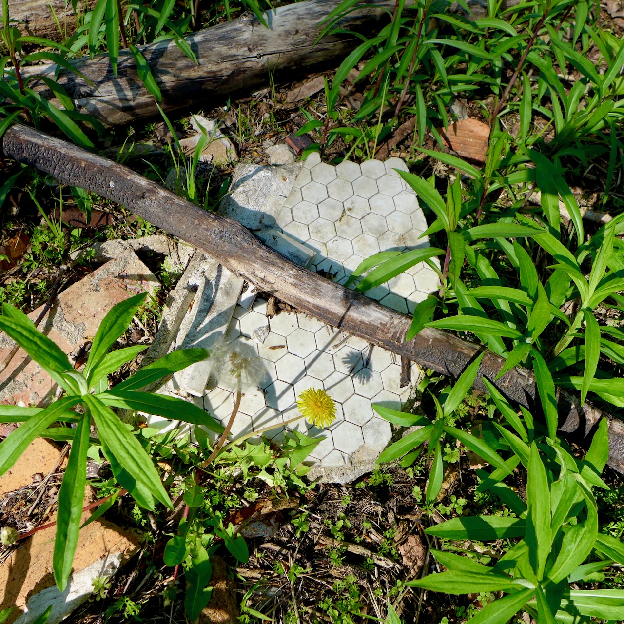
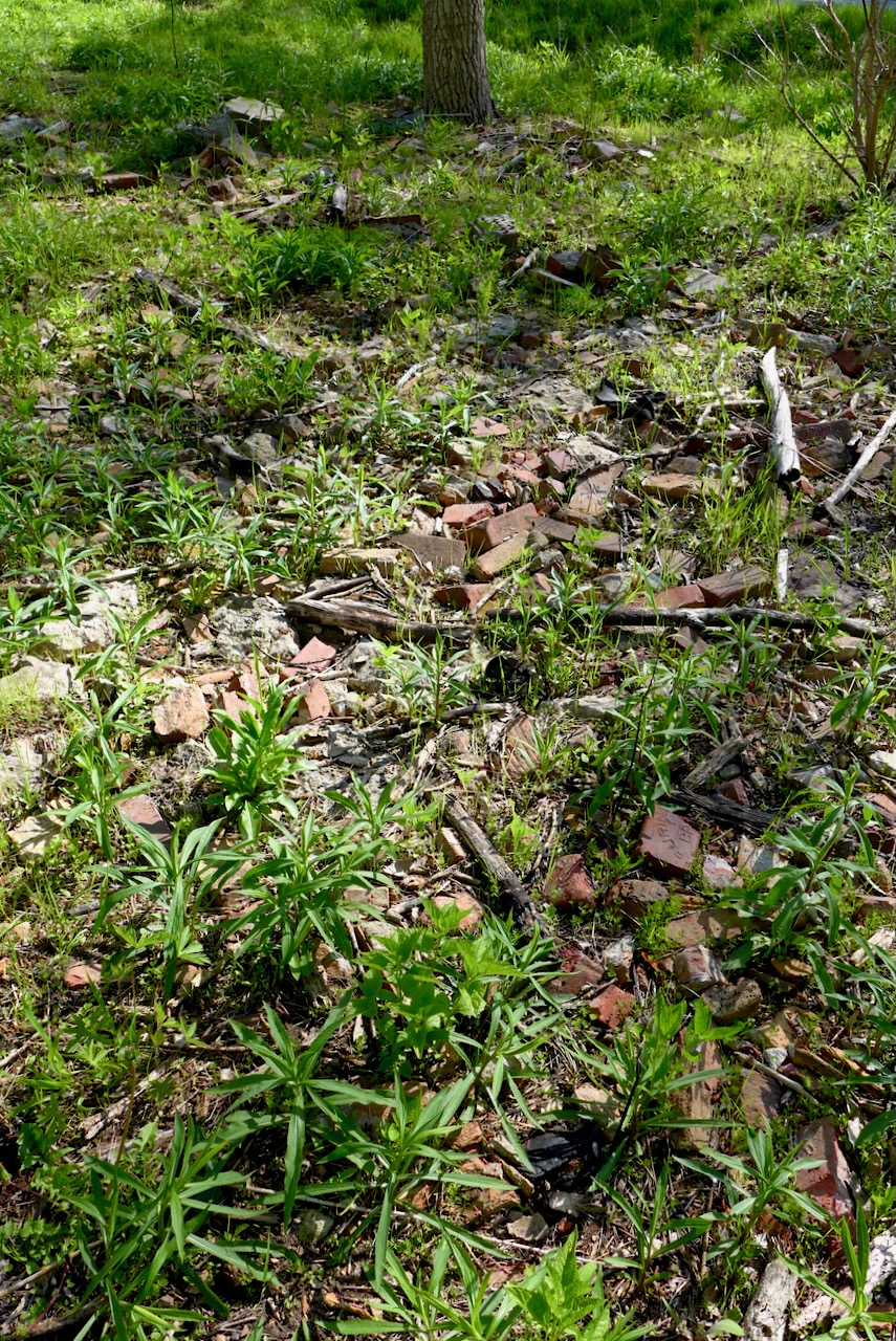
Some of the waste continues to erupt from layers of soil; bricks and building materials form vignettes highlighting the ever present human input into these urban ecosystems.
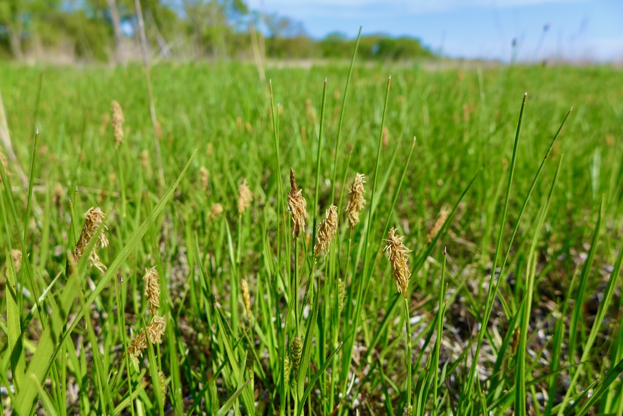
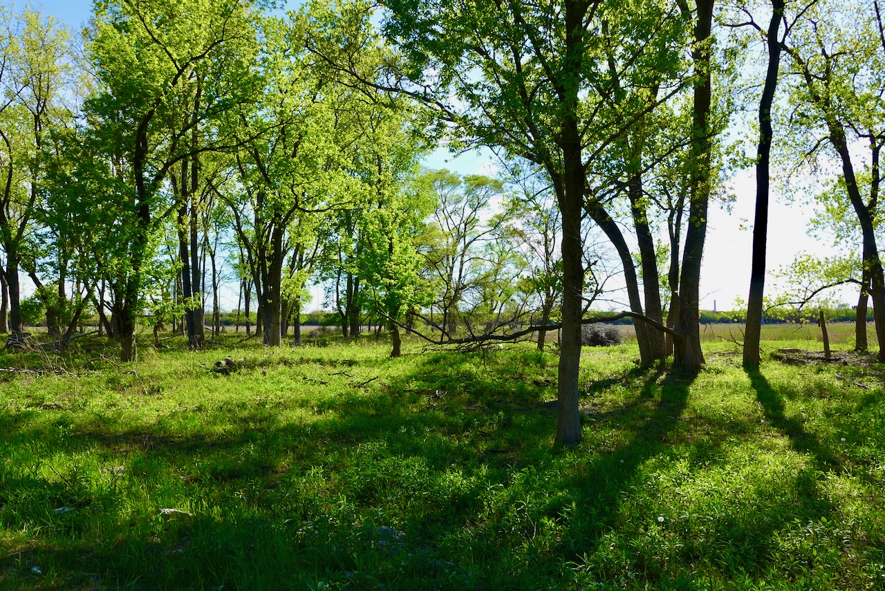
Now that it’s Marian R. Byrnes Natural Area, the beautiful slag barrens – prairie and wetland – are showcased with a boardwalk, alongside a luxurious woodland path through cottonwoods and young oaks, and an overlook at the far north side.
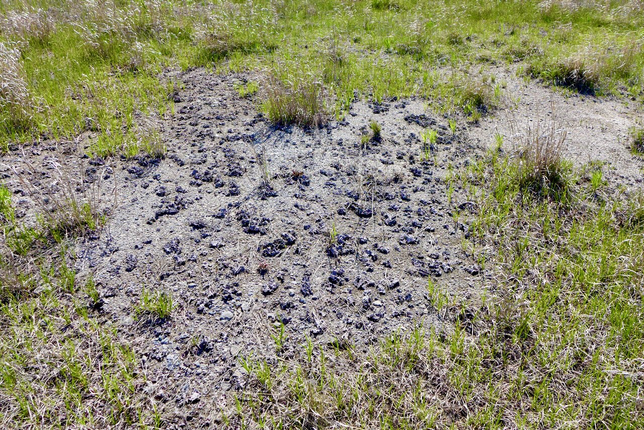
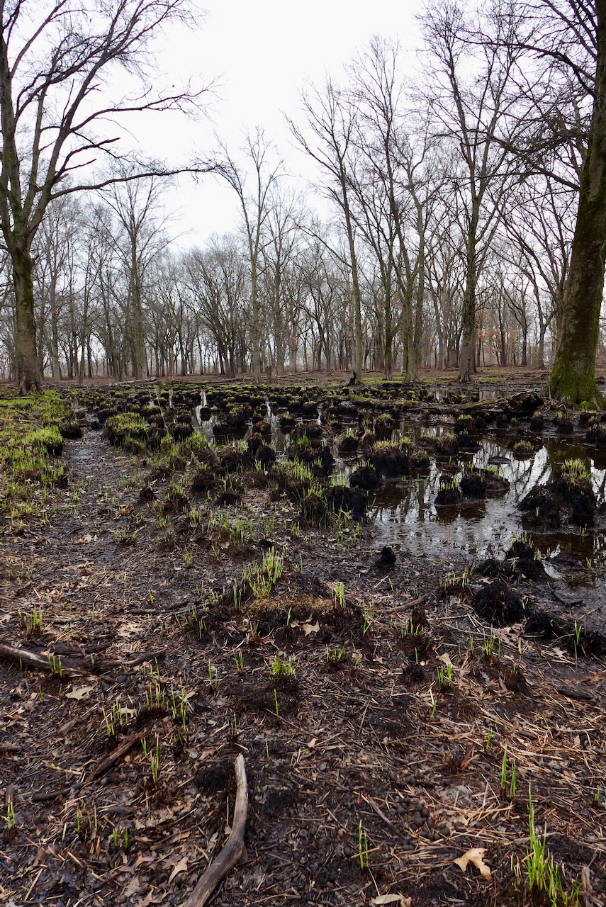
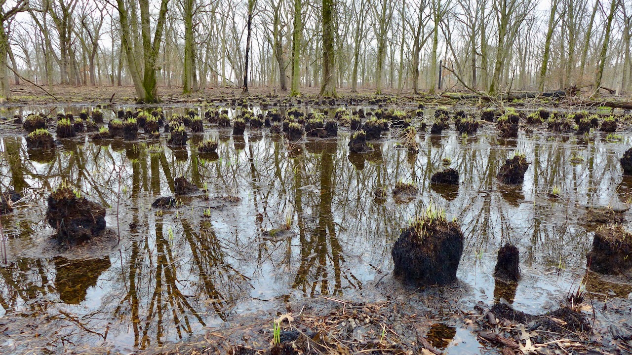
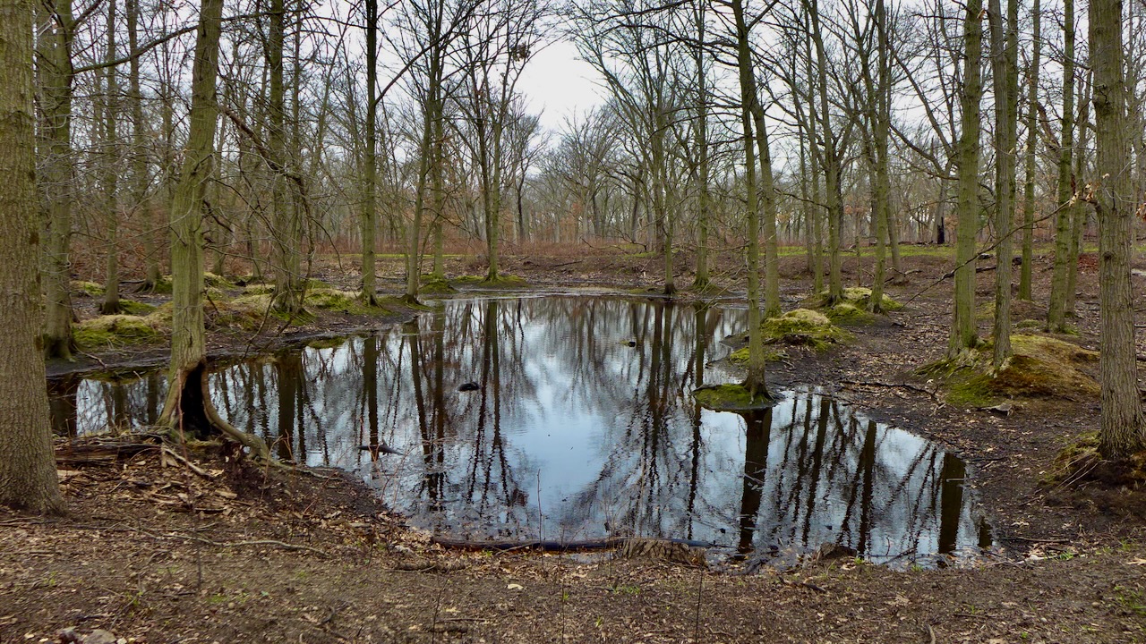
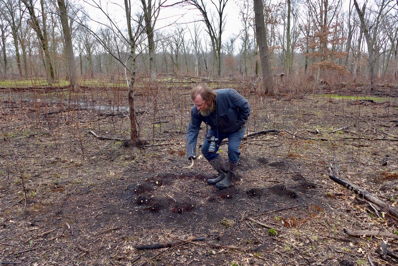
There was a burn here recently, like many other local haunts. Deep in the woods, near the fairy ponds, singed mounds of grass look like modern photosynthetic stromatolites (with plant, not cyanobacteria!). It was a good burn season, or so went the public lands stewardship chatter.
Powderhorn encompasses a vast tract of land, owned and managed by the Forest Preserve District of Cook County, on the far southeast side of Chicago. It’s a stocked lake with fishers all year round, an award-winning remnant dune and swale habitat,
a to-be-acquired industrial lot with rail tankers, a railroad track lined with Phragmites, and disused land in a residential district made into an urban sponge that captures rainwater and drains it in to the lake. Altogether, it makes a really nice urban greenspace

that works with the land and hydrology and habitats, and enhances what they already are (minus some invasive species and plus some light mowing). Check out this terrific Storymap about the most recent restoration project!
…

…
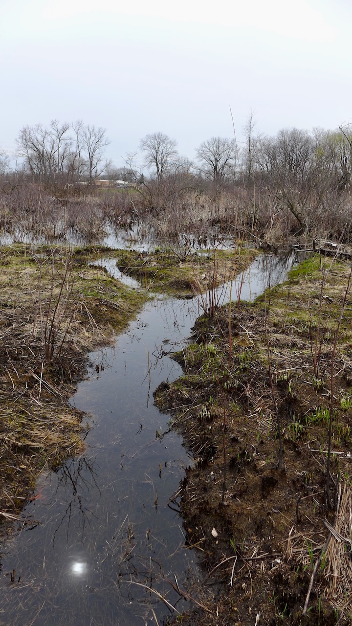
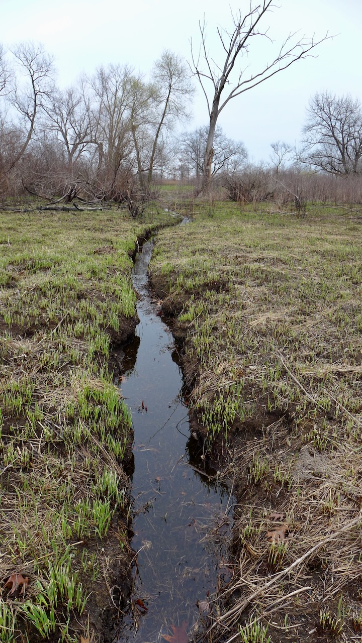
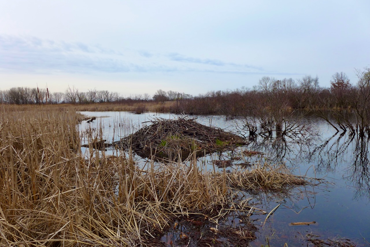
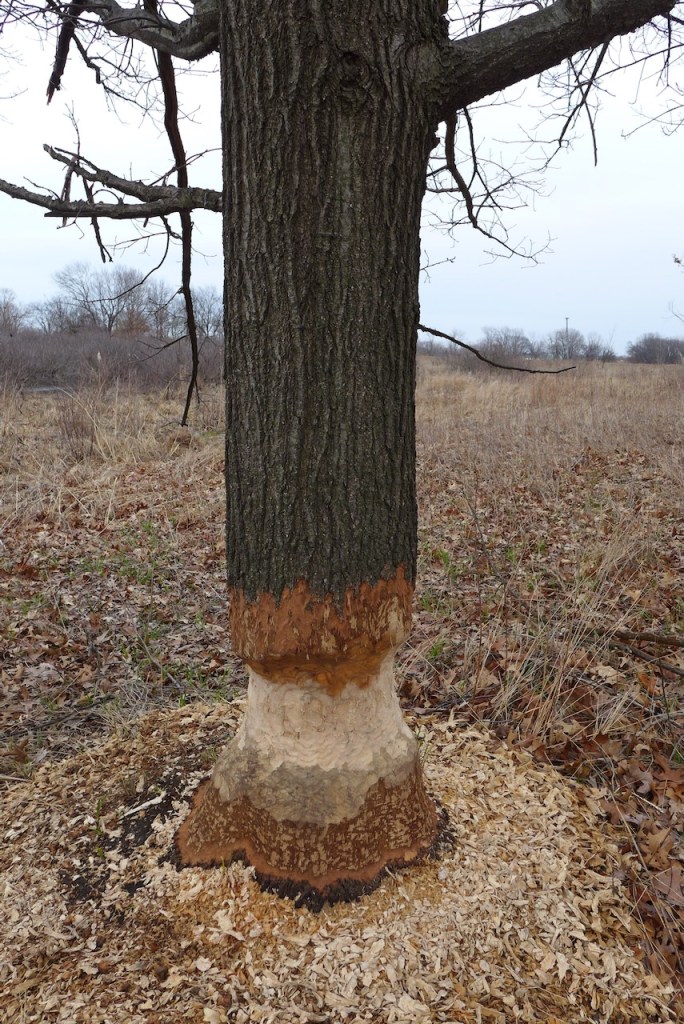
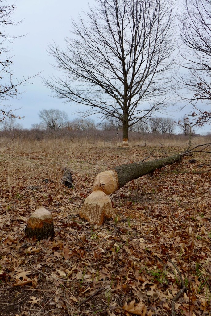
We saw lots of evidence of beavers!
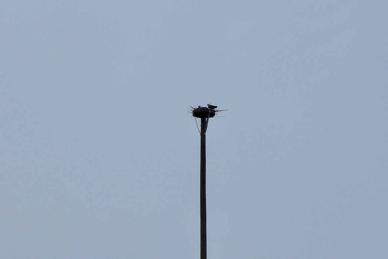
and other wildlife — like this osprey on a nest on a human-constructed osprey tower!
A quick drive by a few of our favorite spots, on a sunny and extremely brisk morning, starting at RBD.
driving south, on our way past the fishers…
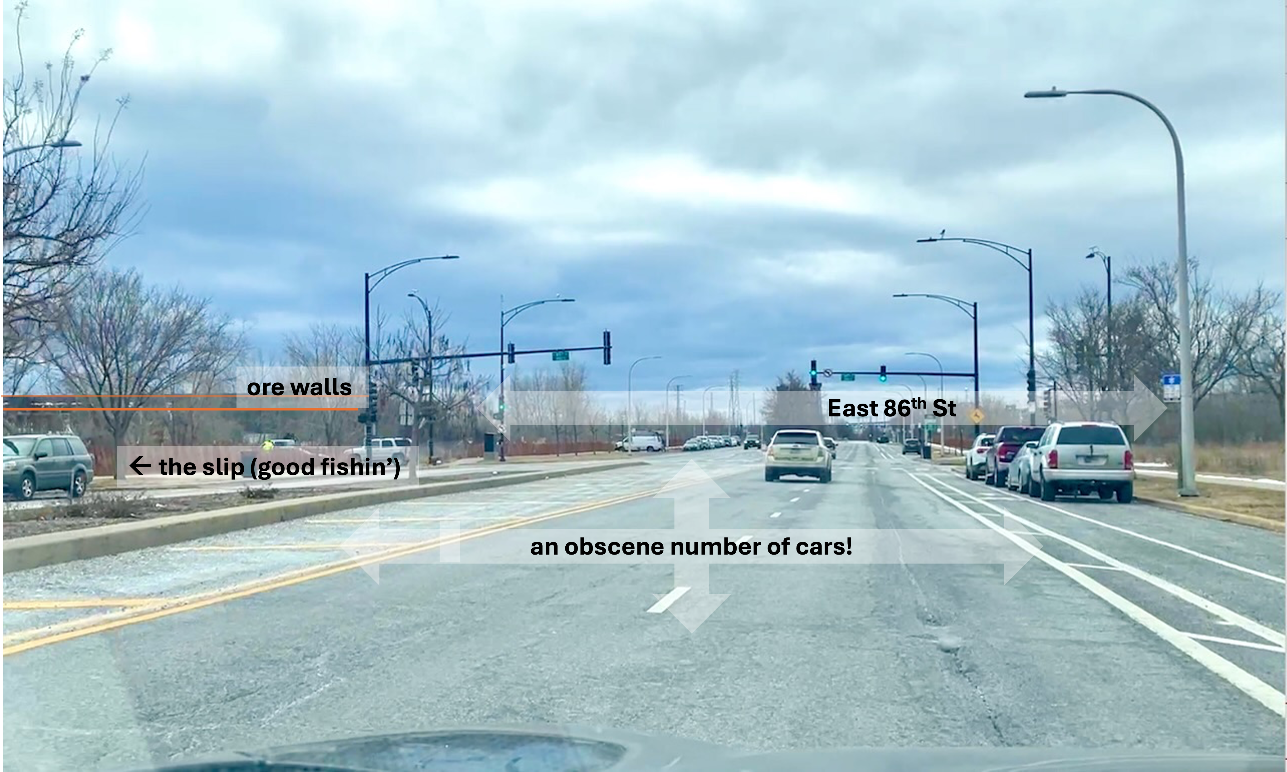
…to get some fish the easy way, at Calumet Fisheries!
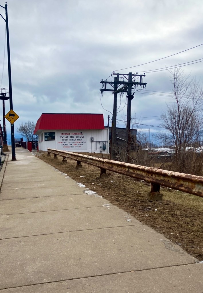
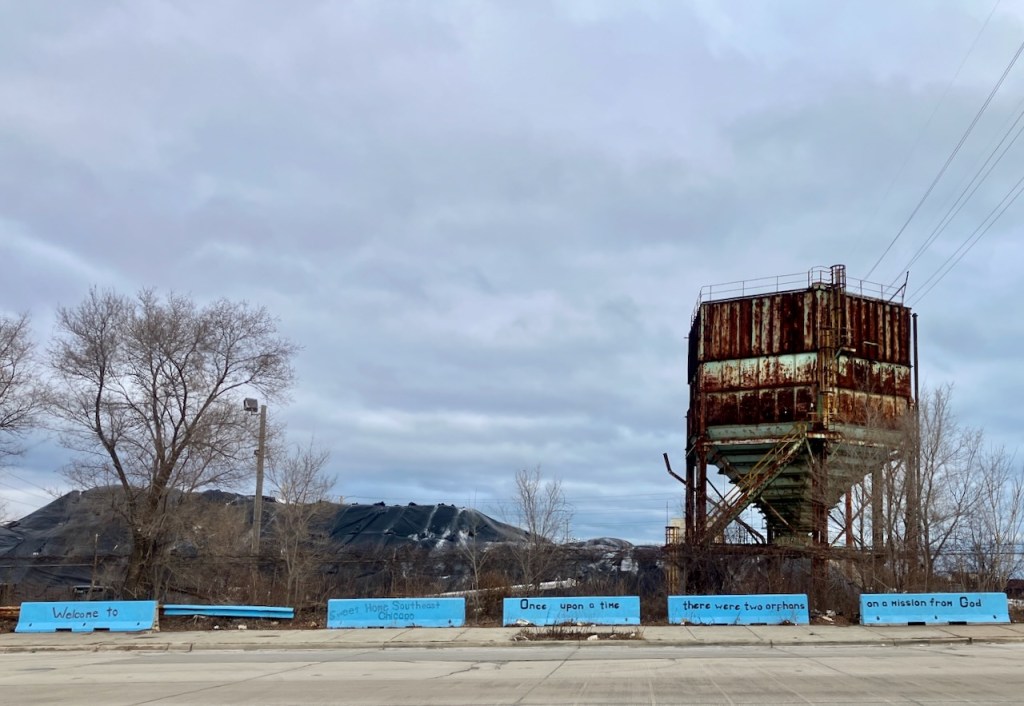
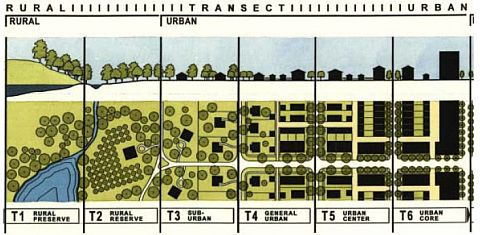

_Figure_2.jpg)