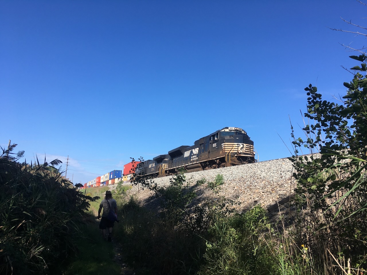
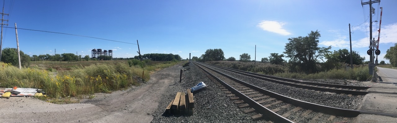
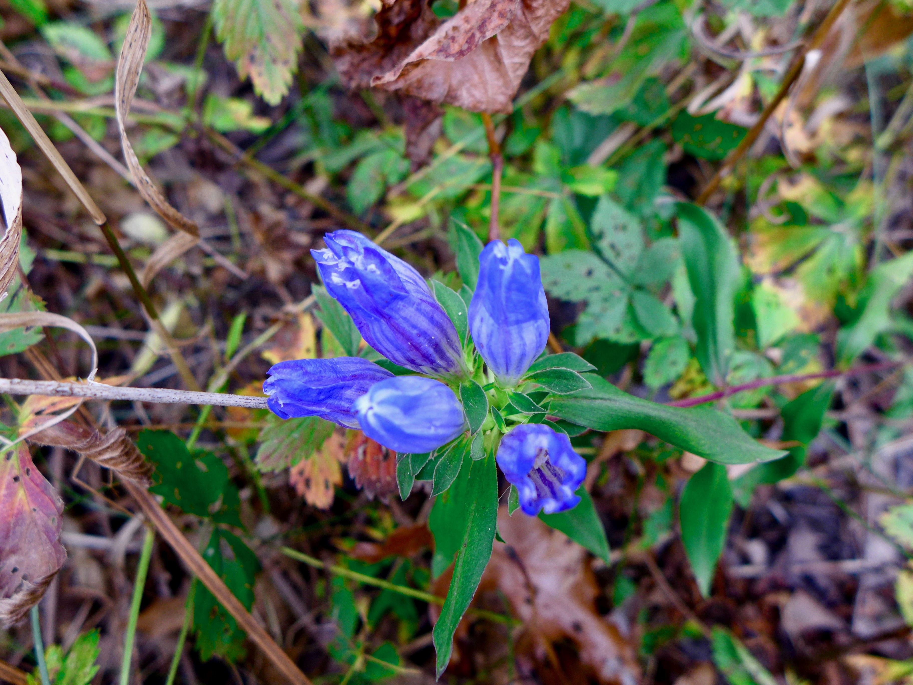
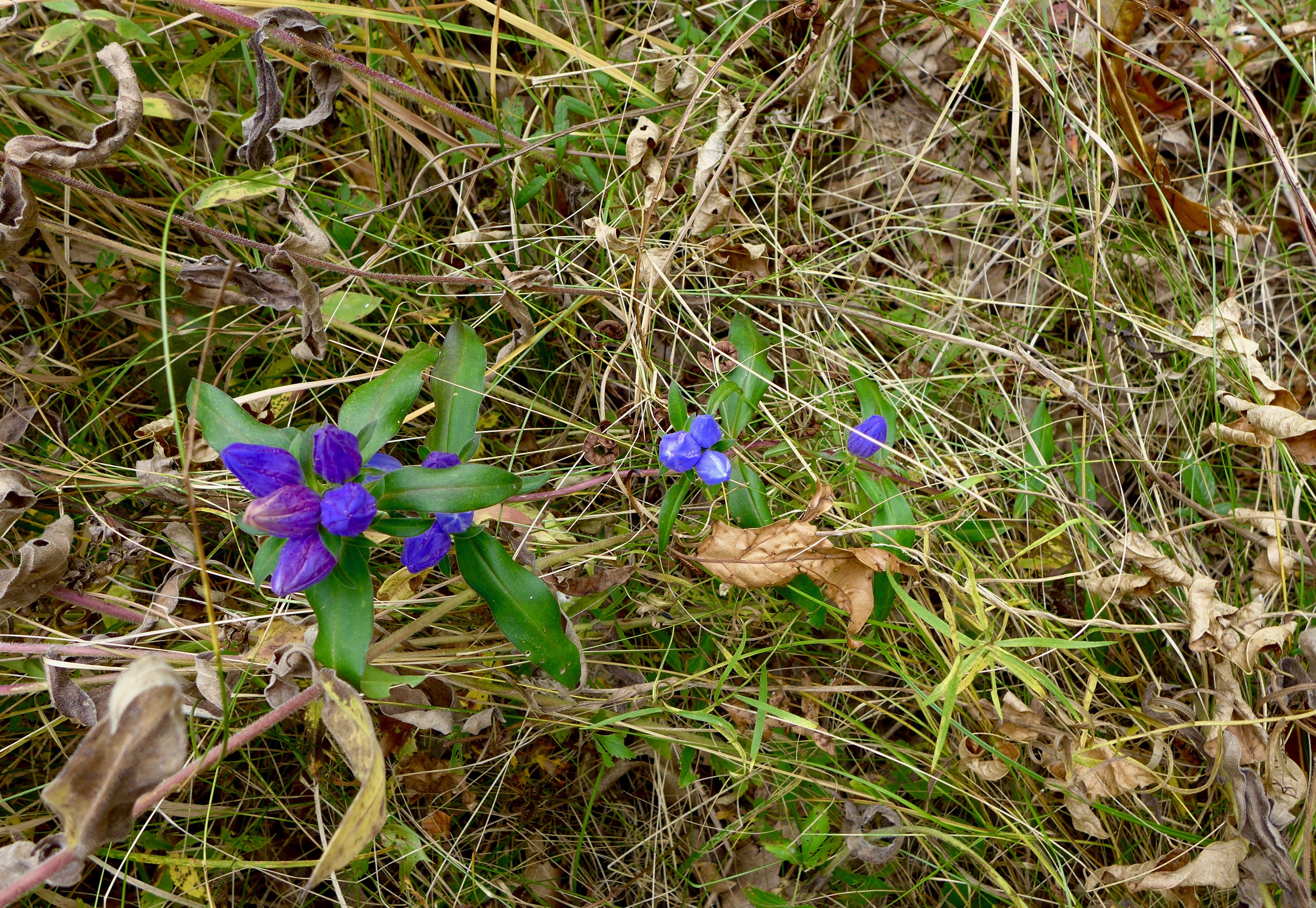
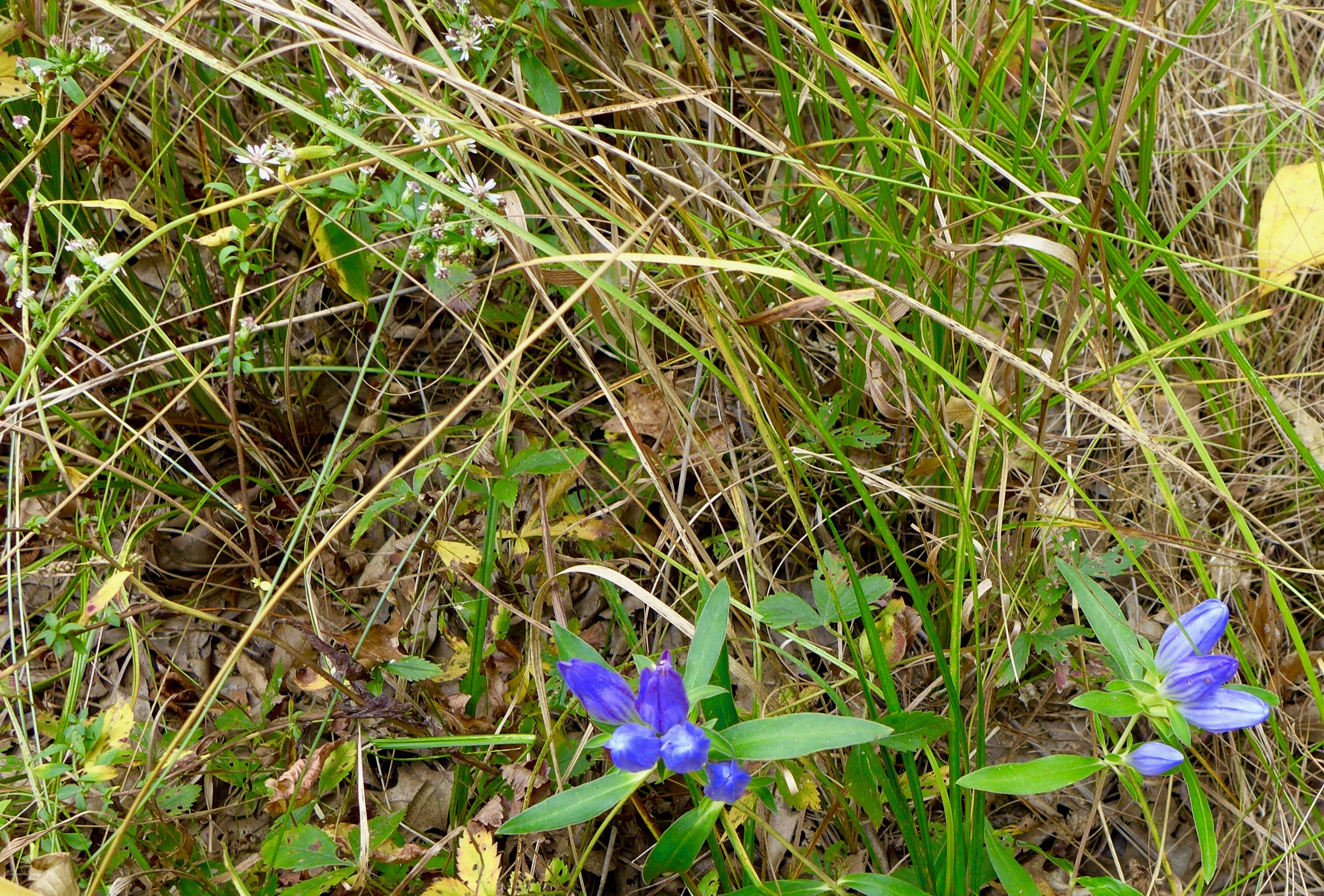
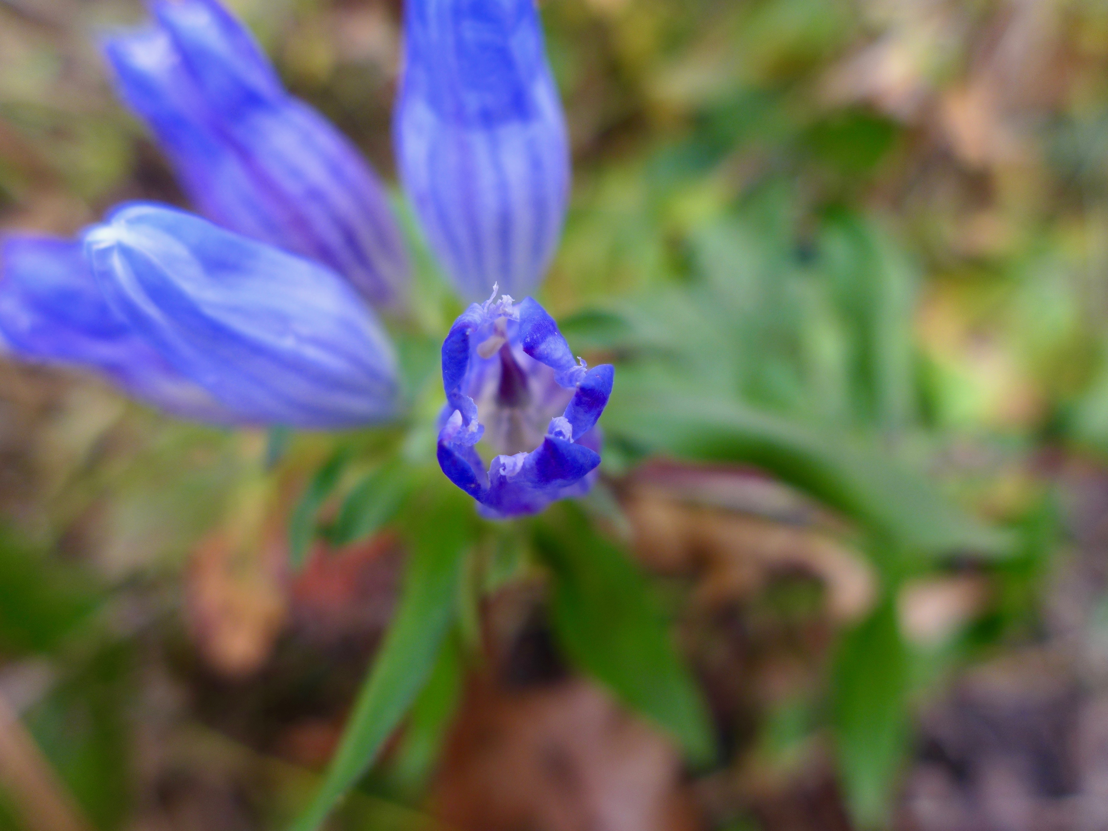
I parked across the railroad tracks and walked in near the hay bales. I audibly squealed when I saw the first orchid! Check out the video below where I get very excited and wax romantic about this little mesic slag landscape.
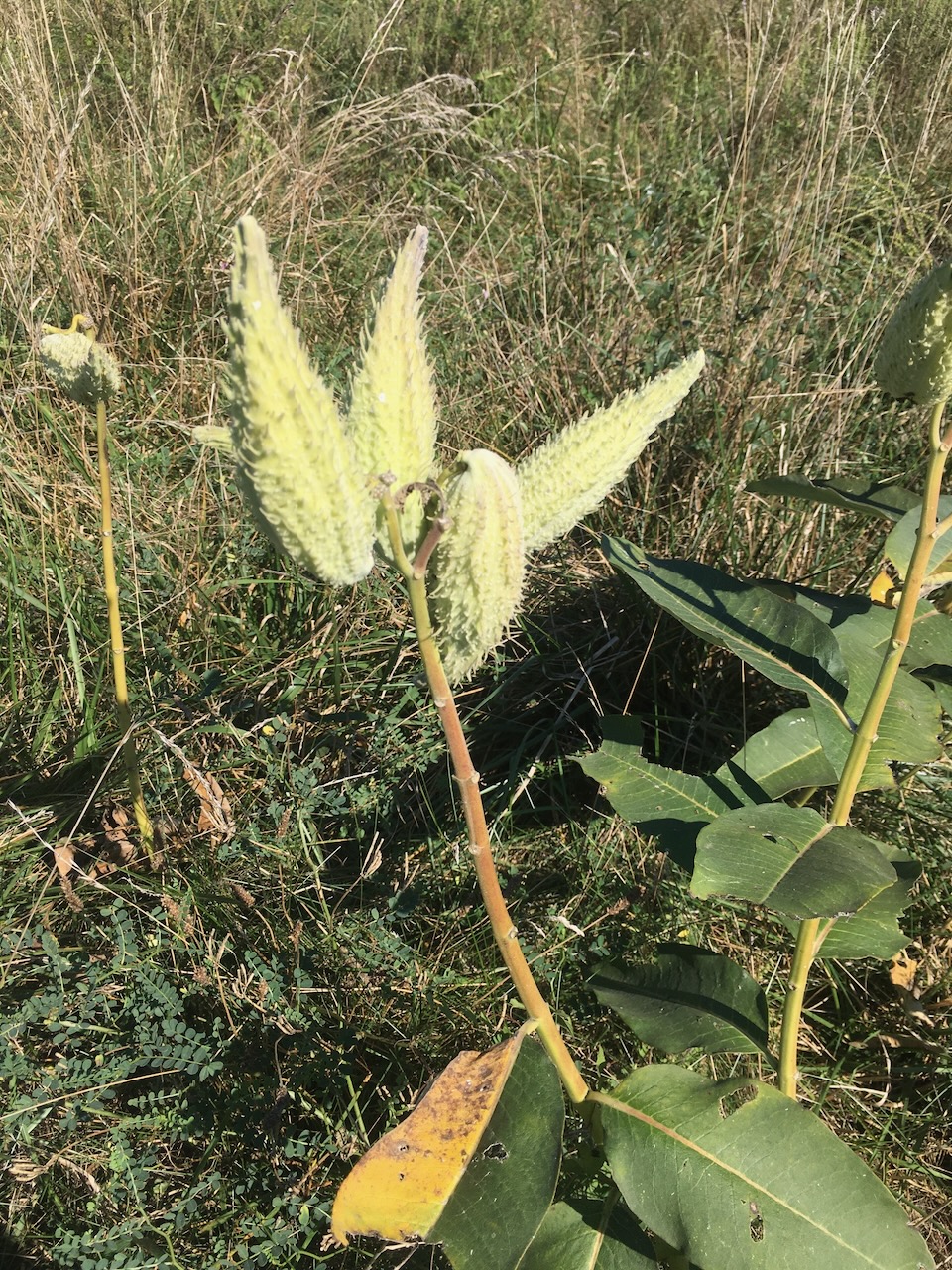
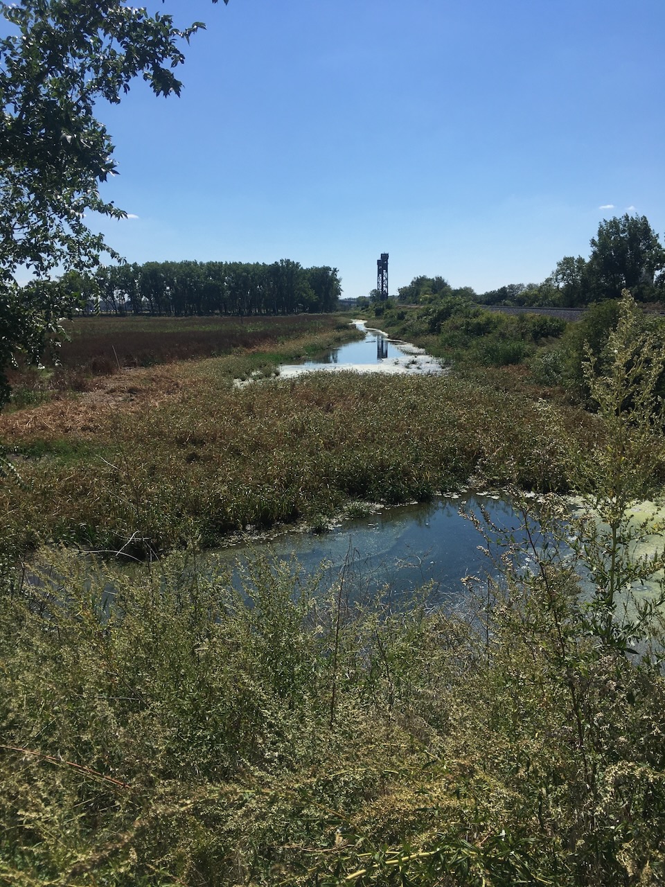
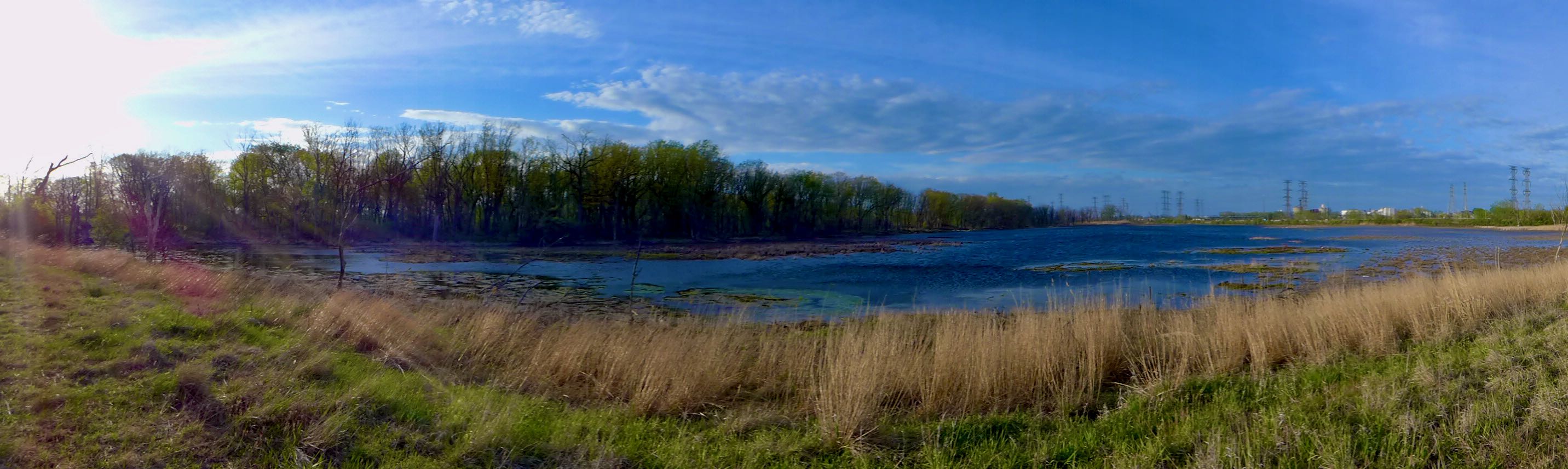
Old maps call this spot Gun Club Ponds, and it doesn’t take long, after walking the narrow strip between the railroad embankment and wall of Phragmites, that the gun club comes into focus.
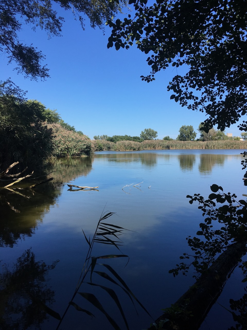
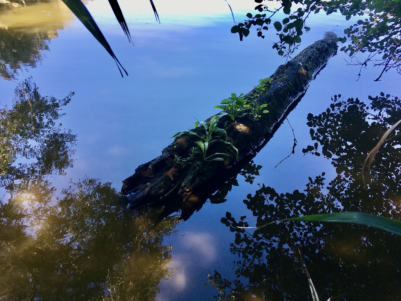
A good place to look for waterfowl.
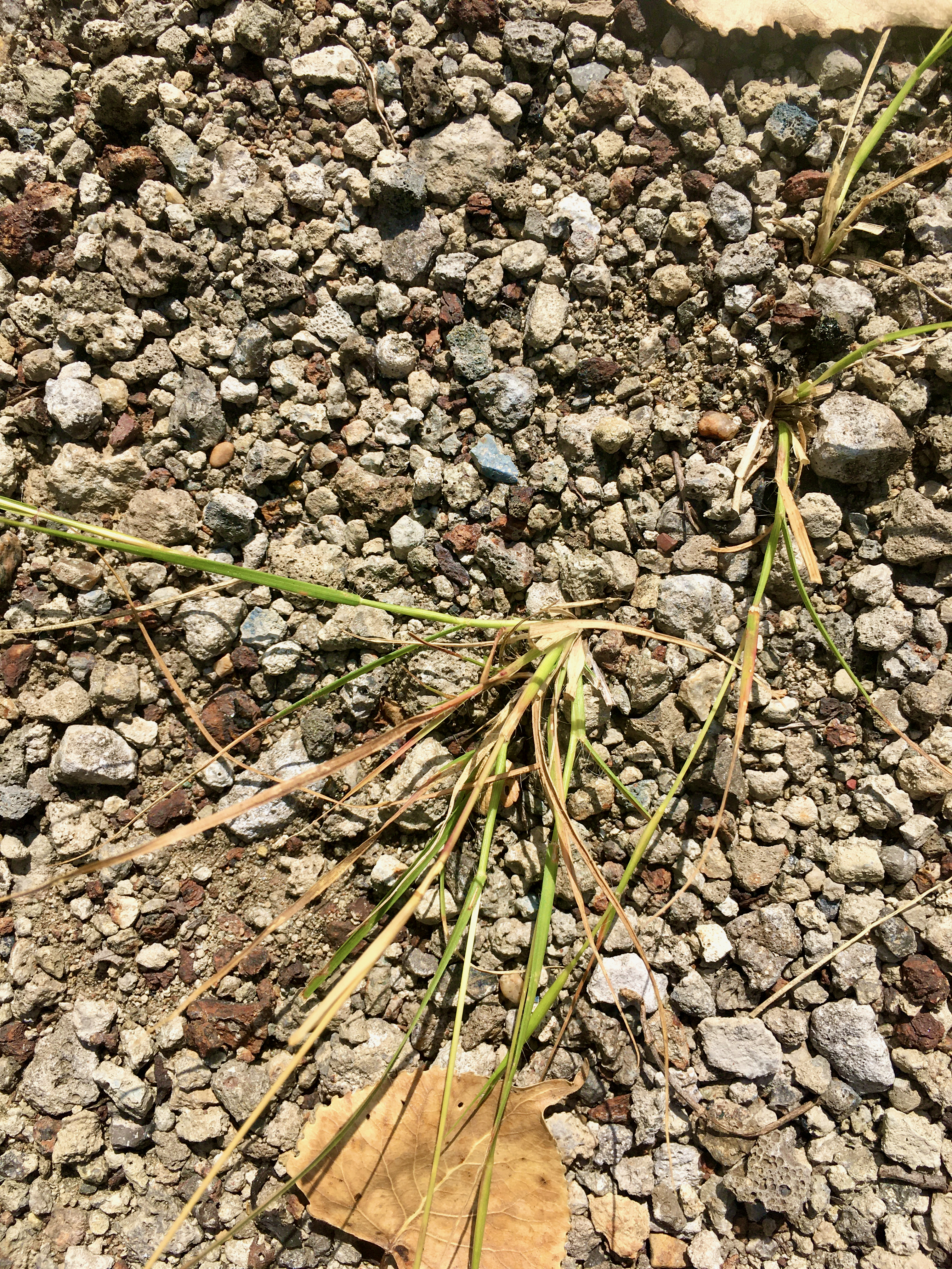
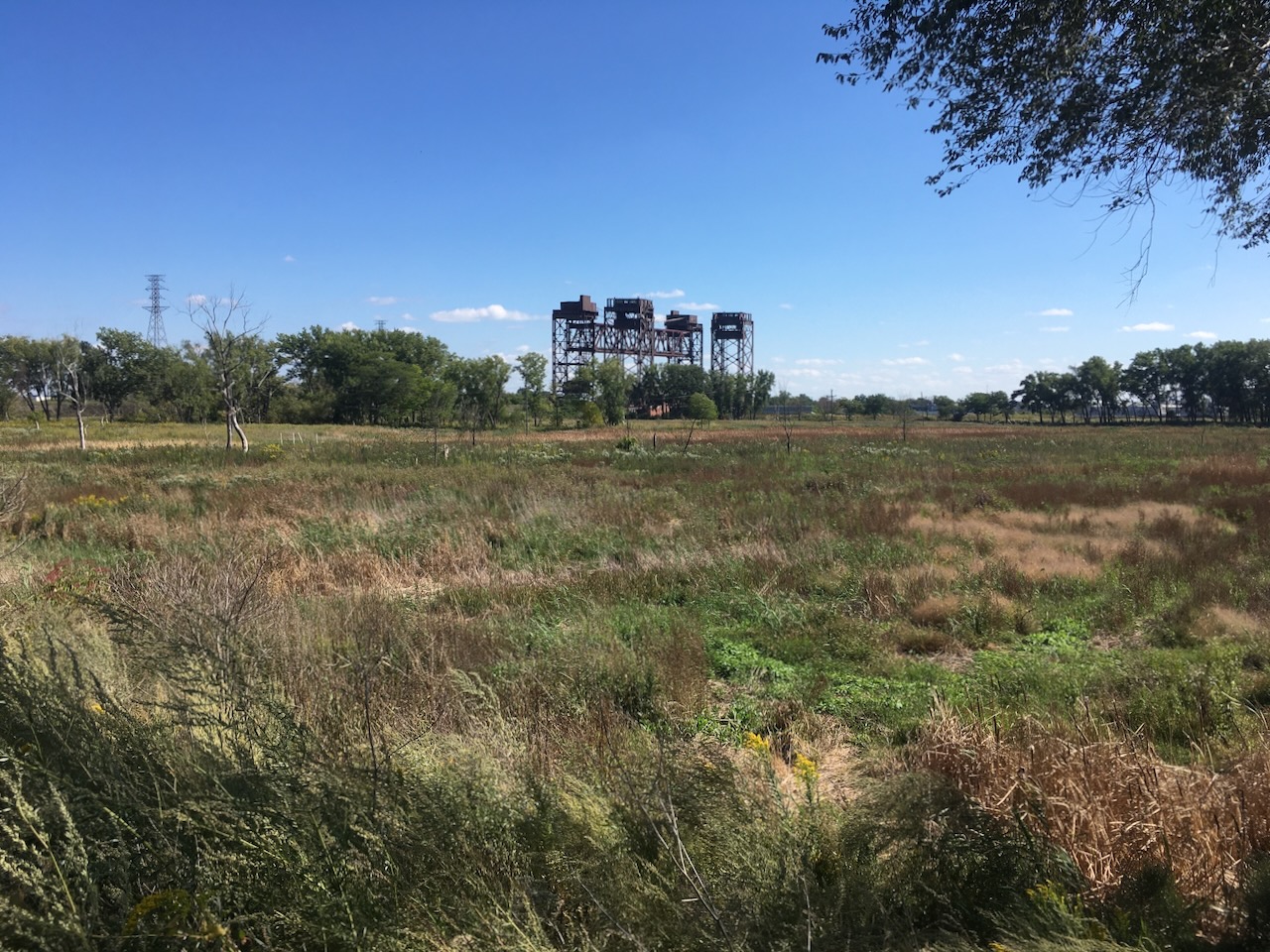
there’s slag here too!
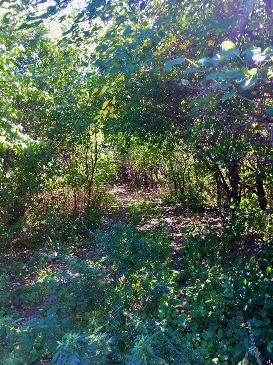
a tunnel of european buckthorn leads us to the ponds.
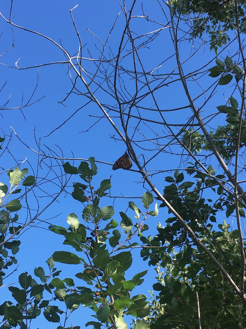
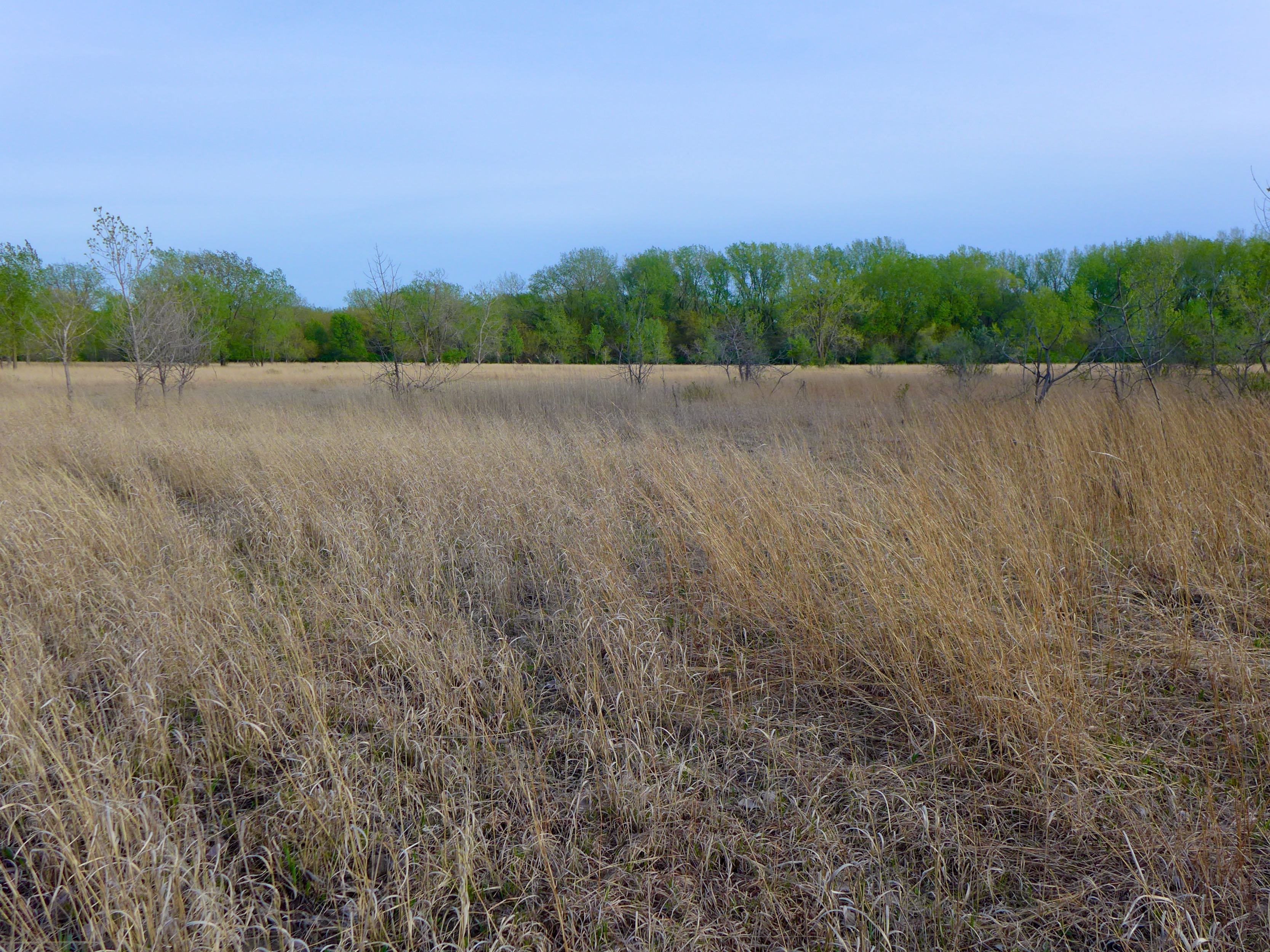
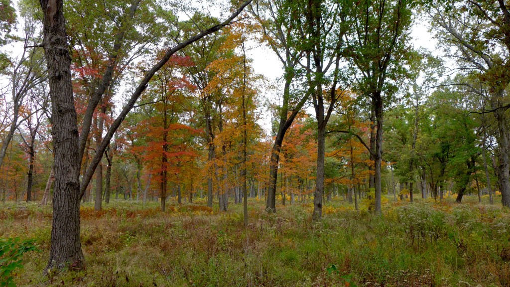
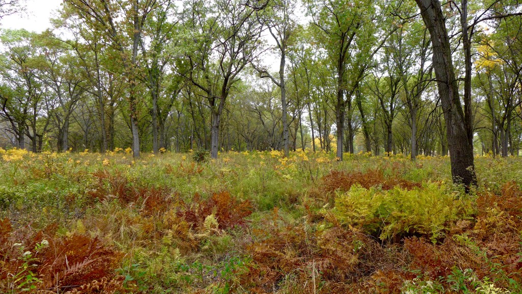
it’s big leaf season as we head back over the tracks to the Indian Ridge Marsh parking lot.
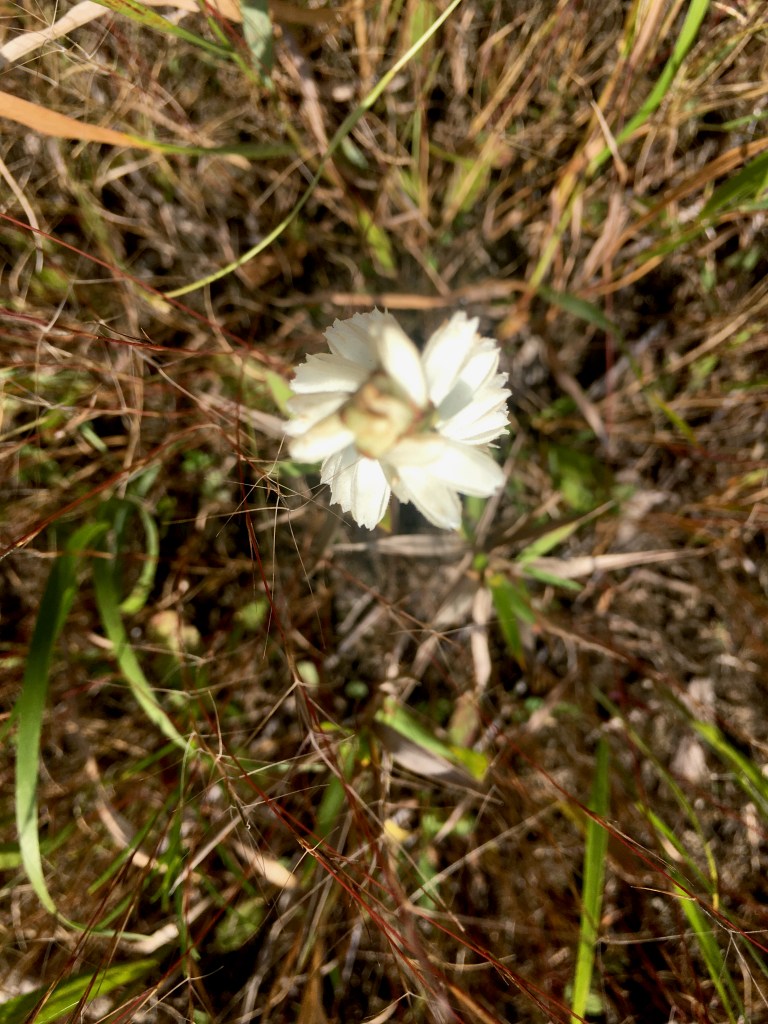
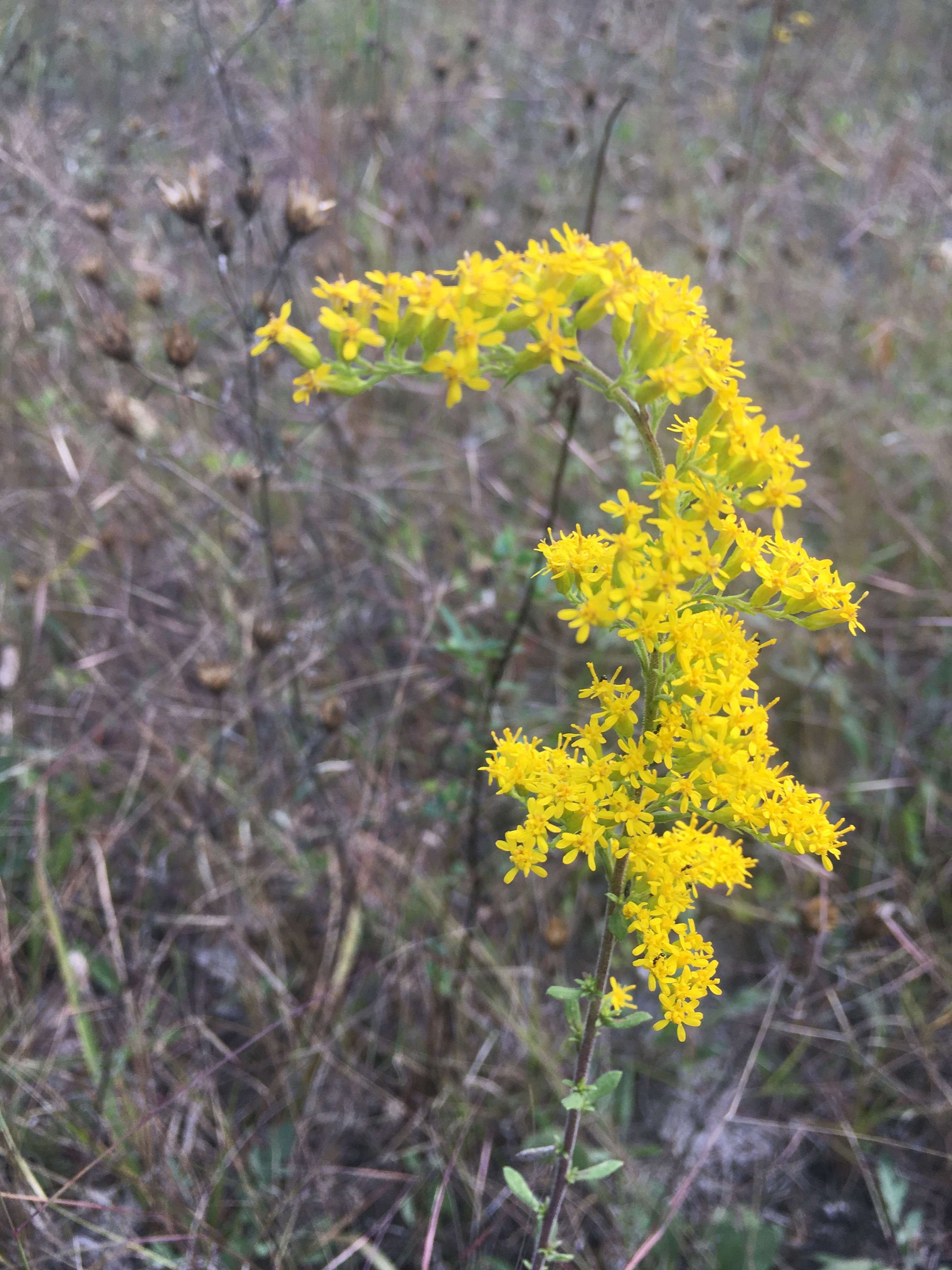
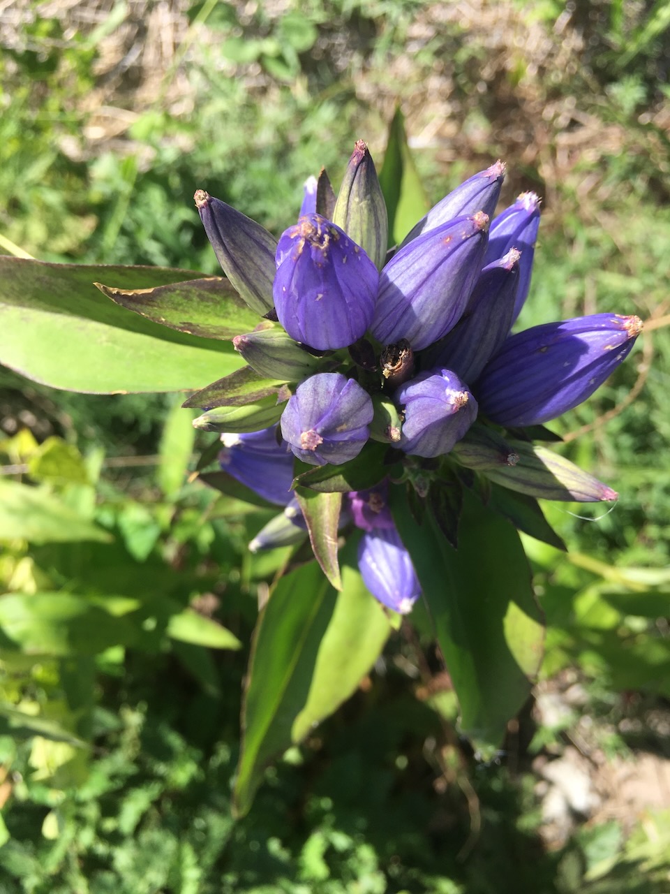
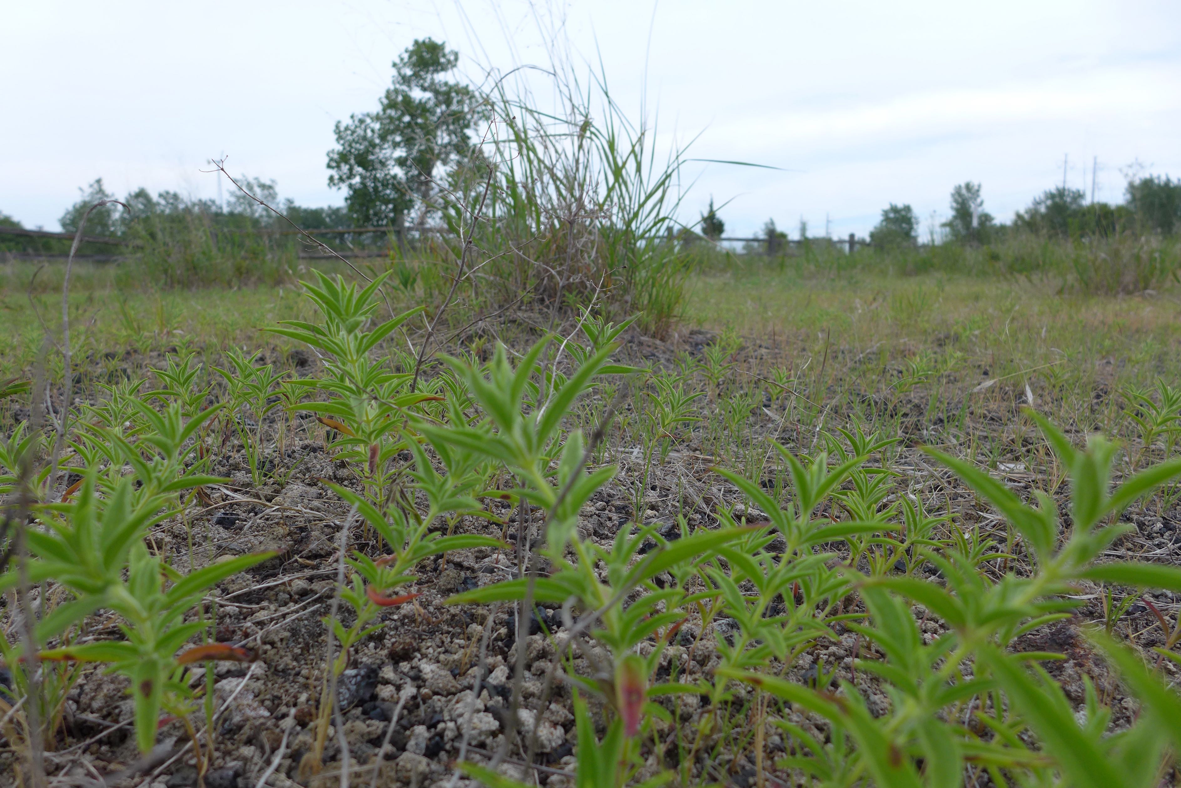
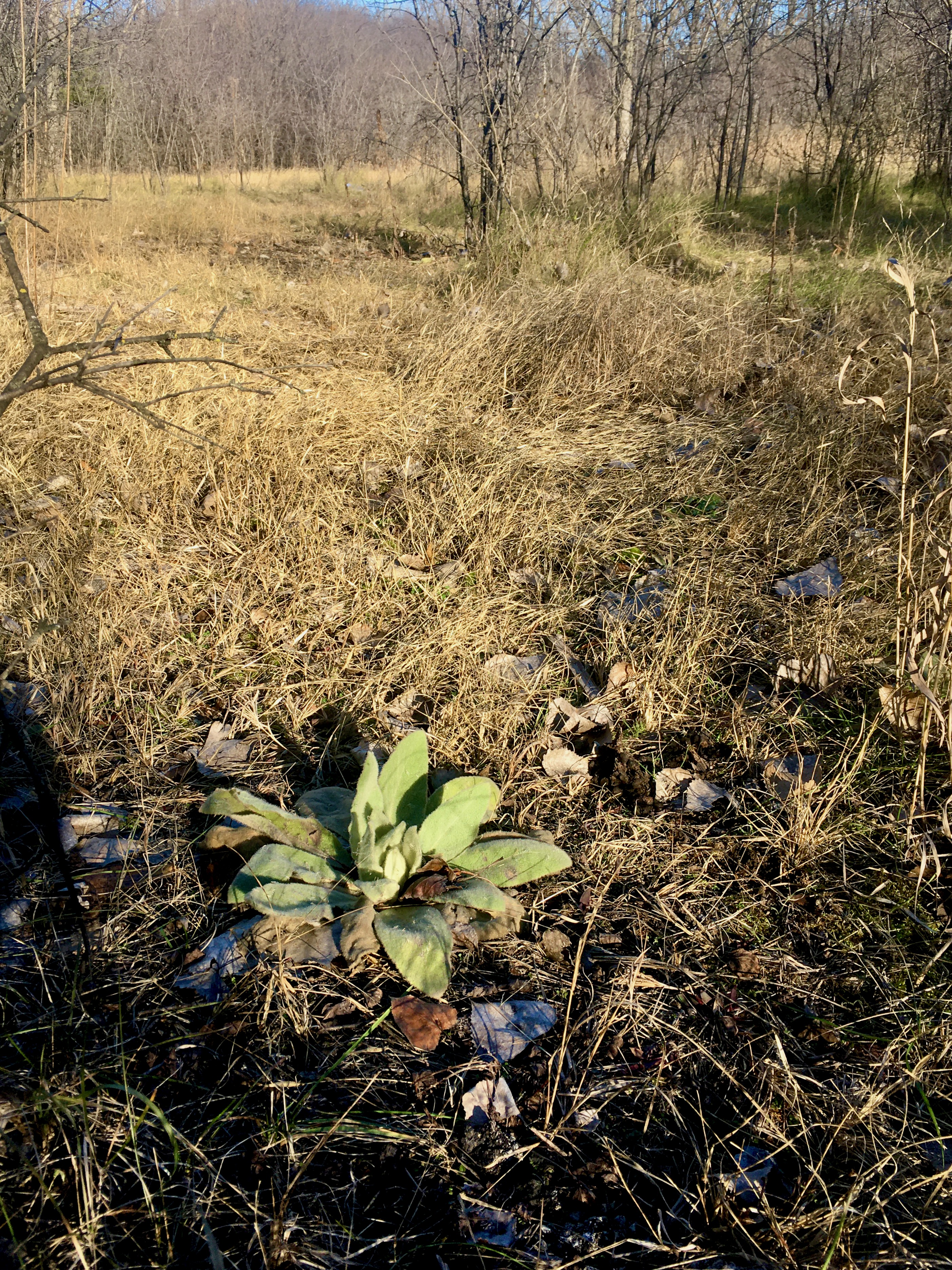
In the great slag reconnaissance of 2022, we finally visited a whole host of sites from the slag map for use in botanical surveys next year. This looks like a spot that has the usual suspects, and some new friends, like the woolly plantain (Plantago patagonica) – a species I haven’t noticed on slag before!
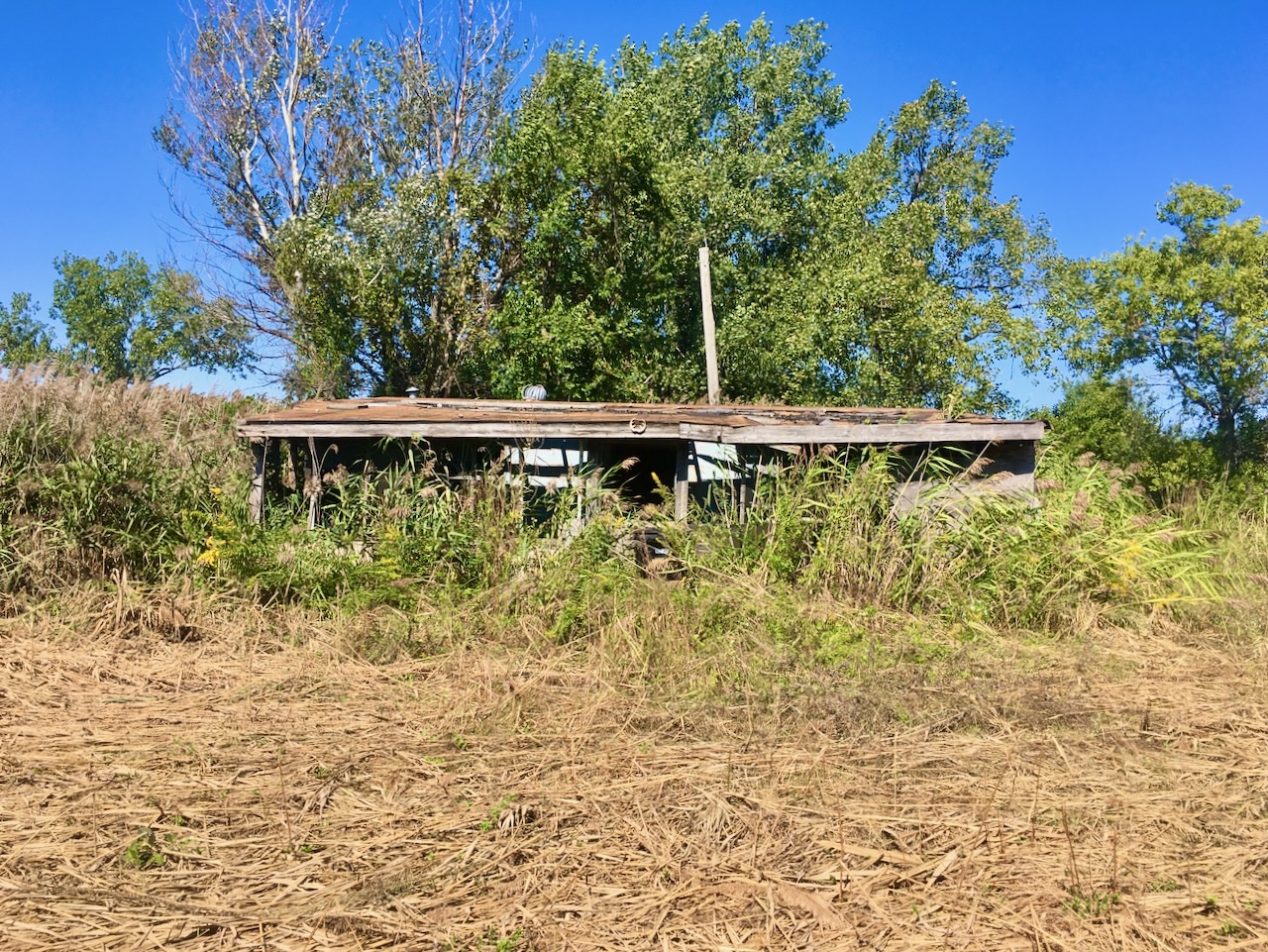
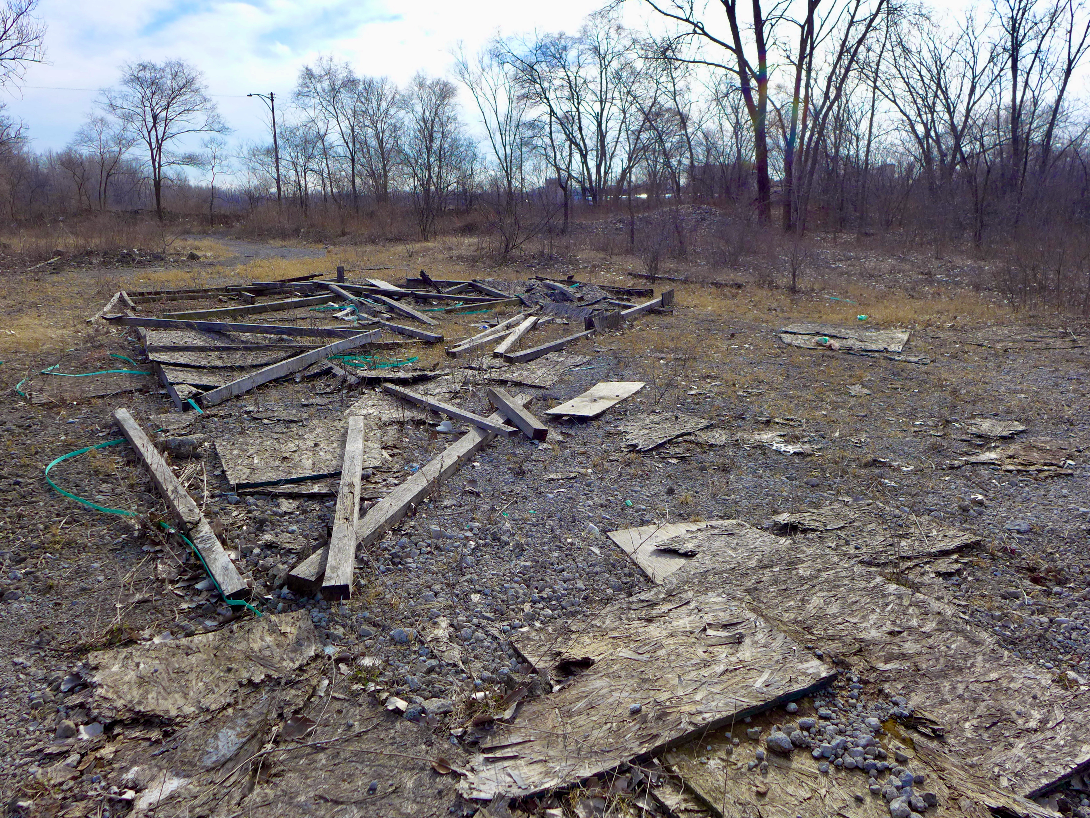
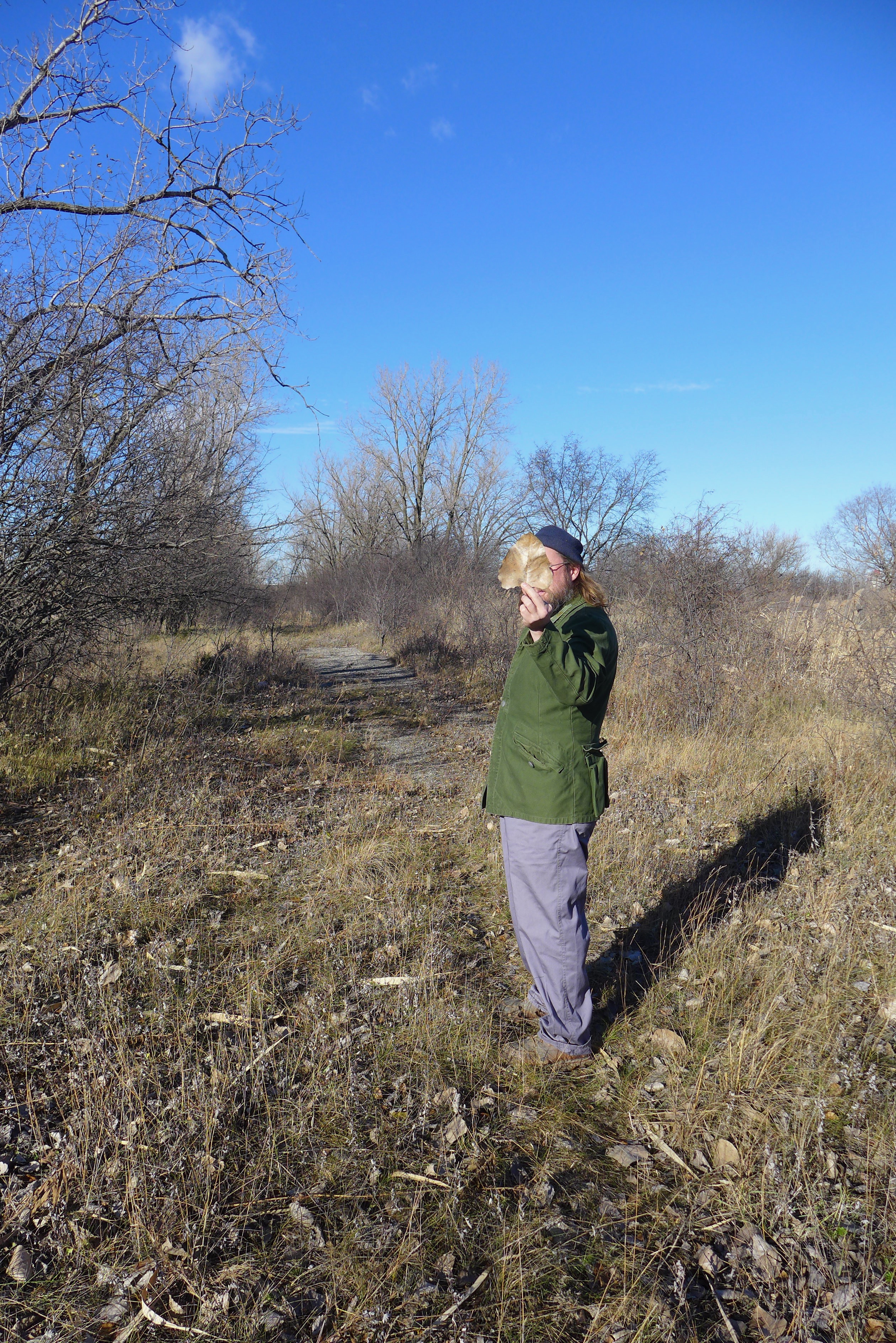
I’ve been eyeing this site for a few years, never confident to visit it the first time alone. Who knew what was behind the overgrown tree-line at the edge of the lot?
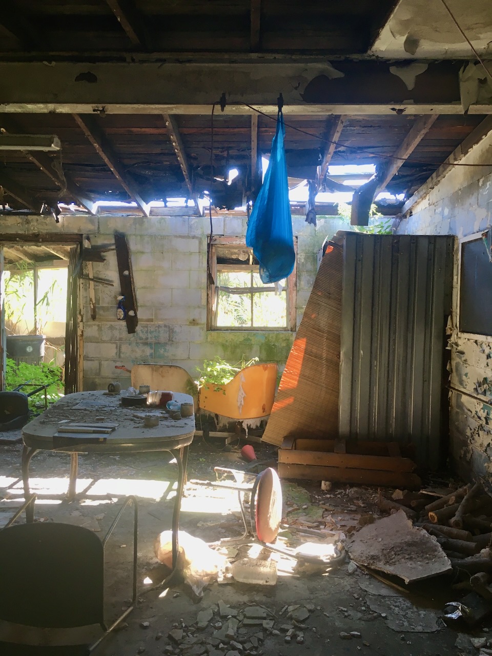
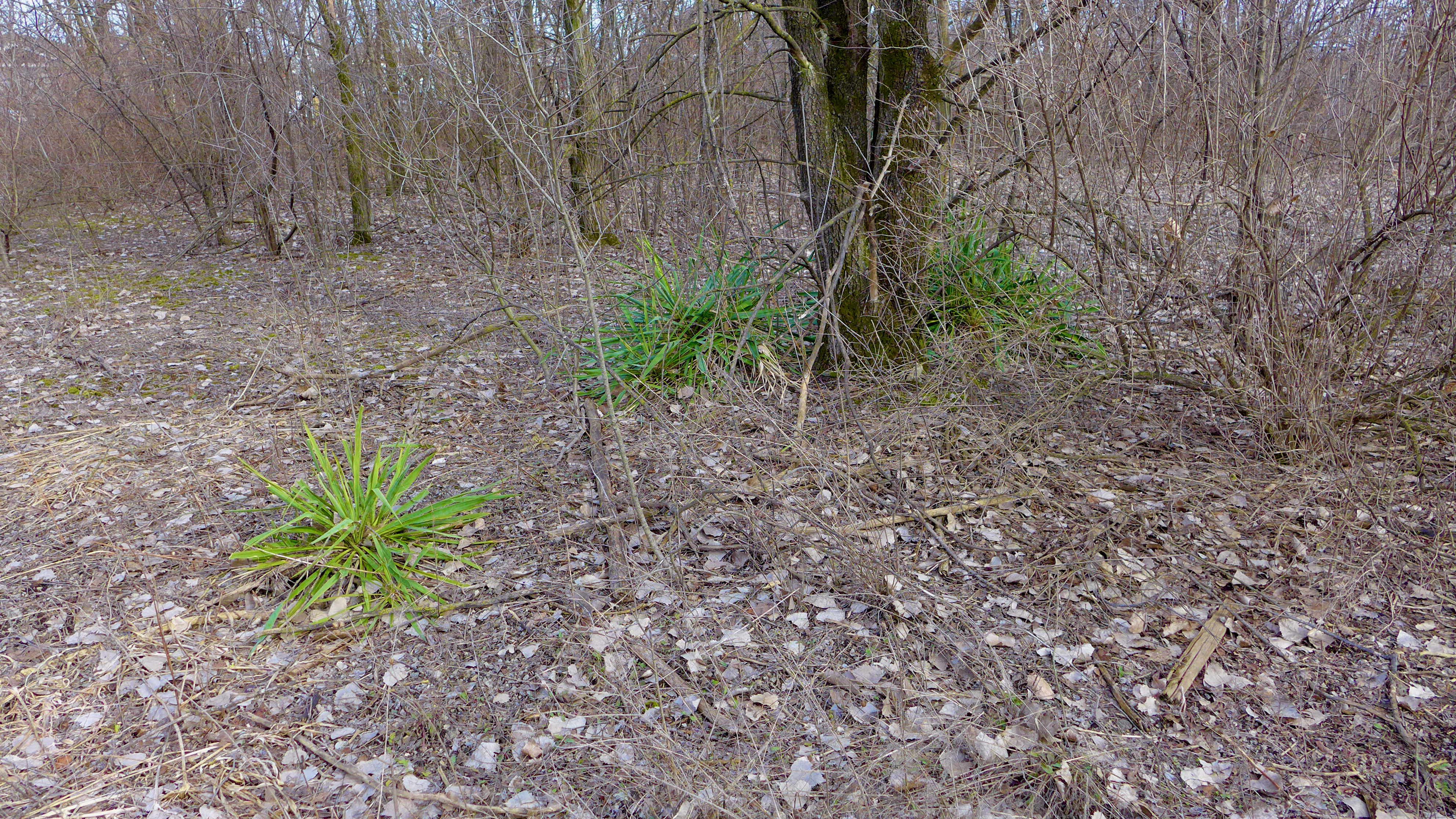
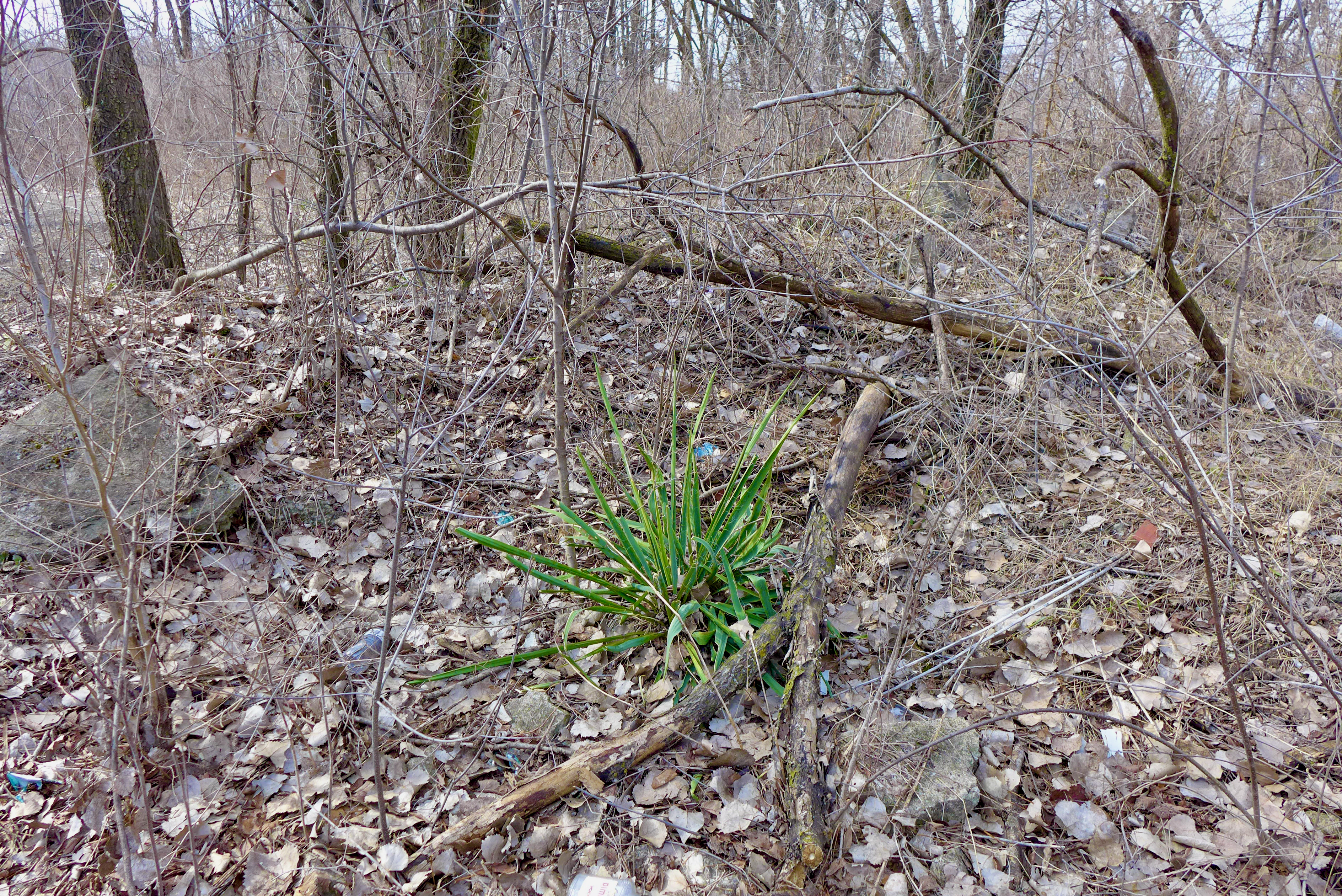
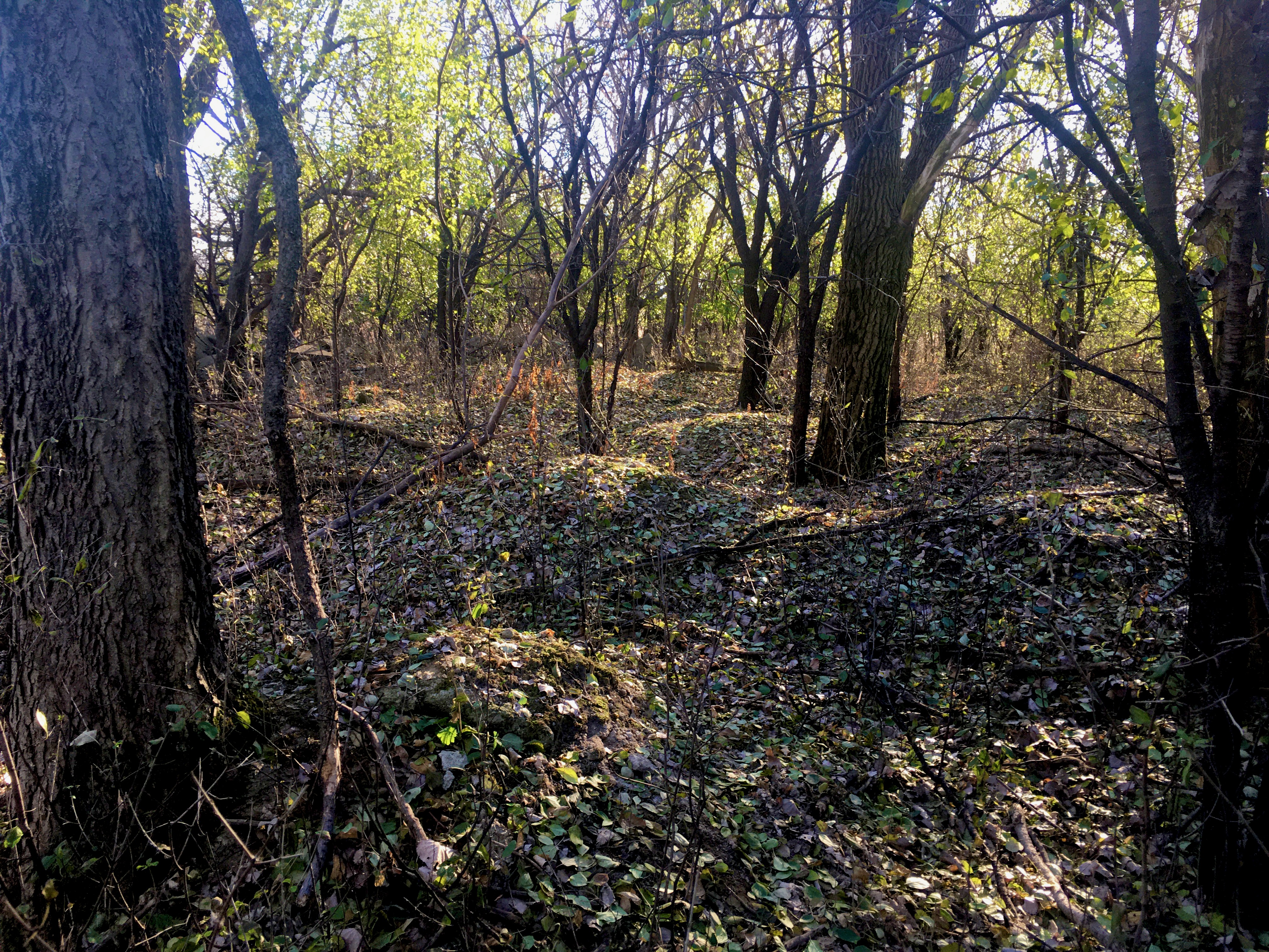
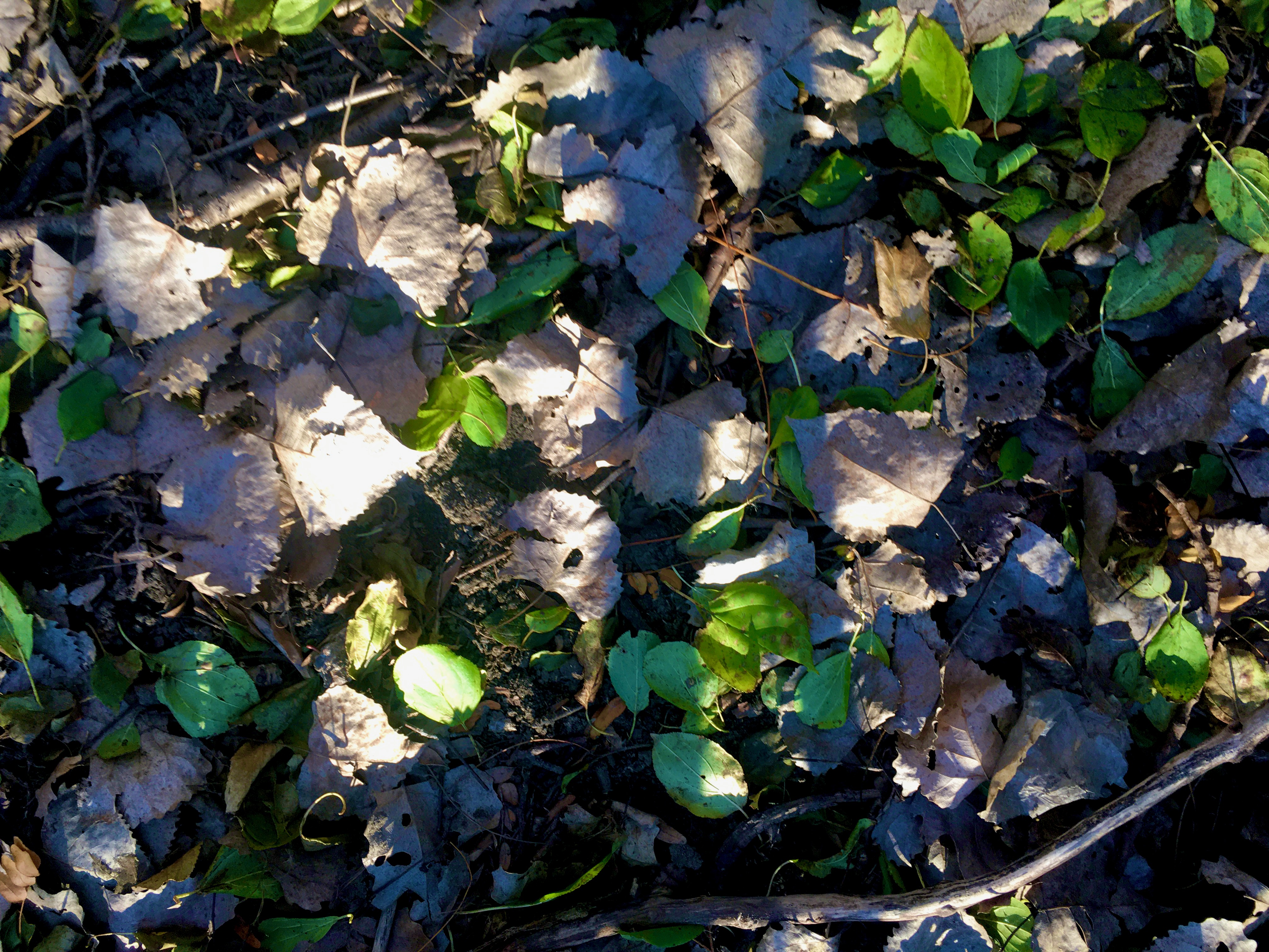
We went together and it turns out that in late winter, perennial plants are greening up and glowing among the dreary cottonwood leaves. It’s a well-used place with past attempts at structures and social gatherings strewn about. No one else was here today though.
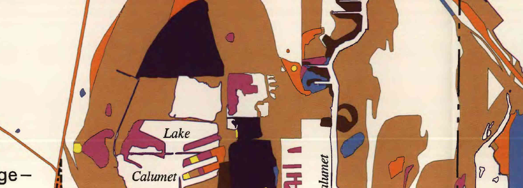
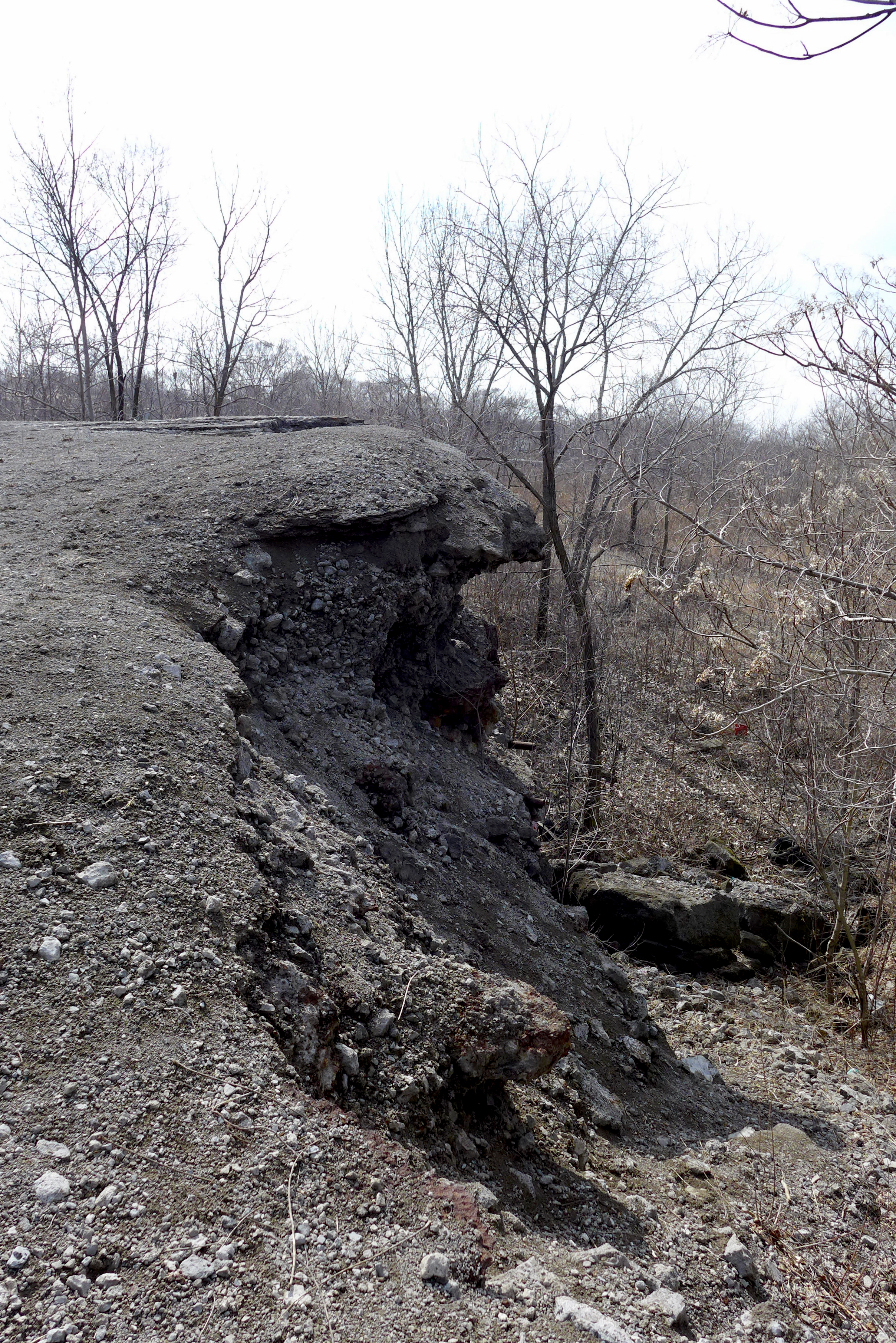
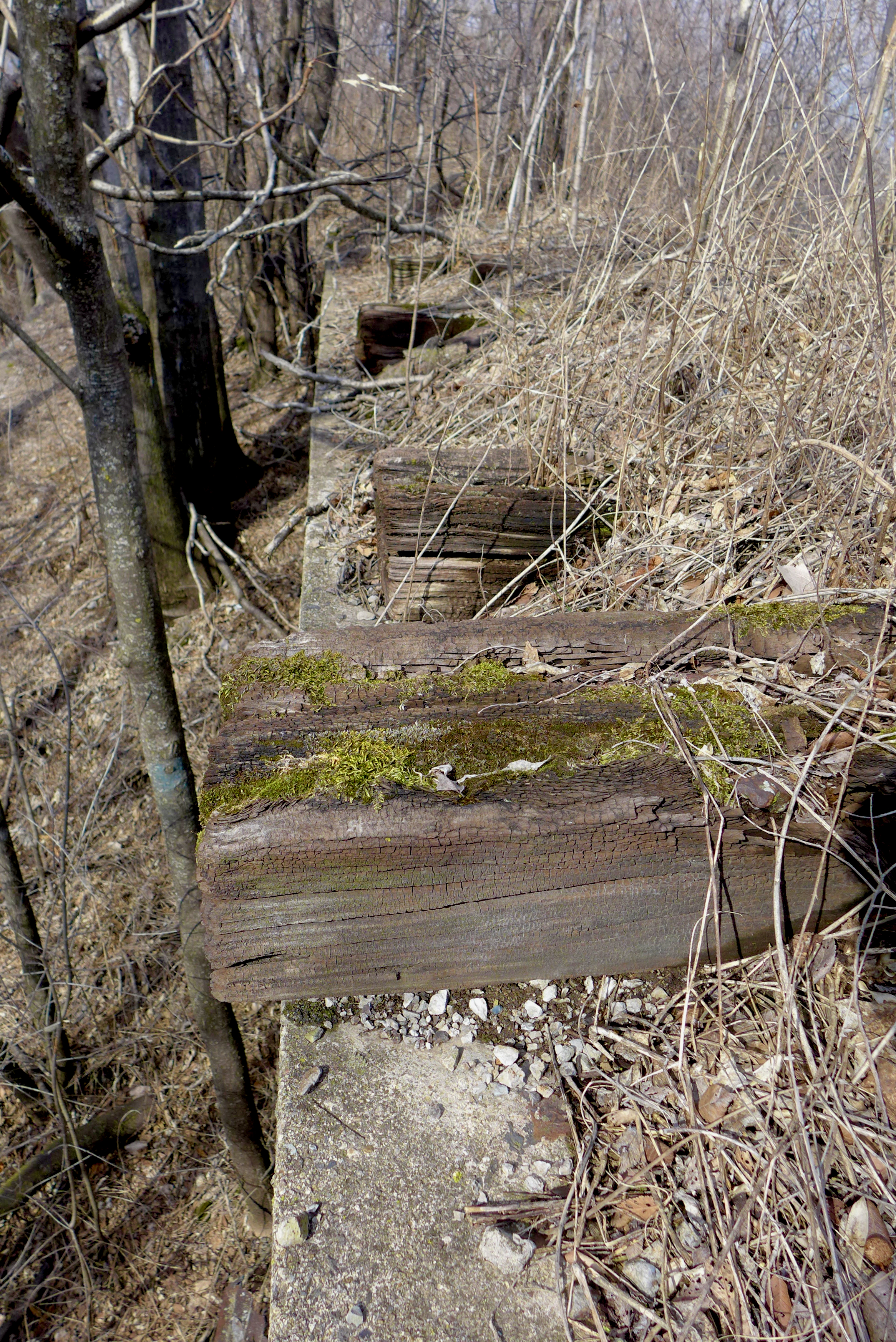
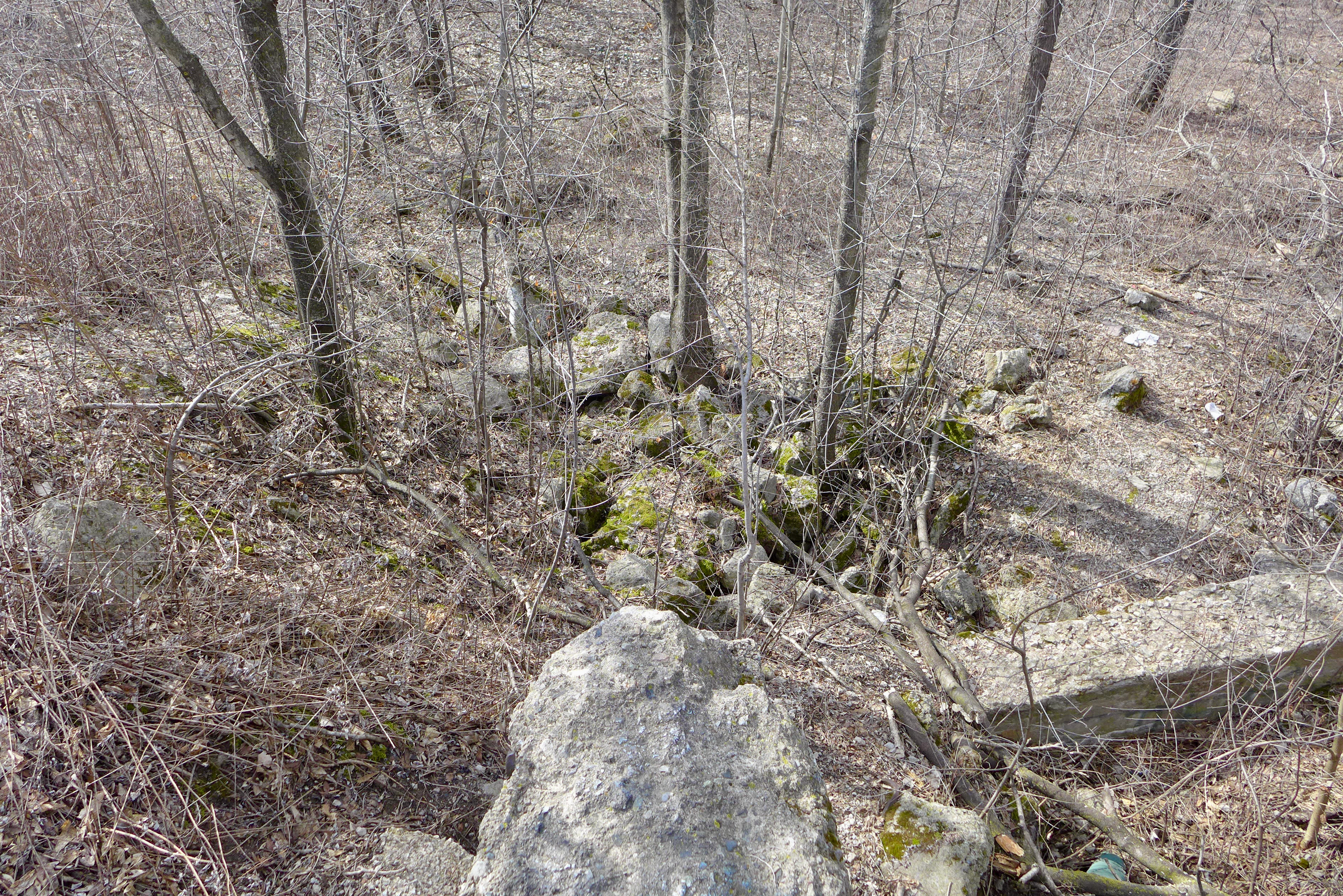
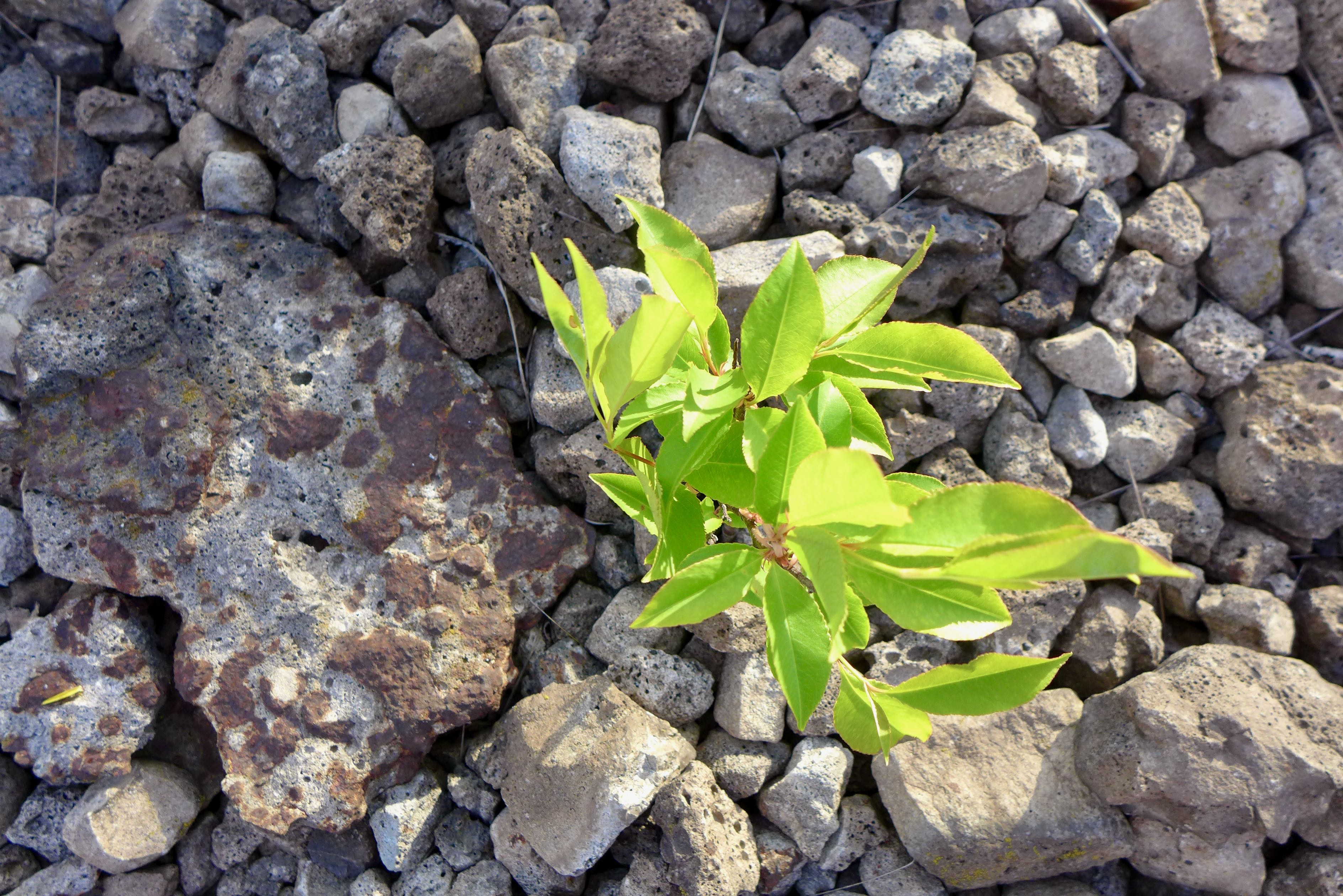
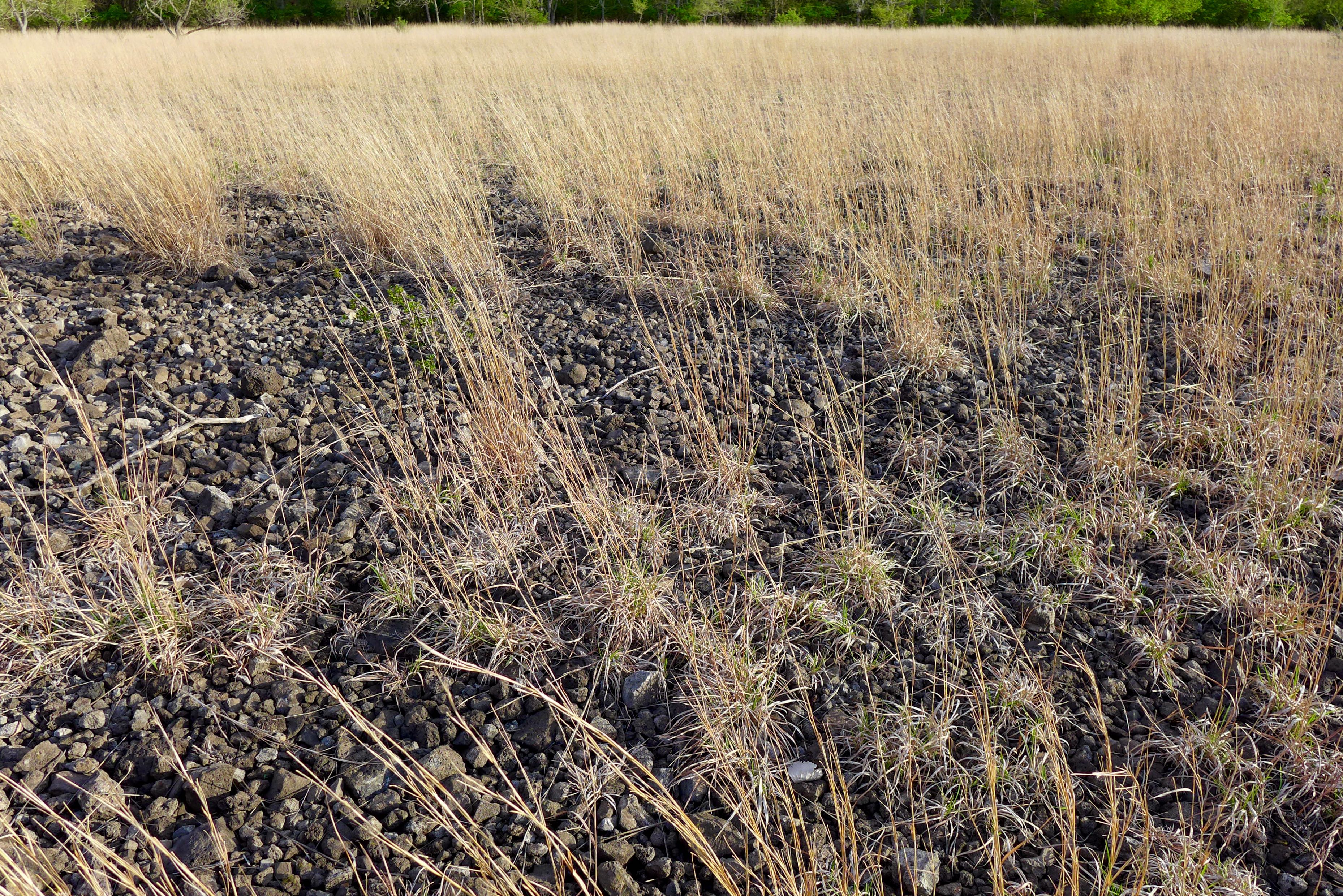
There’s a giant slag heap, one of the few in the area (but also: Shroud site, some parts of the old USX site). Holmes and Kubbing (2022) find slag heaps with ecosystems in Pittsburgh; in the Calumet Crescent we mostly see slag-filled depressions with slag as ground-level substrate. Remember that the Calumet was a vast wetland complex, yielding pockets in the landscape that were convenient to fill with steel production byproducts (e.g. slag) and other industrial waste.
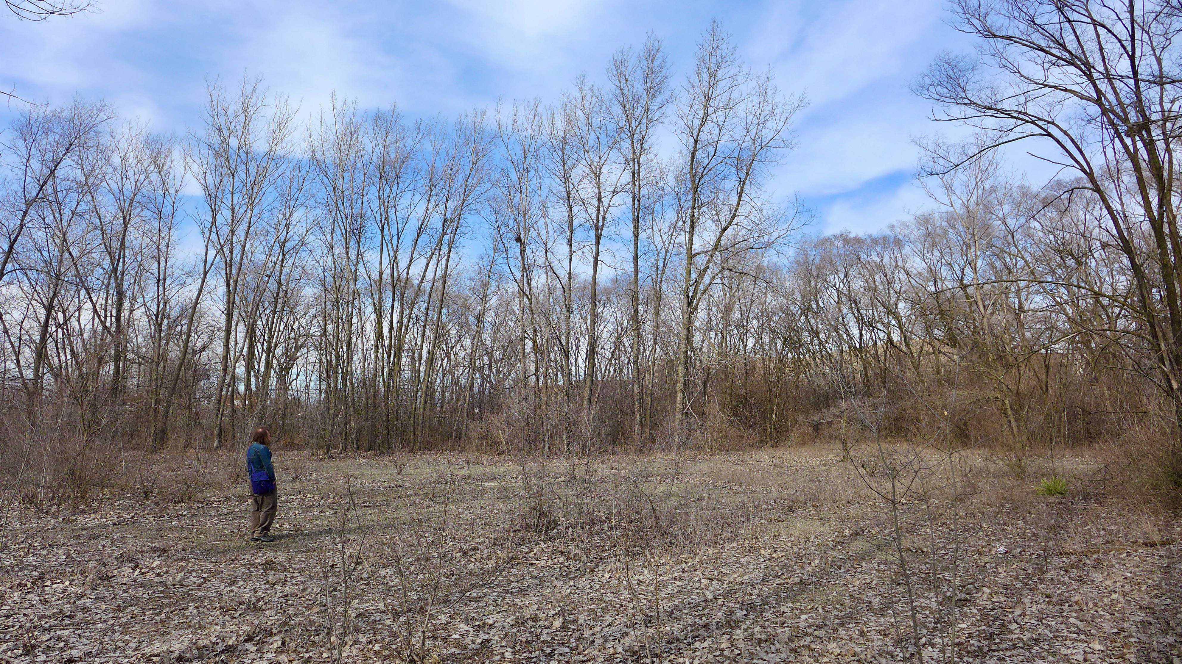
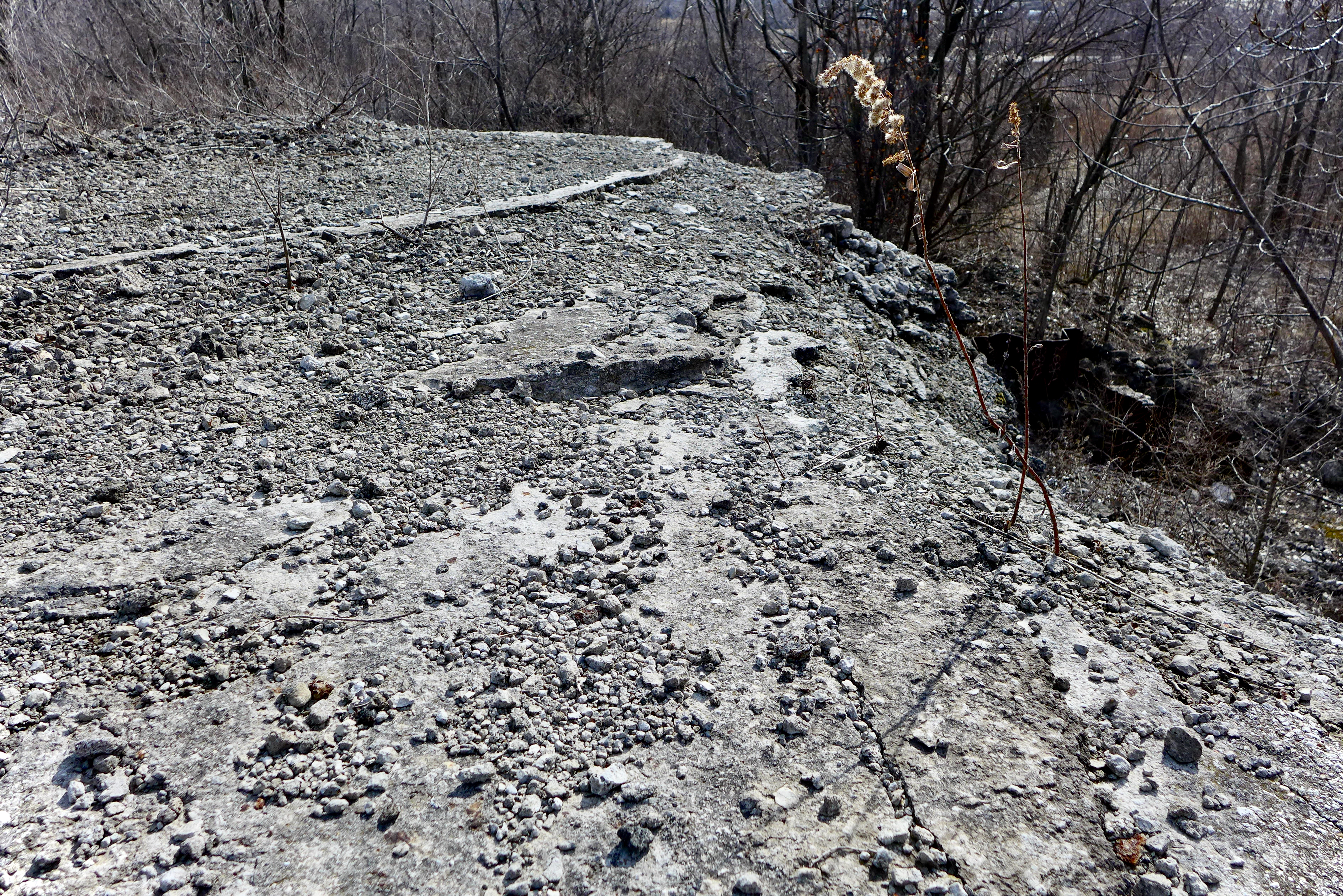
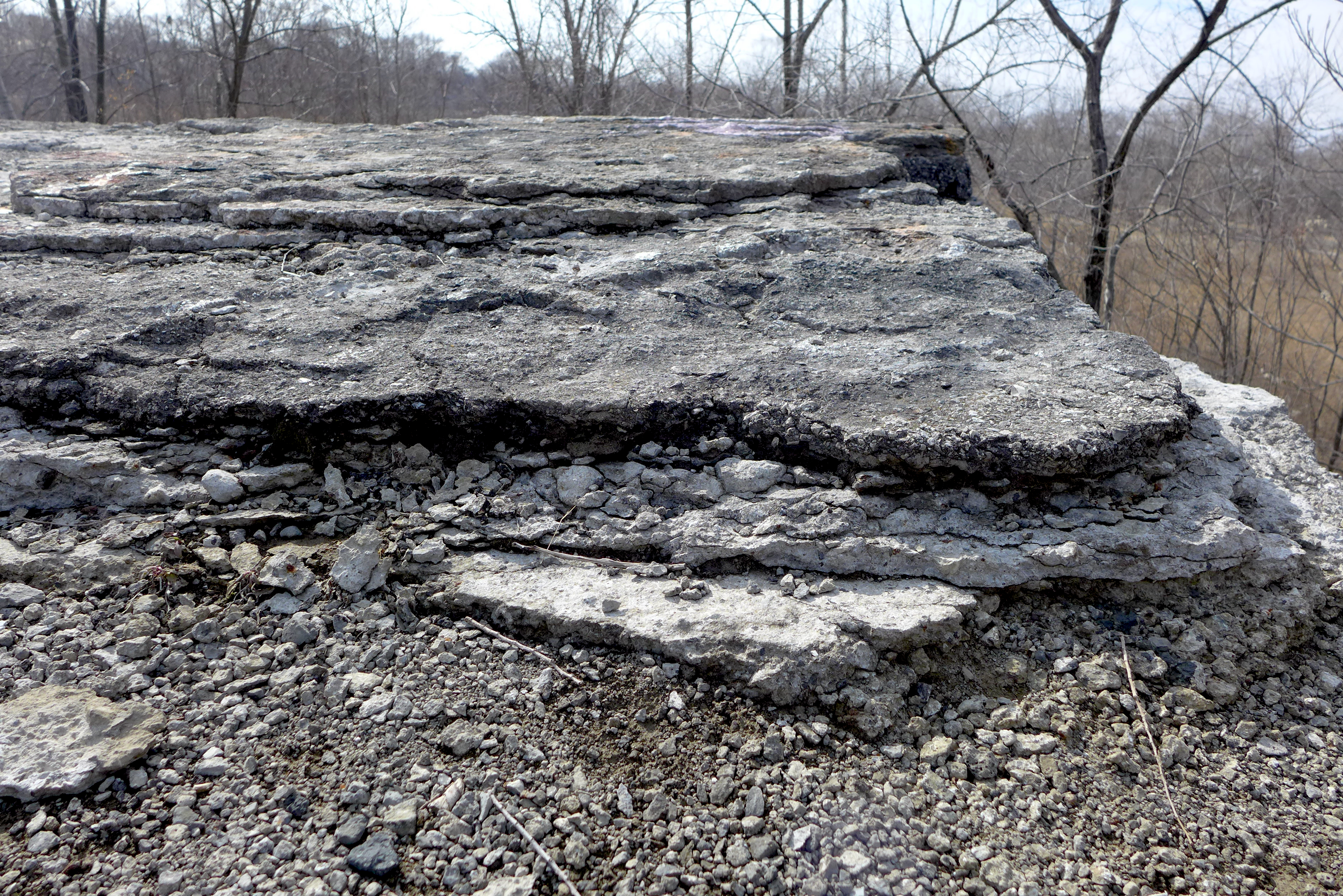
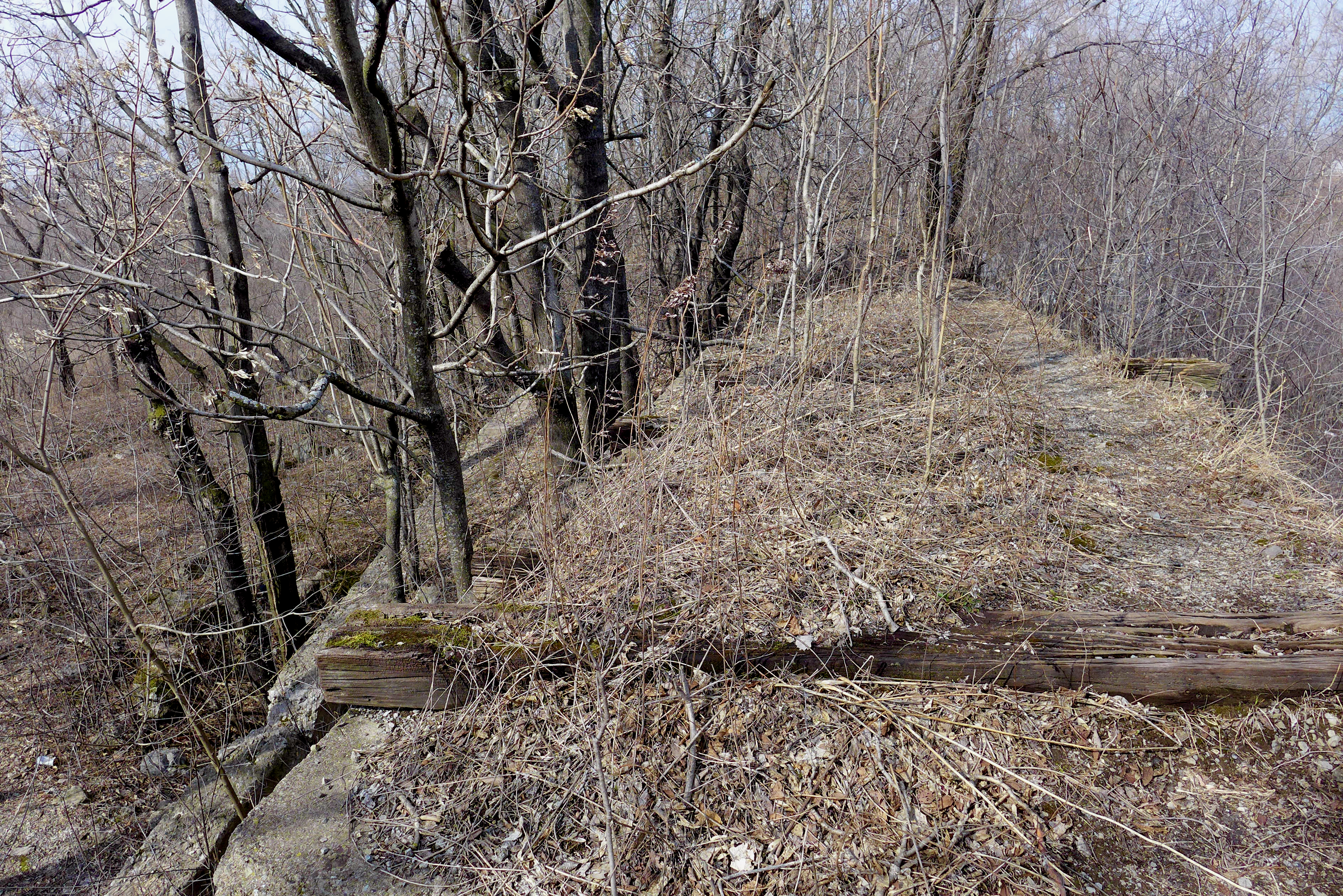
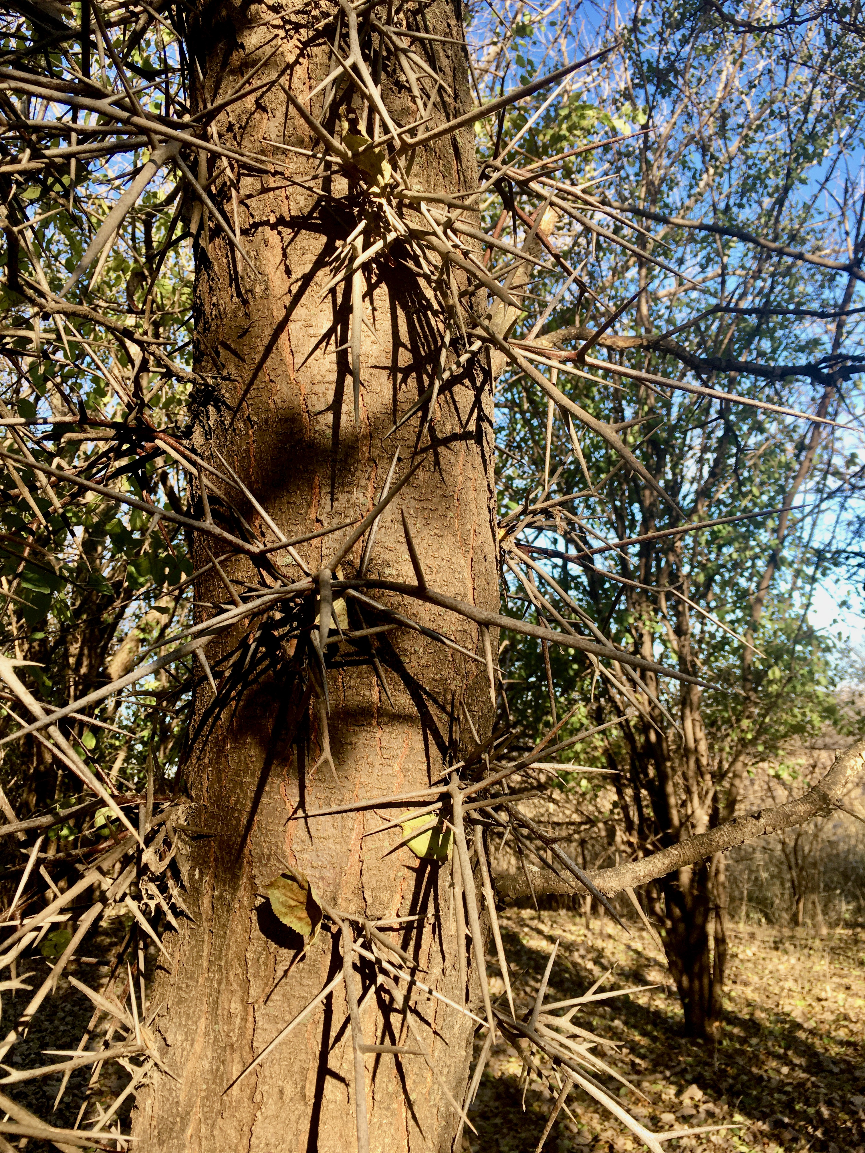
The slag pile, or slag cliffs, rose up out of the woods of neighborhood volunteer junk trees: Ailanthus, ash, elm, cottonwood, a few juniper. The heap had clearly been used as a raised railroad spur, a way to transport in and out whatever was made here. To the east, these woods spread out and made way for big openings that have been used for ATV trails and bike jumps.
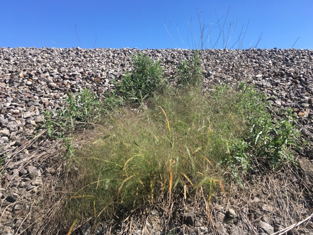
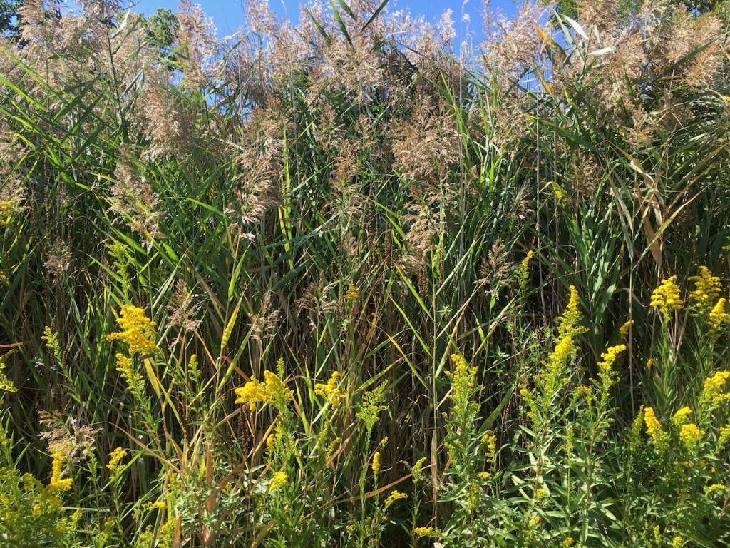
From the top of the slag cliffs, turning to the west was a delightful area with real promise: an ecosystem that grew up on slag and has created its own islands of organic material. A light canopy of slag-stunted rugged trees poked through diverse grasses. It looked like a slag savanna that may potentially be comparable to the high quality slag complex we see at Big Marsh and Marian Byrnes Parks?
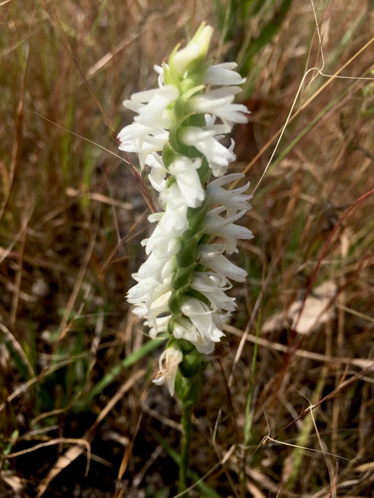
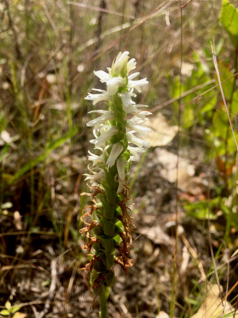
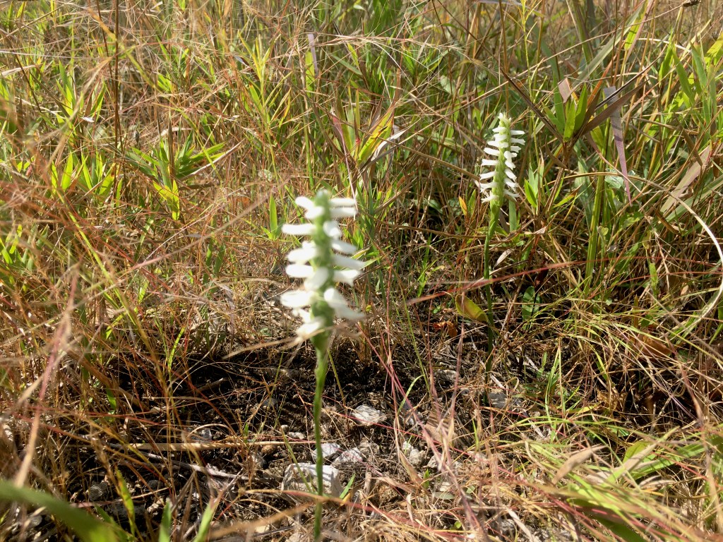
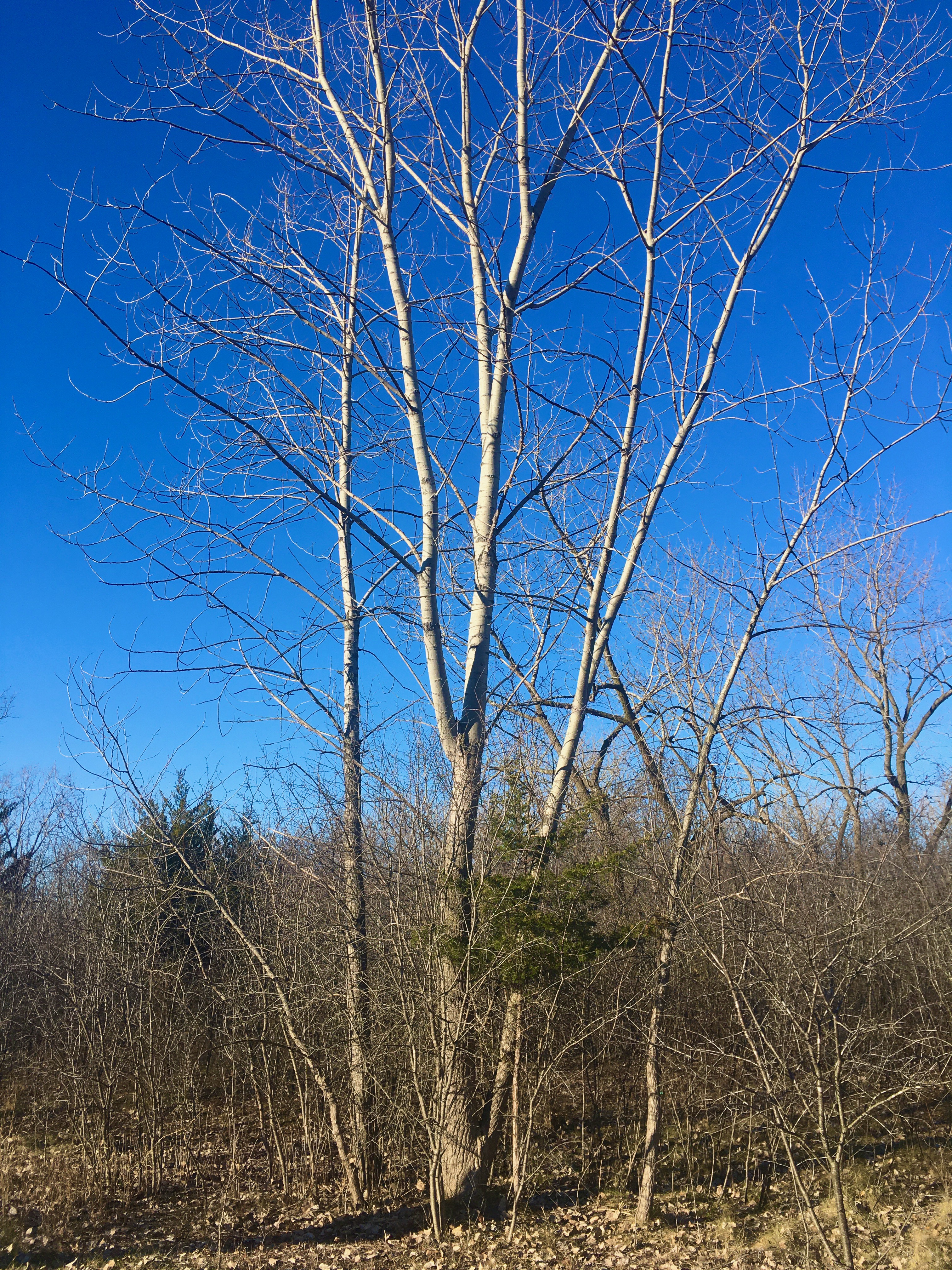
It’s winter now, but this seems like a mesic area that might be wet enough for orchids?! I’d expect Liatris, hopefully Spiranthes, some sedges and rushes. We’ll revisit at the end of summer.
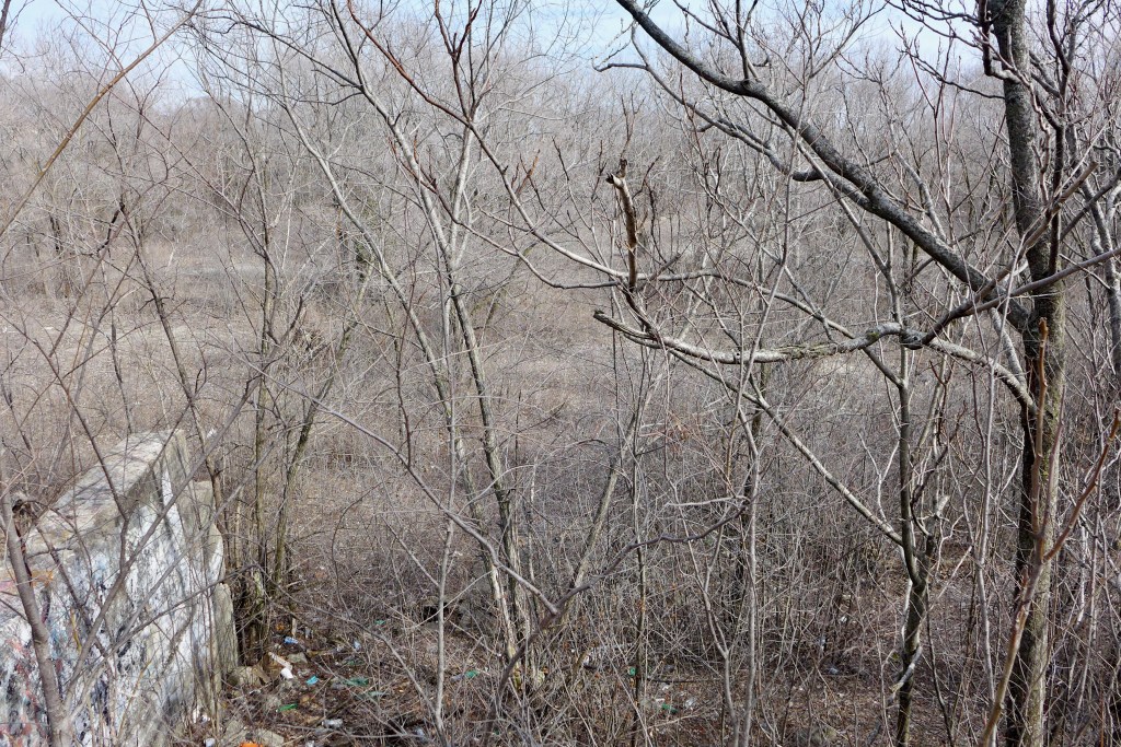
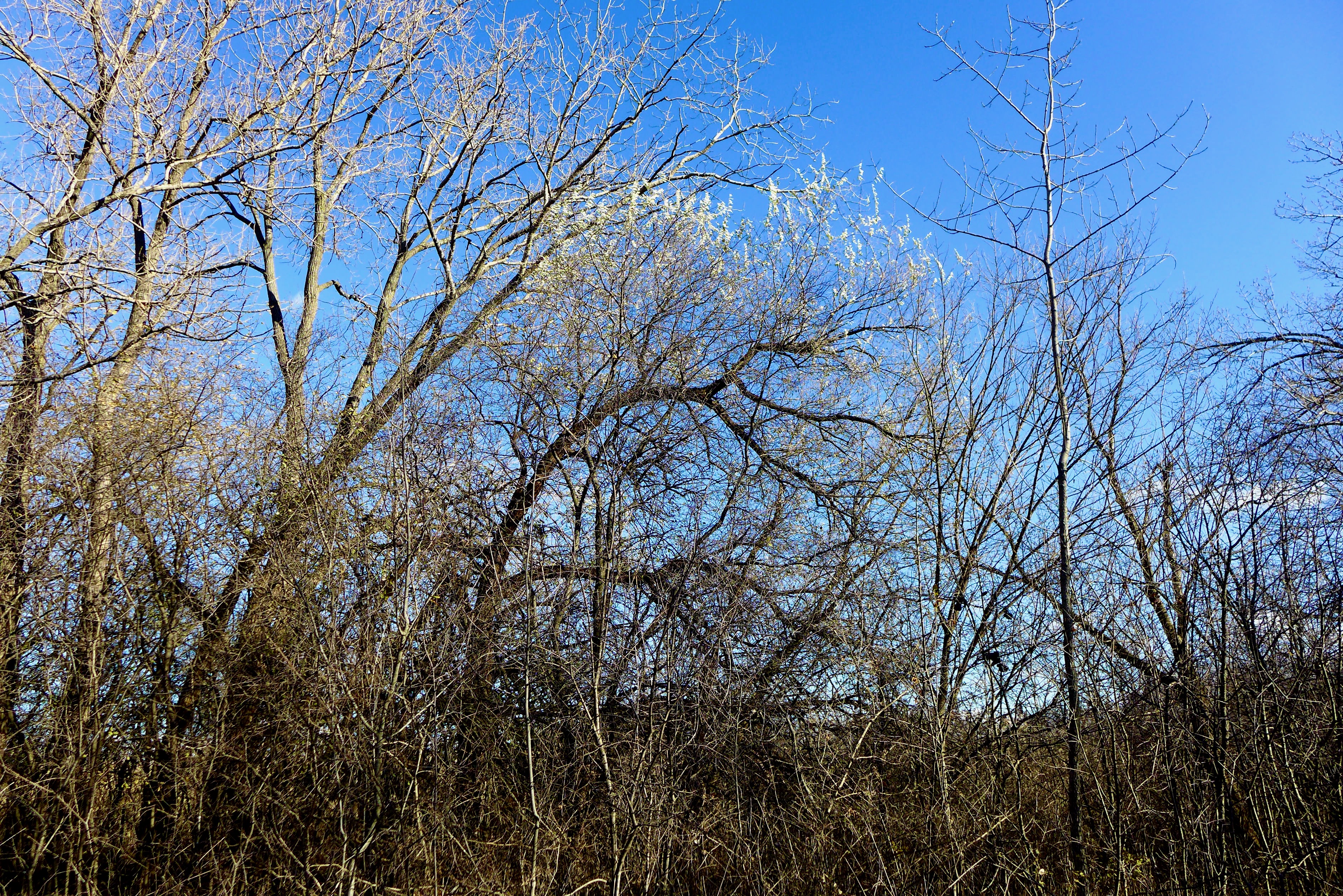
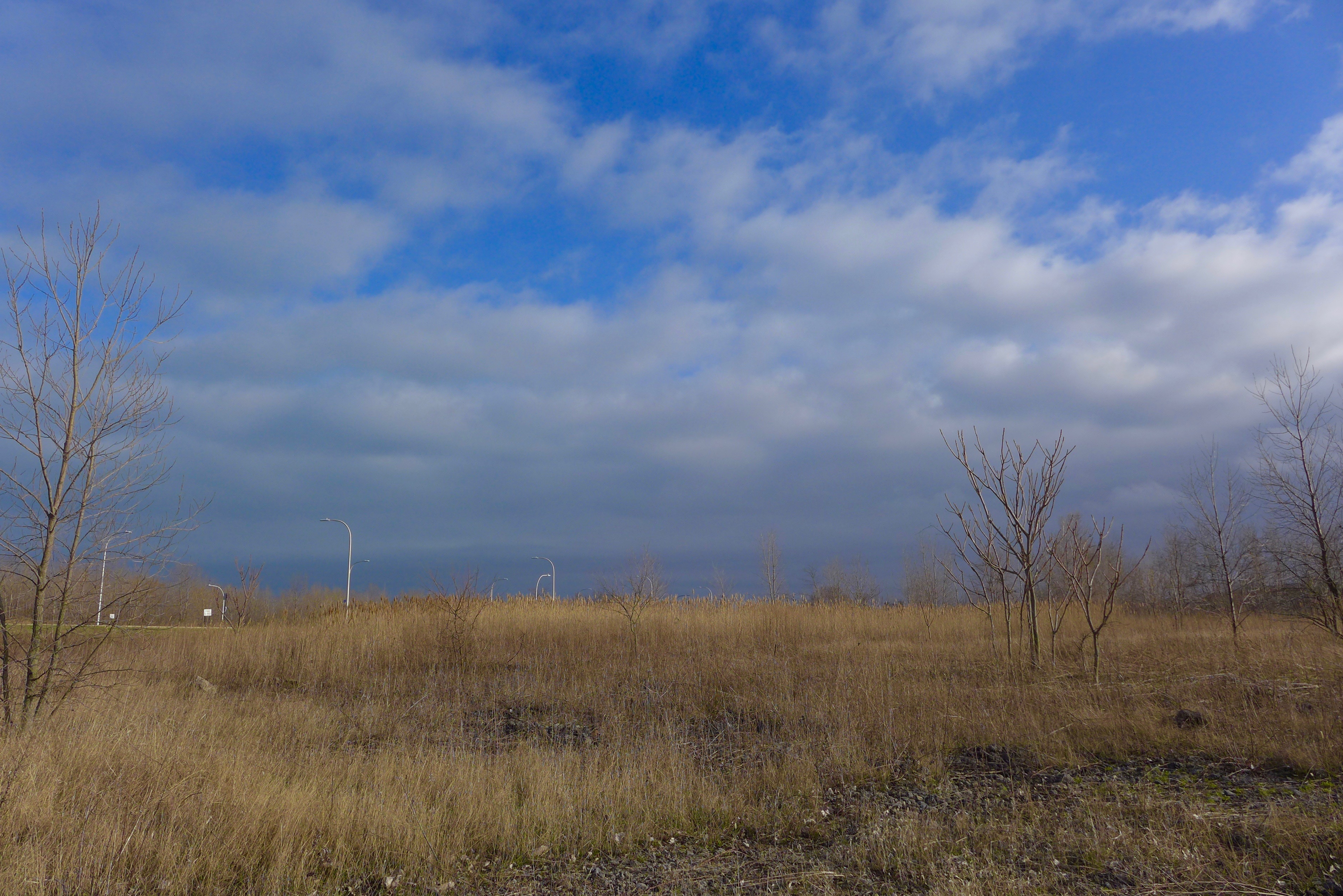
The bright blue sky and faded green of a warm early winter day. This place is wholly constructed now, atop swampy former wetland surrounding Lake Calumet – is there any remnant soil from that ecosystem? Or are all sediments so polluted it is unrecognizable beneath Phragmites and slag and a dune + swale landscape made from construction debris.
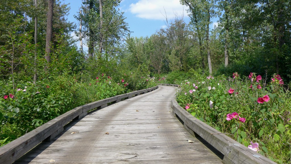
July is just the beginning of mallow season at Sand Ridge. Imagine the flowers twice as dense along the sides of the boardwalk – only a week or two away!
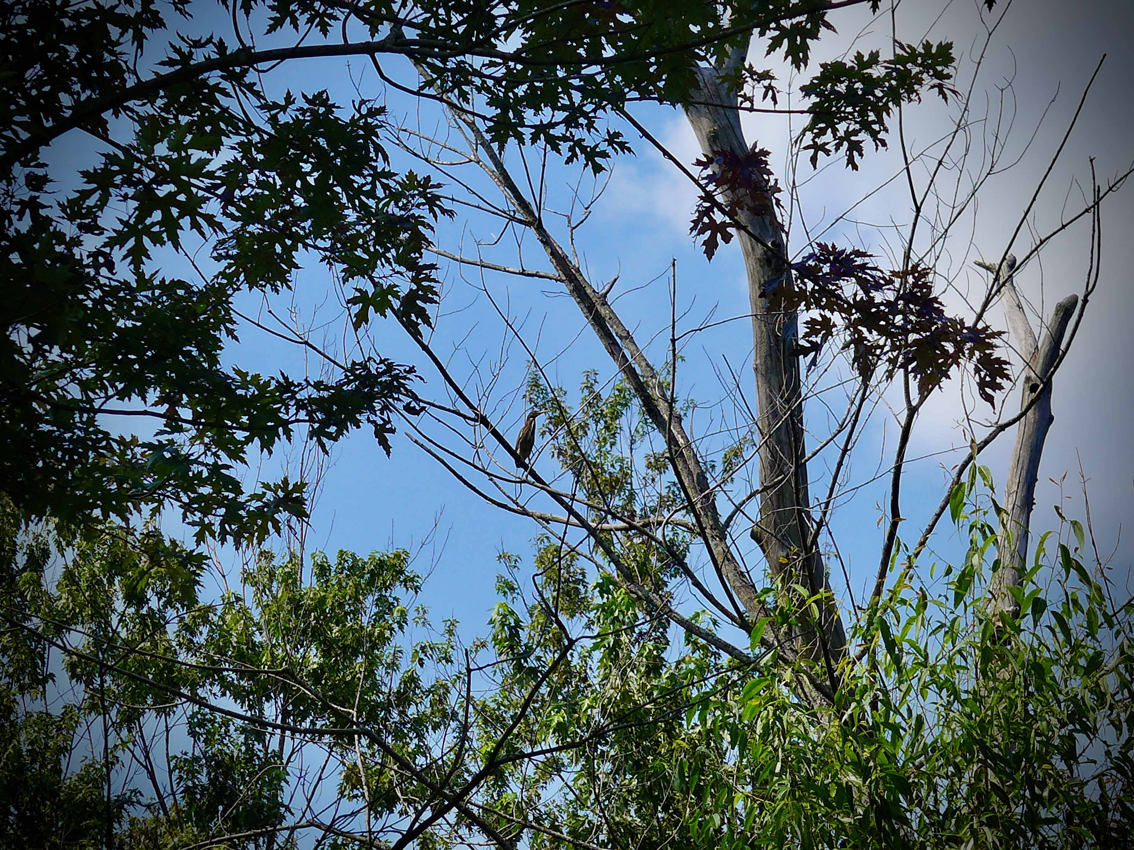
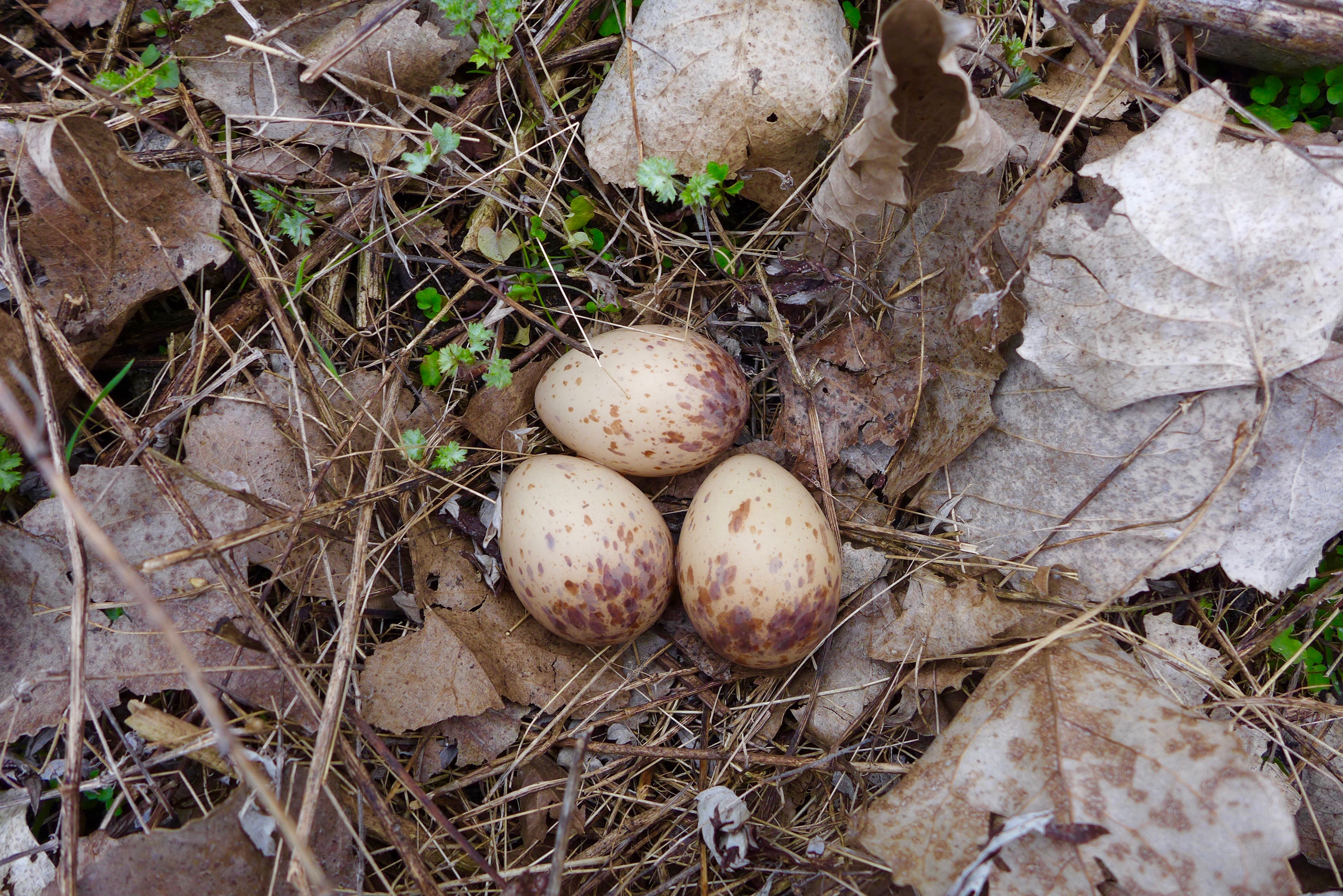
I had to start with the coolest thing we saw on our foray: woodcock eggs! We flushed their parents out of the brush from like 100 yards away. Questionable parenting.
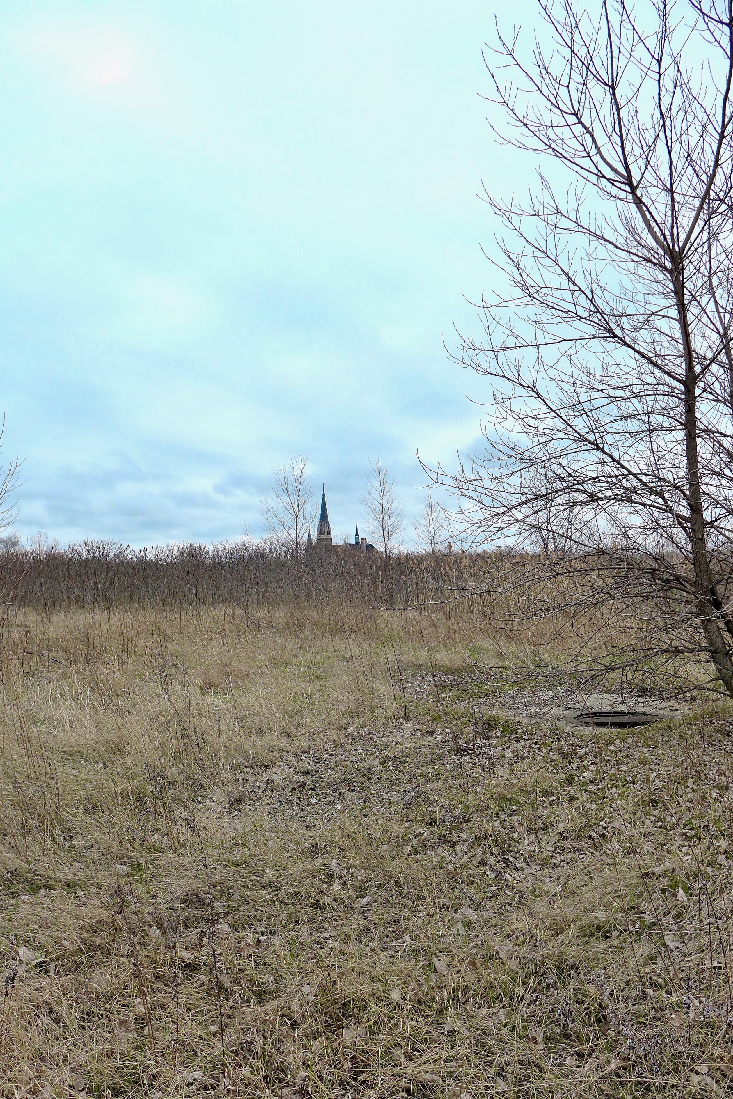
St. Michael’s Church.
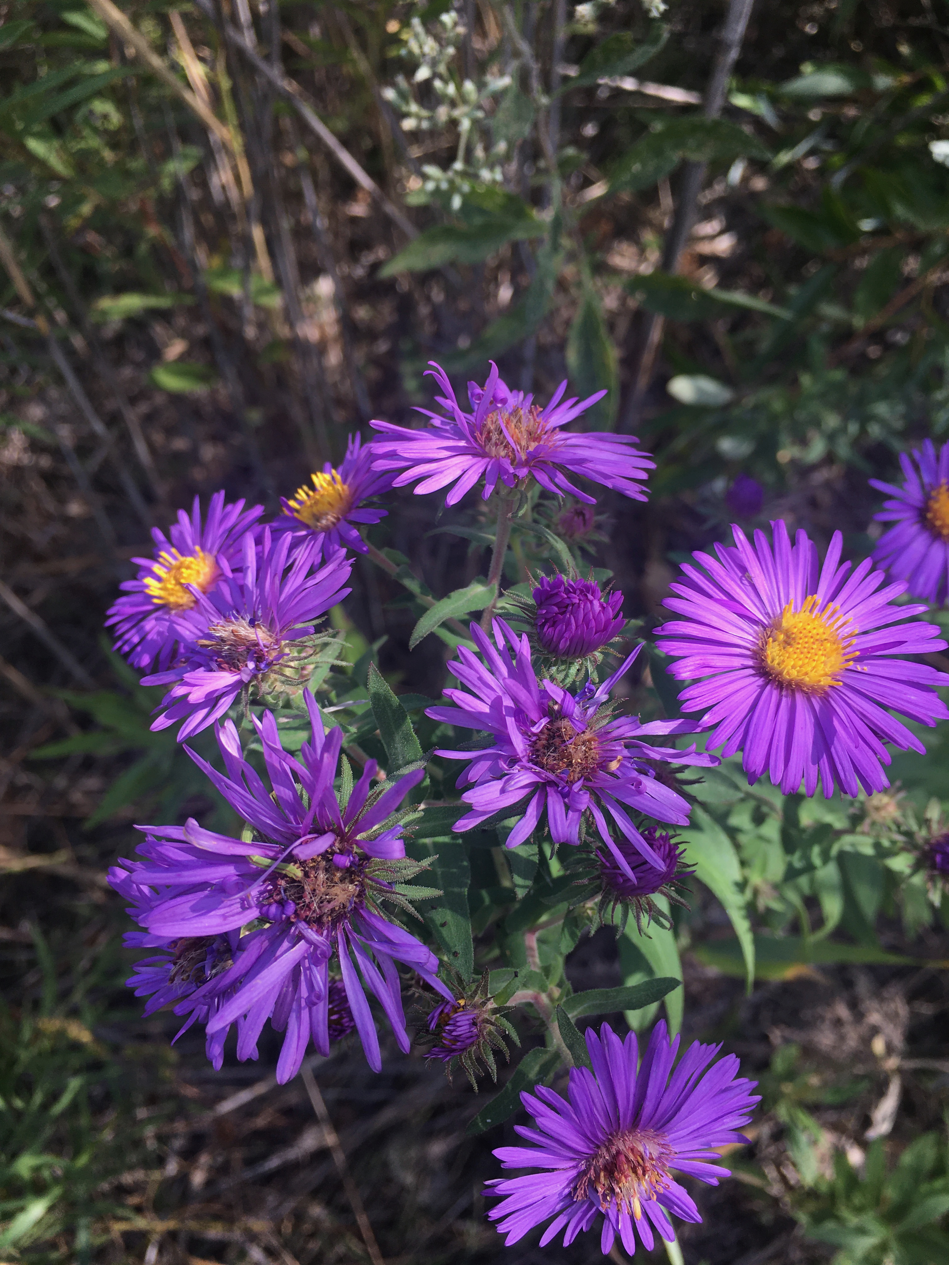
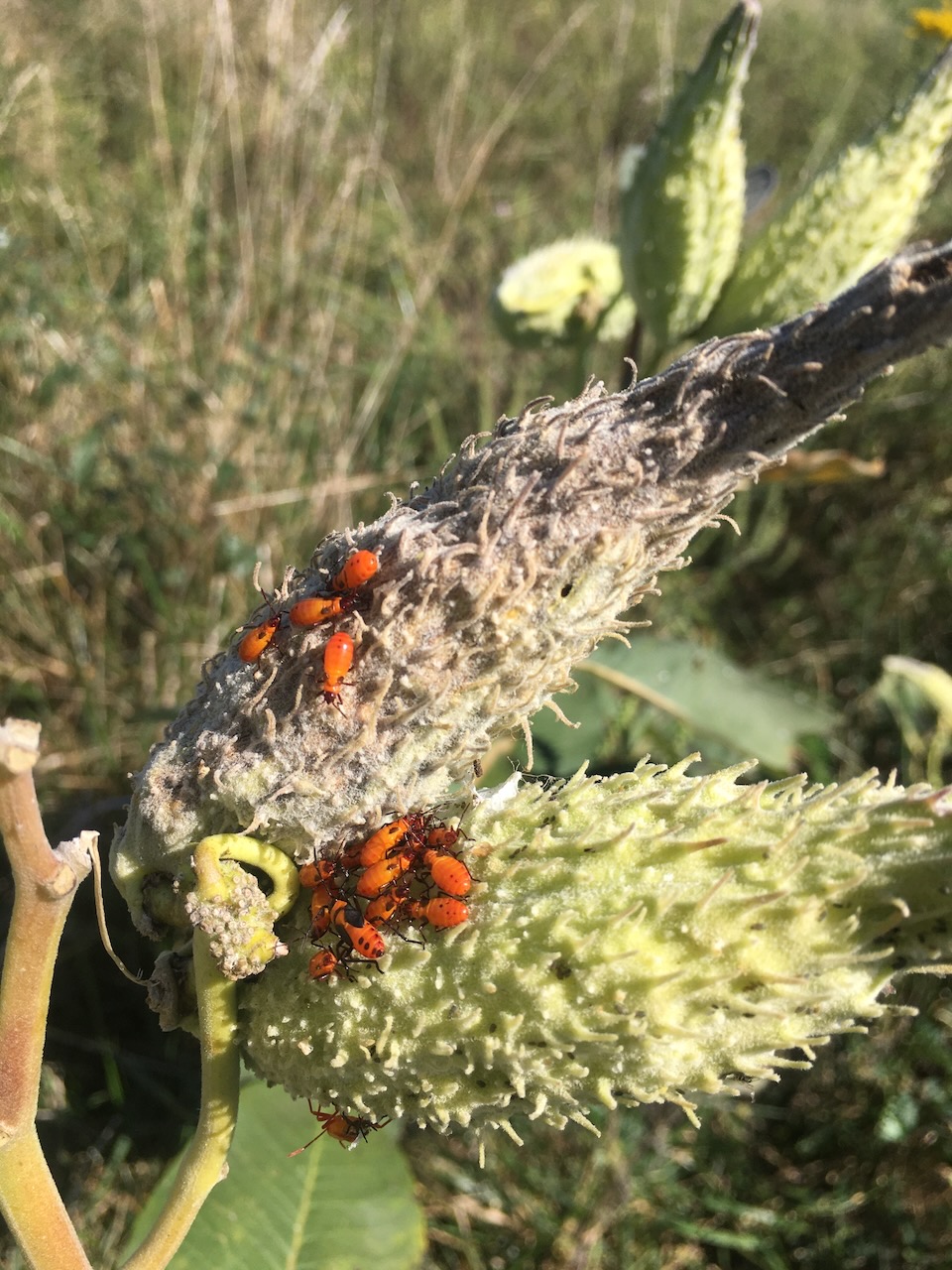
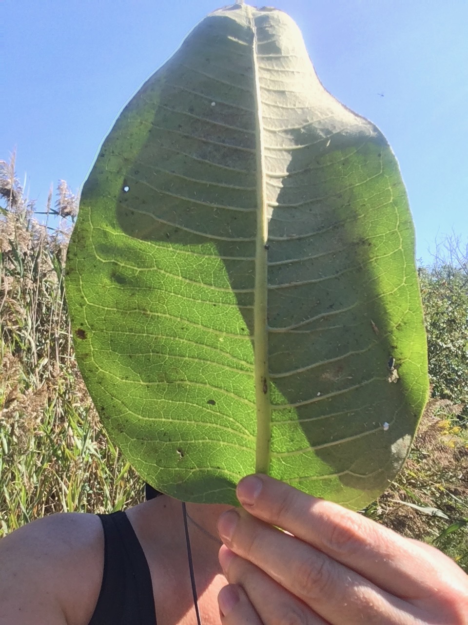
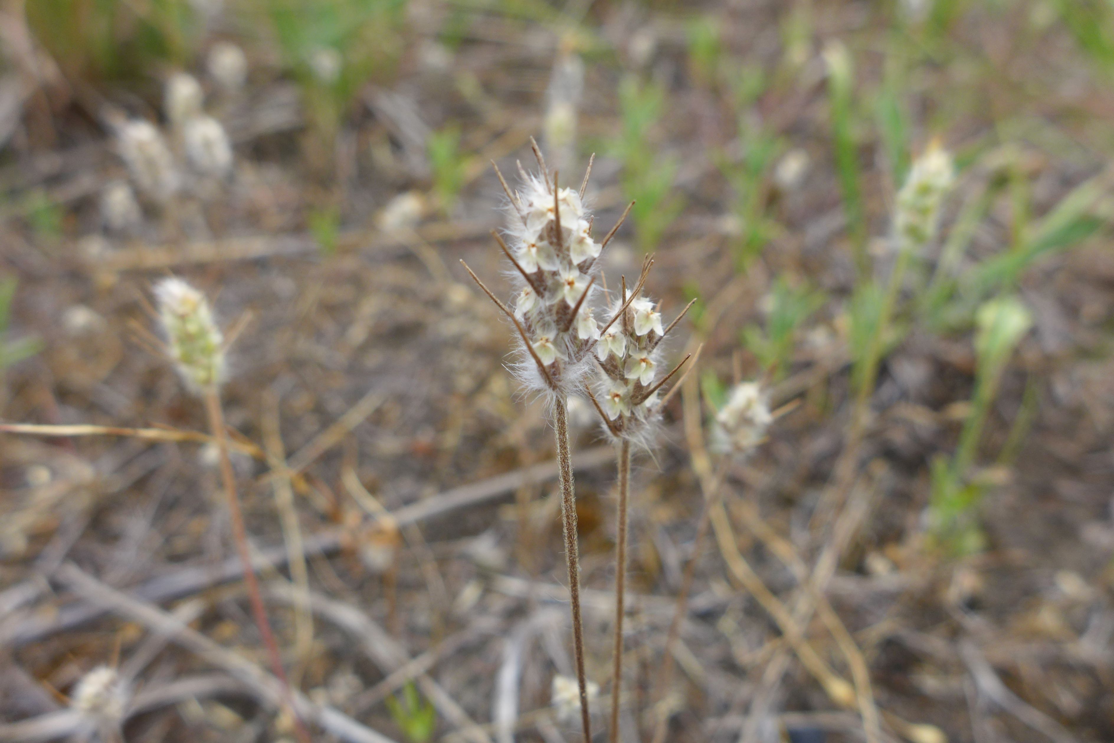
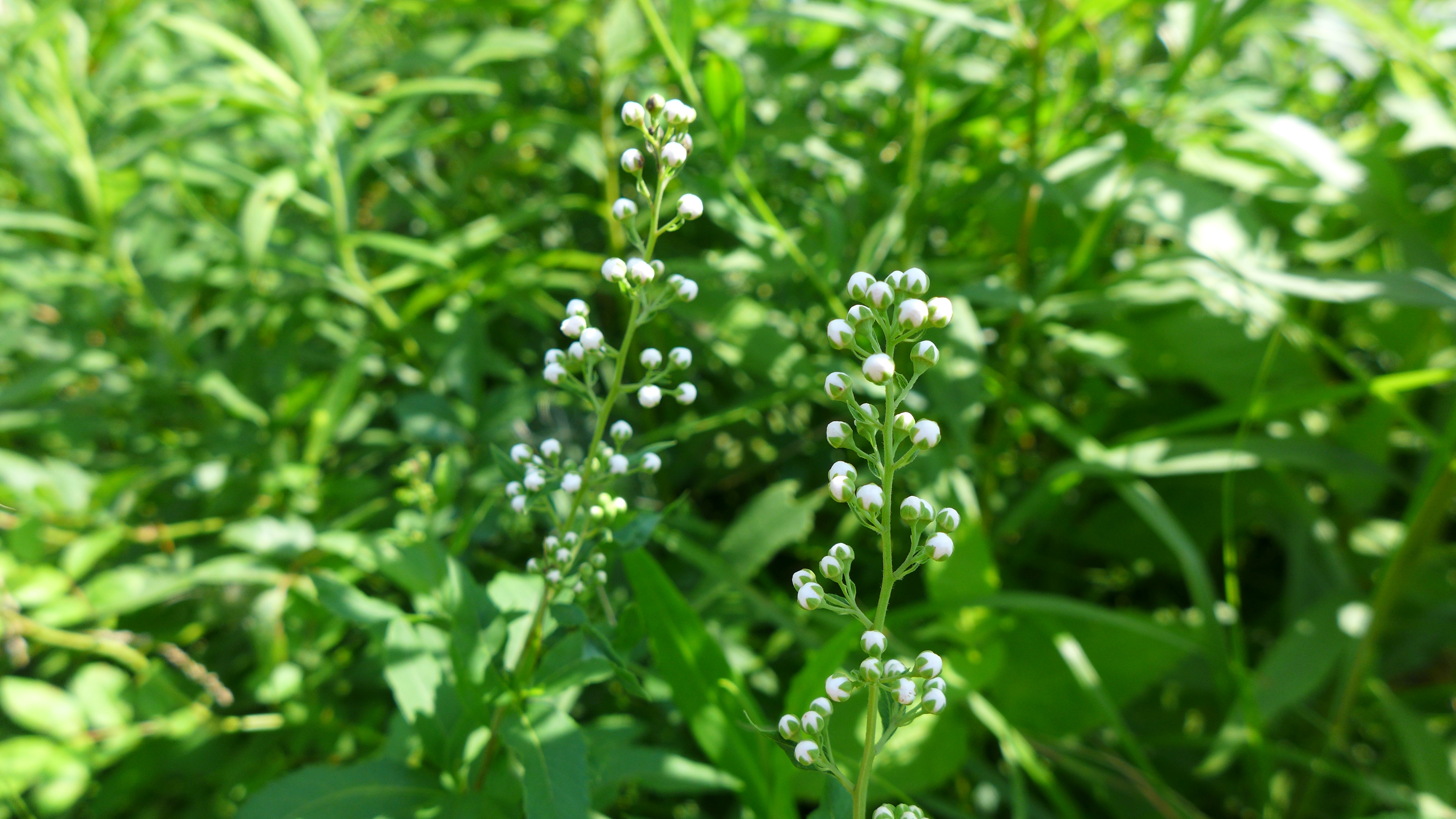
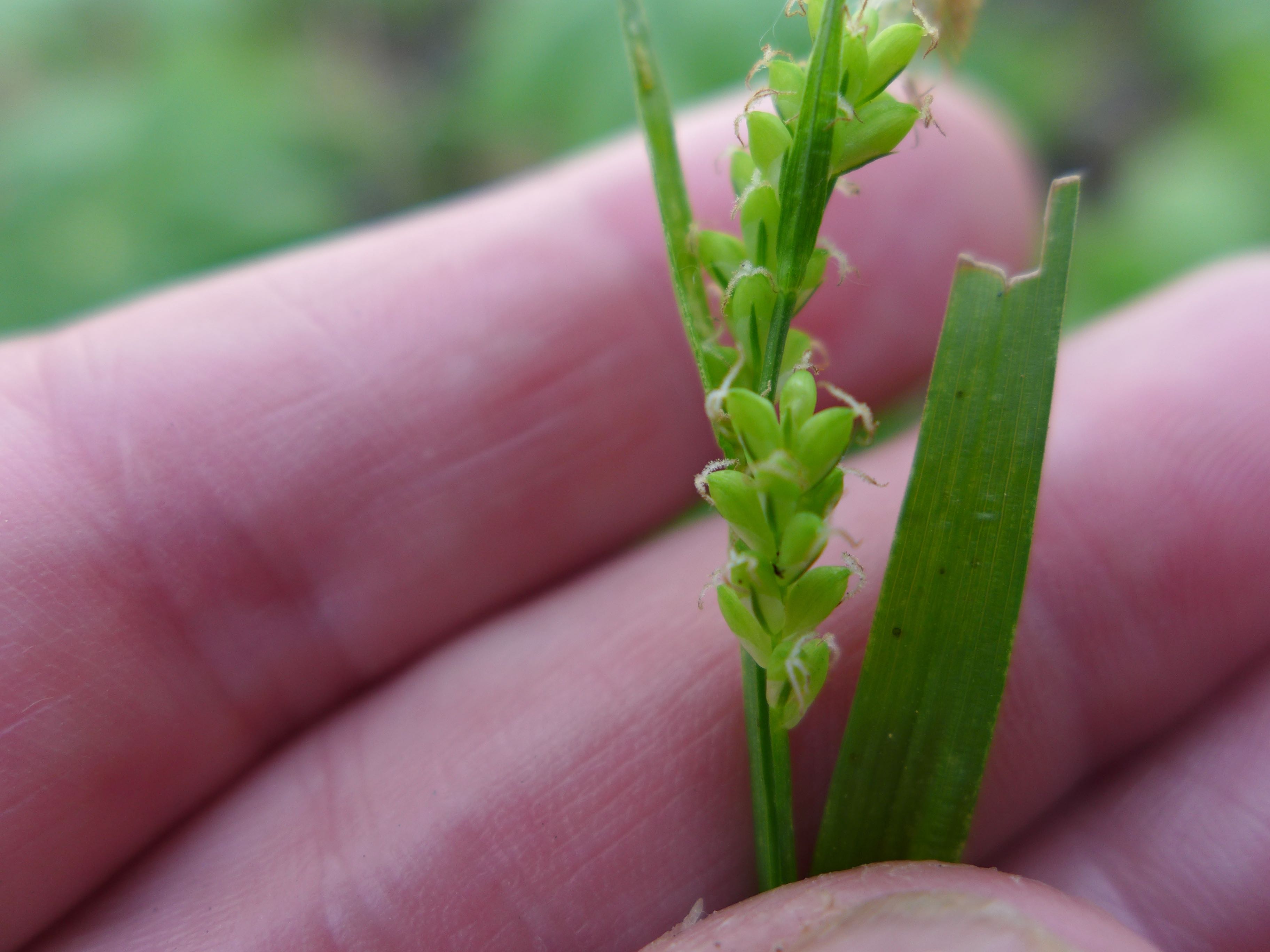
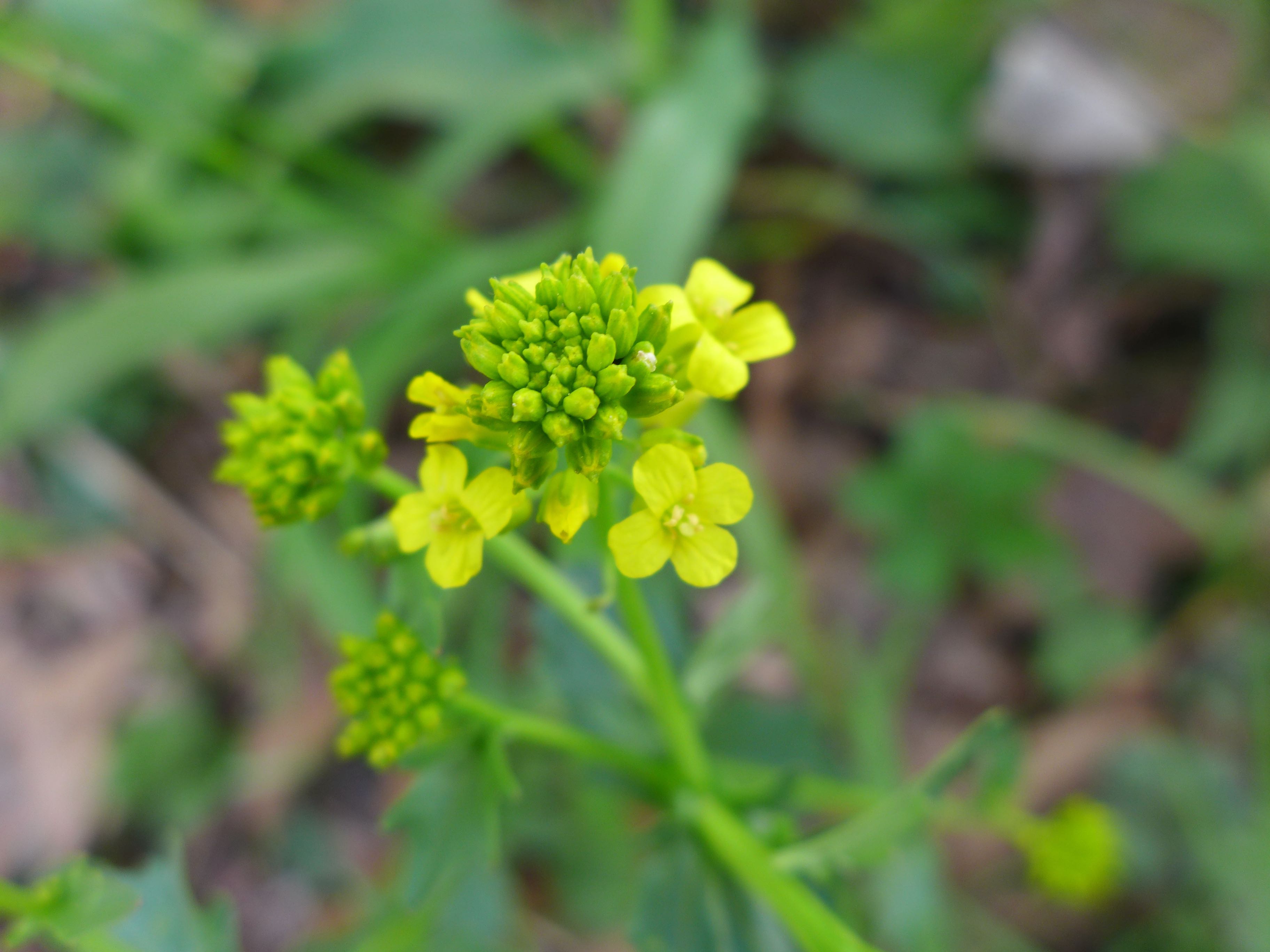
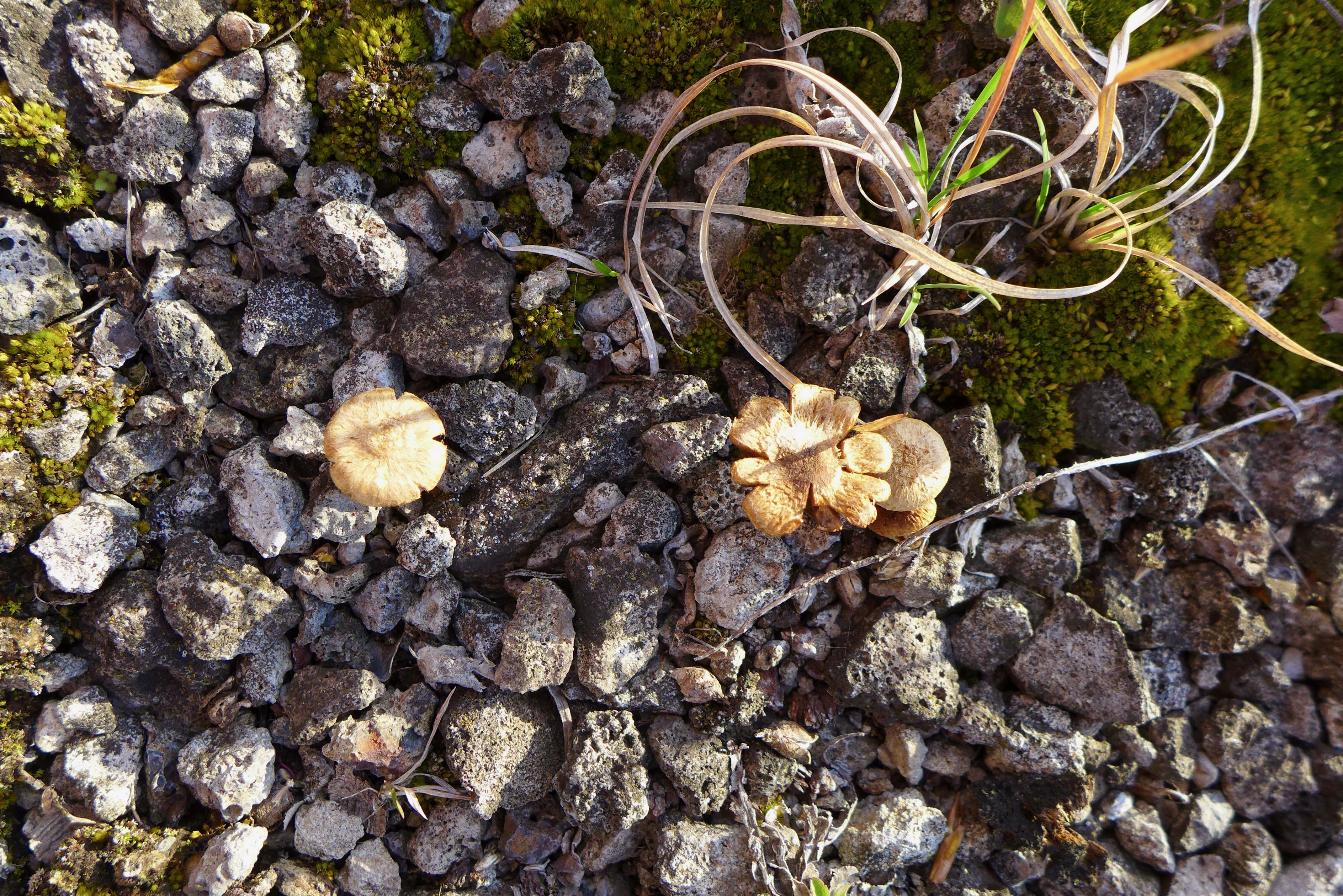
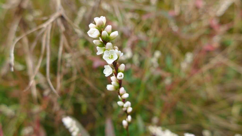
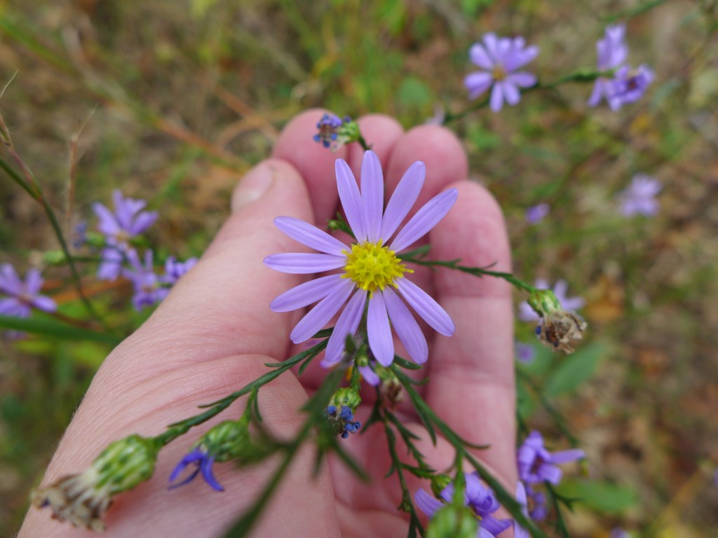
Some tiny buddies.
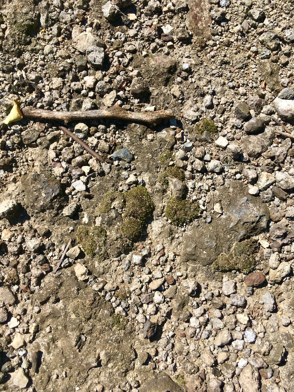
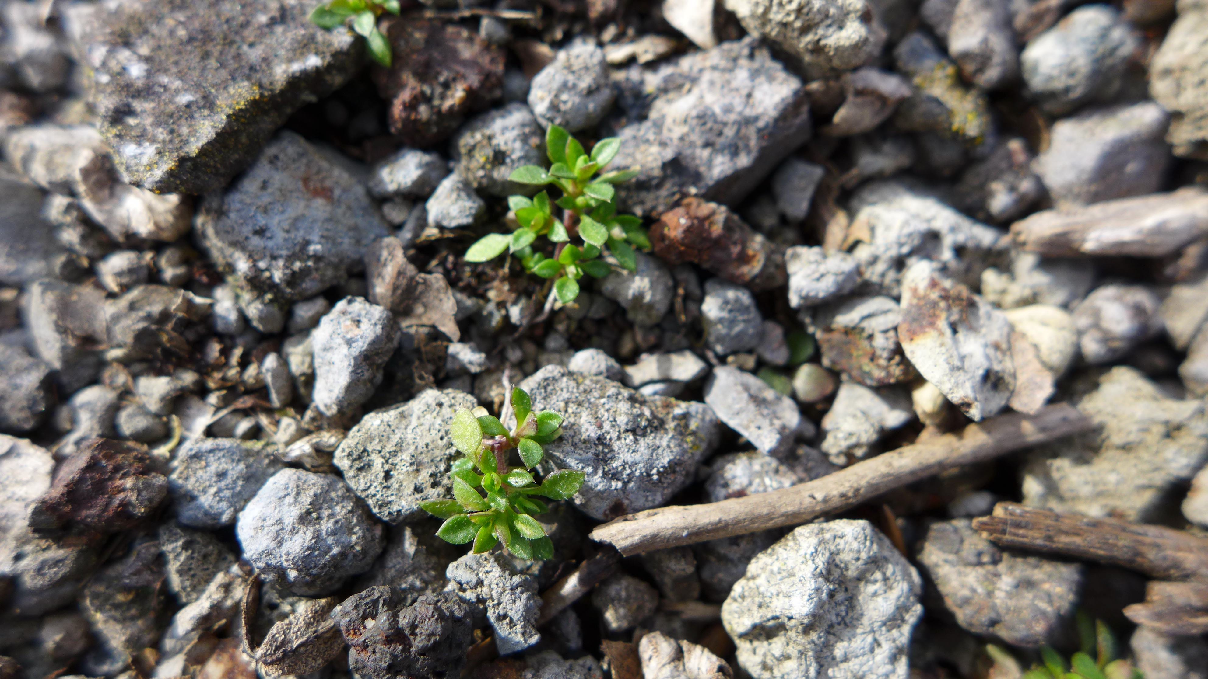
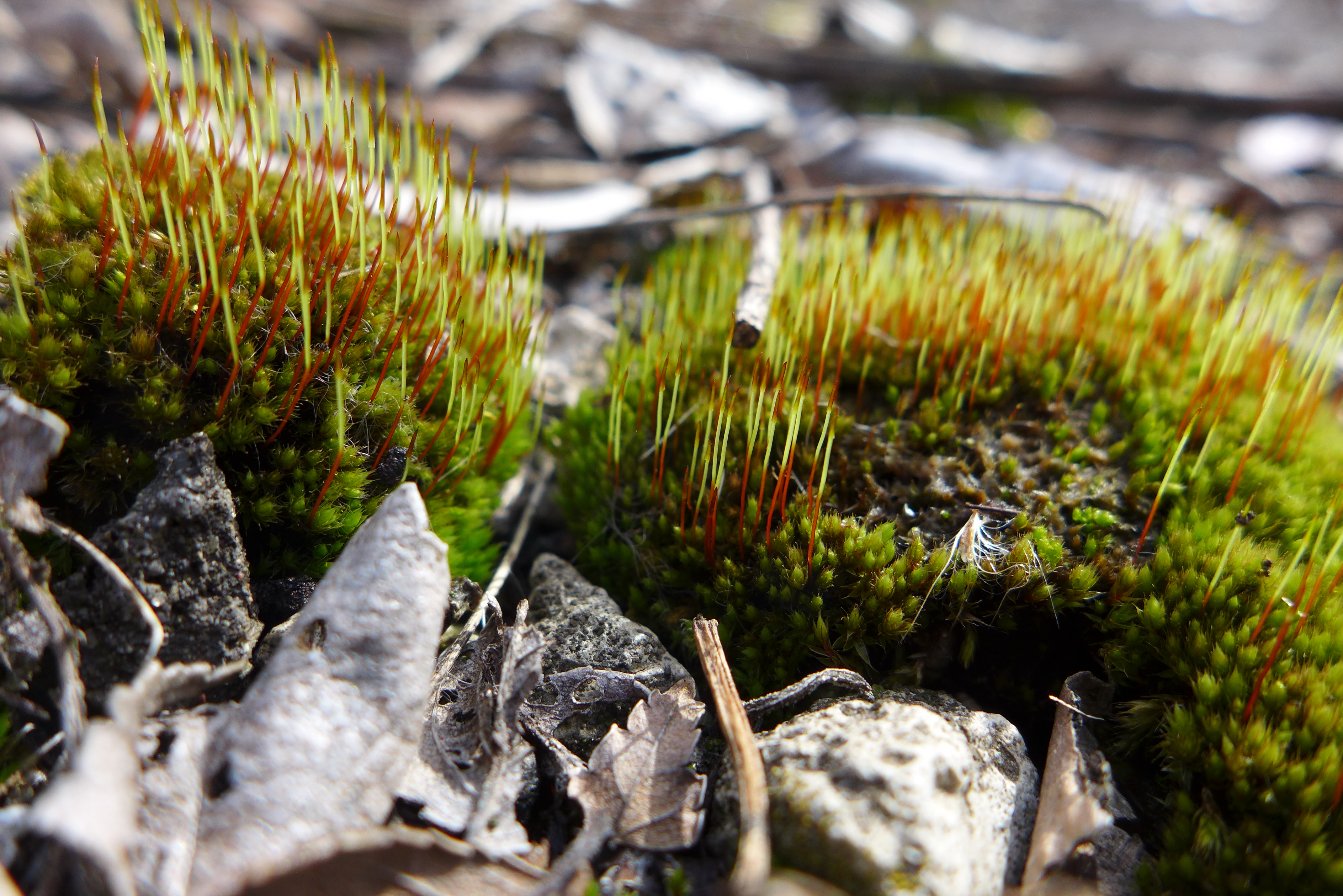
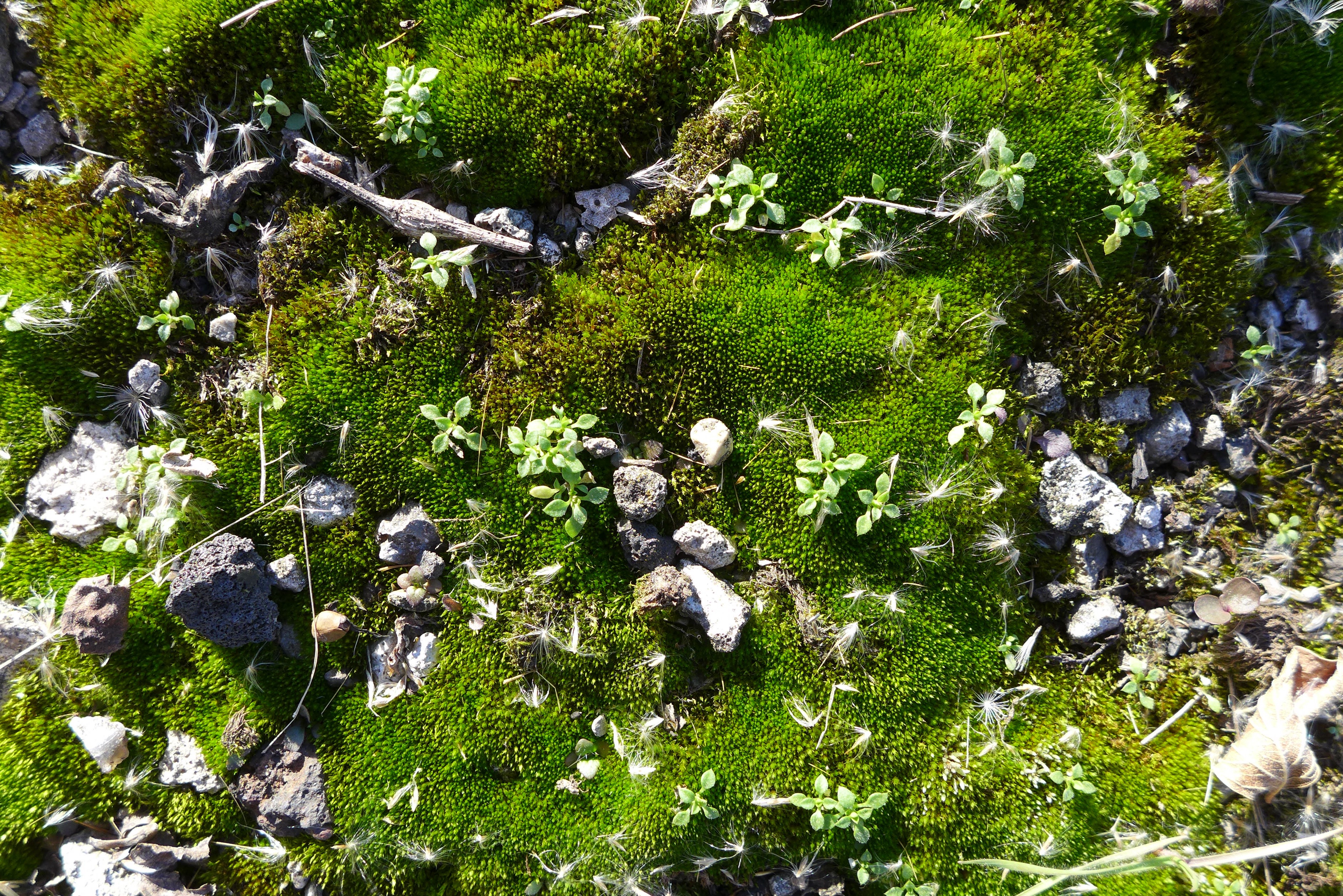
Moss is a critical early successional component of the ecosystem, accumulating organic matter than other species can eventually grow in.
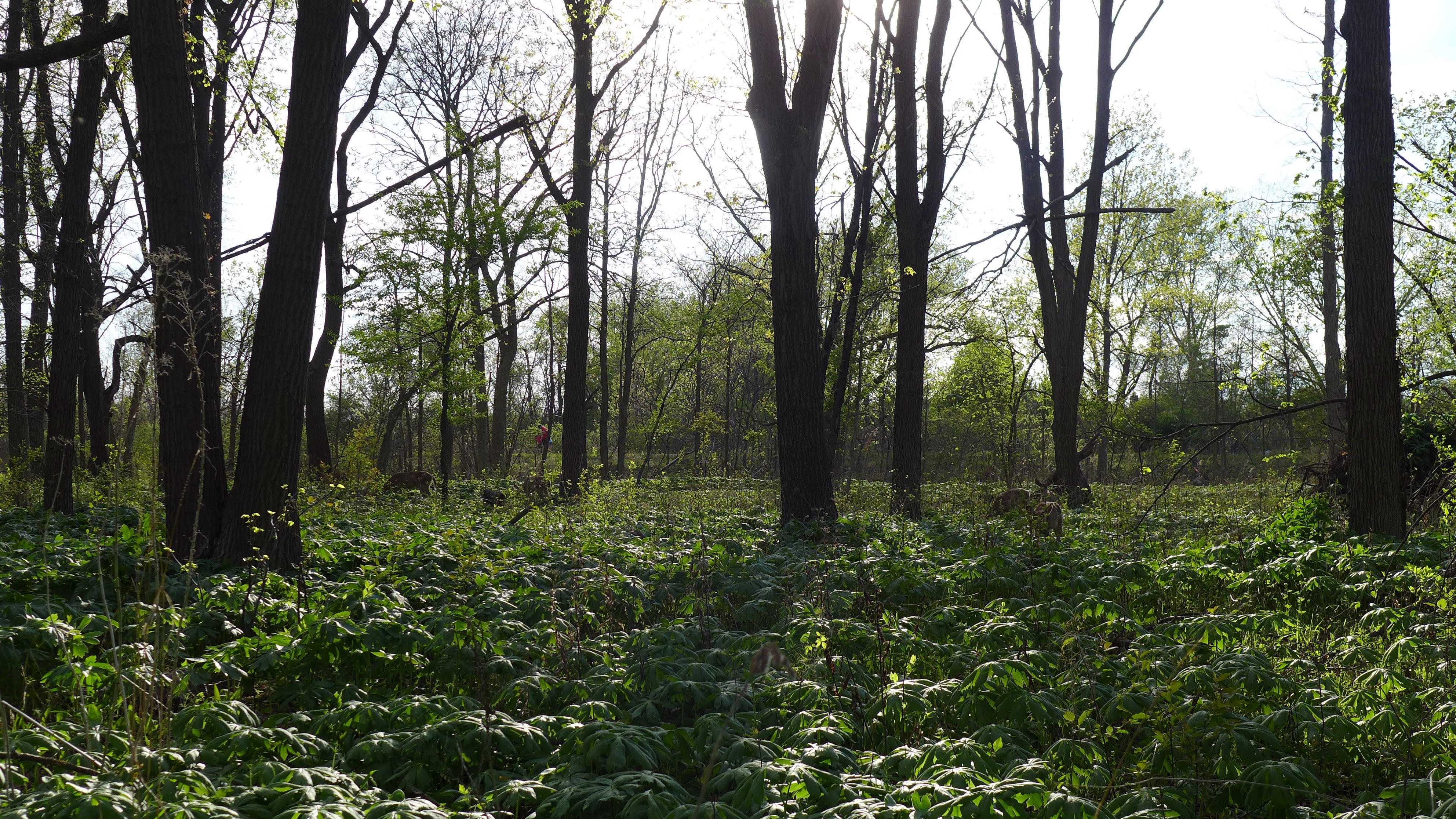
A deer path through the sumac forest. Always follow the deer path.